|
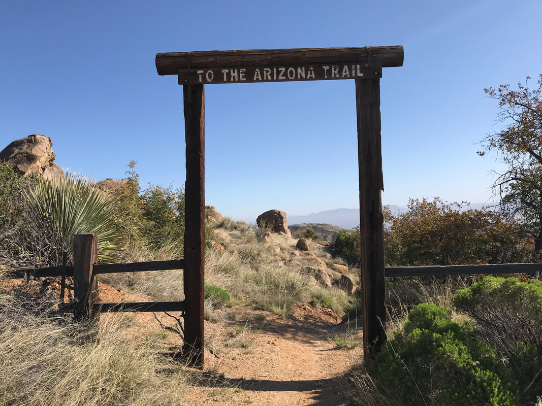
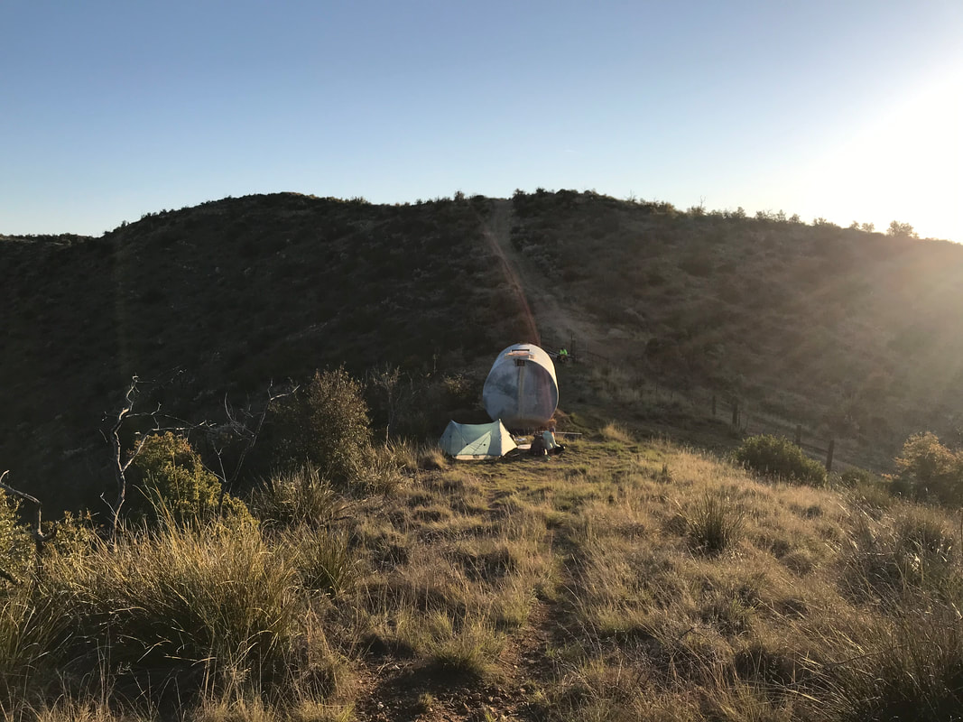
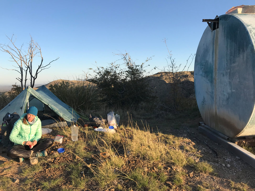
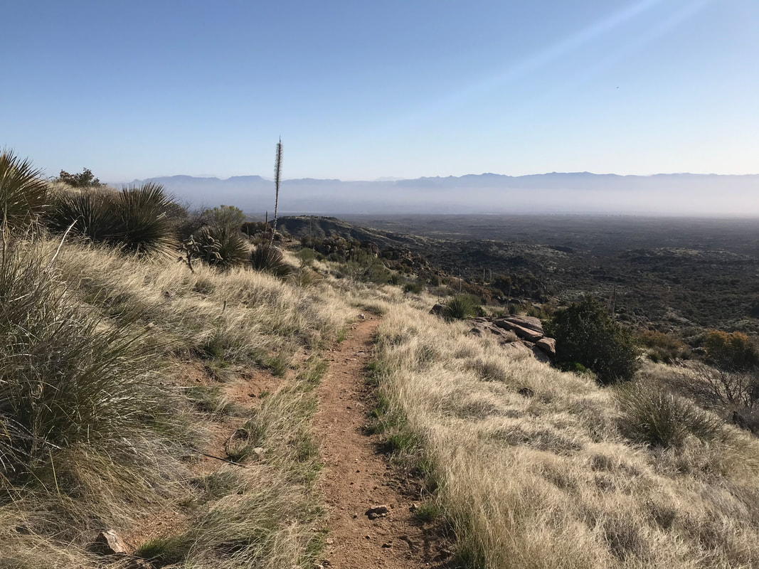
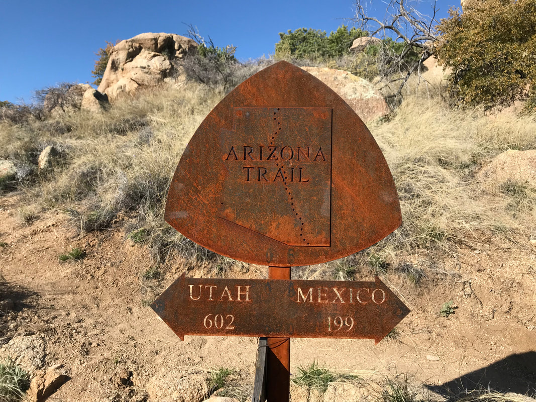
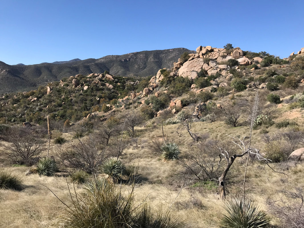
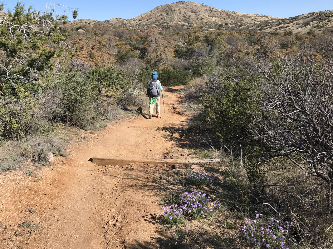
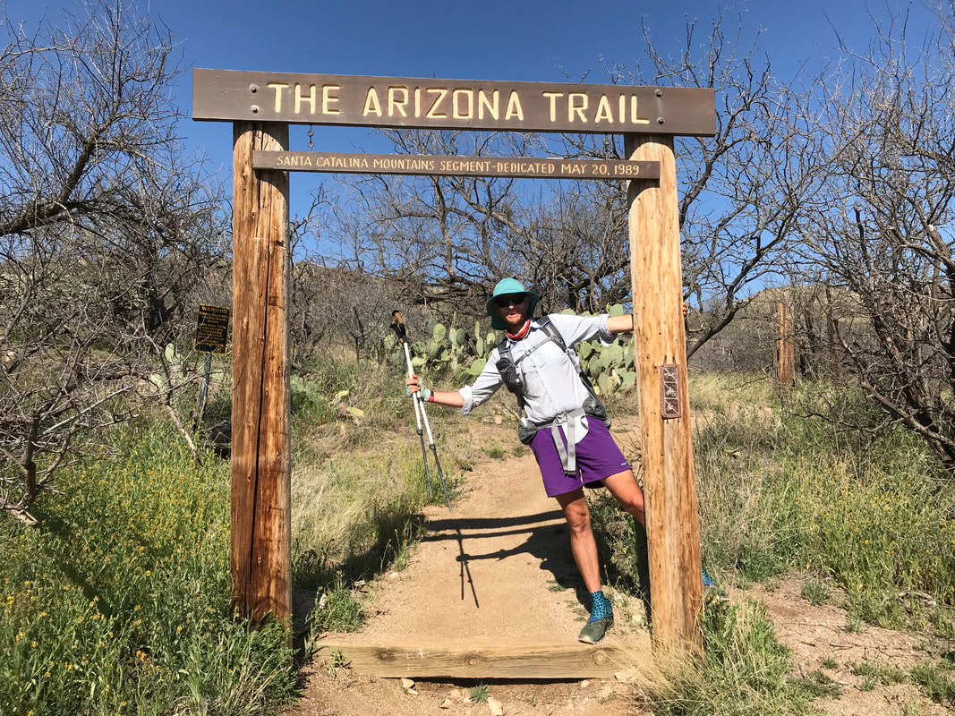
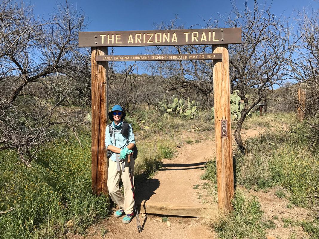
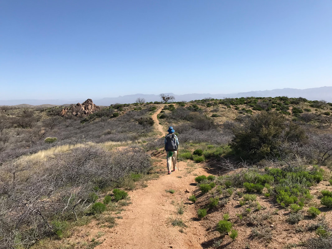
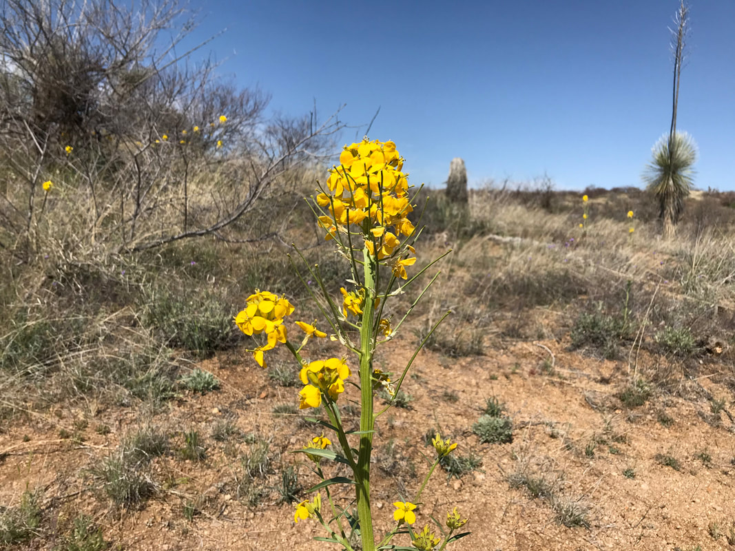
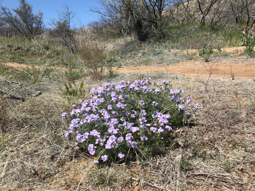
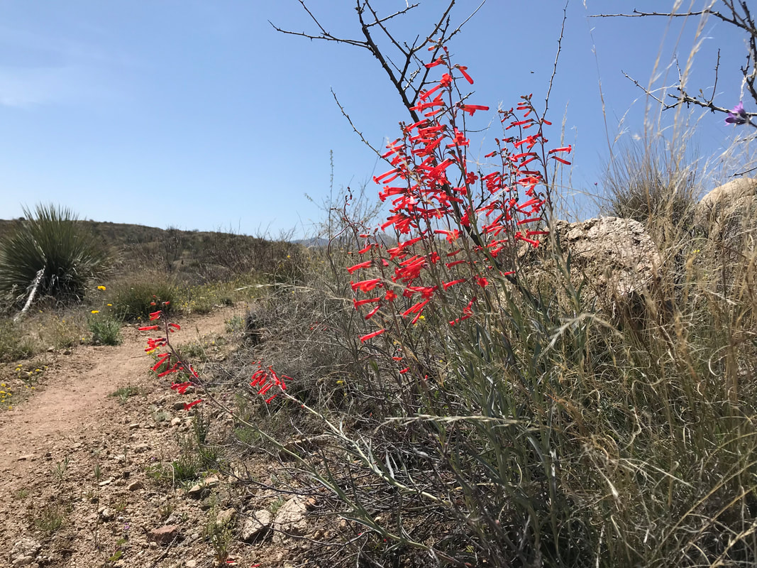
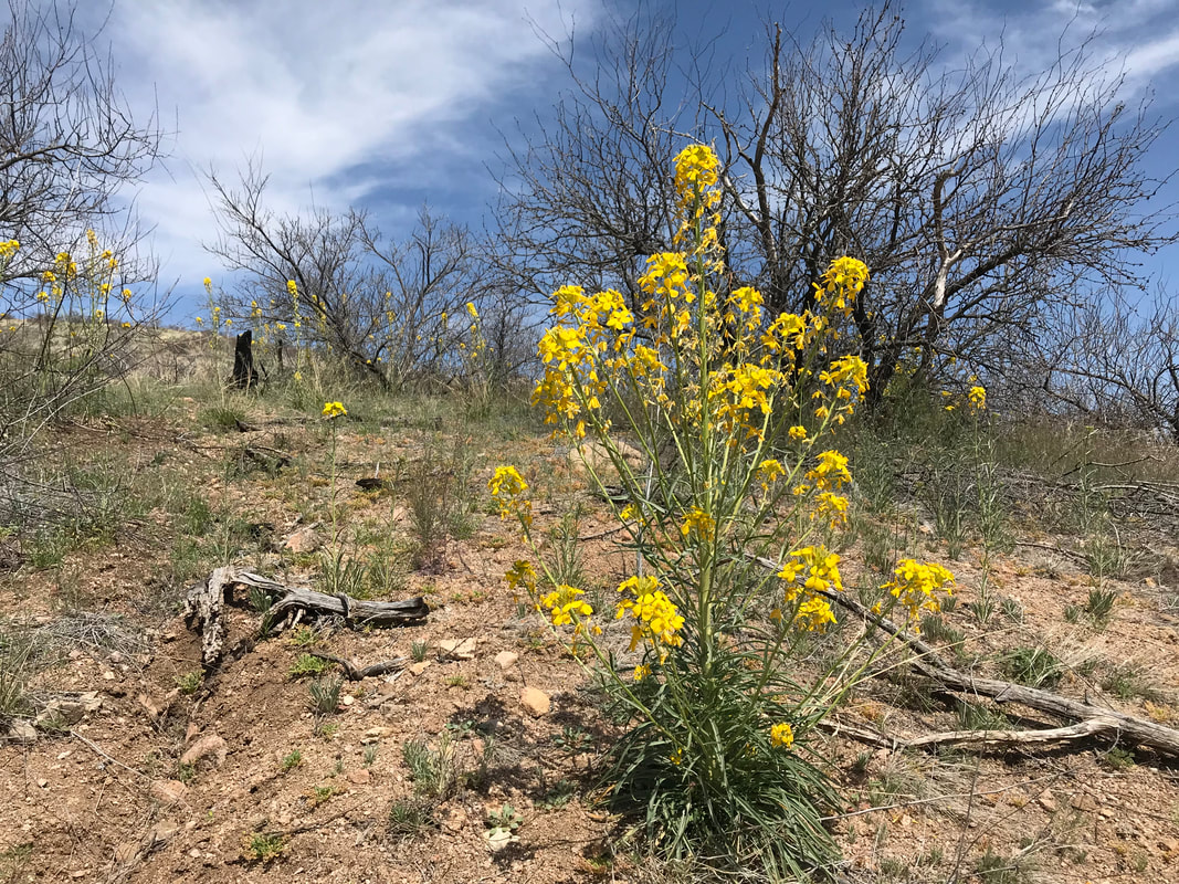
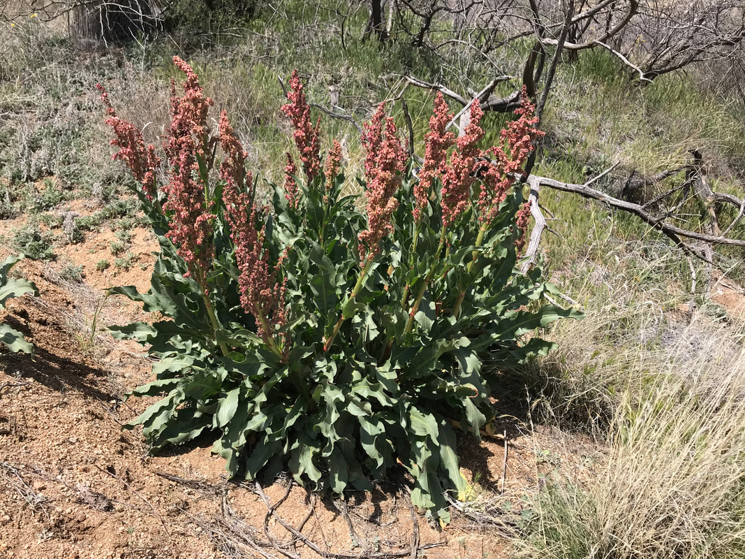
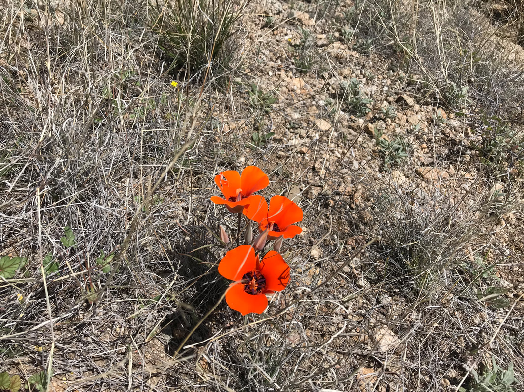
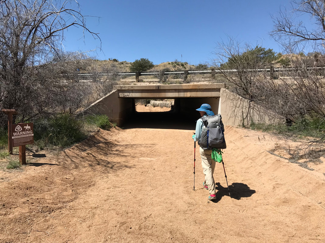
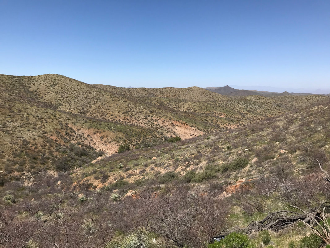
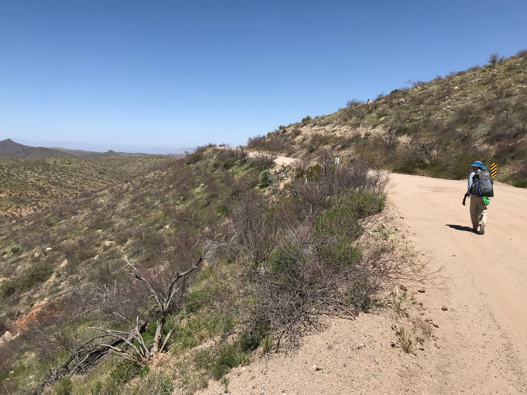
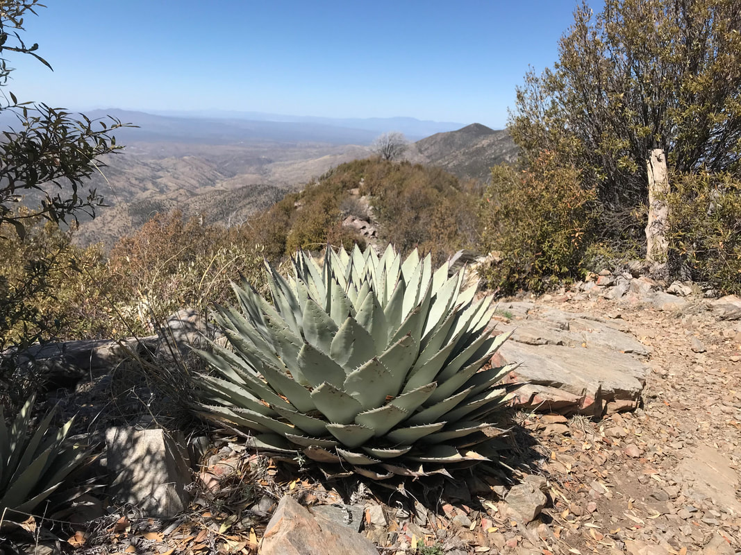
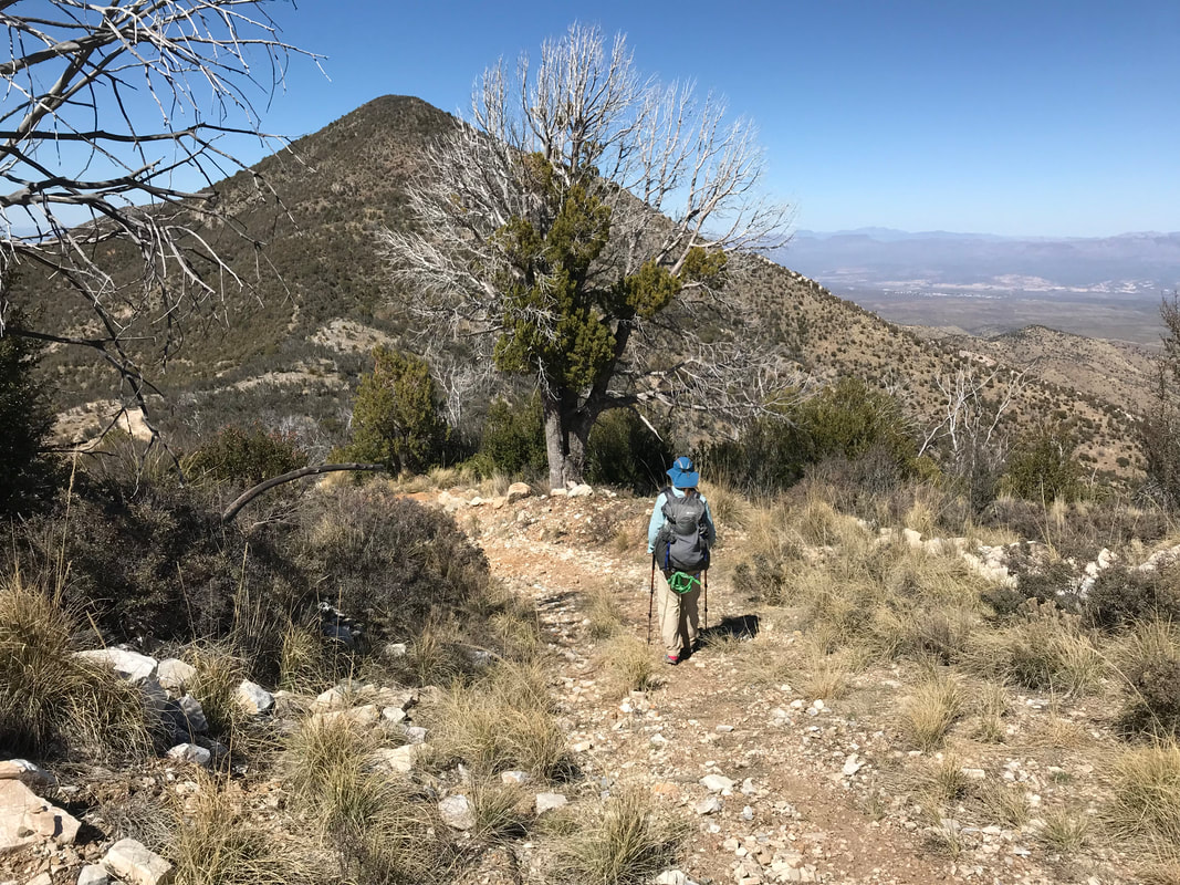
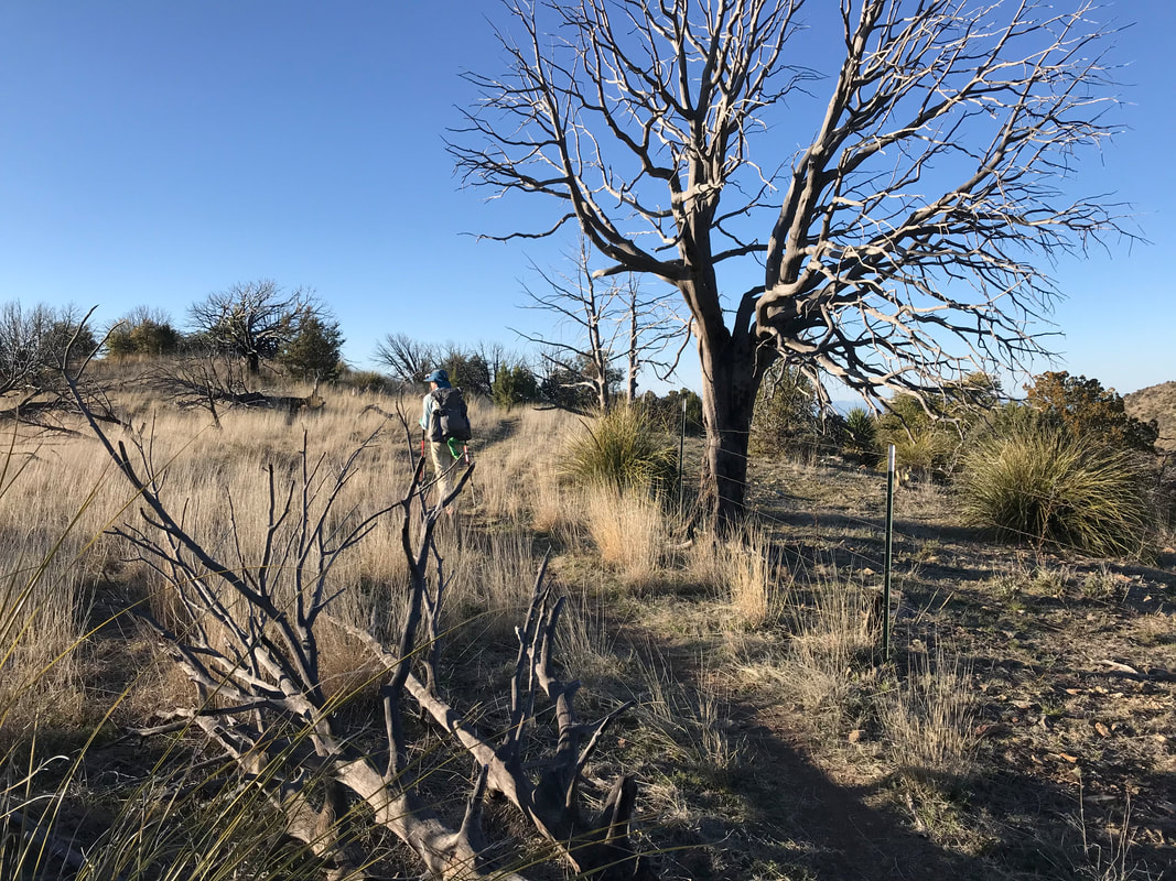
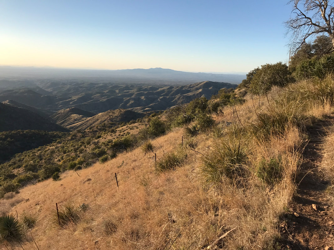
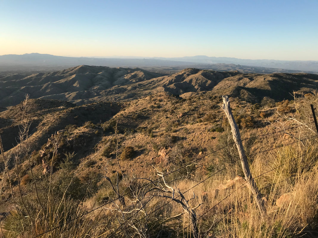
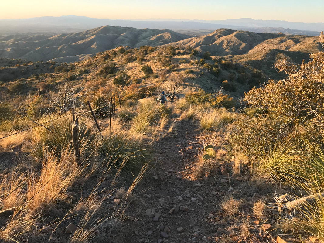
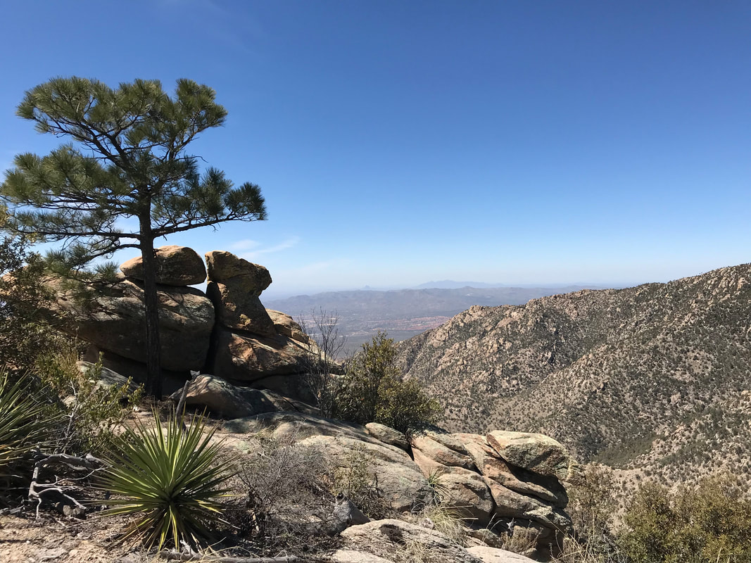
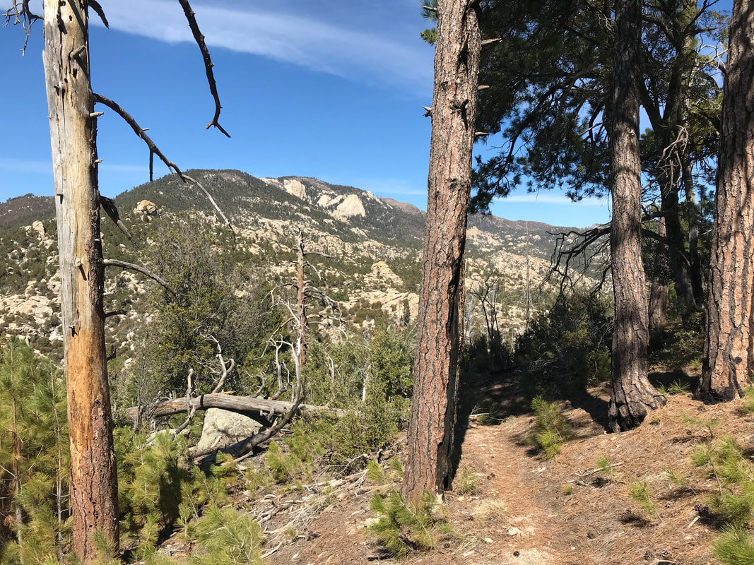
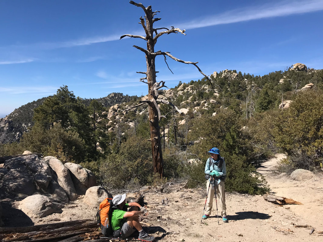
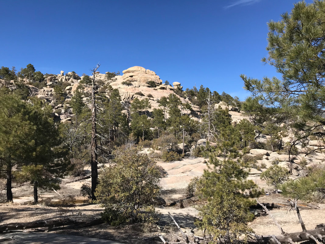
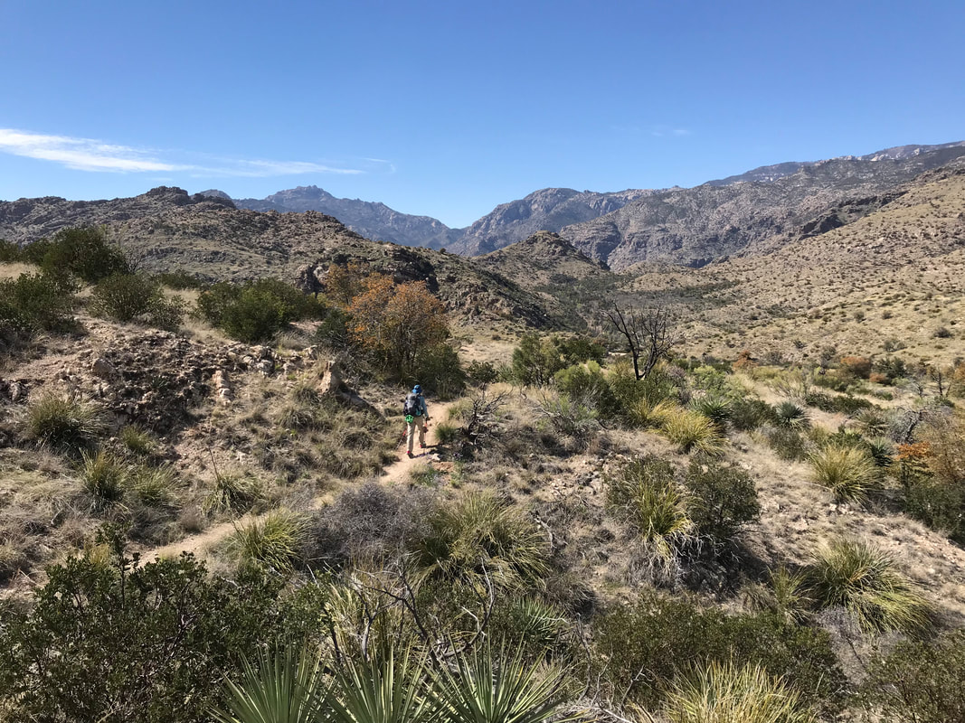
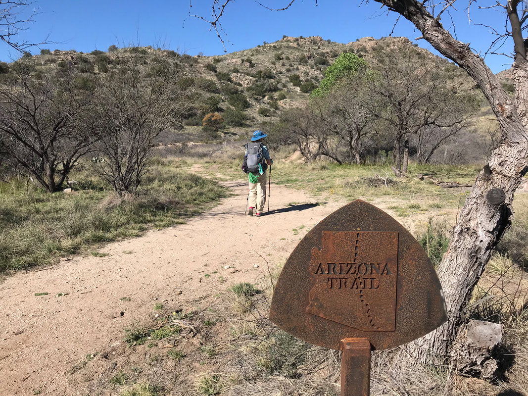
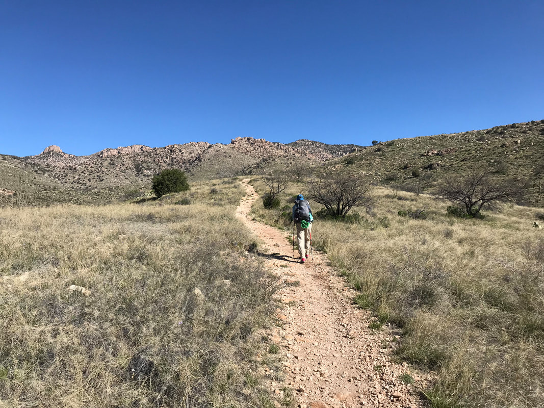
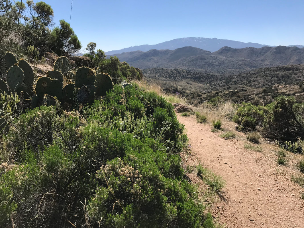
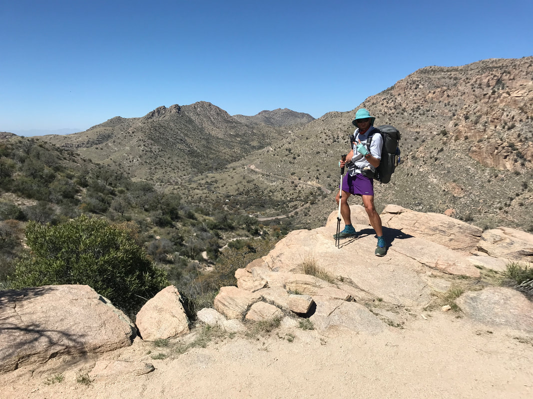
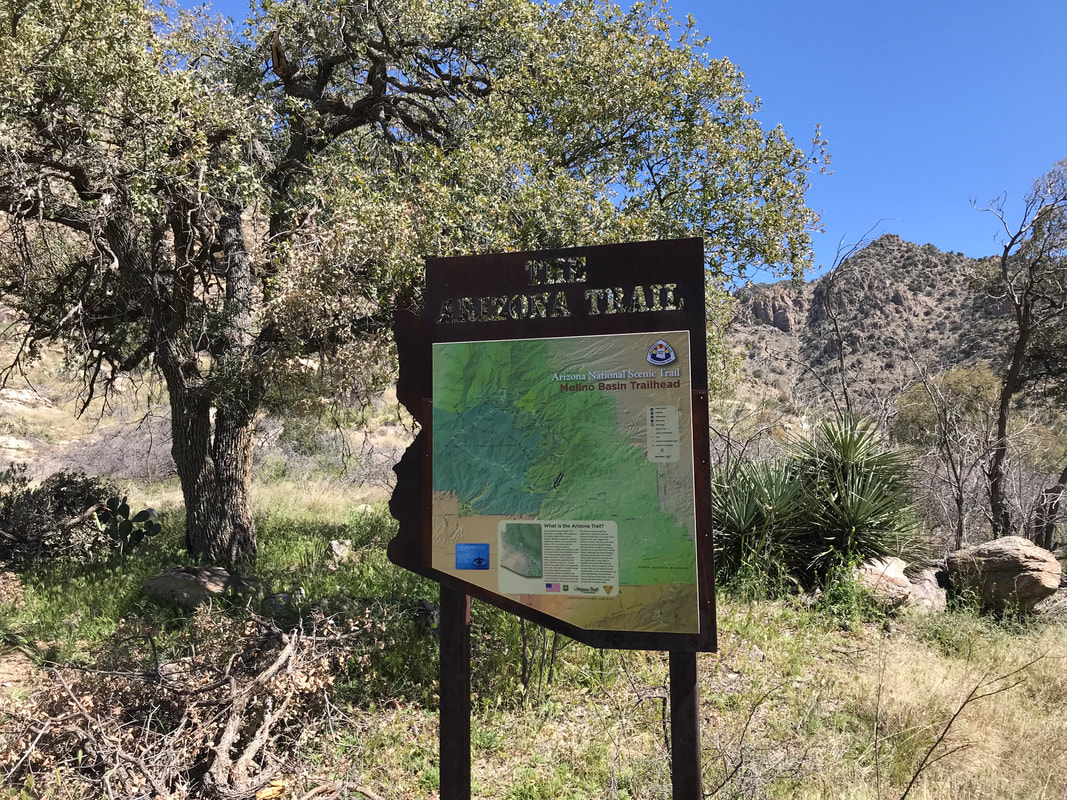
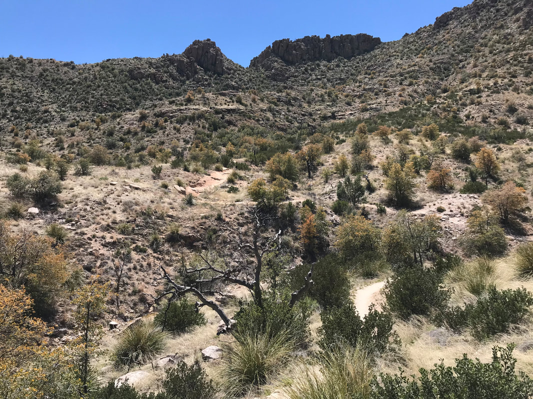
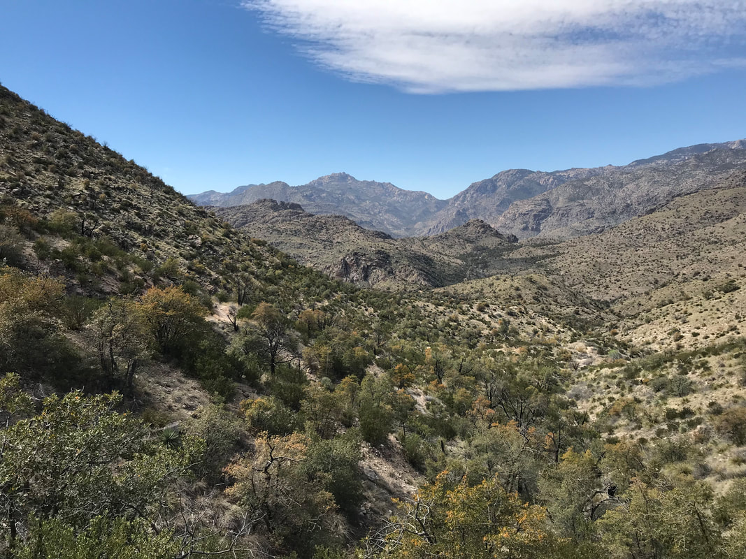
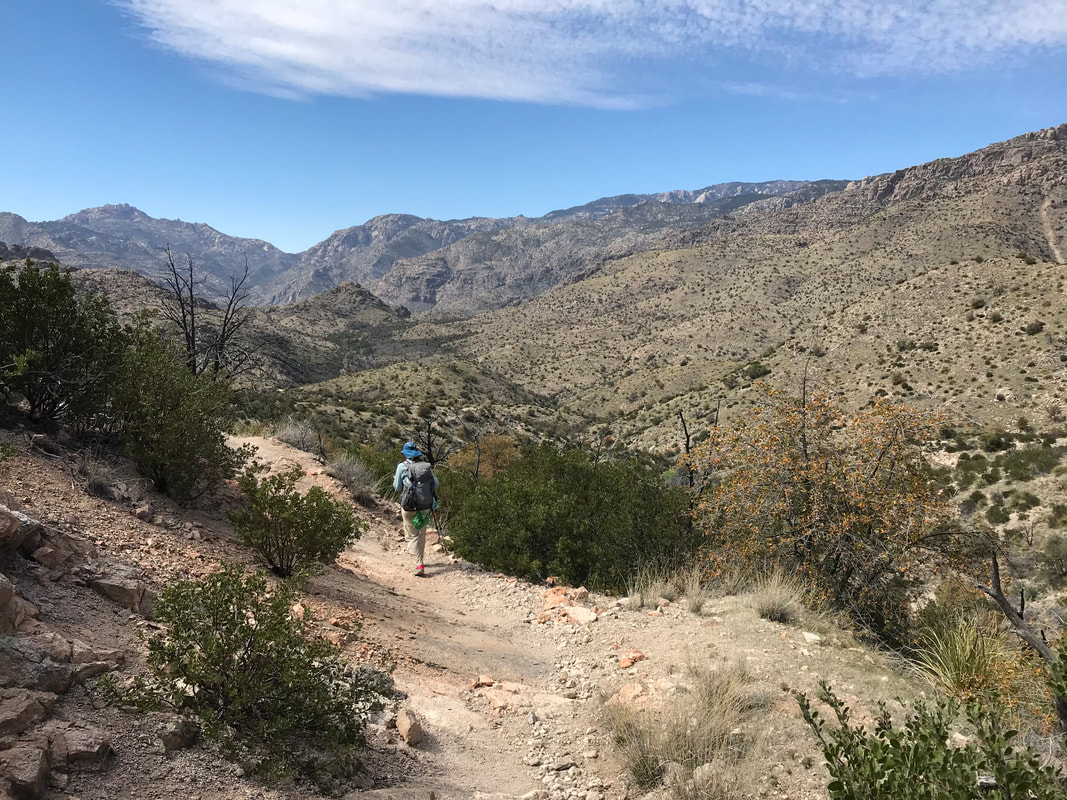
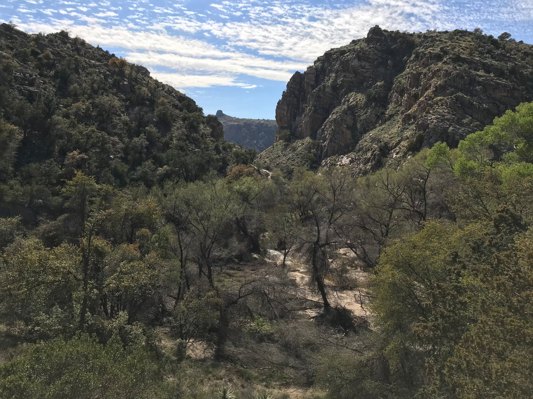
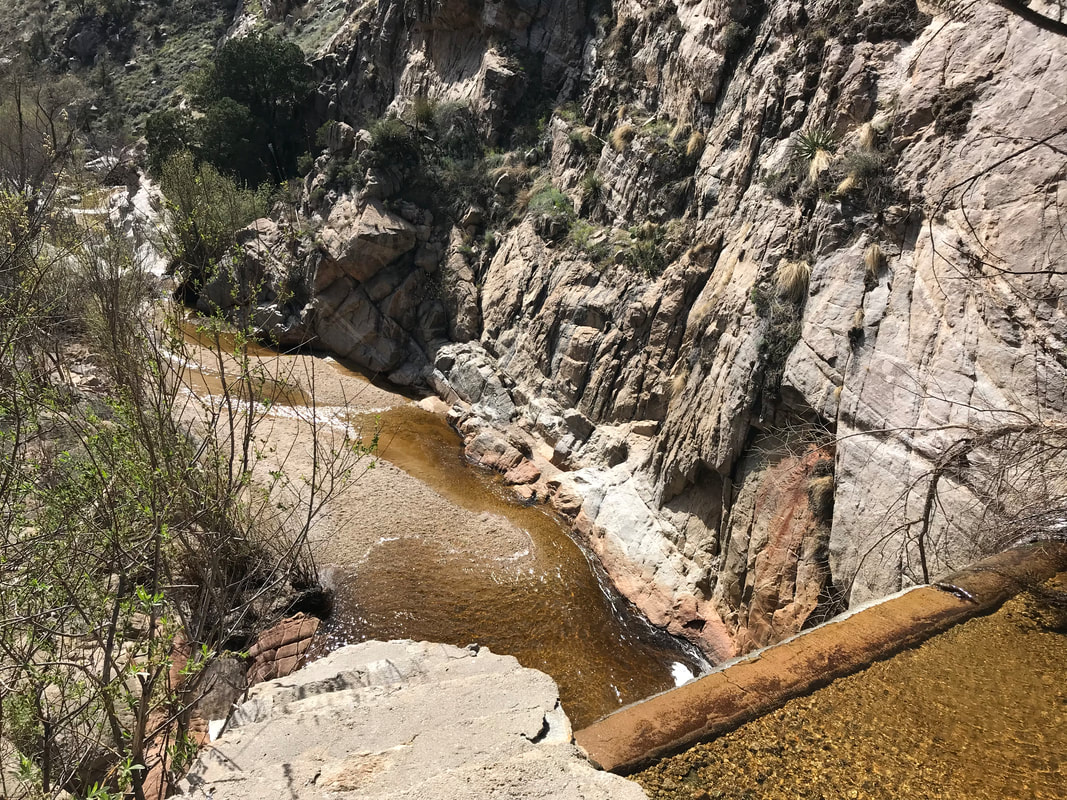
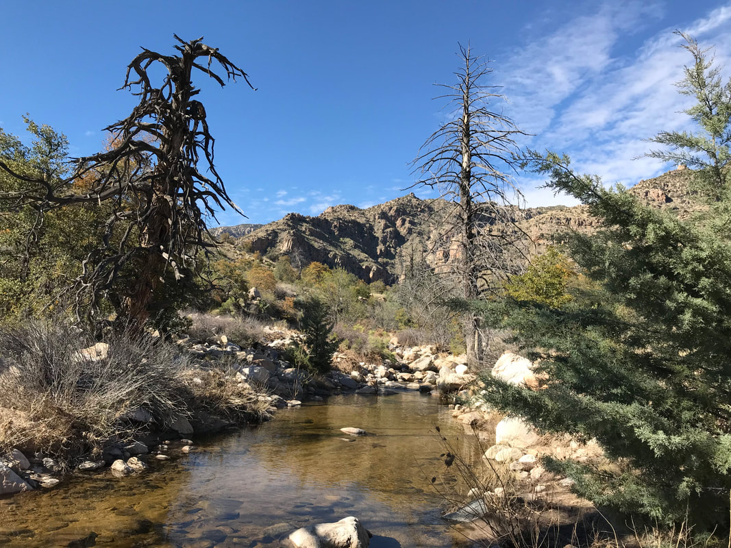
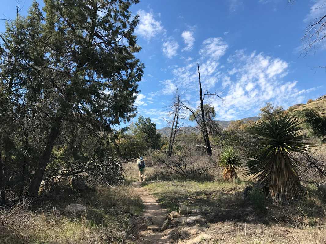
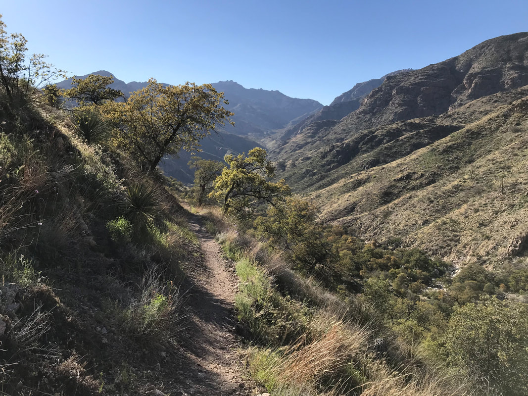
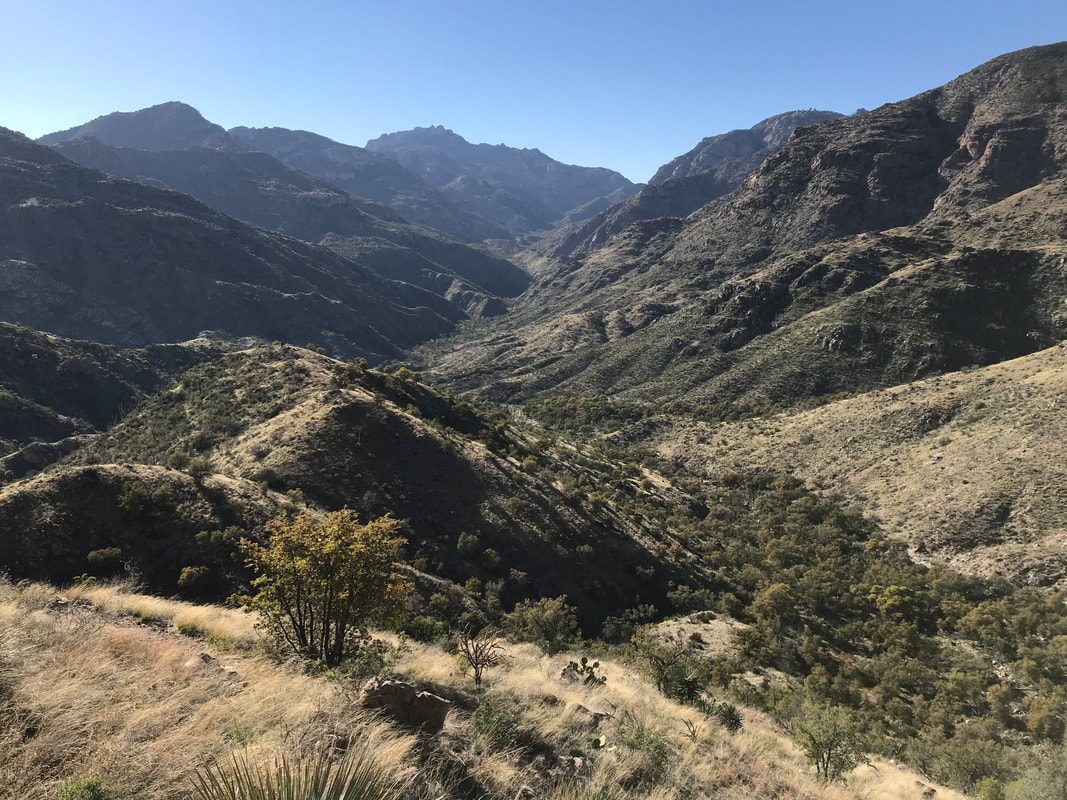
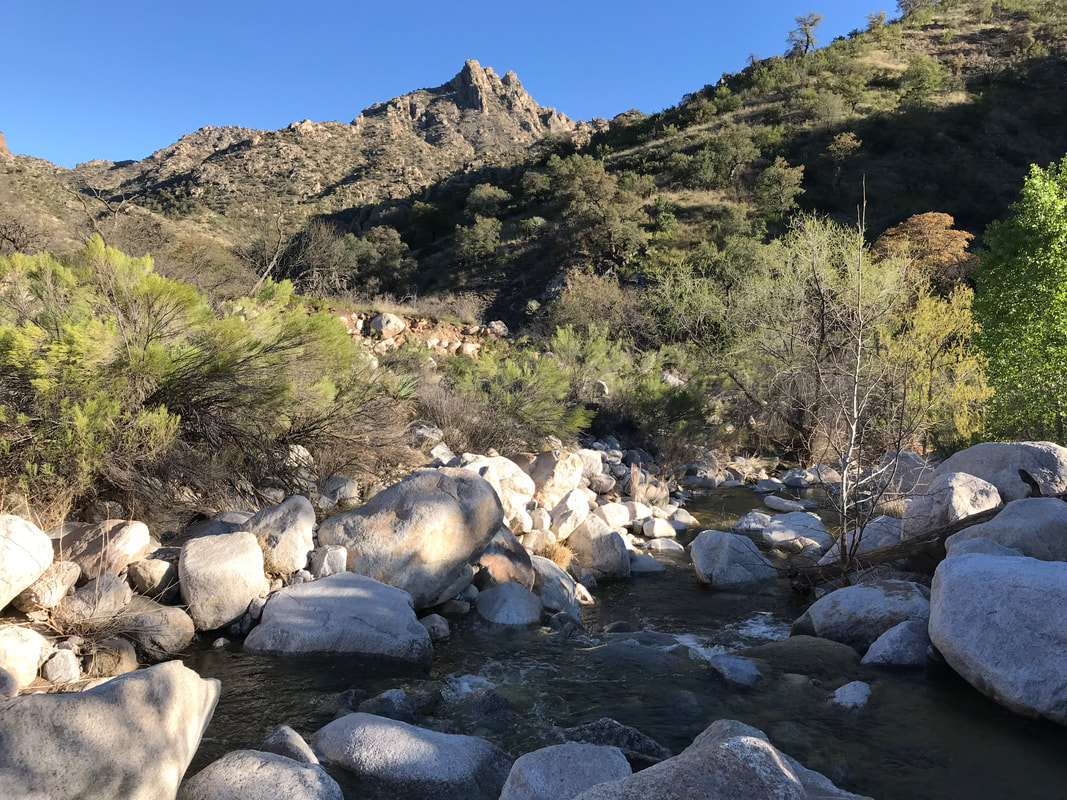
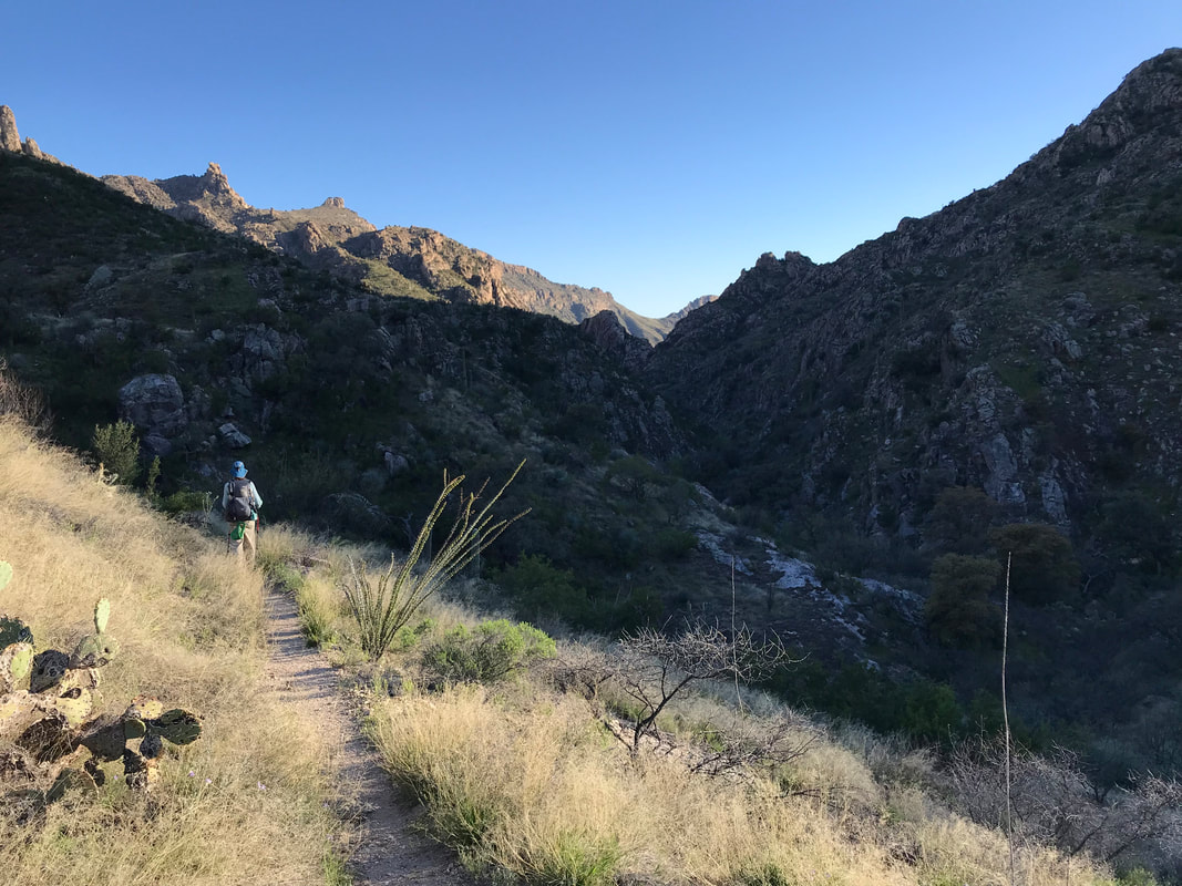
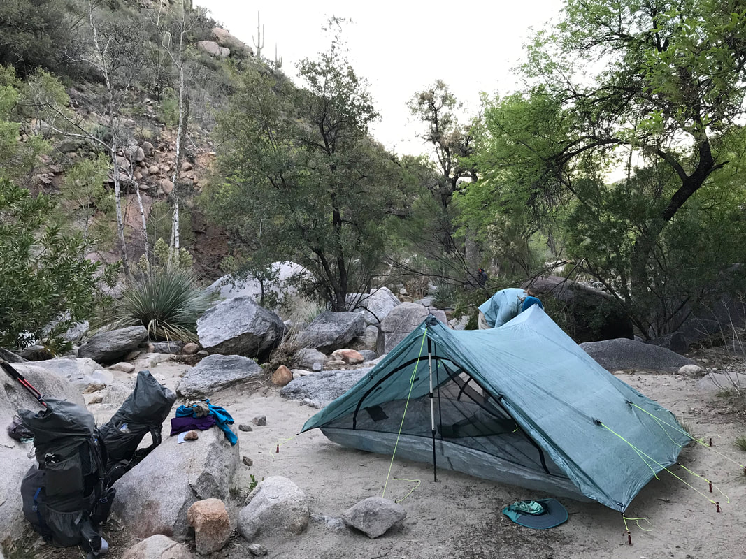
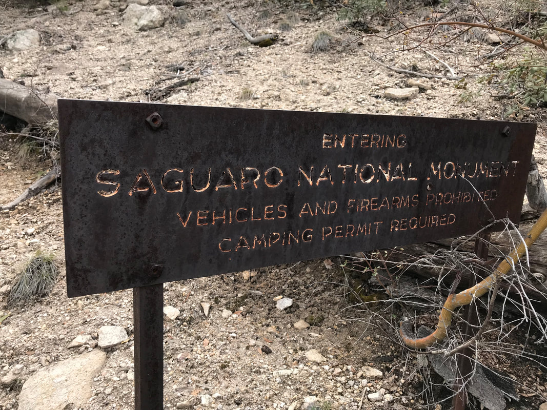
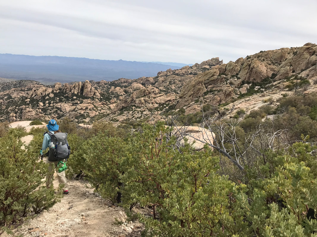
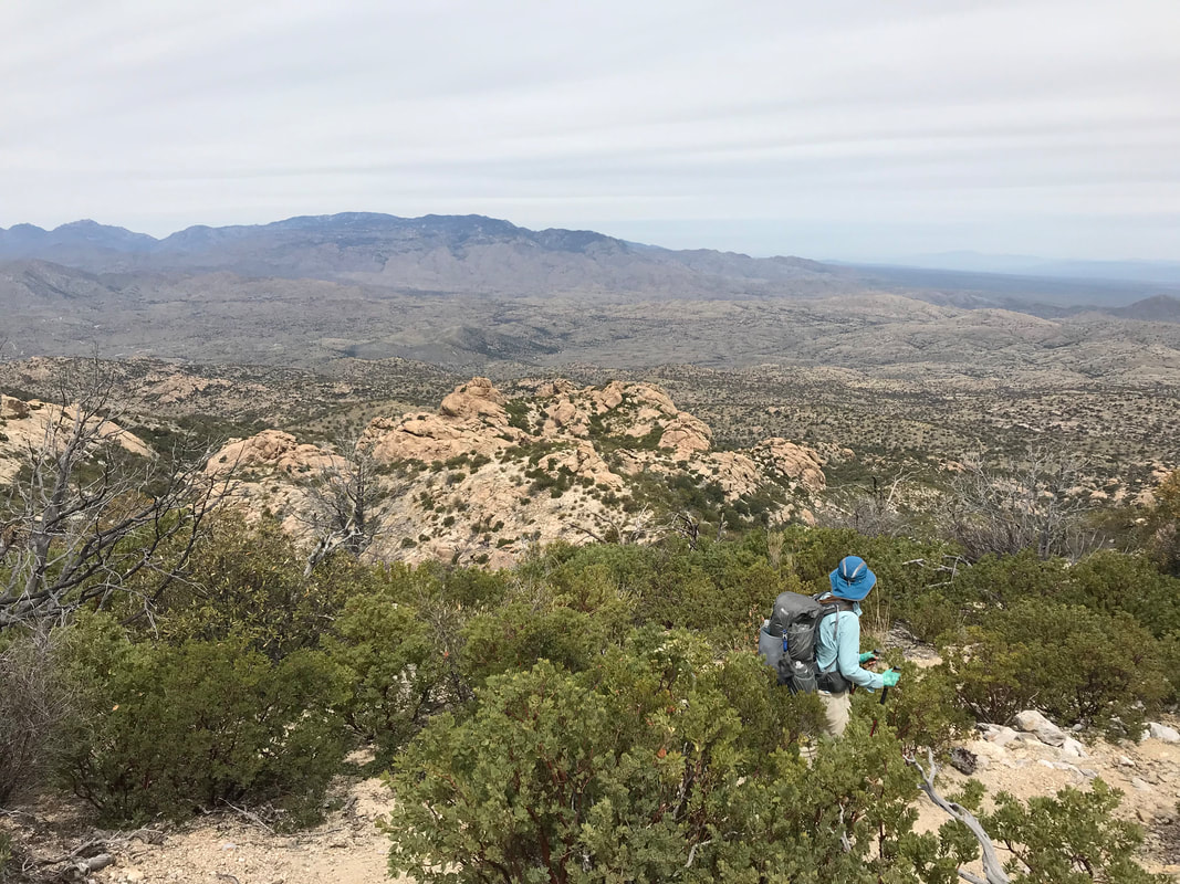
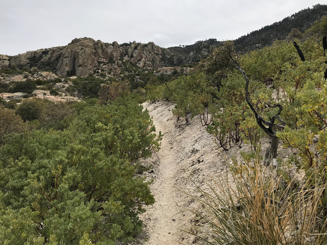
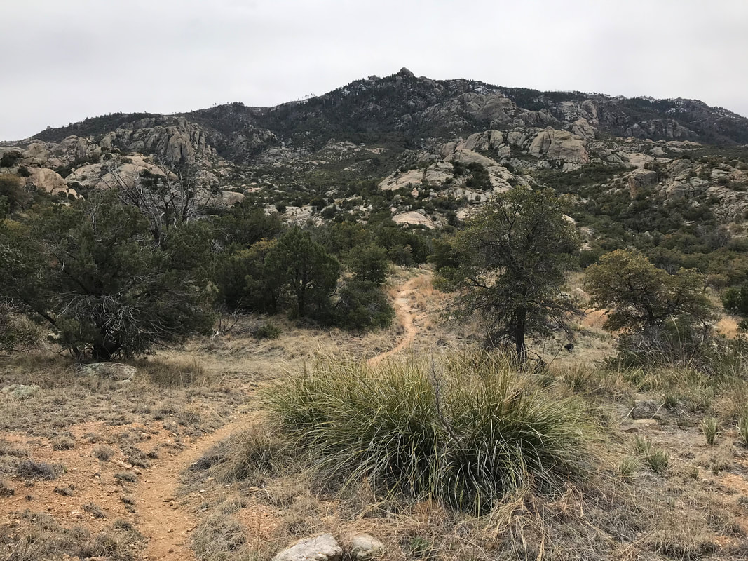
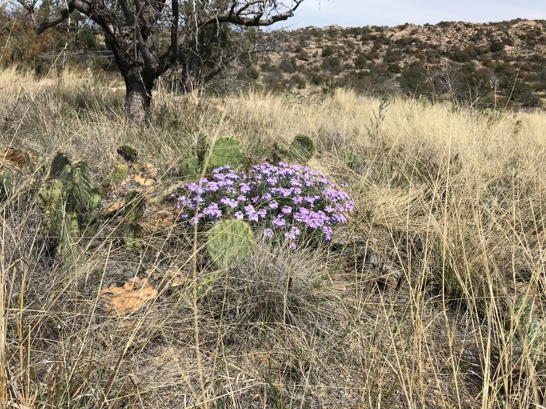
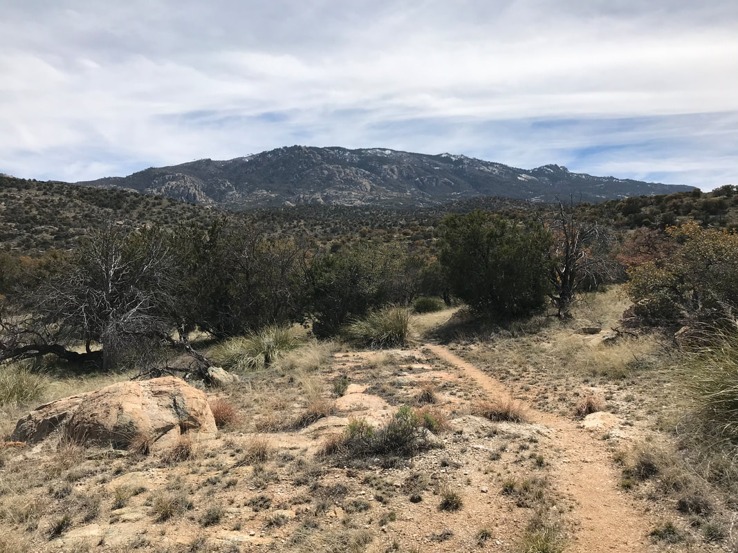
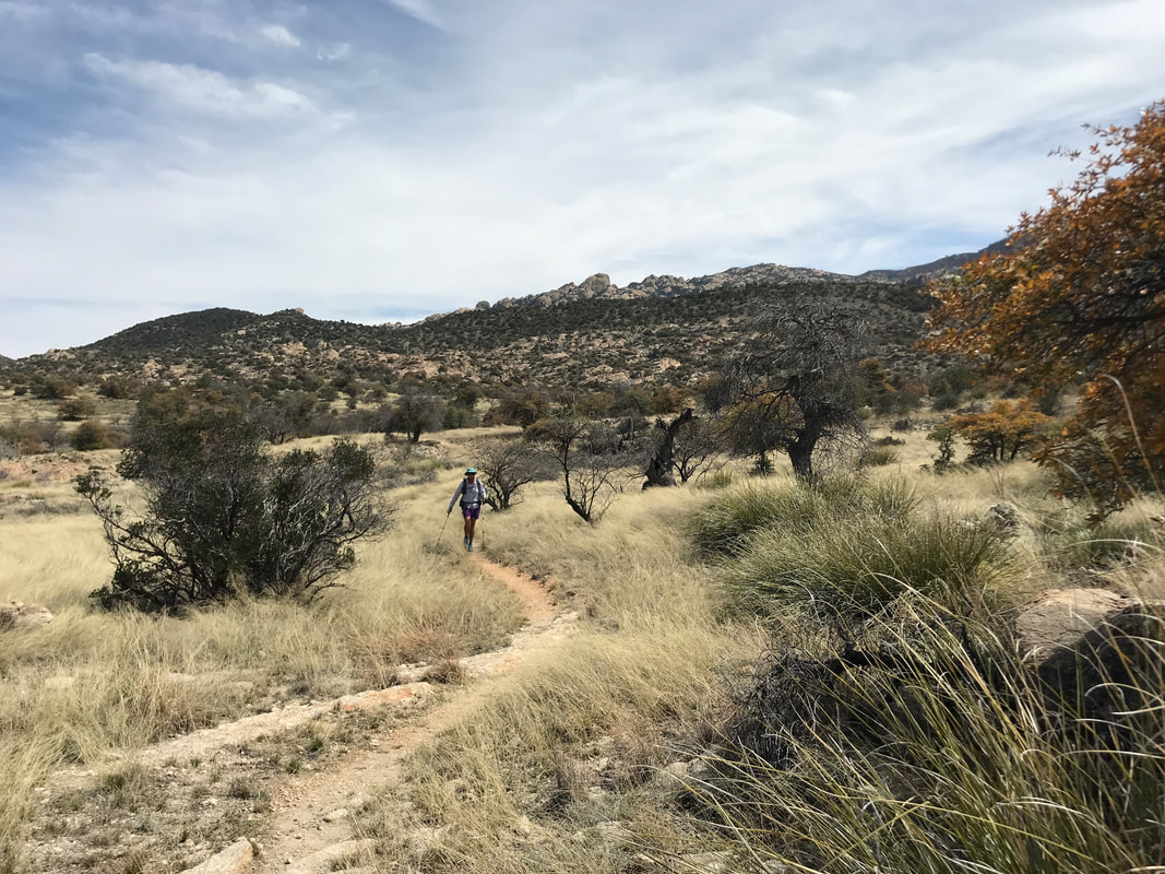
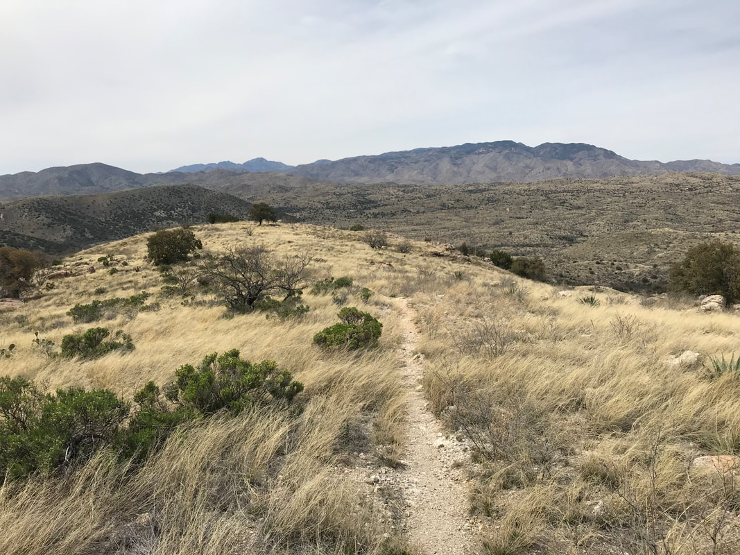
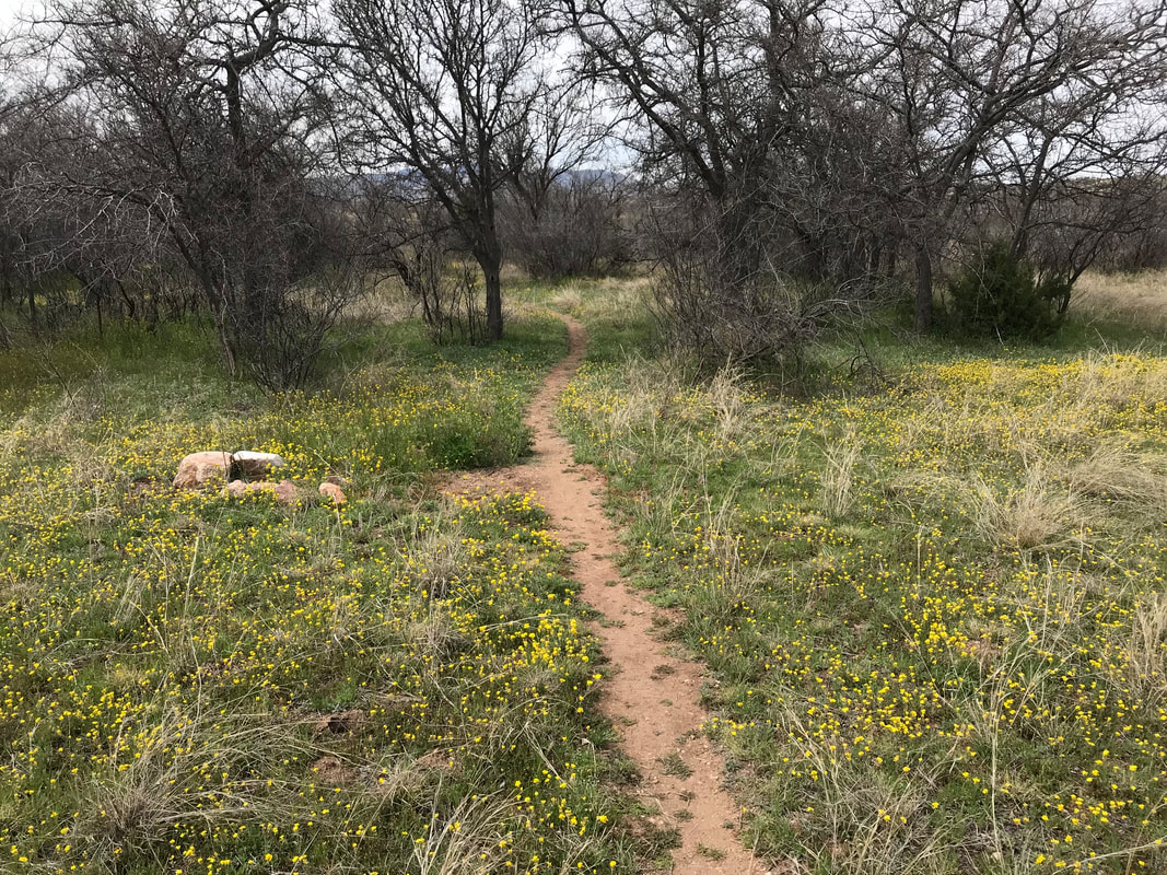
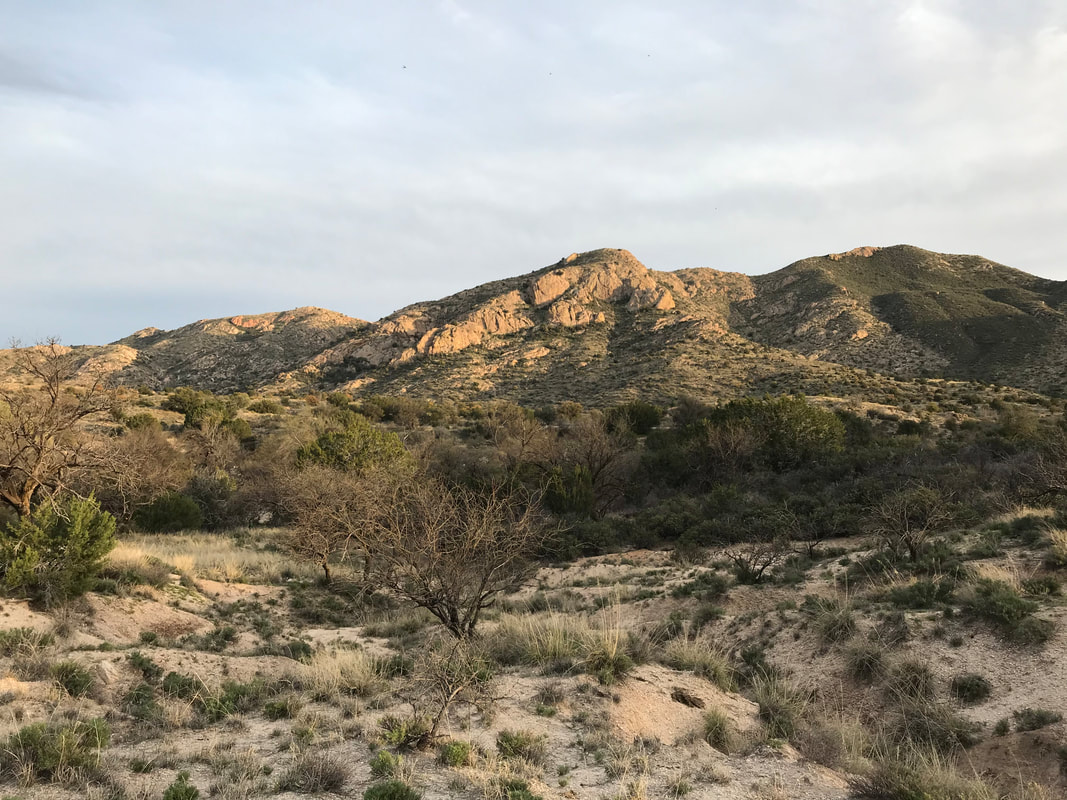
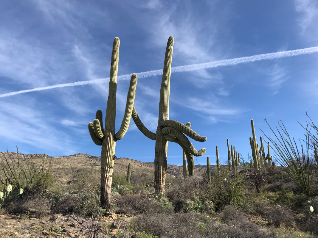
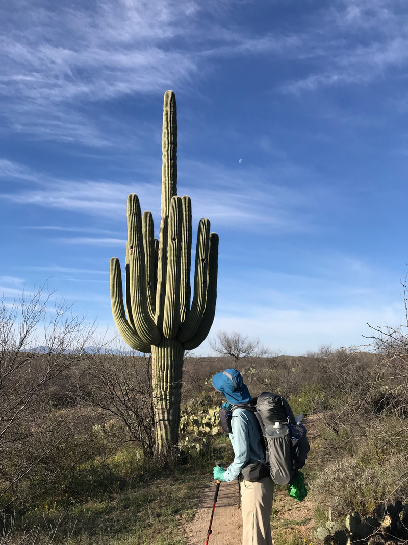
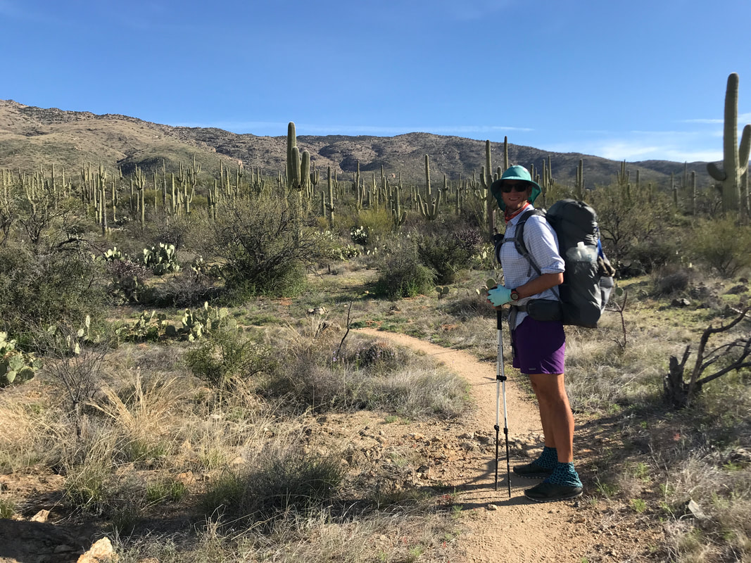
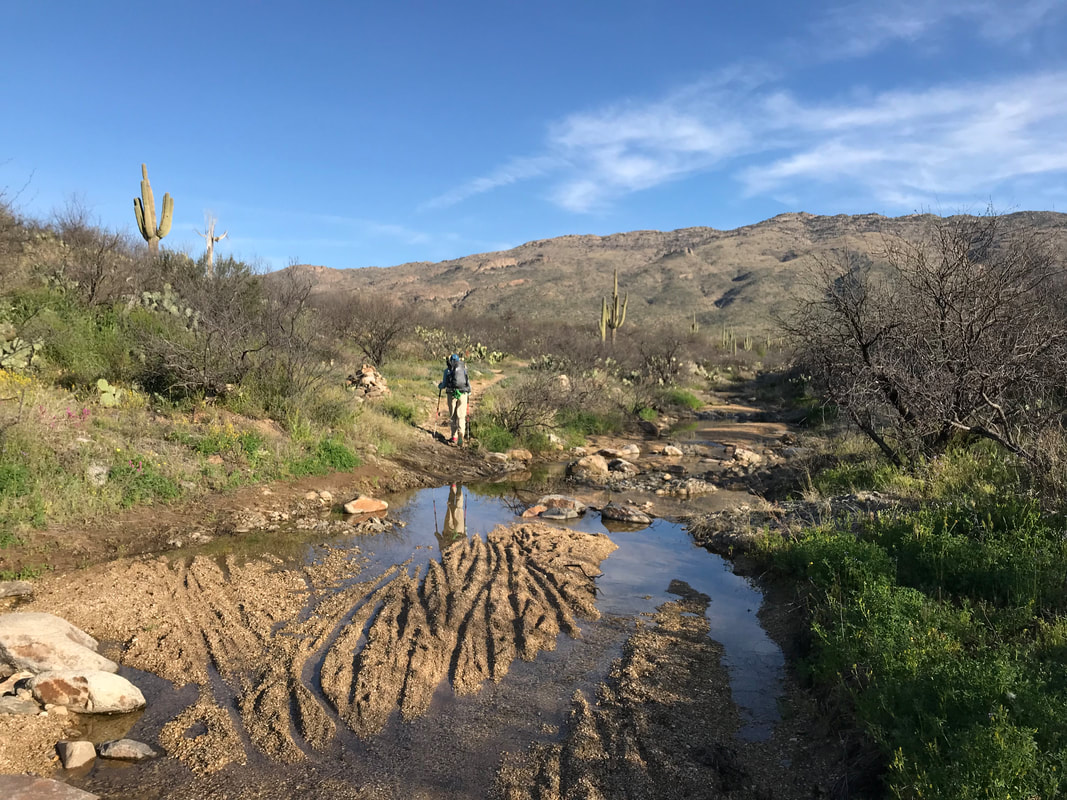
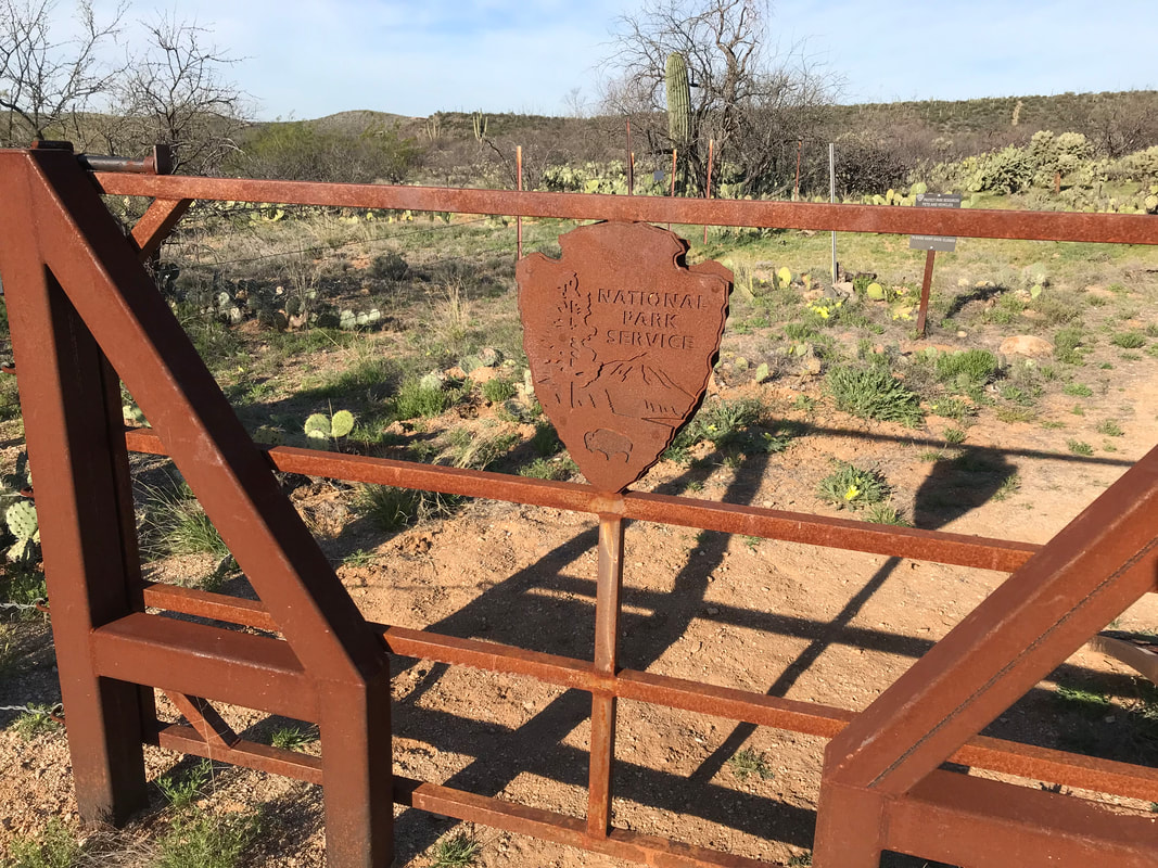
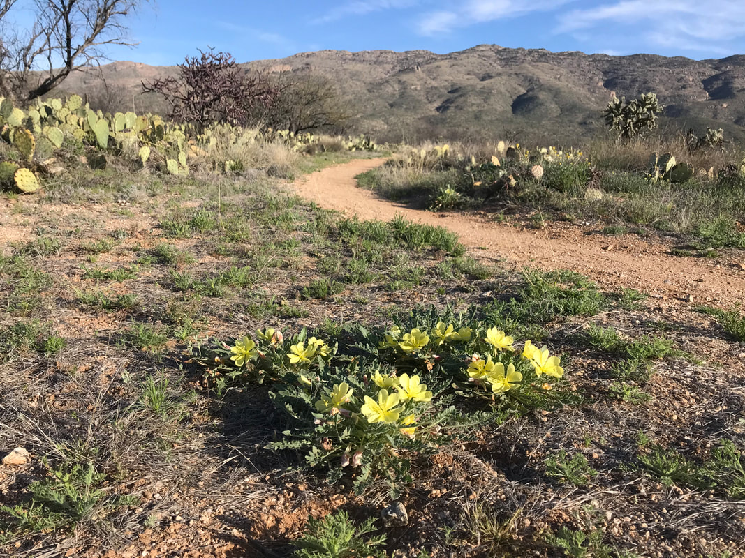
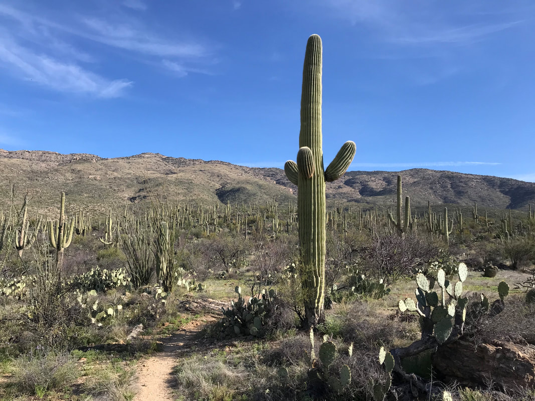
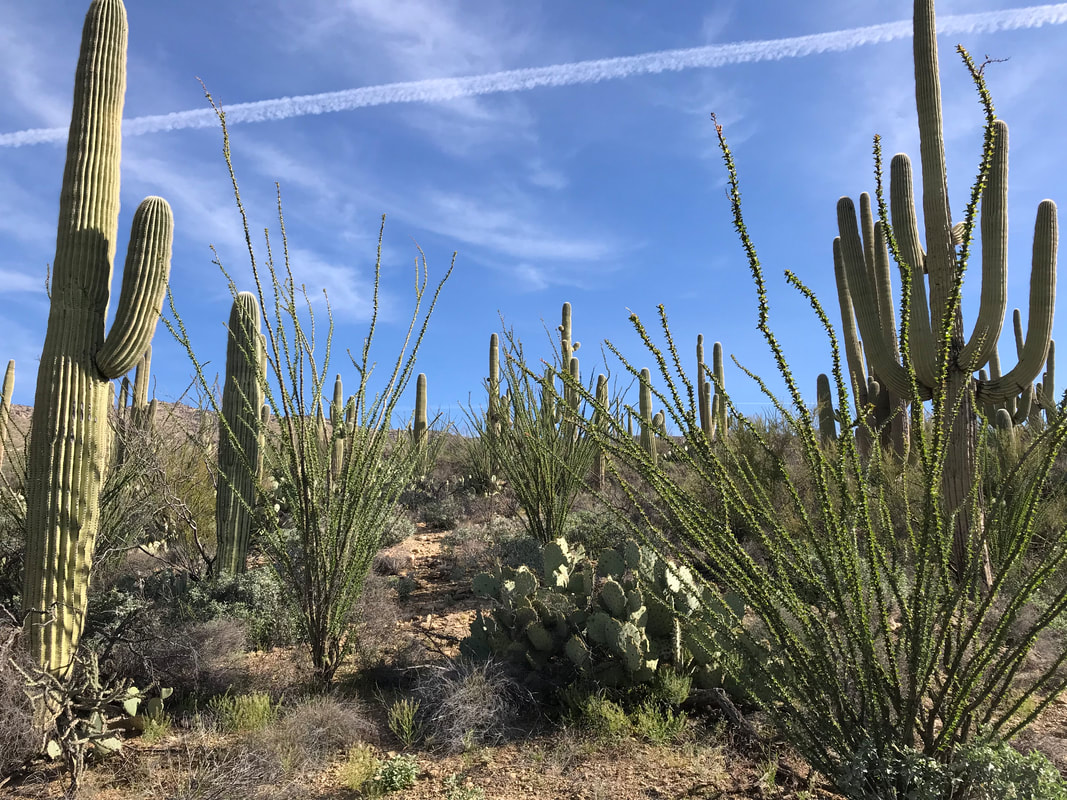
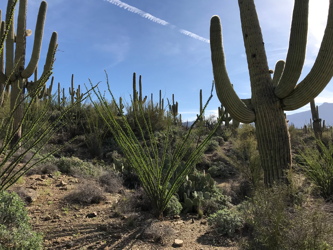
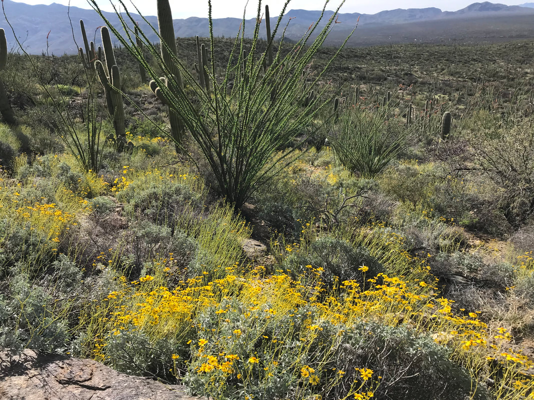
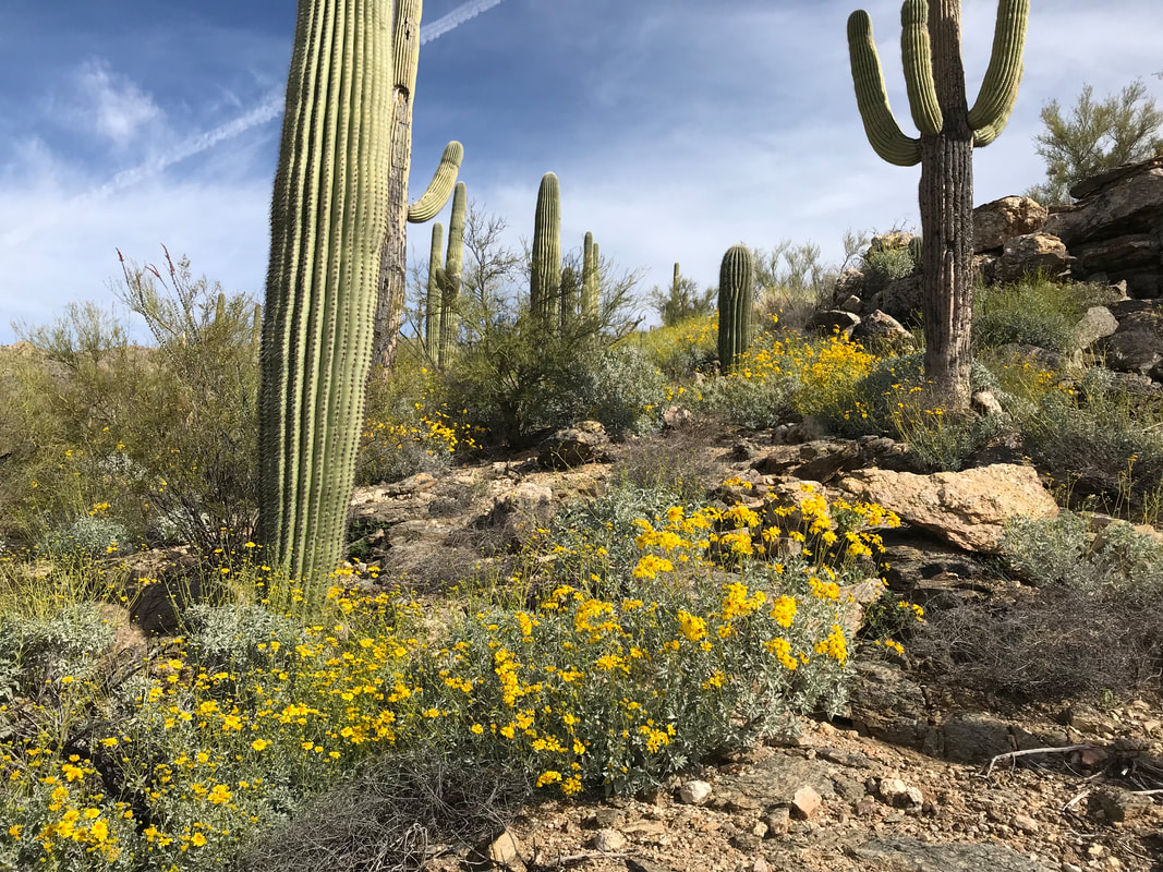
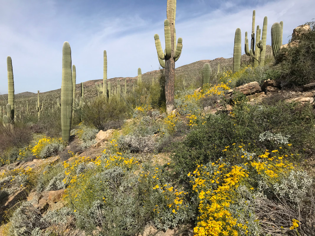
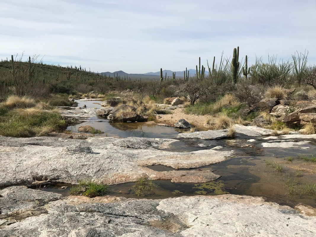
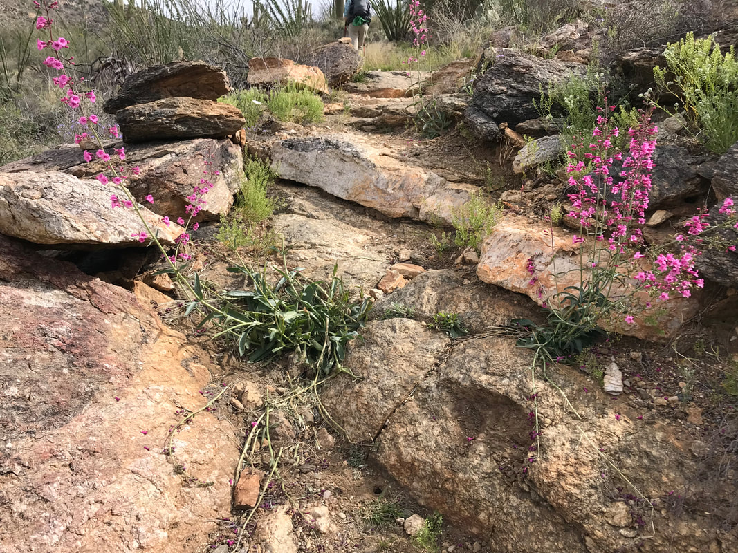
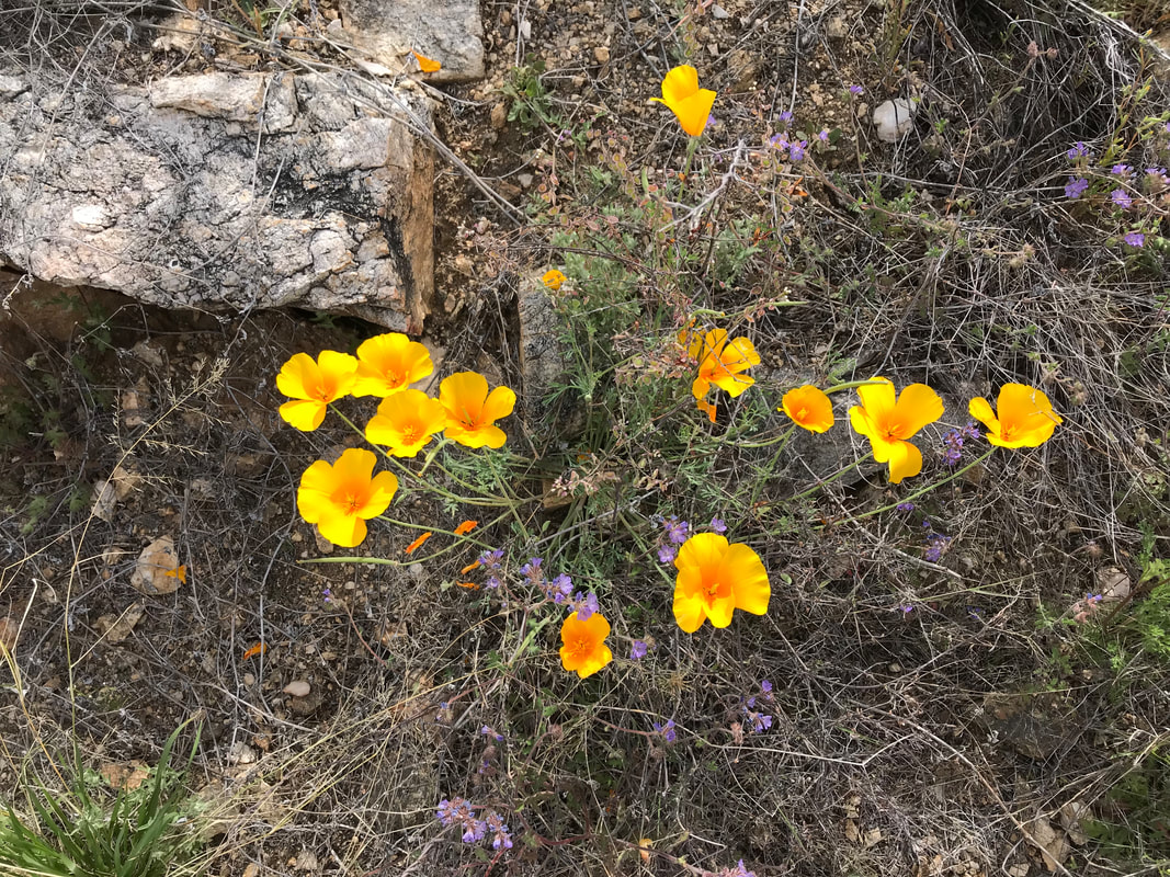
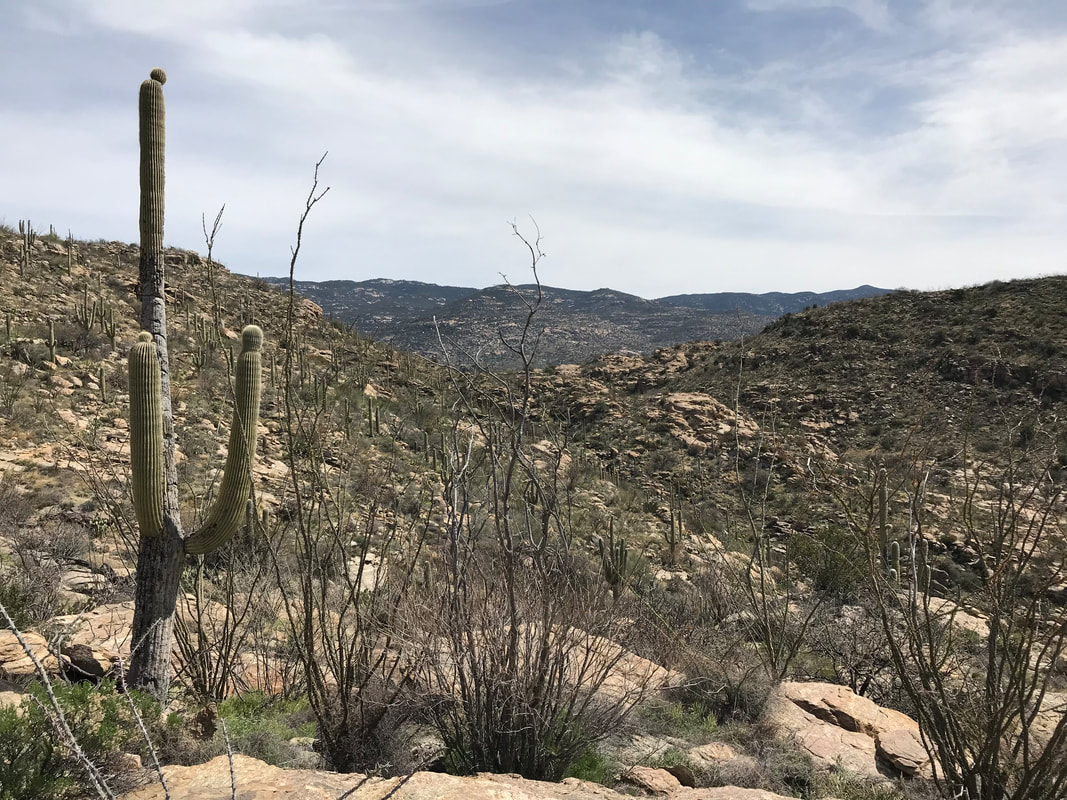
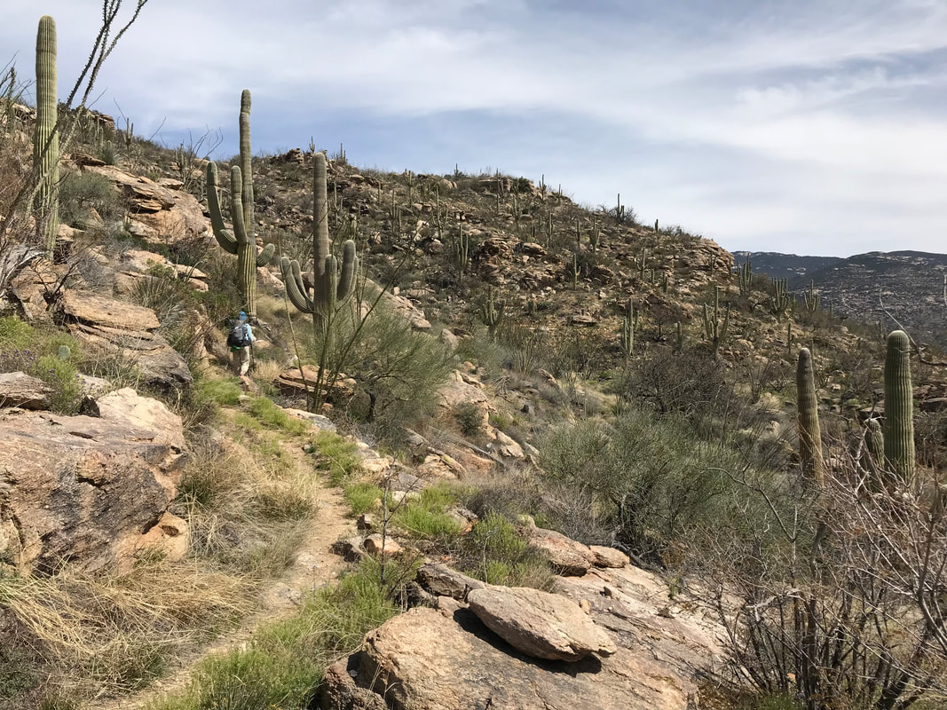
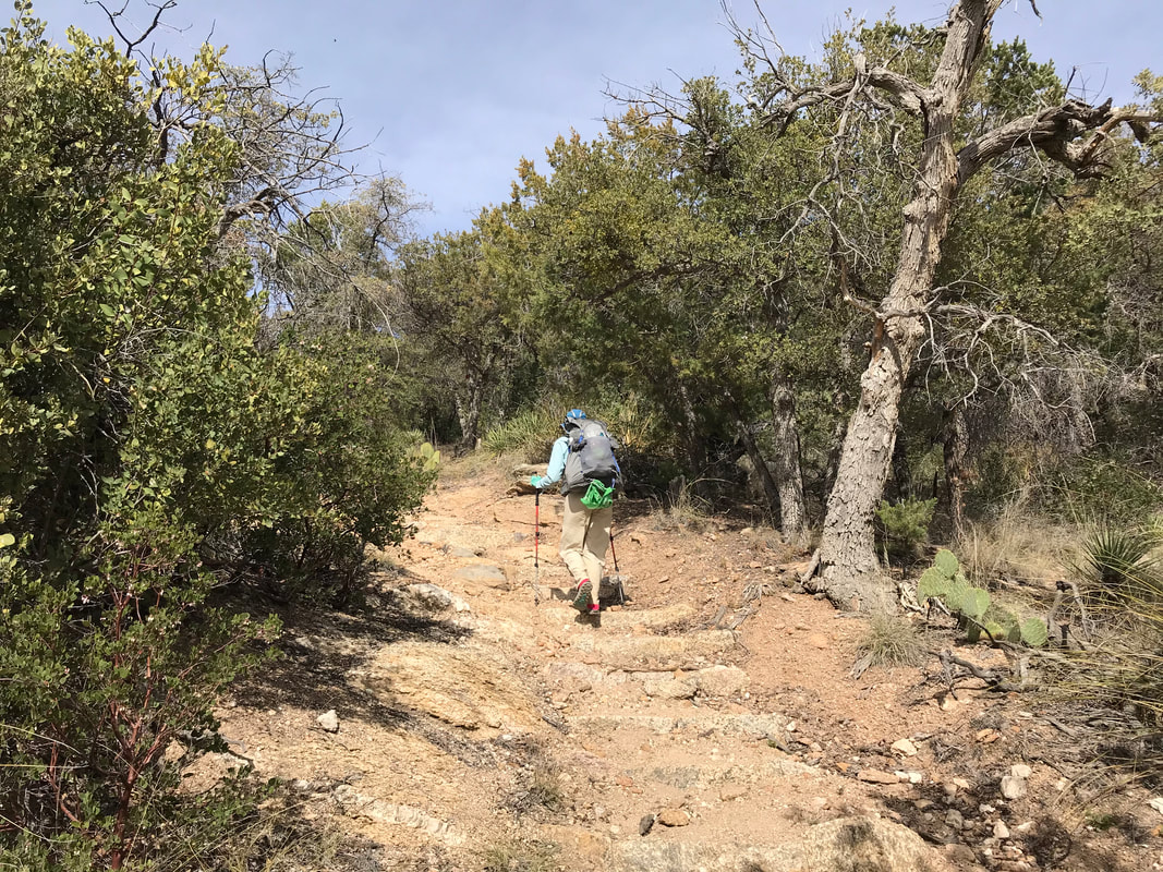
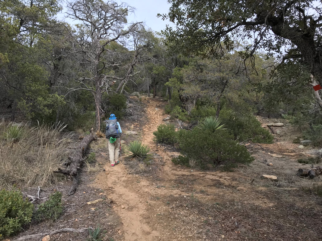
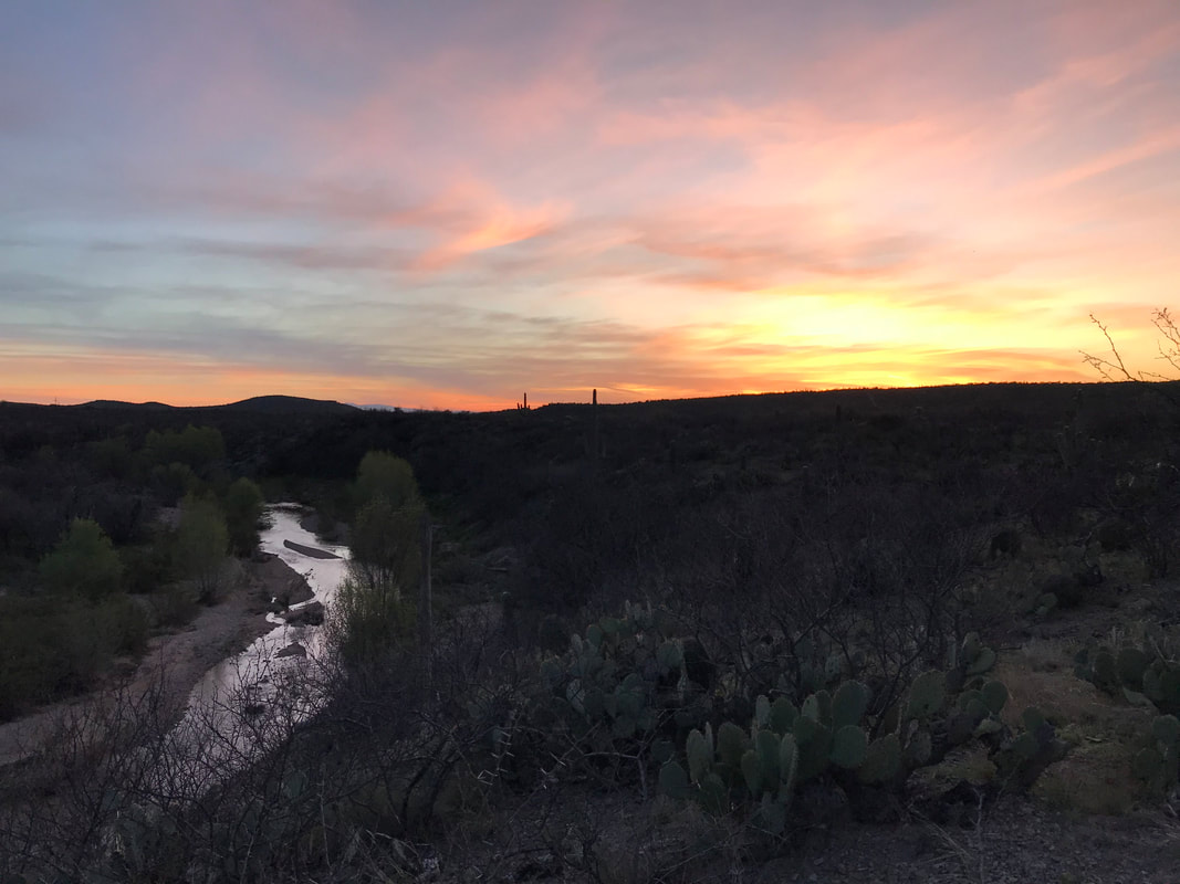
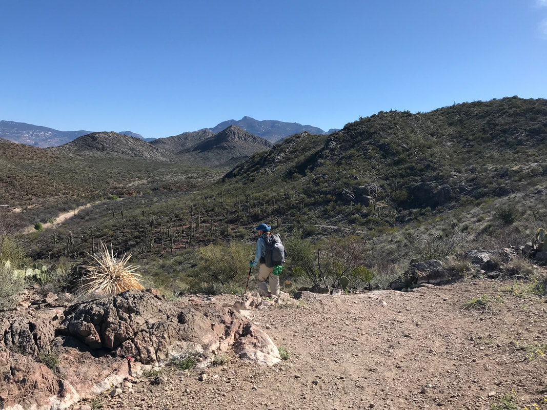
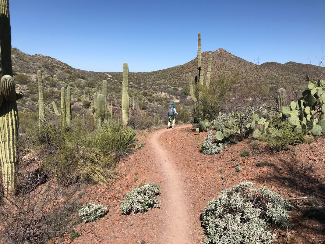
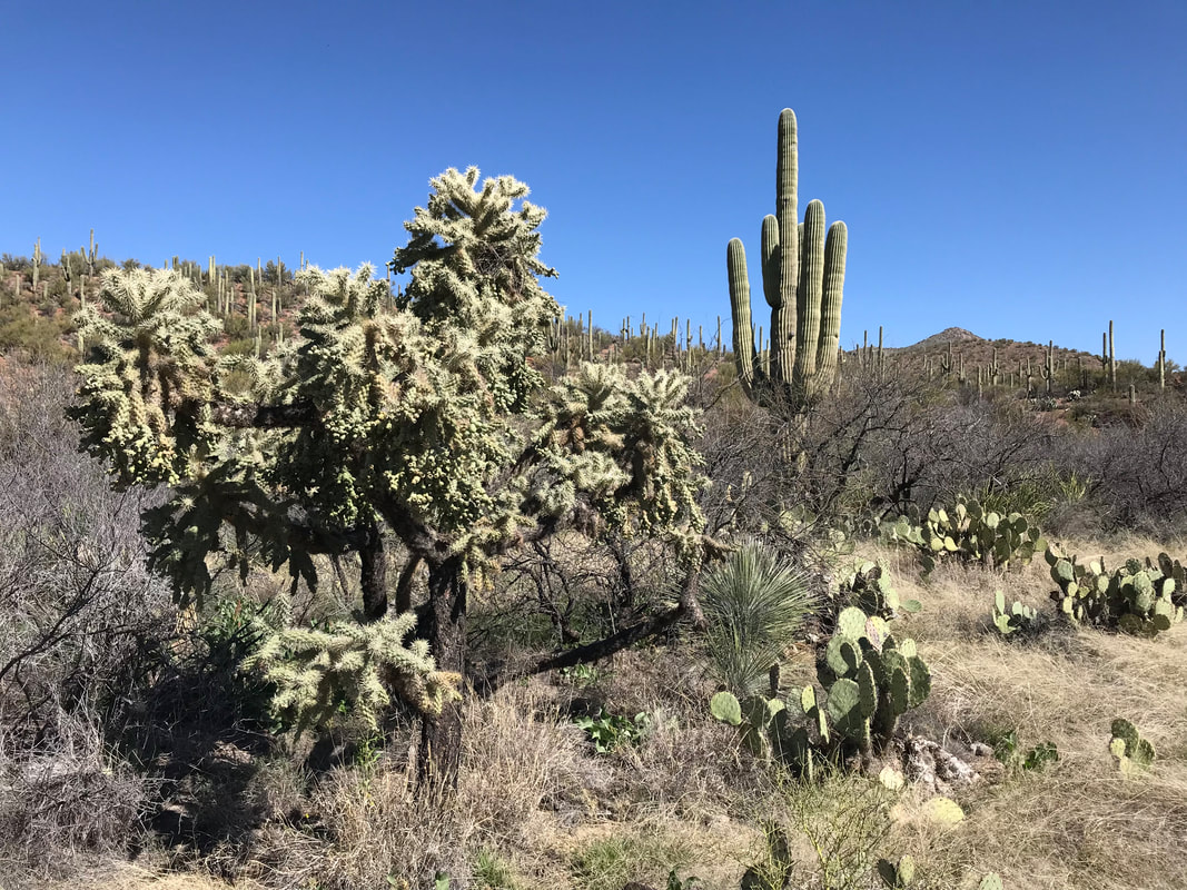
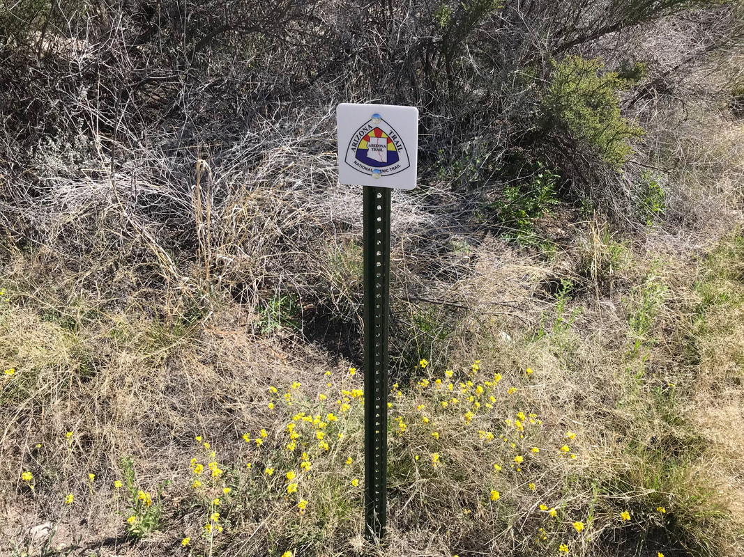
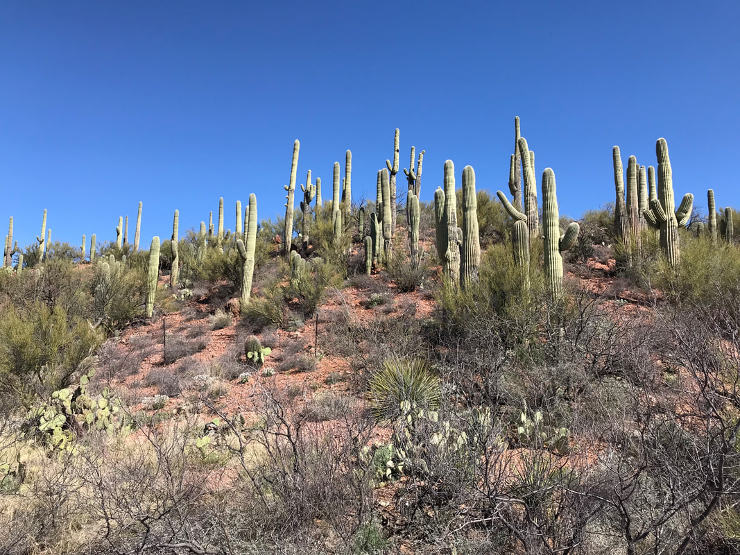
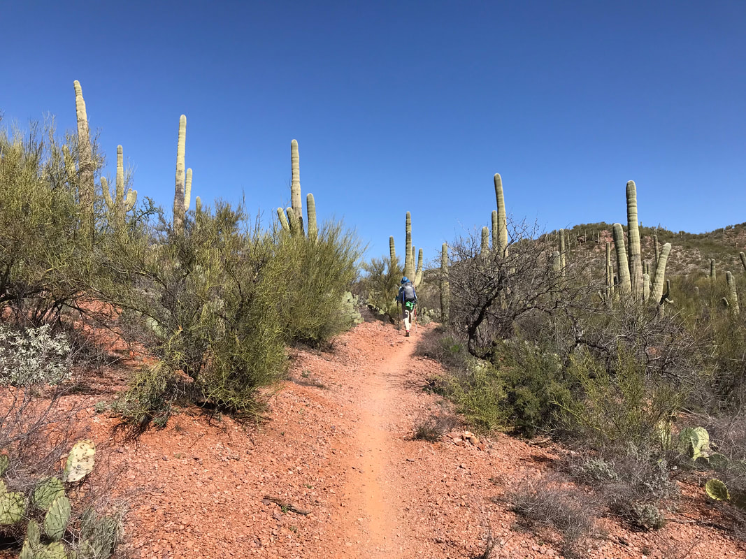
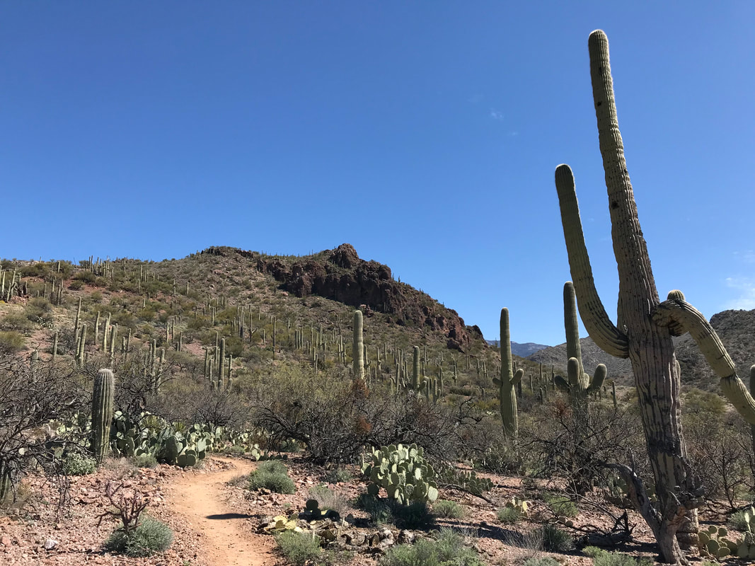
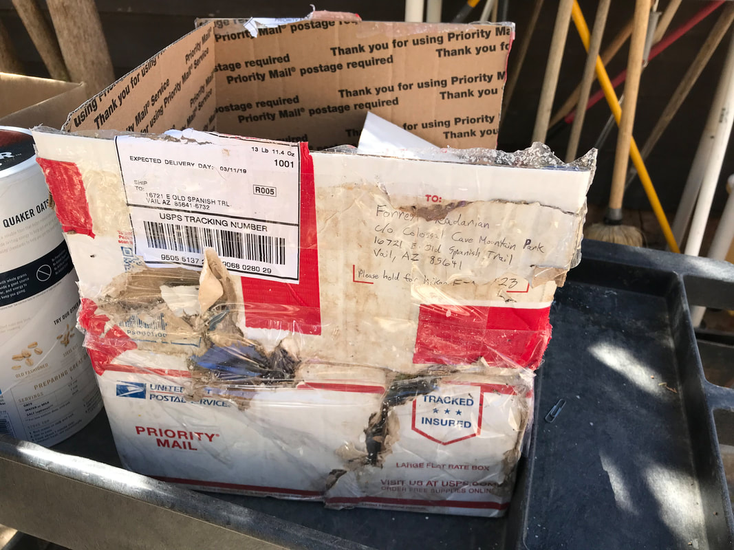
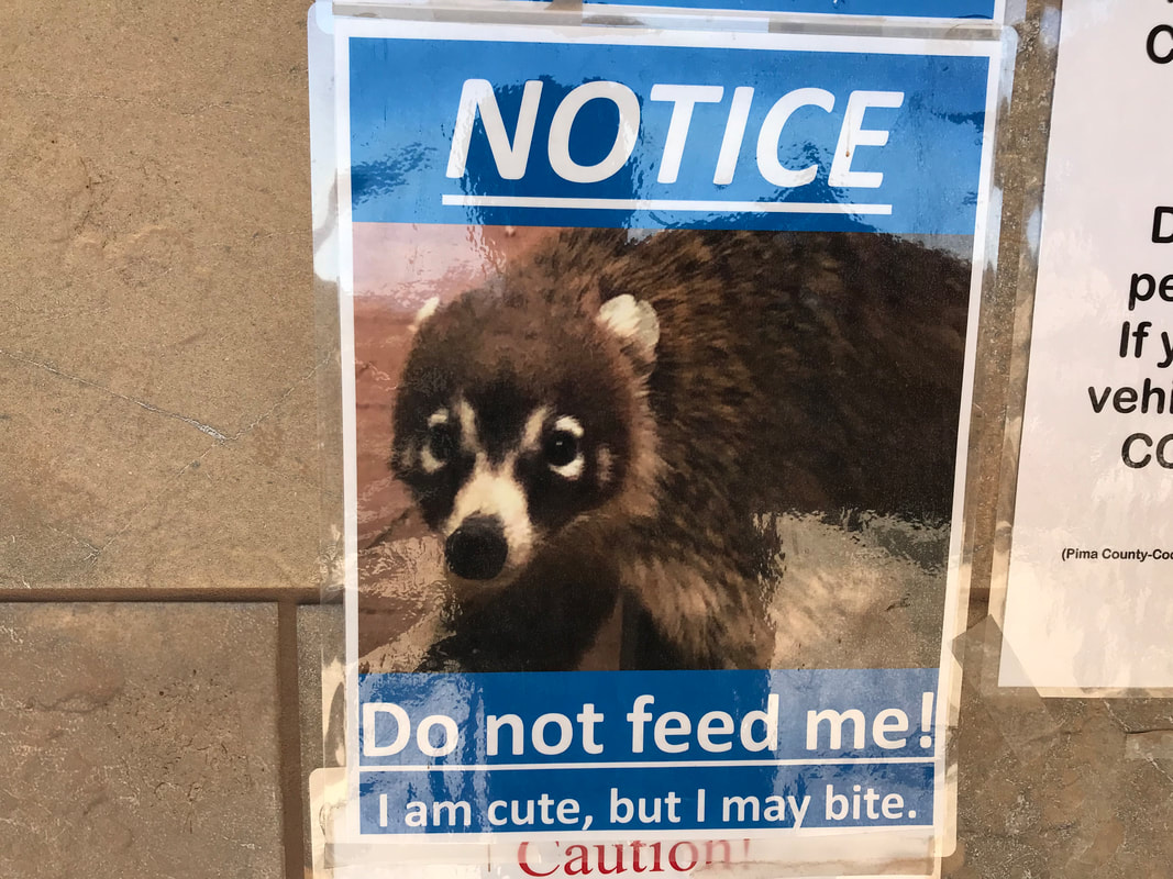
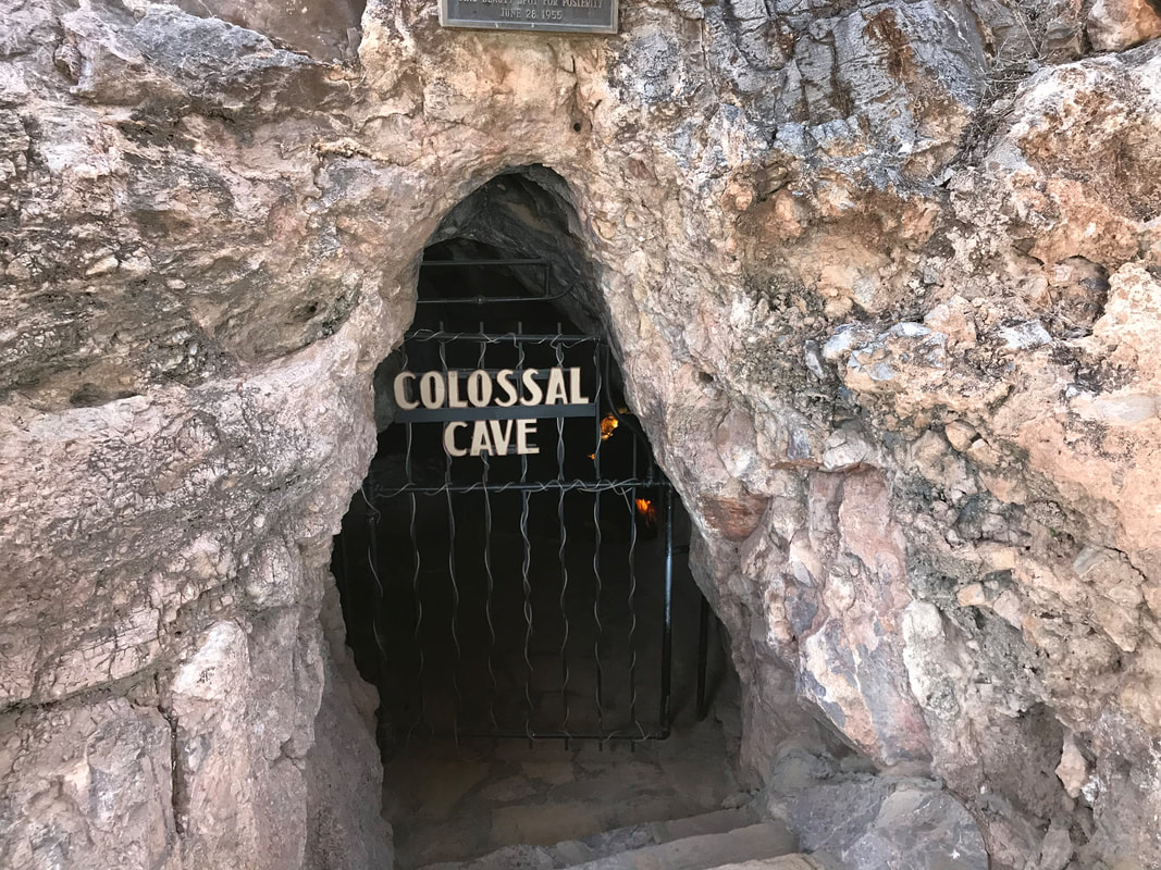
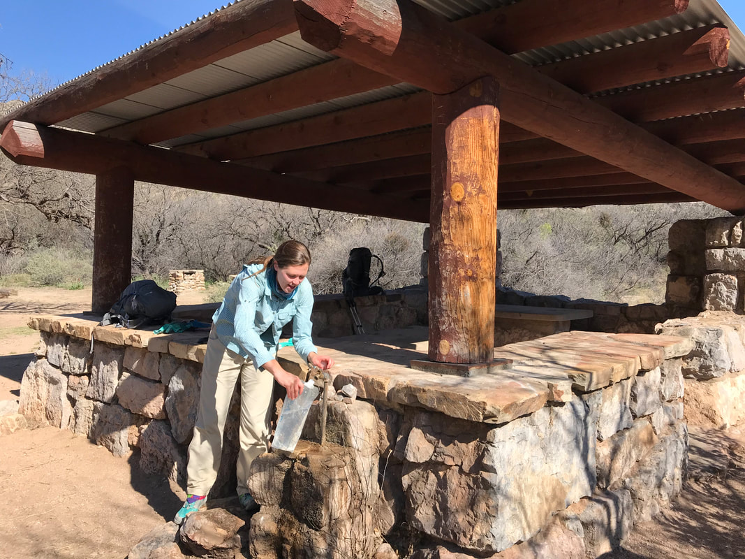
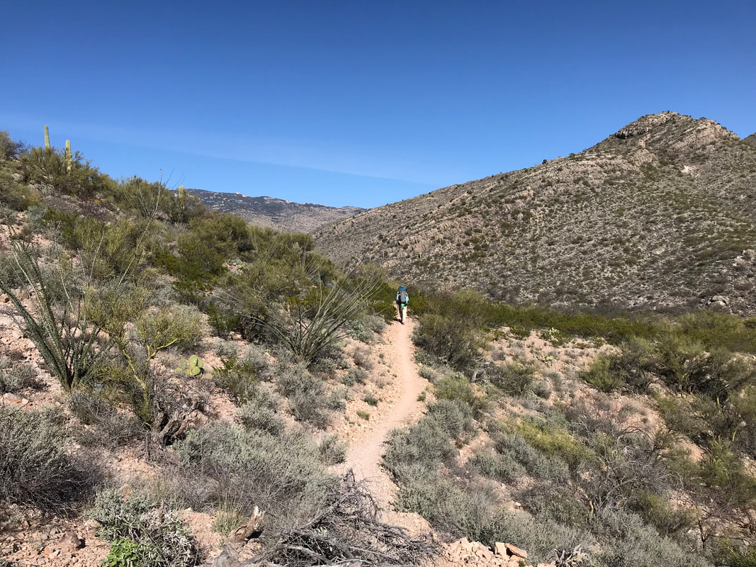
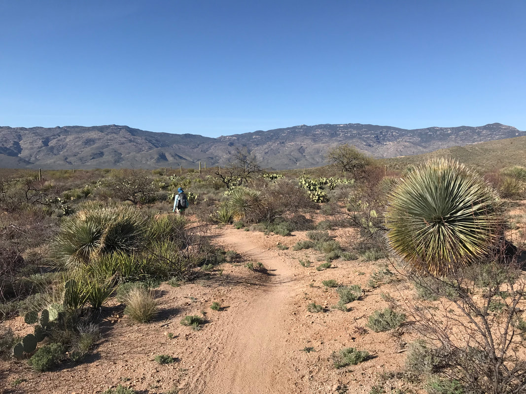
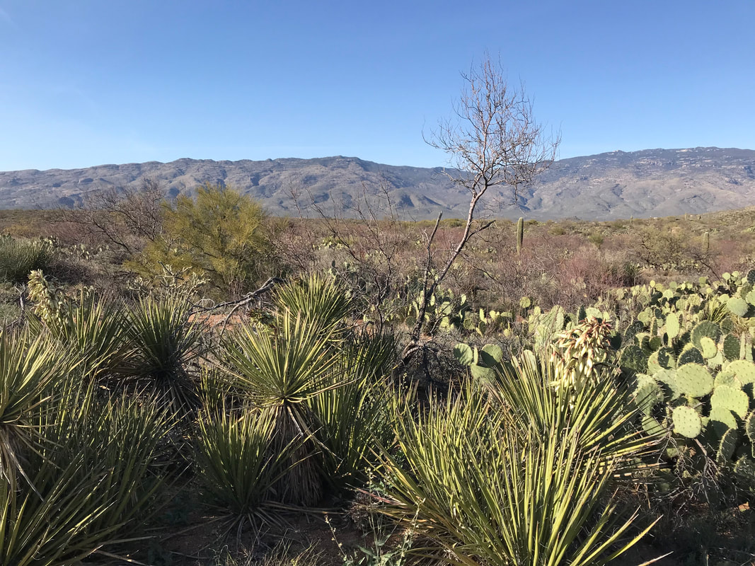
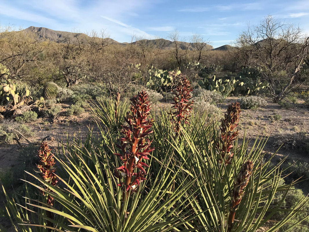
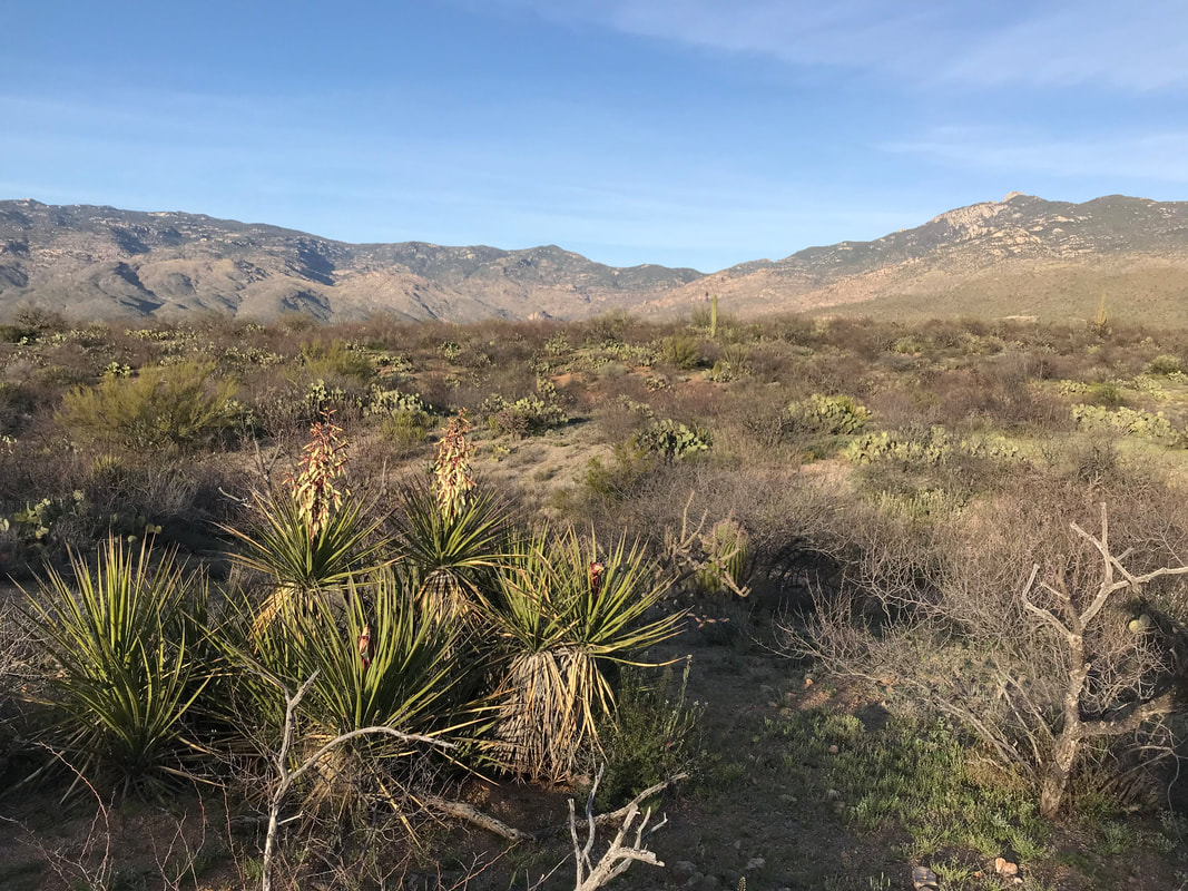
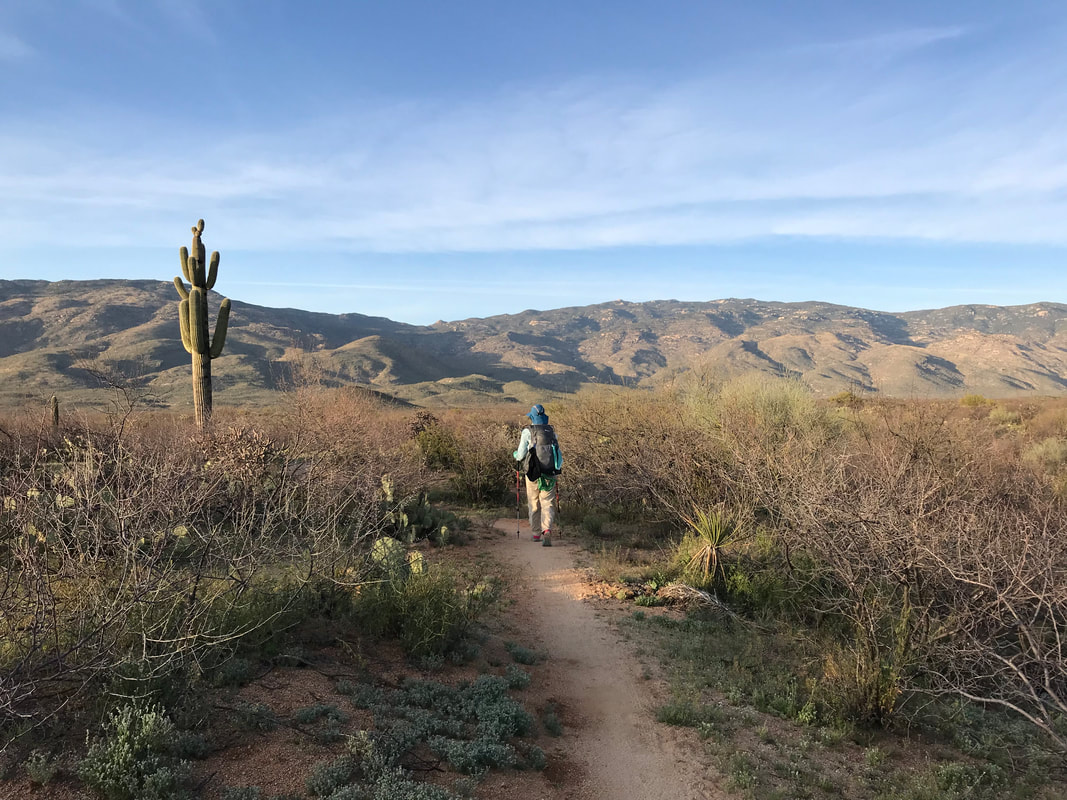
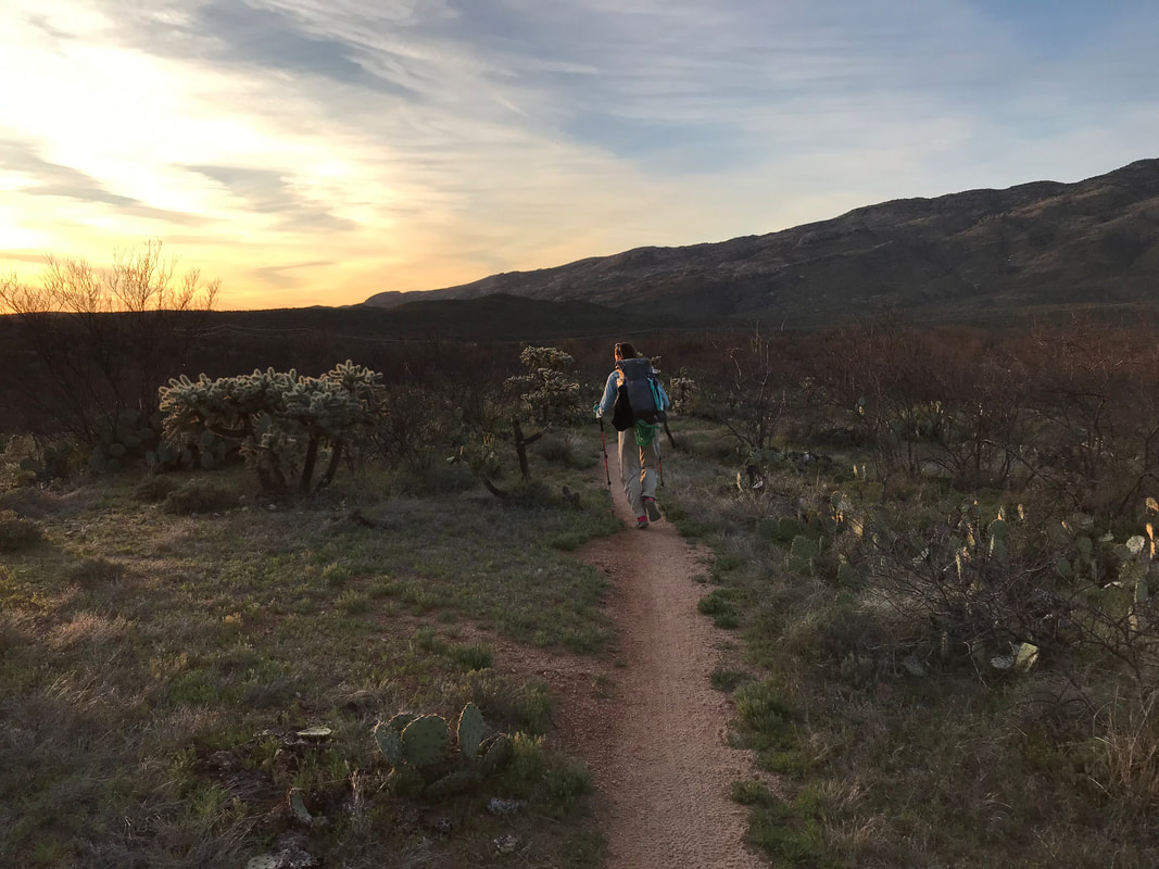
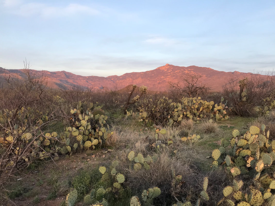
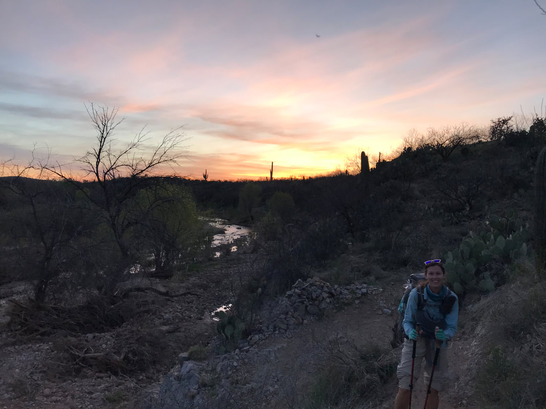
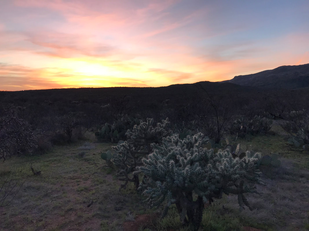
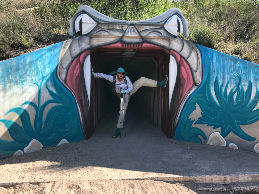
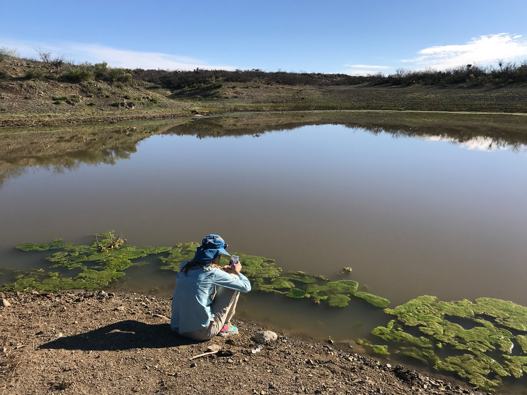
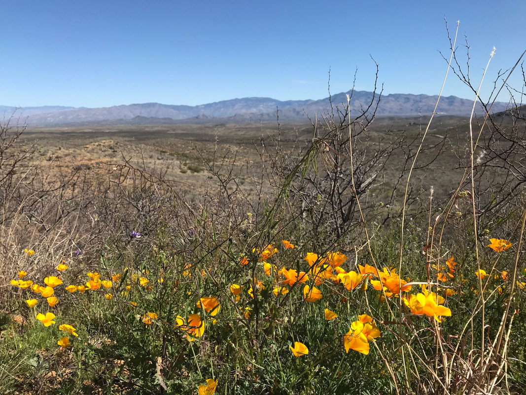
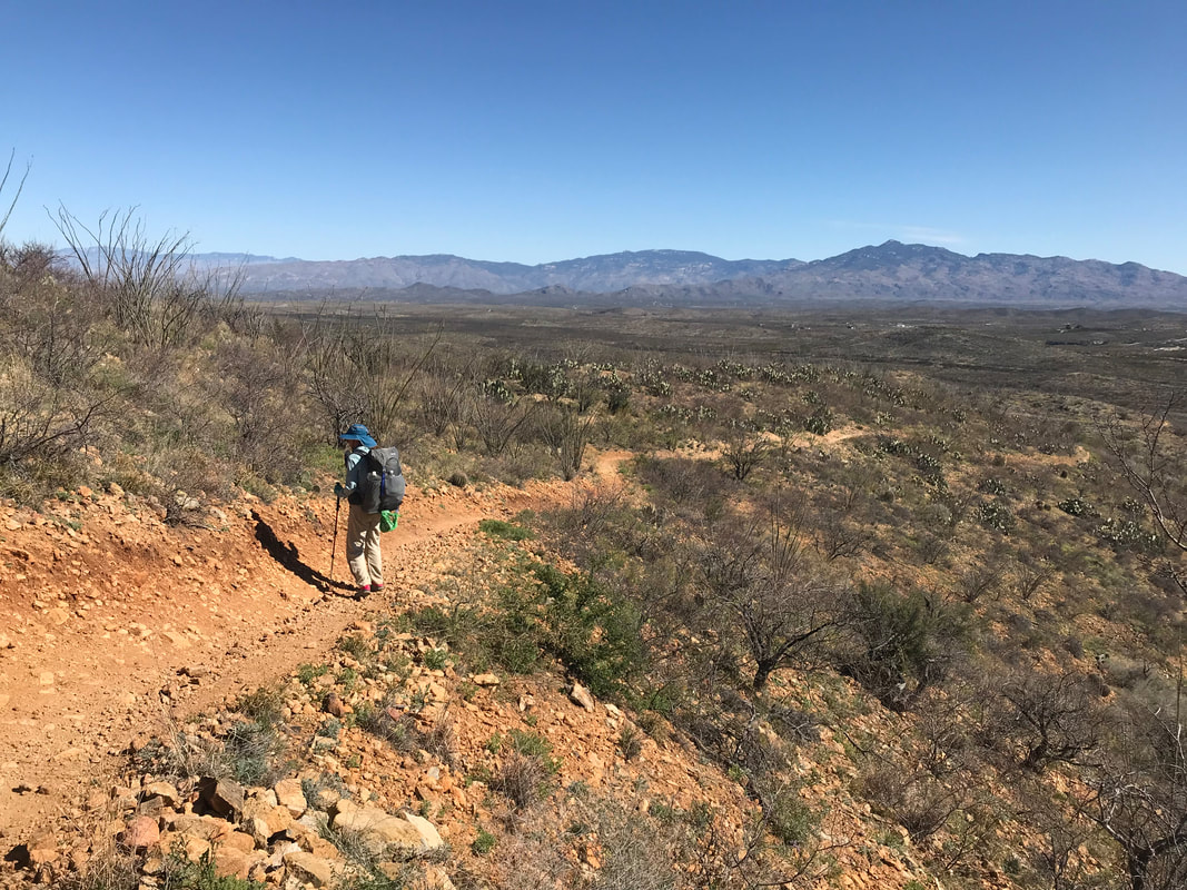
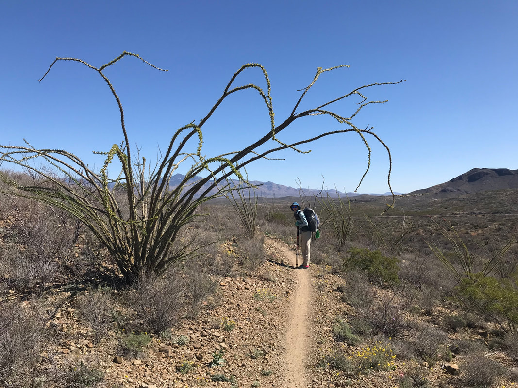
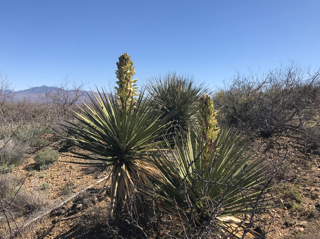
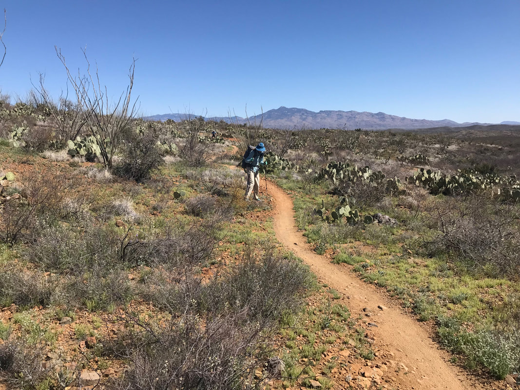
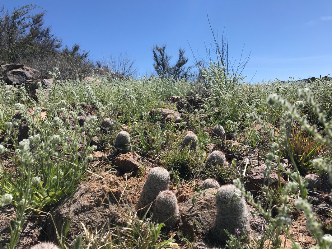
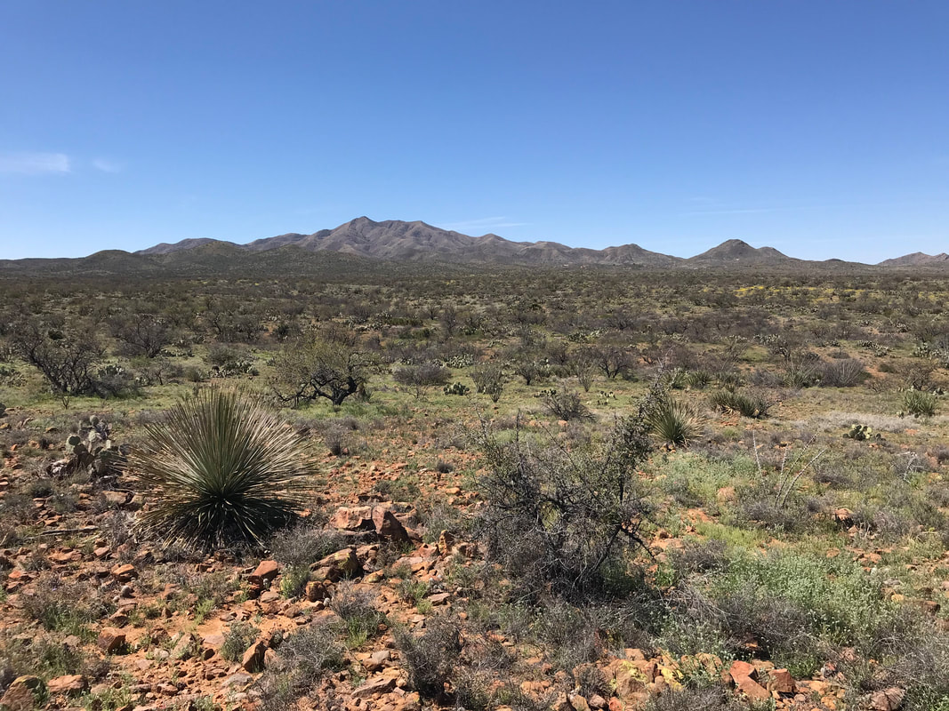
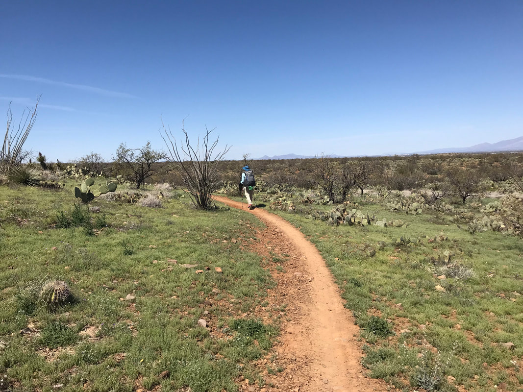
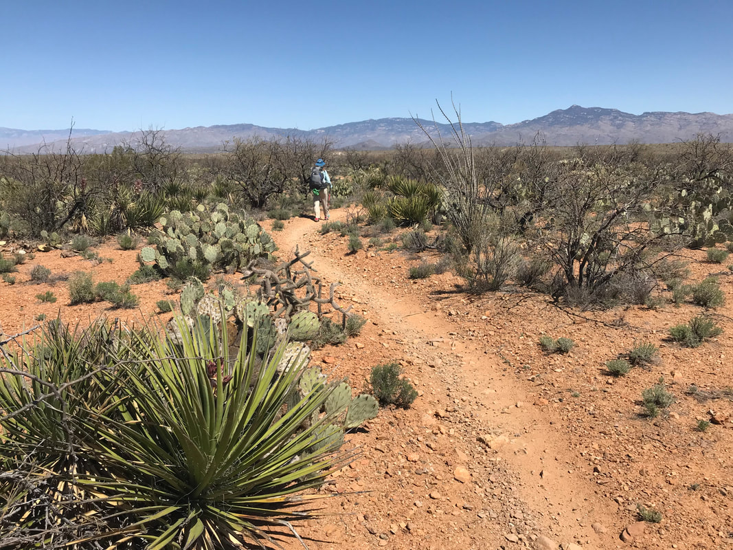
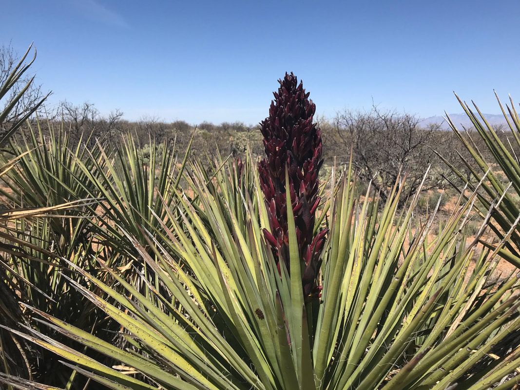
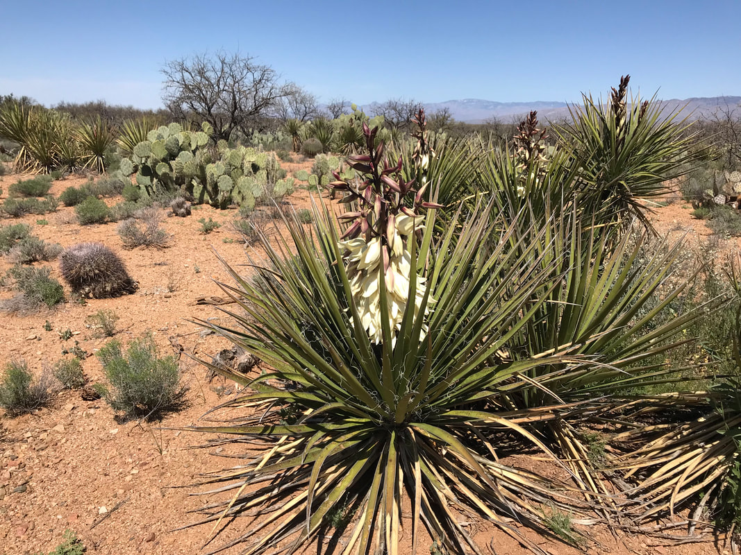
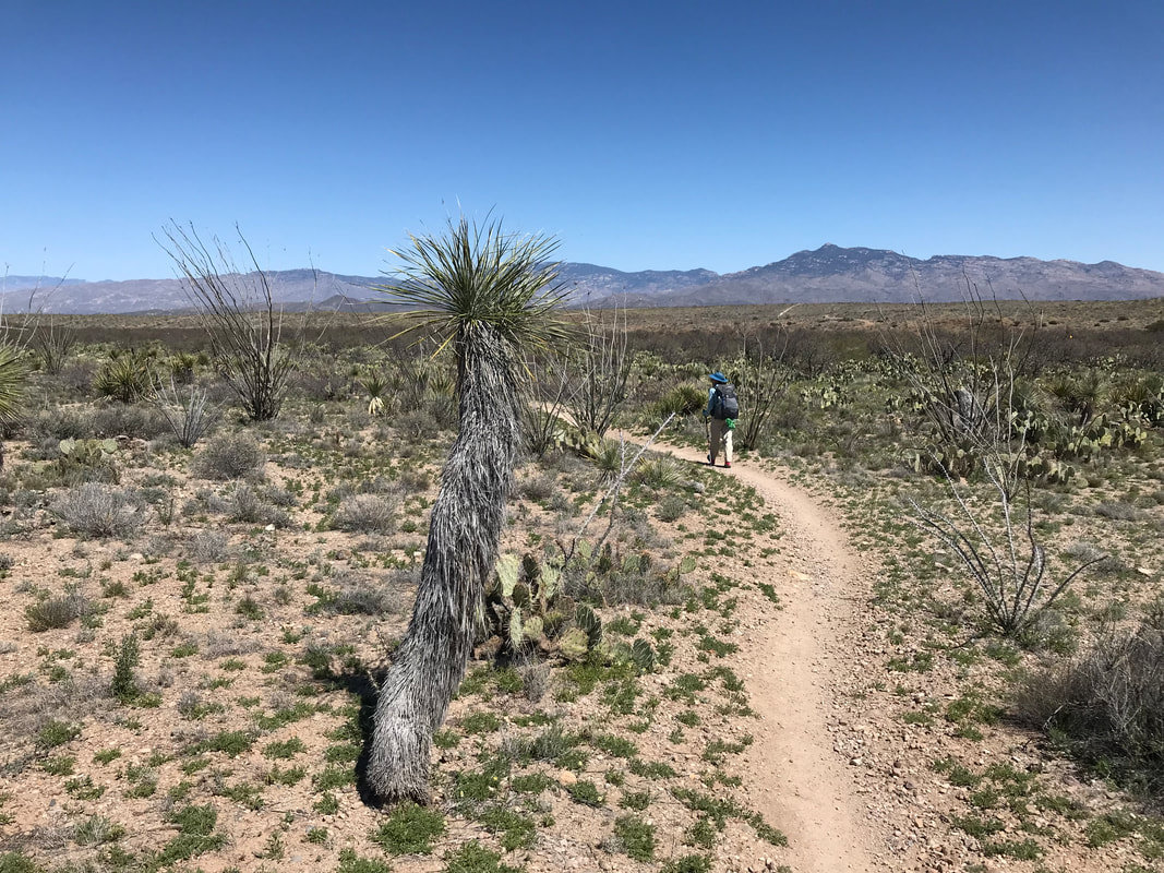
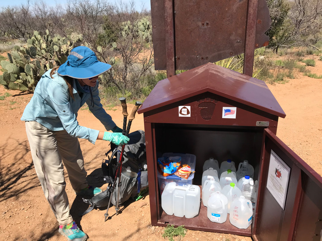
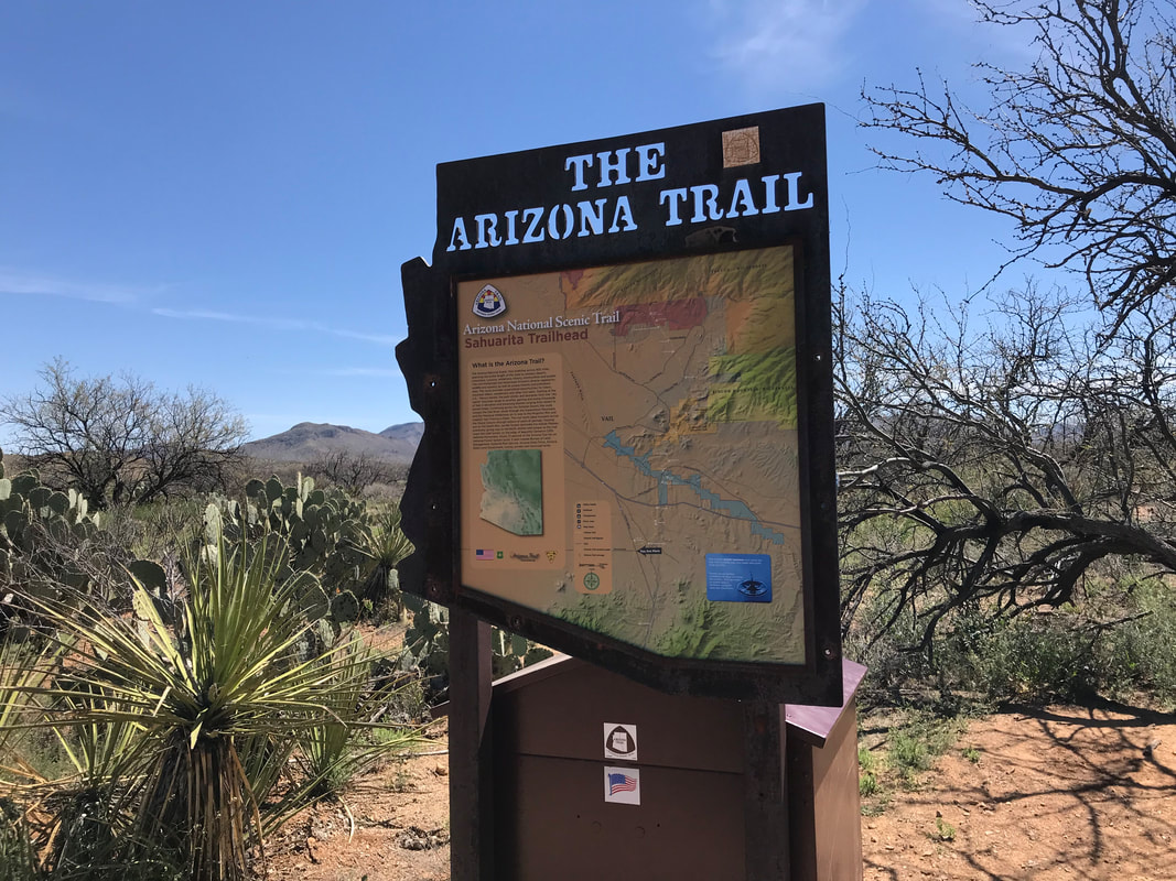
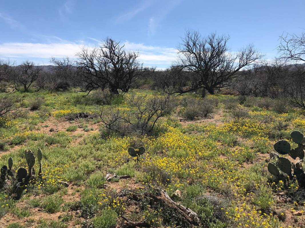
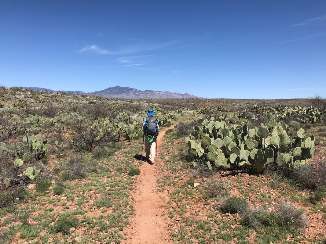
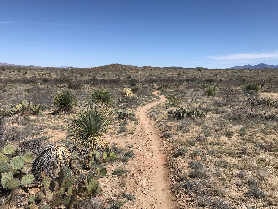
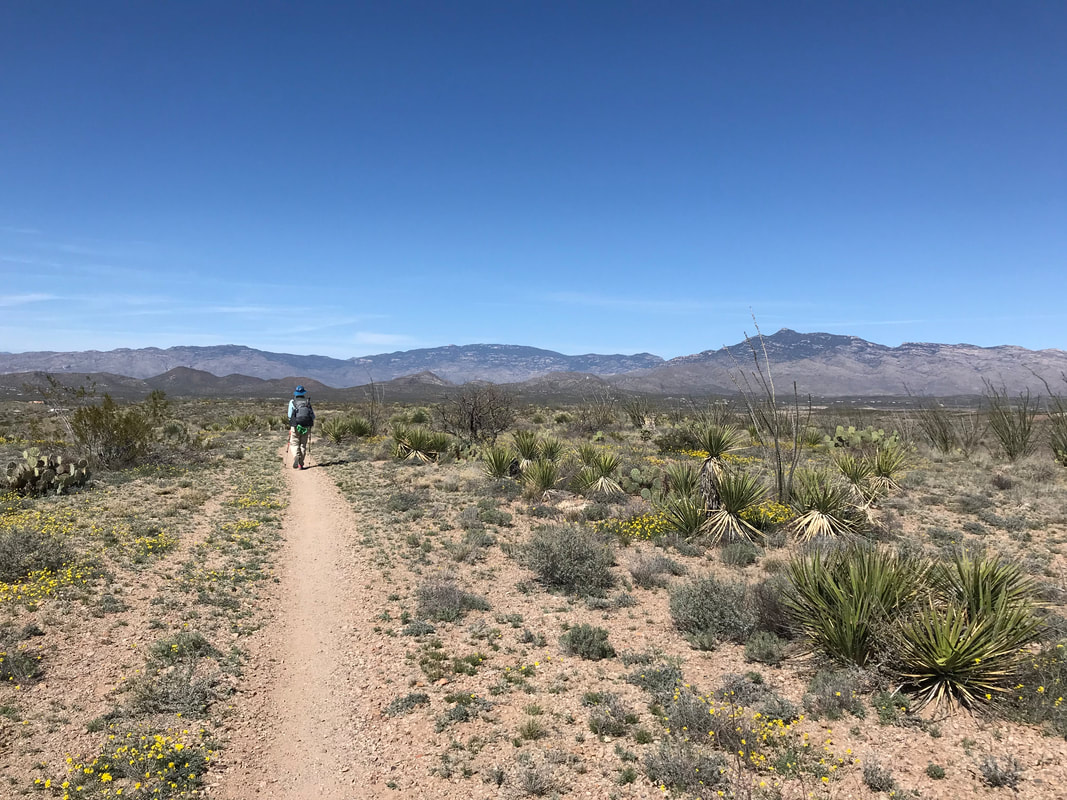
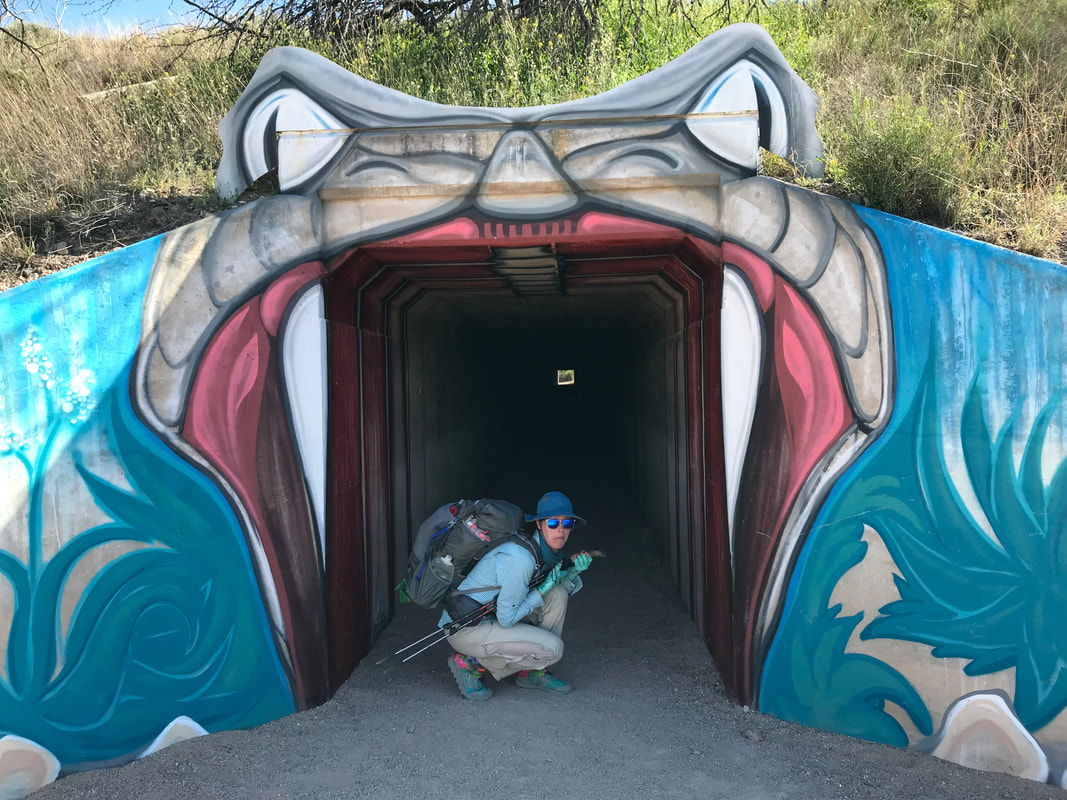
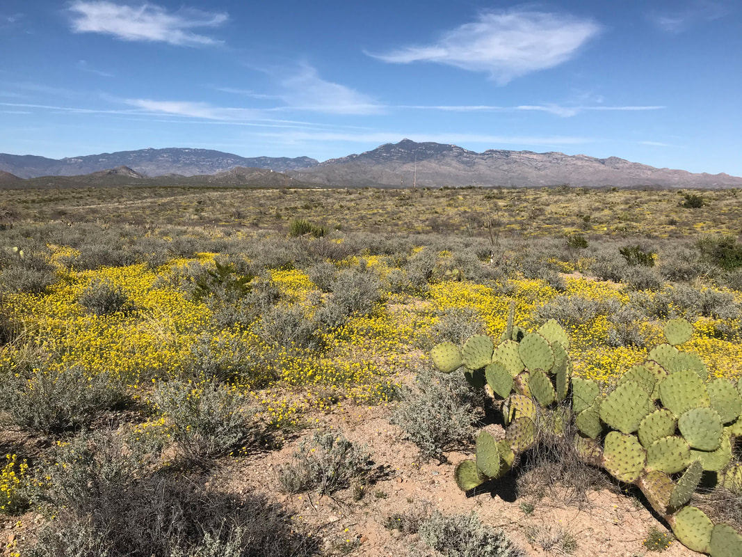
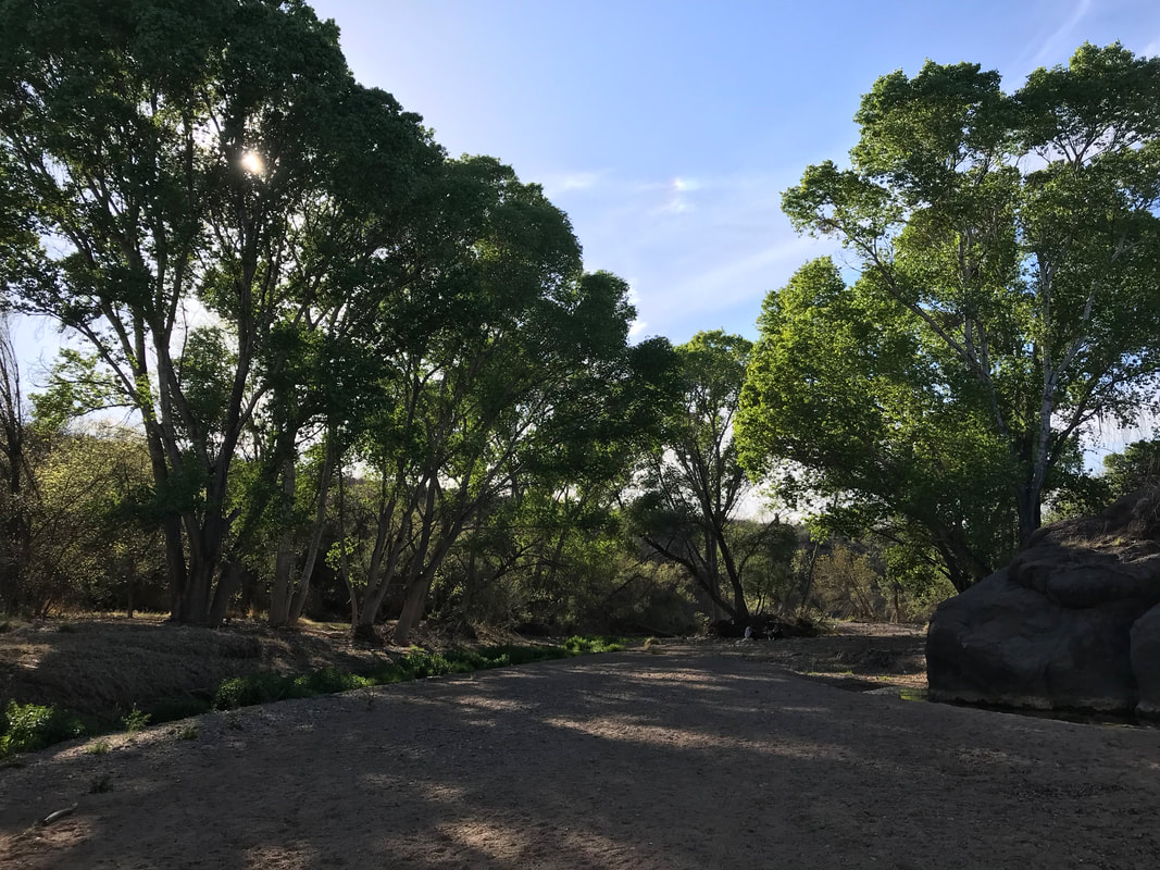
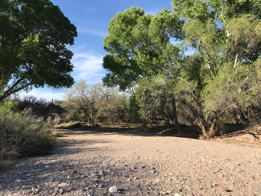
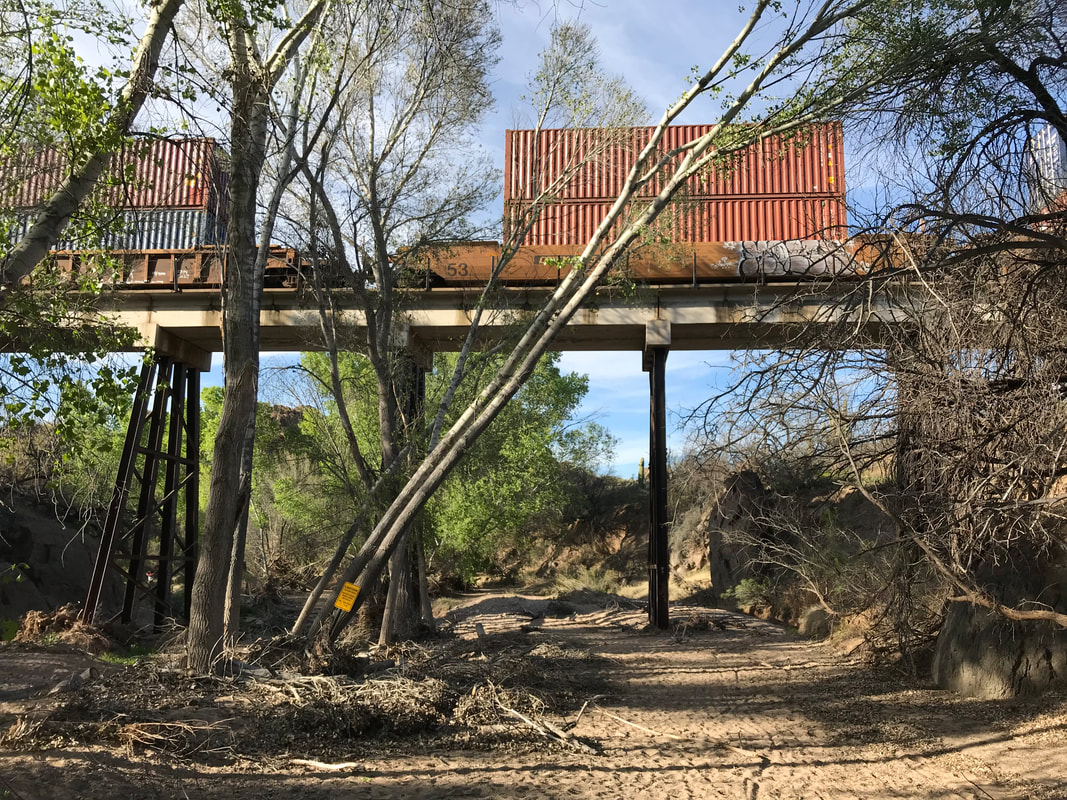
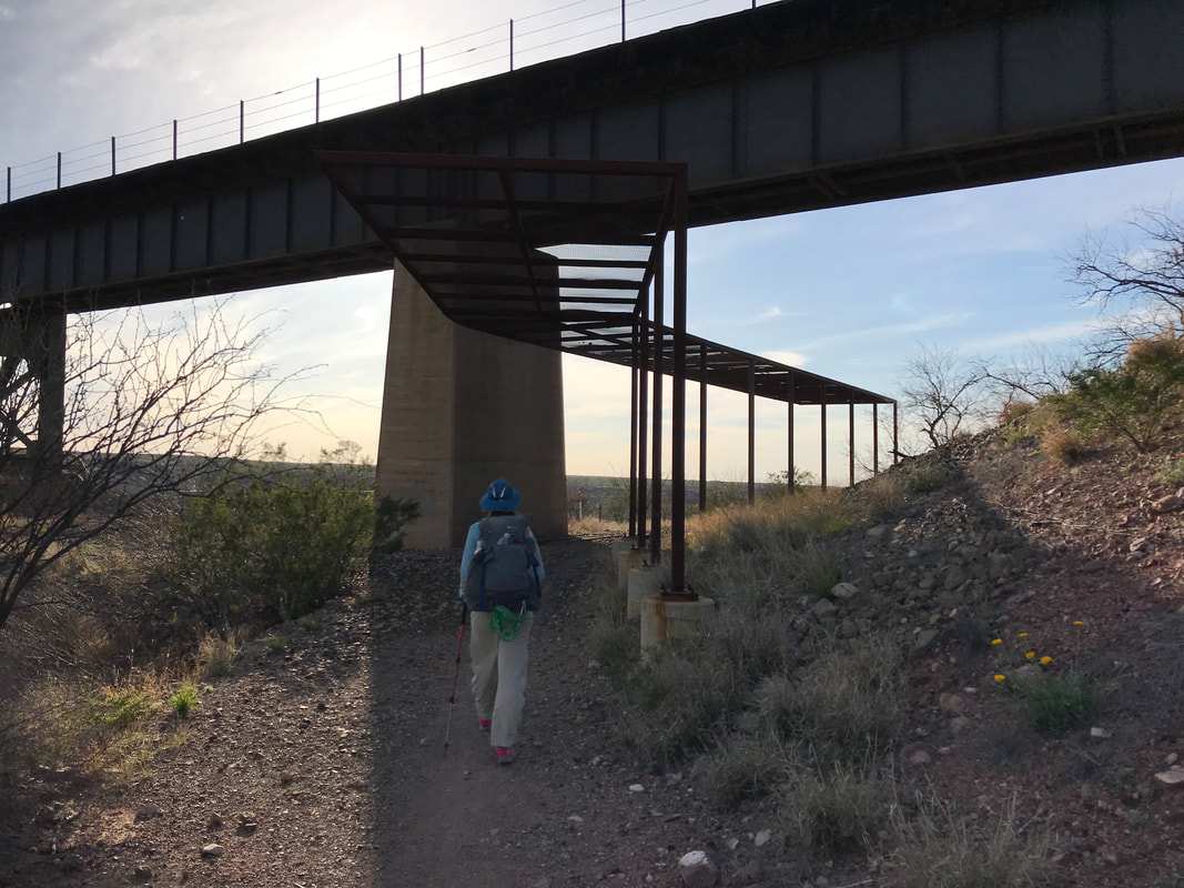
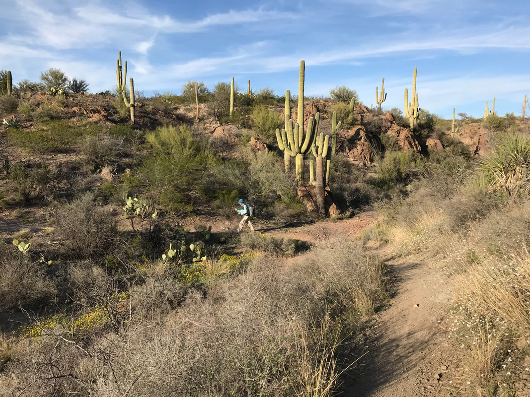
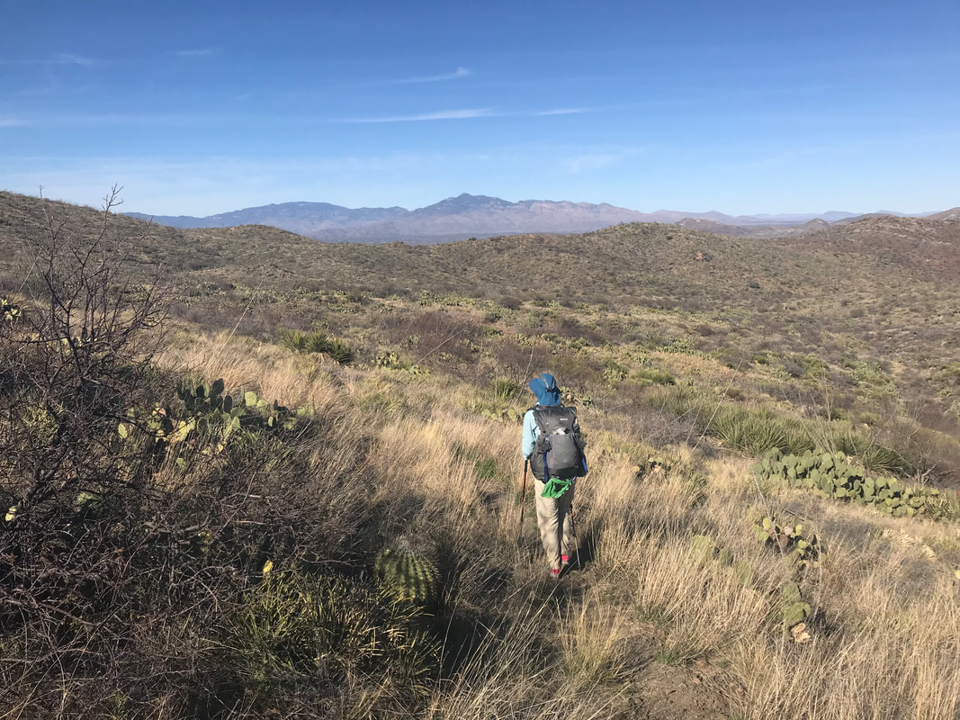
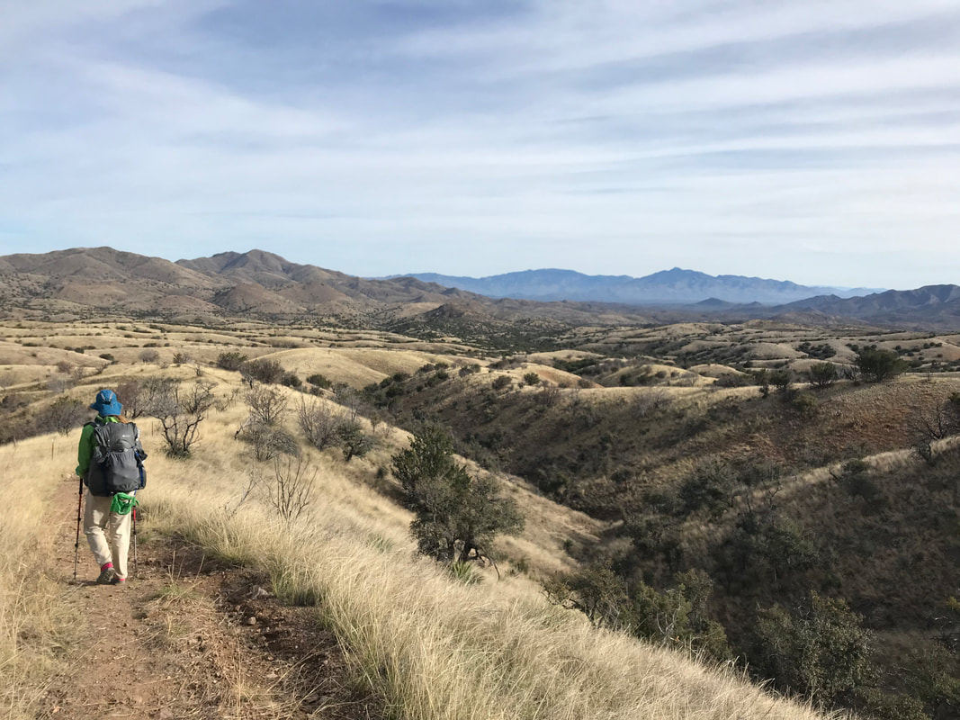
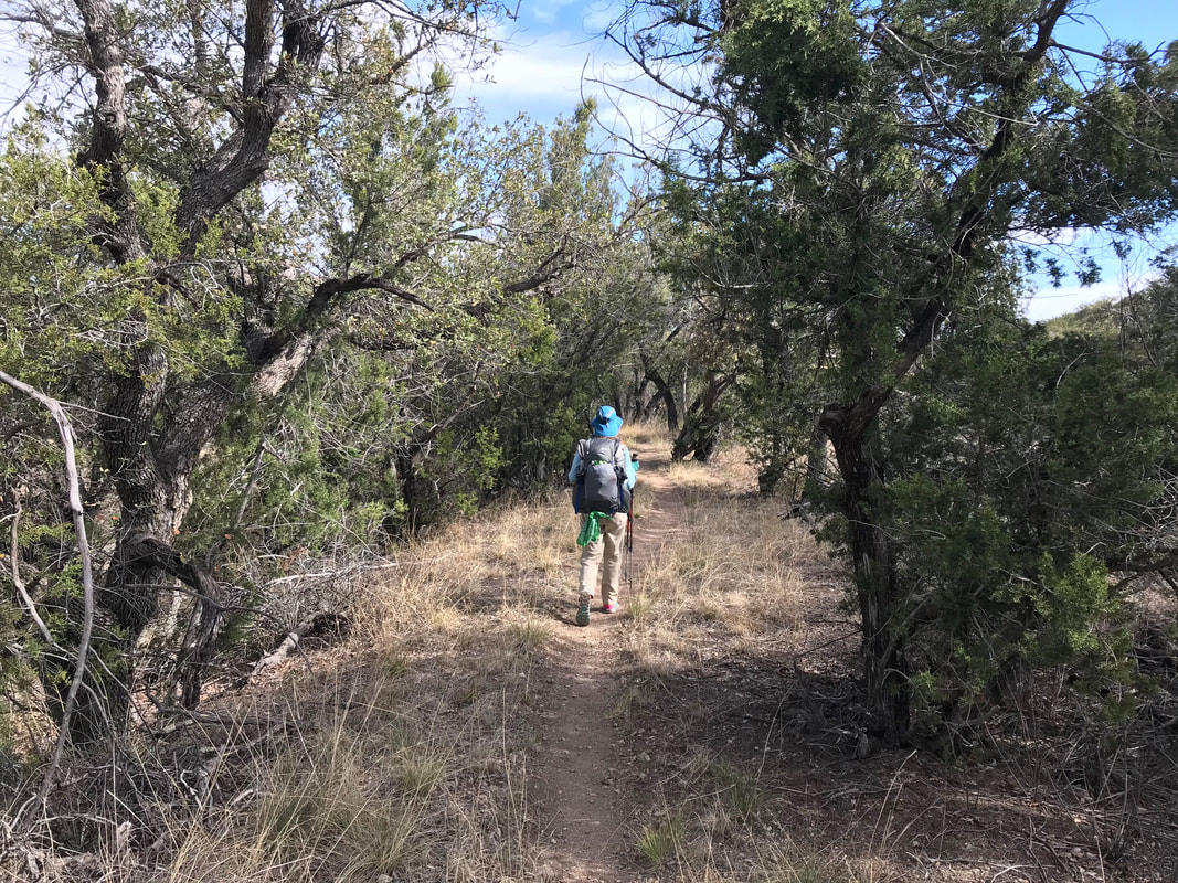
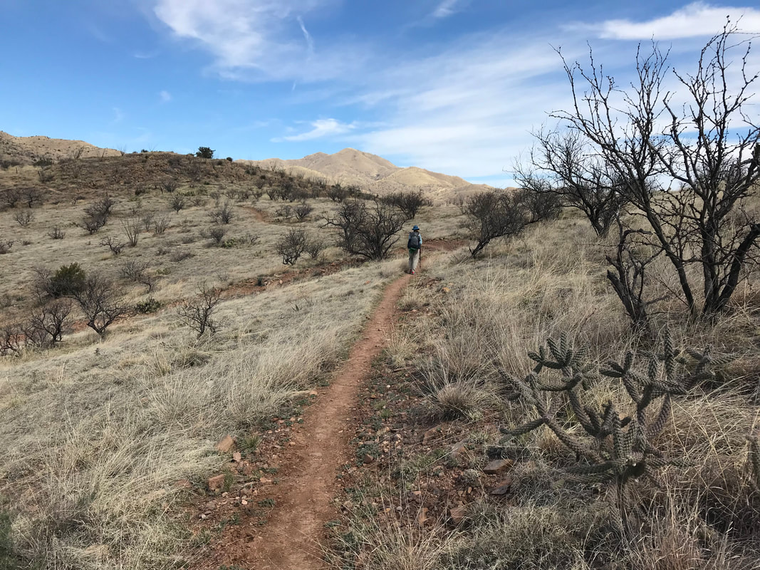
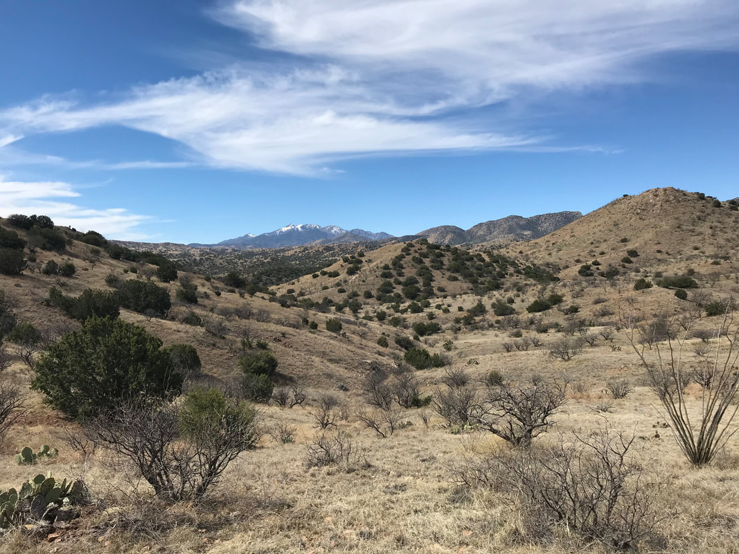
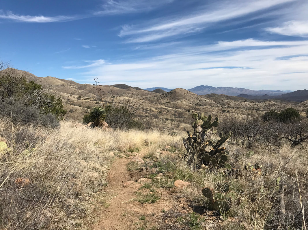
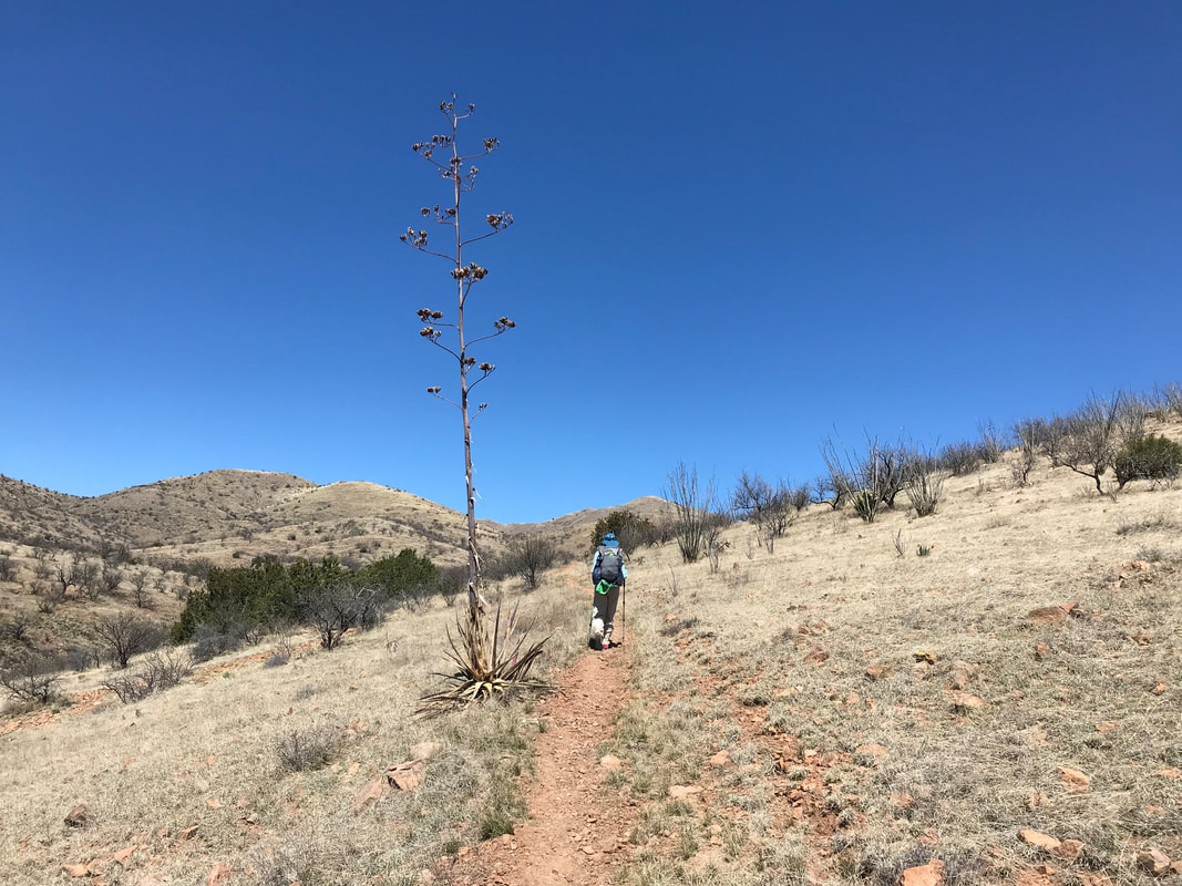
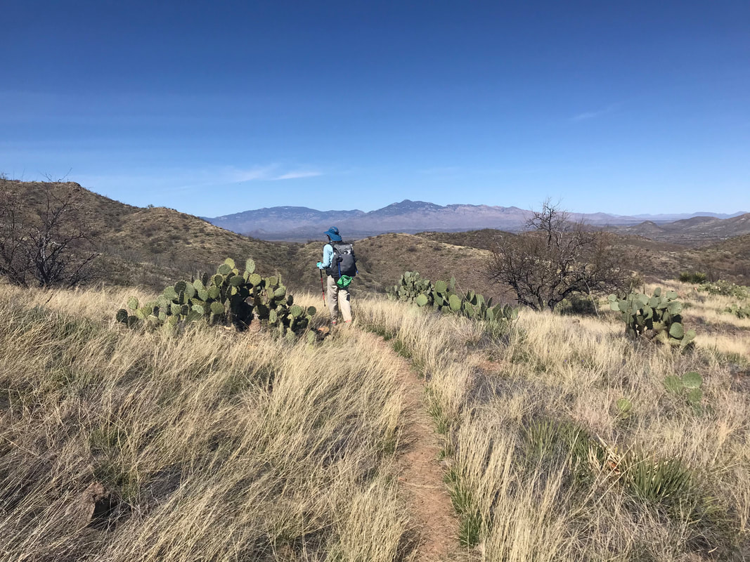
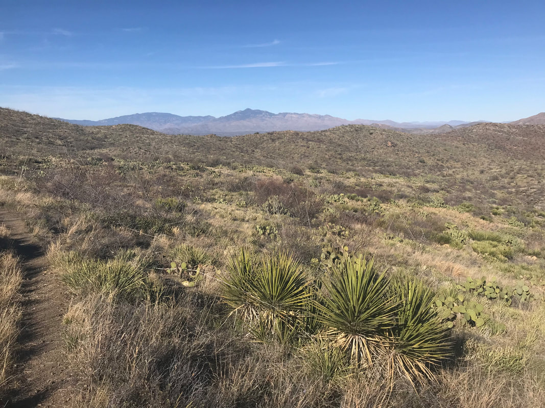
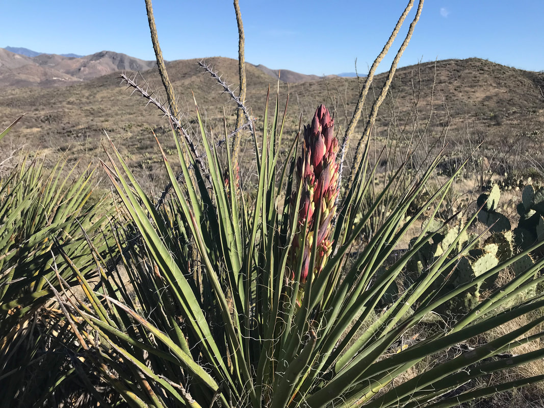
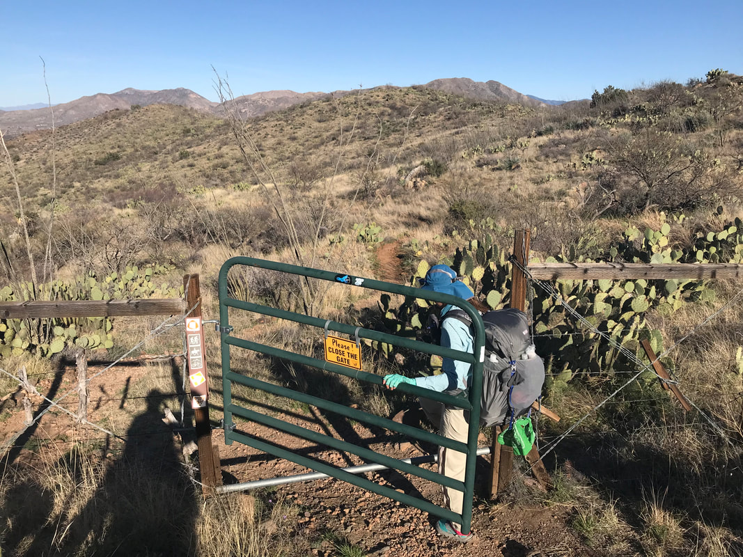
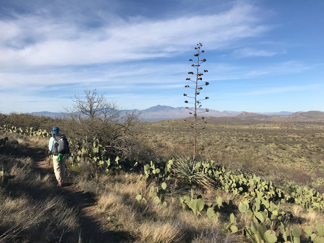
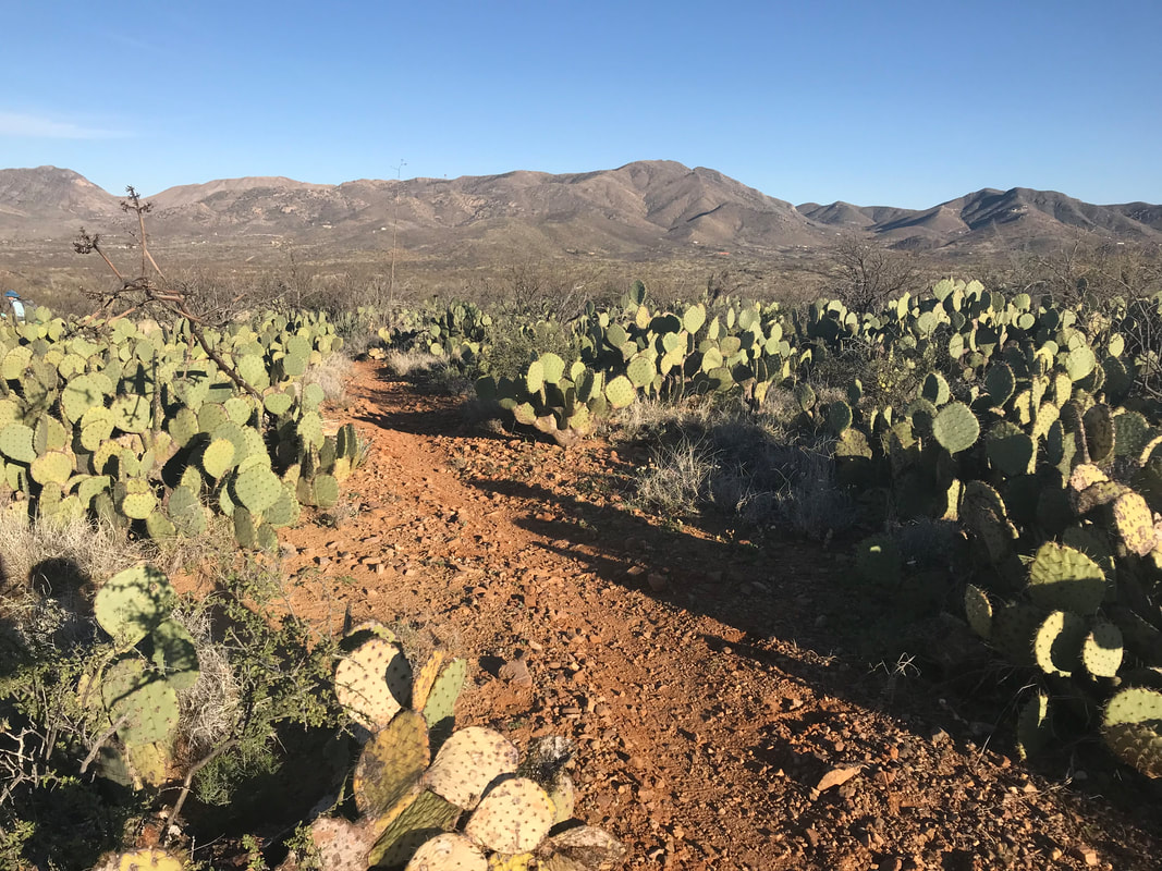
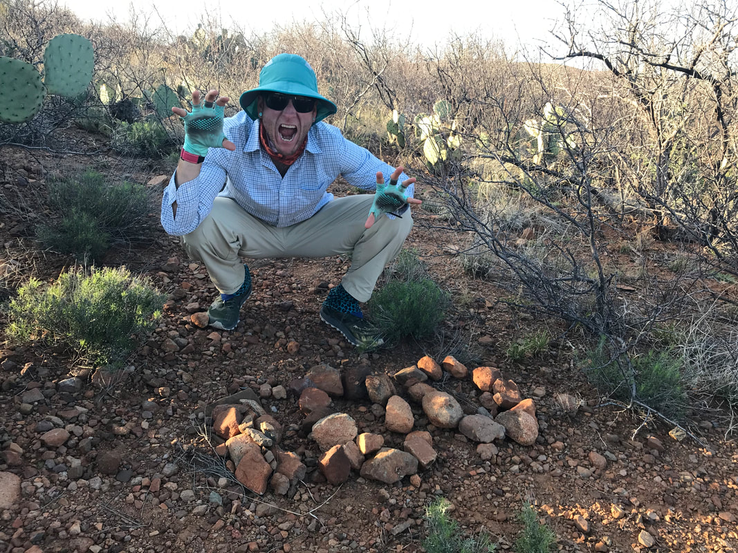
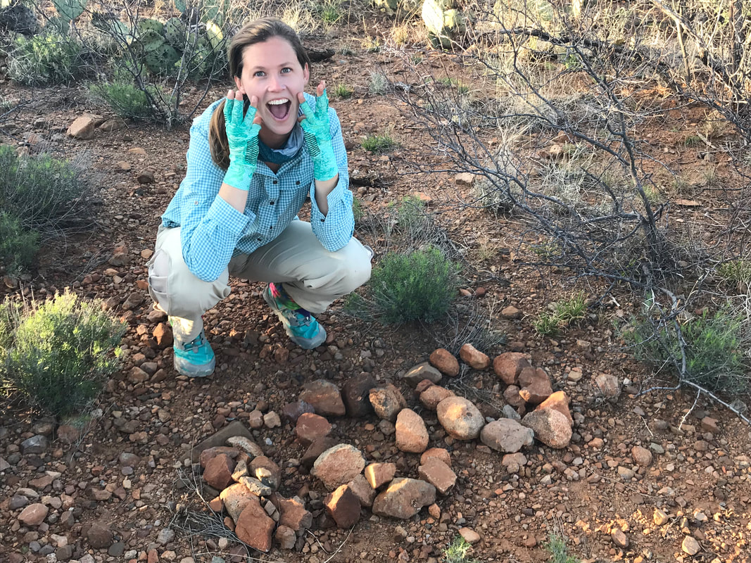
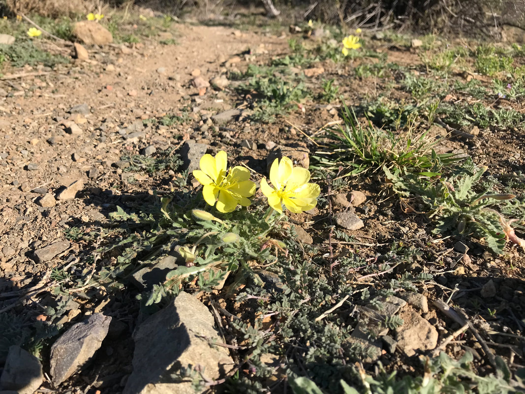
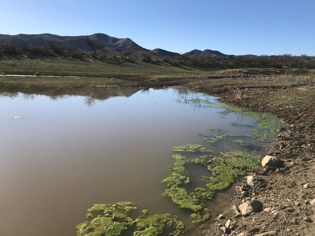
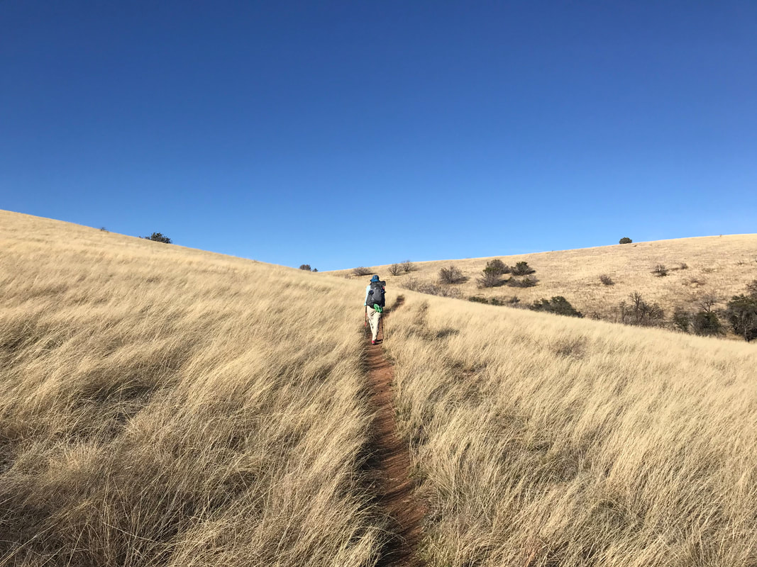
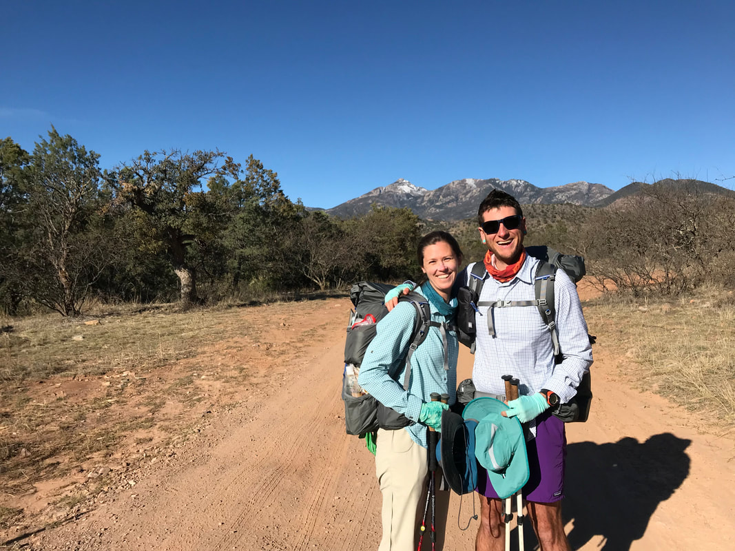
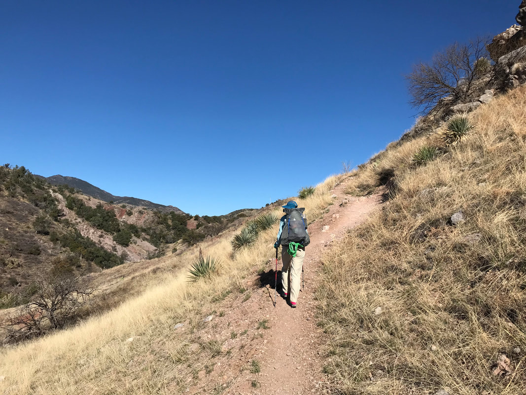
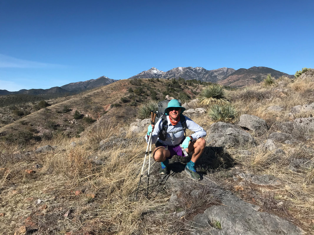
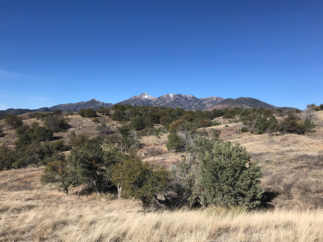
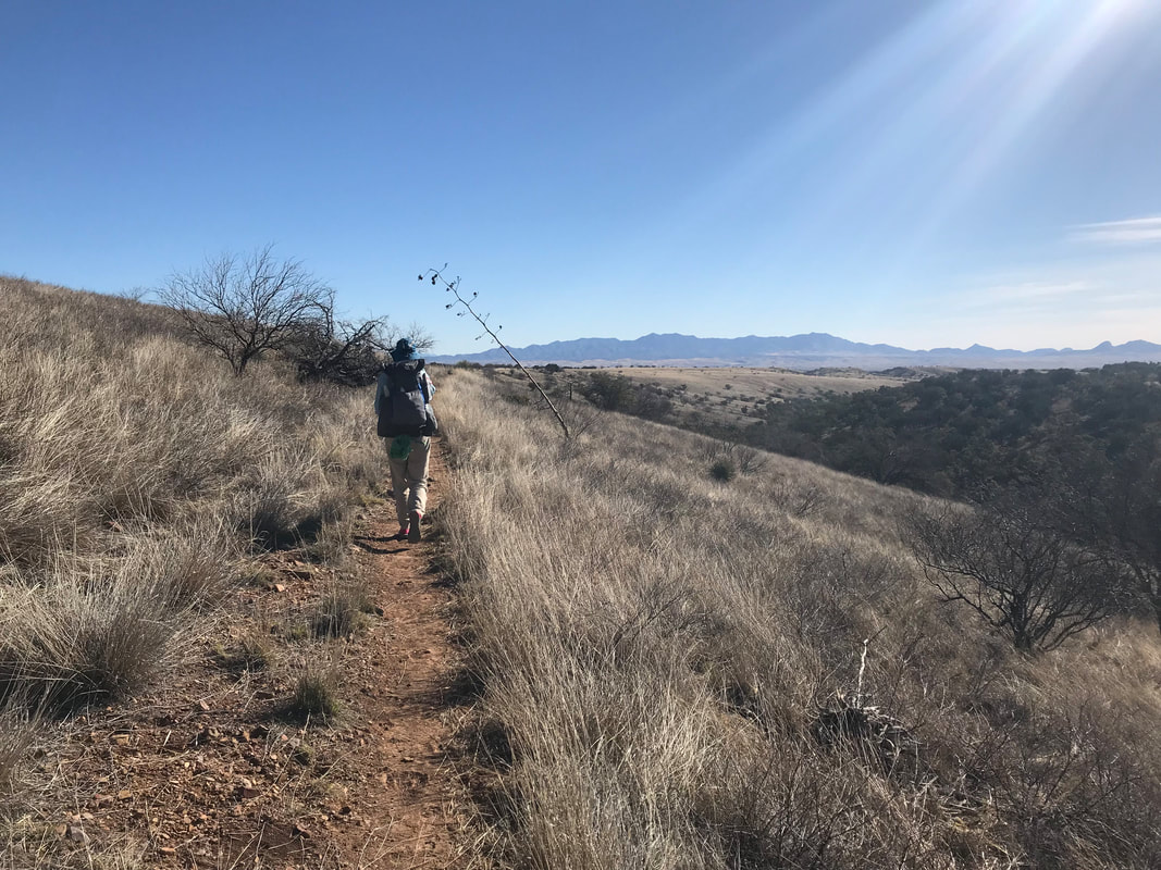
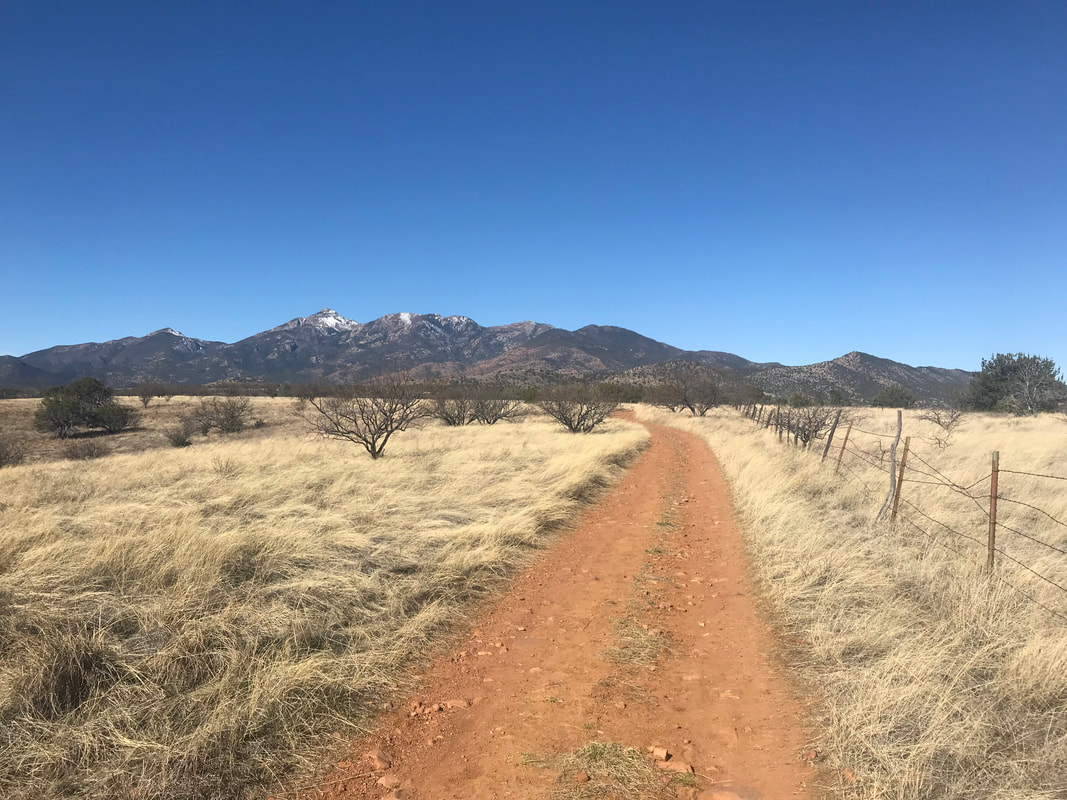
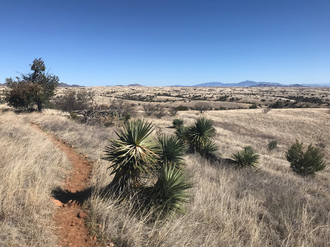
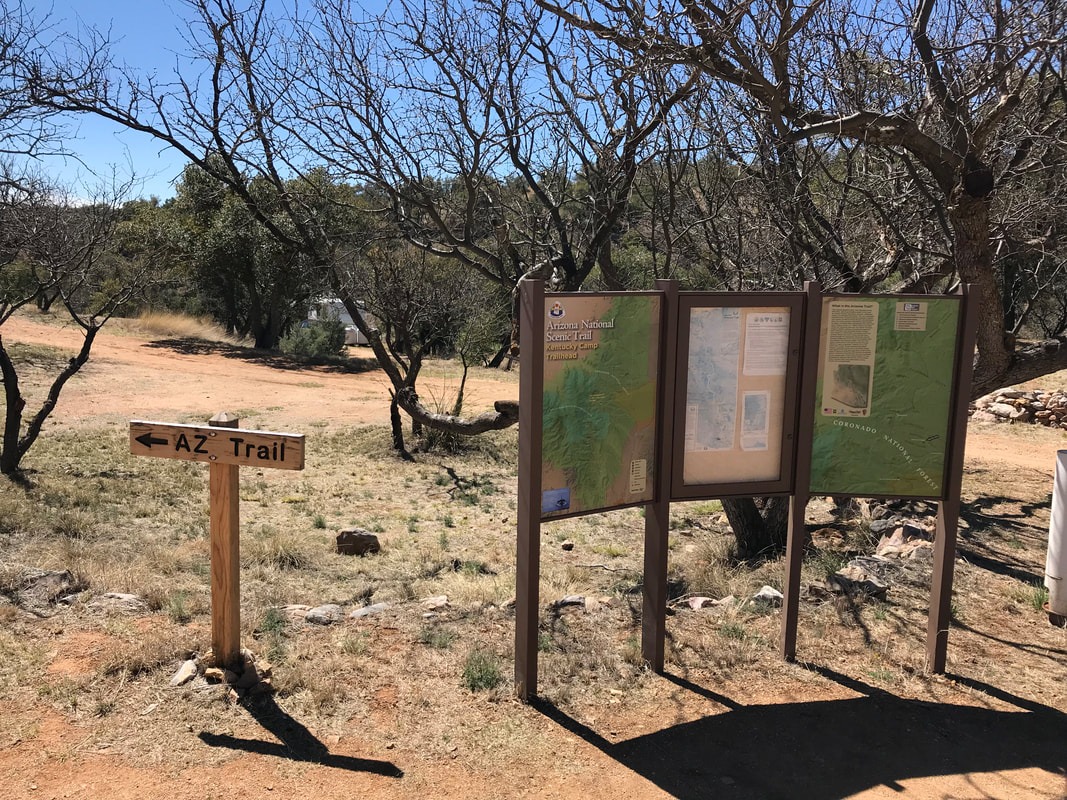
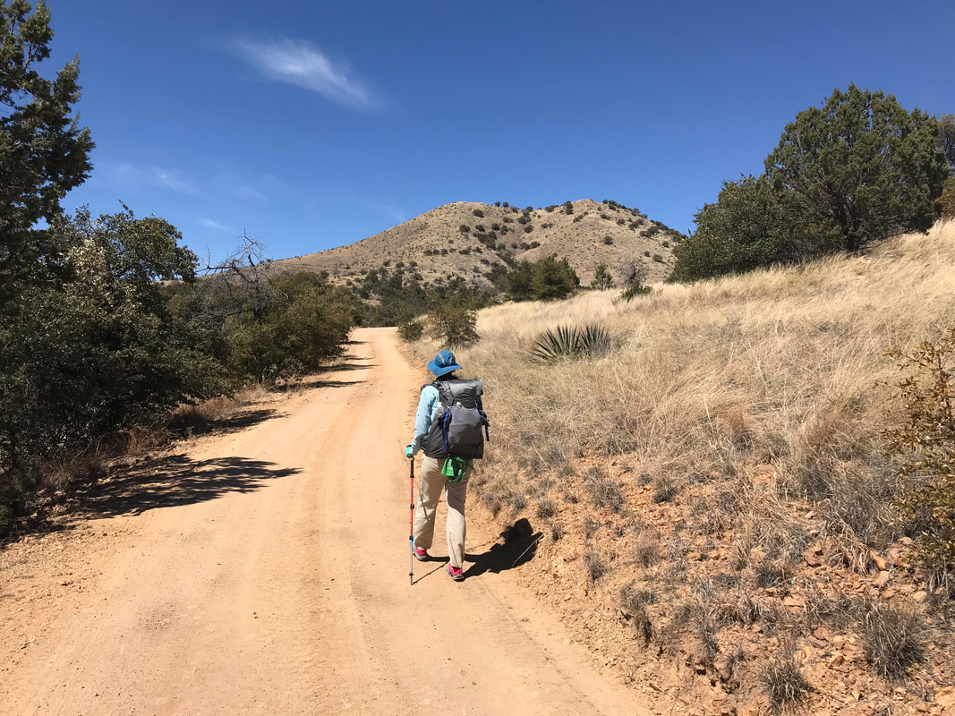
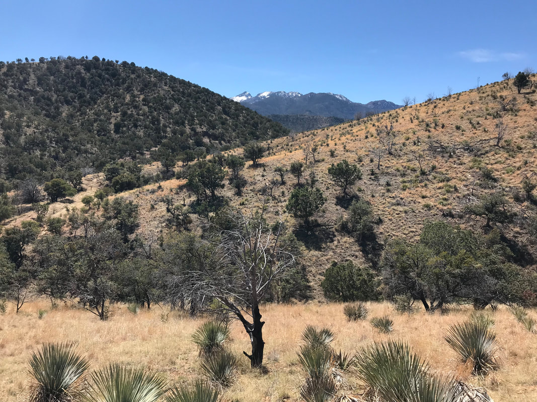
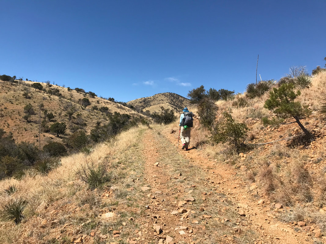
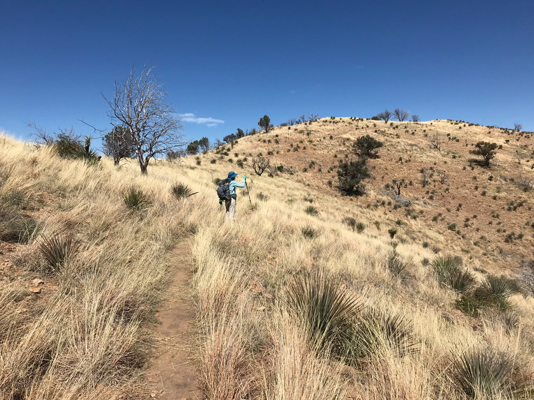
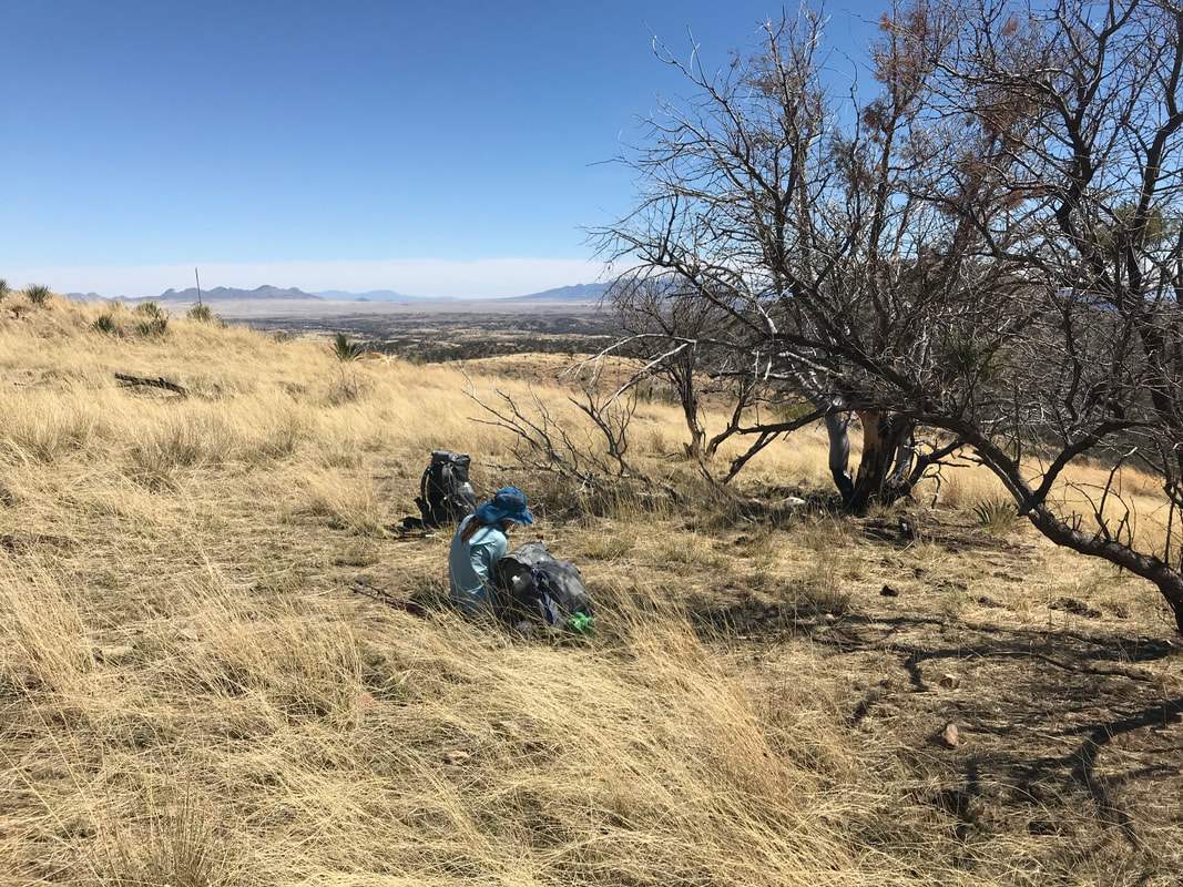
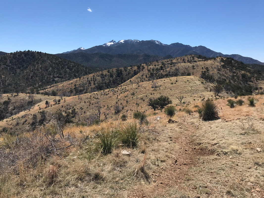
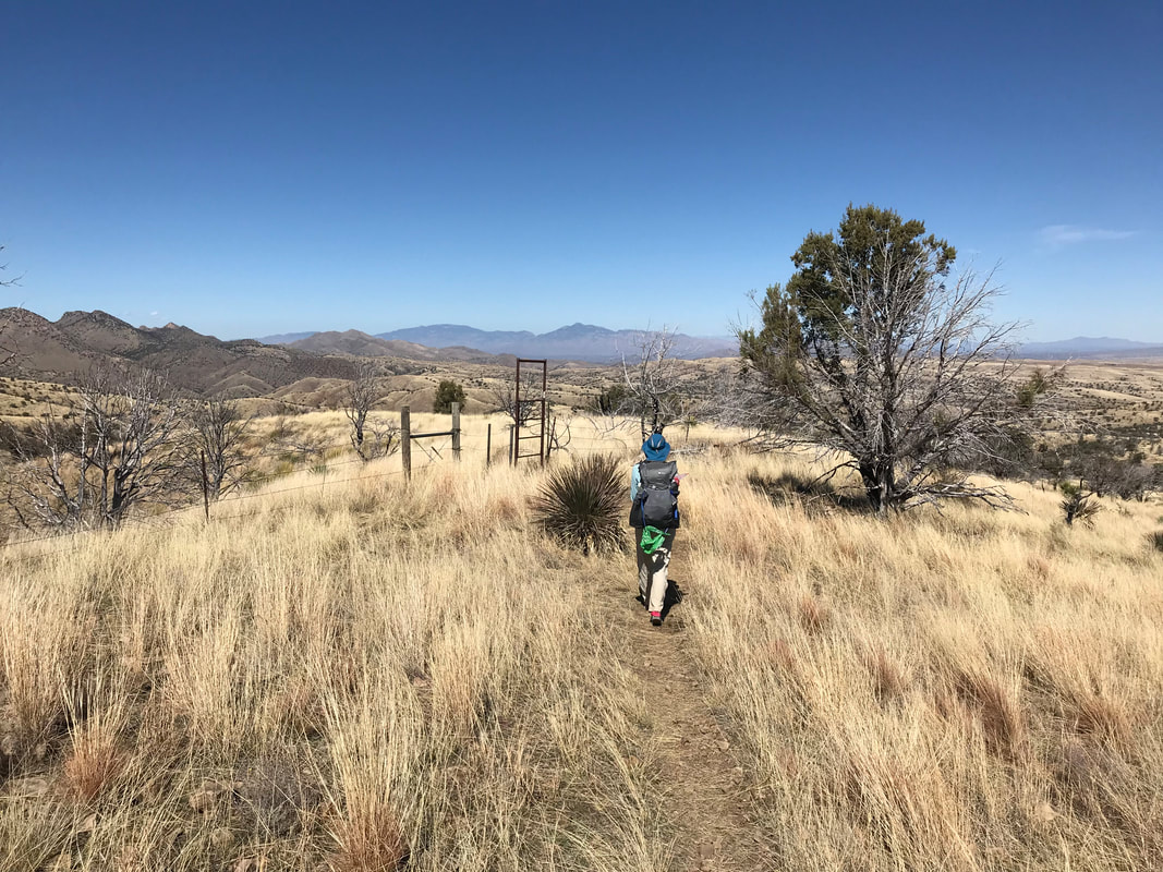
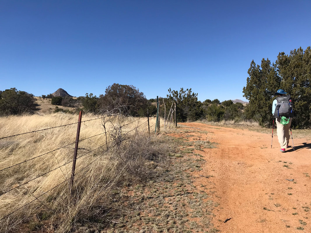
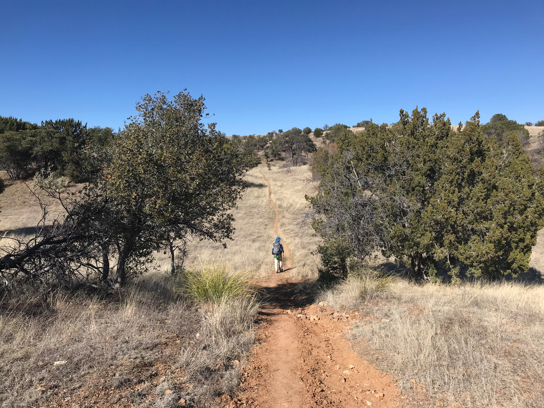
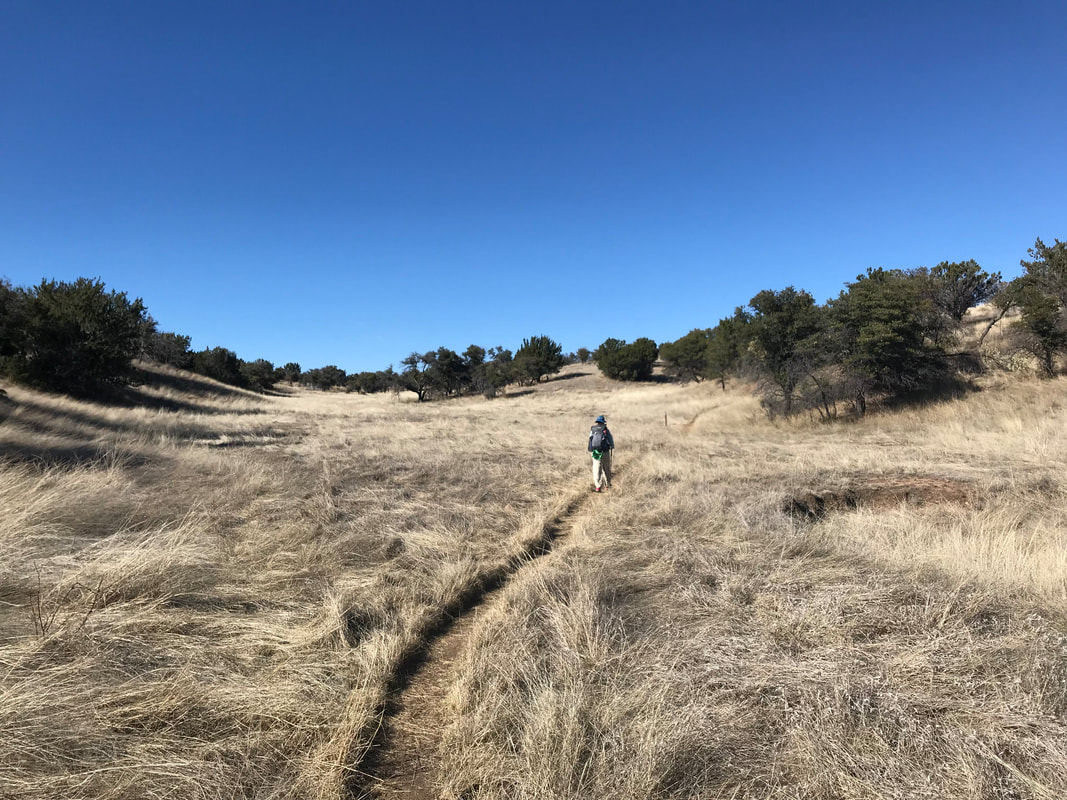
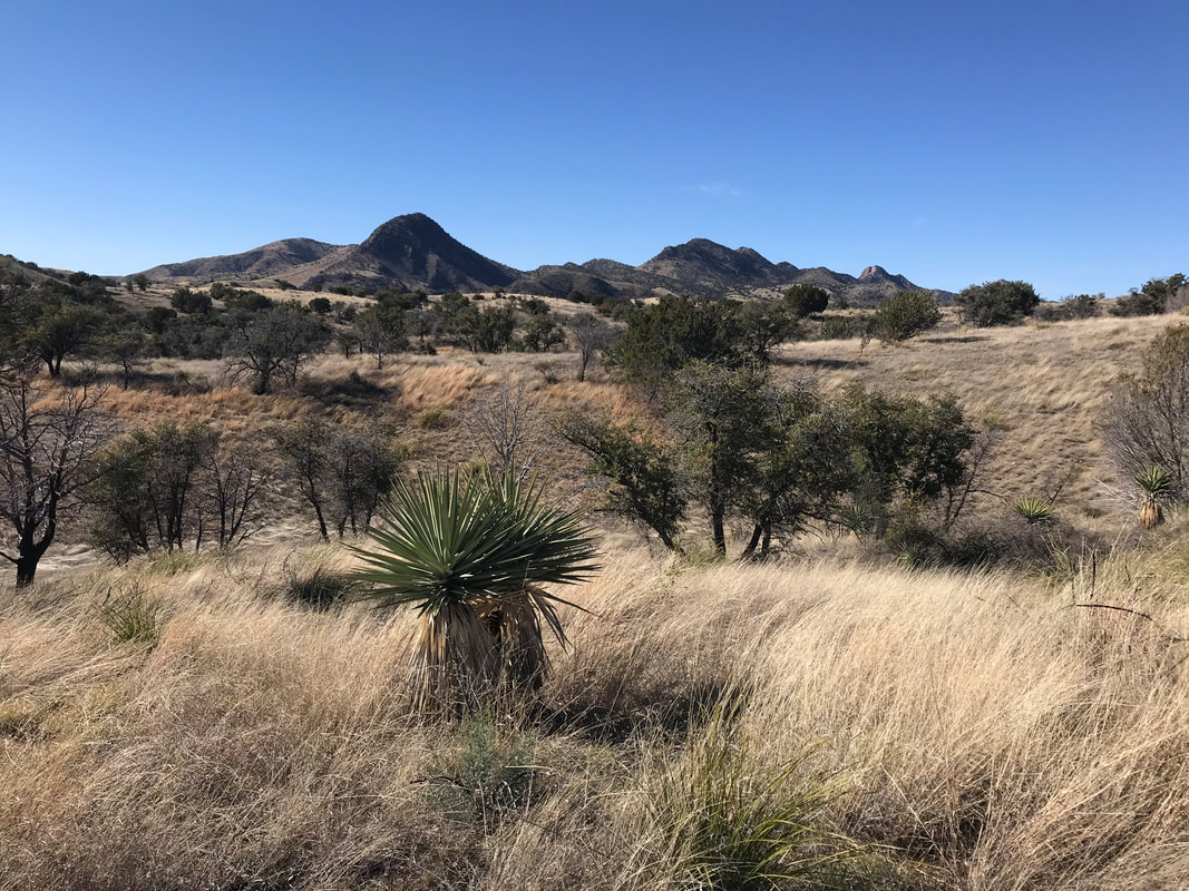
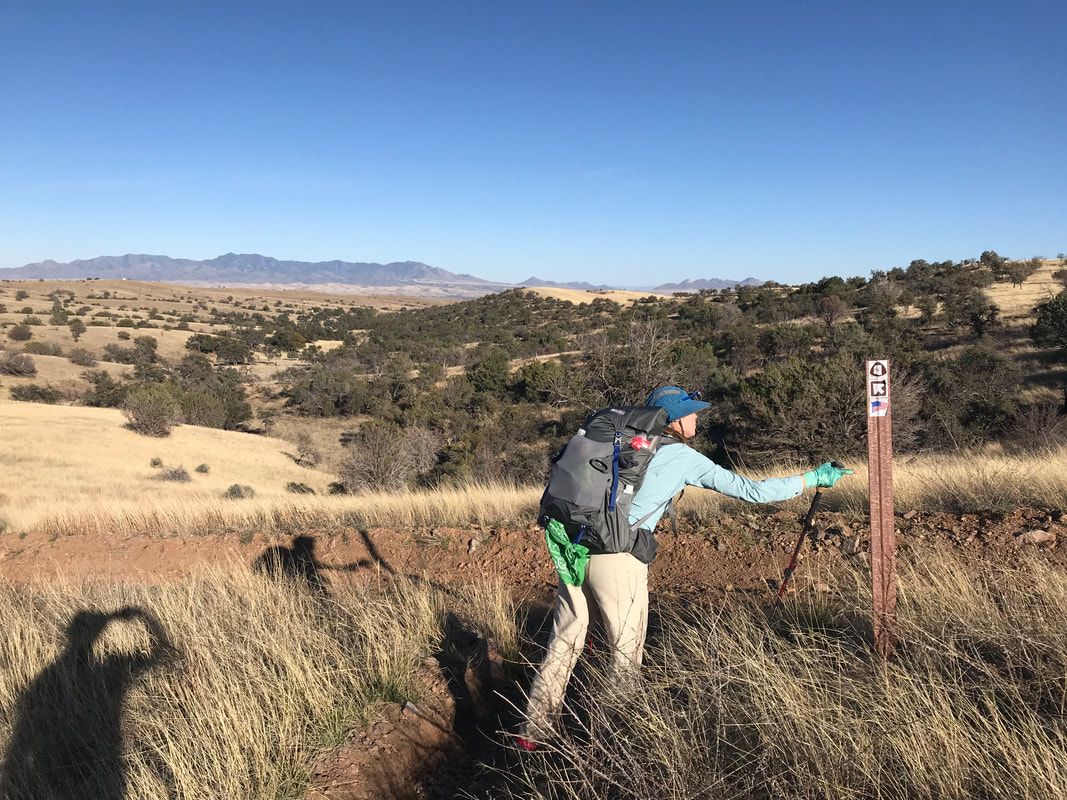
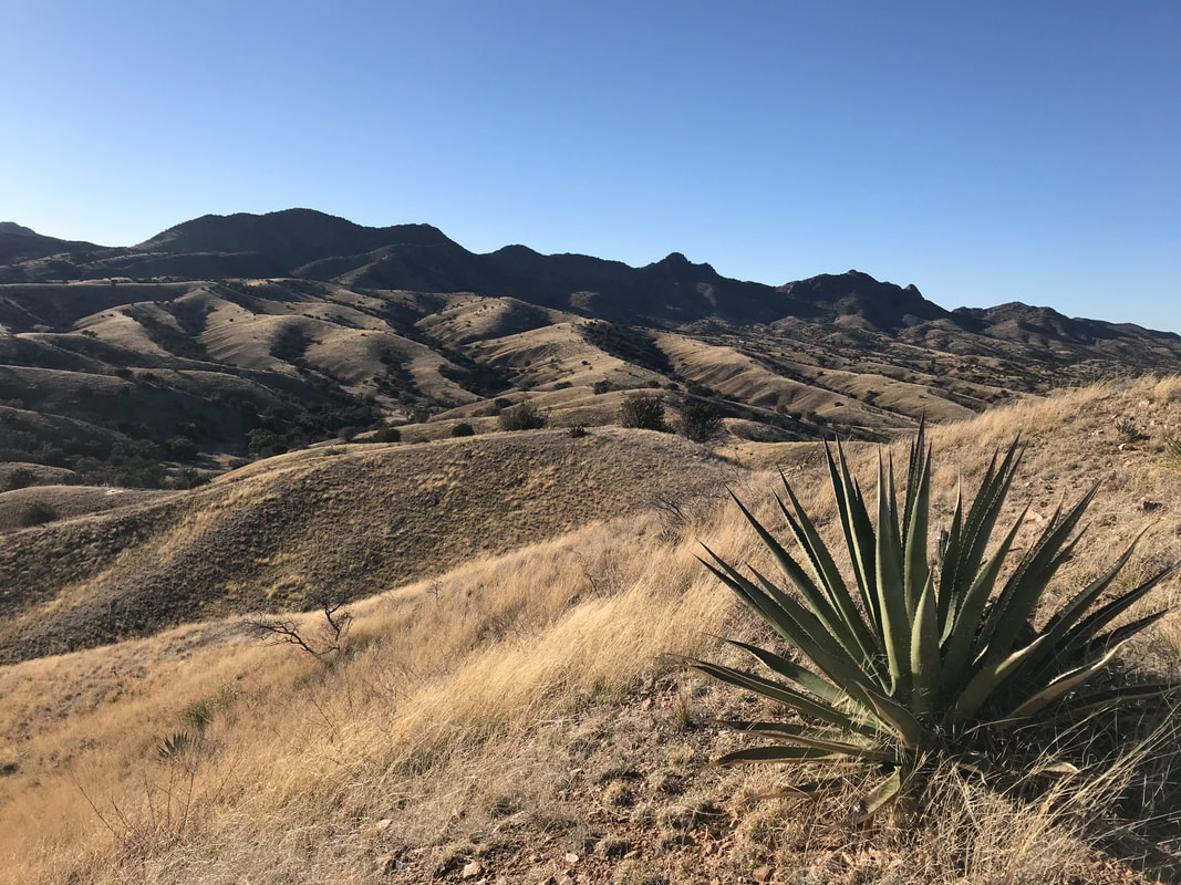
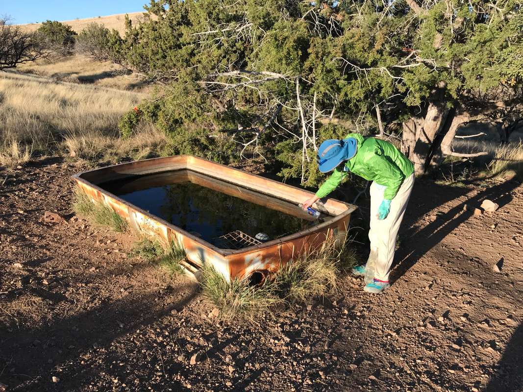
Waking up with light coming over us, Janna and I ate a cold but sunny breakfast behind the abandoned water tanker from last night. Chris had been up early and had caught up to us; he was now filling up water from the cattle trough. He peaced out quickly as he was eager to get to Oracle, AZ where his wife was waiting to meet him. The morning’s hike was leisurely and beautiful, a nice graded downhill in contrast to the steep descent yesterday. Flowering shrubs along the trail gave off a great odor, perfuming the air. The AZT crossed into lower foothills and made its way by High Jinx Ranch - a National Historic Site that was once the home of Buffalo Bill Cody and his gold mine. Now, it’s a Bed and Breakfast and a well-known AZT thru-hiker service site with water and a place to camp. We passed through after looking at the buildings, crossed a paved highway leading out of Oracle, and made our way towards American Flag Trailhead. The TH here has an awesome Arizona Trail post we took obligatory pictures at. In a way, it sits just south of the northbound 200 mile mark on the AZT, a stepping stone in itself. With that, we passed the two hundred line and made our way into Oracle State Park. I love Oracle State Park and it was here, two years prior, that I split my patellar tendon towards the end of the Oracle Rumble Ultramarathon on the AZT. It holds…certain poise and reverie in my mind. The register at the entrance to Oracle State Park contained the names of everyone ahead of us on the trail, via their trail names. After some deliberation, Janna and I had settled on the trail names of Radar (Janna) and Coati (Forrest) and recorded them here. I’ve got nothing against trail names; it was something we both did here, a piece of thru-hiking culture used in American long-distance trails and fun. However, I still feel to this day divided over whether I would use a Trail Name in the future. Often, hikers ask my name and I say “Forrest,” only to have them think that is my Trail Name, not my real name - something I try to explain later. Coati and Radar would bookend this moment and the end of the trail. Soon after, we caught up to Chris was very excited to see his wife. We laughed, took some pics, and bid him adieu as he was waiting at a road crossing for her. Making our way through Oracle State Park, I was floored again to see the vast blooms of early spring flowers - mallows and poppies everywhere. I thought the flowers were stunning. Little did I know that what we saw now would be nothing compared to the veritable superbloom, spurred by the massive El Nino winter snowpack and rain/water availability), we would walk through in a few day’s time. The trail crisscrossed the park, creosote and sage verdant green into the distance. We approached the underpass to Highway 77, memories returning of me hunched over, knee cracking, only a few years before at the end of that race. Passing our way to the other side, everything now was hiking the AZT in reverse of the Oracle Rumble. We walked our way up the partially paved road that waited on the other side. The desert looked green, truly green, from the views afforded us. Ocotillos were in full leaf. A camp of locals sat outside their SUVs nearby, scoping deer and remarking on the crazy abundance due to the plentiful winter. At Tiger Mine Trailhead, we stopped and were picked up by van by Marney. She and her husband, Jim, are the incredible trail angels who won the Chalet Village Motel in Oracle, AZ. They stock water, bring candy, and take amazing care of hikers. She gave us Laffy Taffy, stuffed our gear in the trunk, and drove us back to the motel. There, it seemed every room was booked by a thru-hiker, including Chris and his wife. We settled in with showers, the first in nearly two weeks, and then met up with Chris to get some pizza down the road. I ate SO MUCH PIZZA. It was insane. The four of us laughed, had some good conversations, and Chris’ wife drove us back to the motel where we passed out in the beds.
0 Comments
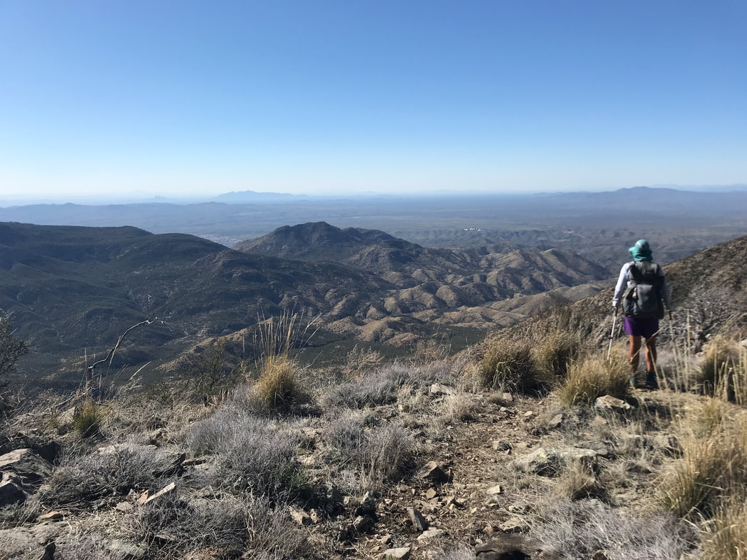
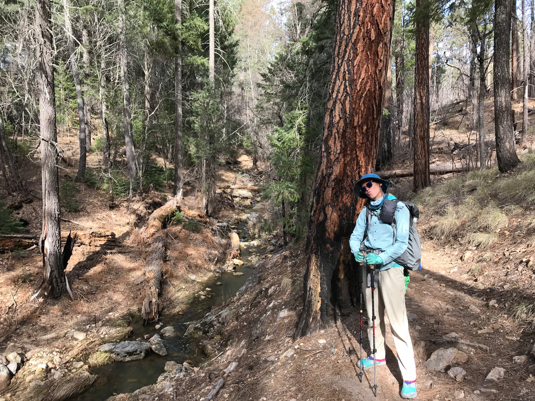
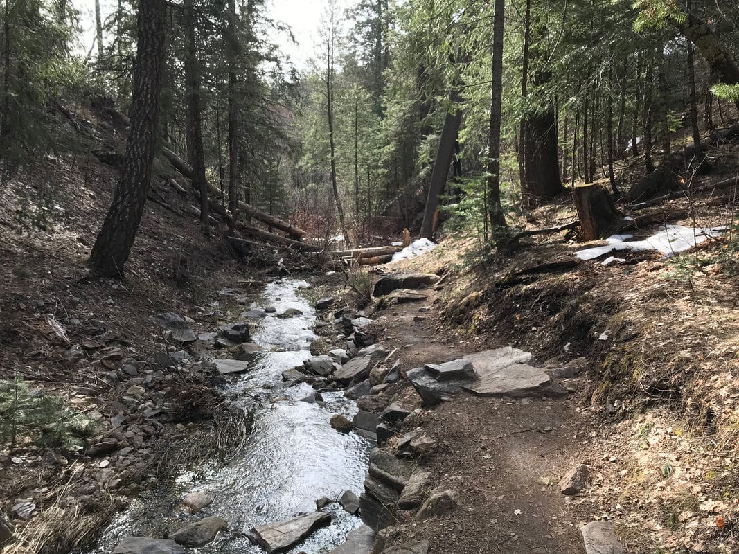
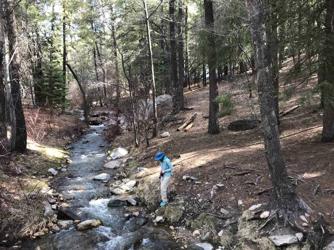
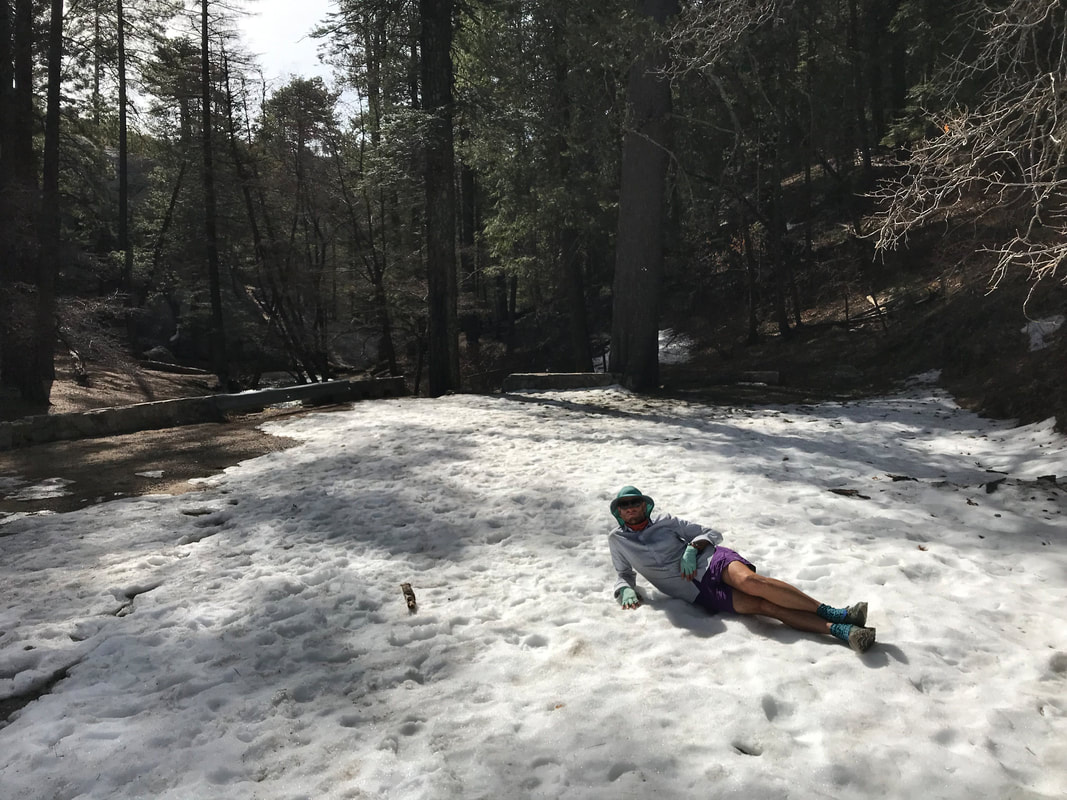
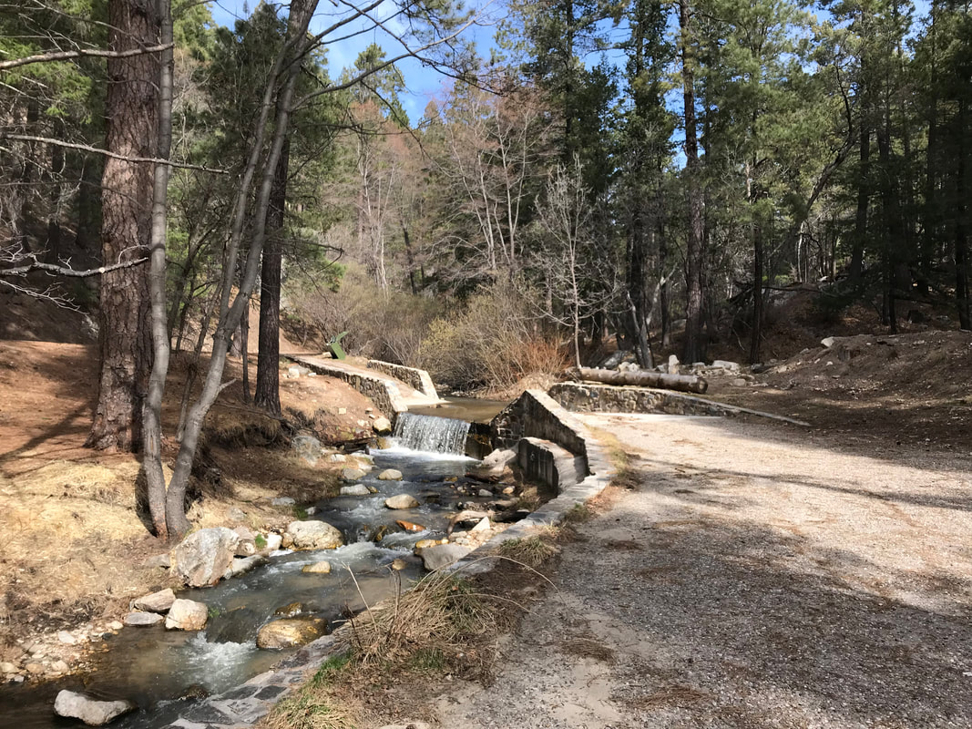
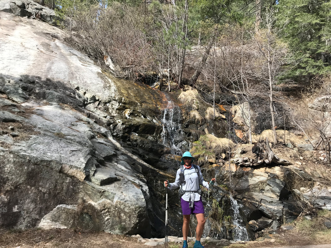
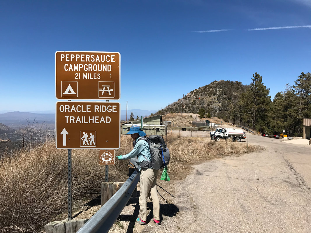
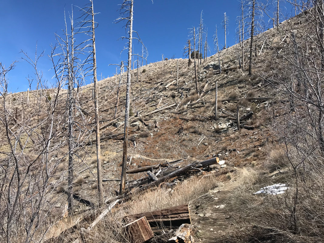
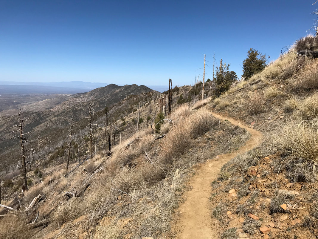
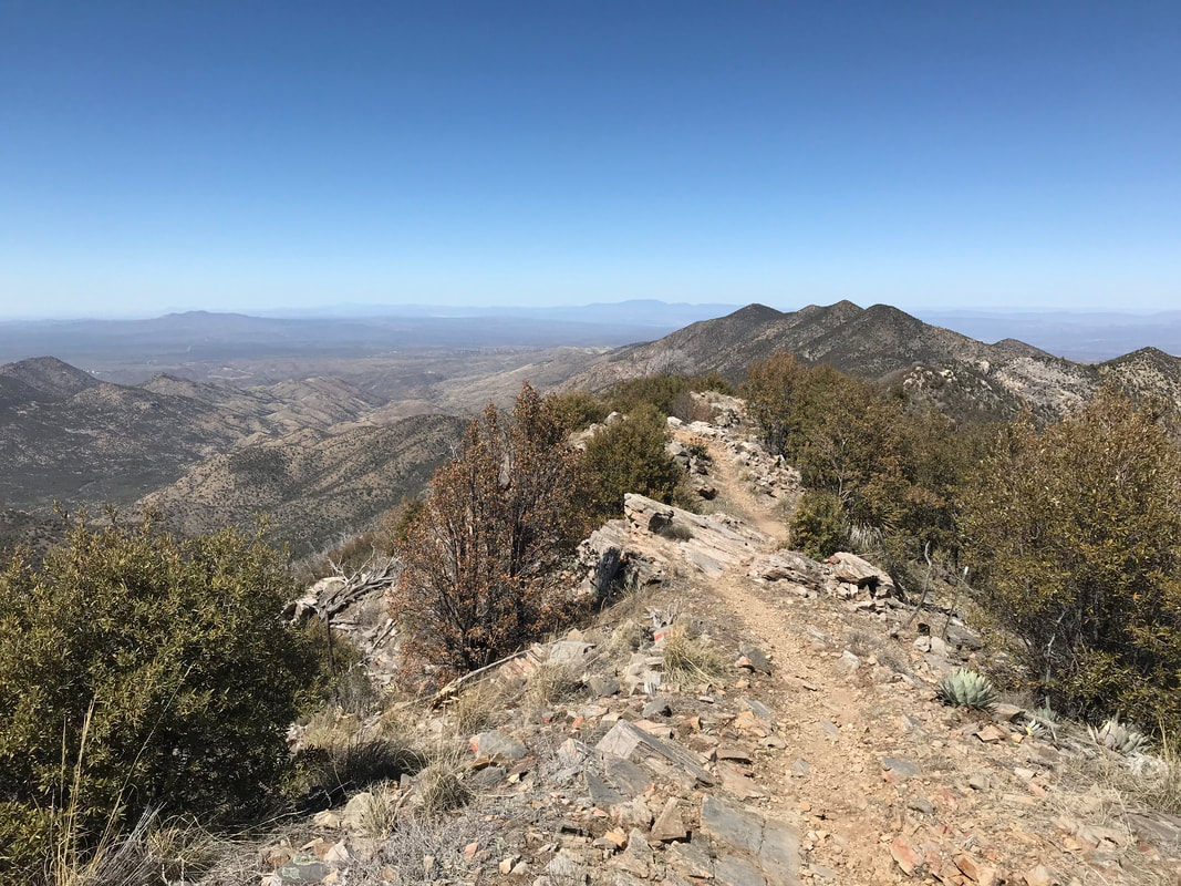
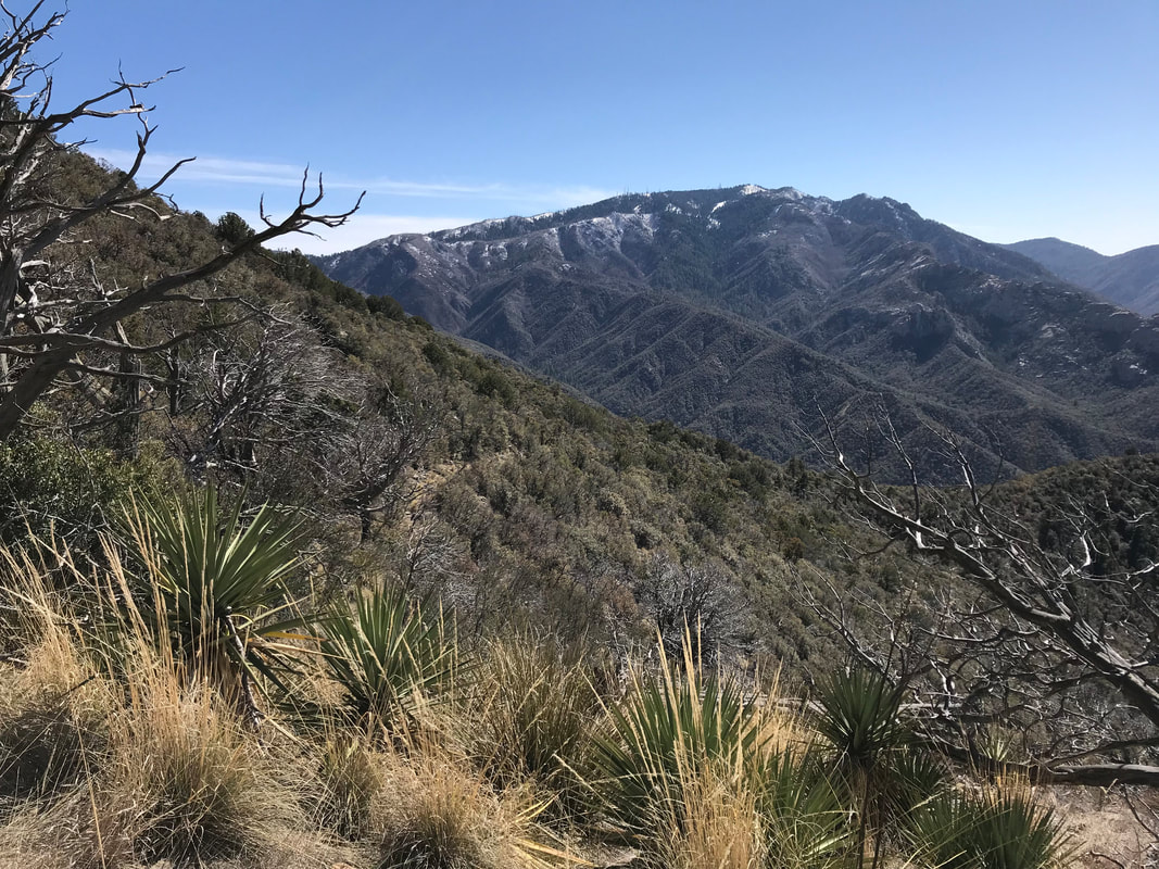
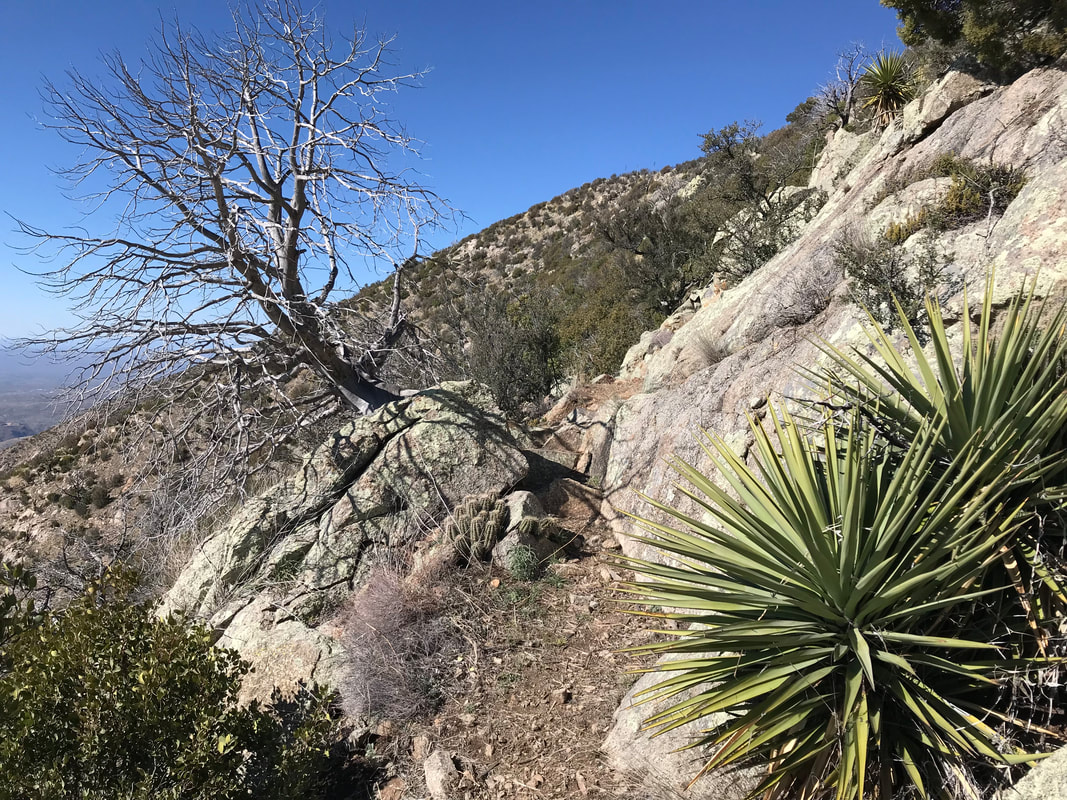
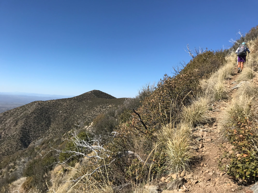
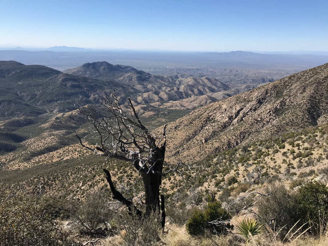
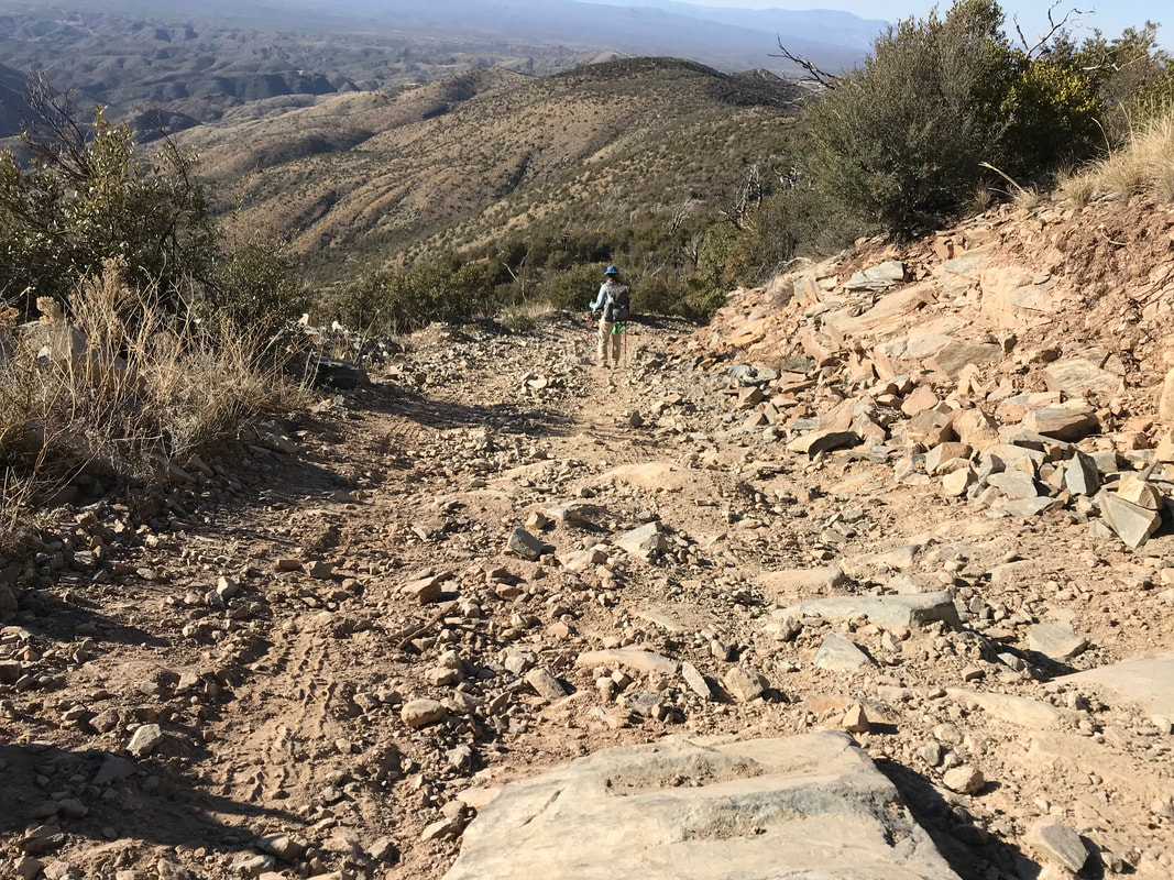
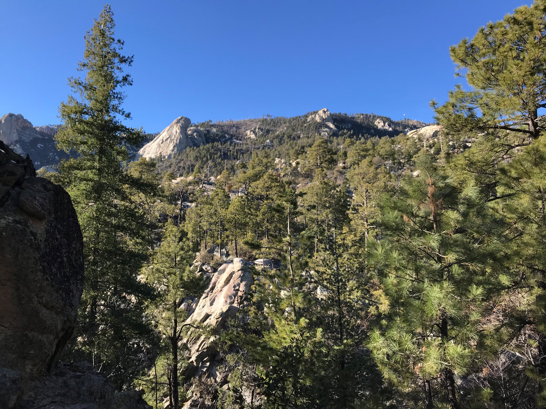
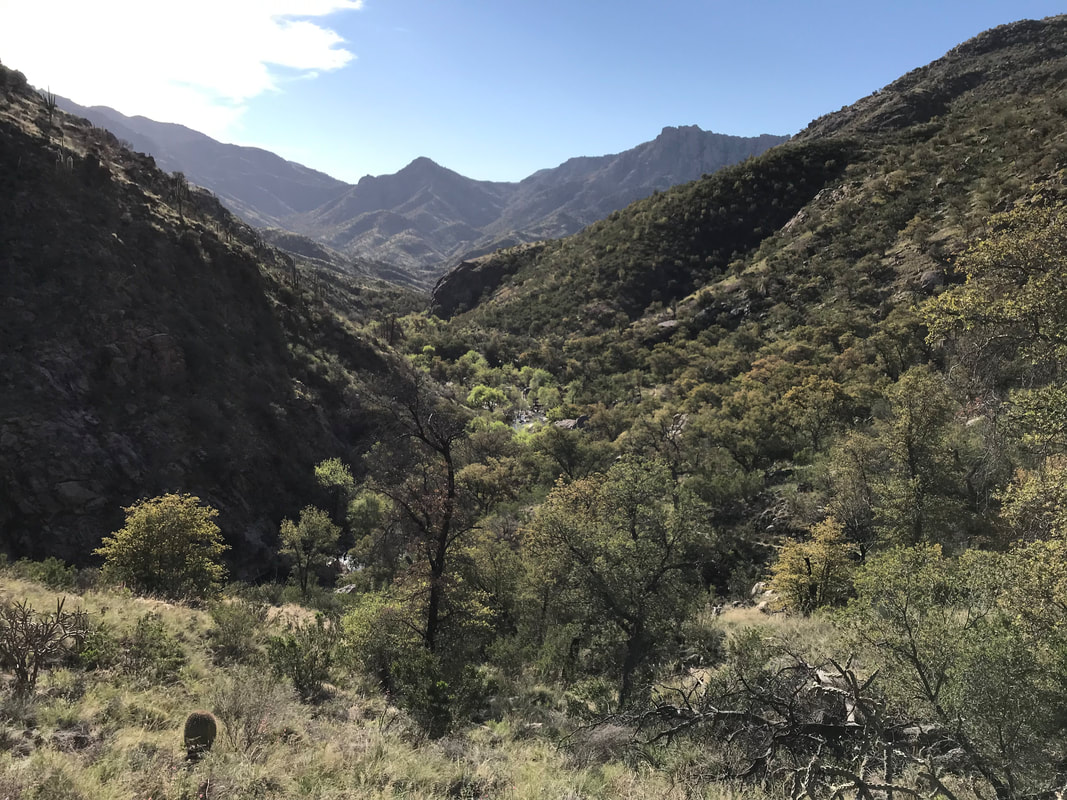
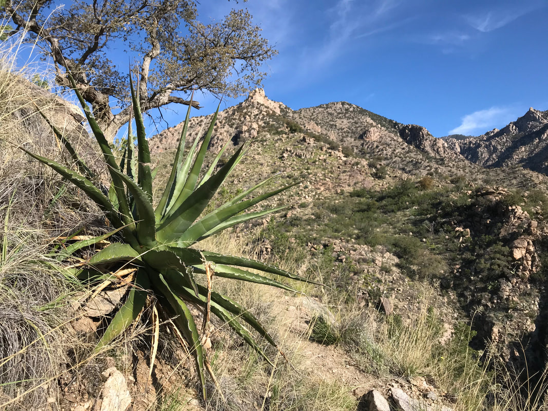
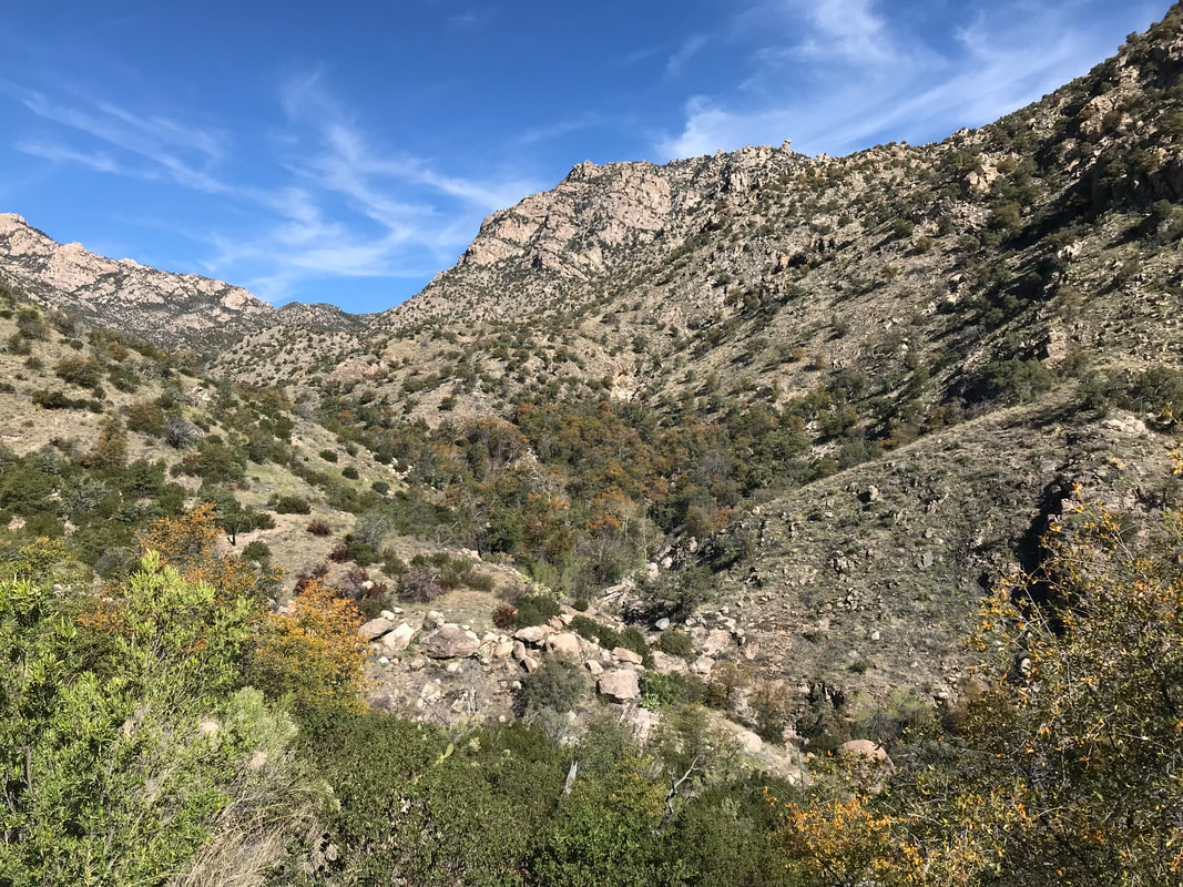
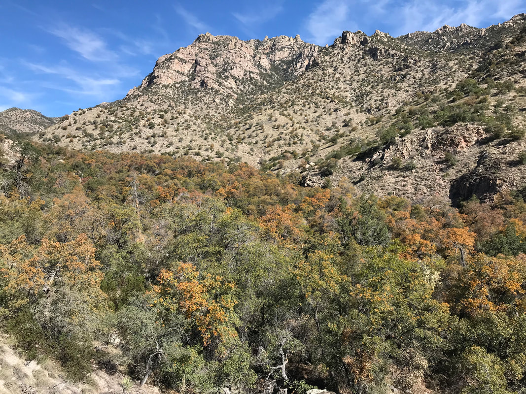
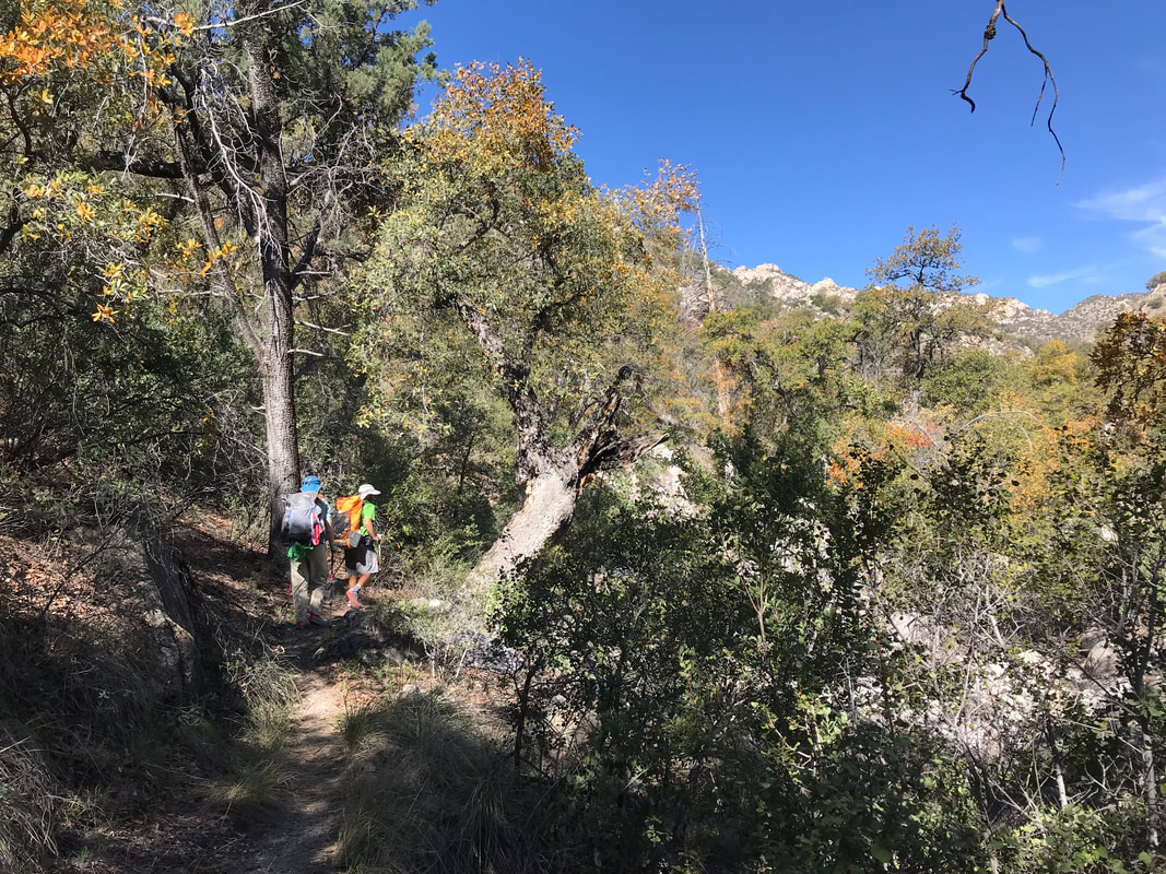
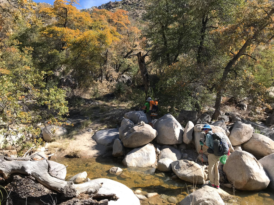
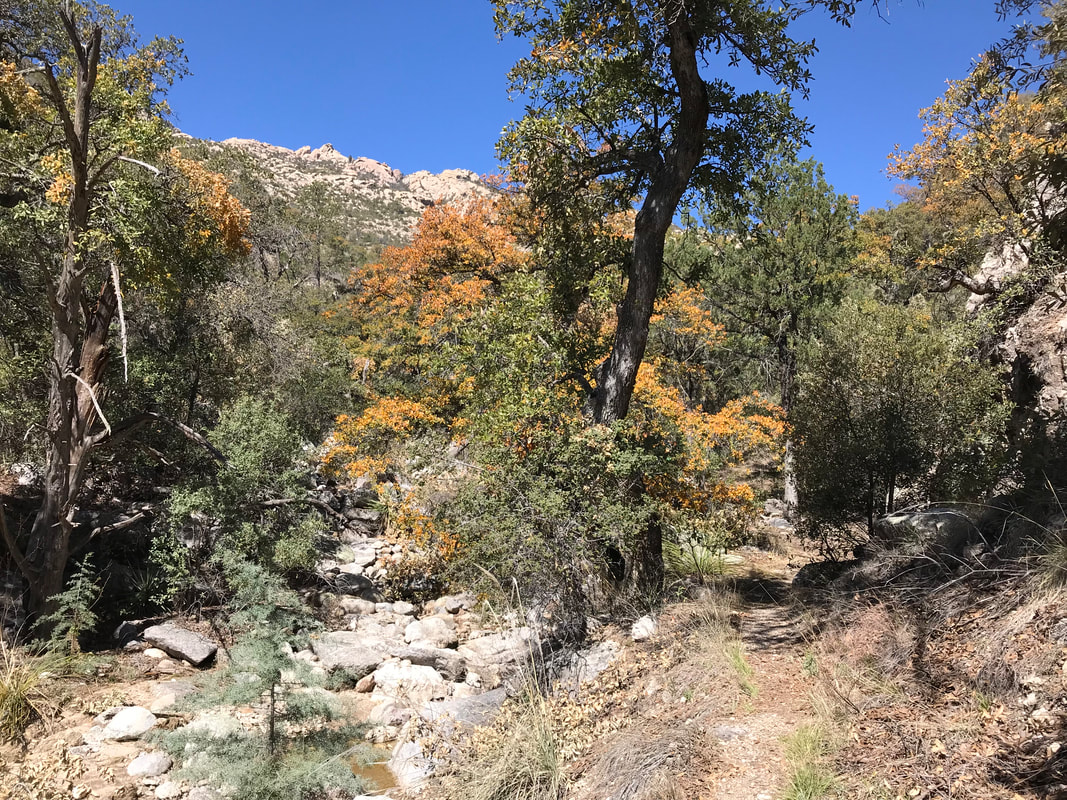
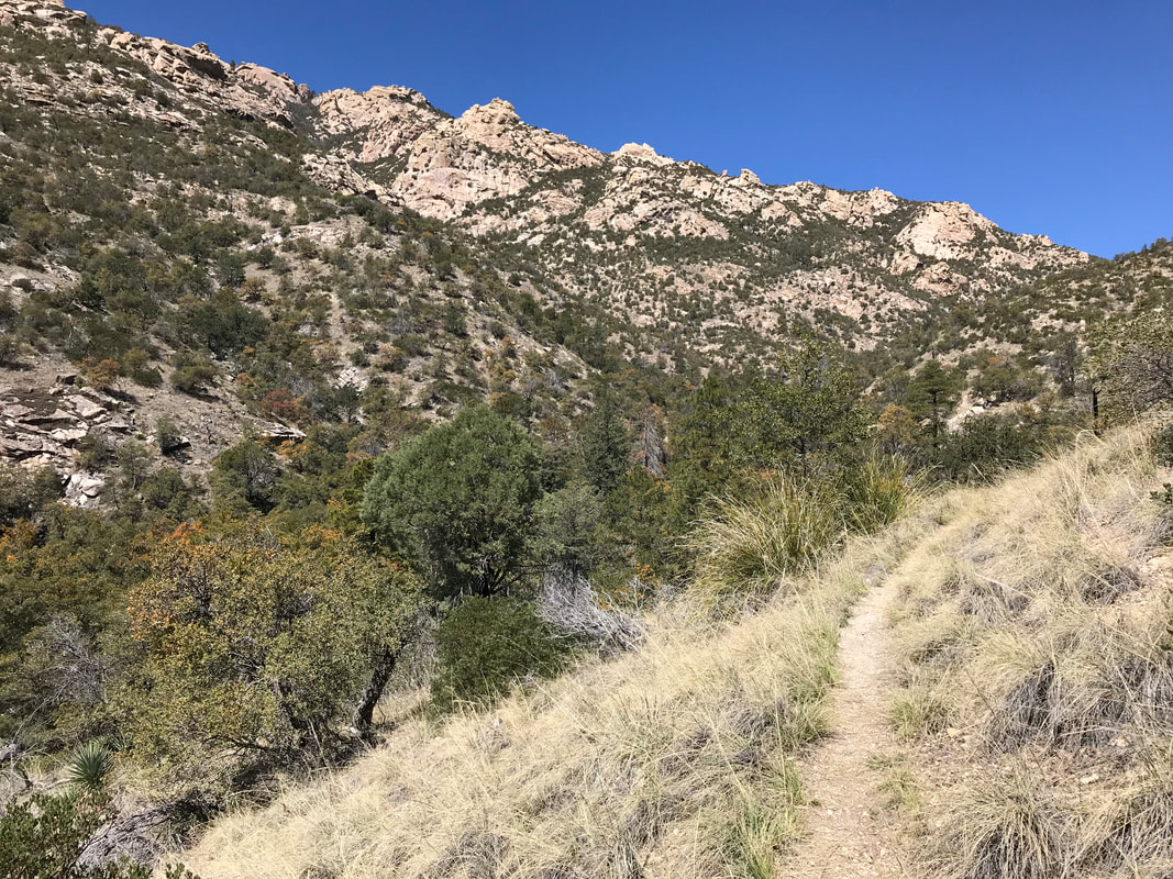
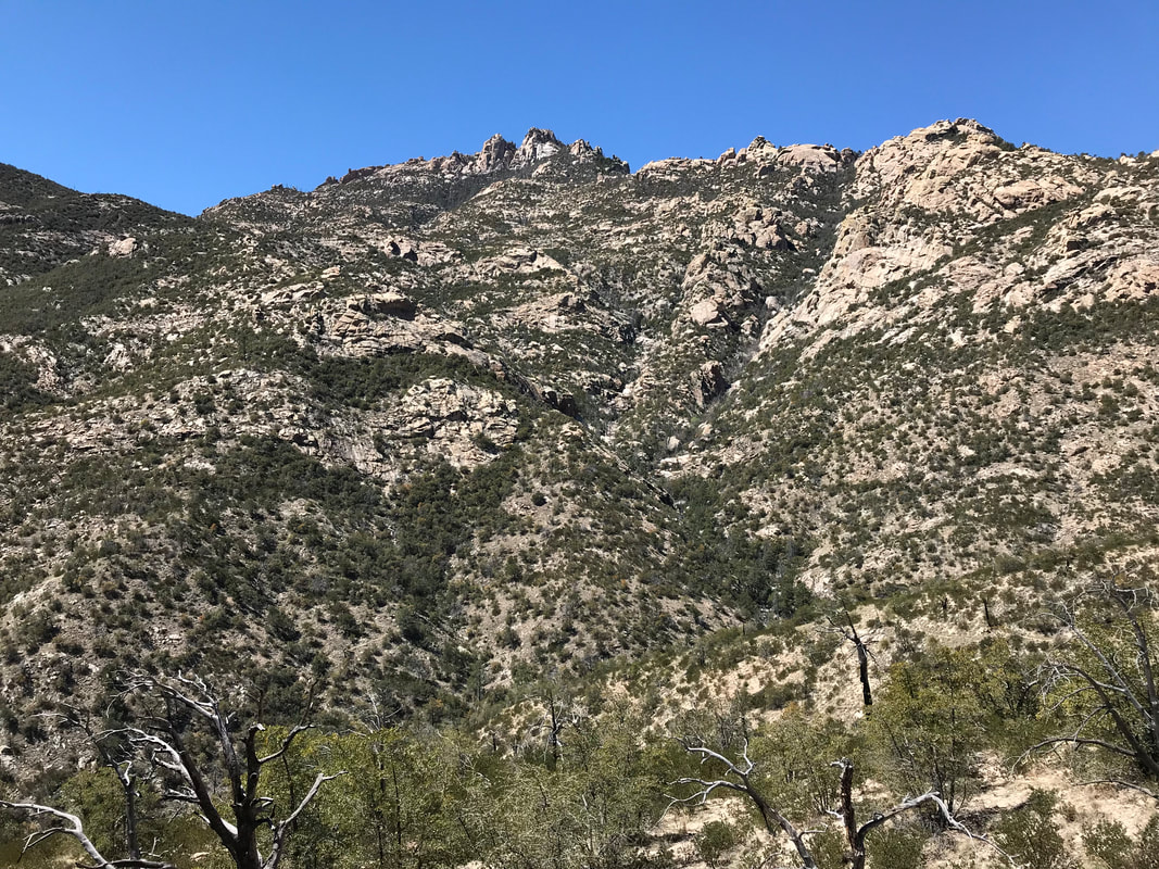
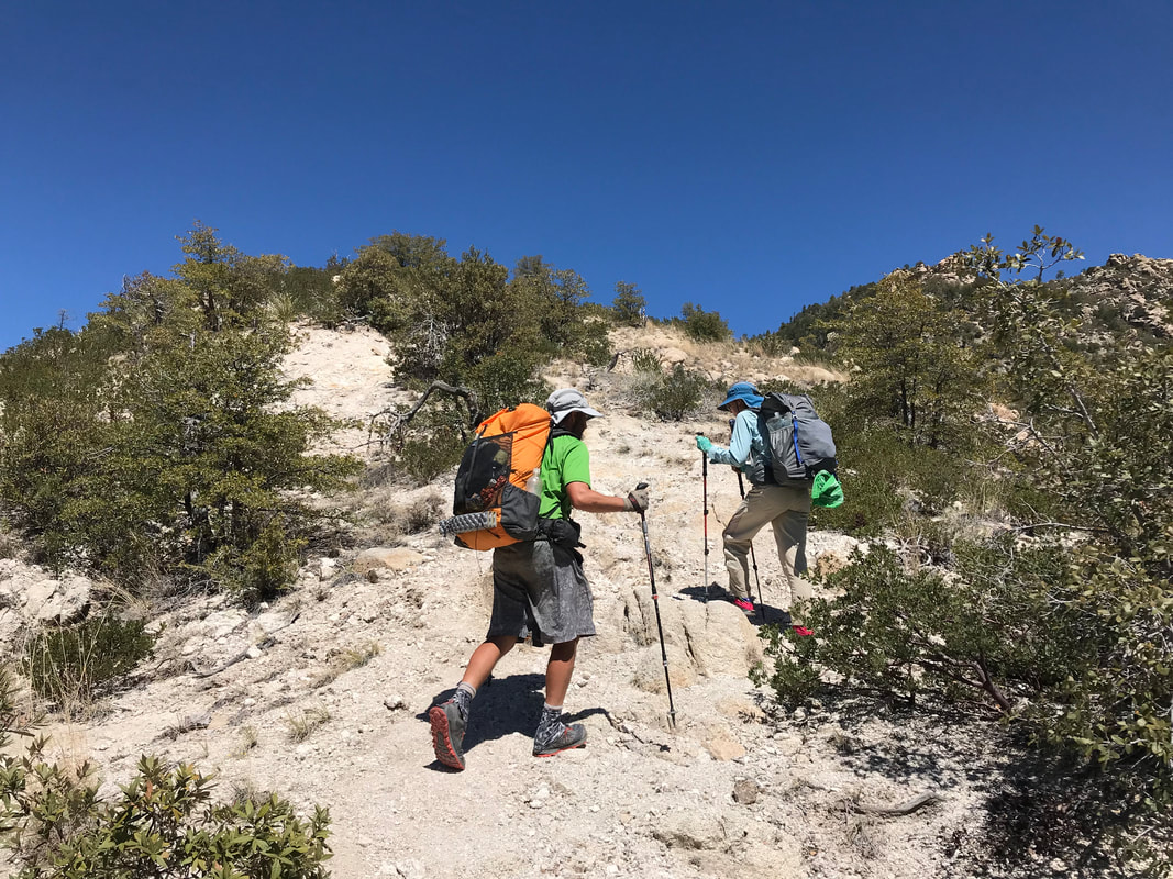
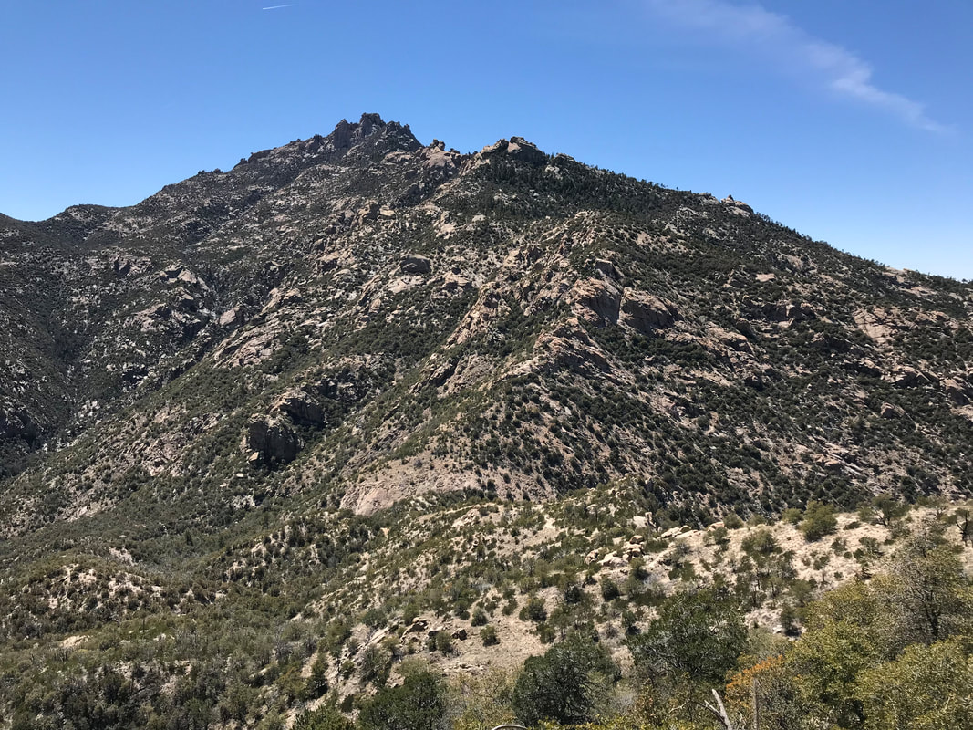
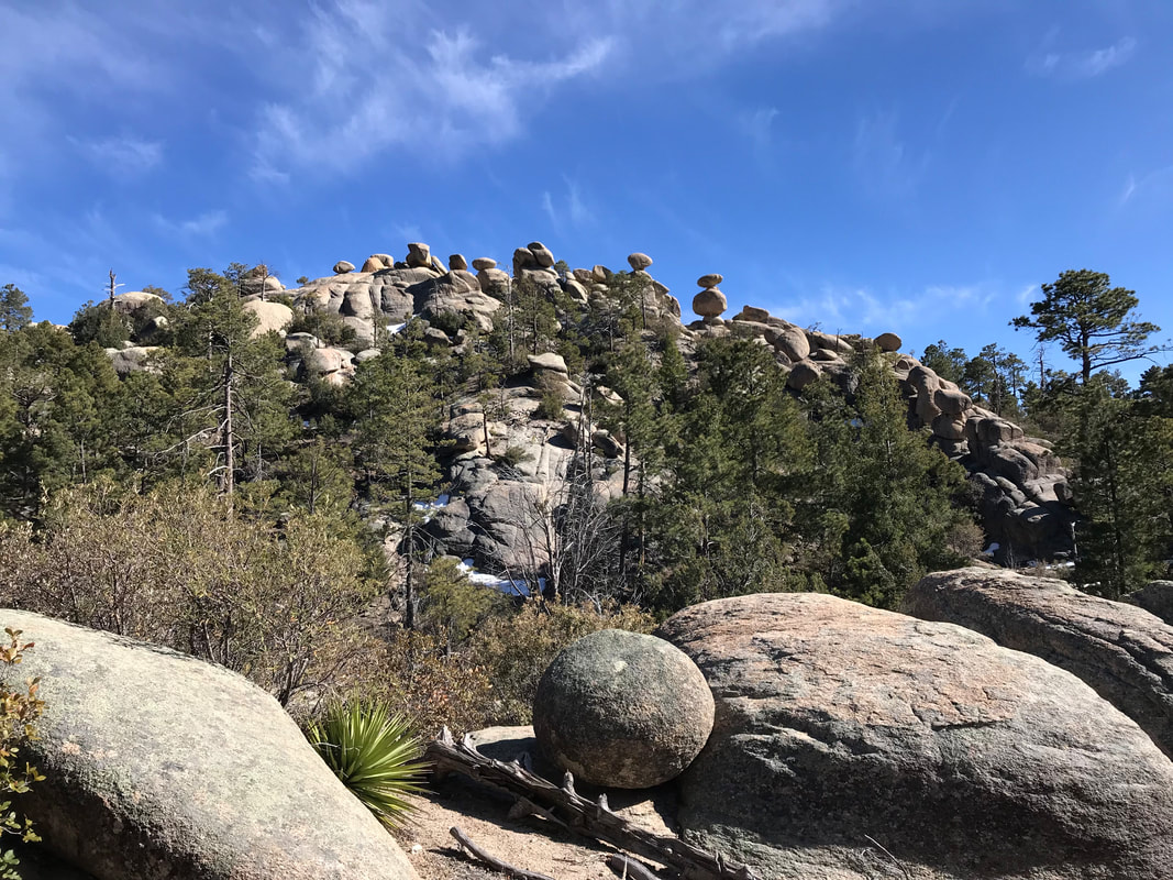
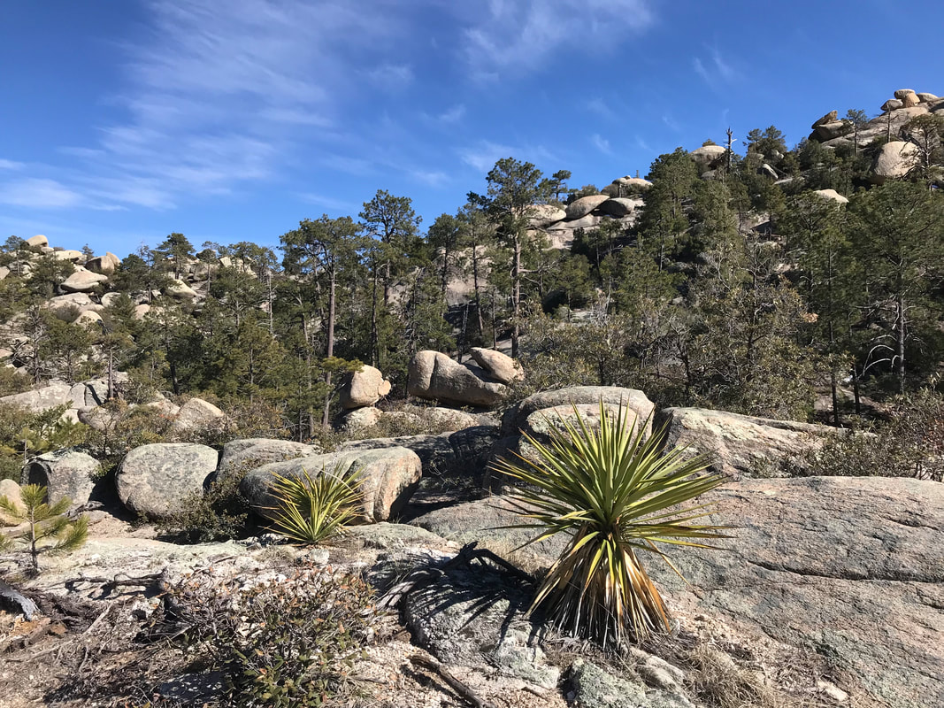
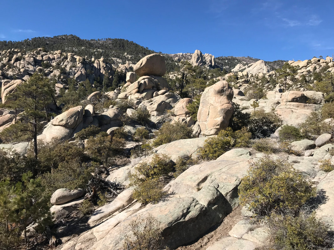
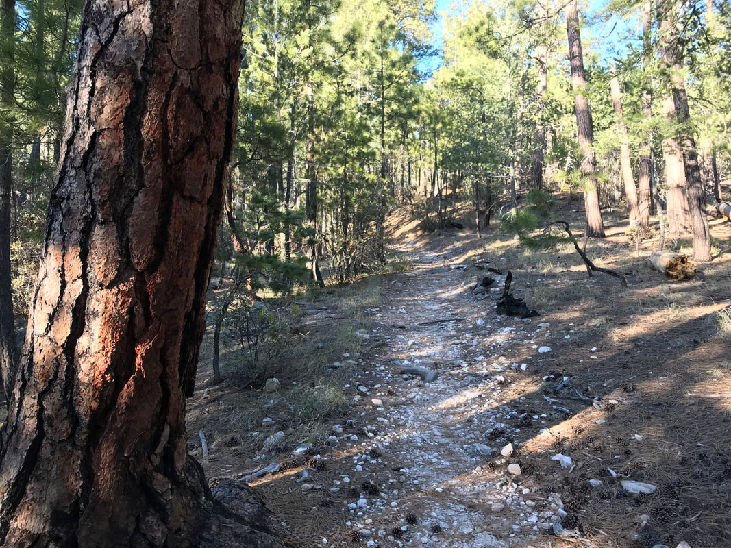
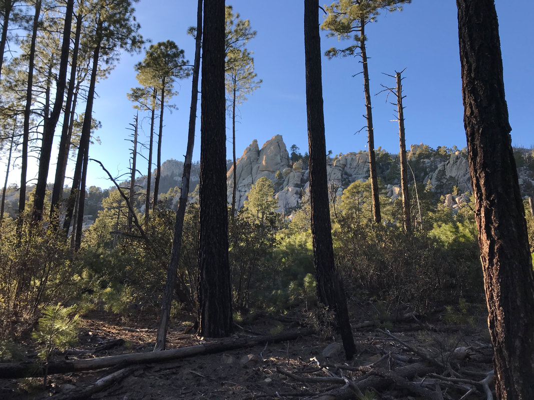
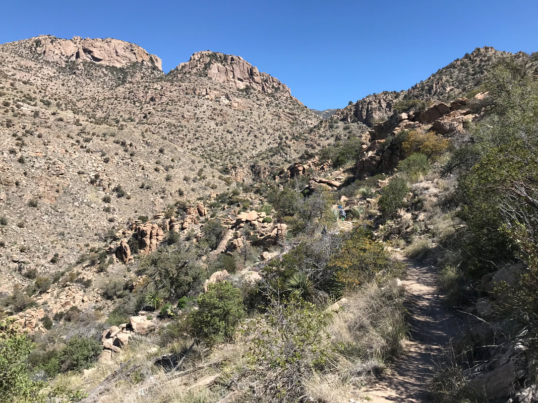
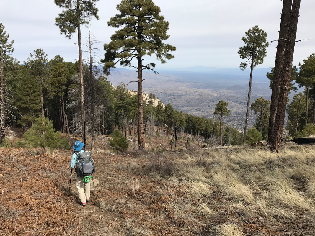
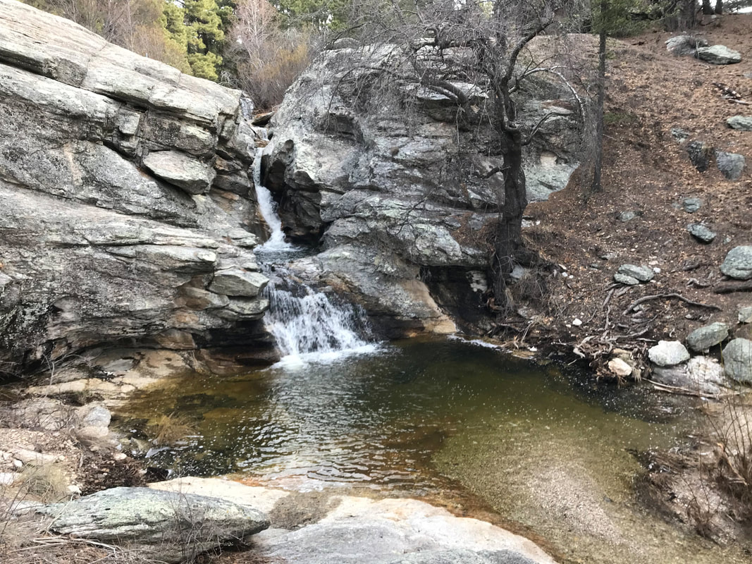
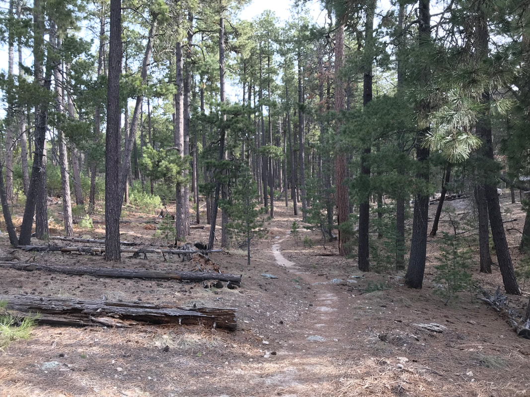
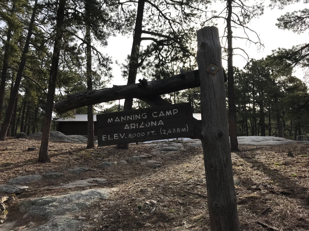
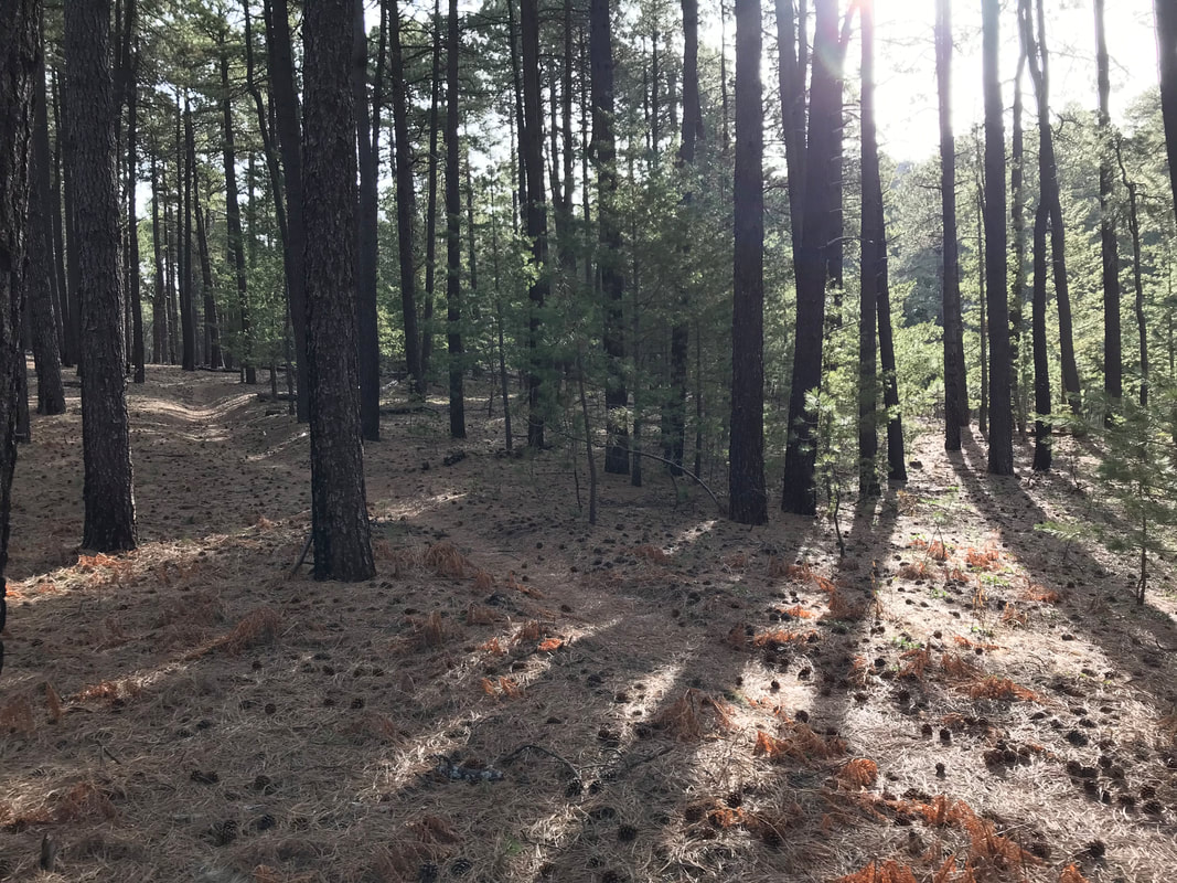
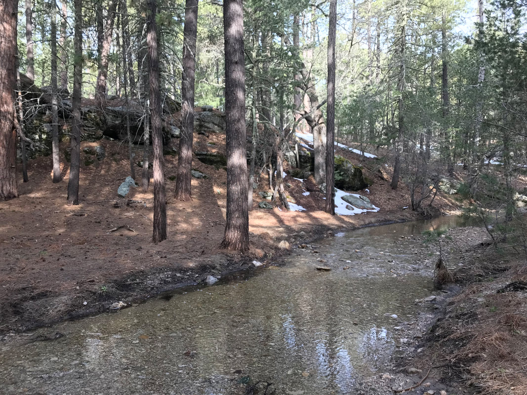
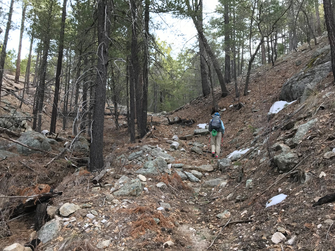
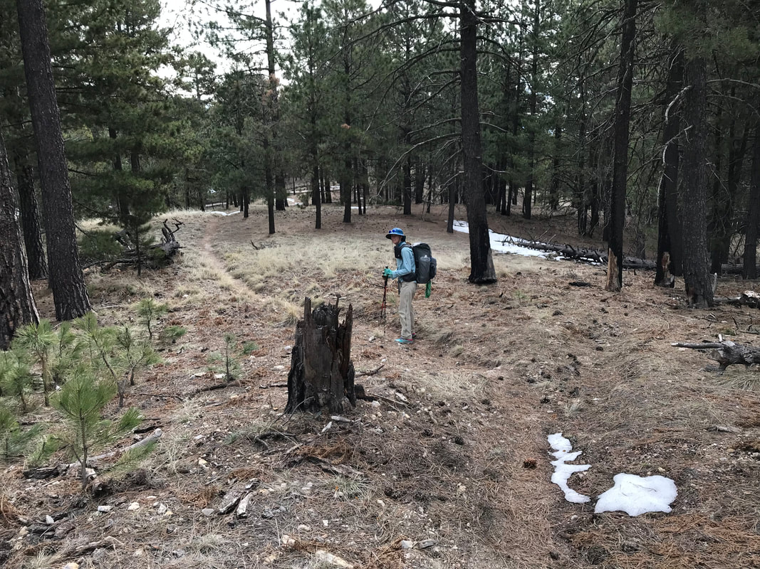
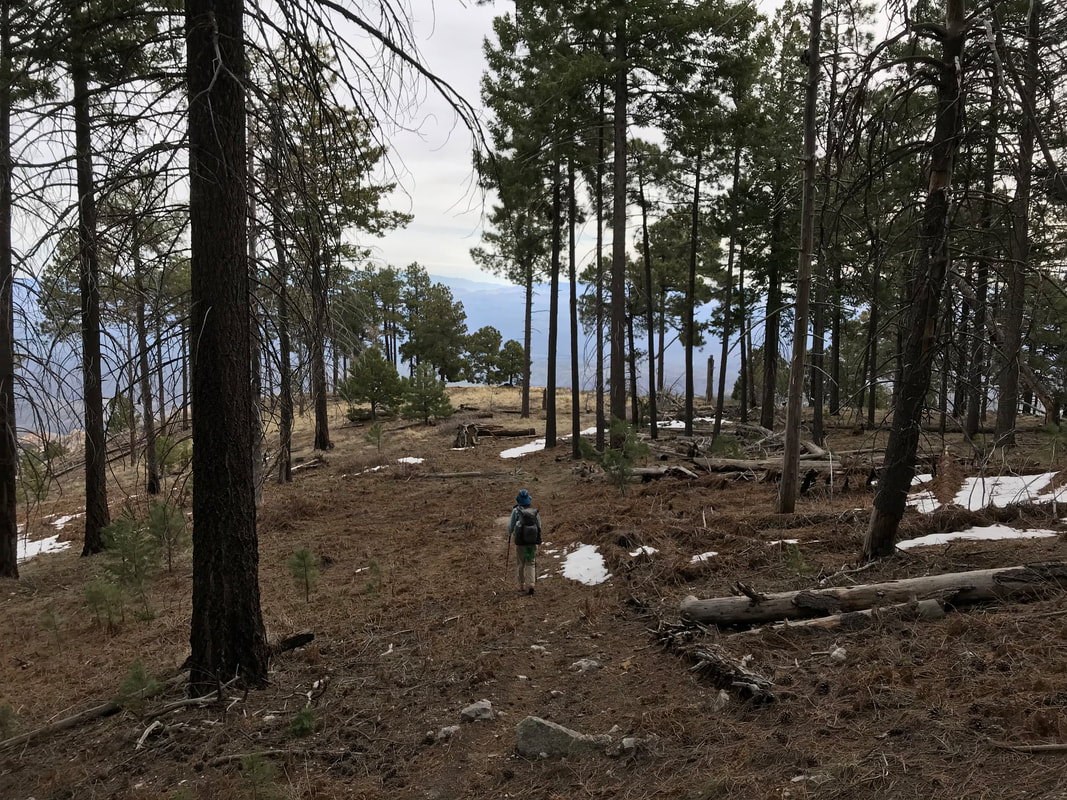
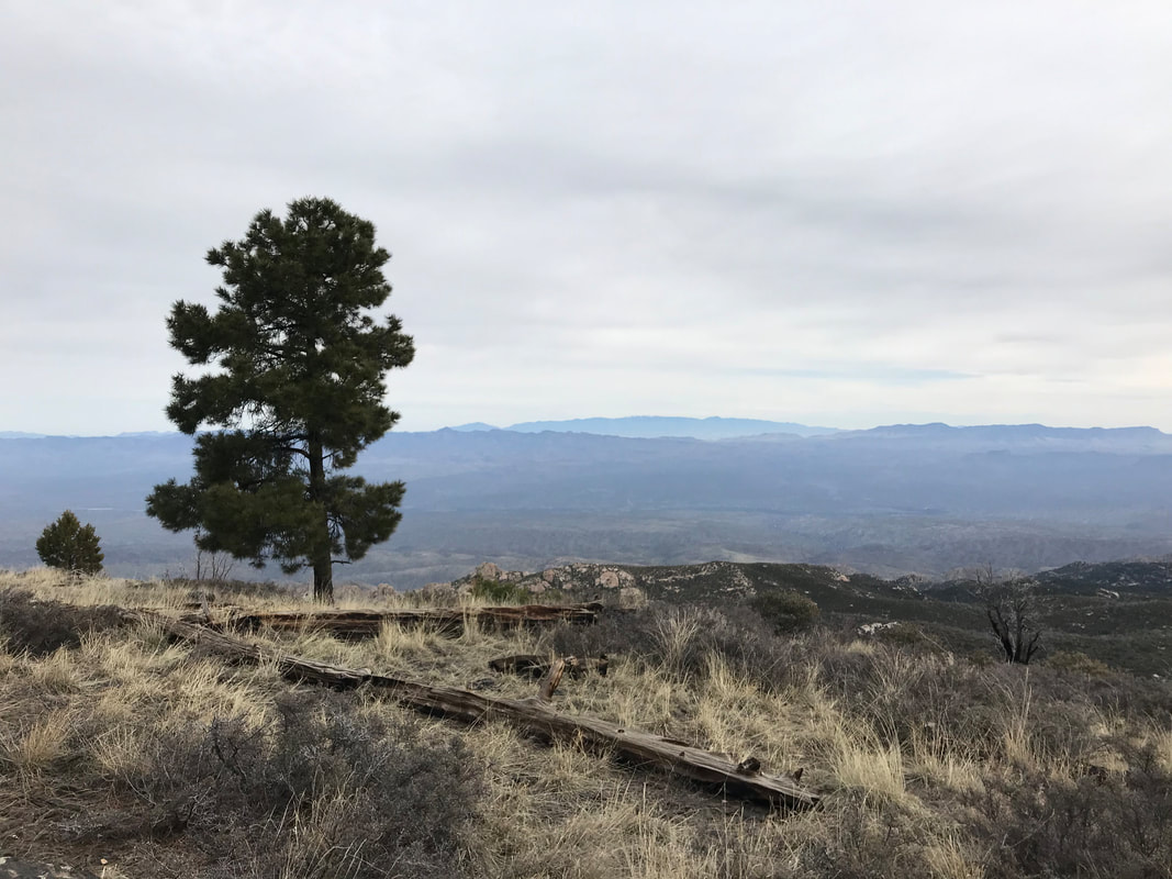
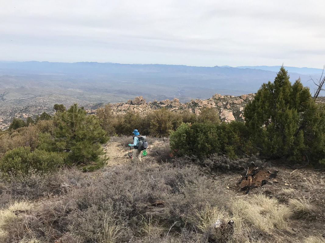
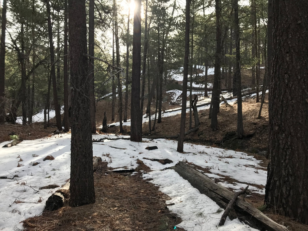
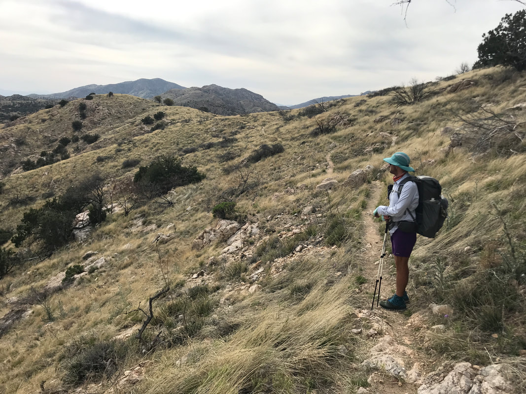
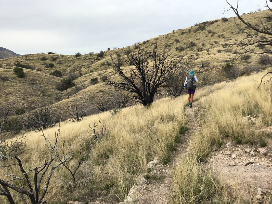
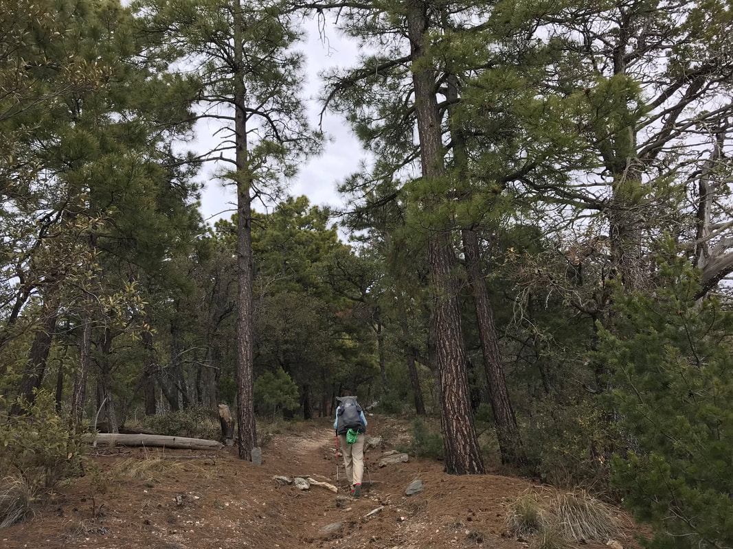
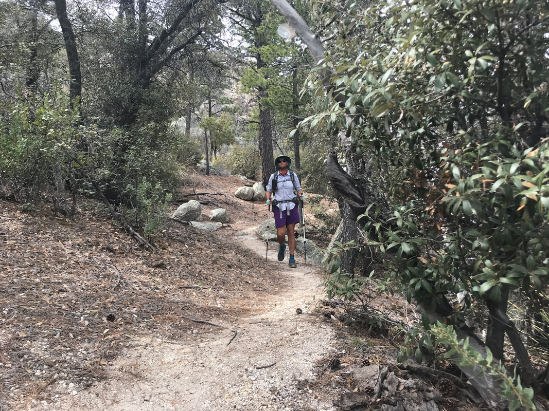
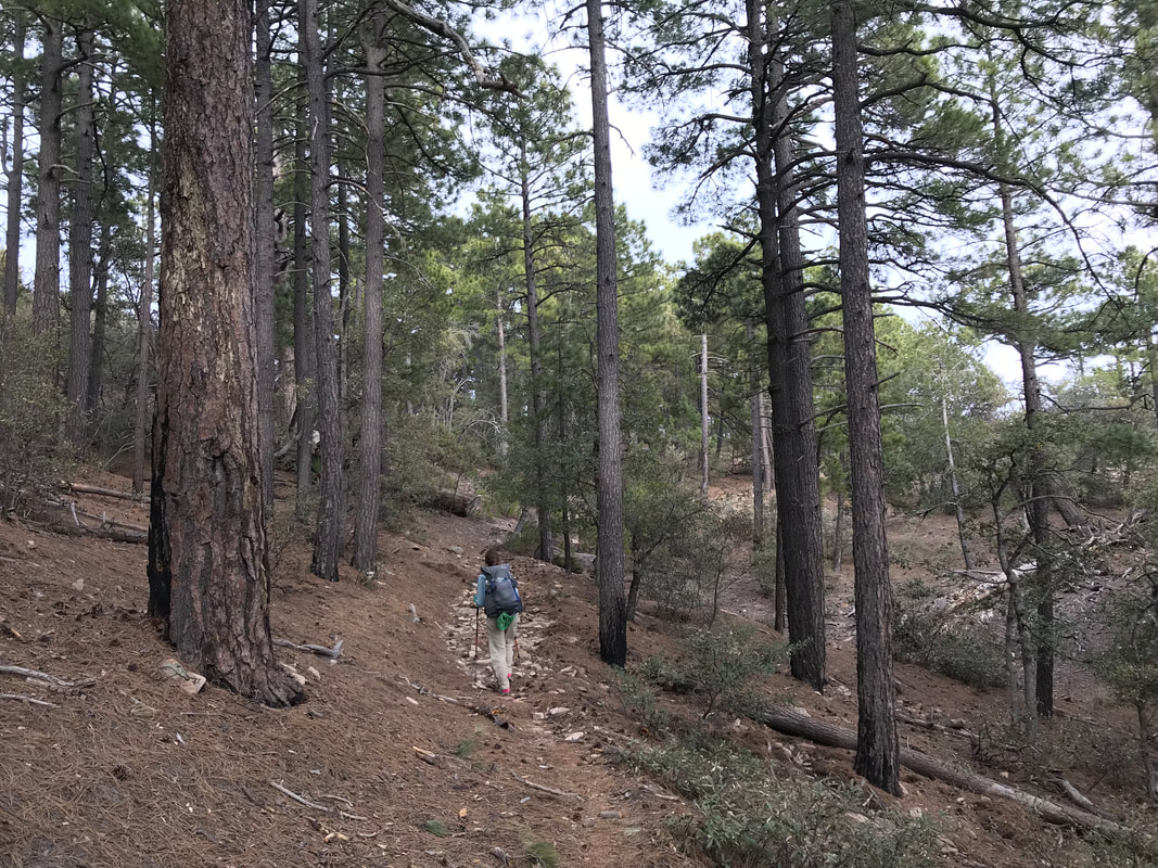
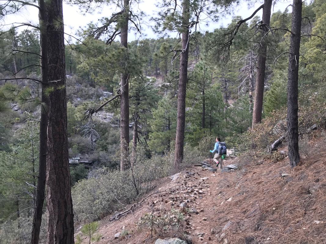
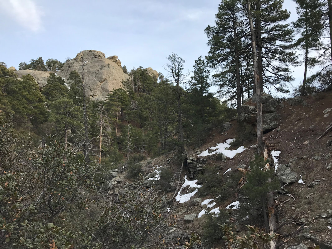
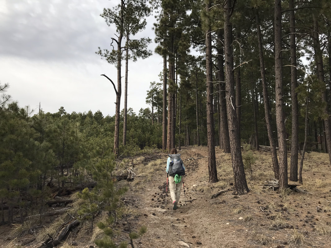
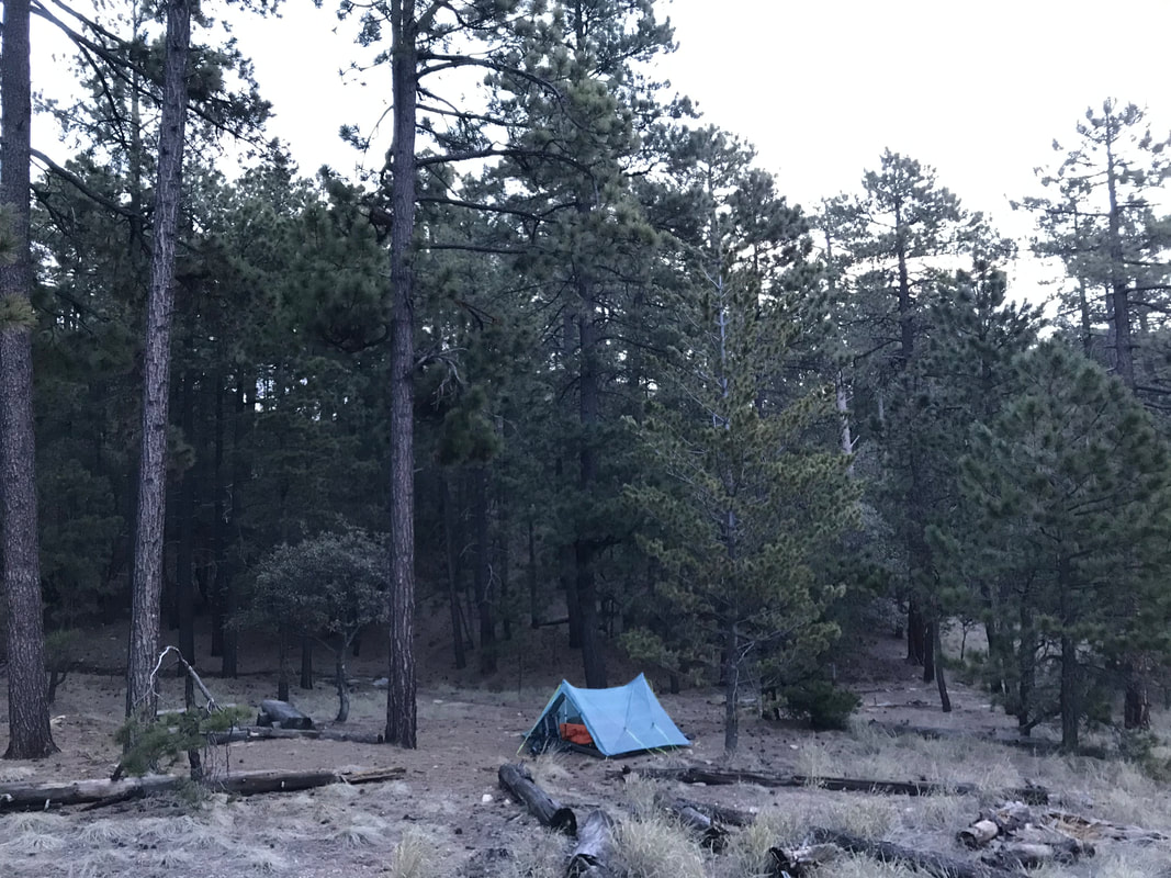
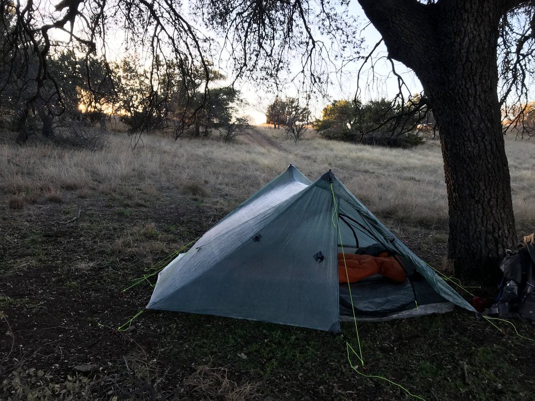
The cold winds swept through the woods all night, meaning morning was freezing cold and in the low 30s. Knowing today was predominately downhill, Janna and I allowed ourselves to sleep in a bit until the sun was actually touching the Triplex. We climbed out of the Triplex and parted from Chris who wanted to nestle in his cocoon of warmth for longer. On the Arizona Trail, we came up over a pass and descended through a pine forest and skirted the flanks of Sabino Creek. At the base of the mountains, this creek would be a venerable river, but up here, it was an alpine creek. Descending through frosted light, we passed a few older couples hiking out to bird watch. And just like that, we exited the Arizona Trail into a large paved parking lot just outside of Summerhaven. The parking lot is for Marshall Gulch Trailhead and it was closed due to snow. No cars were present and the entire paved road leading here was equally shunting vehicles behind a winter gate. We stopped to soak our socks in the frigid creek one last time next to some snowpack. It was peaceful and beautiful. Walking up the paved road, it curved next to some granite outcrops that were all heavily spilling waterfalls from snowmelt. We hopped the closed winter gate and found ourself in Summerhaven. Summerhaven is a small inholding town found at the top of Santa Catalinas outside Tucson. It’s home to the southernmost ski resort in the United States, a town with a few restaurants, post office, library, general store, and lots of vacation homes (and some permanent residents). It’s the town you aim for when biking up Mt. Lemmon with a Cookie Cottage serving dinner-plate-sized cookies for the successful. A paved side road leads even farther up over 9000 ft. to a slew of University of Arizona observatories raking the dark night skies above Tucson. Now in Summerhaven, we beelined to the General Store which rewarded us cold AZT hikers on this frosty morning with free hot chocolate. While thawing, we perused the aisles, purchasing tons of homemade fudge and enough trail food to get us to Oracle. The morning now sufficiently warming up, we walked up the road (now busily filled with cars and pedestrians) to the Sawmill Restaurant where we caught Chris. We settled indoors, eating burgers, fries, and desserts in the setting of a fire. Satiated, we wandered out of the restaurant and across the street to the Visitor’s Center to fill up water at the public restrooms. Fed, watered, and resupplied, we walked along the shoulder of the Catalina Highway out of town until reaching the fire department station. Take a left, we took the paved side road sloping down to the northeast. All I could think of was how this location was the aid station and turnaround point on the Mt. Lemmon Gravel Grinder race I had done in the fall. The service road quickly became a forest service road that disintegrated into rough boulders. At a turnout, the Arizona Trail split left the road and became singletrack etched along Oracle Ridge. Here, the AZT became exposed but provided unparalleled views eastward into the Pinaleno and Galiuro Mountain ranges, westward to the flanks of the Santa Catalinas we climbed over the previous two days, and northward into the lowest, hottest stretches of the Sonoran Desert awaiting us. Oracle ridge used to have more extensive tree cover prior to a human-caused forest fire several years ago that destroyed most of it, and a good chunk of property in Summerhaven too. The AZT here was narrow, chunky with babyheads, and a constant series of rolling descents punctuated by sudden steep climbs and descents. It was super rocky but the awesome views made up for it. The trail conditions were definitely technical and I wouldn’t want to mountain bike it, but those crazy AZT 750 racers fly over, up, and down this; I couldn’t imagine handling a bike on some of these sections as I could barely scoot my body around hanging drop-offs. The AZT joined some double track and then eventually a forest road, now surely descending. It was so steep that both my knees and feet were feeling angry. The forest road rejoined some singletrack that edged the ridgeline ever downwards. The slant of light in the late day lit the high desert foothill grasslands around us into a brilliant golden and red hue while I could clearly see the Biosphere 2 buildings below us in the distance. We passed a pair of section hikers heading northbound. As evening came swirling in quickly, we caught up with Chris who had flown down this section far ahead of us by hours. He had the one good campsite in the area, so we pushed on in deep twilight until we found a water trough and old tanker off the side of some double track. We opened the fence and skirted up an adjoining hill to a flat spot behind an old tanker truck. Filtering the cow water, we ate dinner in the complete black of darkness, the twinkle of Tucson/Marana lights stretching to the north and the sound of a coyote pack in the near distance wailing. One food we had stumbled upon and now sought with gusto was dehydrated hash browns which the General Store in Summerhaven had. We had cold soaked the mash earlier and now mixed in chunks of cheese and drizzled it with hot sauce for a solid meal. ATVs out riding in the night passed us and waved before disappearing into the darkness. Squared away and our quads pumped from the descent, we crawled into the Triplex and passed out. As far as yesterday’s beauty, let me rephrase what I originally said. Yesterday and today were by far the two most beautifully joined days on the trail. If yesterday was sauna and dry rain forest, then today was all alpine and granite domes. The morning started simple and warm, a welcome change from the sub-freezing nights experienced so far. The sun lit the floor of the relatively narrow canyon we were camped in. The sand beneath our tent had equated to comfortable and soft night’s sleep. The thornscrub subtropical plants surrounding us seemed unreal in first golden hour light. As packed up and took one more look at Hutch’s pool, we realized that today we would need to ascend from the bottom of Sabino Canyon to up well over 8000 ft. The trail started with slow slinging switchbacks that meandered slowly upwards. Grasses frequently bent over the trail, obscuring sections. The botany began changing with elevation, becoming less tropical and more arid, and then high grassland. Boxing the canyon on all sides were massive white granite peaks, domes, and spires, the alabaster igneous contrasting with the dark green firs, spruces, aspen, and ponderosa pines that dotted their upper surfaces. As we climbed, we ran into a hiker coming the opposite direction. We talked to him for a bit (while I kept thinking he looked familiar). He said his name was Legend, and I realize this is the only second person to have ever thru-hiked the Great Western Loop this past year. I’m pretty stoked we ran into him. We continue on with awesome backwards views in the canyons we came from. A sudden urge for a bowel movement hits me so I scamper off trail into chaparral where a nice humus layer makes for perfect cat-hole digging. Great views. A nice 5/5 for this poop scenery. I jump back on the AZT and race to catch up with Janna and Chris. I find them up farther up, waiting at an overlook into a sweet riparian corridor where thick oak in autumn hues line the stream. Oak in the Sonoran Desert go through a spring “autumnal” phase where they lose and shed their leaves, all rustic oranges and yellows, in the spring instead of the fall, right before putting on new buds for the season. The trail skirts under their foliage and yucca spikes abound. I’m absolutely loving this contrast in scenery and rich plant life. The stream is in full flow mode, fresh with snowmelt. Several stream crossings later, we exit the deciduous overgrowth (plus find an old mining pick purposely protruding from a rock pile) and start up a 5,000 ft. climb. The AZT here turns into a narrow thread that leaves the valley bottom to ascend up the now white granite mountainside. The stream and oaks stay below, a sharp drop-off to our lefts as we motion up. I freaking love white granite studded with dark green pines (reminiscent of the Sierra Nevada in many ways), so I’m jaw-dropped by the scenery. It’s tough going and we level out a bit past noon at a saddle with a full spread view of northern Tucson/Marana stretching into the distance. A massive lunch of salty peanut butter pretzels and cheese-filled tortillas, plus loads of water ensues. Filled with salt and calories, the three us begin an even steeper climb up the white granite dust now lining the AZT. My knees and soles of my feet are now burning from the day’s vertical climb. I take some rests to enjoy the views while Janna and Chris make it a goal to conquer the top quickly. The granite walls fill in with more and more conifers until I’m on top of a granite dome splinted with pines. Before us lay the Wilderness of Rocks - a sweet alpine zone area that resembles a cross between Sierra Nevada and Joshua Tree. Large igneous orbs, slabs, spires, and balancing rocks are strewn about the landscape, all bisected by the tannin-filled golden snowmelt streams flowing all over the place. What a freaking perfect time of year to hit this portion. I decide that I MUST return here in the near future for more backpacking. Plus, I’m loving the conversations we’re having with Chris - tons of talk on life, careers, dreams, etc. I am alive and in the world - something I say when I’m flush life. We stop to drink water often now, enjoying the quality sources. Afternoon breaks quickly as evening rolls in and temperatures drop. We pass some weekend backpackers enjoying the distant views while the AZT gets densely surrounded by pines. Golden hour hits as the forest dims but the peaks surrounding us light up. We find a nice area with tons of camping and tons of thermally efficient pine needles. I love camping on thick beds of pine needles for their relative warmth as opposed to bare earth. I slip off my shoes at camp and see some bruises on the arches of my feet - never a good sign. I’m good though; we made it to the top of the Santa Catalinas. Dinner is eaten quickly as cold wind begins raking the mountain in the twilight, plummeting temperatures to below freezing in the night. Tomorrow, we’ll hit up Summerhaven and then make our way to Oracle. Today ended up being one of the most beautiful areas of the entire AZT. Janna and I slept in until 6:15 am today, bidding adieu to both Chris and Peanut. 6:15 sounds early, but at this point in the hike, with no electronics or constant external nighttime light sources to mess with my circadian rhythm, I had settled into a comfortable natural rhythm: Get sleeping and fall asleep as soon as it’s dark (~7:30ish pm), and wake up entirely awake at the crack of dawn (~5:45 am). Plus, wake up around 2 am after First Sleep is accomplished, be fully awake for an hour, and then fall back asleep for Second Sleep. As the four of us were packing up this morning, a pickup truck came rolling down the nearly abandoned forest road we were camped next to. The pack of the pickup was packed with multiple Bassett hounds. He pulled up the road a bit beyond us. Everyone was super curious to see why he had 6 Bassett hounds in the back of the pickup, but then it hit me: he was out mountain lion hunting. No sooner had a realized this then the entire pack (now set loose) swarmed our site out of curiosity, running up to us all. Each dog had a GPS attached to its collar with long wired antennae pointing up. Hunters will use dogs to track and corner a lion. Once treed or cornered, its the opportunity to shoot. But instead of heading off on the sent, the dogs were much much more interested in running down the road to our camp and sniffing everything we owned. The mountain lion hunting was confirmed when we passed his parked truck with large bear and lion AZ hunting stickers covering the back. The AZT picked up from there, heading directly for the Santa Catalinas down a two track with lots of greenery continuing to sprout from the wet winter. We got to a large concrete and steel wildlife tank were we treated water from the trough. The AZ Fish and Game will put these wildlife tanks out across the tank to support game animals (or threatened species) during times of heat, water scarcity, and drought. They proved to be invaluable repeat water sources all along the trail –> concrete pits or troughs where we drank the same as the bears, deer, and everything else. From the tank, the AZT turned to singletrack and went straight up a fortress-like foothill. The trail was steep but the constant hum of pollinating insects hitting every blooming flower was incredible. Some Arizona sage even grew alongside trail, giving off their own scents. I was more excited about the fact that we would be entering Molino Basin today and hitting up the Catalina Highway. This is a paved road that snakes from the bottom of Tucson at 2,500 ft. in elevation to the top of Mt. Lemmon at 9,000 ft. For cyclists, it is a physically demanding measure rewarded with incredibly views and an insane descent; Janna and I have done it many times. Being here on the AZT though felt like another milestone, another place we’ve seen a million times in Arizona but feeling so much more monumental now that we were walking to it. Pumping out sweat, we hit a saddle and stared down into Molino Basin Campground, the highway stretching below. Day hikers were in abundance now, passing us in both directions on the trail. Arriving at the campground felt surreal for the sudden feeling of hitting civilization and for this campground’s prominence as a pitstop on rides up Mt. Lemmon. Weaving through the campground (and dropping some piles of trash in the dumpster), we make our way up Molino Canyon, the AZT on a hill distant from, but parallel to the Catalina Highway. We eventually made our way to Gordon Hirabayashi Campground - named commemorating a Japanese Internment prisoner from WWII who was placed in a Japanese Interment Camp up here. At this point in the climb, my Achilles tendon was roaring with pain. We stopped in the parking lot of the campground to eat lunch, rest our ankles, and sit in the shade of the increasingly hot day. A trail angel (Happy Ending) came over and gave us some fresh bananas (read: FRESH FRUIT) and Clif Bars. I’ll say that right tendon was in so much pain that I almost asked the guy if he would take us down to Tucson for me to get it looked at. I didn’t, the moment passed, and eventually my Achilles chilled. This seemed to be a constant theme for me: knee or some other body part flaring up, a surge of fear about accomplishing the hike, followed by a long talk with Janna who patiently reaffirmed that any distance on this hike was worthy. And then my body would chill out and we’d continue on. Needless to say, as we continued hiking up a creek after lunch, the same talk ensued. But more-so, Janna and I took the time to really lay out our goals for this thru-hike attempt. The antecedent to this hike brought certain goals and expectations discussed, but some changed as the hike progressed. Conservations like these with her made me further realize how much I love and value Janna as my partner and adventuring friend in the outdoors. By early afternoon, the heat had built to what felt like the 90s F. Suddenly, the trail crested out at a saddle and a breathtaking view of Sabino Canyon lay out before us. The picture on top of this day’s post is a washed out shitty attempt by a phone camera to capture the light and colors of what it looked like - needless to say, poorly. In reality, the upper hills flanking the valley were filled with golden tall grasses while massive saguaros filled in the valley ravines while ponderosa and juniper stands capped the ridge lines. Sabino Creek roared as a river cutting through the valley with a large riparian zone thick with cottonwoods, some firs, sycamores, and deciduous hardwoods filled the dense bottom. Other day hikers had come to this stop, all of us gaping at the gorgeous scene of Arizona botany biodiversity throbbing with life in the springtime. The AZT became a narrow, steep, and cliff-hugging thin singletrack that budged its ways down the steep walls. Much of the trail was overgrown with renewed plant life, making descending a work in concentration. The trail led down to Sabino Creek where Janna and I explored down a spur trail that led to a massive abandoned dam filled to the top with silt where the creek/river roared over the top and tumbled as a waterfall onto the golden rock below. The yellow and golden hues of the rocks let the water take on a similar appearance. The snowmelt on top had turned what was already a questionable description of “creek” into a formidable river with rapids in many sections. The trail approached the creek and then paralleled it, using the natural topography carved from the flow to etch a path upstream. Now, a convergence of plant life teamed with life: javelina tracks, bees, hummingbirds, yucca, agave, ivy, ferns, saguaro, prickly pear, dozens of different blooming wildflower species, and lots of fountain grass. As evening approached, we knew the campsite we needed could only be reached by crossing Sabino Creek. Everything in the area was too close to water, too steep to pitch on, and filled with thorny plant life. We approached the AZT crossing and found the river in full force, a day’s worth of warmed melt having caused a significant rise in cubic water flow. I scouted up and down, seeking a shallow and suitable crossing, only to return to the AZT as the best place. Using the tripod method, I went first across the pulsing water that rapidly rose to my belly button. Janna went next, and now soaked in the descending cool of evening in the canyon, we found a series of suitable spots to camp where we ran into Chris again! Laughing, we traded stories about the views from the day. After setting up the Triplex, he led us down to the trail to Hutch’s Pool, a still, incredibly, deep, and amazing rare swimming spot in Sabino Canyon. We sat on a gorgeous sandbar on a driftwood cottonwood trunk, with the navy blue deep water in front of us, and a completely vertical orange-hued granite face rising from the water opposite. The rock all went straight up, its various nooks and crannies bulging with cacti and succulents. Vines hung across the trees covering us. The temperatures were warm and perfect. It felt like we were sitting in a rainforest canyon, life coursing on every surface. Sometime during the night, the nausea passed, my body successfully caught up on fluids, and I recharged. I woke up completely refreshed and pumped to up at Manning Cabin again. Chris was up and out early, trailed close behind by Peanut (Nora), a backpacker who was section hiking the AZT and then building her own route to hike the surrounding peaks of the Rincons and the Santa Catalinas. We took our time to enjoy the cool pine forest with frost crisping everything while snow piles slumped on hillsides. Post-breakfast, we followed up the AZT north and further into the Rincons than we had gone before, meaning this was new territory and my eyes were open wide to absorb everything. The AZT sticks to the top of this range, which topographically has a wide berth on top with small valleys, meadows, and a few peaks - all of which is an old growth ponderosa pine forest. The trail traveled alongside a stream that coursed the terrain and dropped as a waterfall near our campsite the night prior. The water was clear and cold with snowmelt, every rock on the bottom sharply seen. As the AZT snaked further into the forest, it began to slowly ascend a rounded hill, and MIca Mountain came into view to our northwest. The slow rise was coupled with increasing amounts of snow in the forest and over the trail while streams and creeks rushed small waterfalls. The trail descended the northern part of the range with a precipitous drop in elevation. Walking through the pines and firs we were met with an open view of the lolling desert and high grasslands some 50 miles to the northwest. Pine needles matted by footsteps and horse prints marked our route as the AZT stuck to a series of switchbacks that pitched into a brutal descent that tore up both Janna’s my own knees. It was a 4,000 foot loss of elevation in around 6 miles. The trail on this side of the mountain range was clearly less used, so it was rockier, studded with more debris, and seemed to ignore a gentle incline in places, just to more quickly plunge straight down towards the high grasslands of Redington Pass. In a brush of yucca and juniper, we exited Saguaro National Park back into the Coronado National Forest. However, the views were spectacular. As plant life became dominated by chaparral and scrub oak, the underlying geology was exposed as massive granite outcropping reminiscent of Joshua Tree - all of which was filled with multiple creeks and springs flowing ubiquitously. We eventually at Tanque Verde Wash, which was in the throws of being a river of full force. We met up with Peanut who was getting water and soaking her feet. I guzzled several liters straight that morning, my body seeking to fill the deficit from yesterday. After Tanque Verde, the AZT proceeded to flow for the next 11 miles up and down high grasslands with the occasional acacia or mesquite studding the hills. Isolated plots of violet and yellow flowers grew trailside, as did small patches of hot pink petals. My knees were very grateful for the gentle grade. We crossed Redington Pass Road (a notable gravel grinding route that plunges down into Tucson) while being grateful that high cirrus clouds were cutting the heat. It was pretty amazing to be on this high grassland pass with views of Mica Mountain and Rincon Peak to our south and the dominating Santa Catalina range to our north. I was mind-blown that we had crossed the southern range in a matter of two days. Water was scarce on this part, so had previously filled up from a spring up on the mountain. As the day went on, we passed a “pond” that was really a dirt tank for cattle, which I declined. The miles continued until we were near mile 17 for the day. The maps indicated Agua Caliente Wash would be up ahead and based on what we had seen, I was betting it had a good flow of cleaner water. Sure enough, as dusk rolled in, we came to the stream which was deep, clear, and flowing. It was here that we met-up with both Chris and Peanut. We climbed the far banks and setup our tents next to a dirt road on a flat spat of ground. The goal was to be 200 feet from the water and high enough to avoid the condensation and cold desert air that settles in the frigid ravines each night. We all ate dinner stretched out in the bunch-grass, Peanut telling us stories about having hiked the PCT the summer before. An amazing sunset lit the two ranges before and behind us, promising a cold with wicked clear views of the stars. I should also mention a massive goal Janna achieved today. For several days, she had been complaining of a large splinter lodged horizontally at the root of her fingernail soft tissue. And she pulled it out at dinner. I’m not even kidding, it was this long: l—————-l A solid 1.5 inches if not more. I was stunned. She, of course, was super relieved. It apparently got lodged in there during a break when she brushed up against a yucca and the tip of a blade broke off suddenly in the soft tissue at the base of her nail. Insane. Today was my toughest day physically so far on the trail. Knowing we had a 5000 ft. ascent from the low Sonoran desert in Rincon Valley to Manning Camp in the snow at 8000 ft. meant we planned to get up at the first crack of light - to flee the rising heat with the coming exertion. We had previously done a backpack trip to Manning Camp two years prior and knew this climb was exposed, REALLY hot, waterless for long stretches, and rocky. The route just climbs a ton of elevation ceaselessly before you round a corner into a thick old growth ponderosa forest stretching for miles along the top. The hiker we ran into the evening before passed us heading southbound and waved as we packed up. Suddenly, she turned and returned. She sported a large buck rack on her backpack. Looking for approval, she said she found the antlers in the National Park and wanted to know (she knew I was an environmental science teacher from our conversation the evening before) if there were any negative ecological consequences with taking them. I talked carefully about Leave No Trace outdoor ethics, and she responded, stating she wanted a scientific explanation. I responded that Leave No Trace was indeed based on decades of science from when the parks were severely degraded in the 1960s/1970s by human impact. She responded by saying that the national parks had taken so much from people and animals; this was a way to take something back (I still don’t understand this statement). I believe she was seeking some salve for her consciousness, knowing that if an environmental science teacher gave approval, then it really was fine. She asked if there were any other scientific reasons beyond Leave No Trace. I spoke about how rodents will often gnaw on antlers for the calcium stores. She considered this, thanked me, and continued on. I was inwardly disappointed that despite her approaching me with this issue, she still decided to keep it. Finished with packing, I headed back to Rincon Creek to fill up all our water bottles for the long hot climb. As I was crouched in the creek filling water, that same hiker approached me again, from the far bank. I waved and greeted her. Again, she was back to talk to me about the antlers. She said she had gotten rid of them. Acknowledging her actions as a good call, I waved goodbye. Whether she actually did, I’m not sure, but I really hope so. Her decisions definitely weighed on her enough to come back to me twice. After my NOLS course, Leave No Trace is something that I work on every time I recreate in the outdoors. After all this, Janna and I grabbed our backpacks and walked along thickening stands of Saguaro. We arrived at the boundary to Saguaro National Park, opened the AZT gate, and entered the foothills of the Rincons where some of the densest stands of saguaros and largest individuals on the planet live. The washes we always saw as dry had trace water flows going. We didn’t know what the top would bring. Guthook comments suggested that just days earlier, people were still breaking trail through 2 feet of snow. These lower wash flows, normally dry, were evidence of a solid snowpack on high. Beginning the climb, the temperatures rapidly increased as the sun moved to the middle sky. We both were drenched with sweat, slowing our pace to avoid overheating, taking constant sips of water and taking some salt pills. Brittlebush blooms at their zenith or just past chocked the spaces between saguaros, creosote, and palo verde with massive spreads of daisy-like blooms. The temperature kept rising and we both made sure pants and long sleeves were on to avoid a burn. But keeping covered kept that heat more concentrated. Considering the amount of water I was guzzling (and salt pills I was taking), I estimated that easily sweat 5 L of water that day, and never peed once. Midway up the mountain, we arrived at Grass Shack, a backcountry campground in the National Park sitting at about 5000-6000 feet along a creek with crushing with cold water. Large Arizona oaks and alligator junipers lined the riparian spot as we had transitioned out of the low desert, through the grassland high desert, and were firmly in a scrub-oak transition zone. We tore off our shoes and socks to just soak our feet and legs in the snow melt creek. Two backpackers came by, students at the University of Arizona, out for a weekend trip. They joined us with the feet soaking. With a fresh batch of cold water and having snacked and rested, Janna and I pushed upwards. It was about this time that I started getting a terrible headache. I kept needing to stop, close my eyes, and cool down to not exacerbate what I estimated to be a suddening migraine born of mounting heat stress and high elevation, plus a push from dehydration. The forest cover turned from low growing junipers and oak mottled with agave and yucca to massively tall stands of ponderosa pine, firs, and a few spruce. We knew the push to the top would be deceiving for the summit. Rounding a bend, we ran into two guys doing an overnight trip who were completely destroyed by the ascent. They said we had to be close, but Janna and I knew there were easily still 2+ miles to go. They sat on their packs and looked as we pushed on. I was super curious if we were going to run into Chris, that same hiker we hung with at Colossal Cave from the day before but we didn’t see him. Rounding a bend, big snow drifts lined the trail and some north facing slopes on high. A large stream cascaded down a narrow gorge lined with alpine tree species. Janna and I finally made it to the top at Manning Camp at the cusp of dimming evening and I was completely physically wasted and with my migraine leaving me nauseous at 8000 ft. Manning Camp is a backcountry campsite located up on the Rincon Mountains. Bear boxes, picnic tables, a backcountry pit toilet, and even horse tie-offs spot the area. We setup camp and Janna wandered up to the backcountry ranger cabin, a turn of the century log cabin a Tucsonan family had owned in the early 1900s. She found Chris sitting by a fire completely exhausted as well. Turns out he got lost on top (there are a spiderweb of trails up there amongst the maze of pine trees). He came over to us and we all ate a super fast dinner before climbing into our tents. Laying under my quilt, trying to calm the nausea building in me, I eventually fell into a DEEP sleep while the sound of a nearby waterfall and stream filled the air. After the previous evening’s gunshots and eyes-open-night, I slept incredibly well. My mind seemed smooth easy. With waking, my head was back in the game. I breathed in knowing that I wanted to approach the rest of the trail enjoying everyday instead of worrying about whether we were going to be able to complete the whole thing or not given my knee. Also, I felt really aware of desiring a true balance between my desire to adventure in the wild/loving biodiversity and professionally making a difference. Physically, my ankle felt perfectly good following the previous day’s pains. I exited the tent, still amazed to be camping in the thick of saguaros. Morning when backpacking always brings a strong desire to immediately poop, especially given the exertion all day long. I’ve since perfected the art of the backcountry bidet, keeping the derriere soapy clean for long distance happiness. As I sat squatting amongst some creosote and palo verde, the morning sun cresting over a the distant mountains we had just crossed days before, I rated the quality of scenery of this poop as a solid 5/5. Then, I heard a noise behind me. Turning, my head slowly and silently, I looked to my left. Not four feet away was a coatimundi, its rear racing me, face to the ground sniffing. My prolonged stillness had allowed it to walk up, me unnoticed. It turned and stared as the naked man squatting over a hole. I stared back. Awesome. A coati down in the low Sonoran saguaros. It took off and I cleaned up. Packing up, I took my steps short to keep pressure off the ankle lest pain return. We rolled by the ranches, reminiscing about the section backpack trip we did on this section over Spring Break in 2017. By late morning, we arrived at the side-trail leading to Colossal Cave Park. Our last food drop was waiting for us there at the gift shop so we descended the cacti-filled hillside into a wash with mesquite branches packed overhead. Climbing straight up the side of the adjoining uplift, we popped out right before the entrance to the cave system patio. Colossal Cave is a dry cave with tours of its inner geological formations. We’ve taken the tours previously, so skipped paying for the view this time. What we really wanted was pizza, sandwiches, and soda from their small restaurant cafe. Camped out in the shaded cafe tables was Chris, a thru-hiker we had yet to meet. He was charging electronics and enjoying the views. We introduced ourselves before heading to the gift store to secure our food drops. The front clerk looked nervously at me. They began apologetically speaking, gesturing largely, explaining that there is a large matriarchal group of coatis that live in the cave and the hill above the restaurant/cafe - apparently 20+ in number. Apparently, they had learned how to raid the cafe. She mentioned that the coatis had managed to break open the lock on a storage unit housing AZT thru-hiker boxes, meaning they had torn some apart. My eyes widened. “Well, only one or two really got destroyed,” she said. She held up Janna’s - perfectly good. “I hope this one isn’t yours…” she said as she held up a carnage-destroyed box apologetically re-taped by the gift shop. It was mine. In the span of a few hours, I had gone from pooping with a coati to being the victim of one. I looked at the nearly empty contents of my box and thought: THOSE FUCKERS! I still love coatis though. Colossal Cave gift shop proved super helpful though. Feeling really bad for me, they went out of their way to purchase oatmeal, peanut butter, GORP, and tortillas - the strong basic durable food items for backpackers. They also presented the Hiker Box - a box of discarded and unwanted food items left by hikers for other backpackers to pillage. Now, the real work started. I needed to gather enough (EDIBLE and APPETIZING) calories to replace all my meals for the next several days from those provided by the shop and those left behind by others. Chris wandered over and offered to give up his Reece’s Pieces. I looked at him and thought: DEAR GOD MAN, WHY WOULD YOU EVER GIVE UP SUCH INCREDIBLE TASTINESS?? Packaged up with foodstuffs, we ordered another round of food for a late lunch, enjoying easy water, electronics charging, and shade during the heat of the day. Janna and I both called and checked with family before we headed out around 3 pm, full restocked. Connecting back up with the AZT, we passed by several campsites for the park, again recalling sitting here two years earlier and talking to AZT thru-hikers then, imagining what it would be like to do this now. Passing through a cleave in the uplifted mountains, we entered Rincon Valley with the entire massive range of the Rincons lying directly before us. The bottoms of these sky islands were ripe with green desert leaves from the winter rain, while the tops still held snow and thick ponderosa pine forests at 8000-9000 feet. Lazily making our way, the afternoon turned to evening and the sunset lit the flanks in of the peaks in a reddish glow, stark against the desert vegetation around us. It was stunning. Approaching Rincon Creek, it was running more fully than I had every seen it from any past trip. Stocked up on water there, we ascended a hill and walked back into the cactus forest to find a suitable spot to camp for the night. After setting up camp, I ran down the trail to meetup with Chris and a second hiker camping several hundred yards beyond. The second hiker was heading southbound, reporting ample snow and cool conditions on top at Manning Cabin, our destination for tomorrow. Heading back to our tent, I made my way back down to Rincon Creek one last time to catch an epic photo of the sunset illuminating the water. Insanely good evening. A night to hopefully never repeat. Remember that Janna and I decided to sleep near that Twin Tanks shitwater pool? We were a quarter mile up a wash with a nice flat area away from the bulls at the dirt tank. Well, part of the reason we went up the wash was because we had read on Guthook the night prior that a hiker had experienced some harassment from some drunk people revving up next to their tent with ATVs in the middle of the night. Seeking to avoid similar close encounters, we had moved up the wash. Night closing in, and not even 10 minutes after turning off our headlamps, we heard a number of quads roll into the area. The ATVs turned silent. I turned and looked Janna, hoping they had left. Suddenly, a whisk-noise of sharp speed erupted from what seemed to be a foot or two above the Triplex roof. My eyes ripped open and stared unsurely upwards. What the hell was that? Sound punctuated darkness again as a series of bullets flew over the the top of our shelter. I realized someone was target shooting blindly up the wash in the dark, RIGHT WHERE WE WERE SLEEPING. I immediately called out into the dark and silence followed. I unzipped and crawled out of the Triplex, just making out the shape of two individuals with headlamps on standing on a rise. I felt unsettled. They weren’t talking, just staring. I flashed my headlamp on. Silence. Our two groups staring for minutes. Unsettled tension. And then they left. The ATVs revved and silence kept its course. I lay back down, not easily drifting back to sleep. What sleep I did get was stifled when the two bulls, having wandered up the wash, began bellowing at each other feet from our tent. This happened maybe 10 times, for no shorter than 15 minutes at a time, throughout the night. That moment where you are on the edge of sleep and a testosterone beast outside roar/moans. They even fought at one point. I didn’t sleep well. The low placement of the Triplex in the wash lent a hand to sinking cold that gathered in the wash, turning collected condensation on the walls into an actual sheet of ice by morning, proving the sub-freezing temperatures that night. The hat I slept was covered in ice as was a small film over my quilt. We got up and made our way to Twin Tanks to gather water for the day. Luckily, the bulls had wandered away in the night, meaning the tank was free for our use. Looking at the algal mats floating near shore and curdled cow dung floating throughout, we decided to filter and use Aquamira to gather 3 L each (see the first pic below). Mid-filter, a older couple wandered up, on a morning walk with their two dogs, although I have no idea how they reached the area. The dogs were off-leash and one brazenly walked up and urinated on my backpack. I jumped up from filtering to shout and scare it away, only to look at the couple watching their dog openly urinating on my pack. Despite the obvious infringement occurring, the couple looked at us blankly without acknowledging the act. Silently, they walked away. I wanted out of that place. Back on trail, northbound again, the AZT skirted acres of dense prickly pear stands that gave way to creosote. It was spectacular and freed my mind. Ascending a small ridge, the earth increasingly barren as the rocky low desert took hold, Tucson suddenly appeared north in the near distance. Janna and I were both struck by the fact that we had walked from the Mexico/US border to Tucson, a feat in our minds. As the trail led on, it became apparent just how rich the plant life was becoming with the spring on arrival. The winter El Nino snows and rains had permeated the ground with a harvest of water that encouraged incredible plant growth. Mats of grass painted the beige and red granite with neon green. Small ferns poked from under rock ledges. Giant yuccas produced huge blooms everywhere. Ocotillo were leafed out, ready to bud on their tips. Sudden spreads of yellow wildflowers densely covered hillsides, making the scene crazy gorgeous. On the other side, Mexican gold poppies studded the bank of every dry wash. Honestly, it’s probably one of my favorite flowers and I had to look at every one. The day’s heat continued to rise and we could feel the heat rising as we continued grow the basin topography of the low desert. My left ankle began hurting mid-afternoon, washing my mind anew with self-doubt. Freaking leg. With grace, Janna talked it out with me. As afternoon approached evening, we arrived at Cienega Creek Natural Preserve, a massive riparian zone chocked with cottonwood, sycamore, and flush with cold and crystal clear water. We ran into a hiker heading southbound. From Moab, he told us he started southbound from Superior and was heading to the border before flipping back north. I was pretty slack-jawed with amazement because I couldn’t yet imagine us getting all the way to Superior in the north. Walking along the creek, we went under a railroad before heading up a low and hill, where suddenly, saguaro for the first time grew in dense stands. The first saguaro of the entire trip. Home man, Arizona is home, and the saguaro its symbol. It doesn’t matter that saguaro are a daily occurrence, they always get my stare. The low Sonoran Desert was fully here now. Hiking out of the preserve with the setting sun, we walked out into the desert and found a place to camp under setting sun and saguaro shadows. Today was epic as we reached the 100 mile mark in early evening! The theme being the background hum of worry about my knee, the hundred mile mark felt like we really accomplished something with it. Waking early, we left the Triplex to get water and ran into a 70+ year old hiker with the trail name Bilbo. Man did we love this guy. He was absolutely real, reflective, gregarious, super-open/vulnerable, and tenacious. He had recently retired as the former head meteorologist of the US weather service. His kindness and openness were very welcome given that many thru-hikers we had met so far seemed more concerned with their image of being “well-tuned thru-hiking perfected machines.” There were some solid people we met, but equally a number of hikers that seemed to take greetings as an opportunity to measure themselves to others. Screw that. I’ll take the real persons. We conversed with Bilbo for quite a bit before heading out. The rest of the morning/afternoon, we seemed to just leap-frog with him over and over on the trail. He was one of those individuals that are humanity. Our final parting brought a strong sense to want to see him again (we would eventually run into him at a restaurant weeks later on the hike in Flagstaff). The AZT coursed north, descending in elevation as we left the high desert grasslands behind and transitioned into the low desert Sonoran ecosystem. The trail coursed over and past the future(?) home of the Rosemont Mine; in fact, this section of the trail would soon be bulldozed for the future home of the third largest copper mine in the world. This has been a topic I’ve followed quite closely because it is also here that a jaguar has been living - a clash of biodiversity and extraction. During lunch next to some leafed-out ocotillo, Janna patiently listened to my robo-repeats about self-doubt due to my knee. I freaking love her for this. The heat picked up as the day became steadily classic AZ hot. Every small wash lined with hardpack walls concentrated the heat only minutely reprieved by climbing back out. We wove in and over hills all day. Mid-day, next to a fly-filled small pool of water, the heat has caused my poorly screwed sunscreen container to expand and then explode inside my backpack. Taking forever to clean it (and more importantly that smell) consumed a solid hour. Twin Tanks was our destination that evening - a well-described massive mud-pit dug into the earth, sopped with water, and filled with cow shit. Wanting to avoid having to drink shitwater, we loaded up algae-water at one last creek. As evening arrived, the AZT made its way through acres and acres of dense stands of prickly-pear before we crossed the 100 mile mark (marked with stones). Obligatory pics completed, we made our way to Twin Tanks in the encroaching dark. Suddenly, a low scream-bellow roared from the piss-pool. Two massive bulls stood bellowing at one another near the water. One on shore faced the other standing in the water; the one in the water actively defecated mounds of turds into the very liquid I was minutes away from drinking. I tried slowly approaching the water several times, only to be quickly chased by the territorial males. Realizing we needed this water and couldn’t continue, we headed up an adjoining shallow wash a bit and found what looked to be a superb spot to camp for the night. Yellow and white flowers bloomed in the loose sand. Evening seemed cool and quick so we settled in. Fuck the bulls, I’ll get water tomorrow. The morning rose incredibly cold. Two thru-hikers passing us at dawn (Starboard and Portside), let us know that temperatures had dropped to 26 degrees F. We got moving to get to Kentucky Camp. Crossing Cave Creek in the morning, we ran into a group of 4 hikers, all in their 70s or 80s. Two groups of friends that had met on the Appalachian Trail decades earlier, and now in these upper years, spent their time hiking sections of long trails; one couple hikes ahead for the day while the other couple meets them with a car and supplies at the other end. They had hiked the PCT, AT (2 times even), FT, North Country Trail, and even bike toured. It was invigorating to see age having no boundary here. We said goodbye, took one last look at the Santa Rita Ridgeline as a sinking waning gibbous moon sat along the crest. Making our way to Kentucky Camp felt momentous. Only a year ago had Darren, Dennis, Janna, and I rented out the cabin and spent spring break gravel grinding the dirt roads in the area. Although the National Forest Service historic site was not far along a NoBo journey on the AZT, it felt like a massive accomplishment. We spent last spring acting as trail angels for passing thru-hikers, giving food, providing conversation, and dreaming ourselves of walking up here. Now was the moment. Walking the double track along the fence, I looked forward to seeing the agave and yucca along the singletrack fork while the Canelo Hills drifted in the distance. Arriving at Kentucky Camp, we went around to the back of the adobe building where we knew a public faucet could be found. We washed our socks (a daily must to prevent salt rash and grime causing friction), charged our phones, and got easy water. Satiated, we headed up the double track leaving the place, crossed onto a dirt road, and started up the road where we had bikepacked on the Sky Island Odyssey (Eastern Loop) the previous November. Plunging down a steep hill, we walked our way back up elevation, summited a hill, and enjoyed our first uninterrupted views of Mica Mountain and Rincon Peak to the north. We stopped for lunch and ate some tortillas with cheese while sitting in the dappled shade of palo verde branches. Packing up, we headed downhill where I was amazed at the shear abundance of flowing creeks from the snowmelt. The wind picked up towards late afternoon. The sun, exposure, and wind drained us both. At the same time, my knee/quad began burning as electrical pain shot through it - I was fucking disappointed. I consciously began shortening my stride, moving slower, and taking gentle steps to baby it. One of things I freaking love about hiking is the opportunity for endless self-reflection and open conservation, something I welcomed as I shared my self-doubts about completing the trek with Janna. As evening approached, the wind seemed to blow at a constant 30 - 40 mph along an exposed ridge. We found some abandoned massive piping that someone on Guthook had noted they took shelter in during a snowstorm. Next to it with an algae-filled stock tank, filled with boatmen and water bugs. I scouted down a hill and found a wind-protected spot beneath a large Arizona oak. We ate dinner on the hillside as the temperatures plummeted and we prepared for a cold night. |
