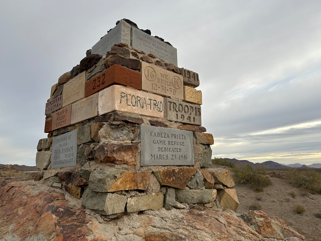
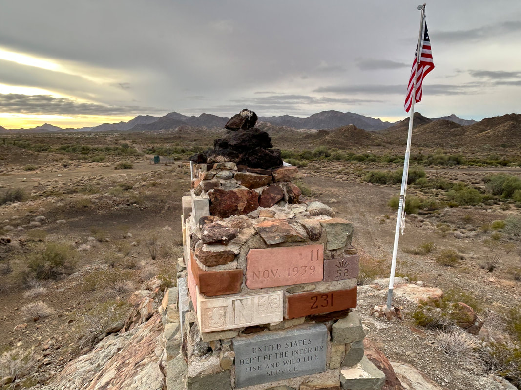
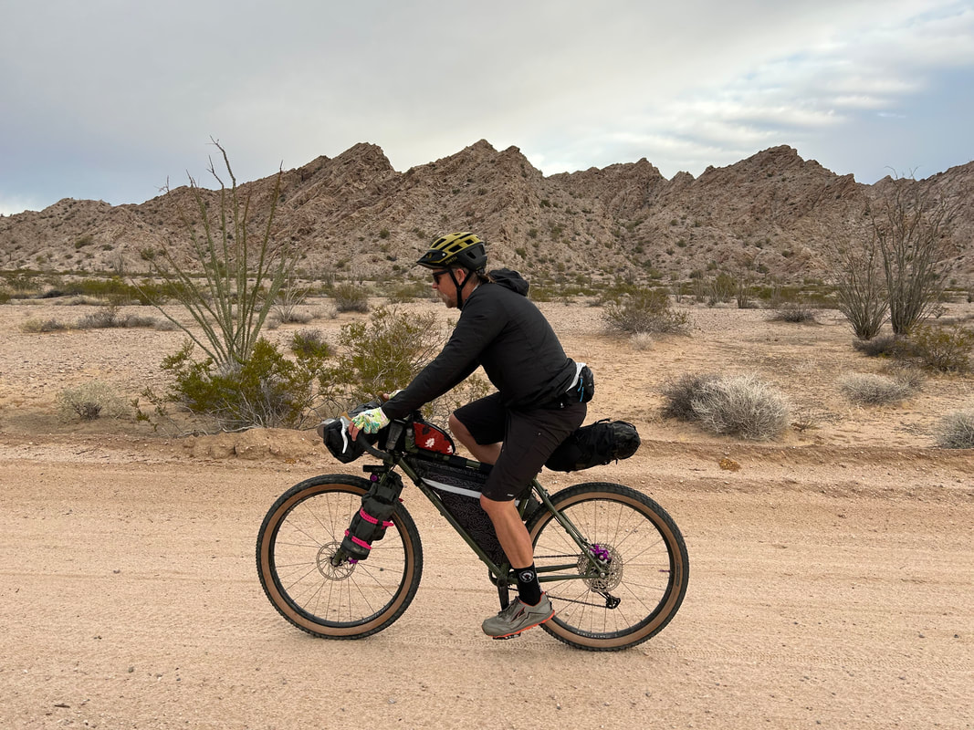
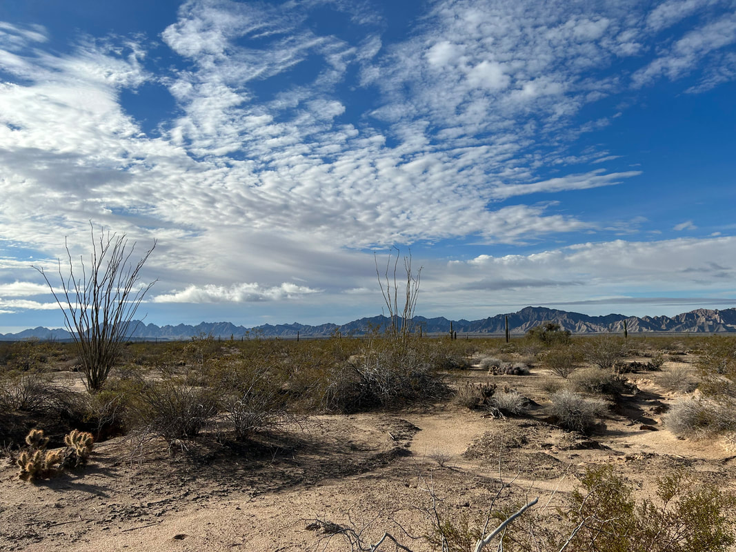
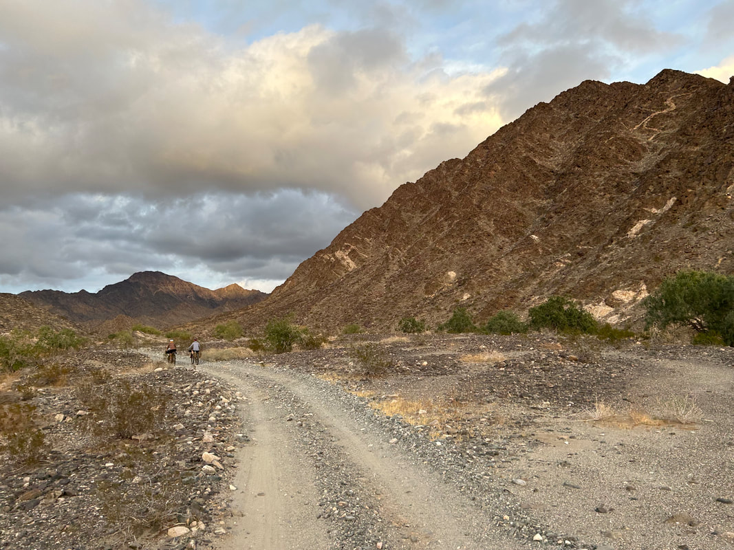
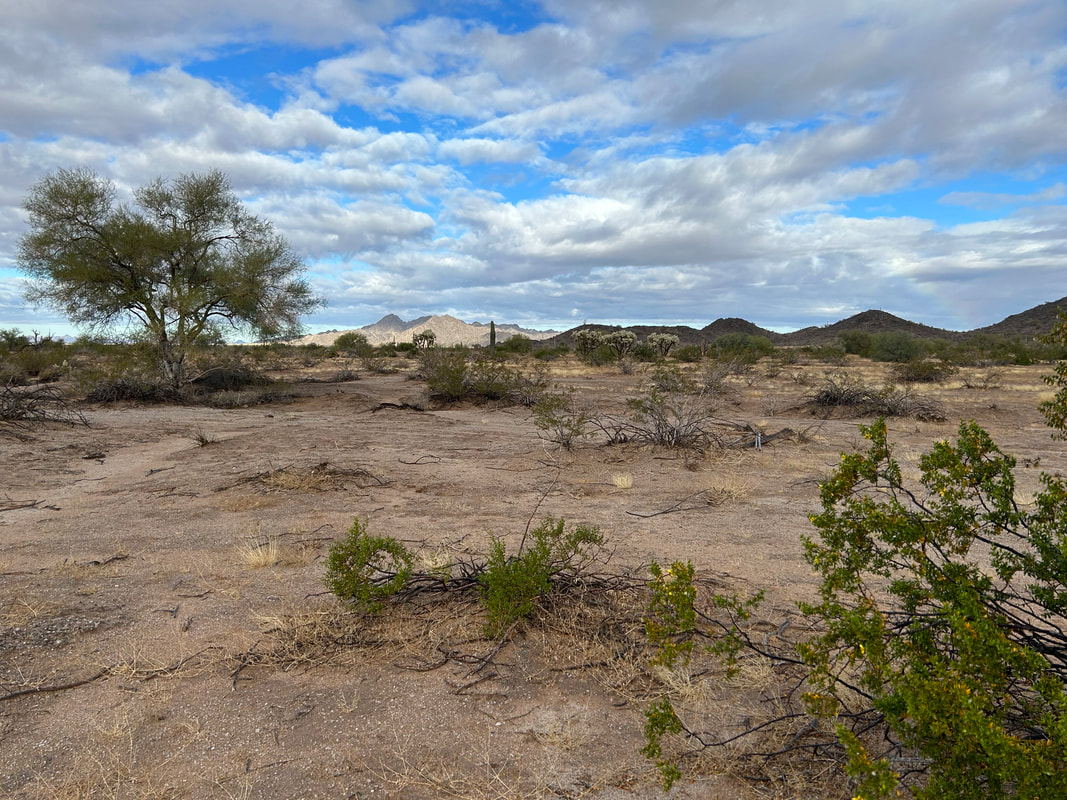
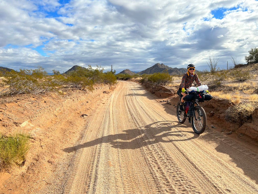
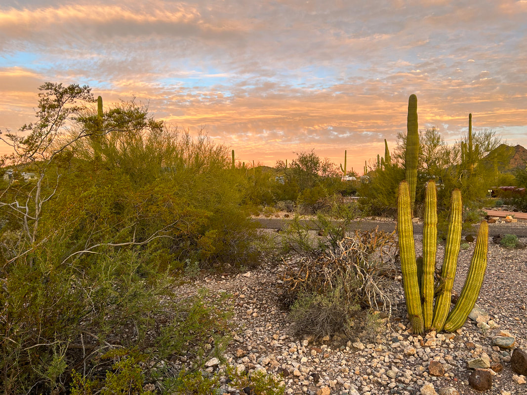
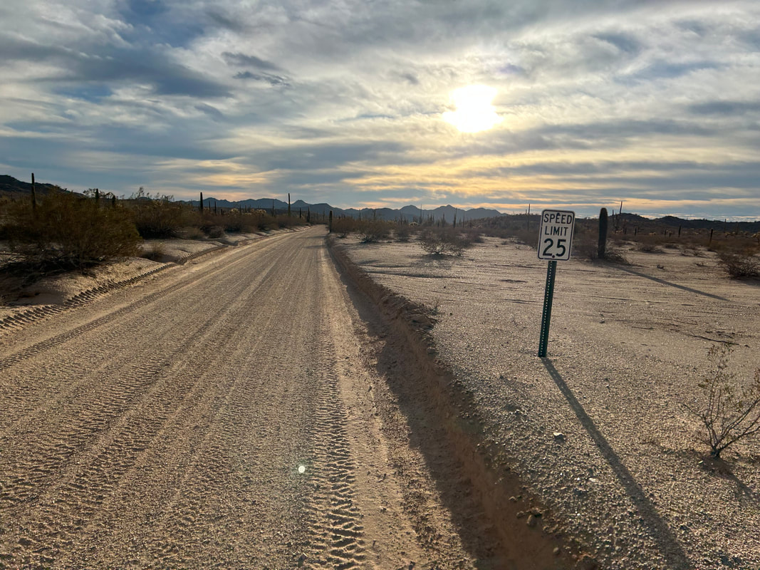
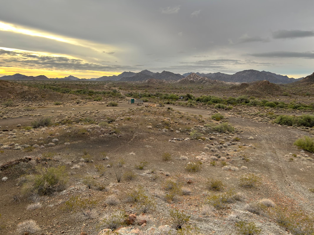
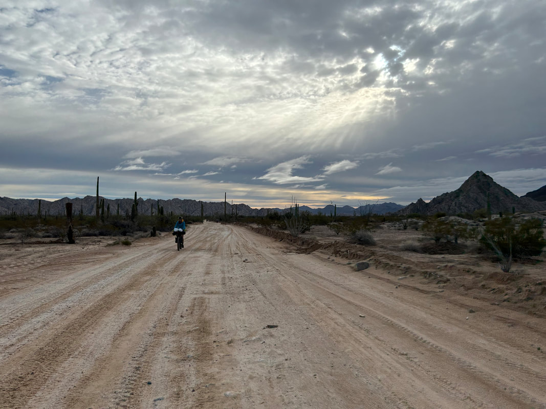
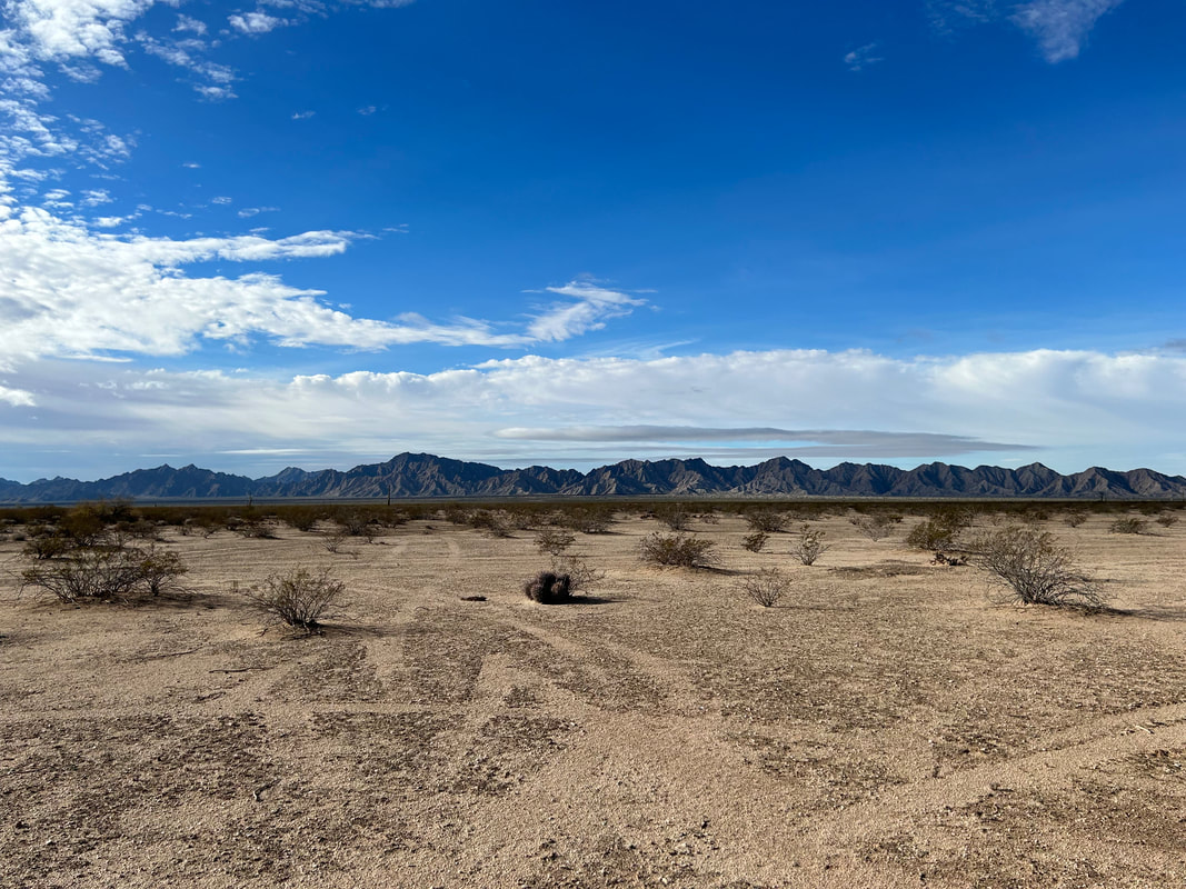
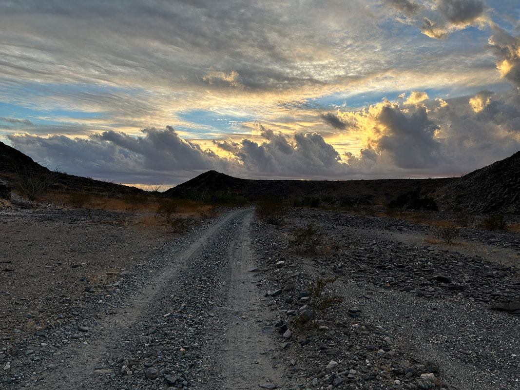
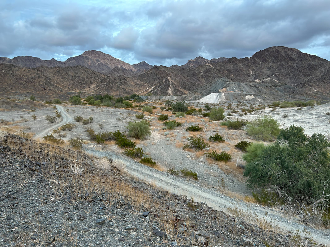
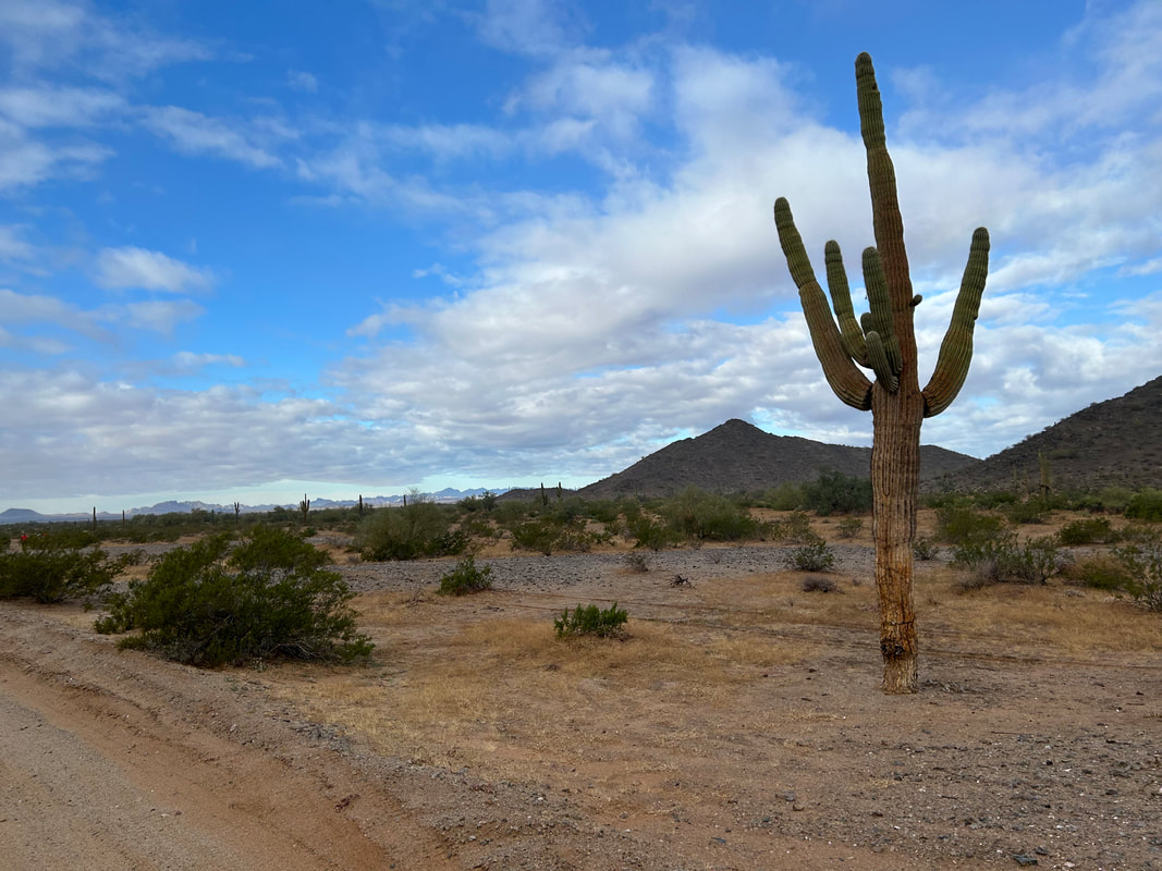
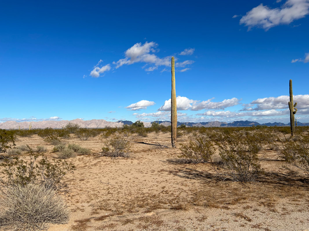
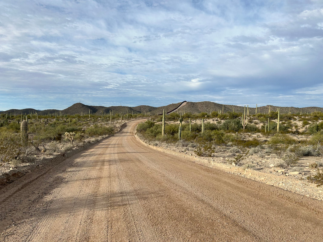
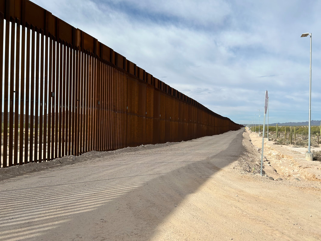
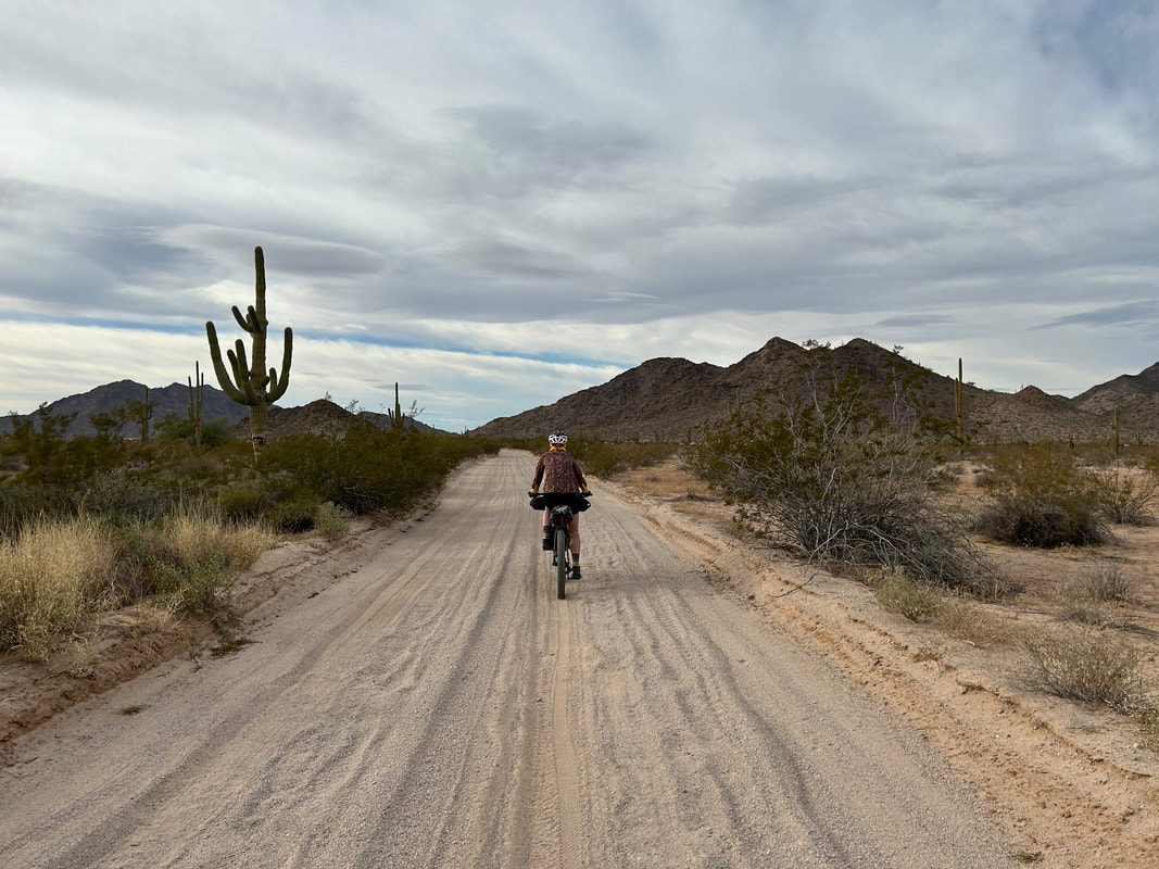
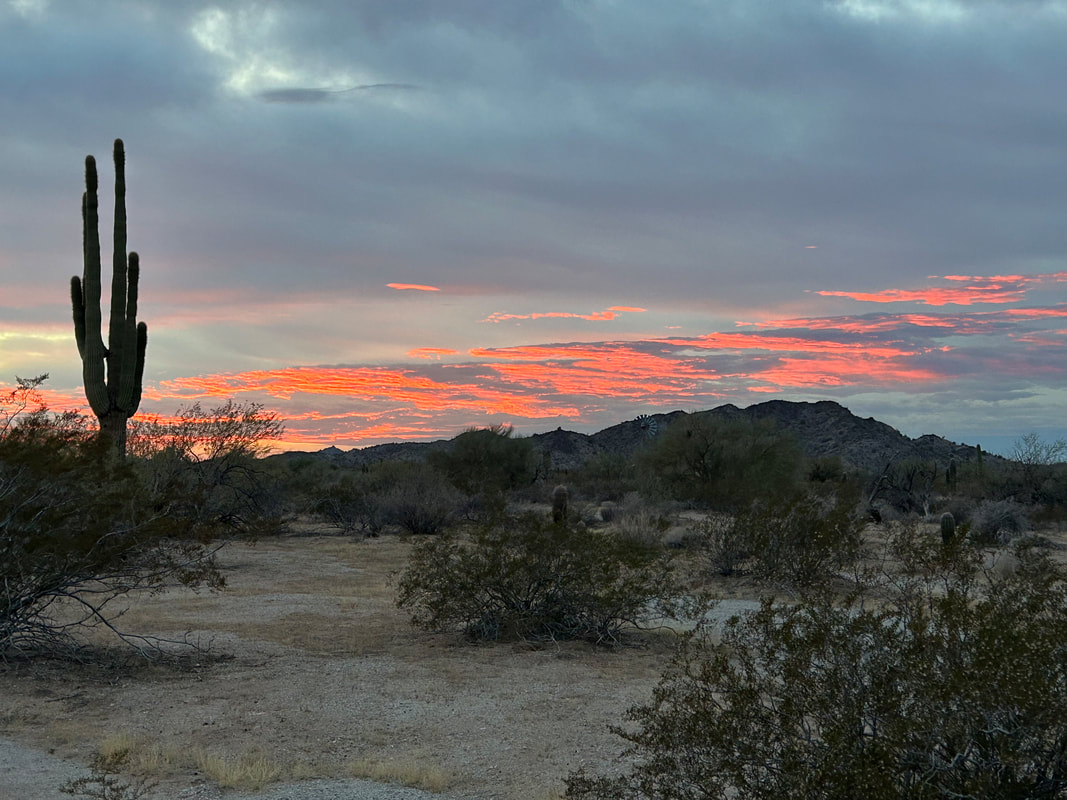
 I slept hard the duration of the night and awoke to an undisturbed campsite. No sooner had I had exited my shelter than a spit of fiery halo thrust up the eastern horizon as a coalbed of Sun rose through the rainy clouds that had once again gathered in the night. I stood shaking condensation off my body in desert-humid morning to watch the sunrise with full attention. As the sun's colors faded to the hazy-gray of shrouded morning, I walked over and climbed up the adjoining hill to investigate the small cairn tower memorial. I found a hodgepodge of granite and marble slabs commemorating various groups who undoubtedly helped contribute to the Cabeze Prieta in some way. I descended, helped to pack up camp, and we rolled out into the Tule Mountains. The cloud cover was low, gray, monotonous, and hit the lip of the horizon. Our last glimpse of the border wall stretched out to our lefts as the El Camino del Diablo became a wide and graded road complete with mile markers - a remnant of construction work from the Trump presidency. Suddenly, with the rising Sun at our eastern backs, its light angled through a gap in the cloud cover lighting up distant peaks in brilliant white and gold. I pulled up to a wash where a stash of brittlebush sat blooming in the late December warmth, water, and light. The opposing ridgy-slabs of the Tule Mountains glowed with Sun in alternating stripes of day and night. The mountains ahead plunged back into shade as we pressed on, rounded the Tules, and approached the spreading blue of cloud-end. 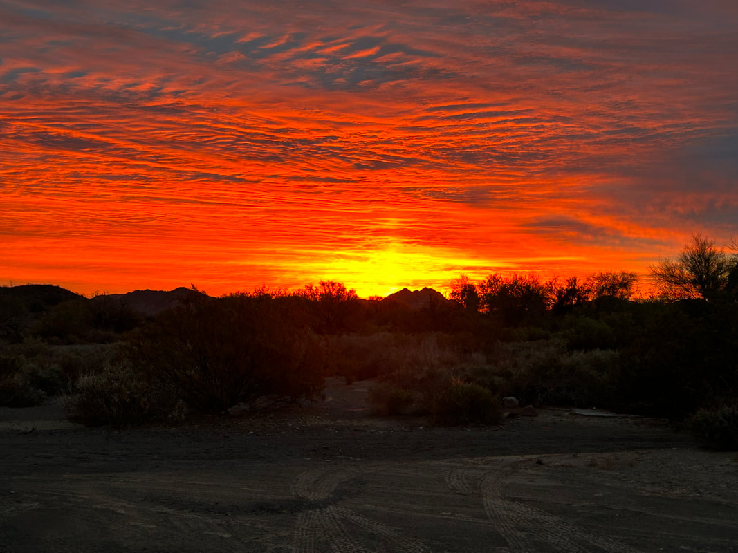
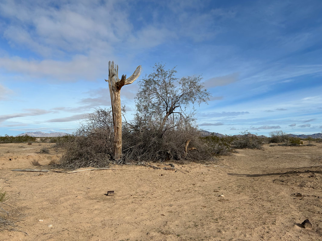
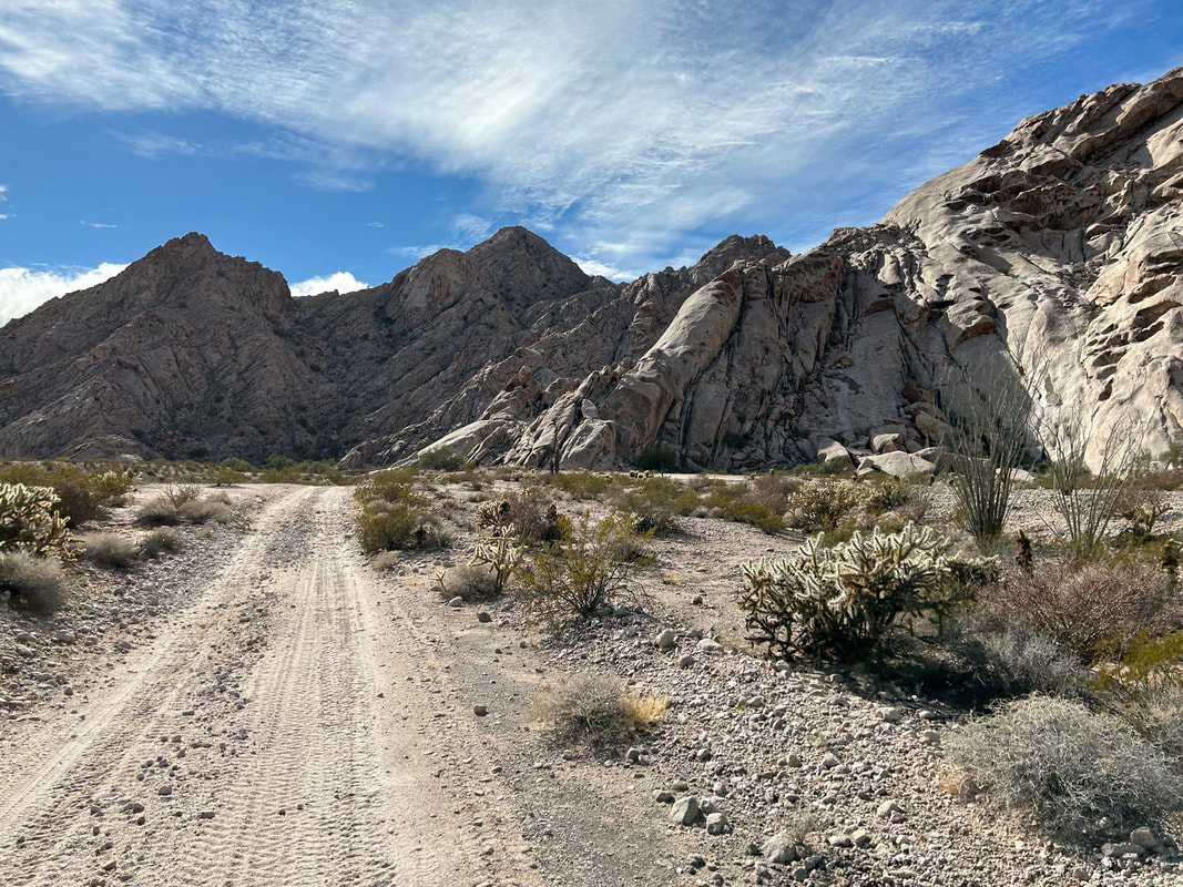
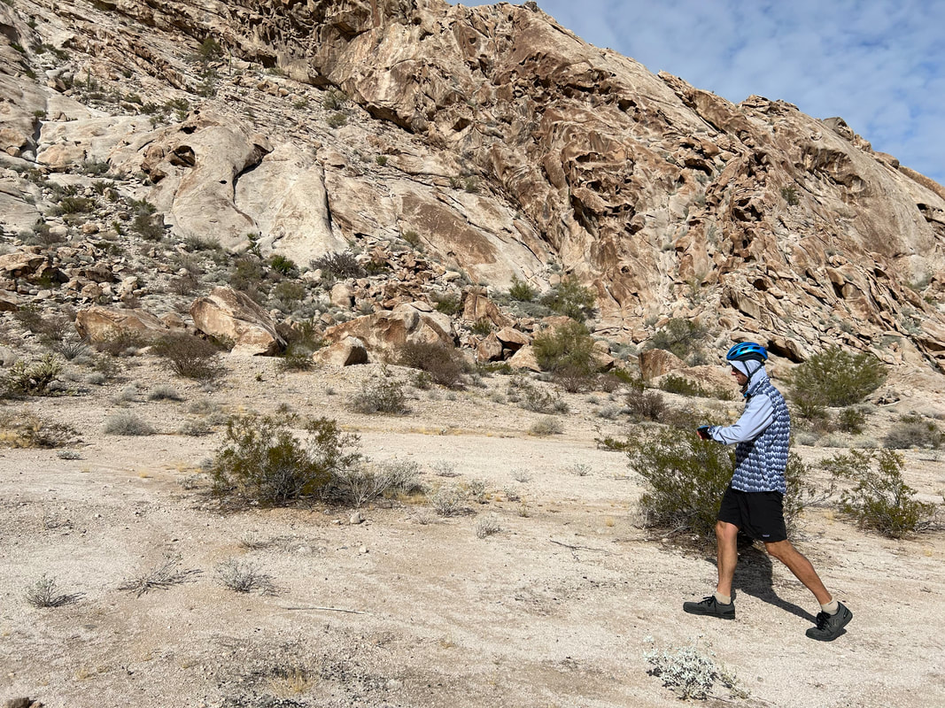
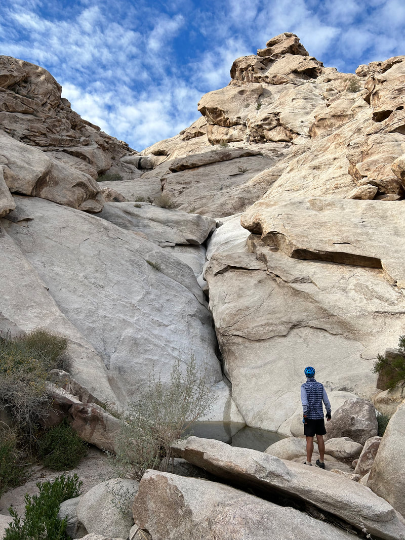
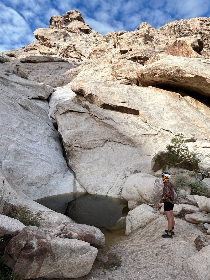
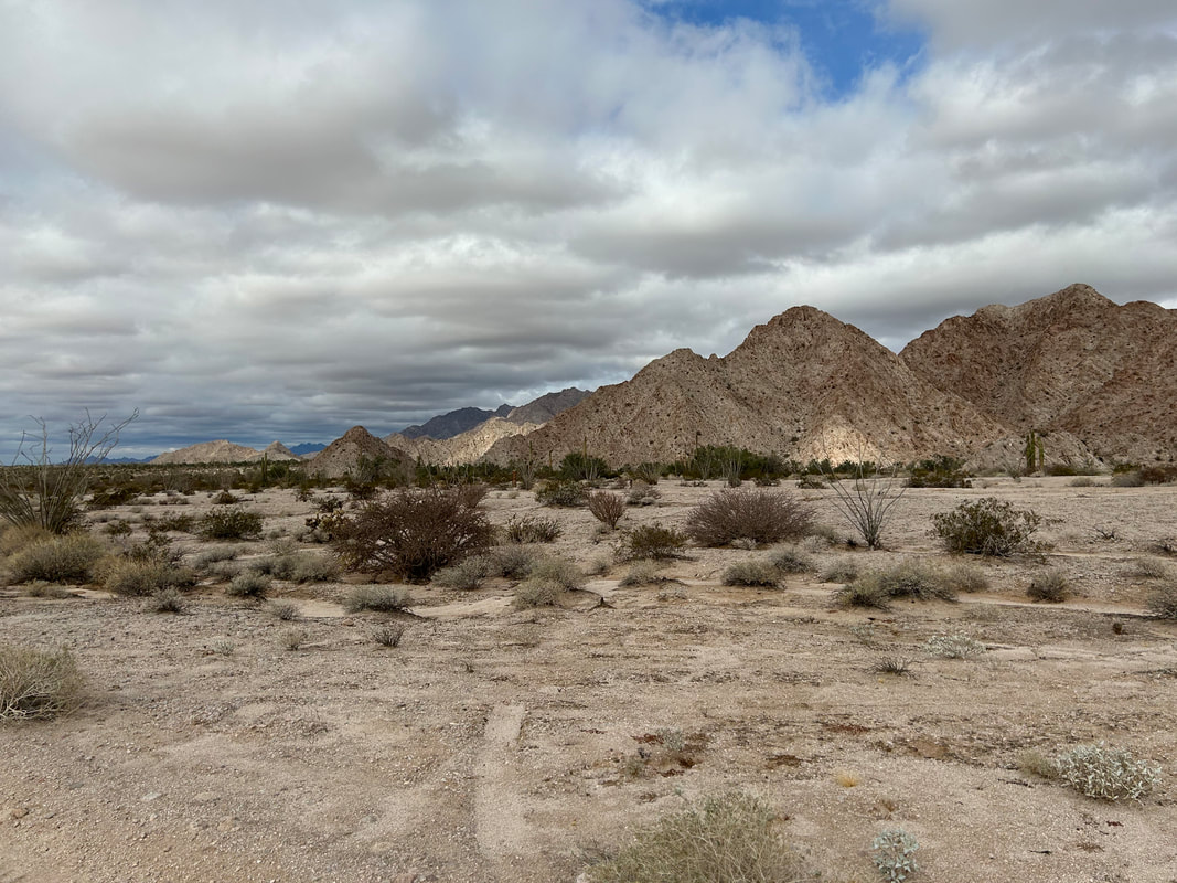
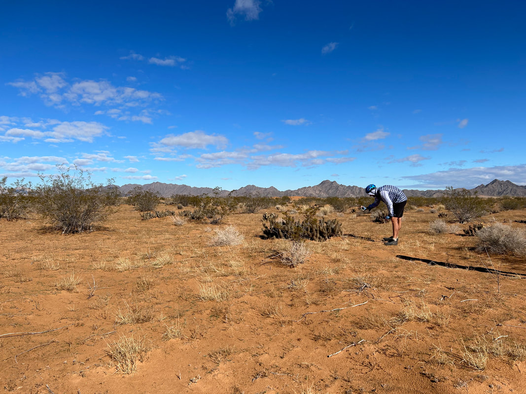
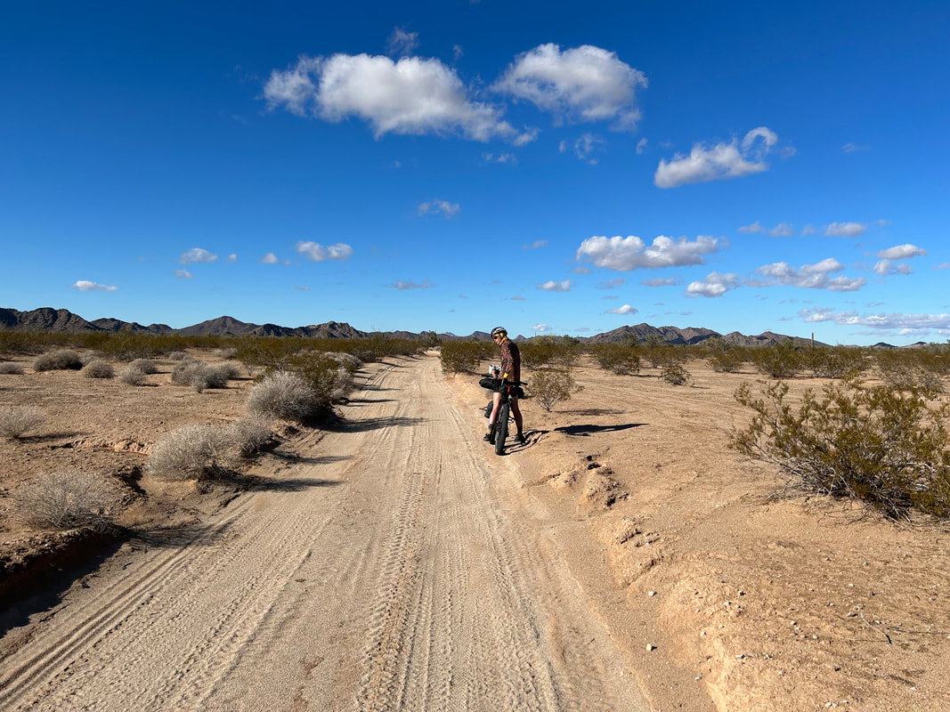
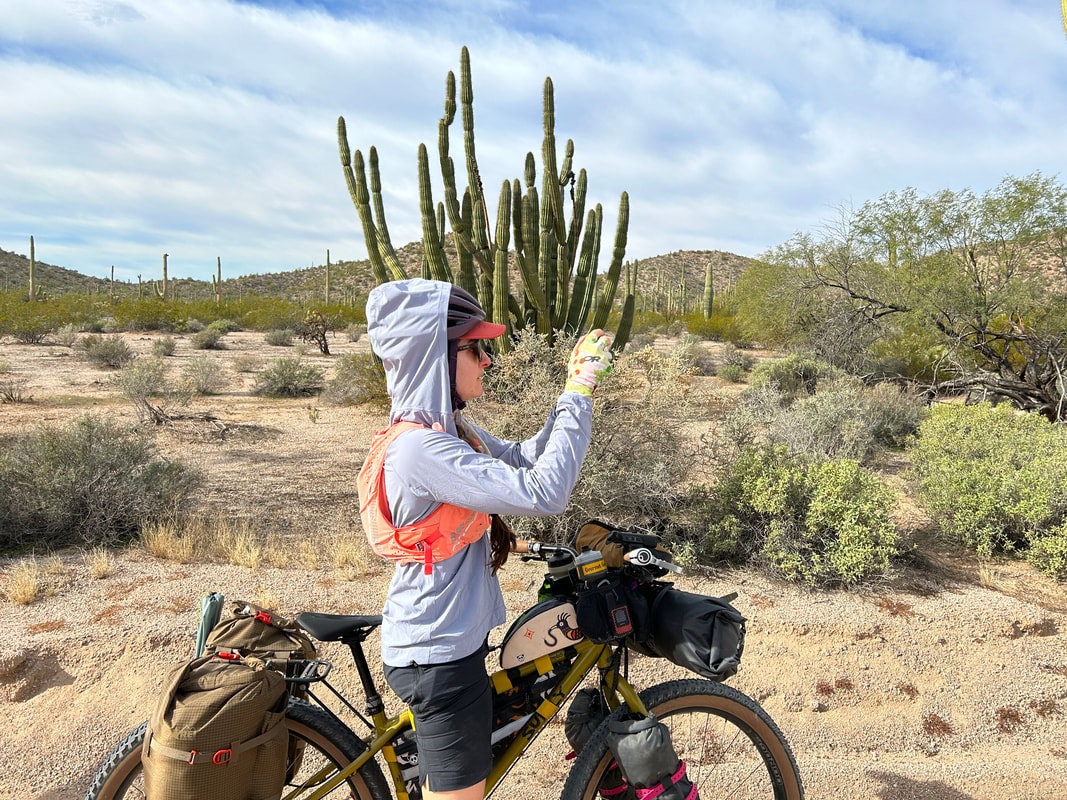
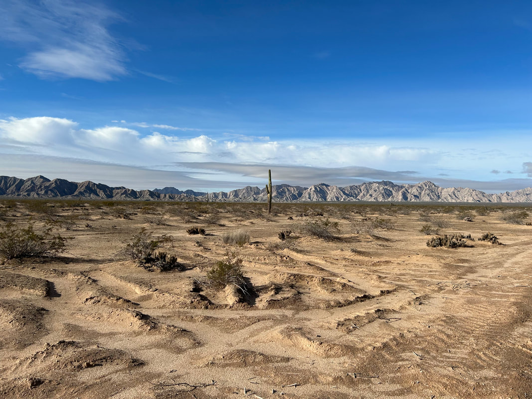
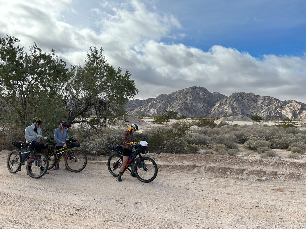
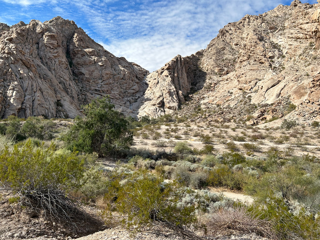
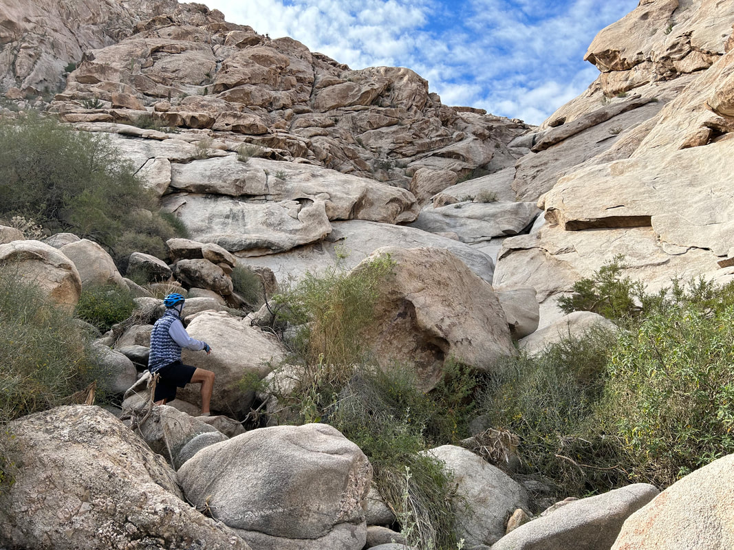
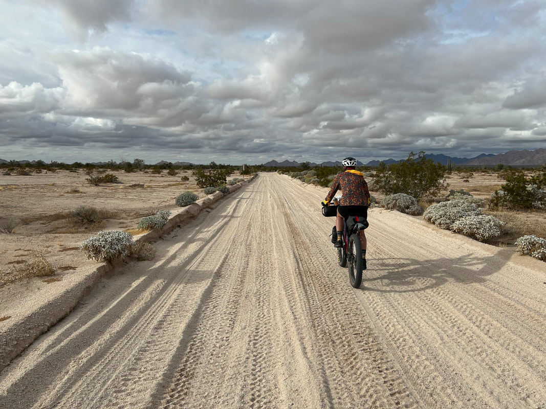
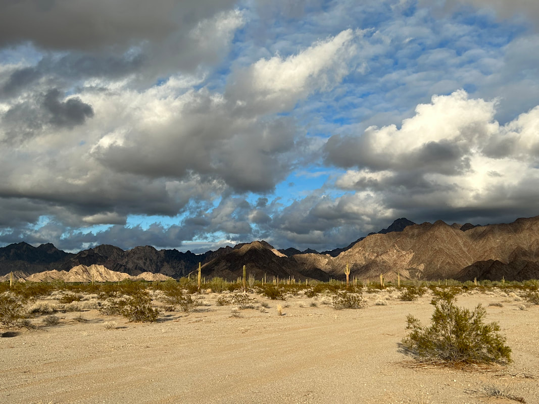
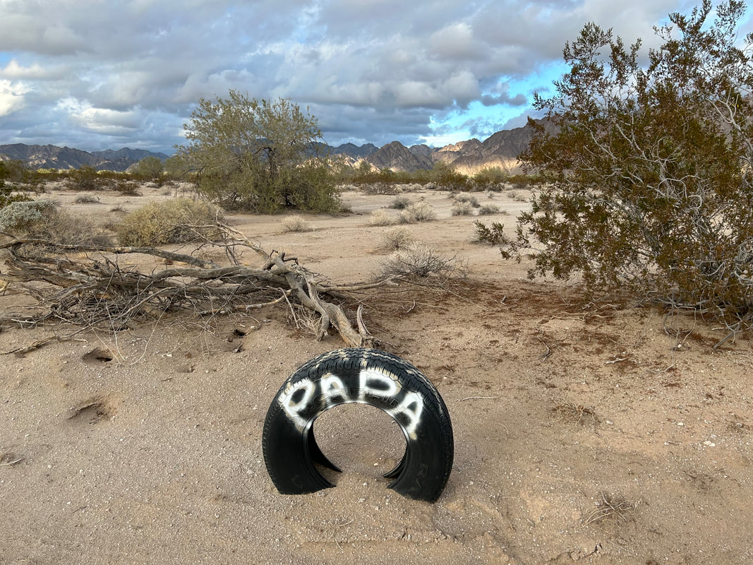
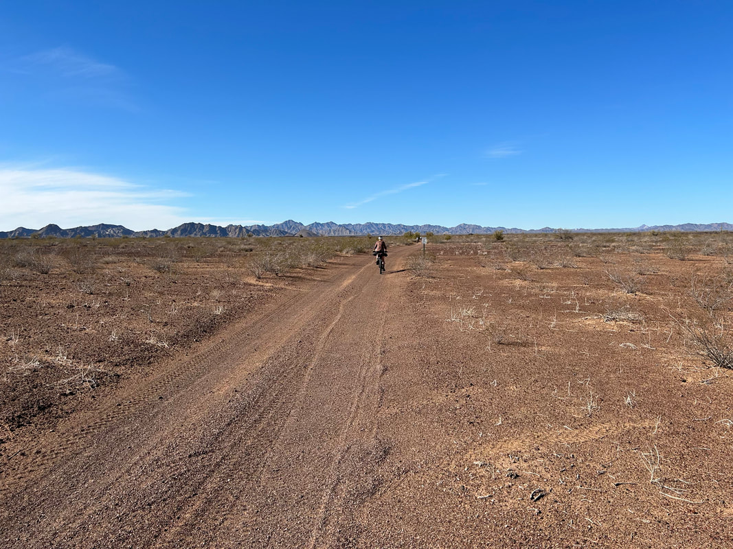
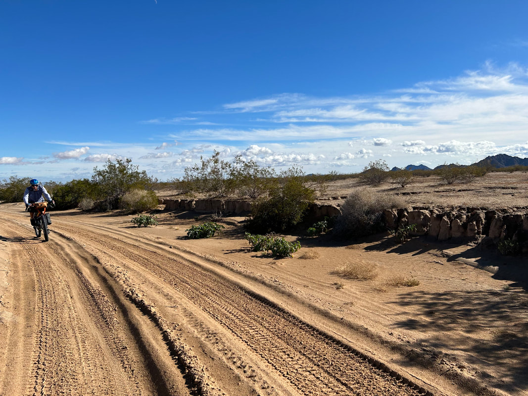
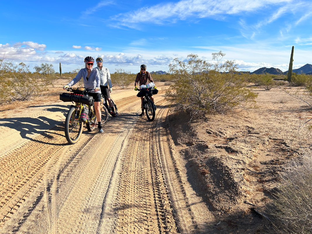
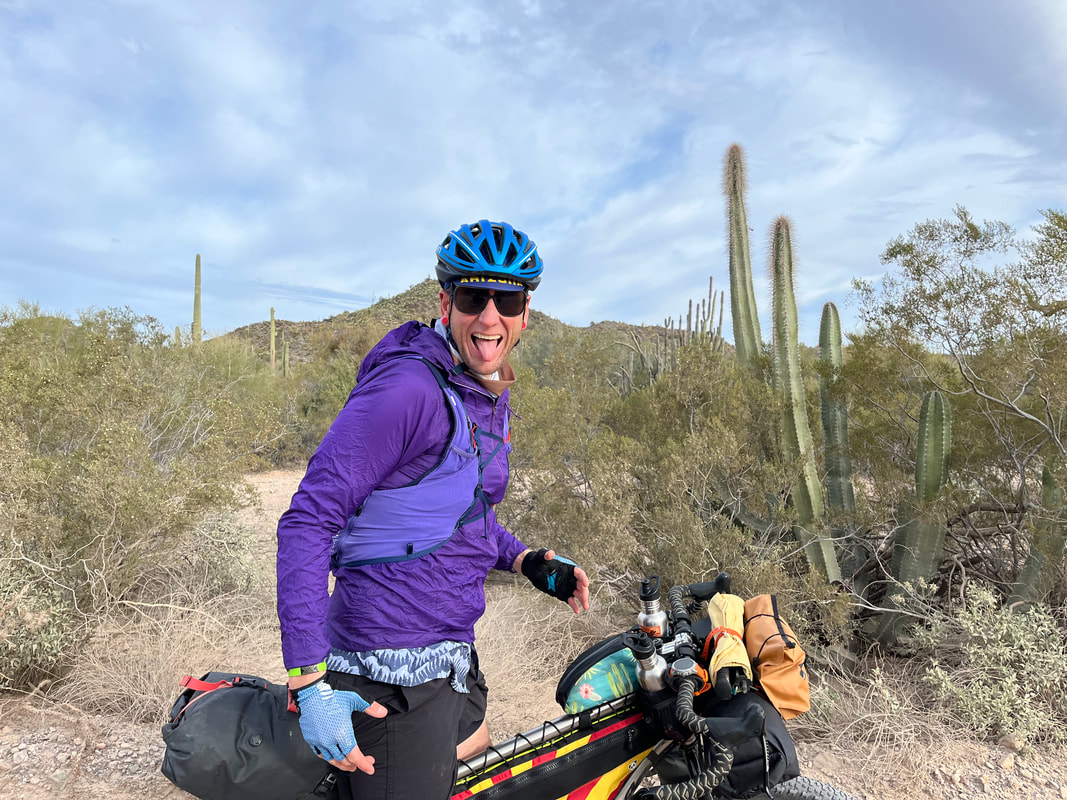
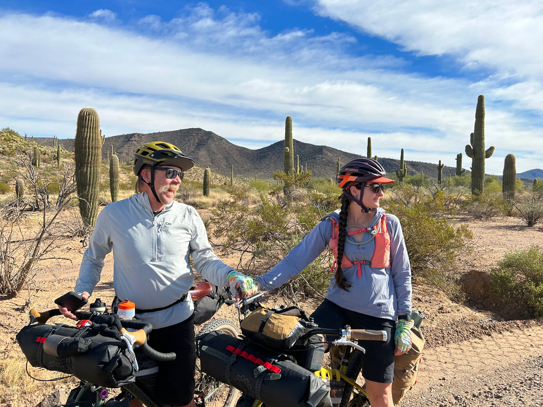
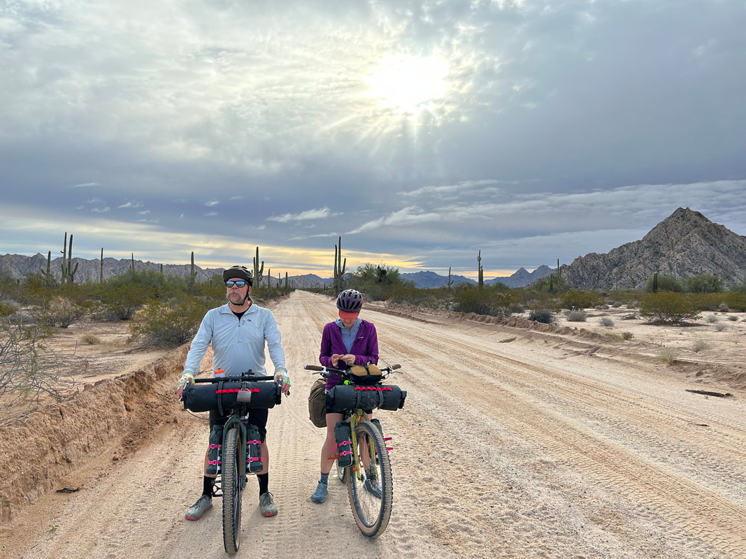 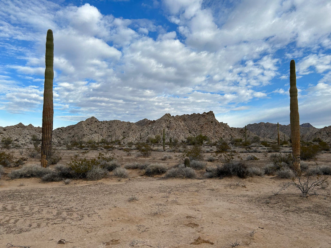  A large group of overlanding vehicles stopped to talk to us, coming from the opposite direction. They reported copious sand ahead but were jaw agape hearing that we were making our way to Yuma today. As one guy said, "I thought you were tough, but not nearly as tough as I now think you are!" Razzed up on these compliments of what and where we were riding, I sped off to the end of the mountain range and the open Lechuguilla Desert ahead. Here, blue skies stretched beyond the wall of cloud settled over the peaks where we had spent the night. A tailwind caught our backs and pushed us down the gentle decline into the open playa. The road sand was packed and wet from the rain. Our speed was strong, the terrain solid, and the views became expansive and mesmerizing. Ahead, the Tinajas Altas began as a small wall that grew to a well-lit backlit range drawing the eye ever to their peaks. Their flanks were lit golden-white in the Sun now brimming over the plains. Stately ocotillo, small saguaro stands, and evenly spaced creosote provided vegetative cover to the smooth horizon of desert-earth. And suddenly, we were at the flanks of the Tinajas Altas. They were pocked, smooth, cave-filled, and gorgeous. The four of us agreed that they seemed visually similar to Joshua Tree National Park. We passed a makeshift effigy-memorial to the military before turning west to enter the Tinajas Pass. Here, Dan and Kate stopped to make a cooked mid-day meal. Janna and I took a side trip down to the "High Tanks" of the Tijanas Altas. These large potholes of water were (and still are) an incredibly important reliable water source for travelers on their route. Many a person has (and still do) count their survival on climbing up the rocks and finding the plunge-pools set in stairs down an inward fold of these mountains. Janna and I stashed our bikes and scrambled up the side of the mountain to the bottom and first of these pools. It was dramatically full from the recent rains and stained with the tannins of gathered plants. Impressed, we headed down, jumped back on our bikes, and made our way back out to Kate and Dan. It turns out Alan (the Jeep guy who camped next to us the previous night) was there with his dog and setup. We all talked for a while before Alan started off towards Yuma. 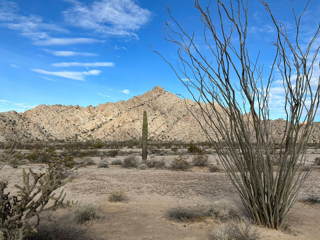 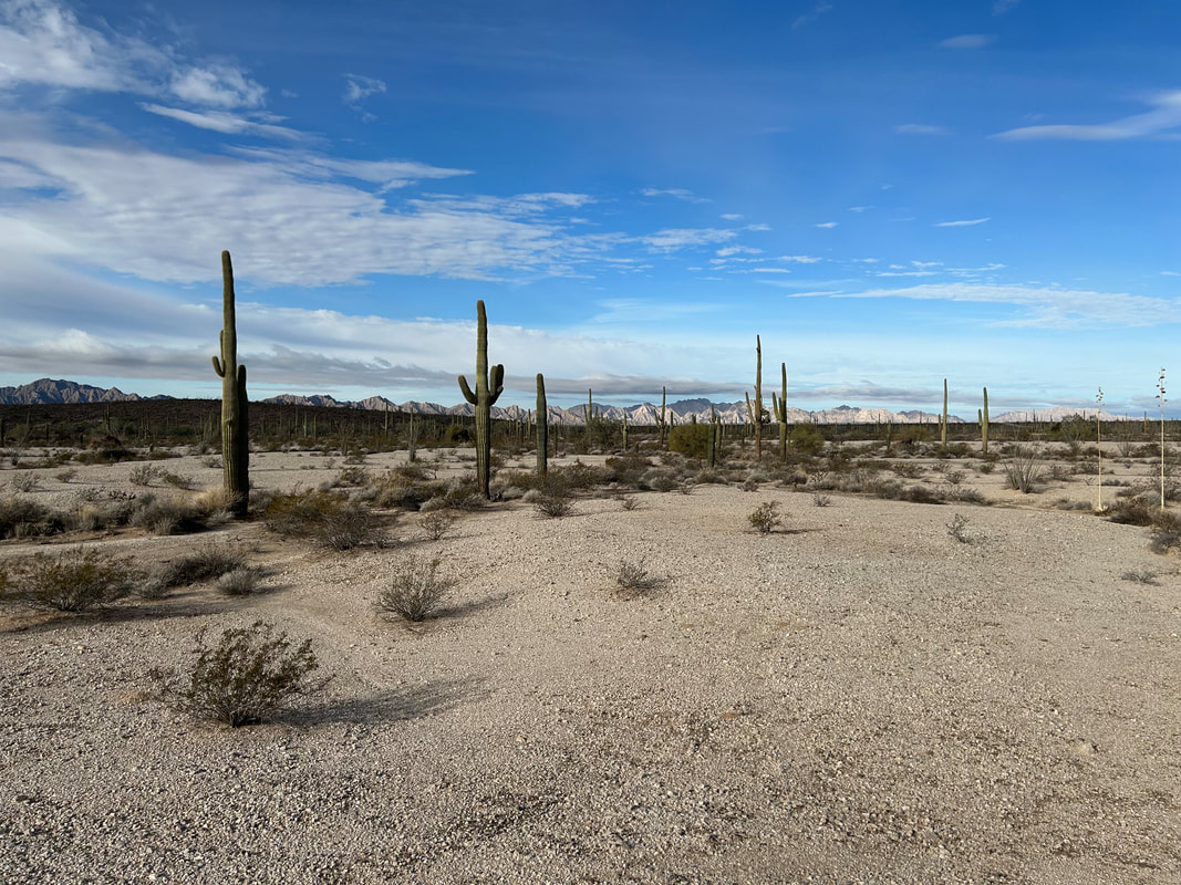 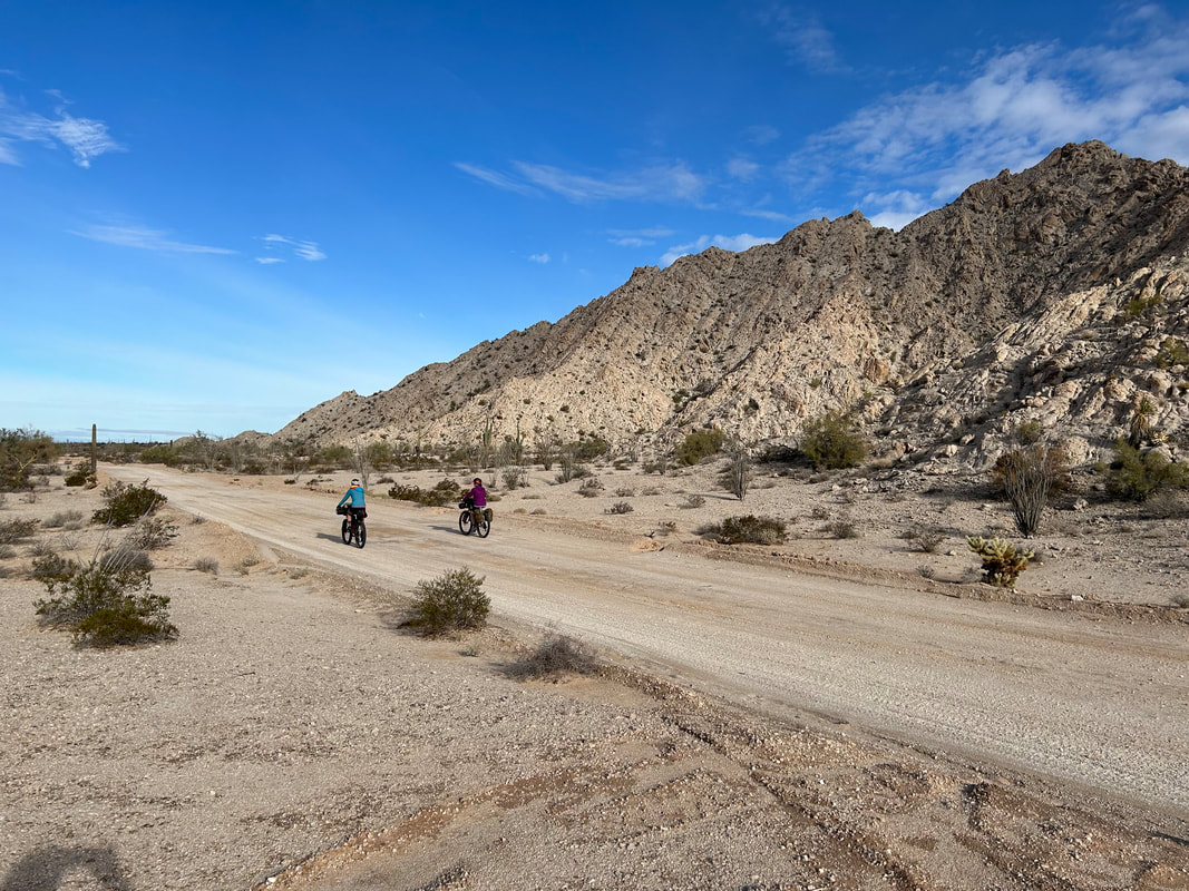
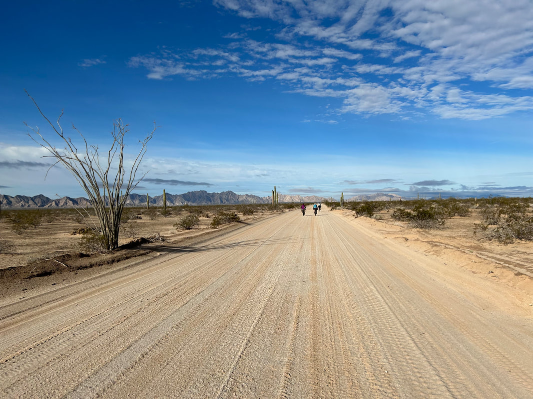  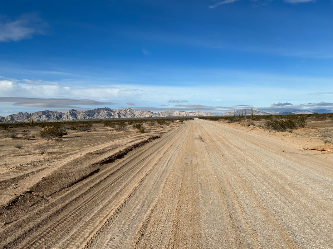  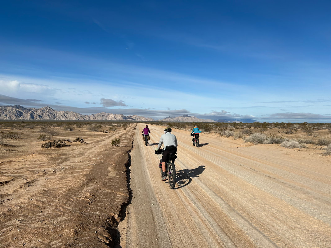 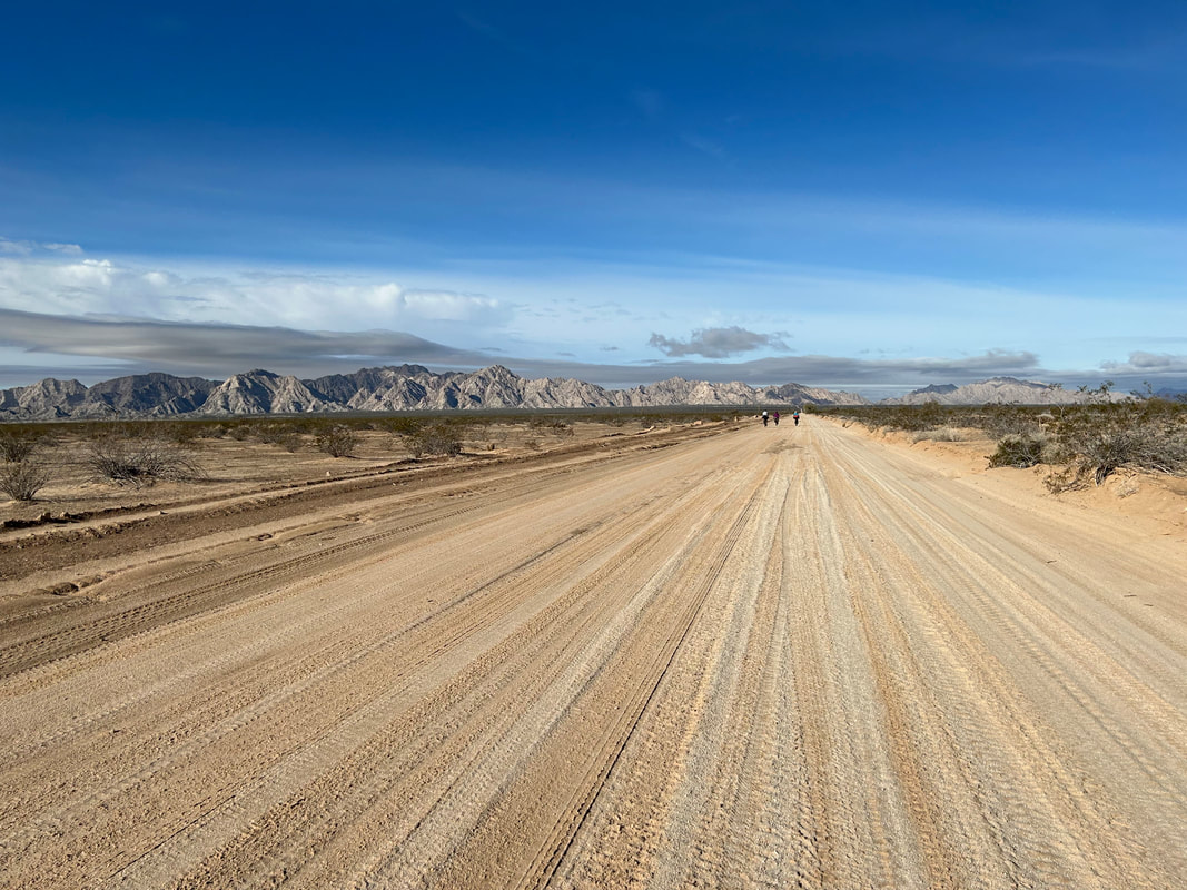 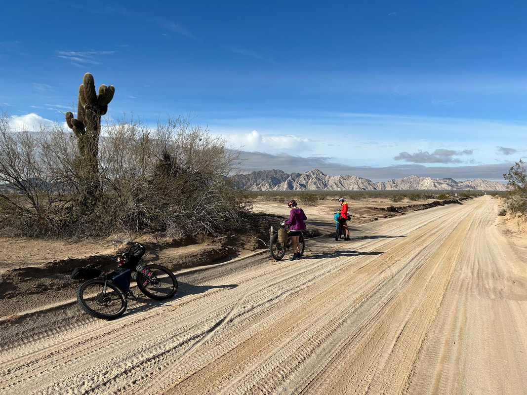
   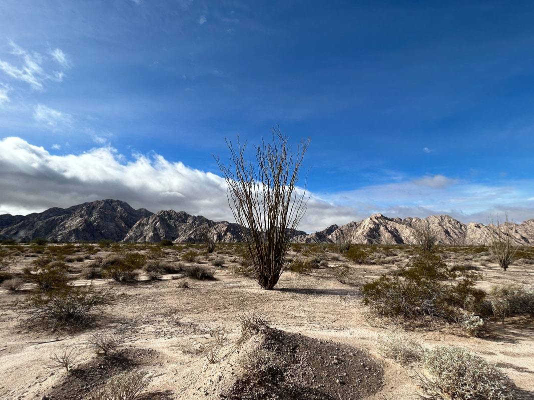
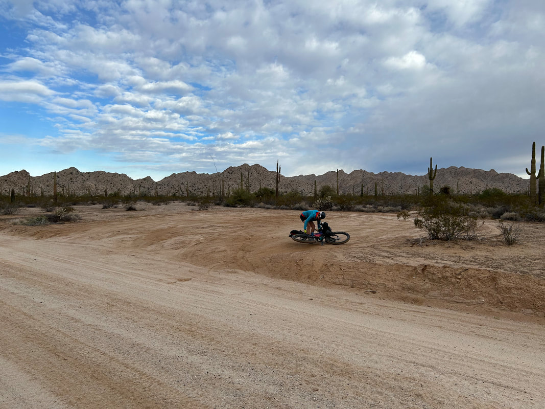
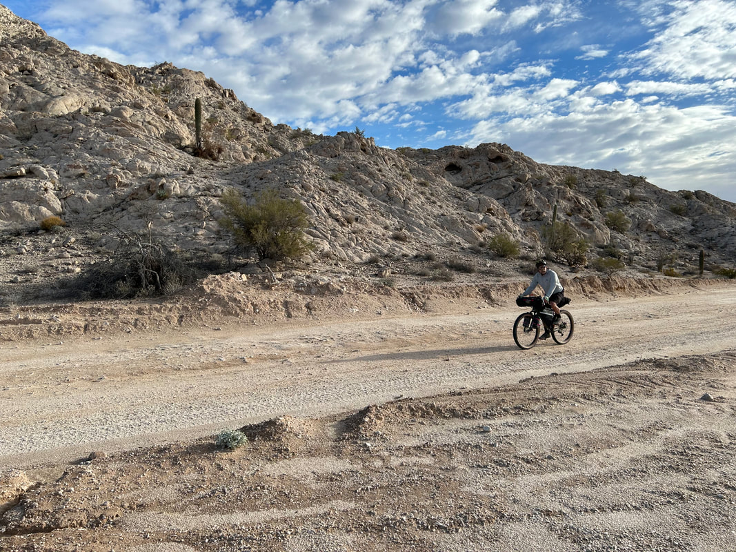
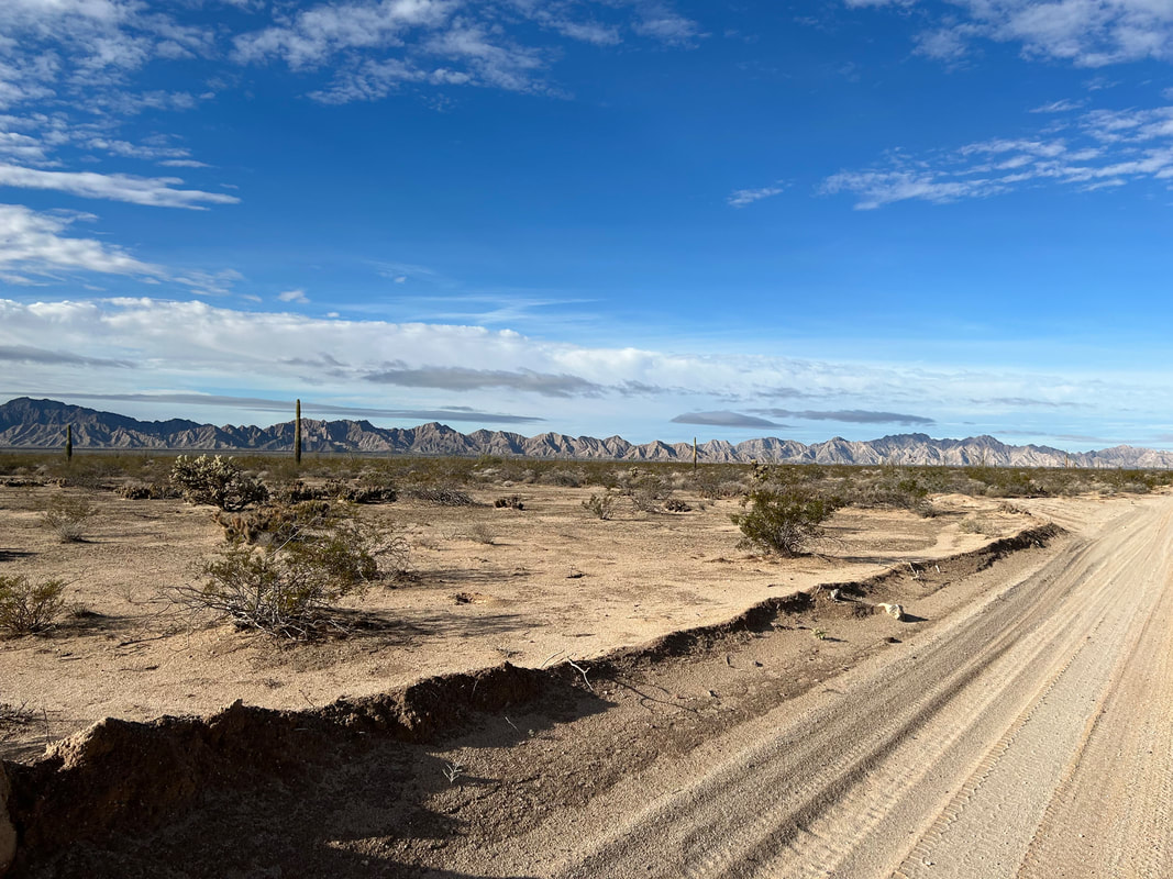
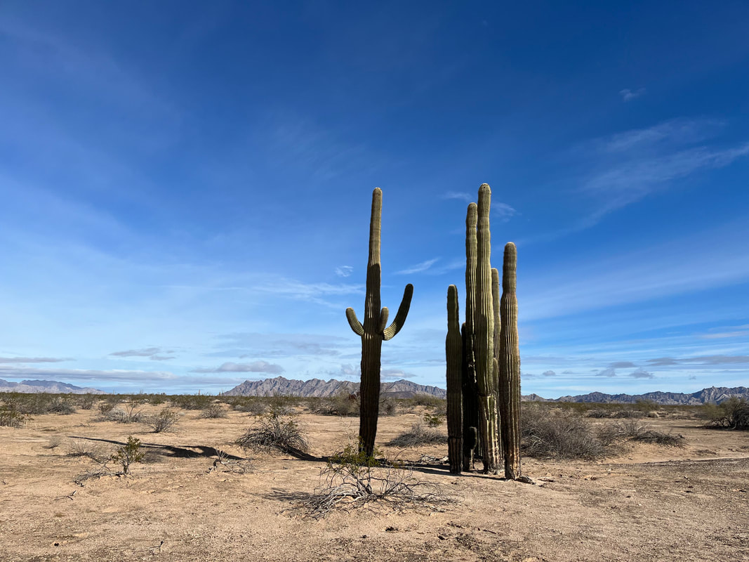
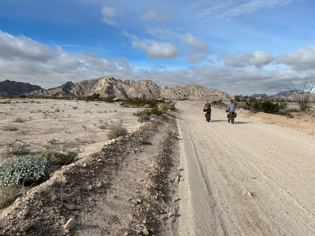
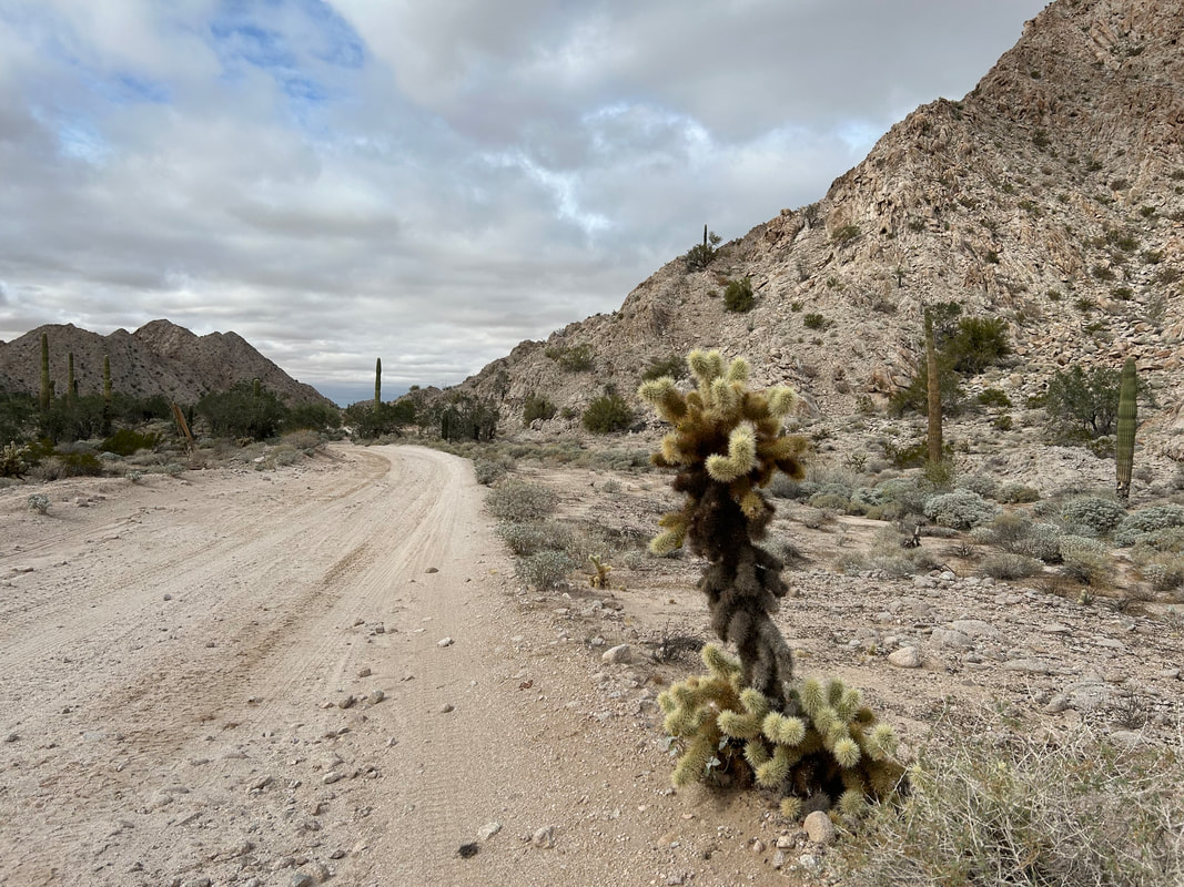
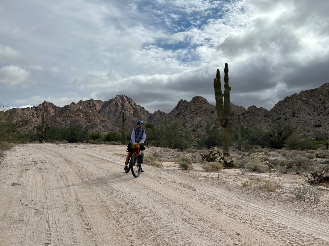
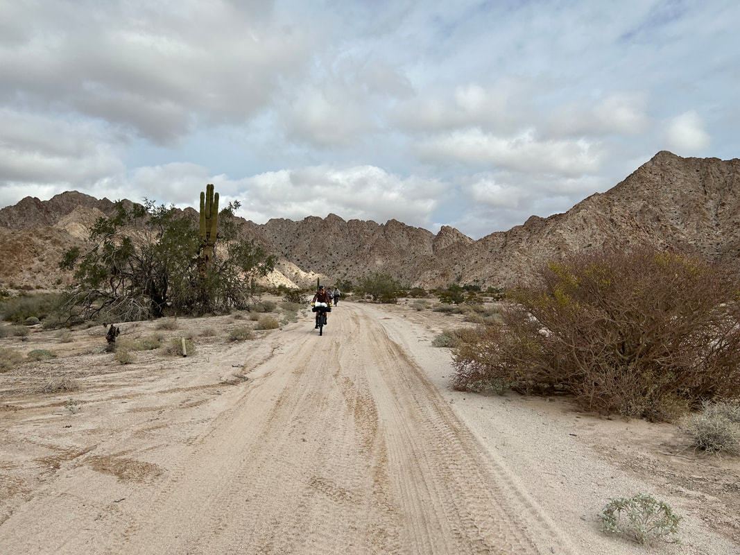
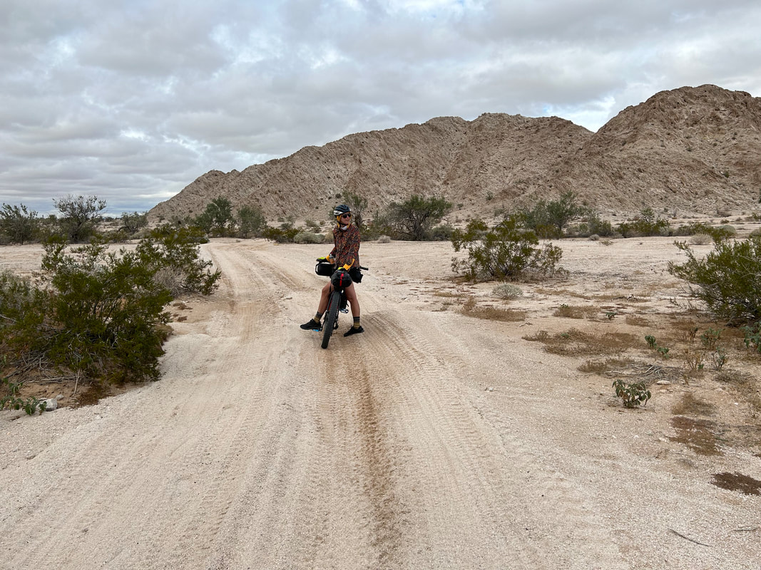
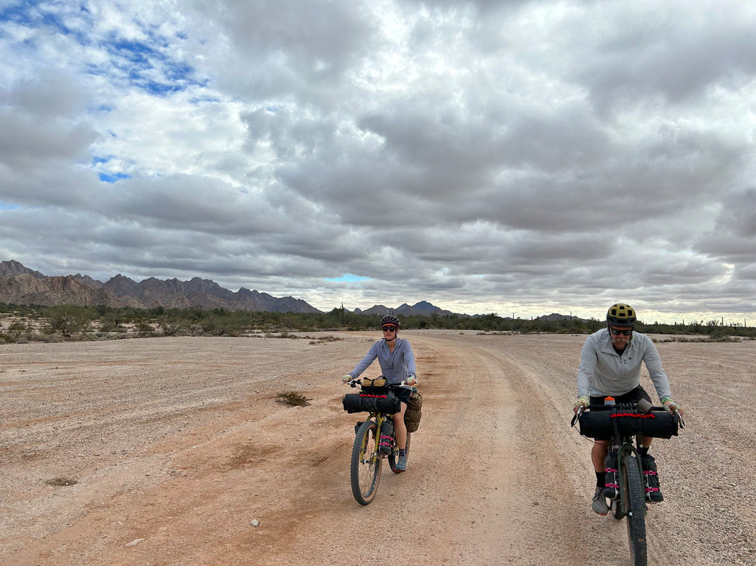
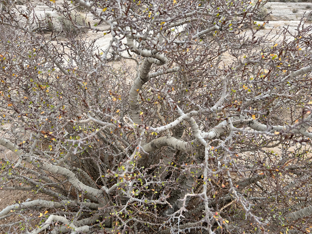
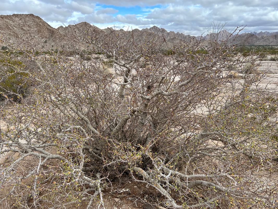
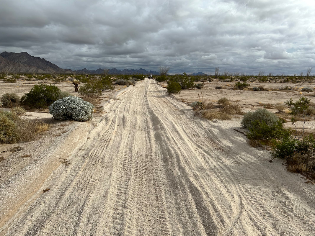
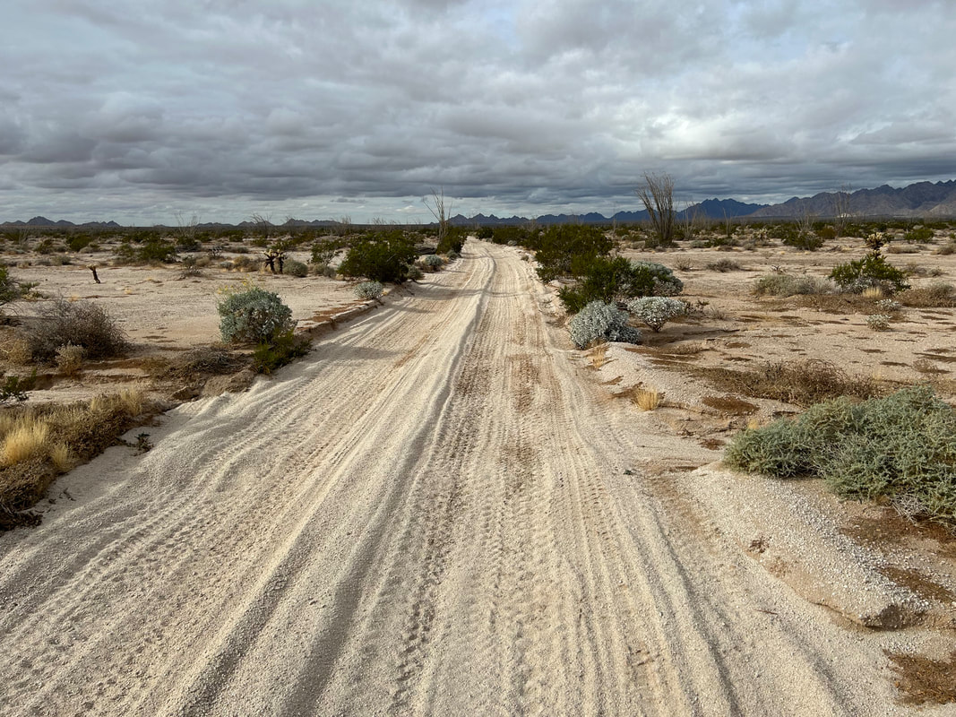
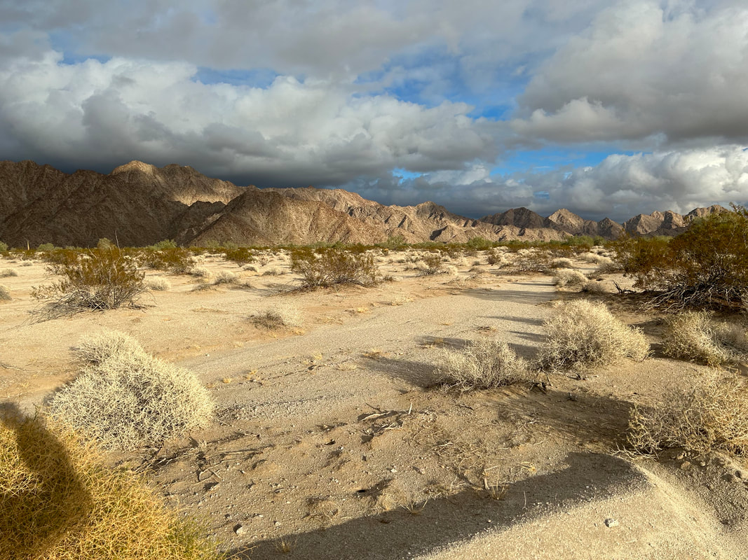
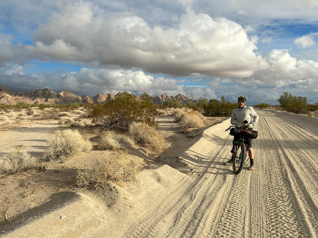
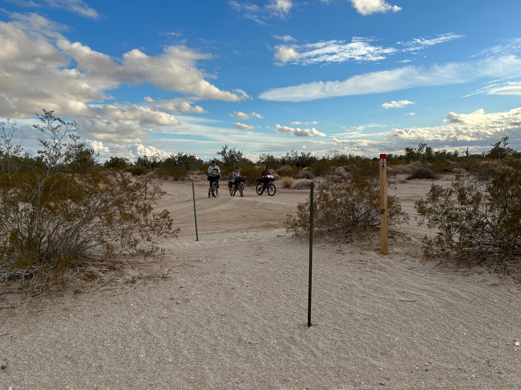
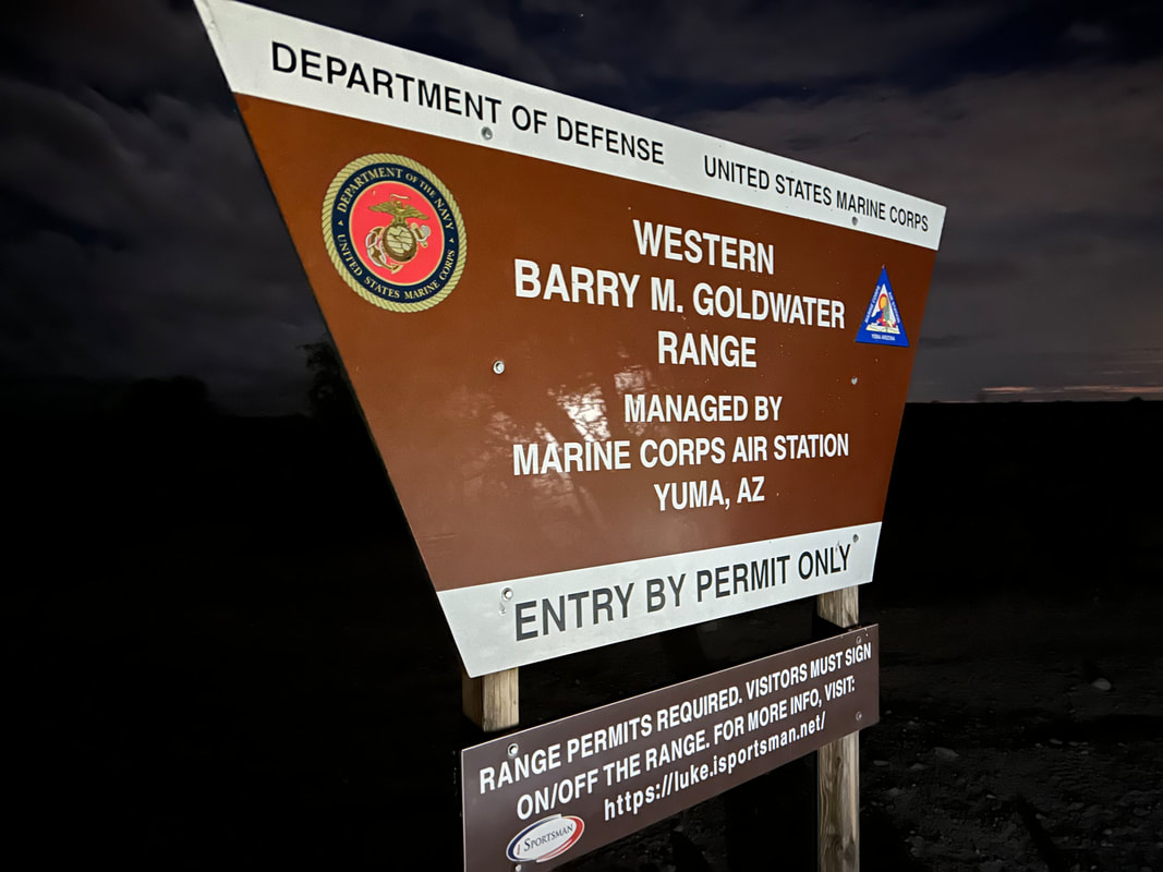
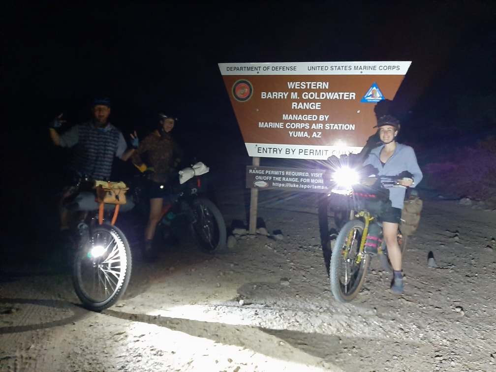
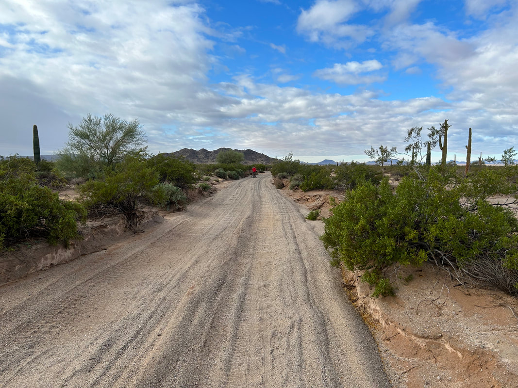
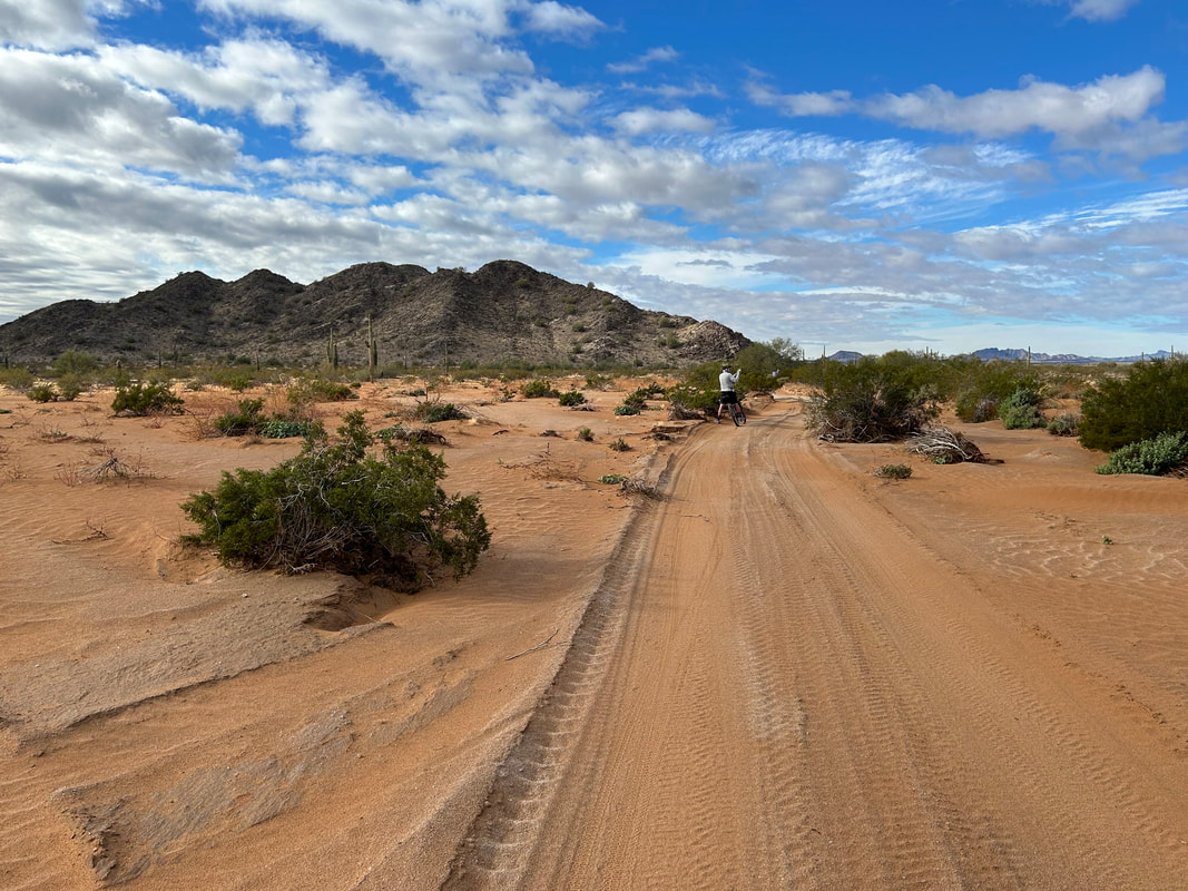
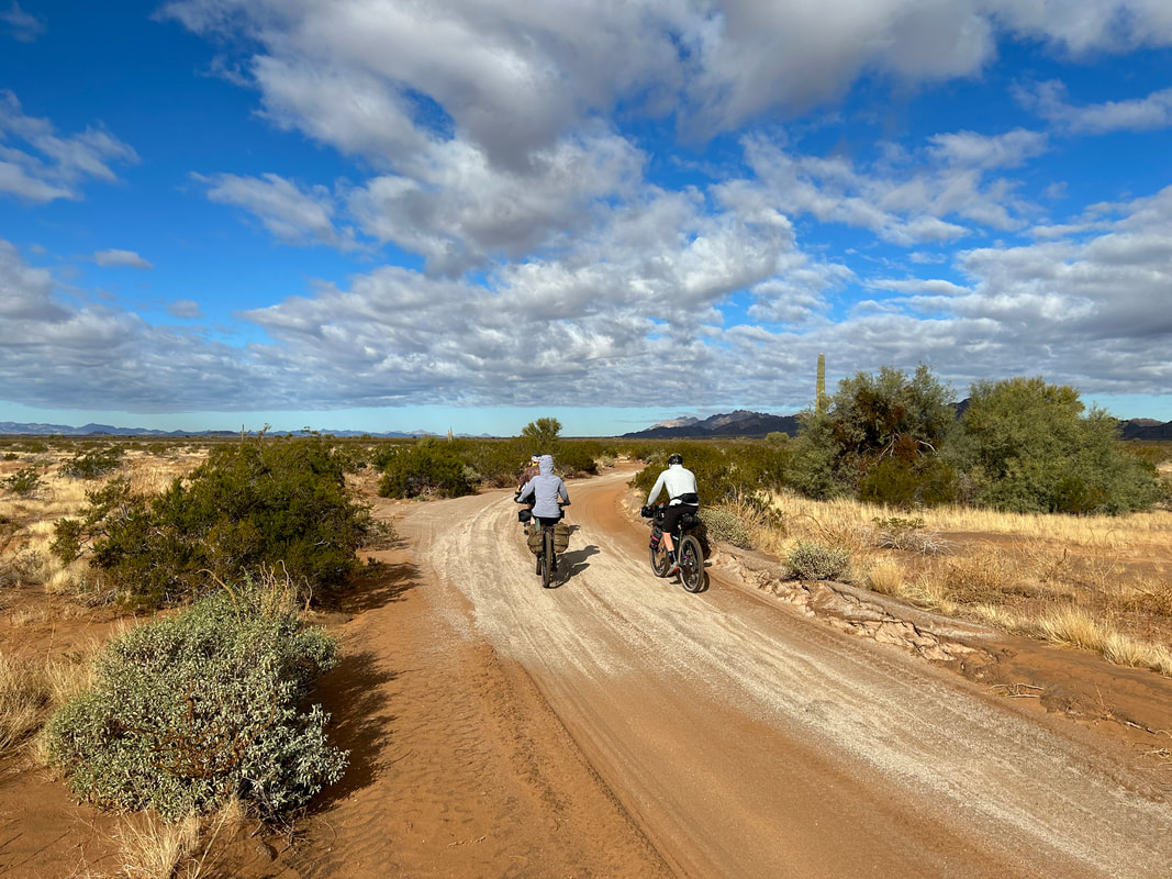
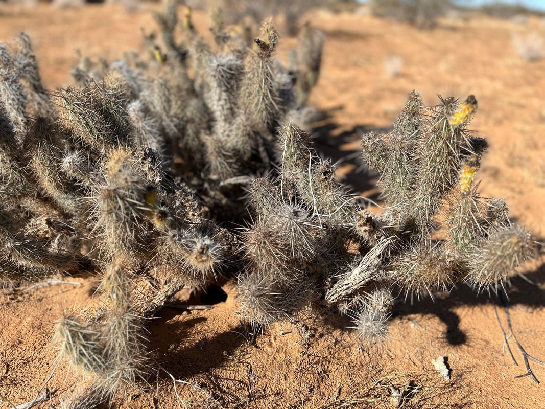
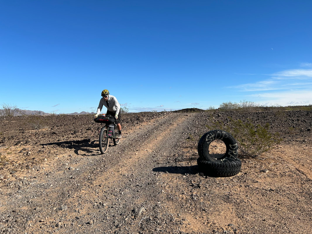
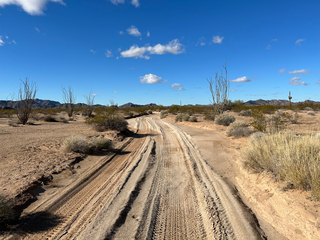
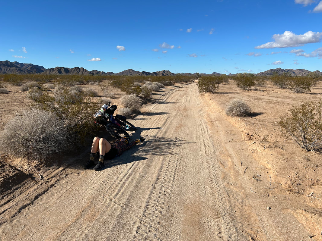
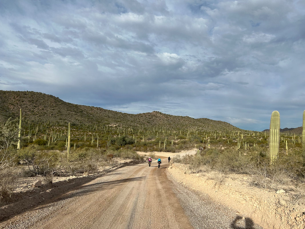
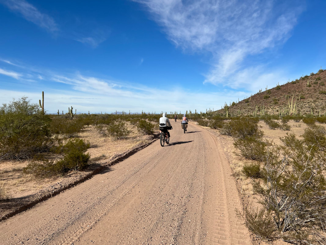
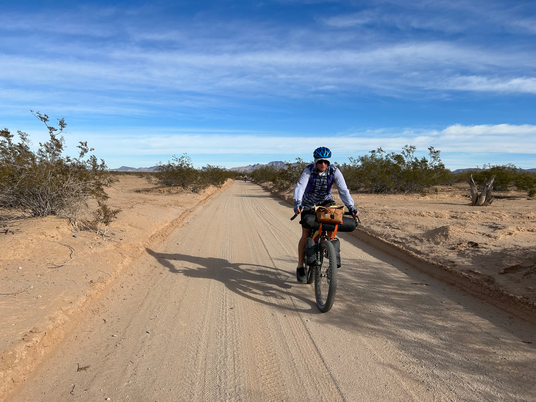
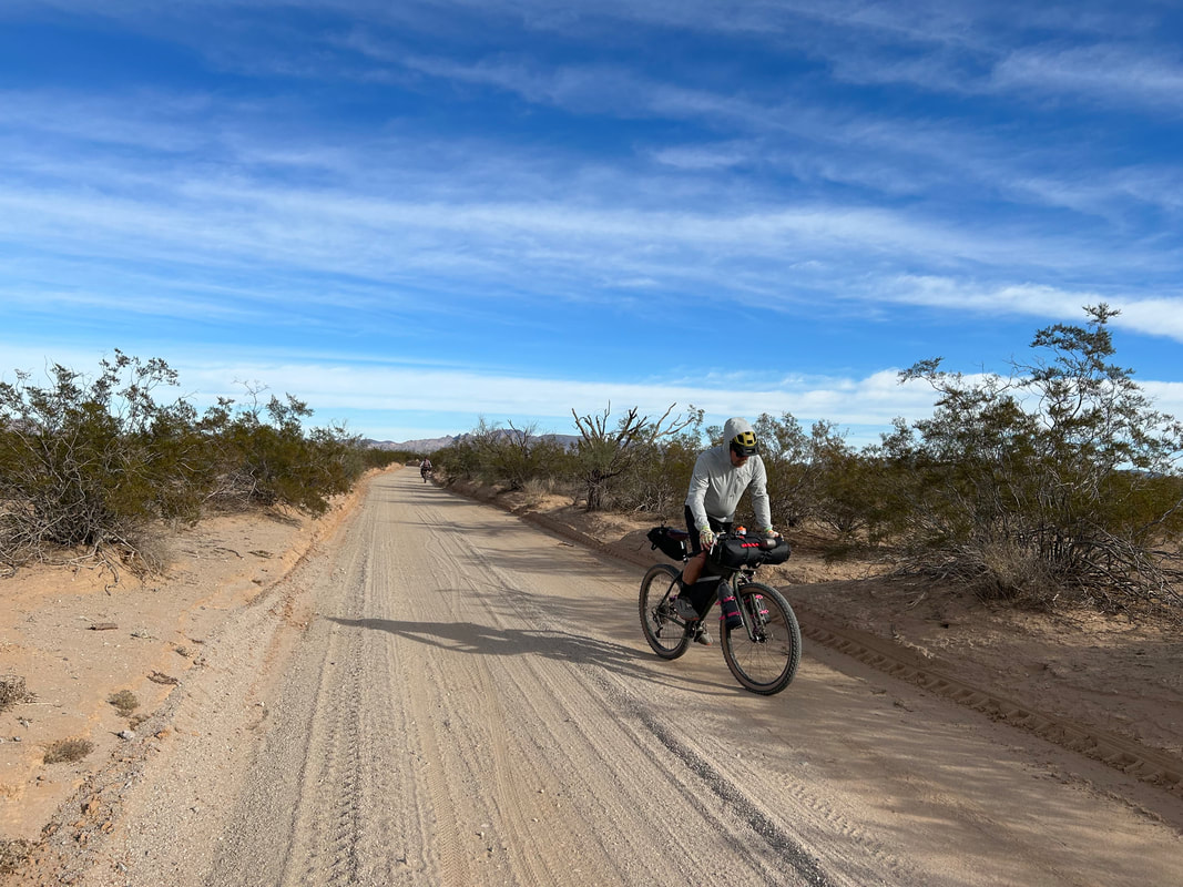
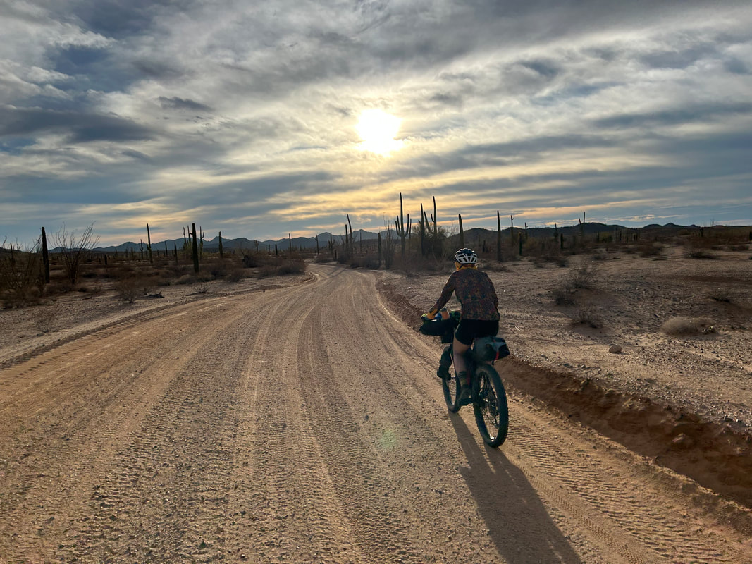
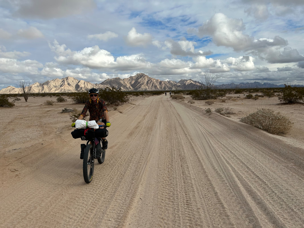
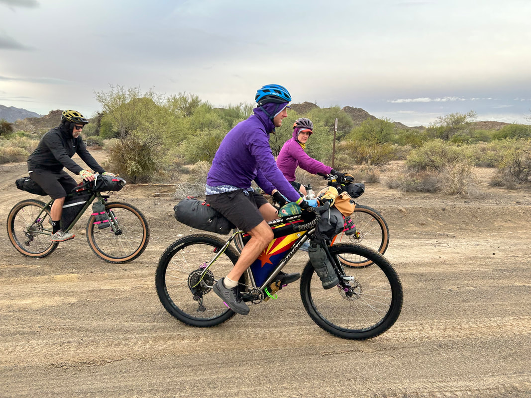
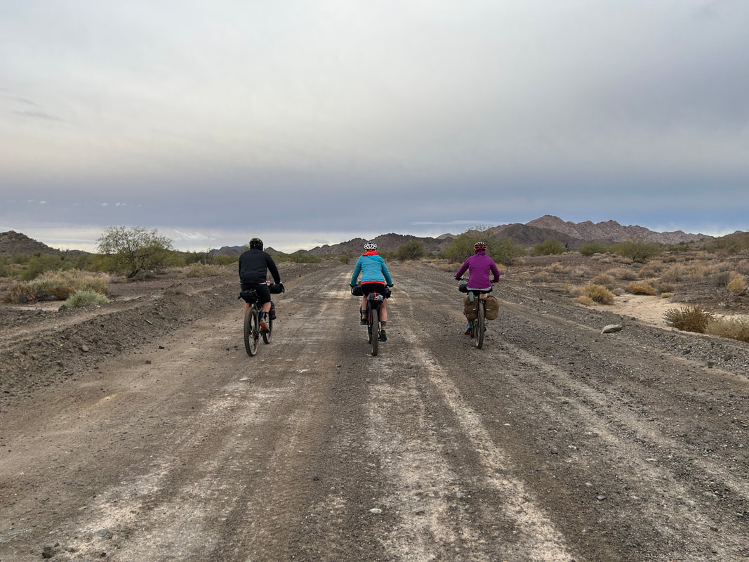
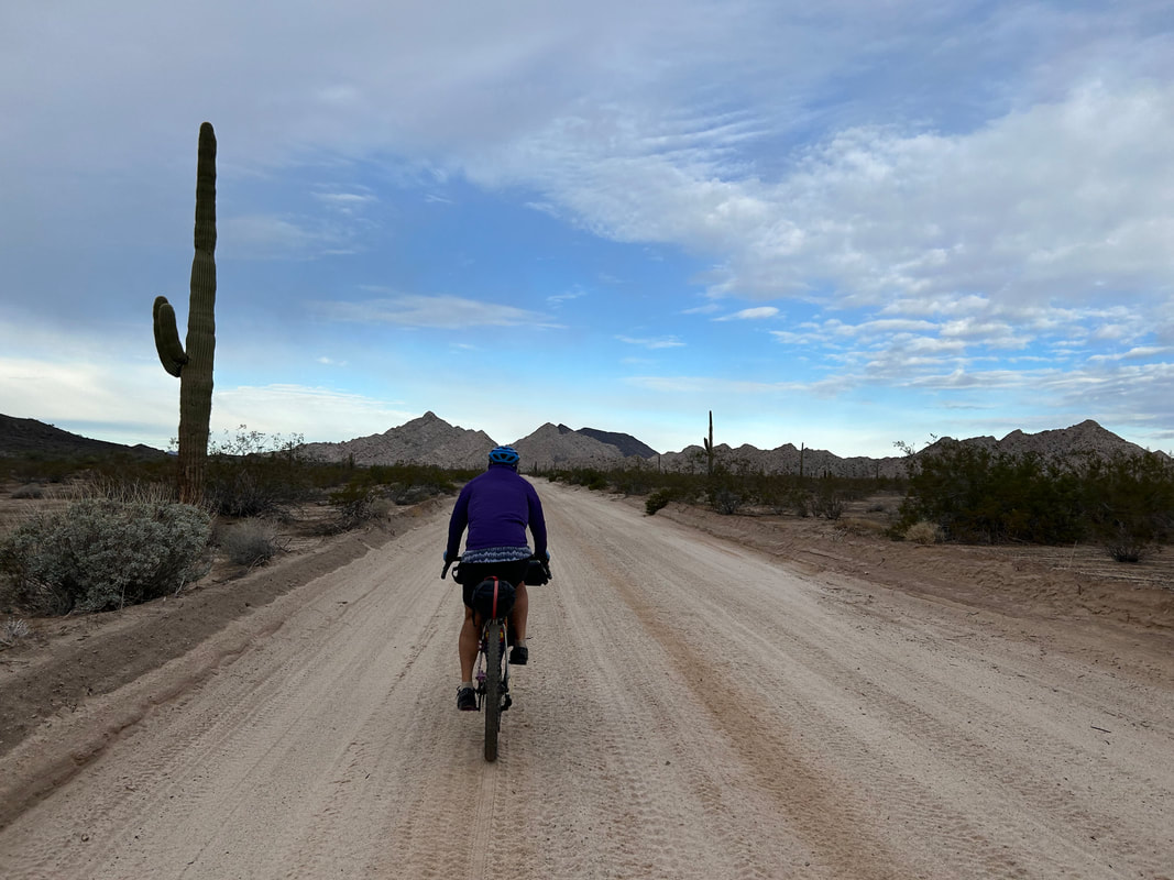
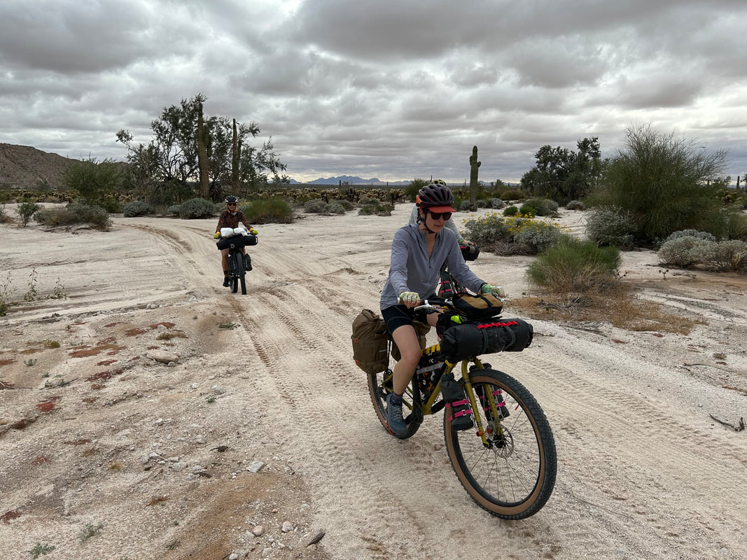
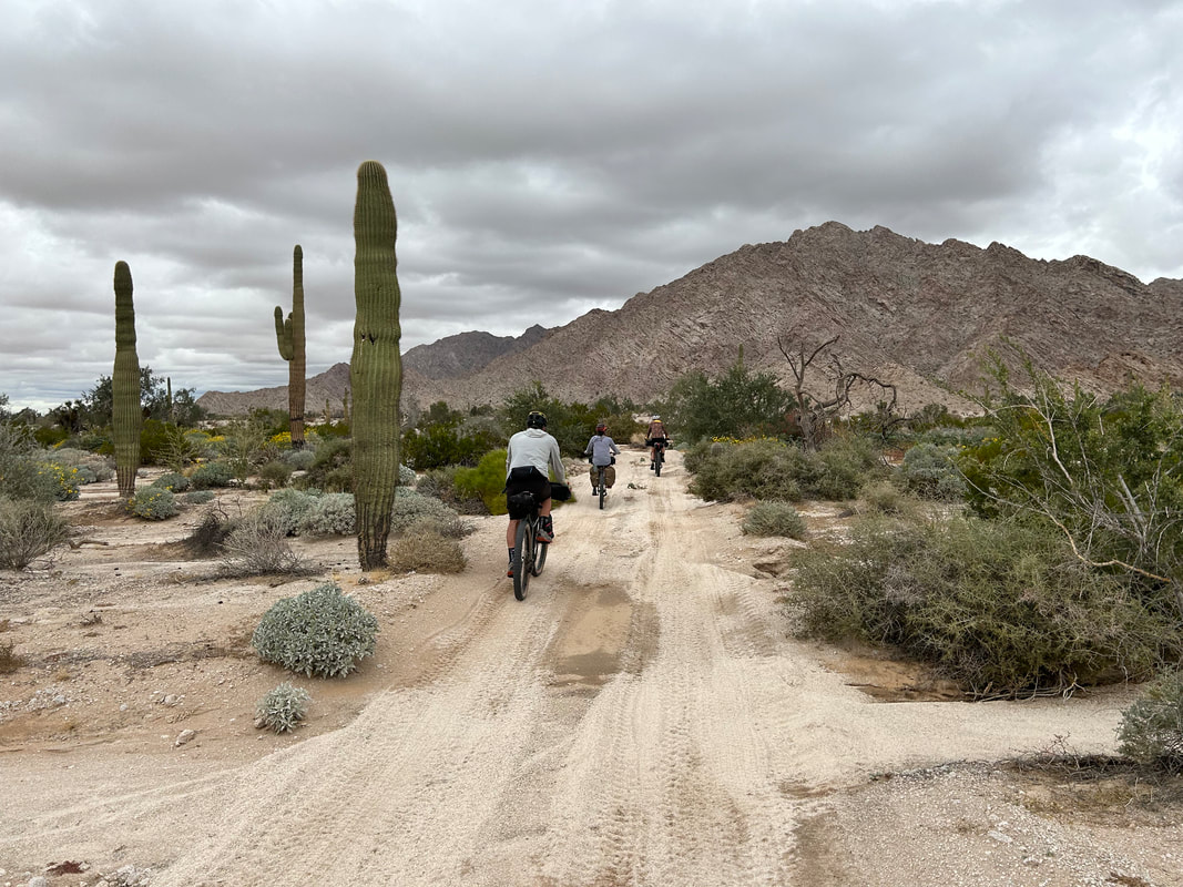
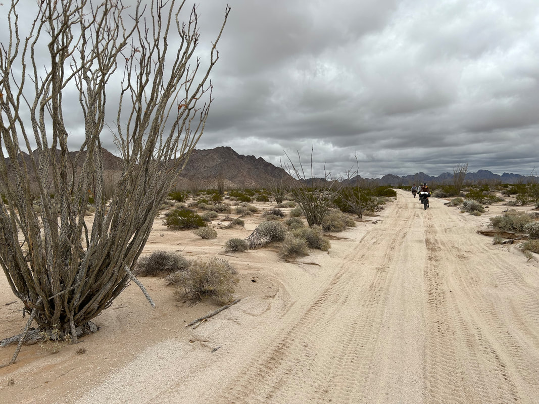
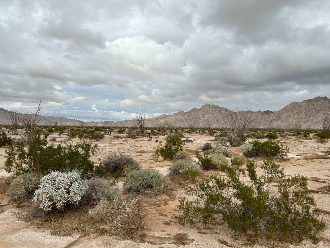
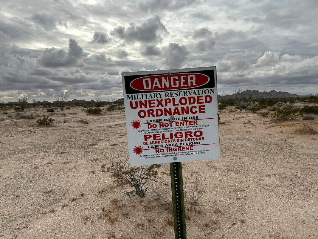
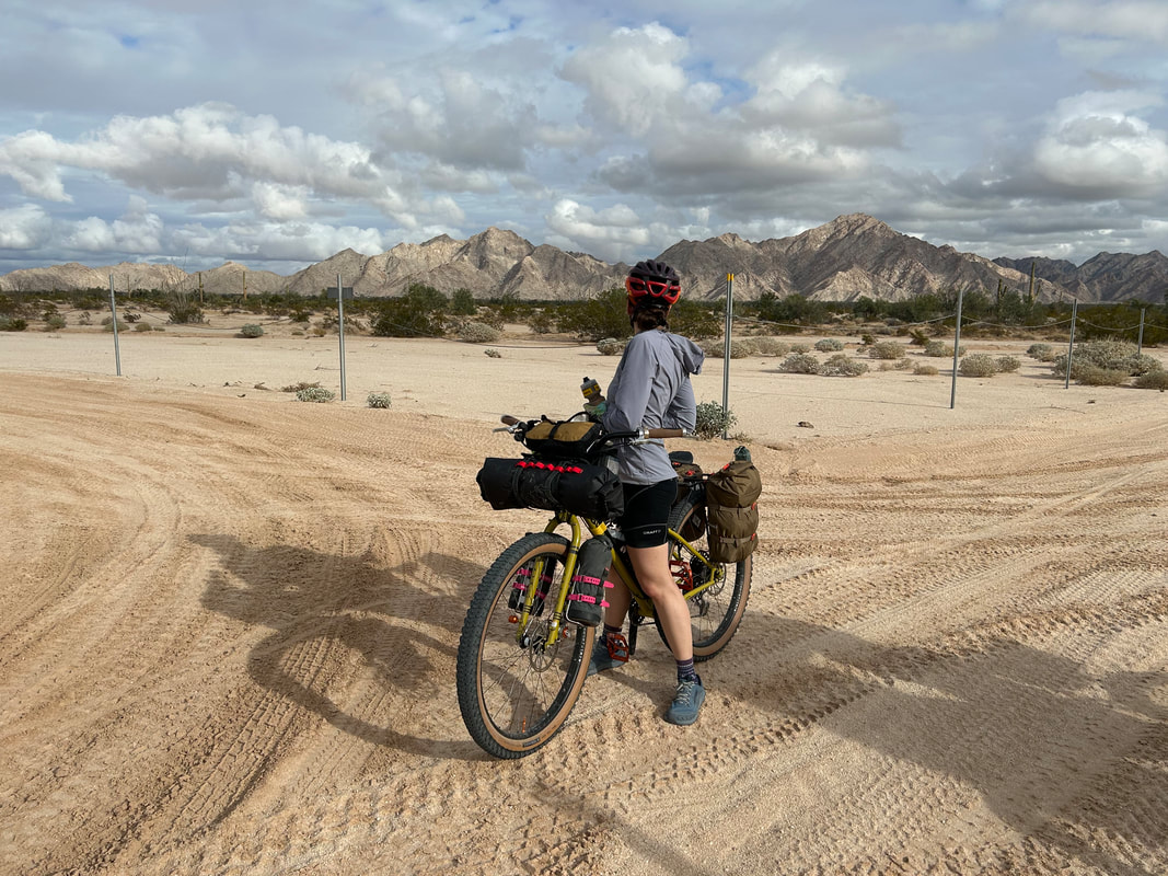
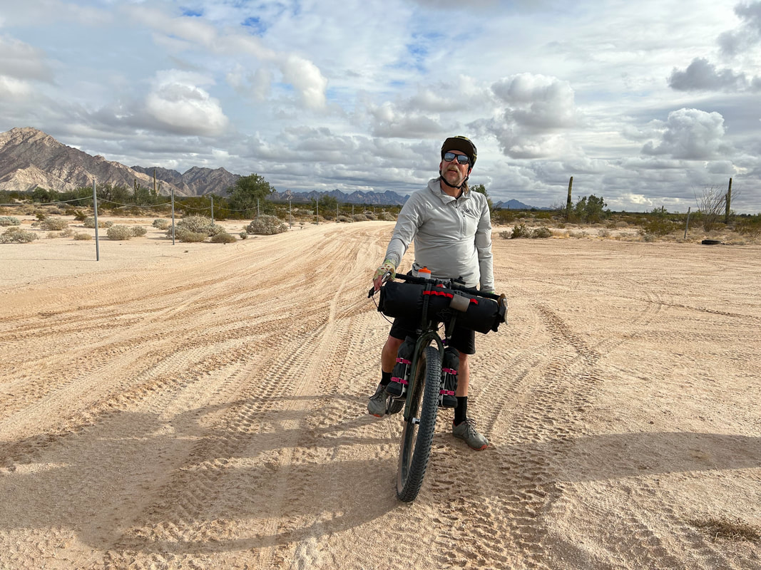
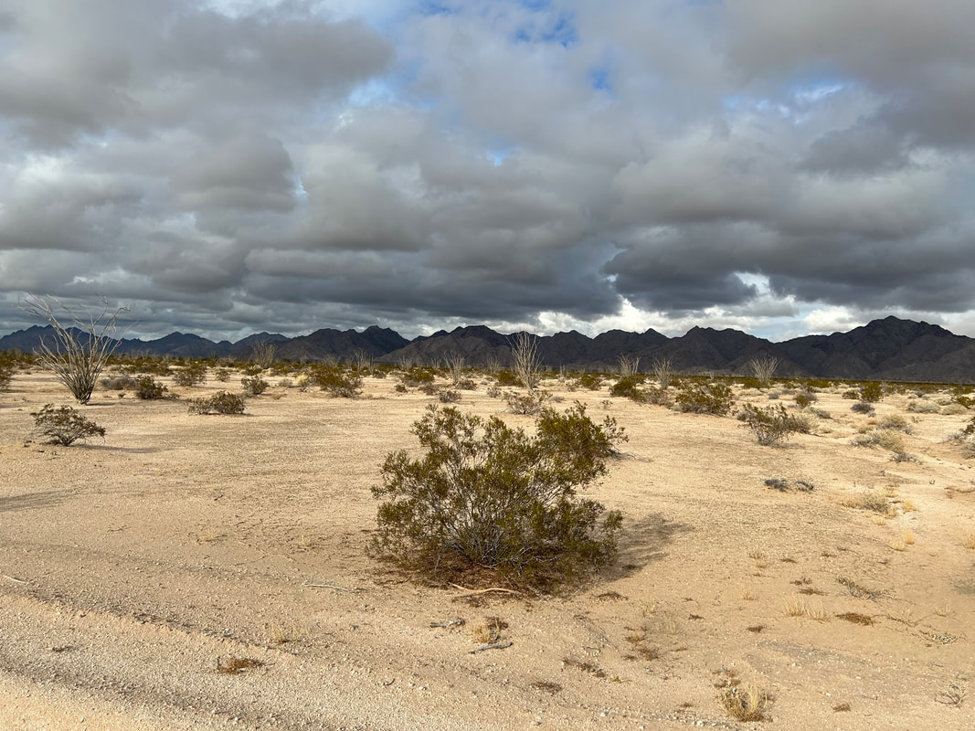
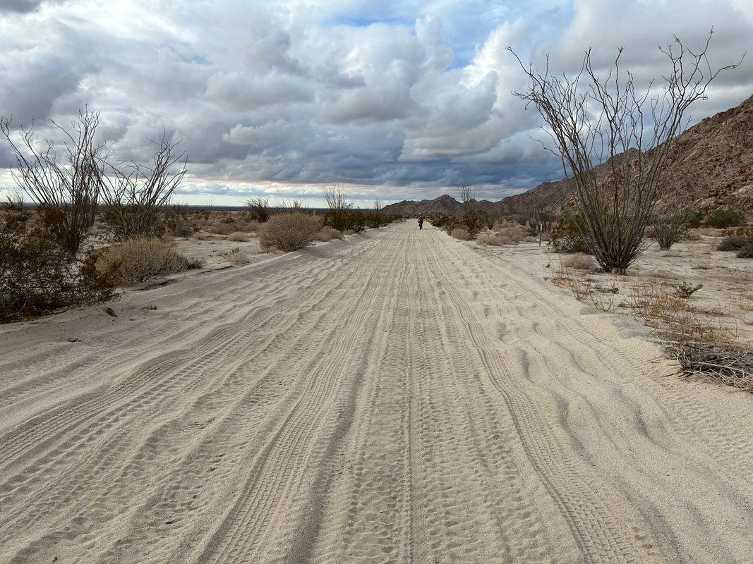
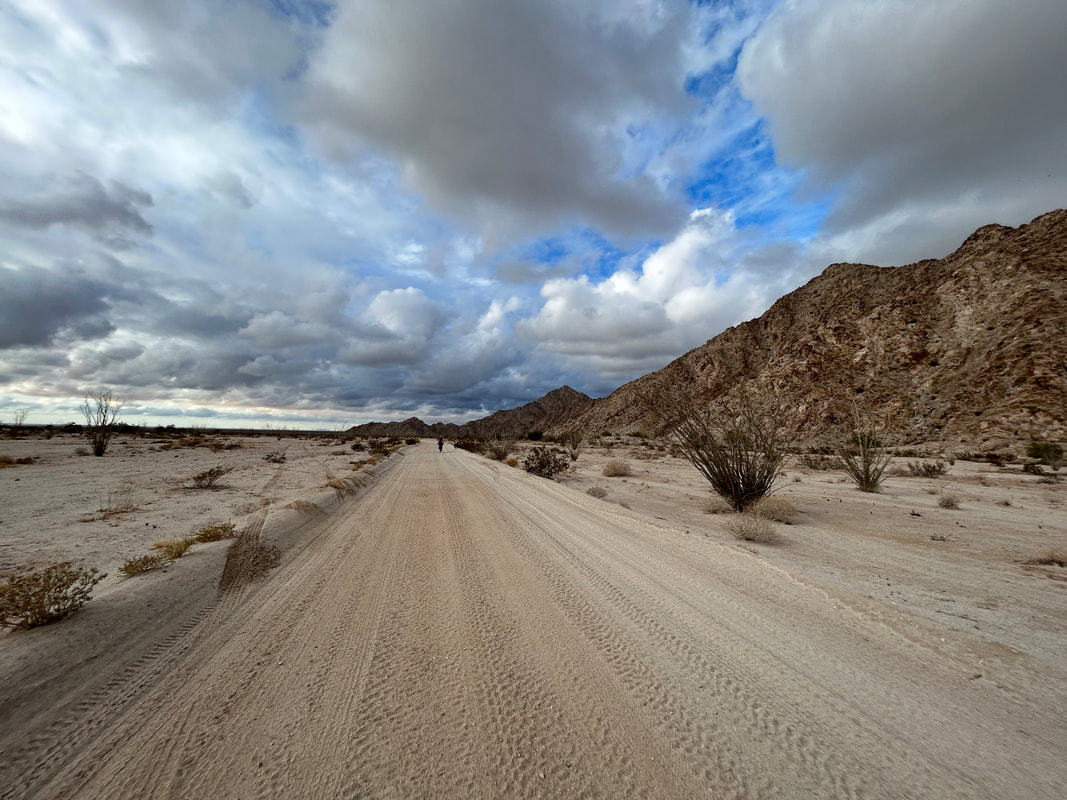
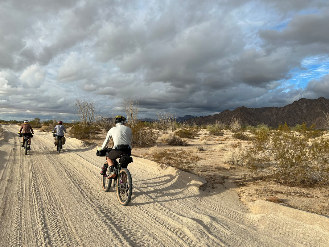
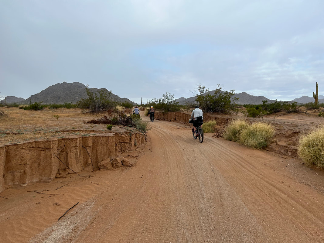
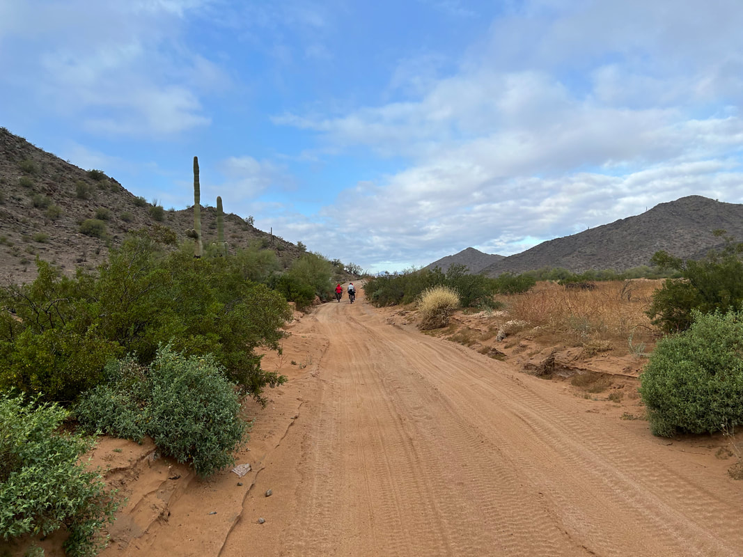
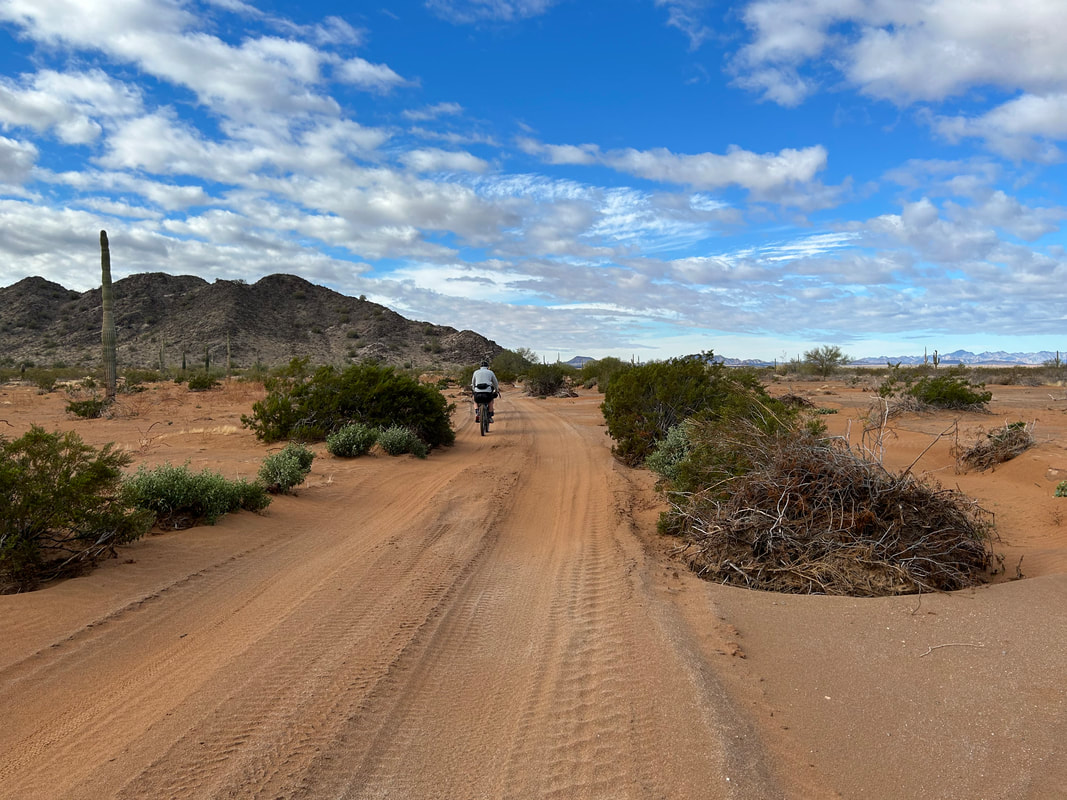
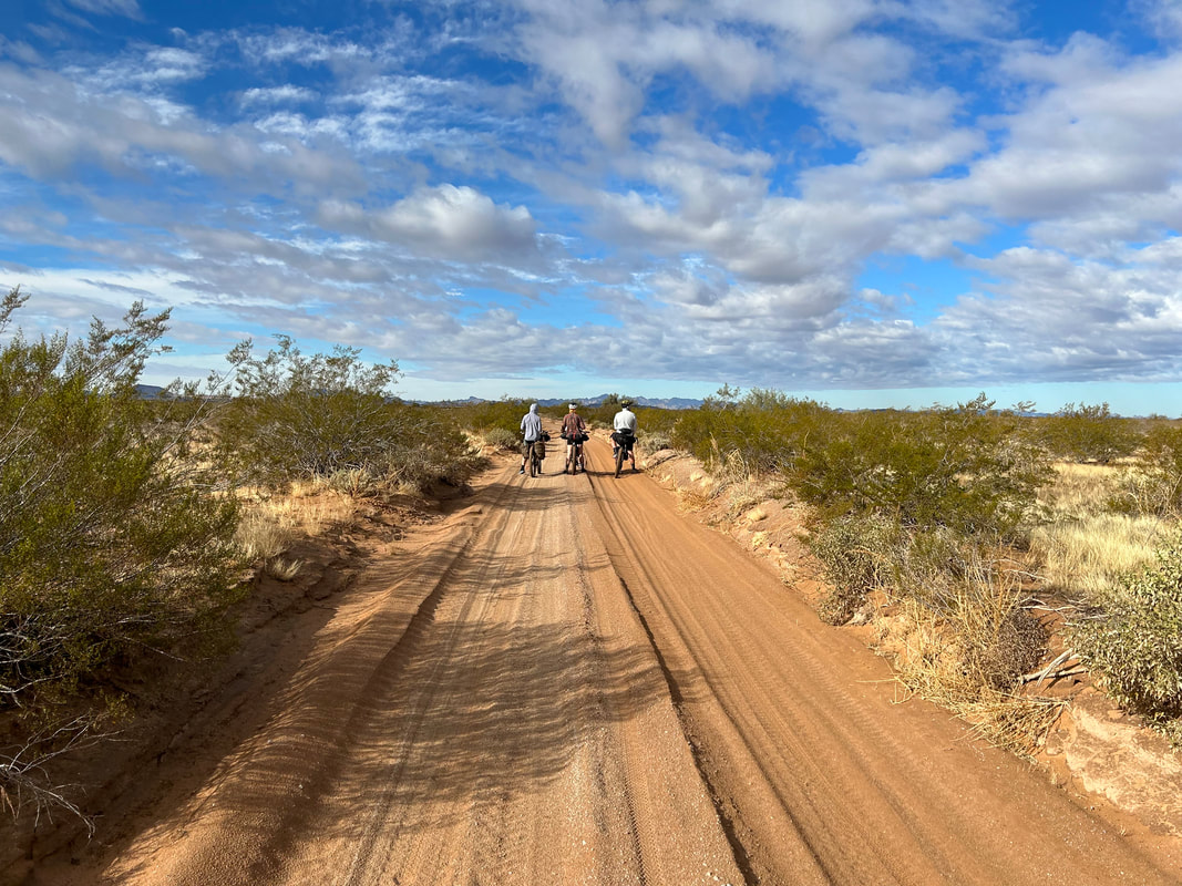
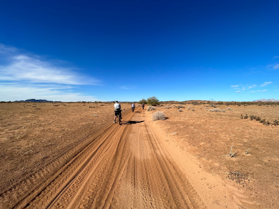
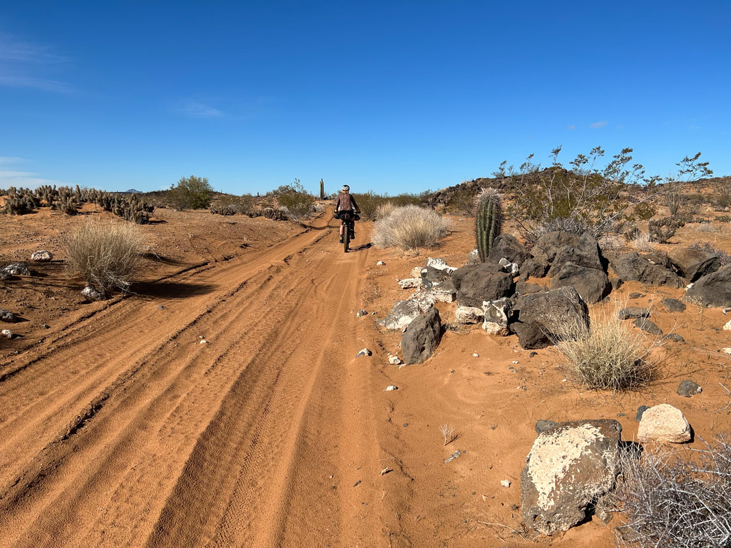
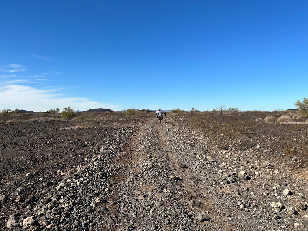
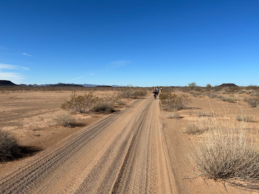
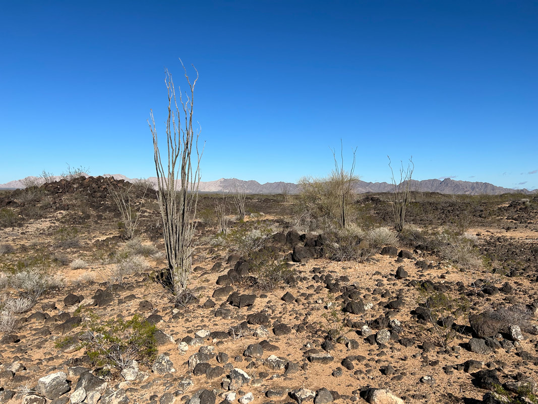
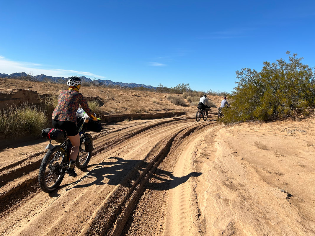
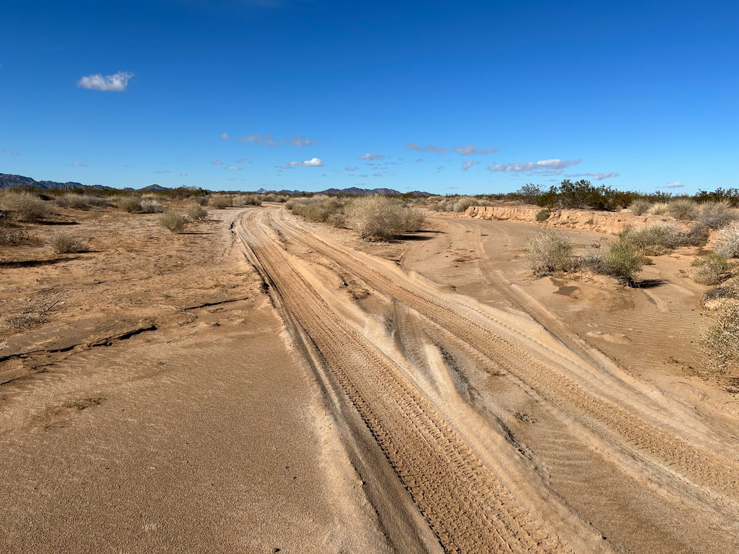
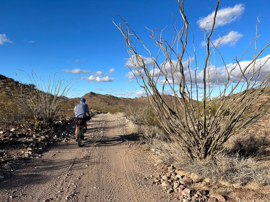
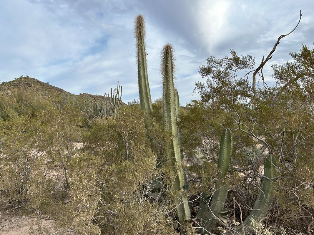
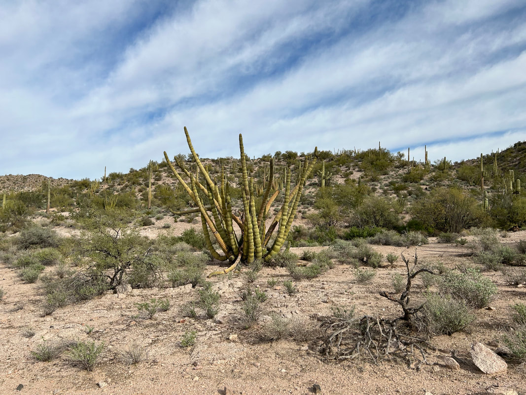
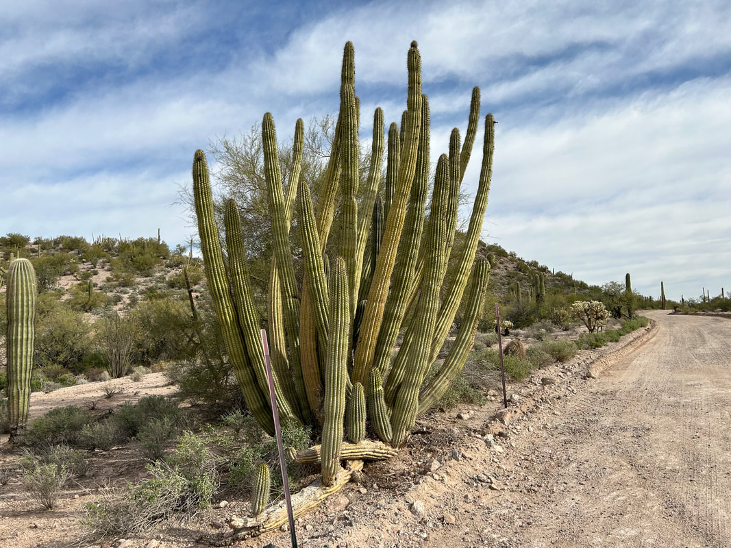
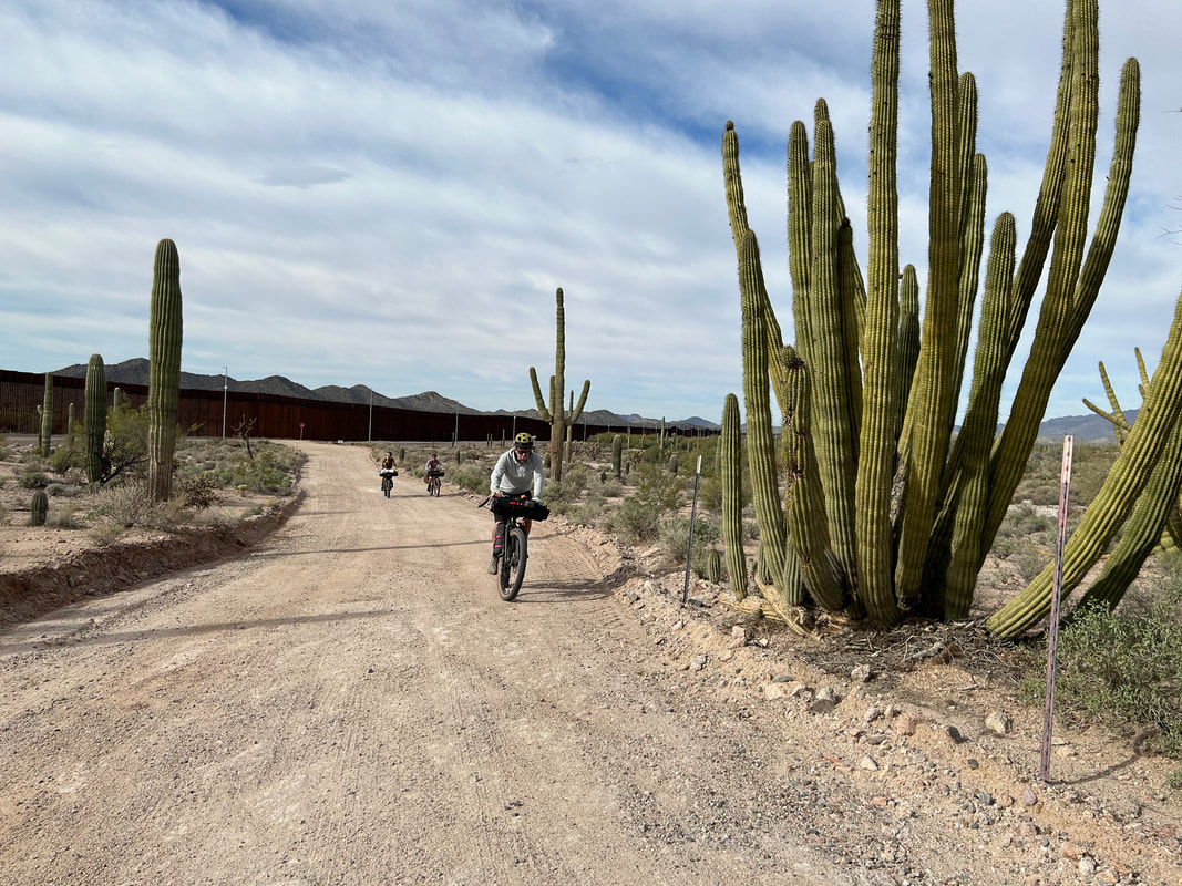
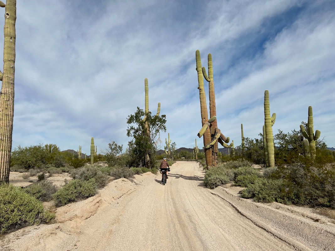
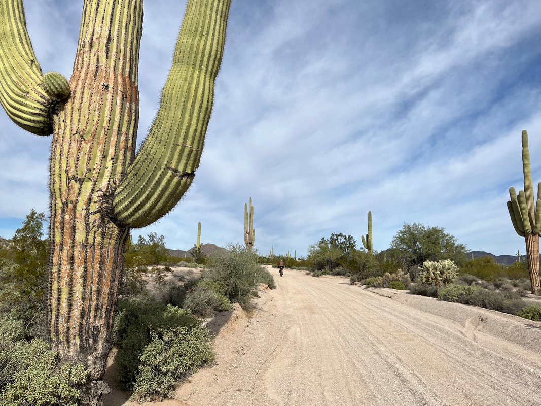
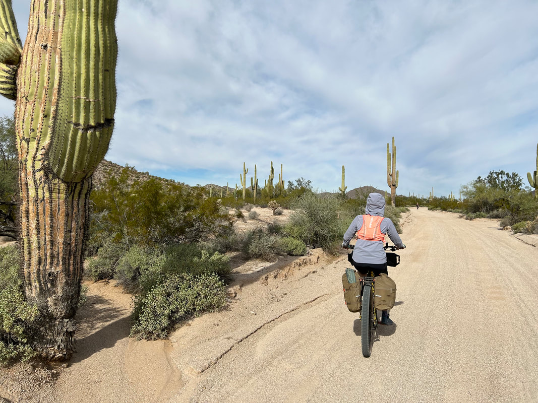
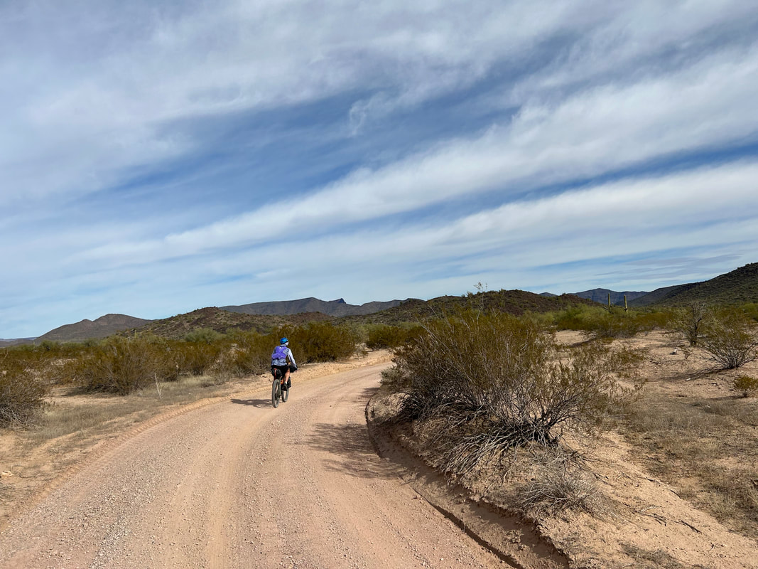
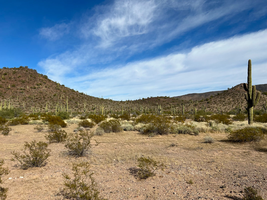
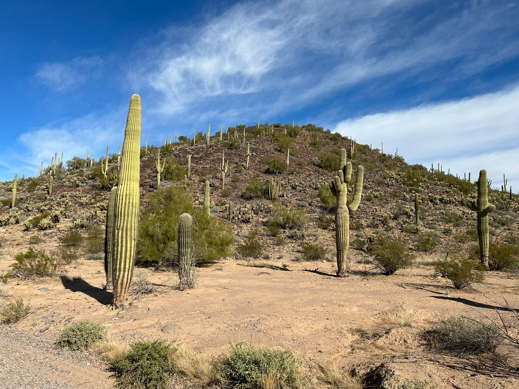
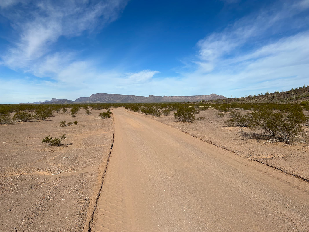
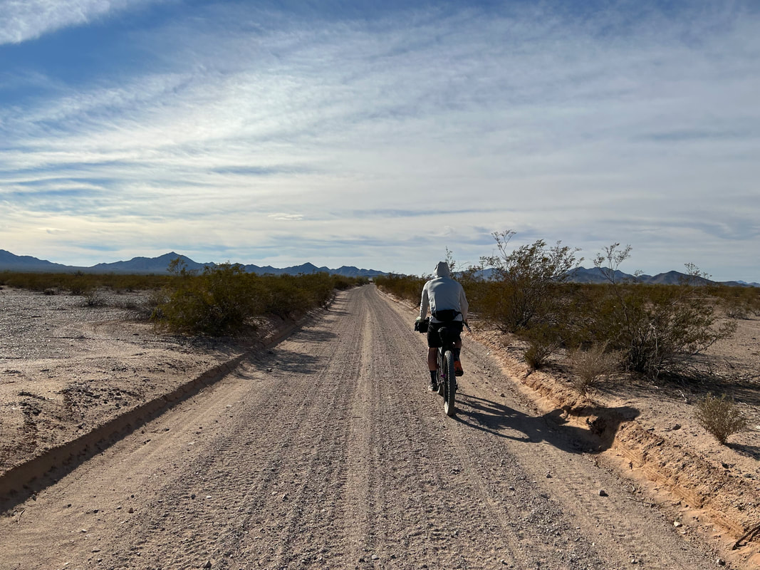
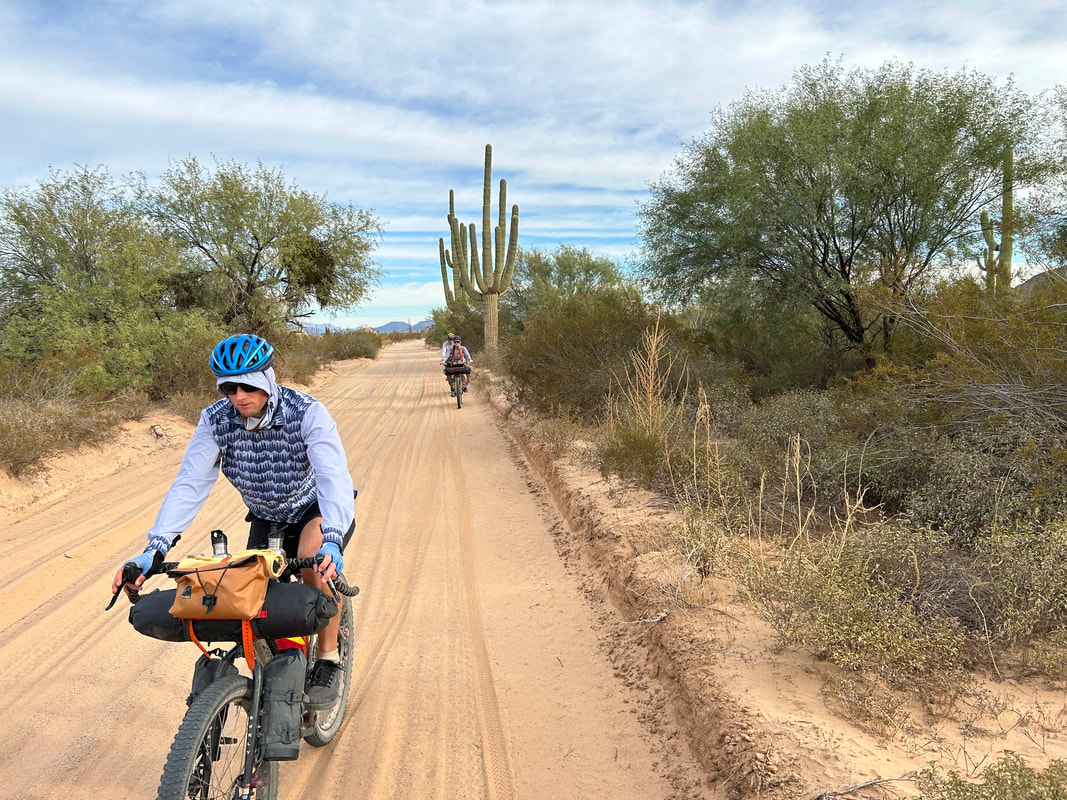
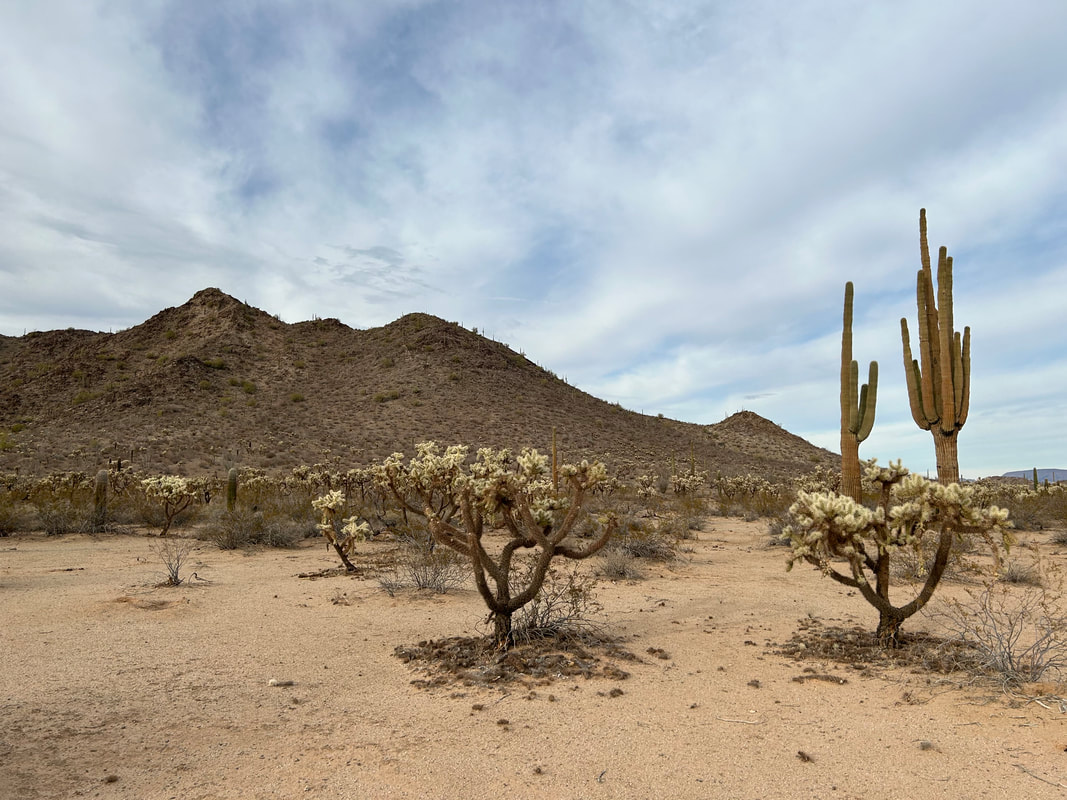
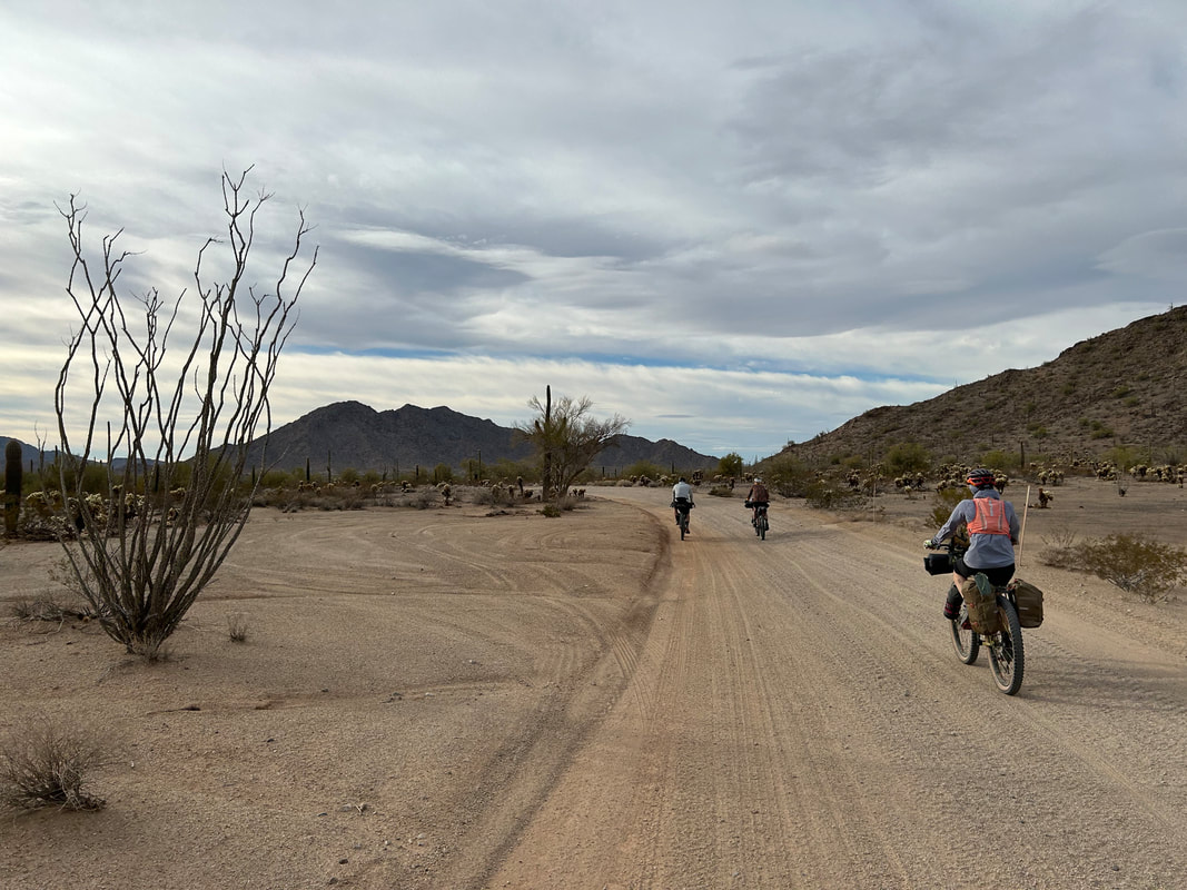
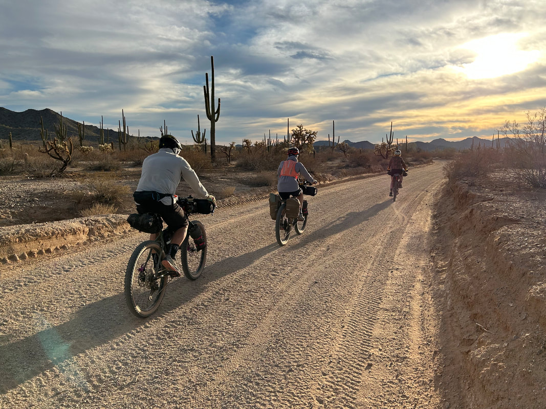
  Our team mounted our bikes and started threading through the pass. These passes through low-slung desert mountains were fascinating. Only a hundred or so feet higher than the surrounding valley-alluvial plains, the small elevation difference led to a crazy abundance of interesting plant life and cloud systems that sat overhead. Again, the light began to weave and slice through the clouds leading to dramatic views of the surrounding peaks and plants. On the other side of the Tinajas Altas we saw a metal sign for the El Camino del Diablo and Fortuna Mine, so we followed it due northwest. At this point, desert plant communities collided. Granite-white sands sat fat and deep for our wheels to sink into on the western flanks of the range. Interesting new plants on the northern tips of their ranges popped up unexpectedly like chuparosa and Elephant Tree. The ecotone between bajada and AZ Sonoran was extraordinary. We kept stopping over and over to take photos of the unique plants growing here. That, and the deep washboarded sand slowed our place to a crawl and beat our sitz bones on our saddles. In fact, the washboard sand was so bad that we quickly caught up to Alan in his Jeep and easily passed his vehicle on our bikes for several miles. At this point, we began a ten mile traverse of sandy plains now firmly inside the Barry M. Goldwater Air Force Range. The sand was dry (but probably better than with no rain), deep, shifting, and I found myself largely standing up to provide ample power to pedal at a meager forward rate for hours. It extracted a ton of our energy but I found the riding challenging and super fun. We entered the portion of the route that passed through miles of old bombing ranges where unexploded ordinances littered the landscape away from the road - thus necessitating no non-road travel. The clouds gathered starkly on the peaks to our rights, swollen and backlit darkly against the light-shrouded peaks. 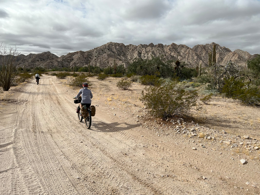 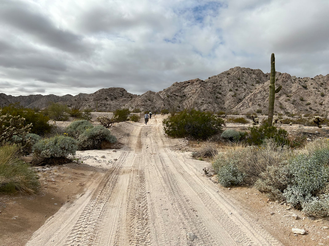 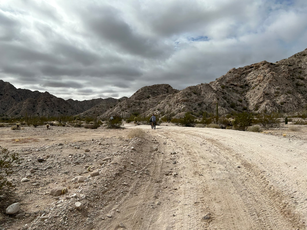 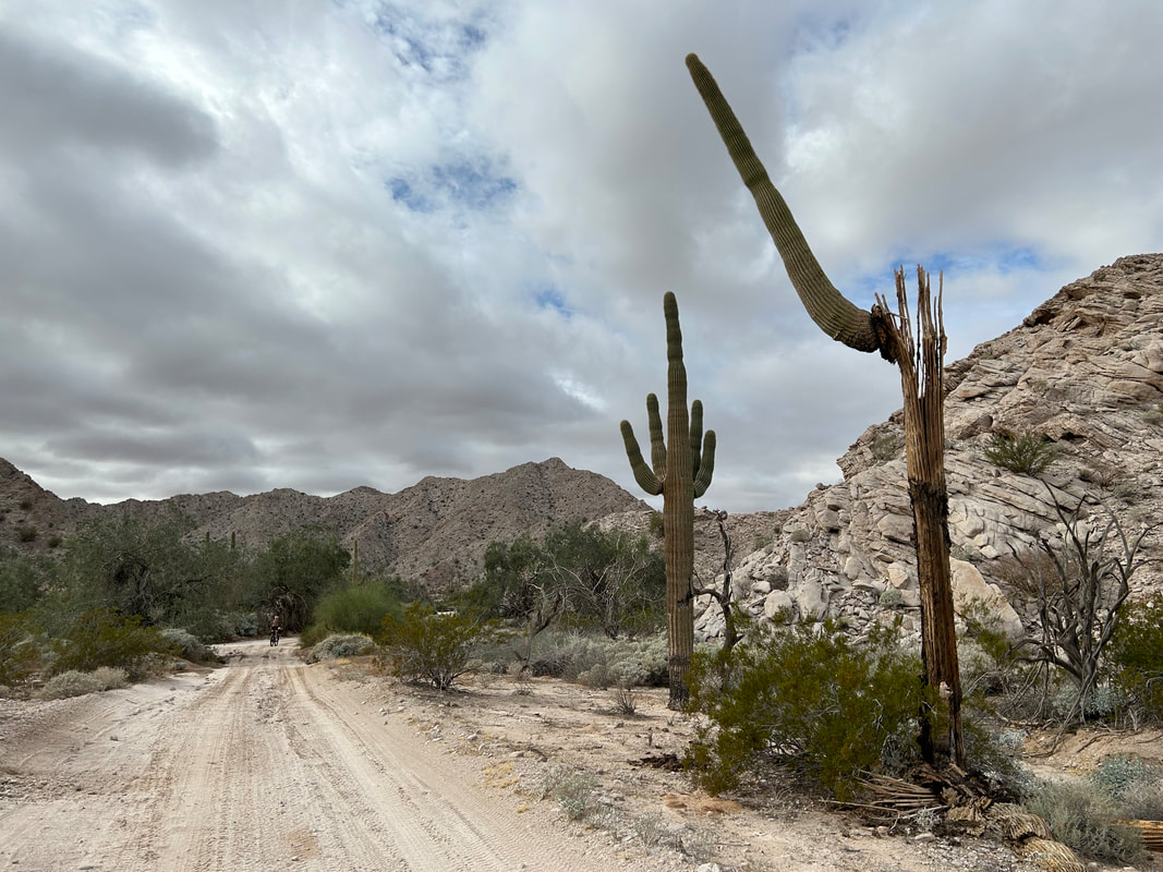 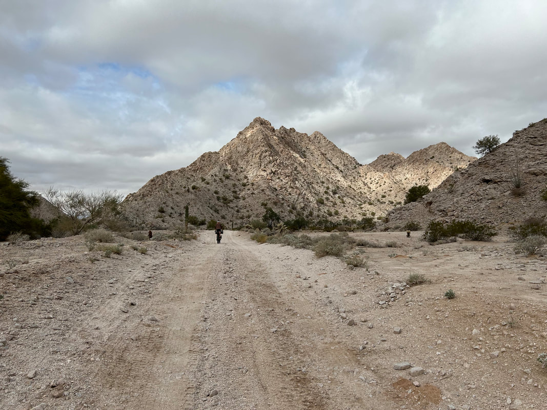
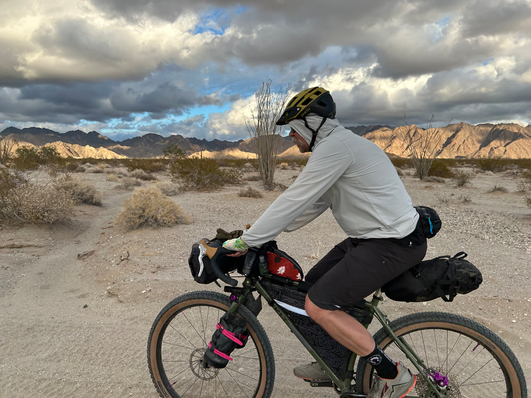
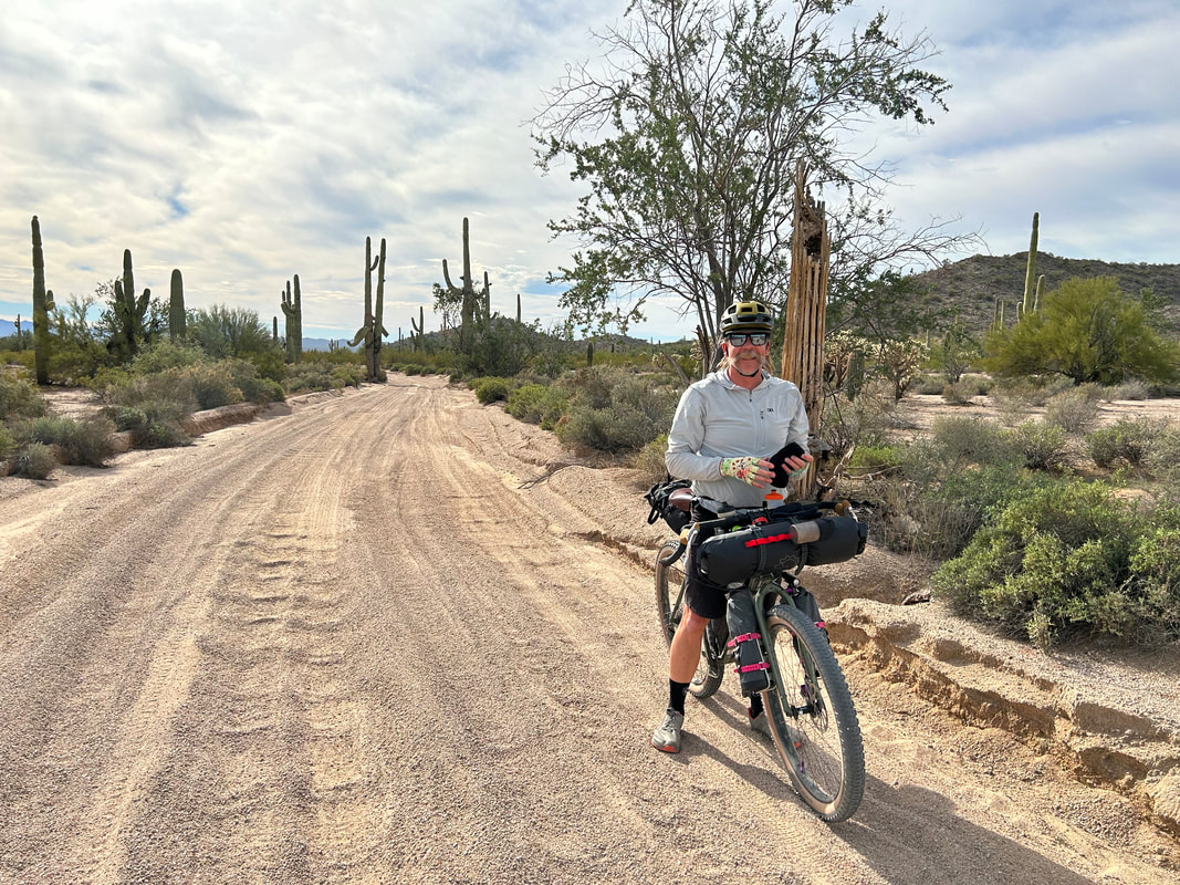
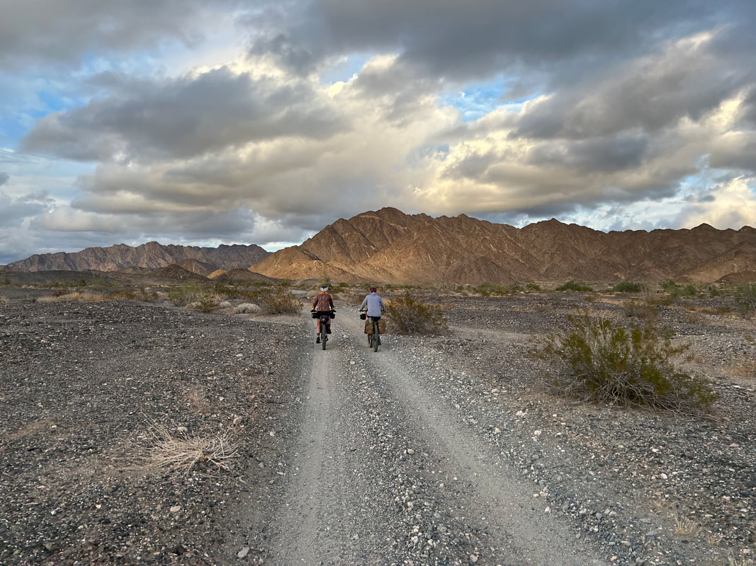
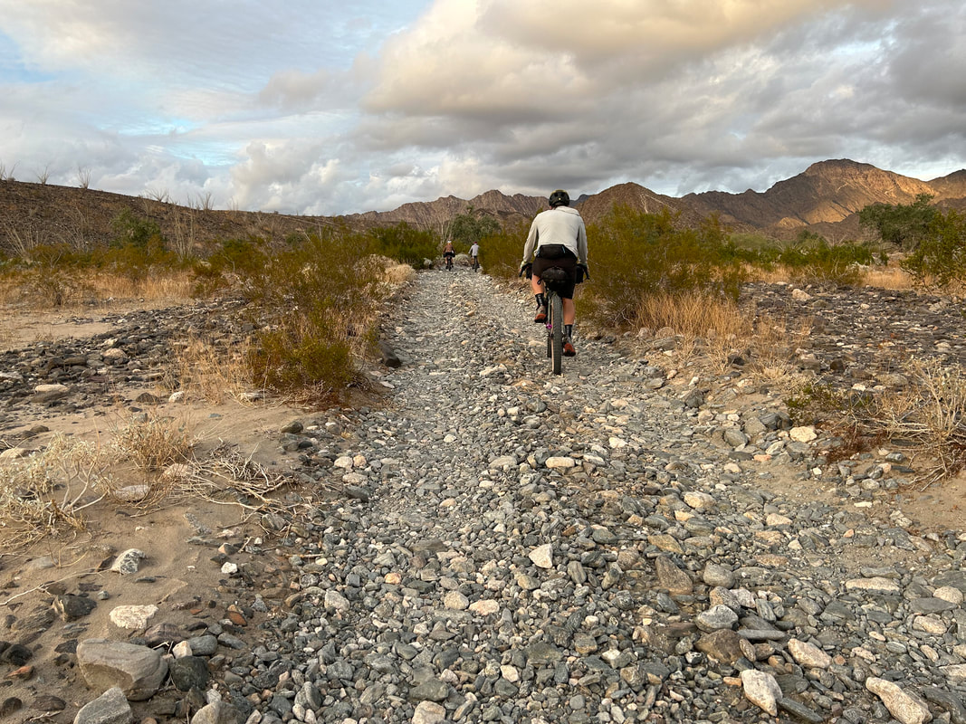
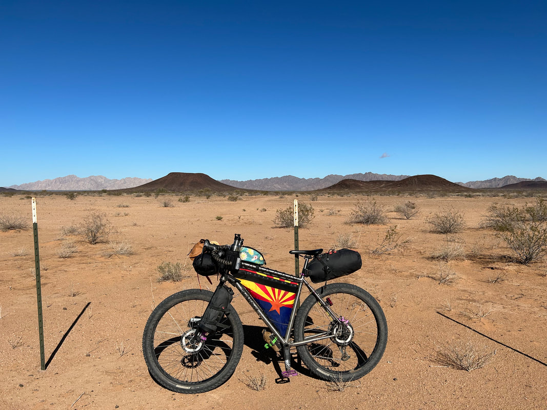
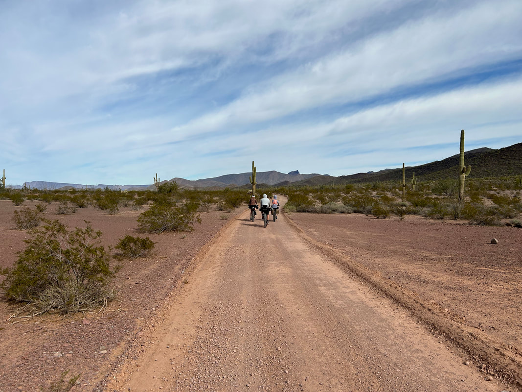
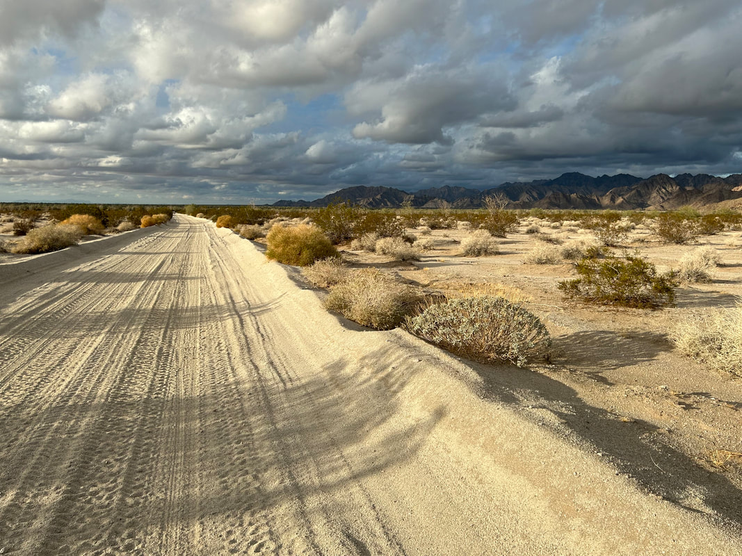   The El Camino del Diablo hit a junction where the road-proper continued straight west to intersect with the a paved street. Instead, we took the bikepacking route that turned north and entered the Gila Mountains. The wide road became rock doubletrack littered with babyheads and river stones as we crawled our ways up a wide wash. On the cusp of sunset, we found ourselves at Fortuna Mine which seemed less impressive than the expansive peaks around us. We continued up the last 500 feet of ascent and came out on a ridgeline right as the burning rays of sunset lit up the metallic clouds for an impressive ride under pink skies. Night followed thereafter so we turned on our lights and rode across the desert for another hour. The end of the military range arrived as we tumbled onto the streets of a suburban neighborhood in Fortuna Hills. We snapped a last photo or two, turned on Google Maps, and did another 6.5 miles to our hotel on the outskirts of Yuma. 
0 Comments
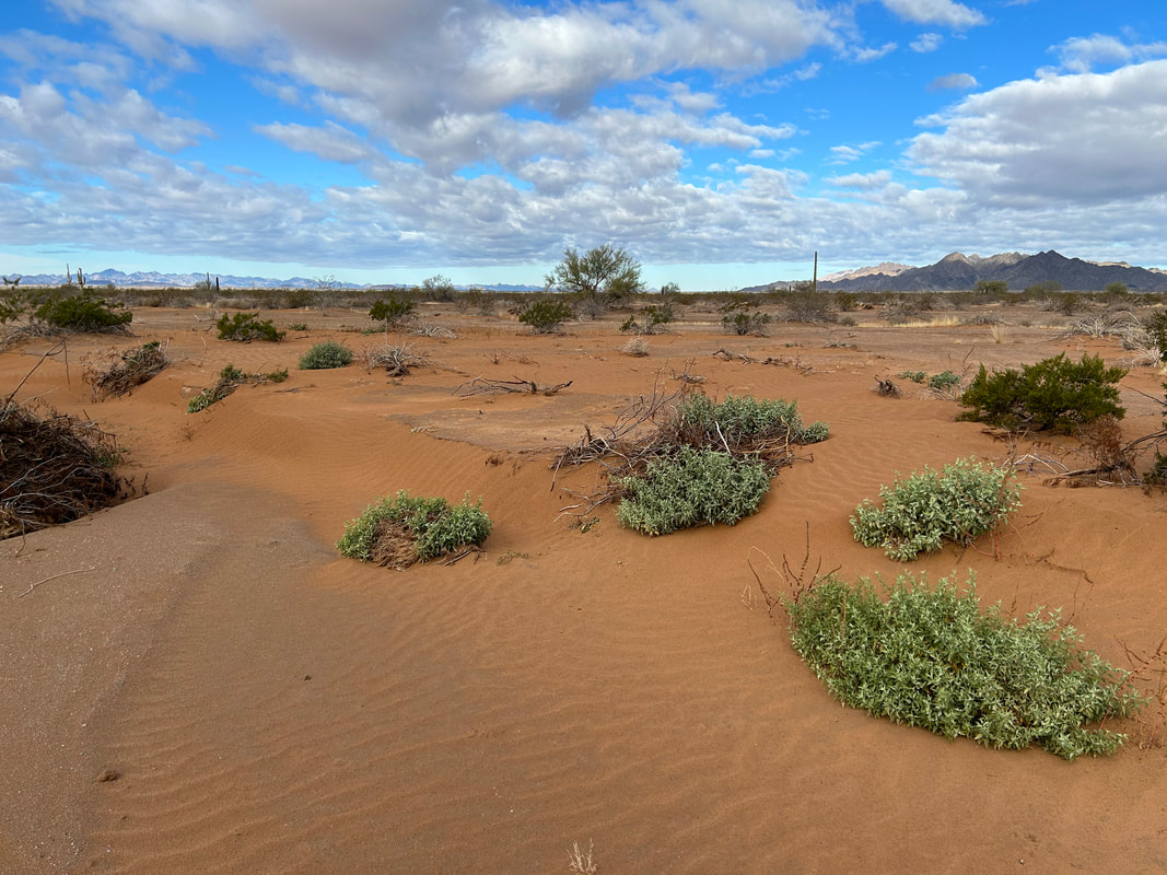
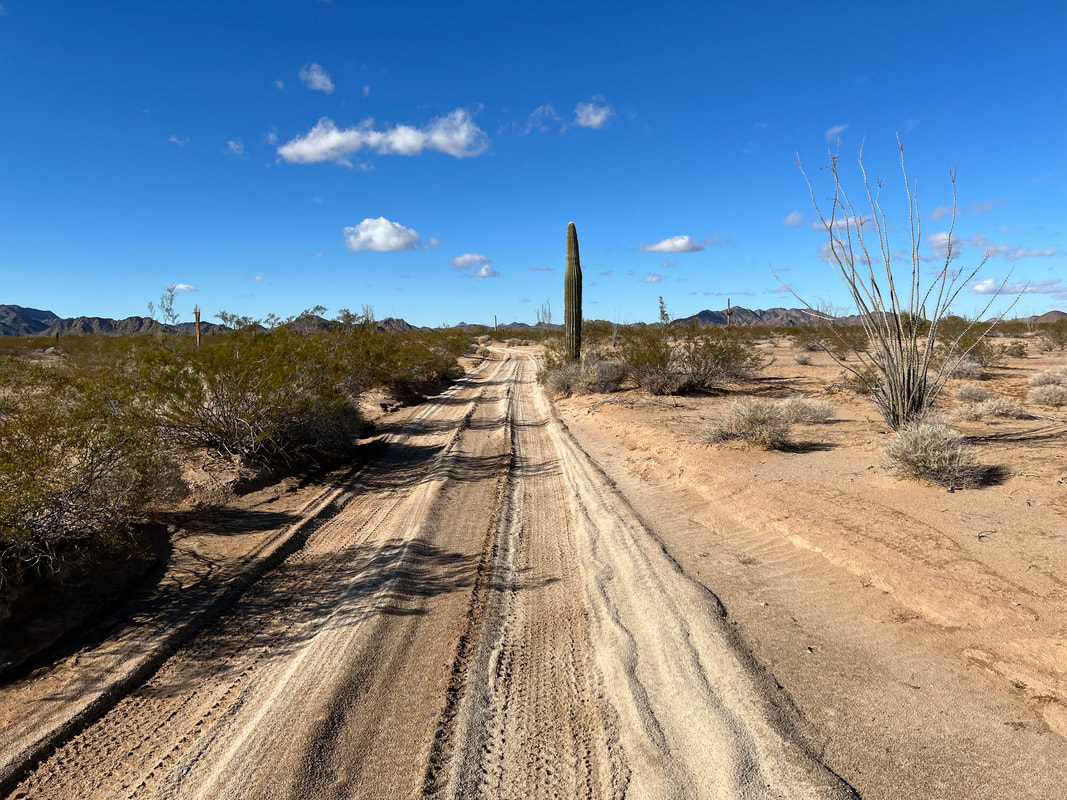
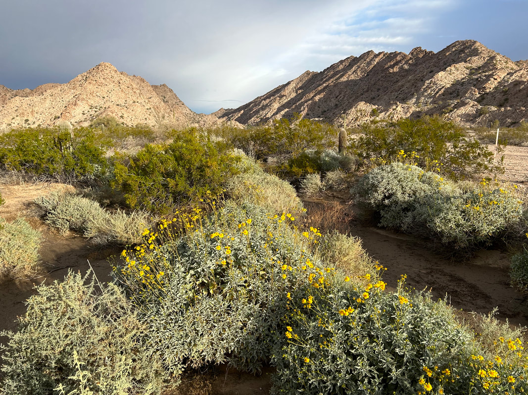
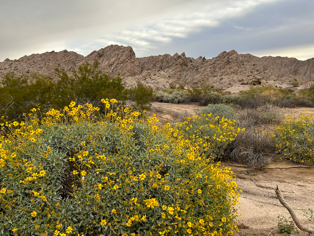
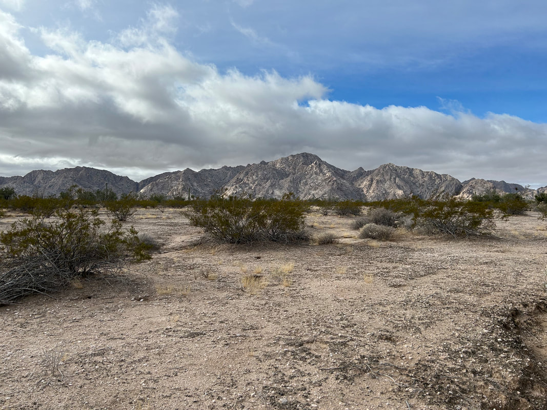
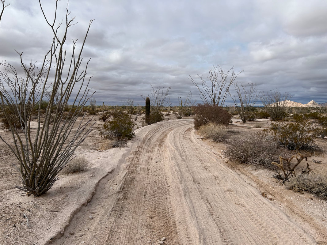
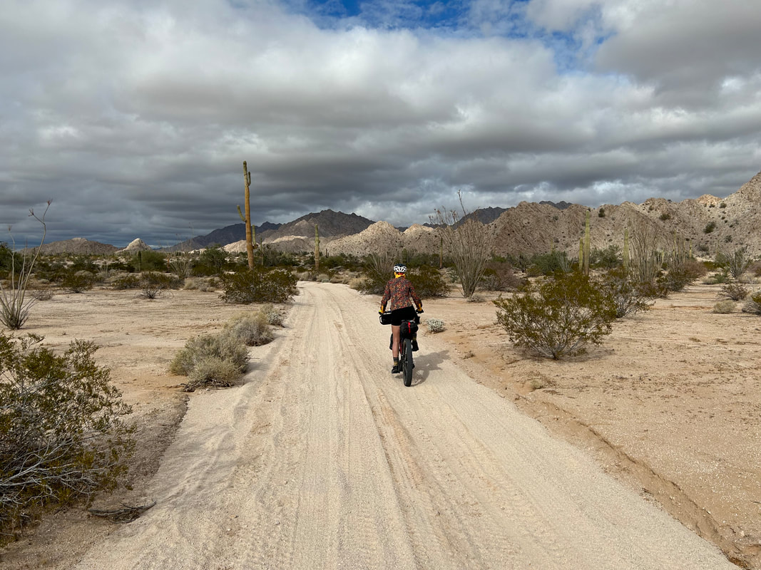
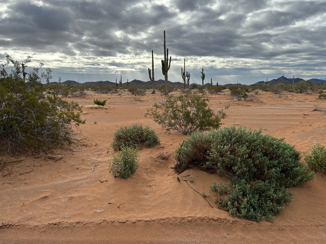
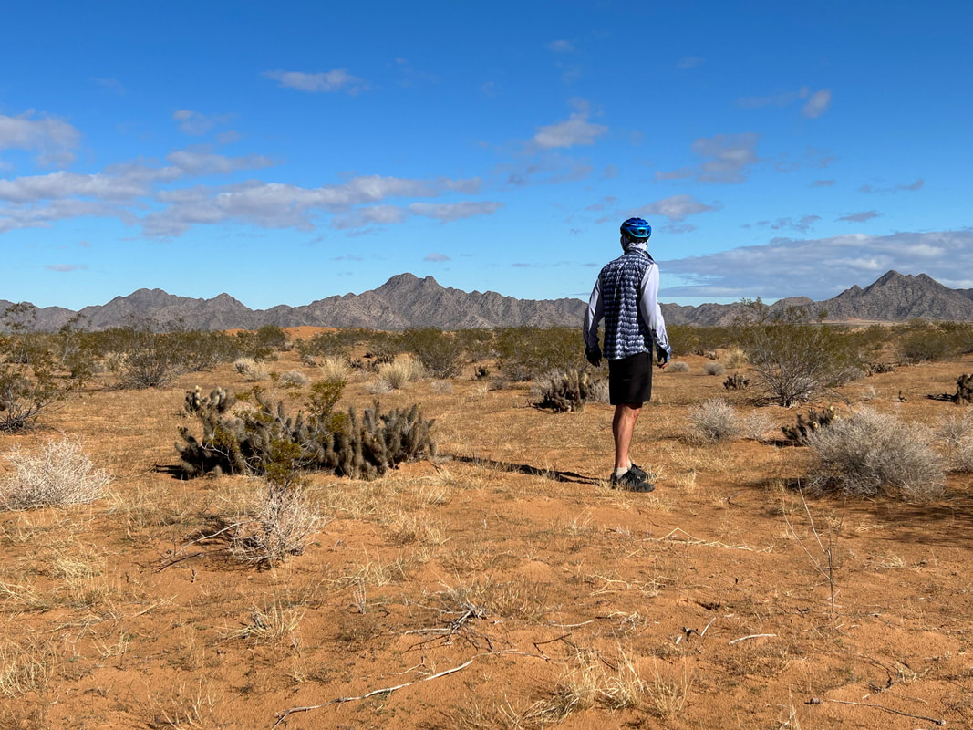
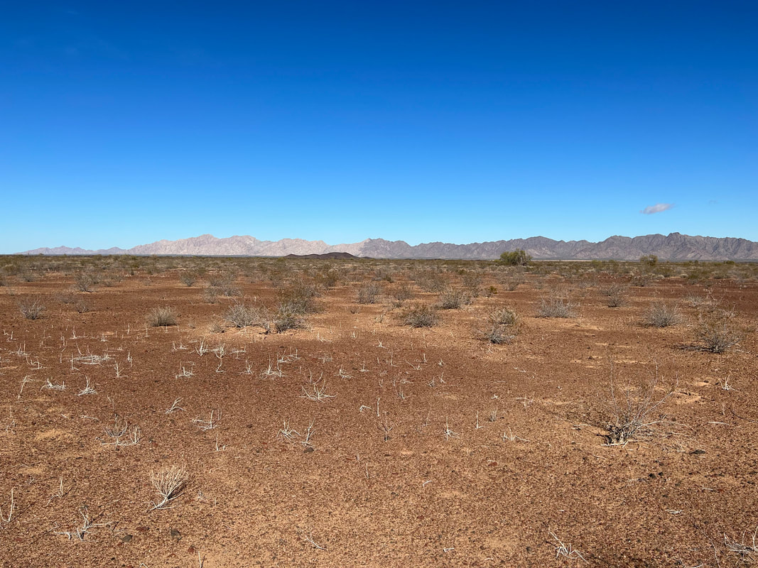
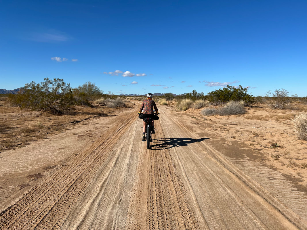
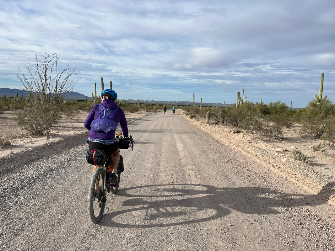
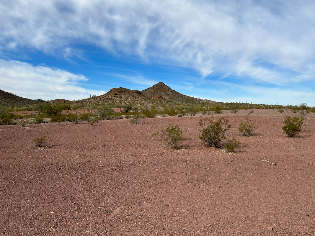
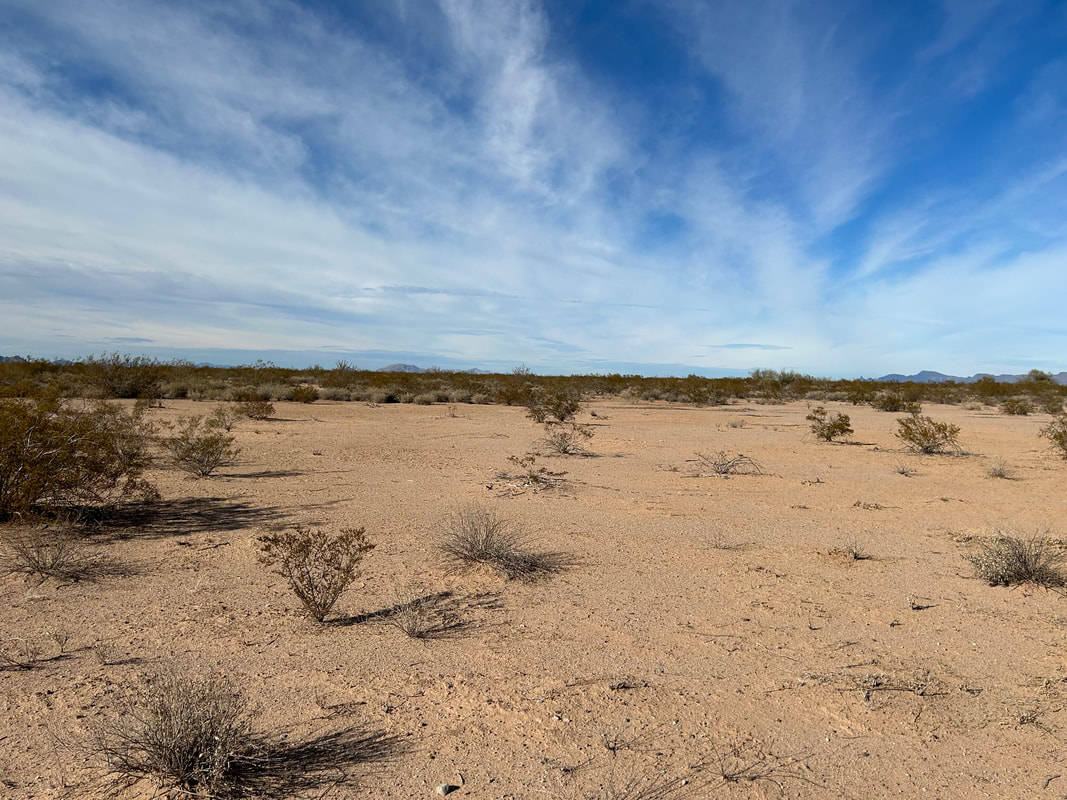
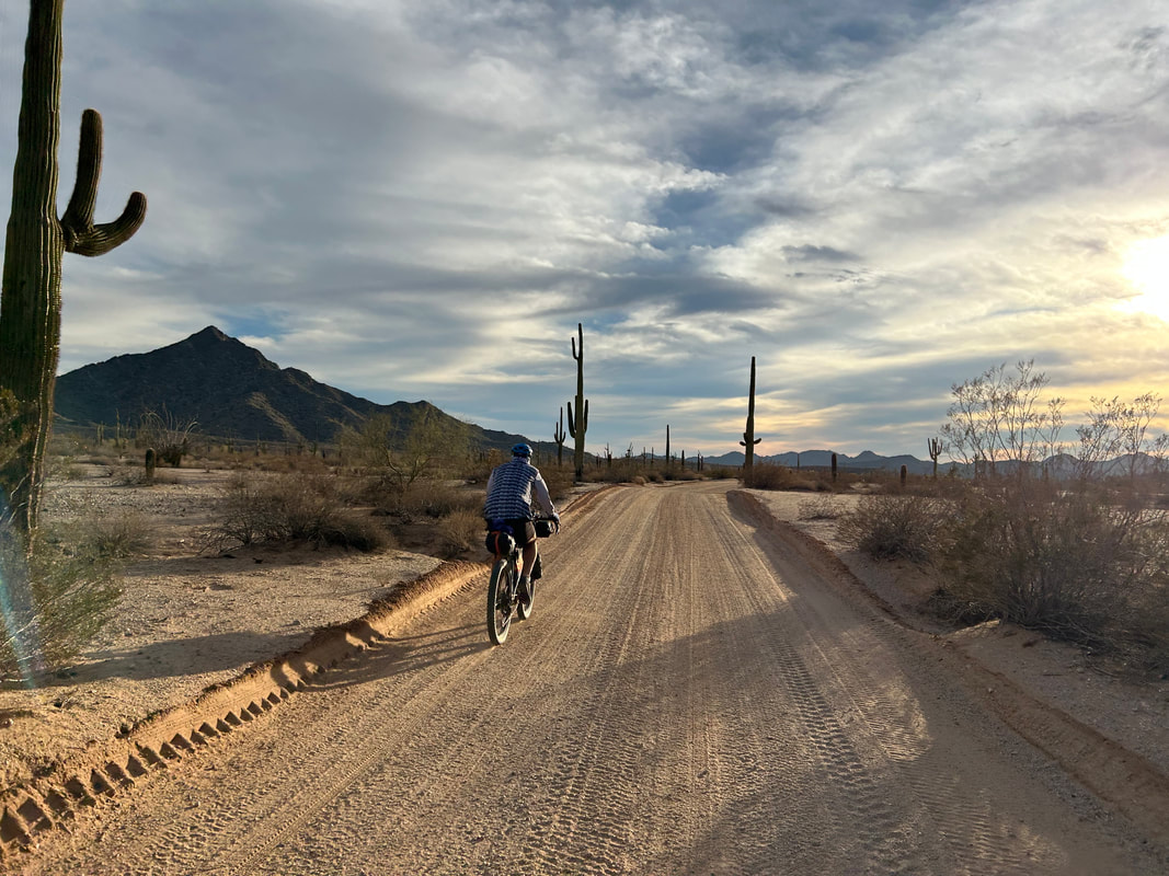
El Camino del Diablo - Day 2 - Crossing the Pinta Sands and Pinacate Lava Flow to Tule Well12/28/2022 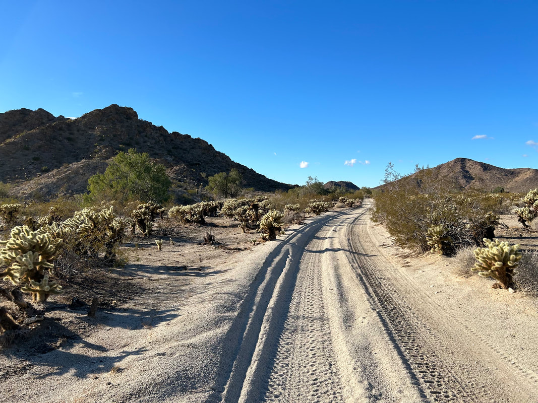 With a fitful night's sleep came the steady patter of rain coinciding with wind-cessation around 5 in the morning. The front hunkered down over the desert casting down a pitter of water as 0.25 inches fell. I slept and re-awoke on repeat until the hooded dawn cast a pallor to distinguish day from night. Janna got up to go pee and reported that the rain was a drizzle at this point, choking off, and worse sounding on the fabric of the shelter. We climbed out of the shelter and found temperature 50 degree temps warm enough for shorts but wet enough for a rain jacket. Everyone spoke about the events of the night before resheltering under vestibules to eat morning breakfast. Janna and I walked down to Papago Well afterwards to fill up our hydration bladders. A mist of droplets obscured the mountains in the gray morning light. Once we all packed up, we headed westwards on the El Camino del Diablo once more. The sand terrain was firmer and supporter with the saturation of water. In a few quick miles we came upon a Border Patrol outpost which we passed before hitting the start of the Pinta Sands. Here, the iconic red sands of the large dry playa spread out from the carven wash we biked down. Just over O'Neill Pass the blue sky sauntered through the clouds bringing that golden morning light in sharp contrast. Every particle of sand, every gripping ocotillo, each wallowing creosote, and all distant Sierra Pinta Peaks lit up with definition under that excellent light. We stopped for a short snack in the wet, packed sand before heading off into the Las Playas. Janna and Kate pointed out several tracks of people crossing the road having come from the border. Dan found Sonoran pronghorn tracks which made my eyes sharp and staring for the chance to see one.
   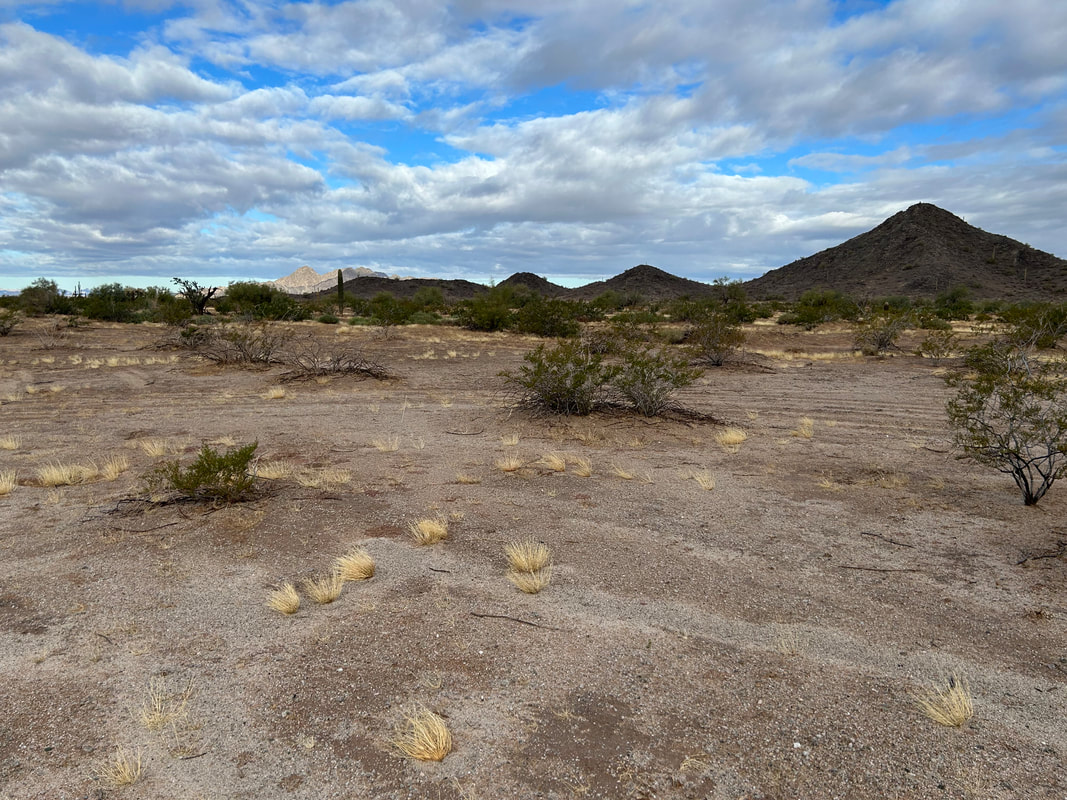 
 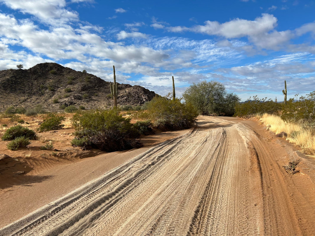 
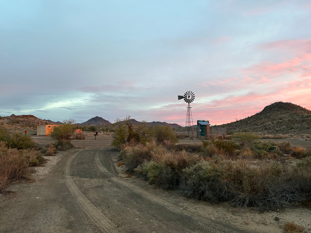
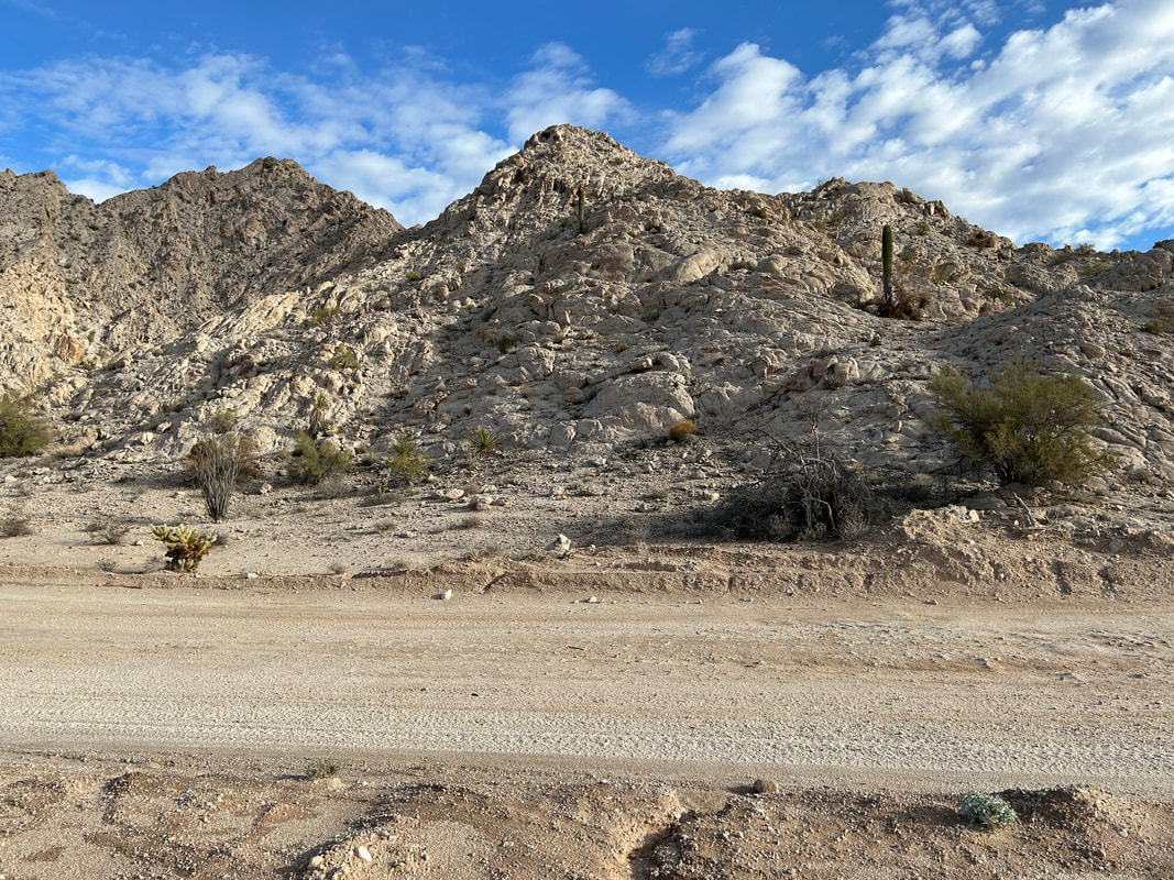
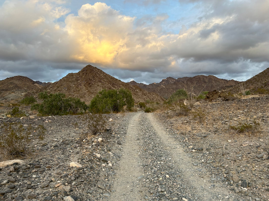
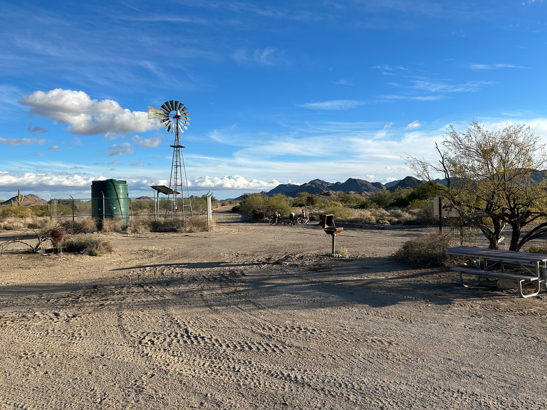
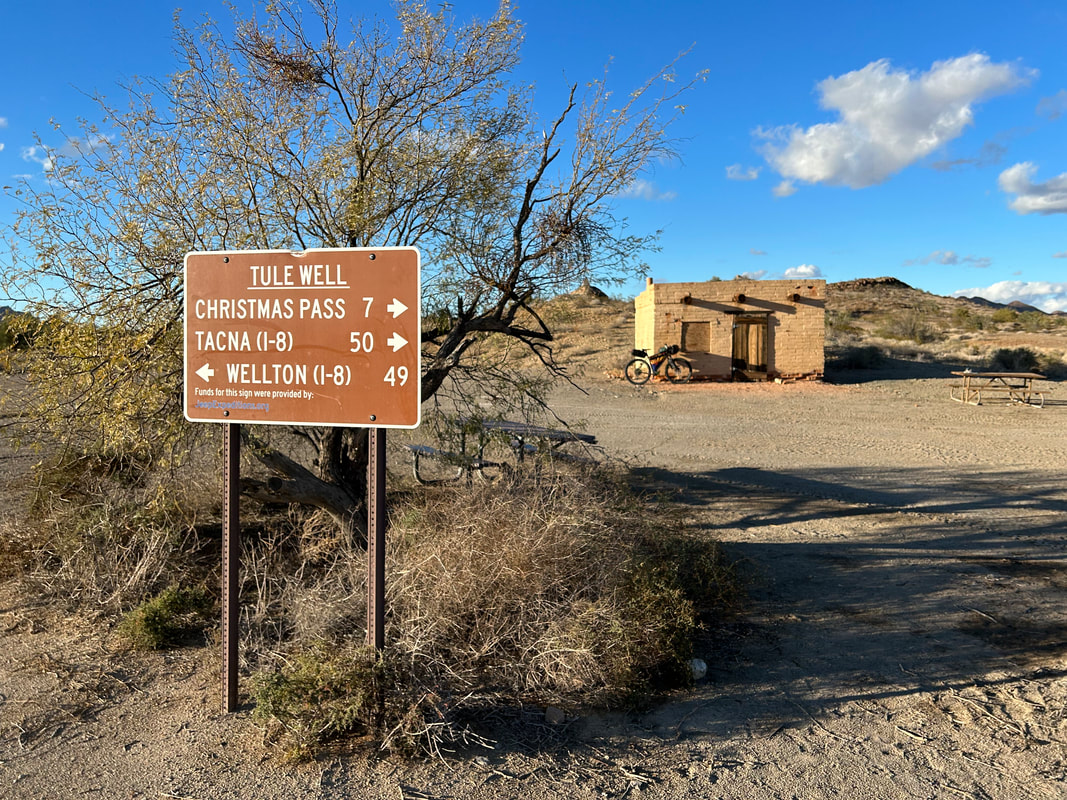
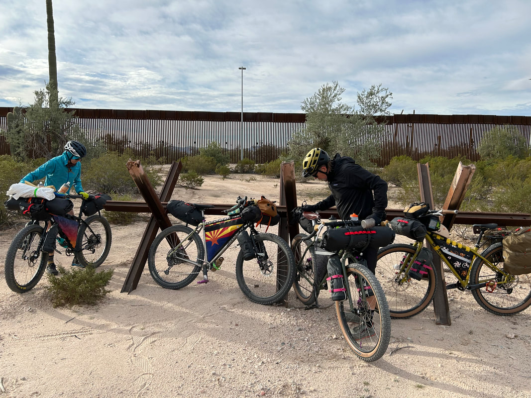
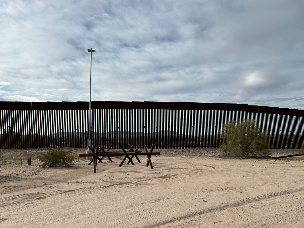
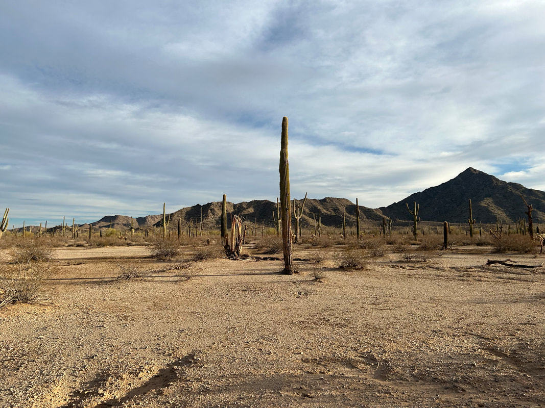
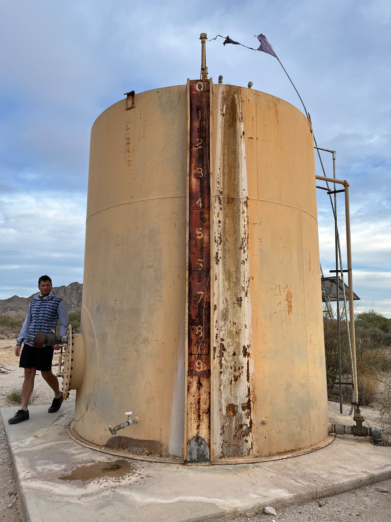
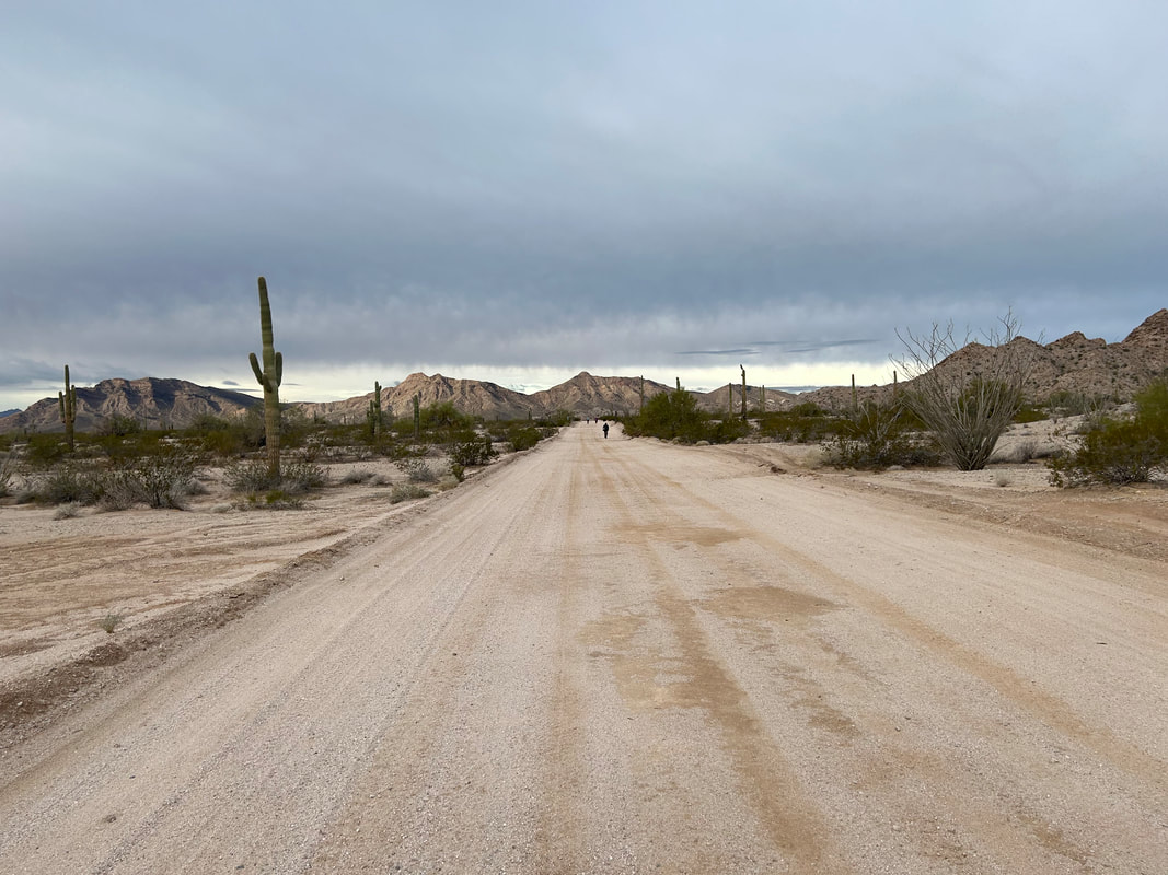
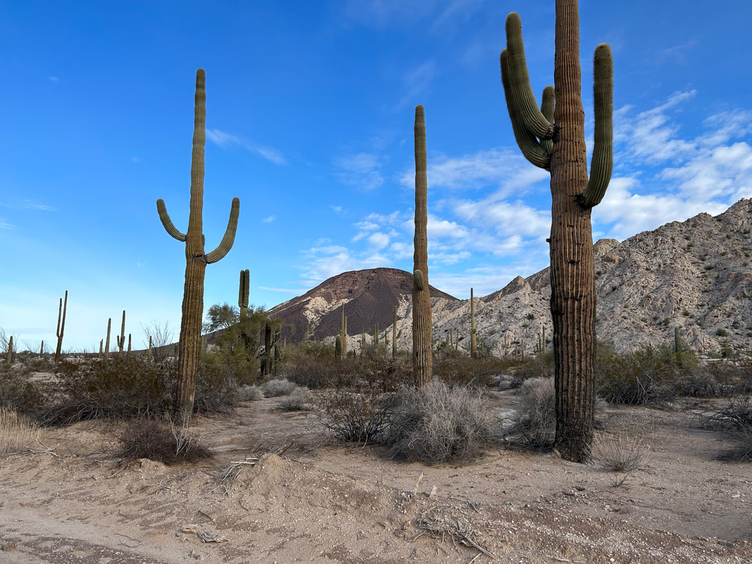
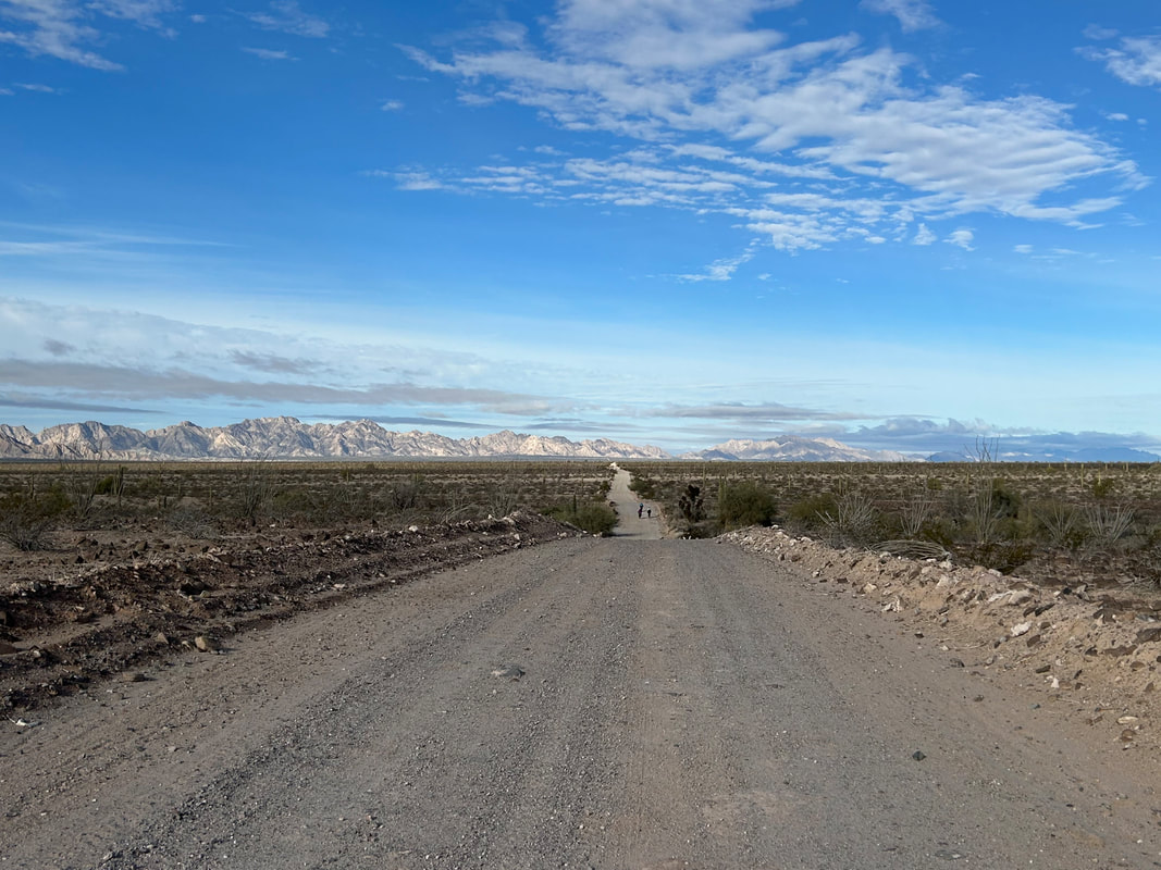
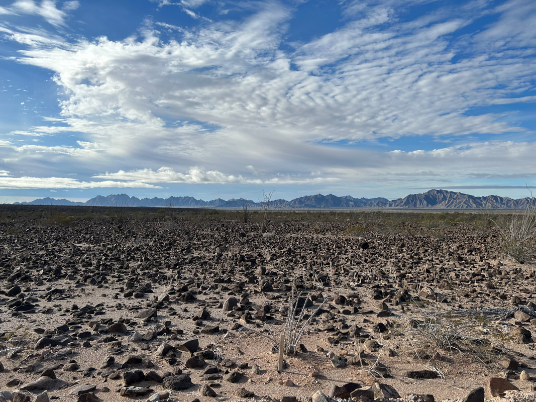
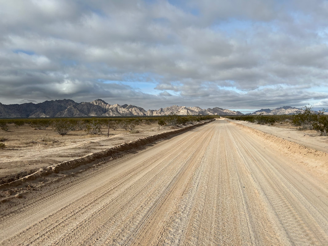
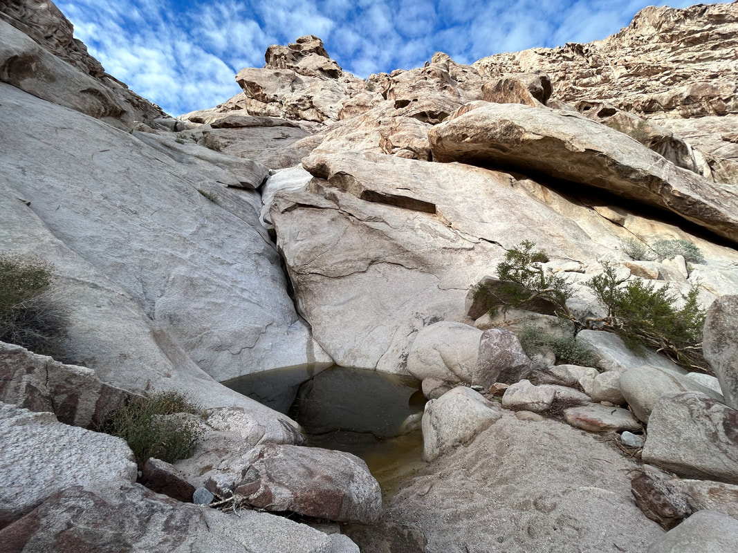
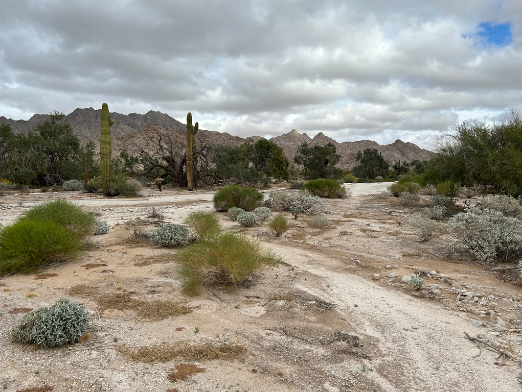
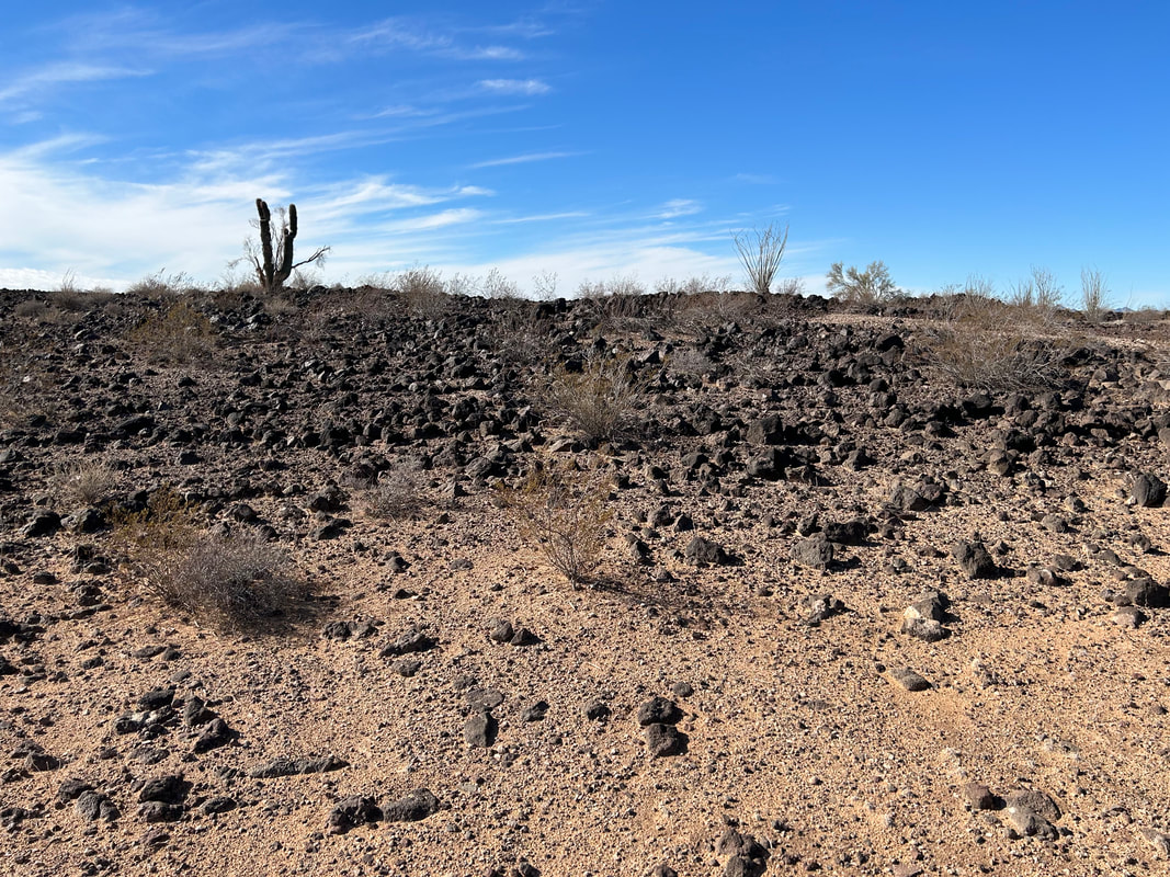
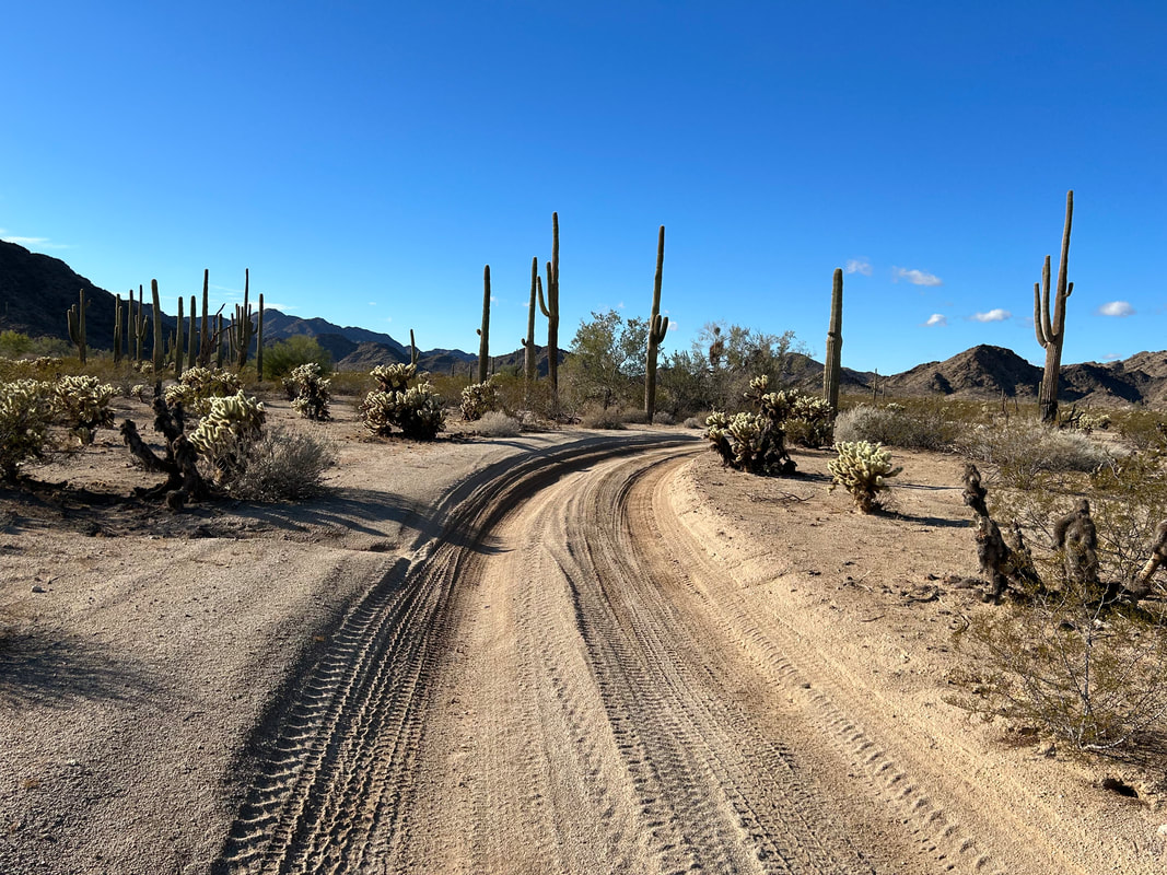
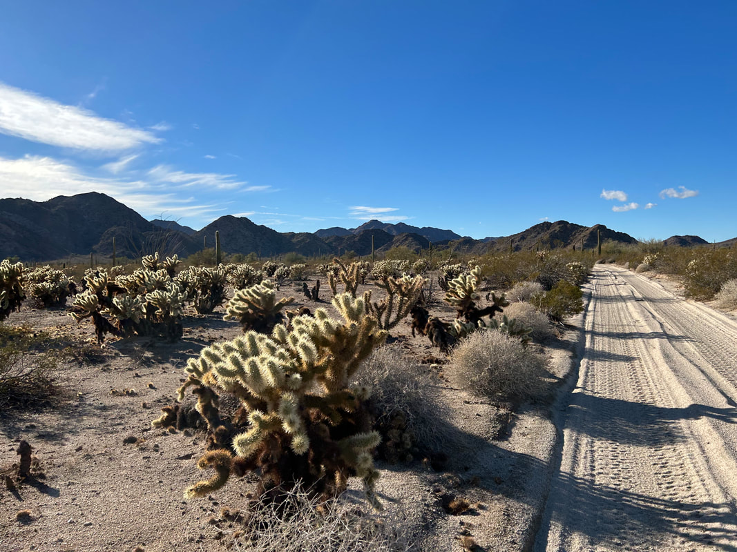
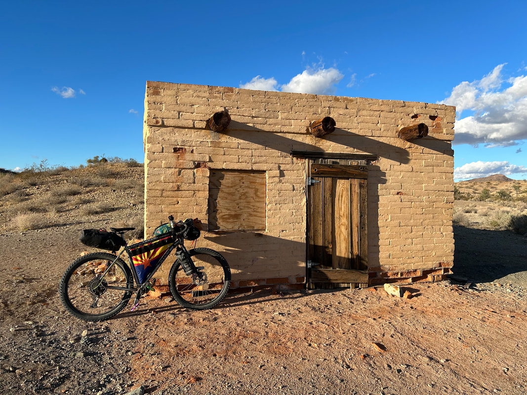
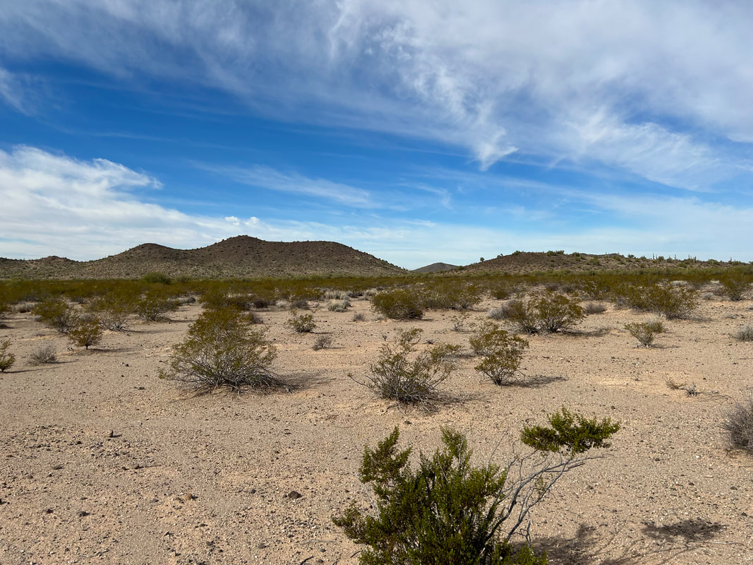
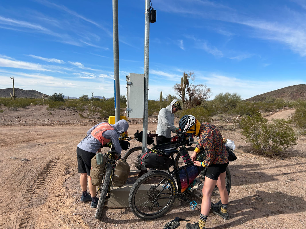
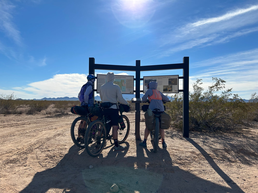
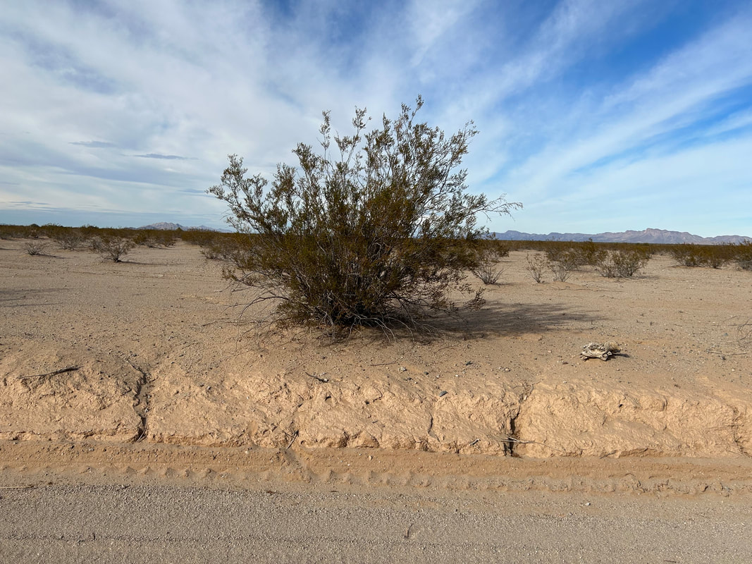
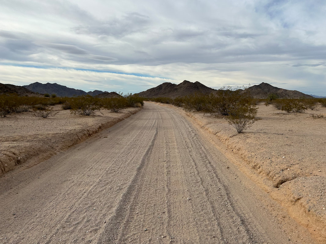
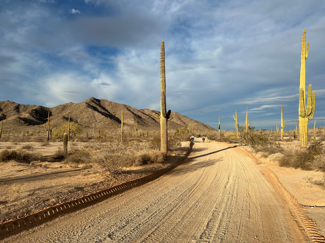
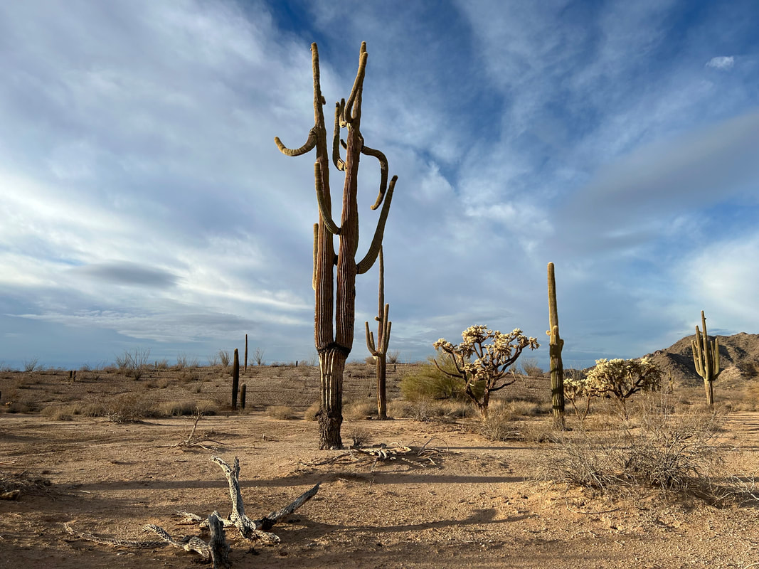
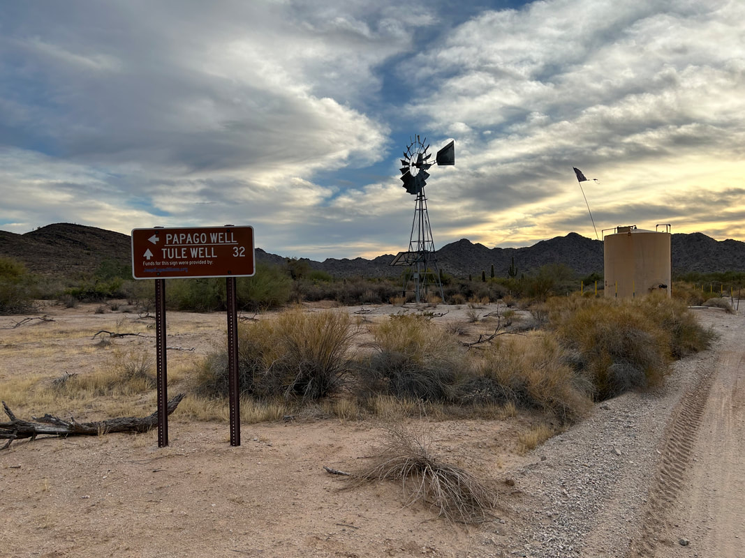
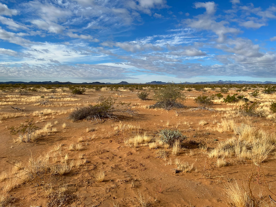  We entered some interesting cholla fields and saw the distant sand dunes preceeding the Pinacante Flow. Once in the Pinacate Lava Flow, the desert became pocked with ancient black pyroclastic material and spreads of gravel smooth land. The four of us approached the end of the Flow and found ourselves immediately back in the Pinta Sands. None to soon did a large 7-large overland group come driving from the opposite direction. Their vehicles packed down the deepest and worst sand we were approaching. That, combined with the rain from this morning, made travel relatively quick and painless through the sands. Granted, we were ascending ever so slightly in the middle of a desert wash into the middle of sand dunes, but the quality of our pedaling was efficient and required no hike-a-bikes. New stands of saguaros and ocotillos greeted us in the Tule Desert while chollas sprung up close to the foothills of the Tule Mountains. The road became widened - evidence of the frequent border all construction work. Approaching Tule Well, I finally found a coherent carbonite sign labeling the route for its name. All the other carbonite signs provided by the Fish and Wildlife Service were sun-faded and splintering. The Sun drift westwards to the horizon and we rolled into Tule Well and its namesake campground shortly thereafter. There was ample water and nearby, a small building nailed shut stood beneath a small hill crowned with an American flag and a series of marble/granite memorial blocks commemorating work and donations by local groups. We had the place to ourselves but debated where to best, and most safely, camp for the night. 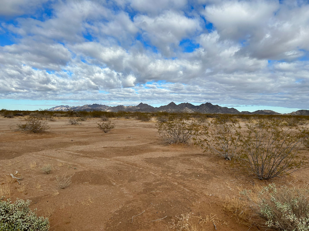 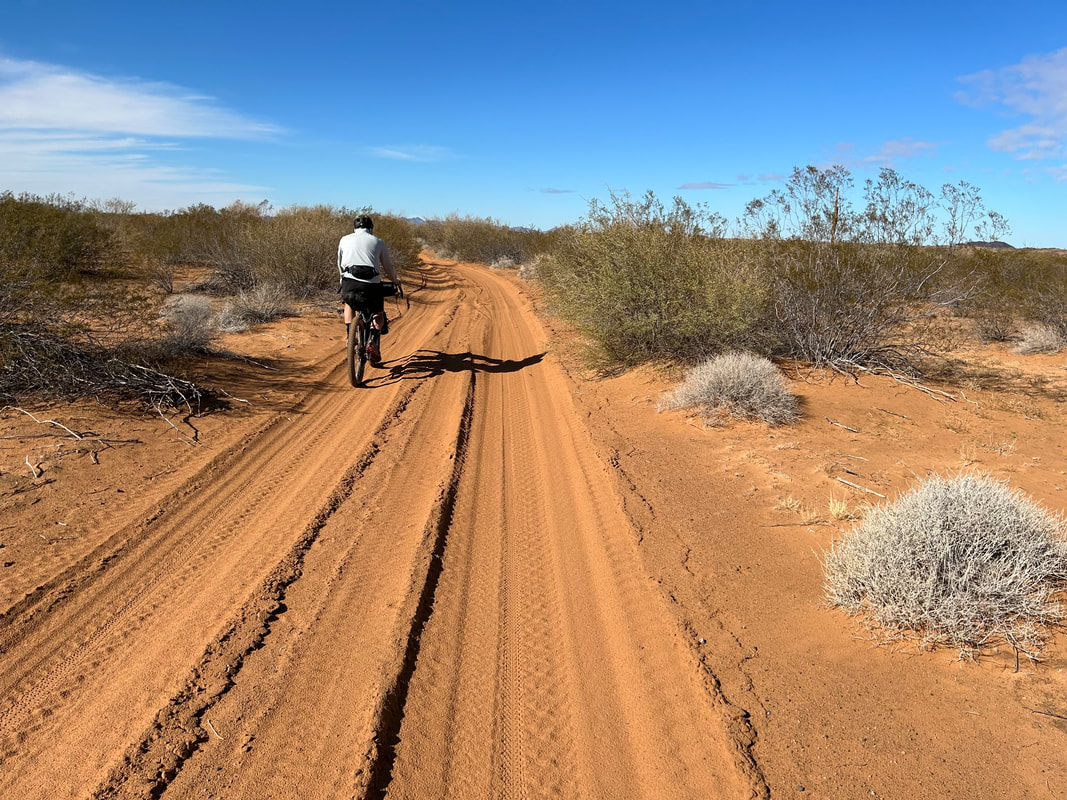
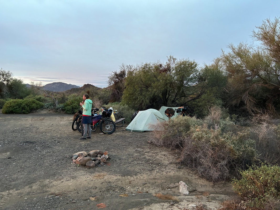
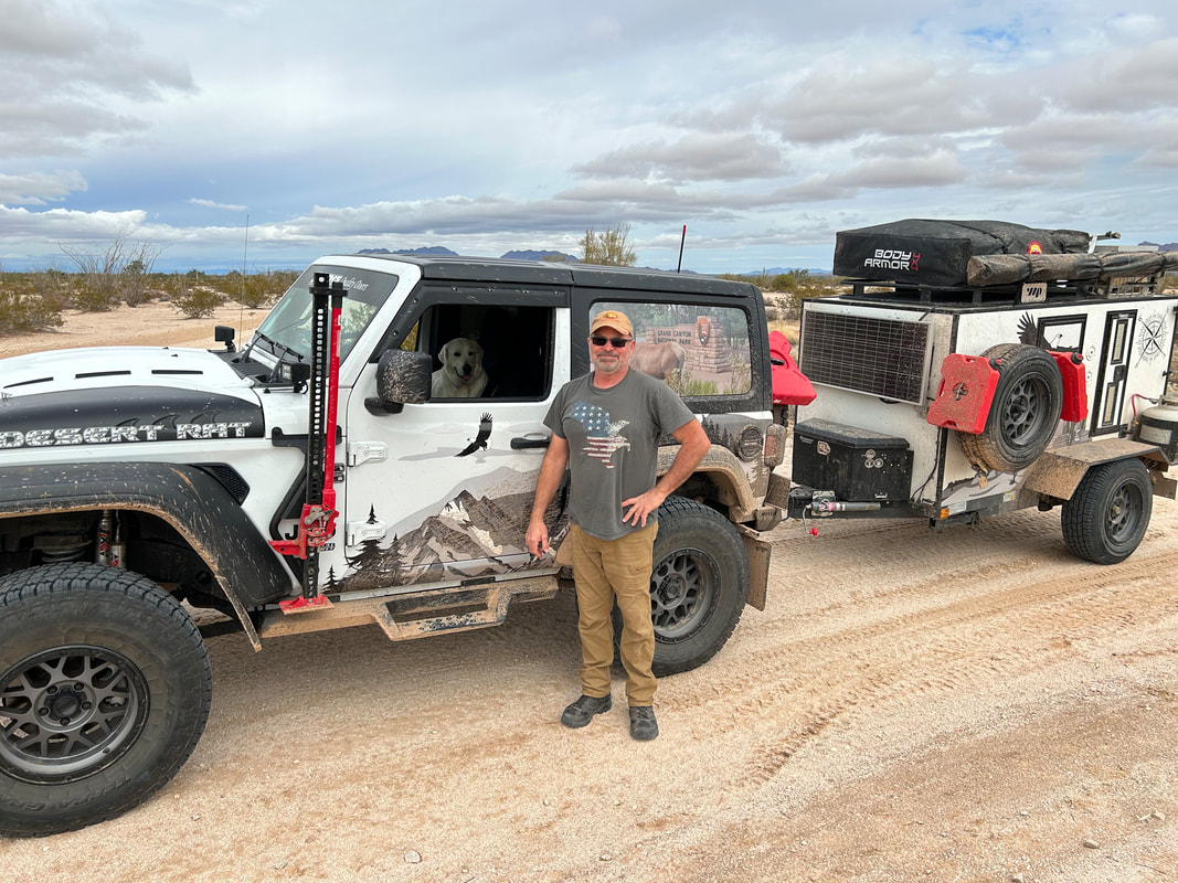
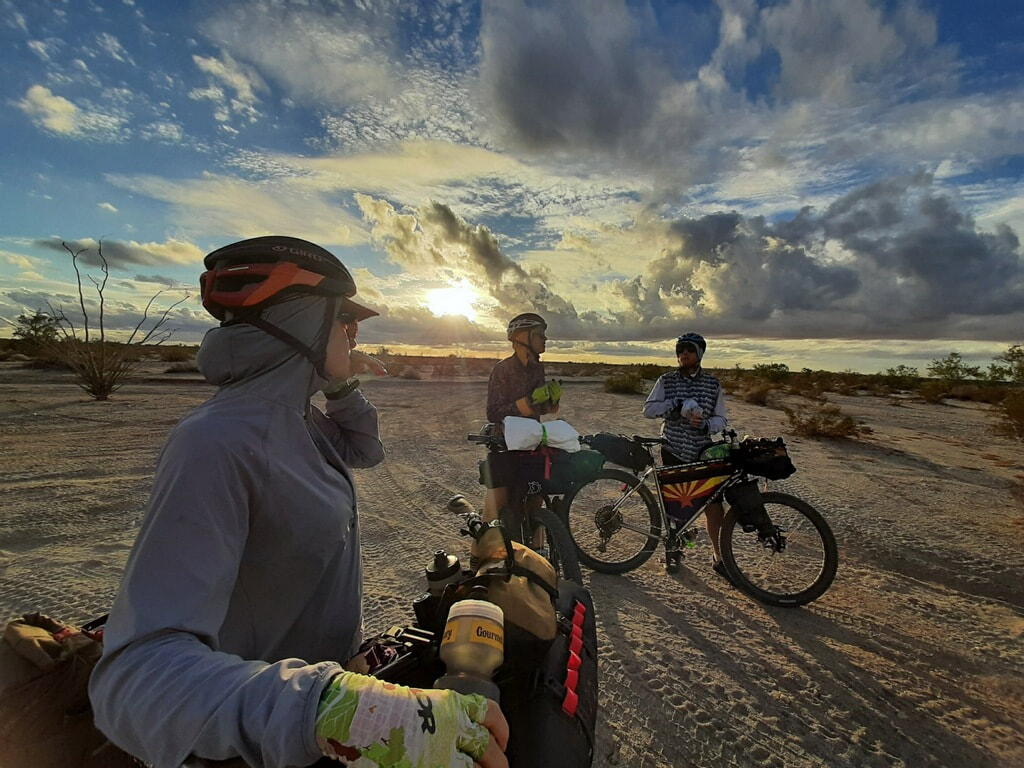
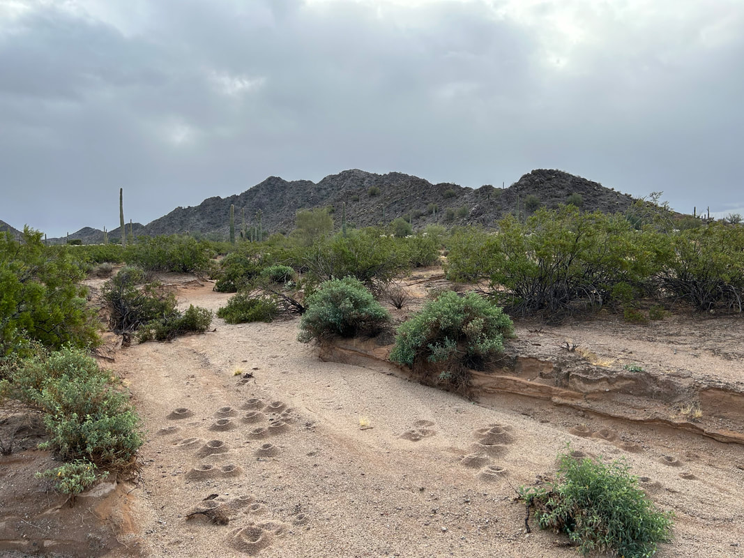
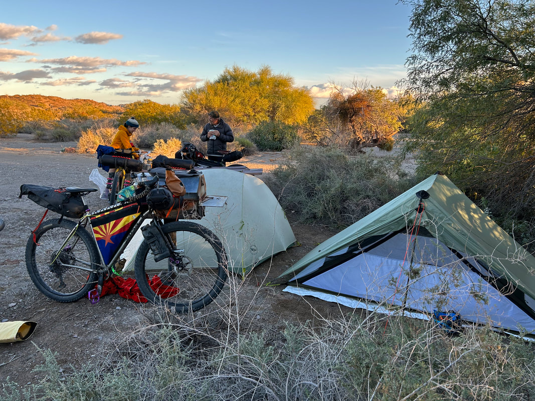
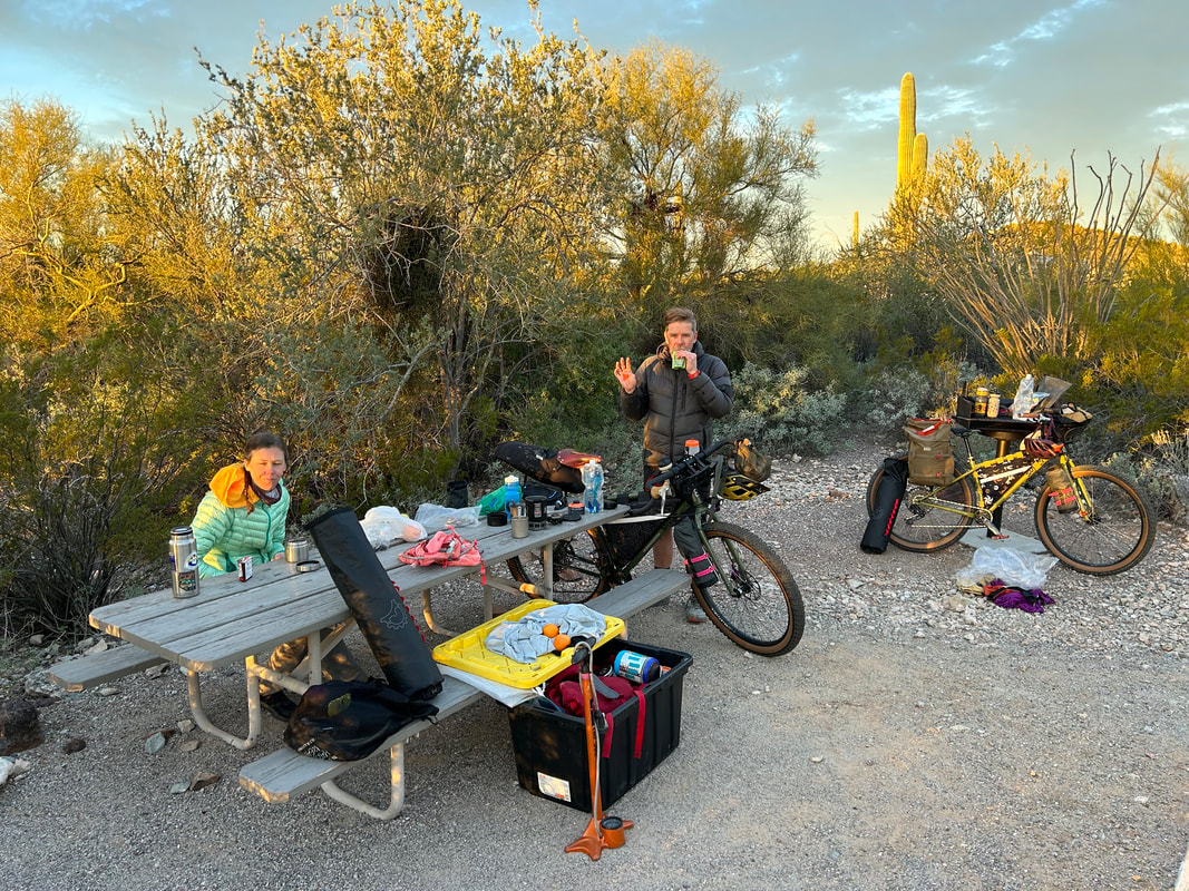
      The Tule Well spigot was located center and open amidst the picnic table campsites - a little to open and viewable in our sentiments. When we scoped the sites back in the mesquite, we found several right up against a large wash that had even more signs of human travel. Numerous travel paths led straight out of the wash into each of the campsites. Walking back into the desert a bit, we found several open holes of human fecal matter and a large amount of clothing. It was obvious that we were going to be camping again near the only water source for miles and most definitely in a crossing corridor. After much discussion, we chose a place out of the complete open, but not too far back in the mesquite where we could put both tents next to each other and swing the picnic table over as a small wall to prevent human travel through our site. As evening rolled in, a Jeep came rumbling down the road with an off-road trailer which pulled into the site next to us. A super nice guy named Alan, along with his curious golden retriever, came over to meet and talk for a bit. We proudly showed us his overlanding-trailer which he had built himself and let us know to call out to him if there was any trouble that night. After he left, we settled in to eat some dinner. Clouds gathered and the sun slipped unceremoniously behind cloud and peak bringing a brisk dark. We climbed into our shelters. Kate and I agreed we would only alert everyone to get up if someone was messing with our stuff, not moving by our shelters. The latter was expected that night. I shoved some earplugs in to get a good night's rest and passed out in the uniquely humid desert night. 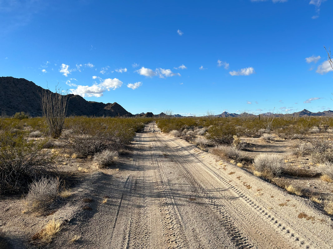 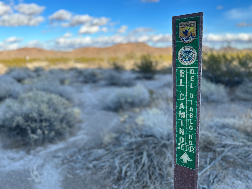 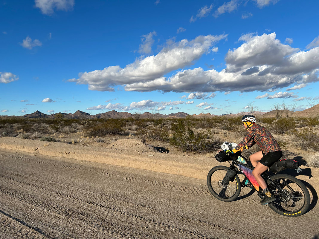 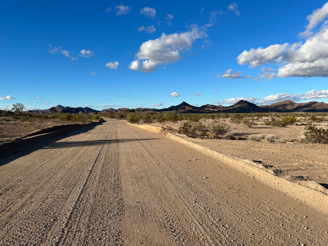
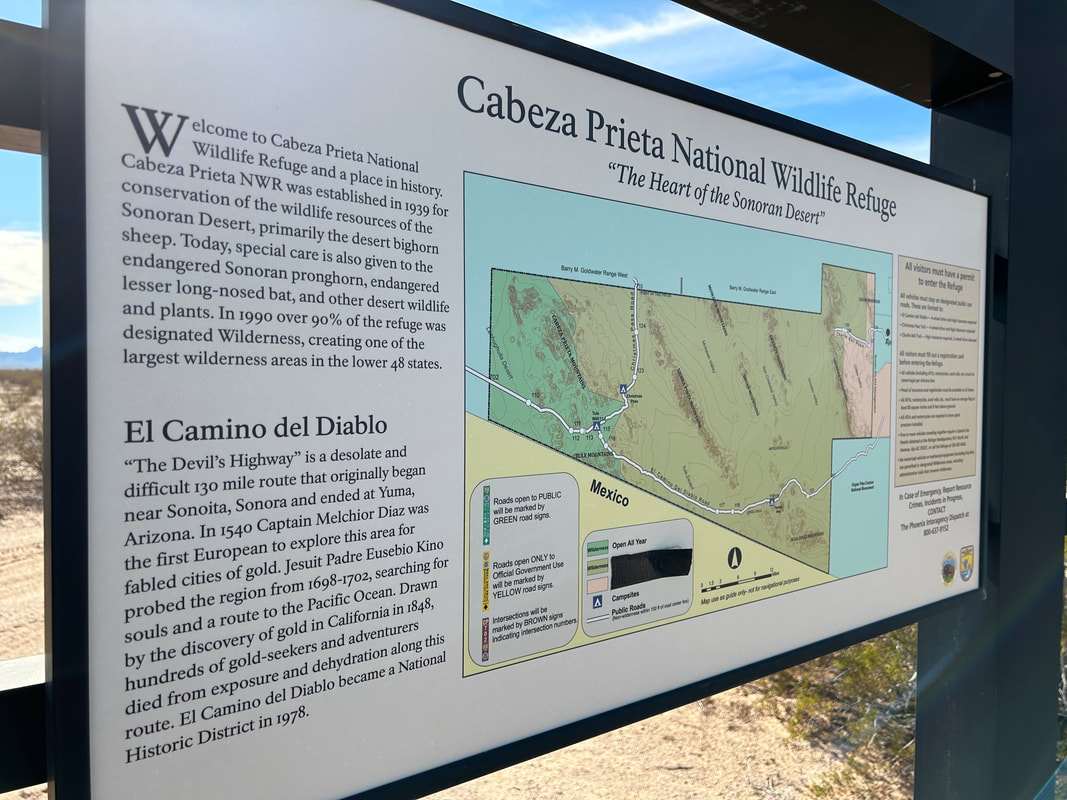
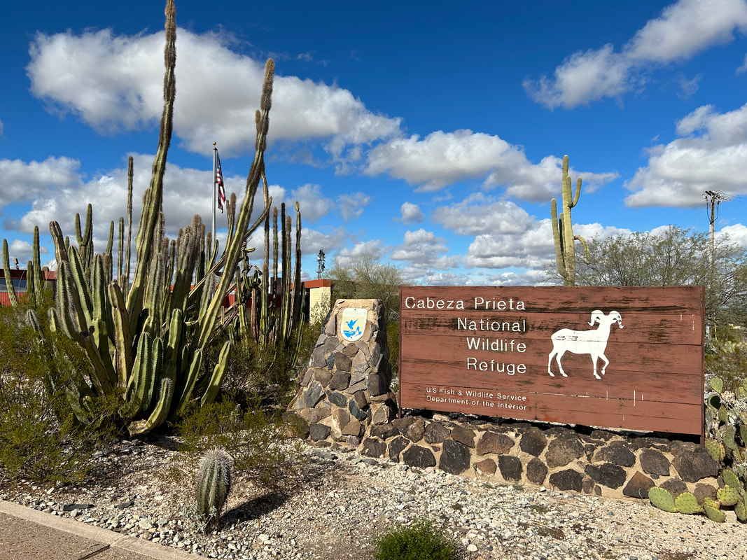
For five years this route has been on my mind. The El Camino del Diablo is a historical travel corridor that traditionally started in Sonora, Mexico and extended to Yuma, Arizona. The Devil's Highway has been and still is a remote swath of Sonoran Desert, undeveloped, and miles from any paved highways or towns. Contemporarily, it extends from just southwest of Ajo, AZ to Yuma, AZ. It's traveled predominately by people recreating by overlanding, Border Patrol, or immigrants heading north. A few years back, Bikepacking.com posted the El Camino del Diablo Bikepacking Route which follows the current route save for a stint at the end that winds up and through the Gila Mountains by Fortuna Mine before making its way into southeast Yuma. Janna and I have wanted to ride it for years, but (a) conditions haven't been excellent over some of our winter breaks, (b) we couldn't find anyone to join us, and (c) we were tied up with other obligations.
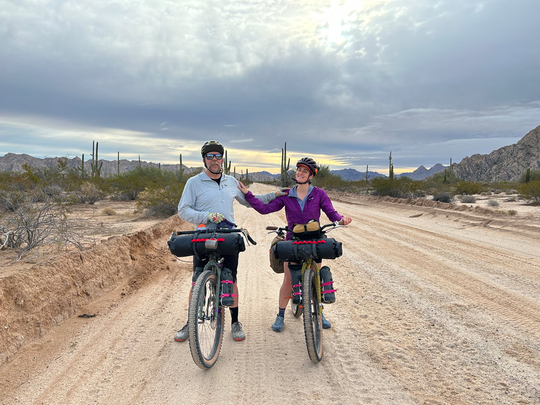
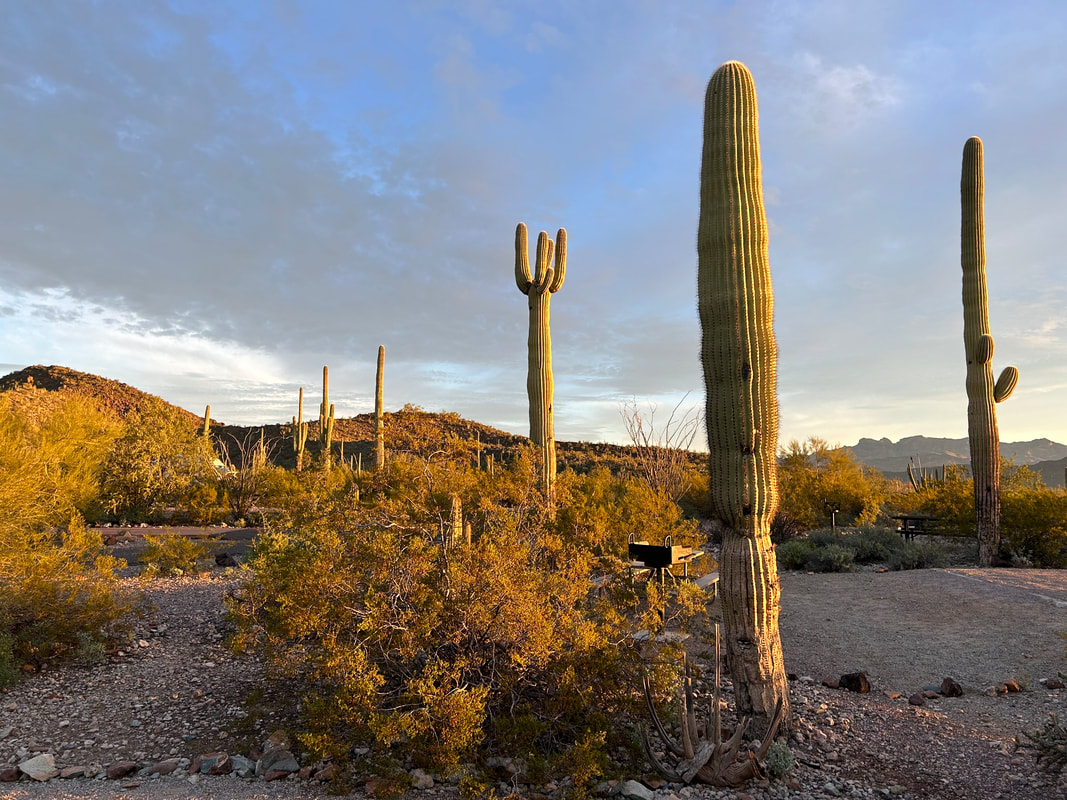
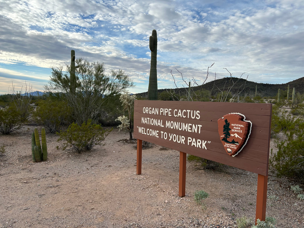
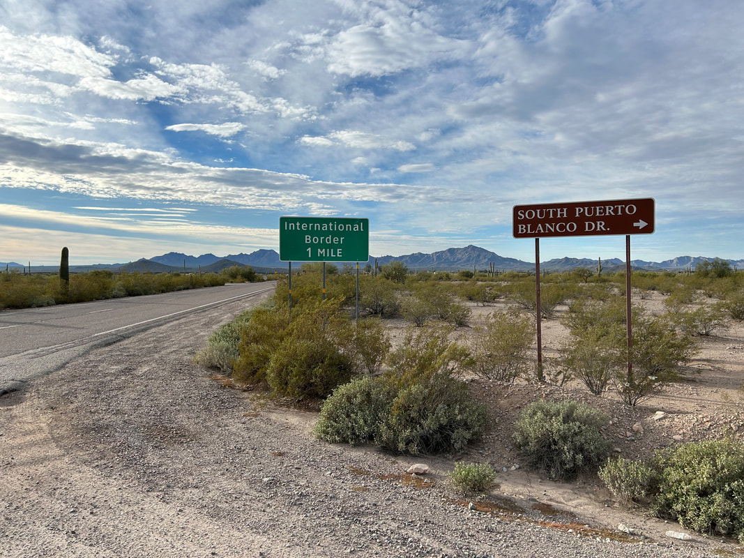
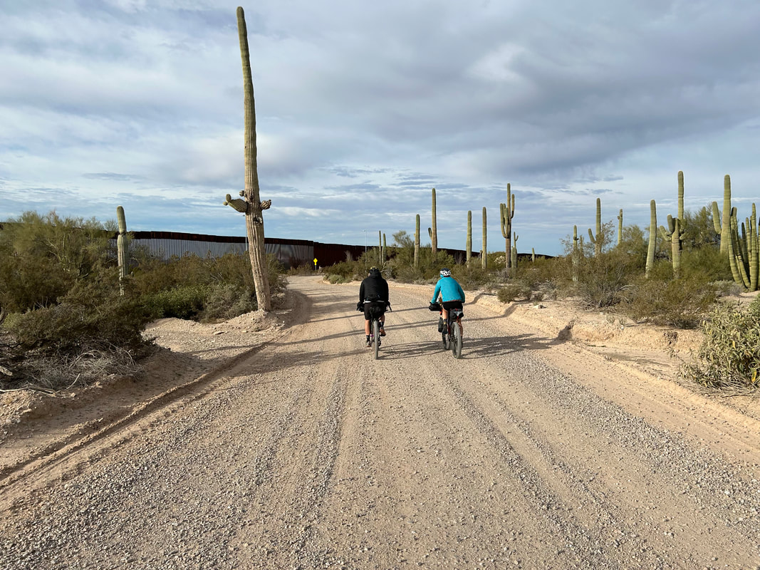
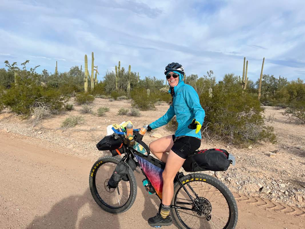
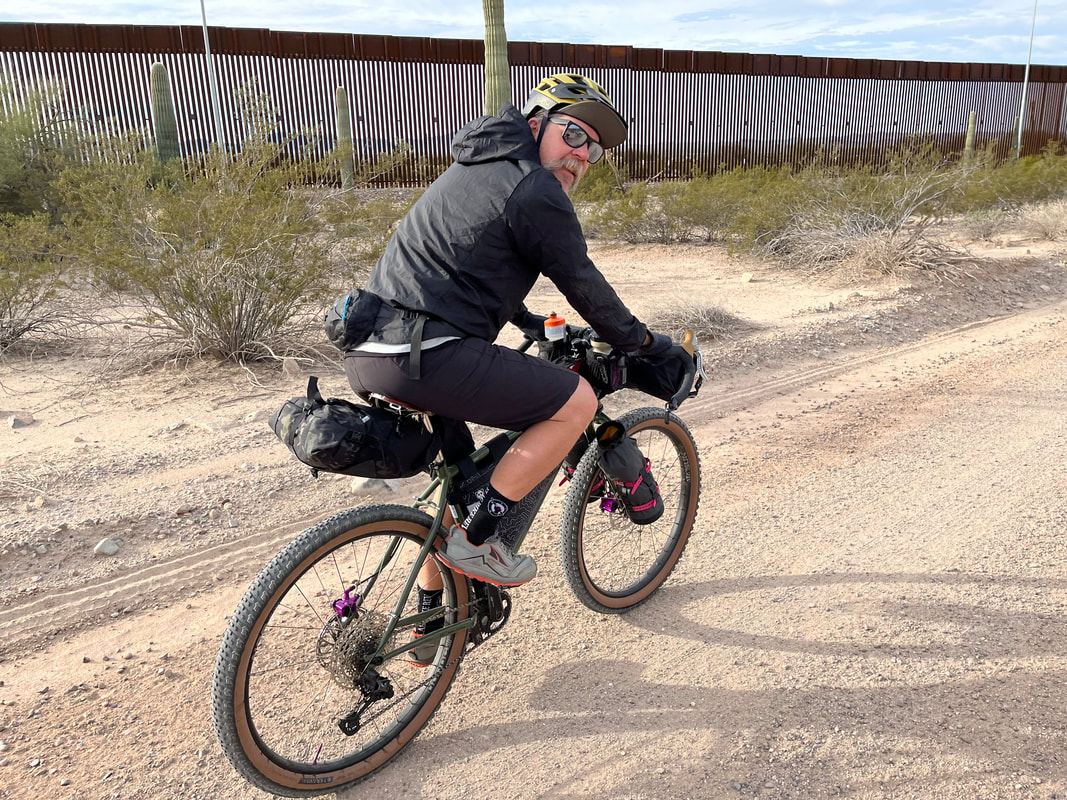
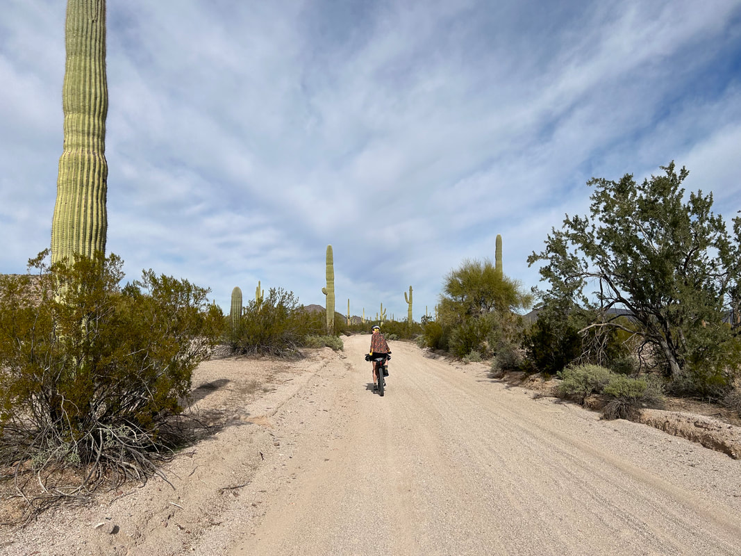
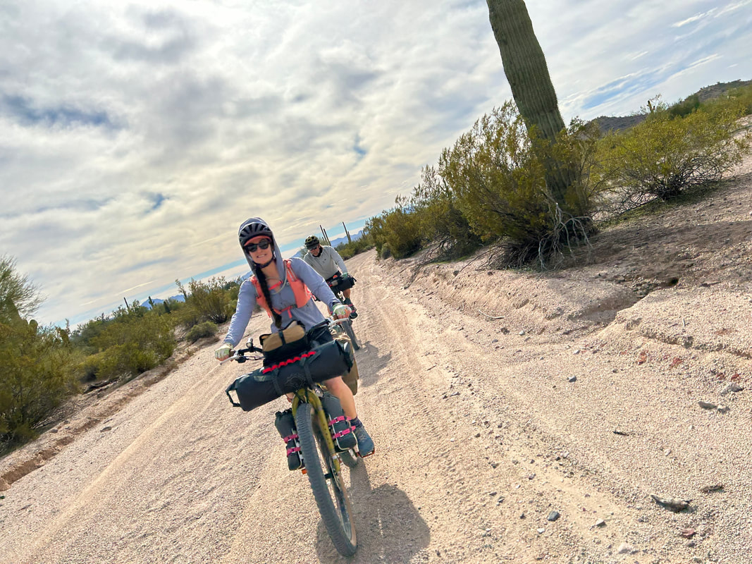
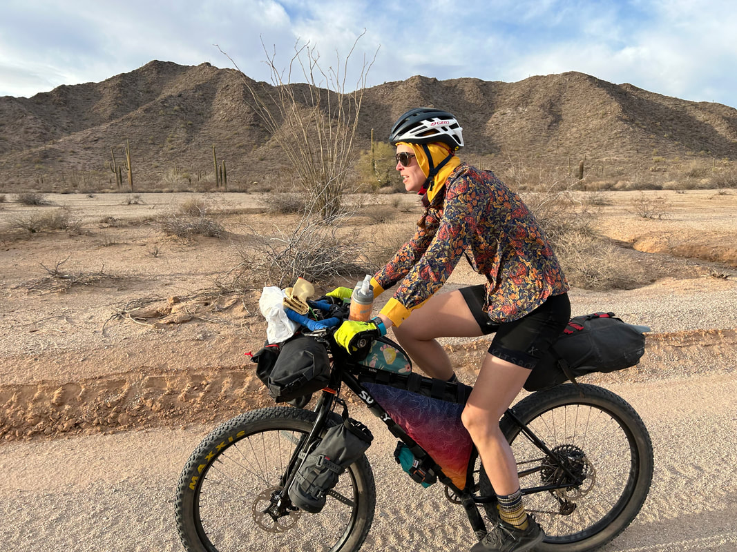
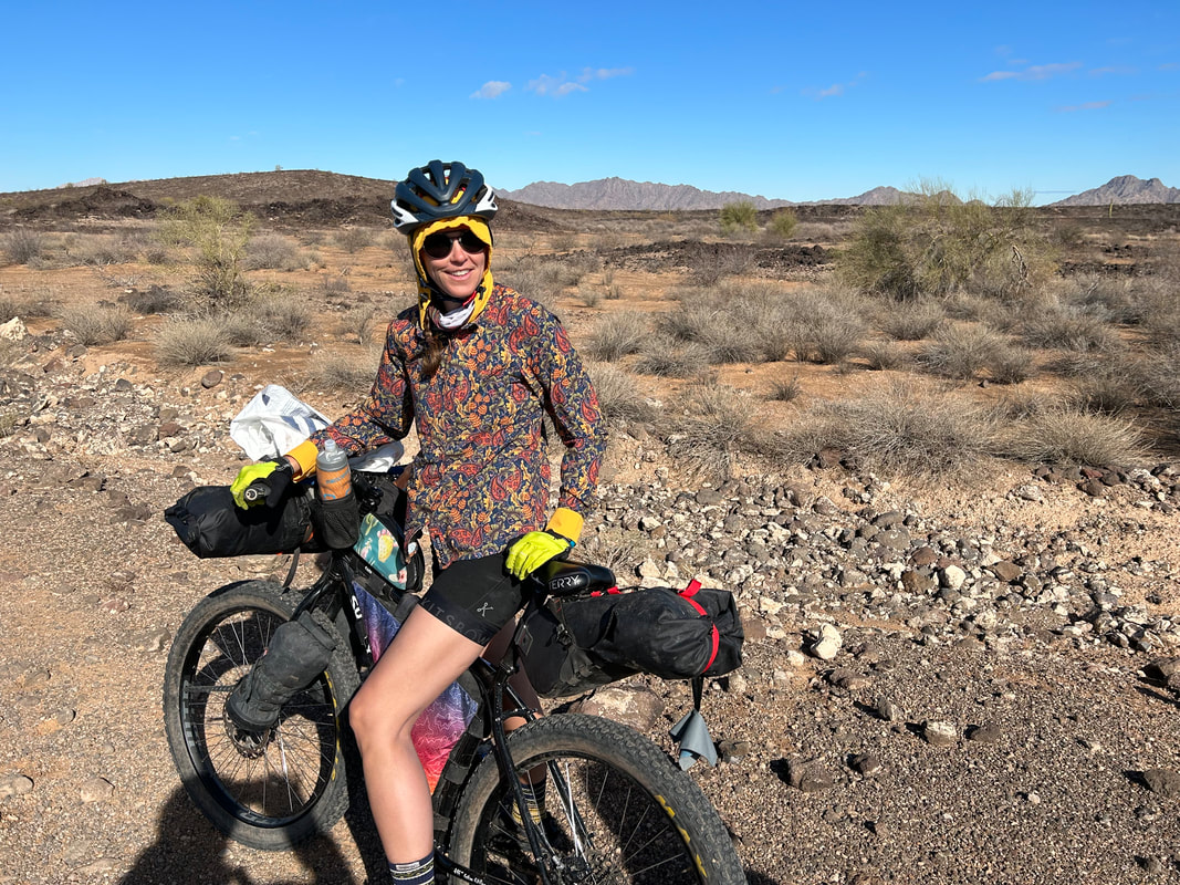
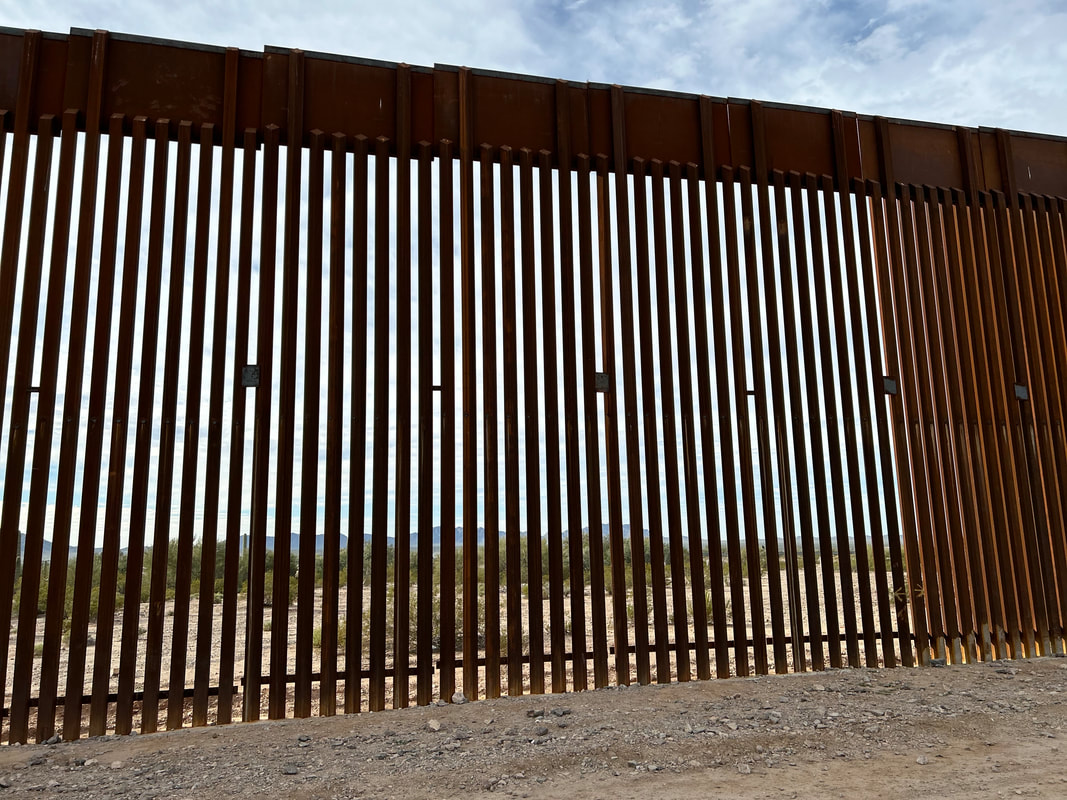
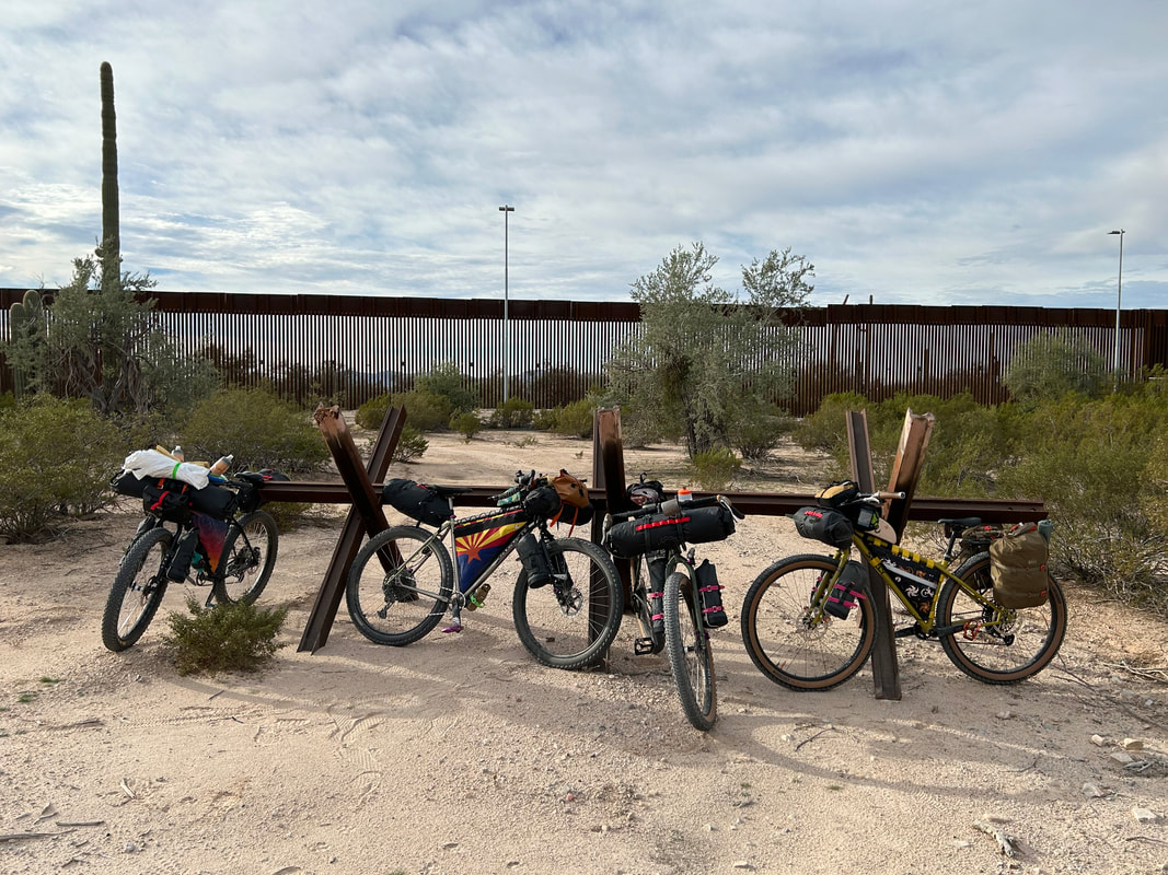
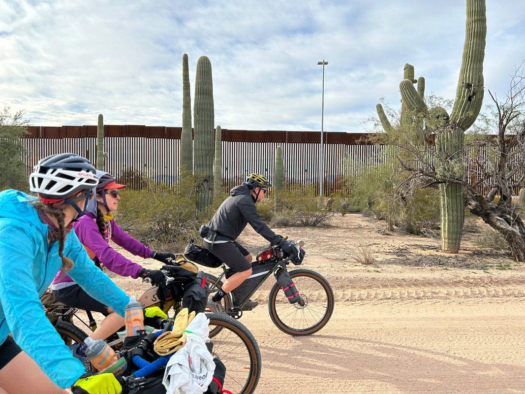
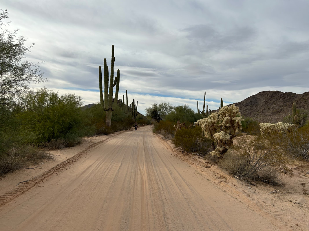
After Kate joined us to bikepack the Sky Islands Odyssey again this past autumn, we ran the El Camino del Diablo by her. She said Dan and her were both in. With time off secured and winter break arrived, Janna and I packed up our plus bikes and headed down to the border. We drove to Yuma where Kate met us. We left her car with permission at the hotel we planned to finish at, piled into our vehicle, and drove across the state to Organ Pipe Cactus National Monument. The four of us camped at Twin Peaks Campground in Organ Pipe Cactus National Monument the night before. While the rest of the state was wrestling with snow and plummeting temperatures, we walked around in shorts past twilight and enjoyed the warmth of the bottom corner of AZ. We had decided to make an alternate to the start of the route by riding out from Organ Pipe Cactus NM down to the border wall and taking the Puerto Blanco Drive down and around to Quitobaquito Springs and then up to intersect the route-official on the north-end of the park. We secured permission from Organ Pipe to leave our car at the Visitor Center. This would allow us to bike one of my favorite rides in the area again in addition to checking in on the Springs. Ever since the end of the Trump presidency and the surge of wall-building that coincided, I've been super concerned with the state of that unique water habitat. Morning came with the promise of golden light and perfect temps. We packed up the campground, bundled the vehicle at the Visitor Center, and pushed off down the highway towards the international border. Light spread thickly through cirrus cloud across the lush vegetative landscape where saguaros mixed with creosote, palo verde, mesquite, senitas, and the iconic organ pipe cactus found only here at this southern tip of the United States. The shear biomass of plant life was stunning, accentuated further by the copious winter rains this year that left the park brimming with swollen greens amidst the landscape. We veered left Puerto Blanco and soon were greeted with the grated desert-slice of the wall. It still shocks me how much this area has been impacted by the push to build it. Years ago, Janna, Darren, and I rode this route when there was no wall (only vehicle barriers), and desert peaks along the southern border were spiked and rounded by thousands of years of erosion and biotic breakdown. Now, a severing concrete road chunneled through each range met along the border along with the stories-high fence.

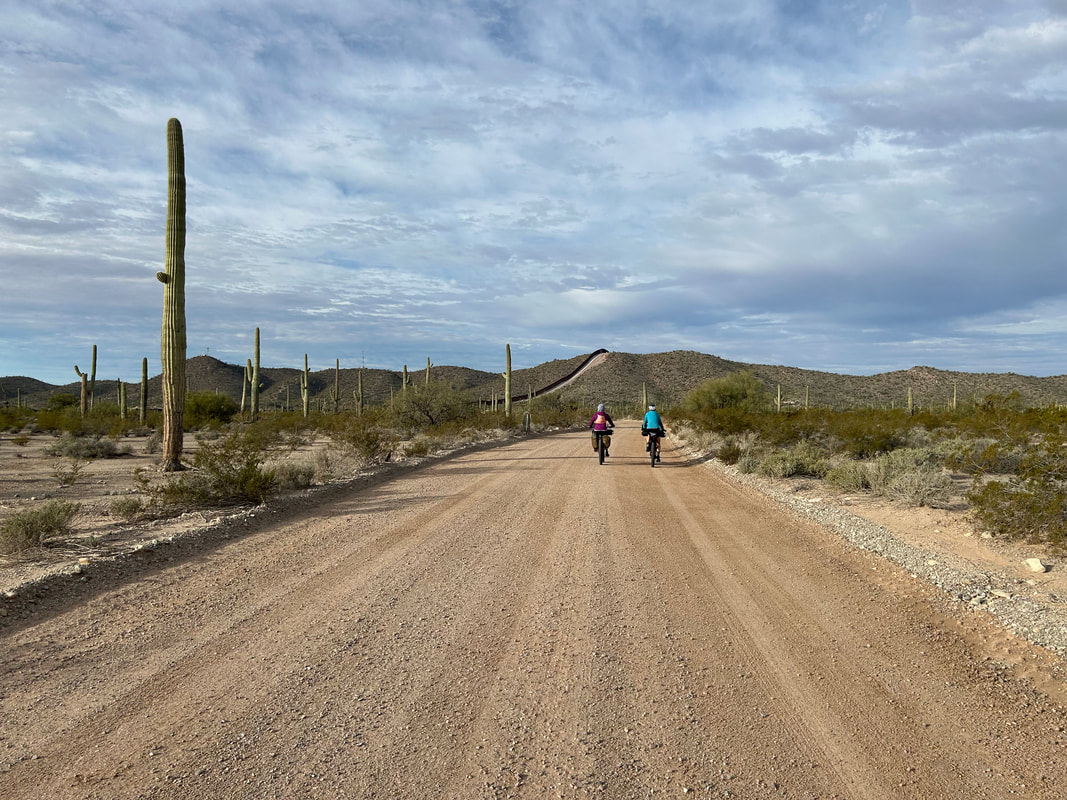
We rode along the border wall for miles stopping to take copious photos of unique cacti and the wall itself which, regardless of feelings, trained the eye to draw along and upon it. It was massive, scraping landscape, and linearly disrupting the natural flow of the Sonoran's plant and animal communities. We sped along the metal barricade all the way to Quitobaquito Springs. Here, I was stunned to see a sterile water source. Instead of the rich pond with feeding spring water filled with Sonora mud turtles and Quitobaquito pupfish, I instead found a murky green water-soup devoid of any plant life in its littoral zone. A single pied-billed grebe swam in the middle. The edges had been plowed and artificially evened. The water level had dropped from groundwater pumping served to mix concrete to build the wall. I walked the circumference of the spring, crestfallen for the barren shore. I walked to wear the spring fed into the reservoir and found that there was a single deep pool, clear, and filled with pupfish.
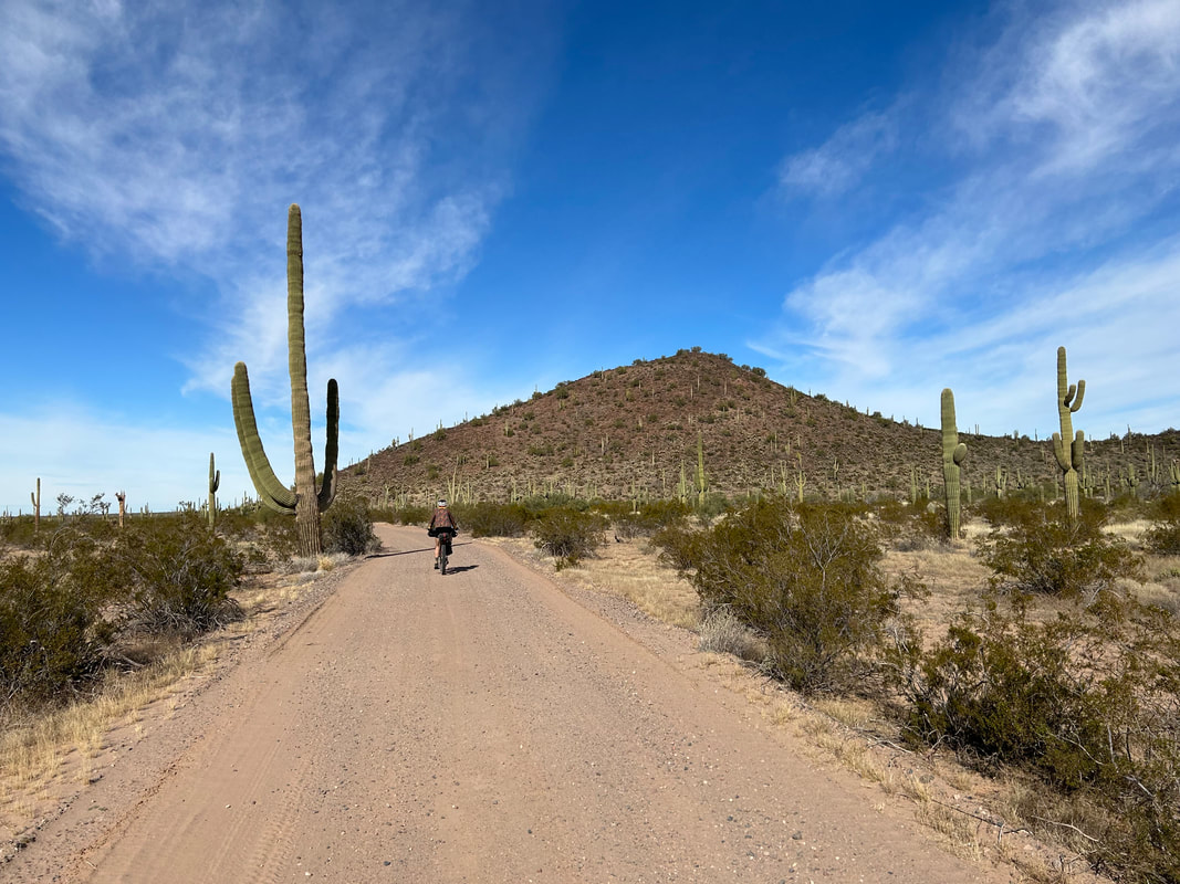
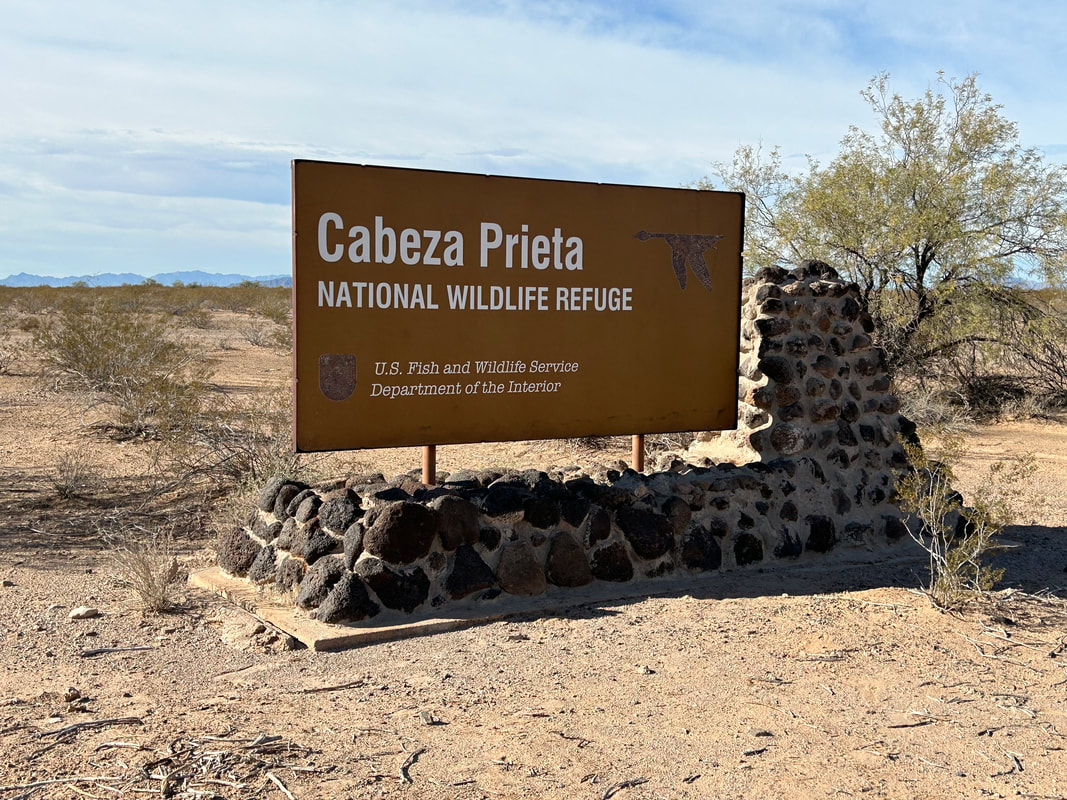
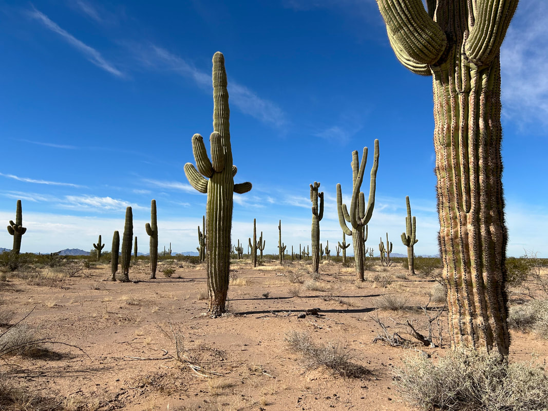
After that, we jumped on our bikes and headed to the northern boundary of the park to intersect with the El Camino del Diablo's official route. We poured onto a desert sand wash and wound up through saguaro swollen from winter rains. The ground firmed up and swept west from the southern arc of the Growler Mountains. We rode across the massive alluvial plans smoothed flat with sediment sand and silt. At early afternoon, we reached the boundary between Organ Pipe Cactus NM and the Cabeza Prieta National Wildlife Refuge. The Cabeza Prieta is famous for its population of Sonoran pronghorn, a highly endangered species that are 3.5 feet high at the shoulder, light in color, and evolved to live in this cactus-scape (quite different from the grassland/savannah habitats of their common western relatives). We headed down the El Camino-proper and started fishtailing in the first sand of the trip. It wasn't unmanageable with our 2.8 inch tires and we grinded through. We passed by a border patrol remote outpost and several trucks with military personnel drove by us heading in the opposite direction. 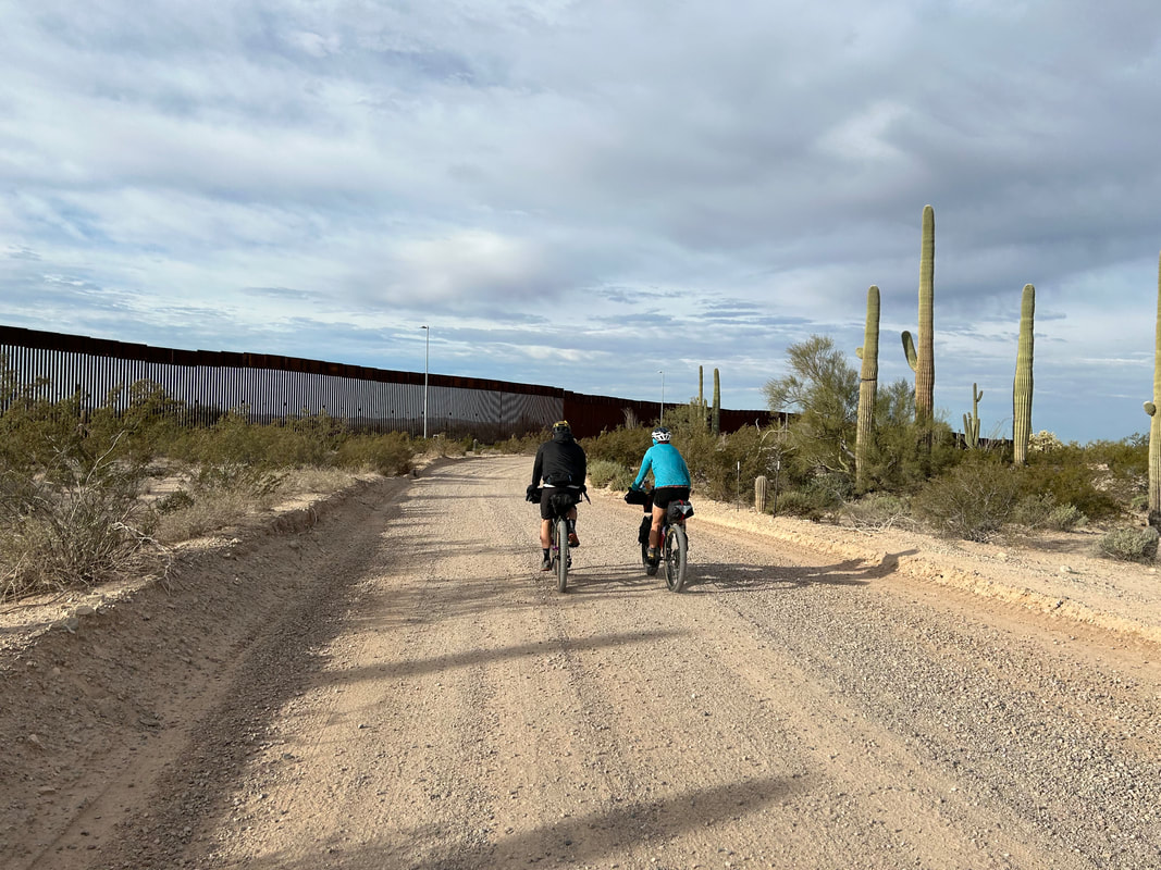
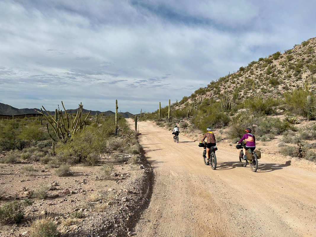

By late afternoon we rounded Sheet Mountain, passed up Cholla Pass, and came into the Agua Dulce Mountains. The splinter of light through clouds washed the landscape in sepia which steeped it in additional beauty to my mind. Saguaro stood stark against beige-blasted peaks and spindly ocotillos casting sharp shadows around us. The sun drifted west and hit us full on as we approached Papago Well and its designated campground - our intended camp location for the night.
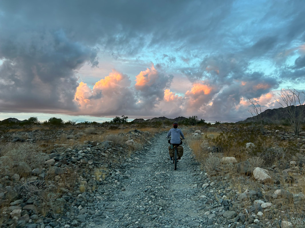
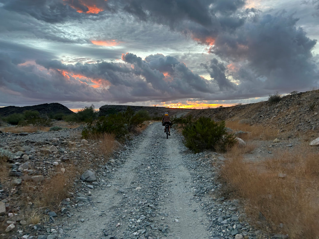
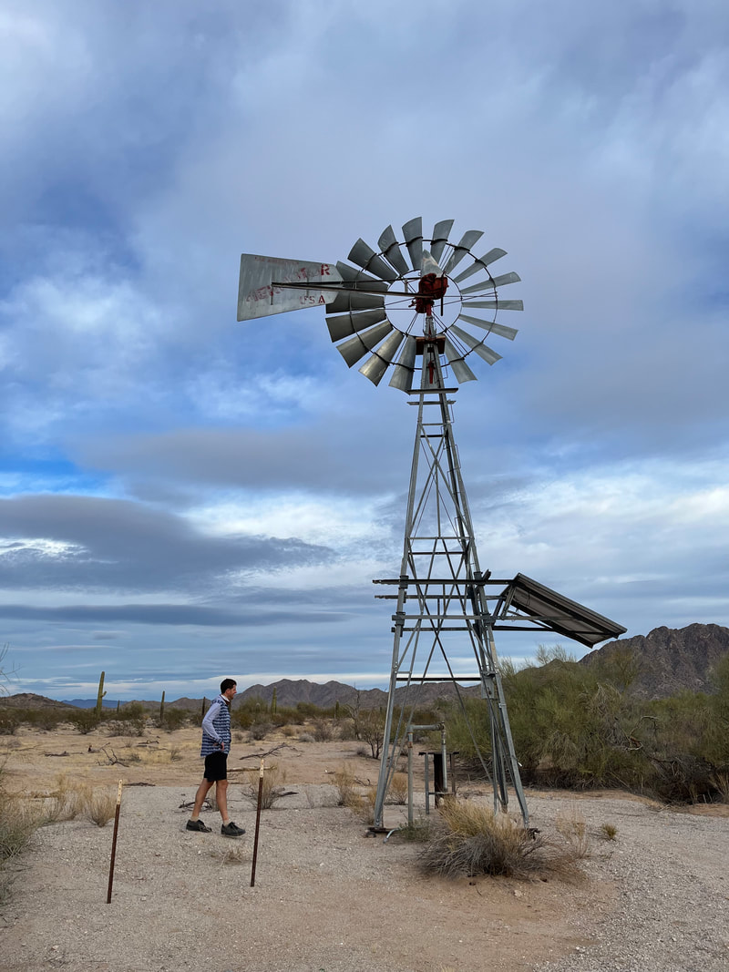
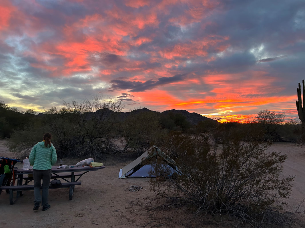
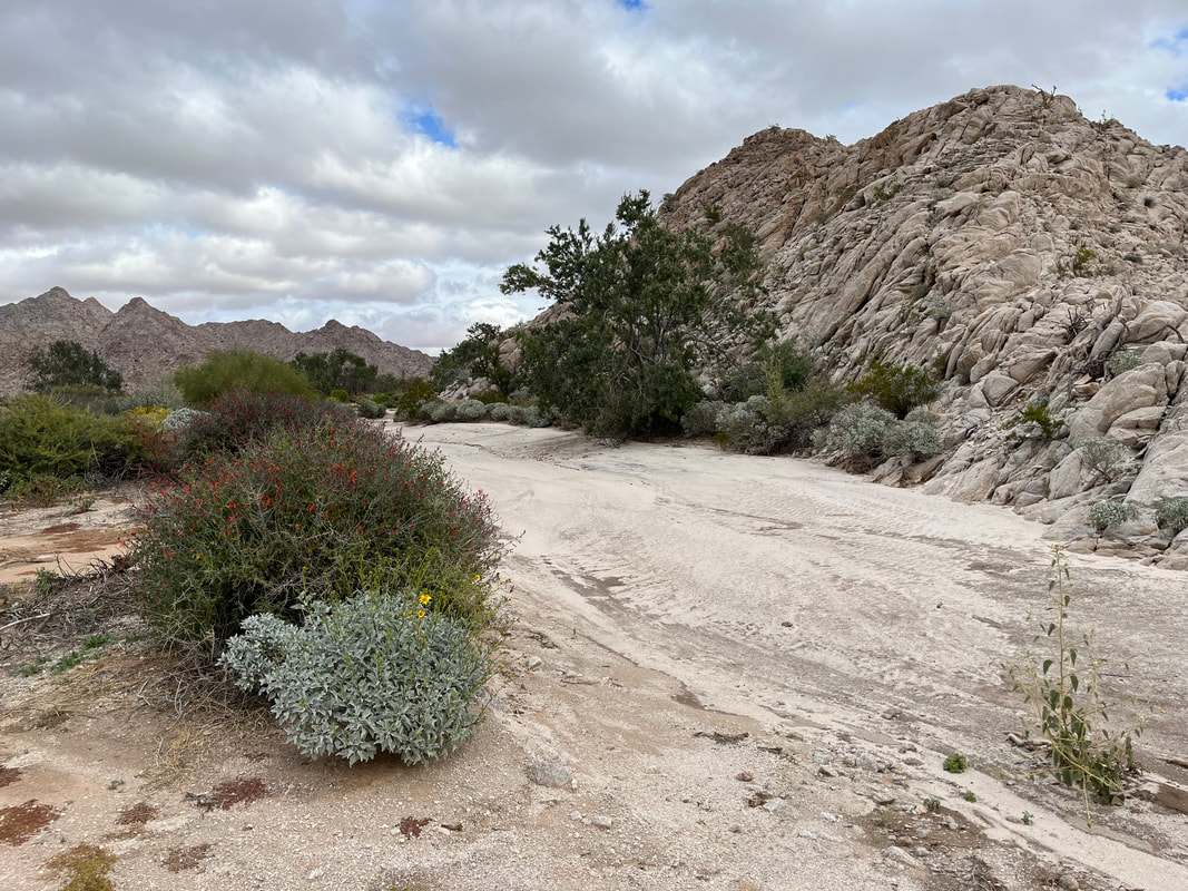
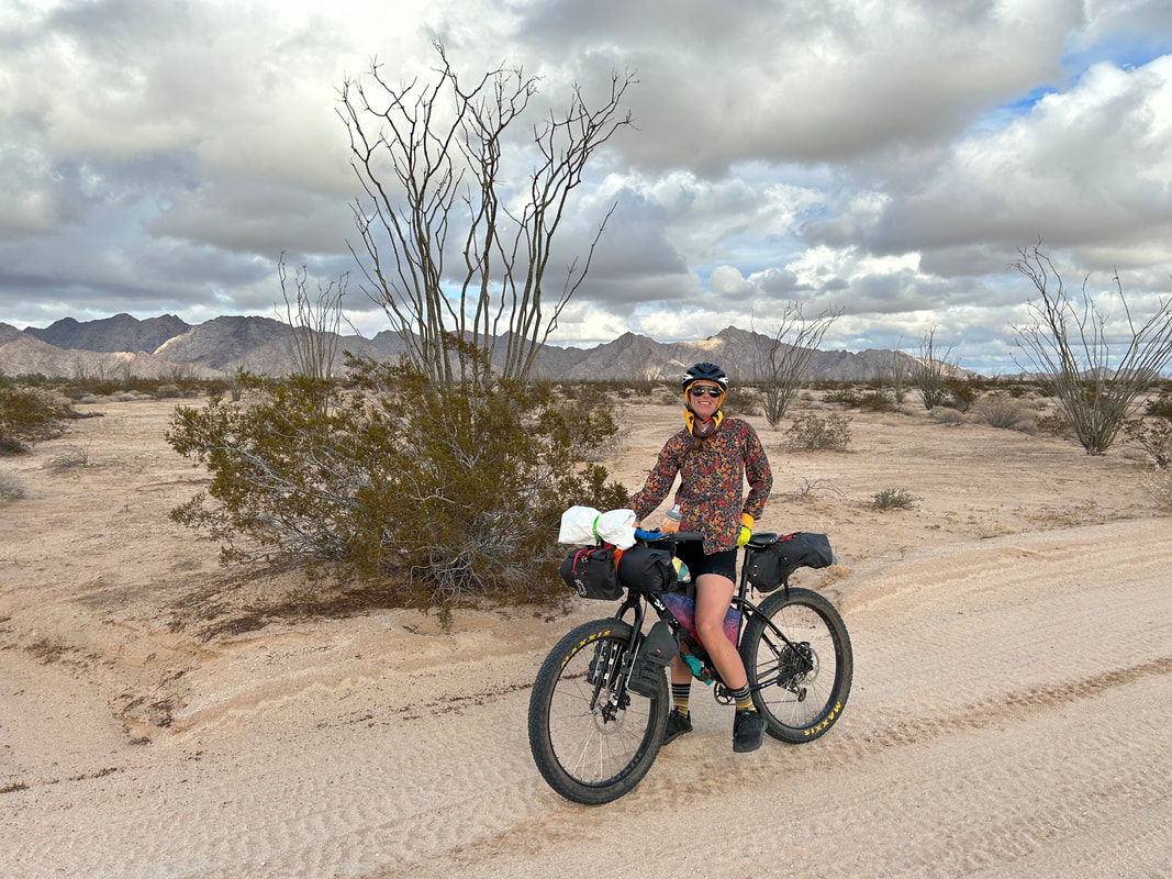
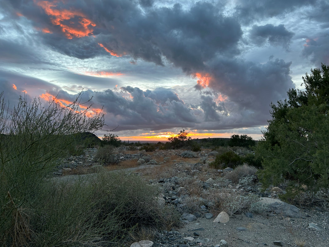
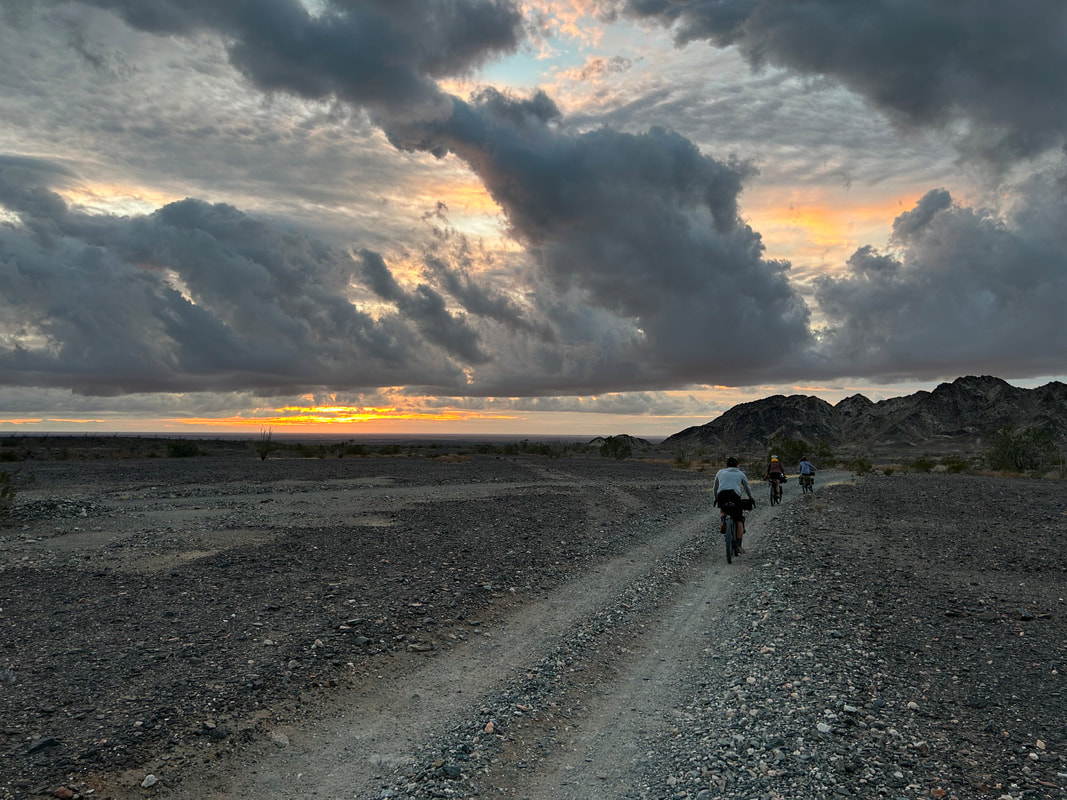
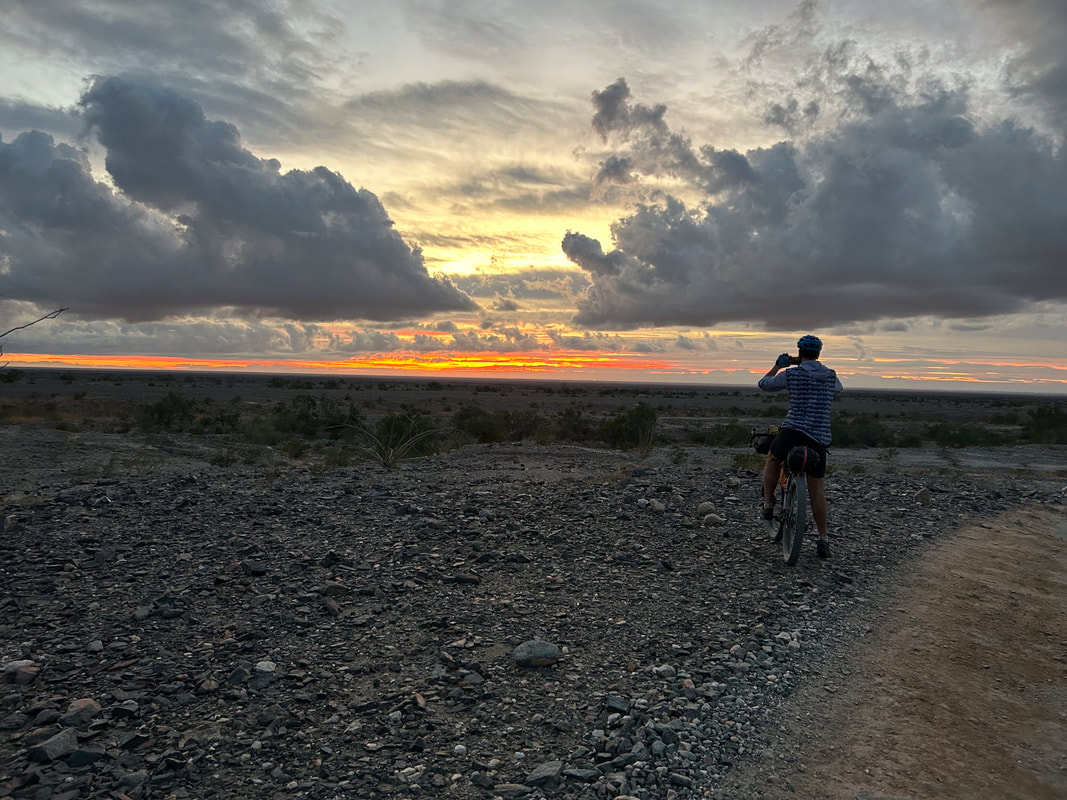
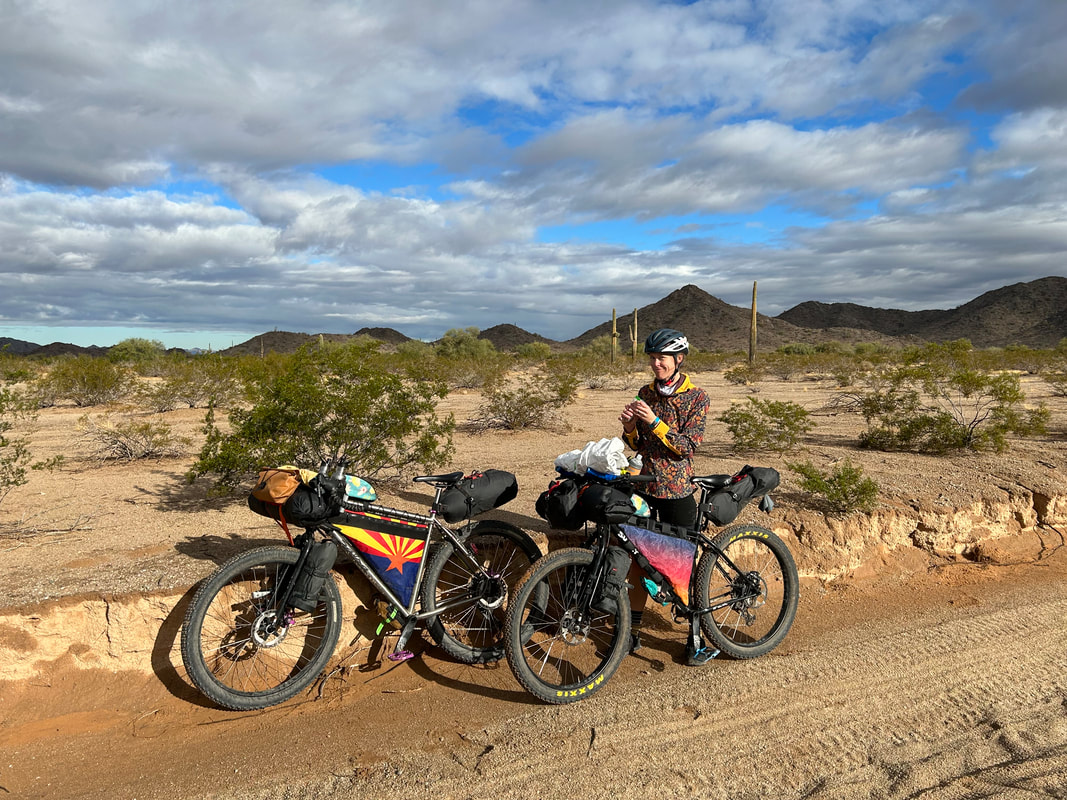
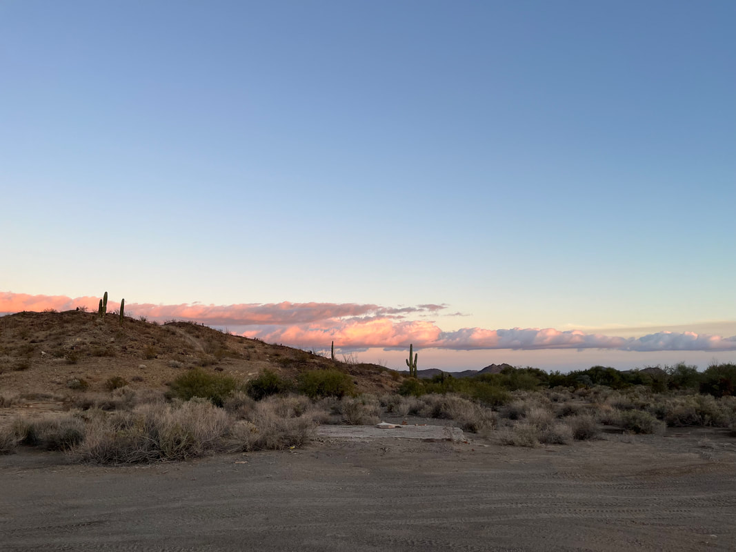
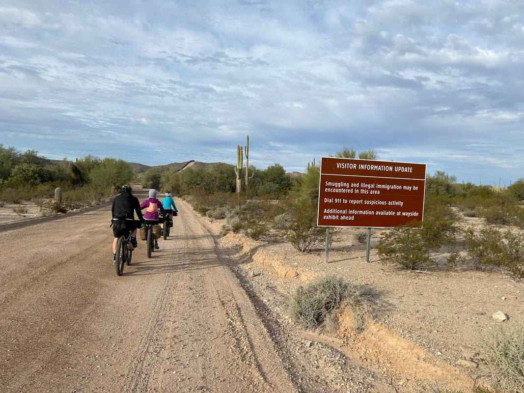
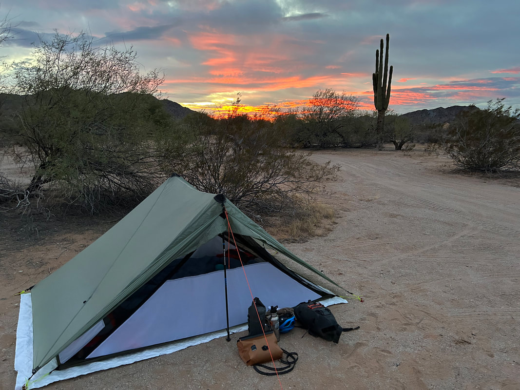
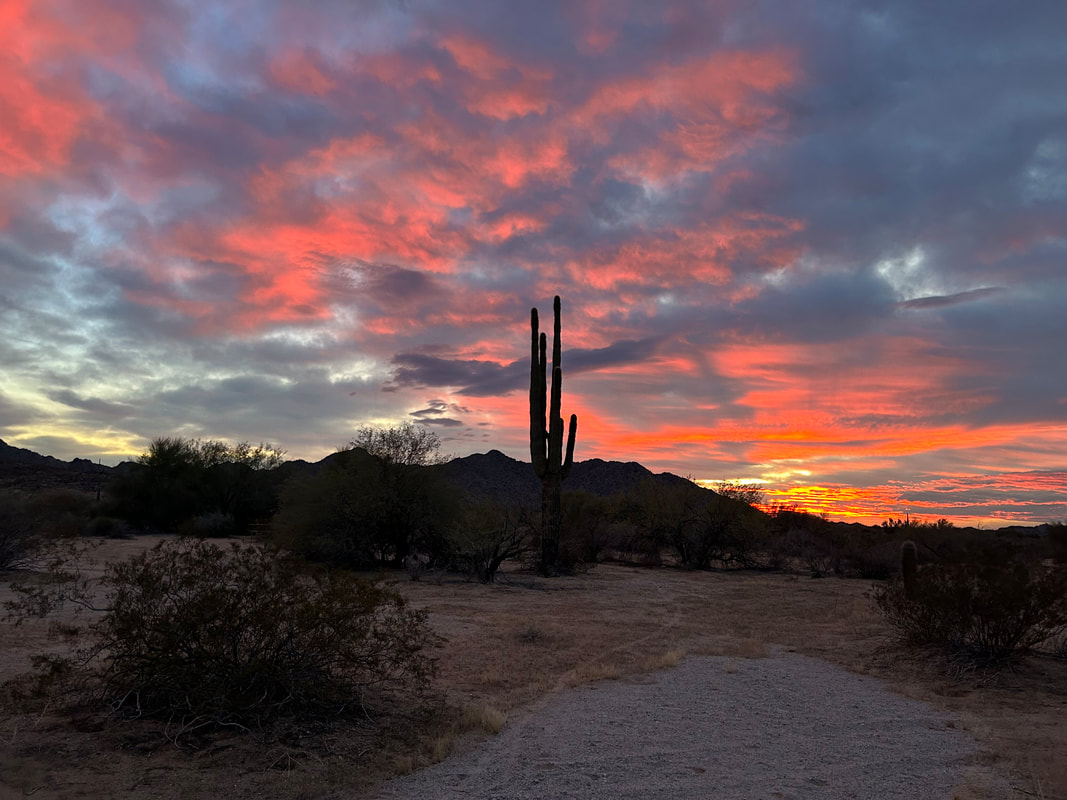
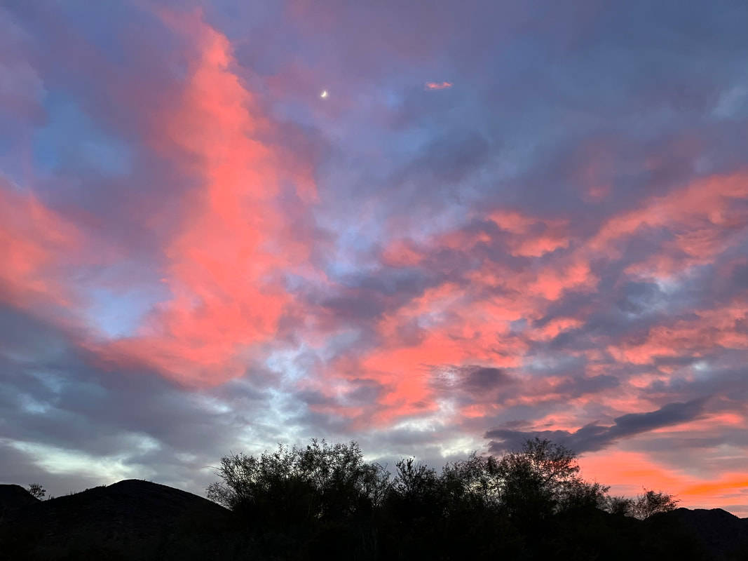
When we spoke to the rangers at Cabeza Prieta NWR prior to the trip, they highly suggested we stay both at Tule Well and Papago Well campgrounds on our rides. We expected high/frequent migrant crossings in the night, and the rangers confirmed it. They told us not to travel after dark and to stay in the campgrounds. As the campgrounds were known to migrants and coyotes, our presence there would be better suited to expectation as opposed to dispersed-camping elsewhere along the route and being stumbled upon in the night. Cabeza Prieta NWR said they could not confirm nor deny water availability at either of these wells. Thus, we started the day's riding with 8+ liters each just in case there was no water to be found at the well. However, that concern was allayed because both wells ended up being brimming with crystal clear water and easy to locate/use spigots. It was super obvious to us all that both Papago Well and Tule Well were very prominent and singular water sources with miles of dry land on either side. Any person needing water would zero in on these locations. Papago Well was located about 200 years from the camping area. The campground was a spread of flat-packed-sand with a small tent signage. There were picnic tables per each "site." A truck was parked at the end of the area so we headed to the opposite side where two tables were close to each other. A large dry wash bisected the road and land nearby. It was lined with thick mesquite. We took a look and found that it was filled with foot tracks and abandoned clothing - a definite corridor for people moving across the land. We setup camp and prepared for a wet morning the next day. A large weather system would move an atmospheric river of precipitation across the southwest by tomorrow morning leading to snow dumped in the high country and rain in the low deserts. Clouds quickened at dusk. A sky-blue-pink sunset boiled rosy in the growing clouds and then burst after hesitation in a smear across the sky spectacularly. We ate dinner and took tons of photos of the gathering night. As day waned into the folds of dark, we unbundled our gear from our bikes and packed them under the vestibules of our tents to avoid any possible loss of gear from storm or person in the night. A border patrol drone began buzzing the surrounding Papago Mountain. I saw a light on a peak flash on and then off several times. The neighboring camper in the truck came over to talk to us before he went to bed. We retired to our own tents as humid air kept the nighttime temps well-moderated. An hour or two later in the early winter dark, just on the edge of sleep, I suddenly heard a very loud whistle pierce the night. I shot bolt-awake with adrenaline. I exited the shelter quickly, urinated, and listened hard to the night. Nothing. I climbed back inside the tent and laid down, unsure as to whether I had imagined the sound on the verge of sleep. Then, not 5 minutes after turning off my light, a series of whistle and responses started from the wash to our right followed by a two-blast whistle from the middle of the campground as people communicated with each other. I lay very awake. Dan would later report hearing people walking by our tents in the night. I struggled to sleep well after that. Around 2 am, the weather front moved in strong with a blast of winds that zoomed across the campground. As our shelter flapped in the wind gusts, I exited to tighten all tie-outs and could see a mélange of roll clouds bellowing in the night sky. Tent more secured, I crawled back inside and slept until dawn. 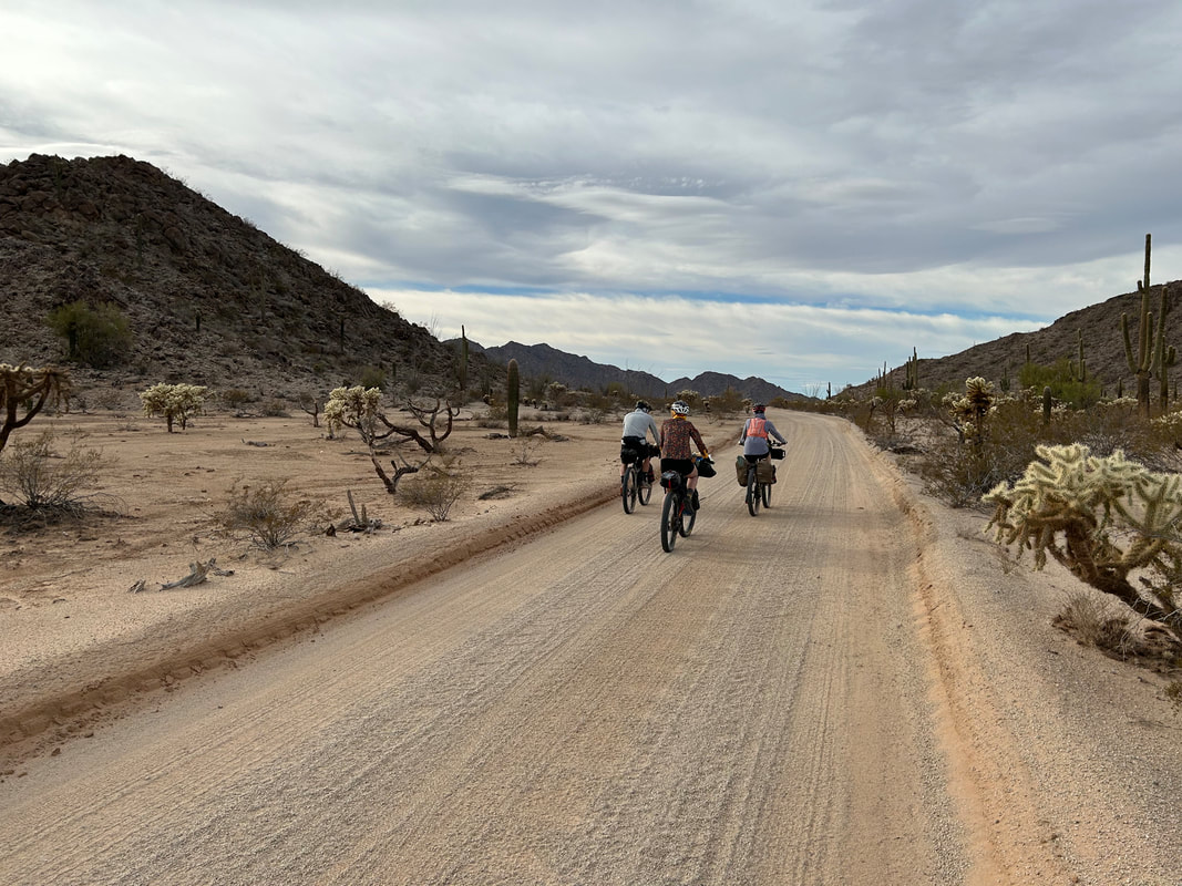
|