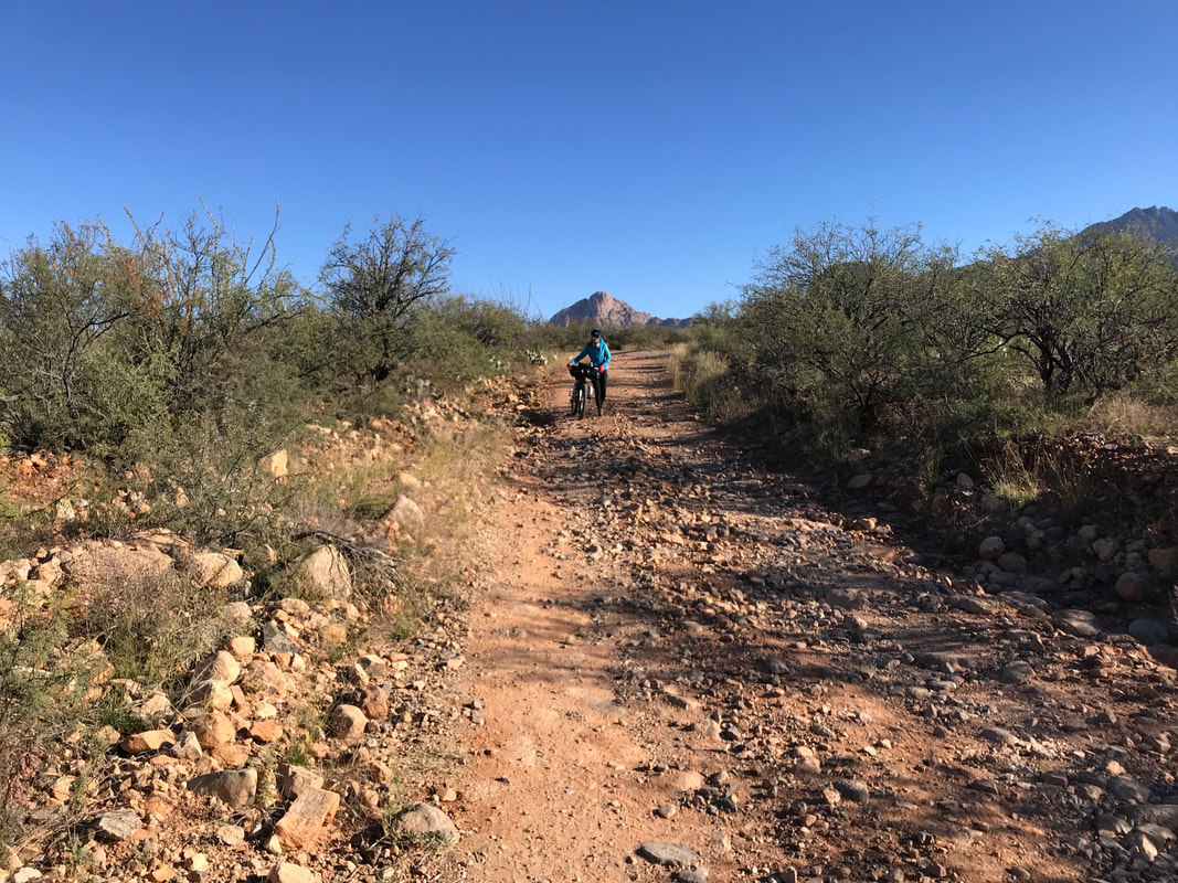
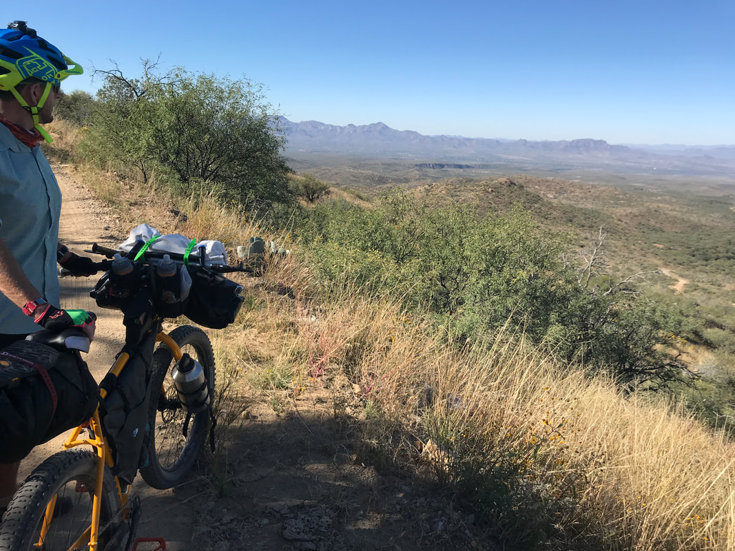
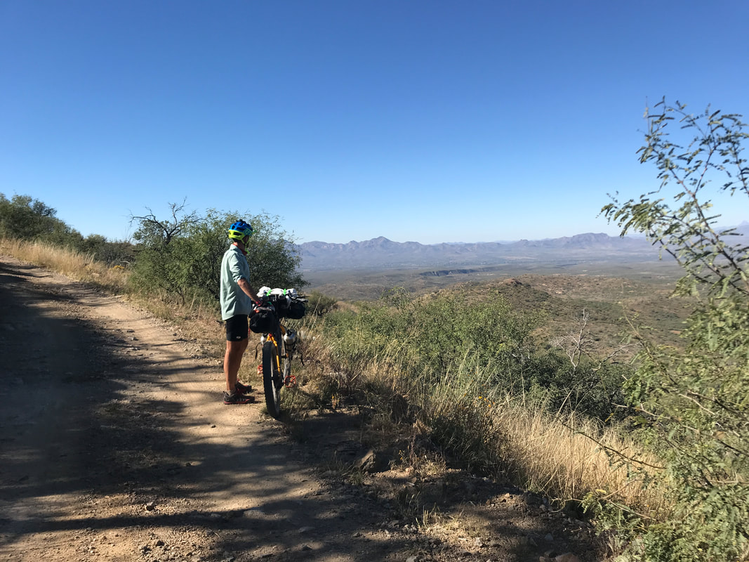
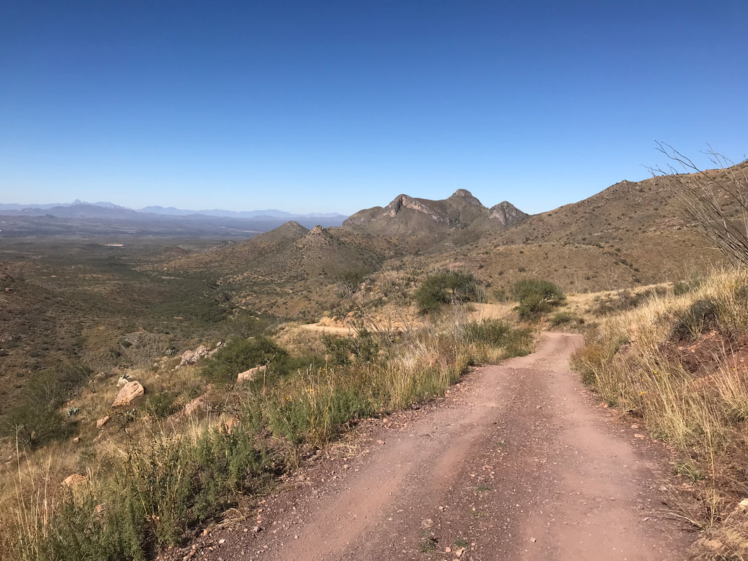
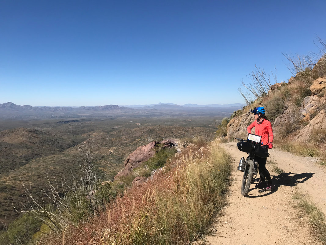
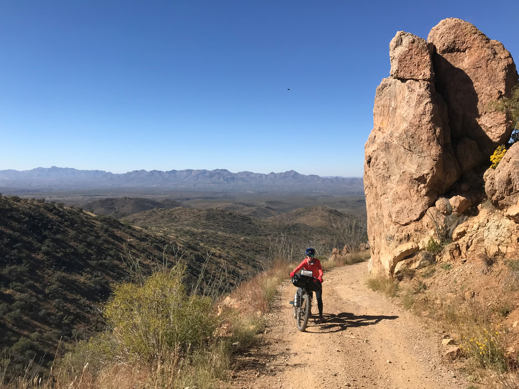
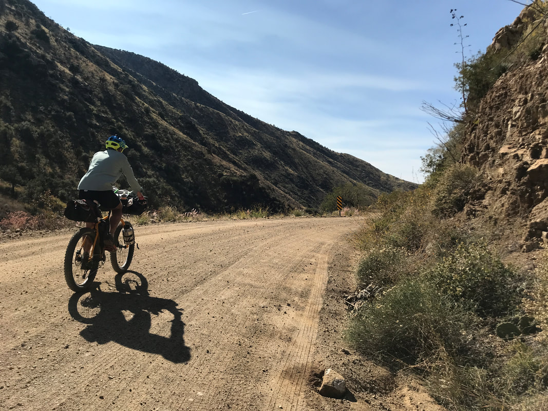
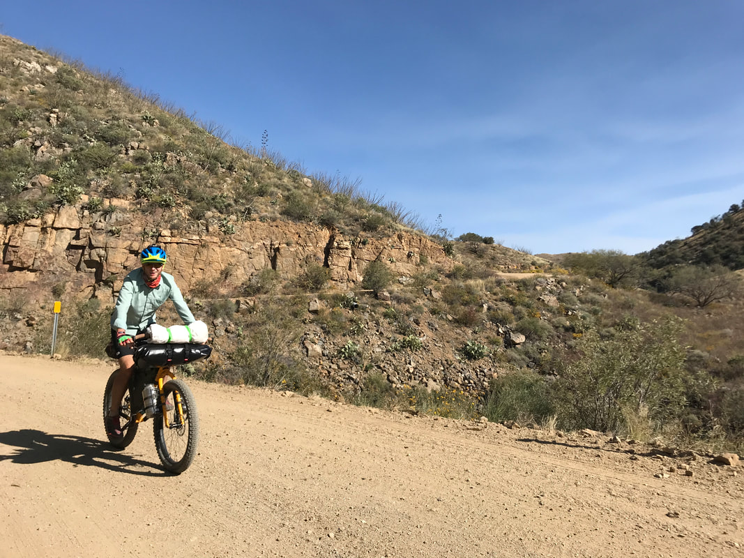
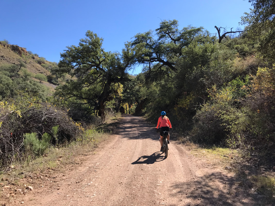
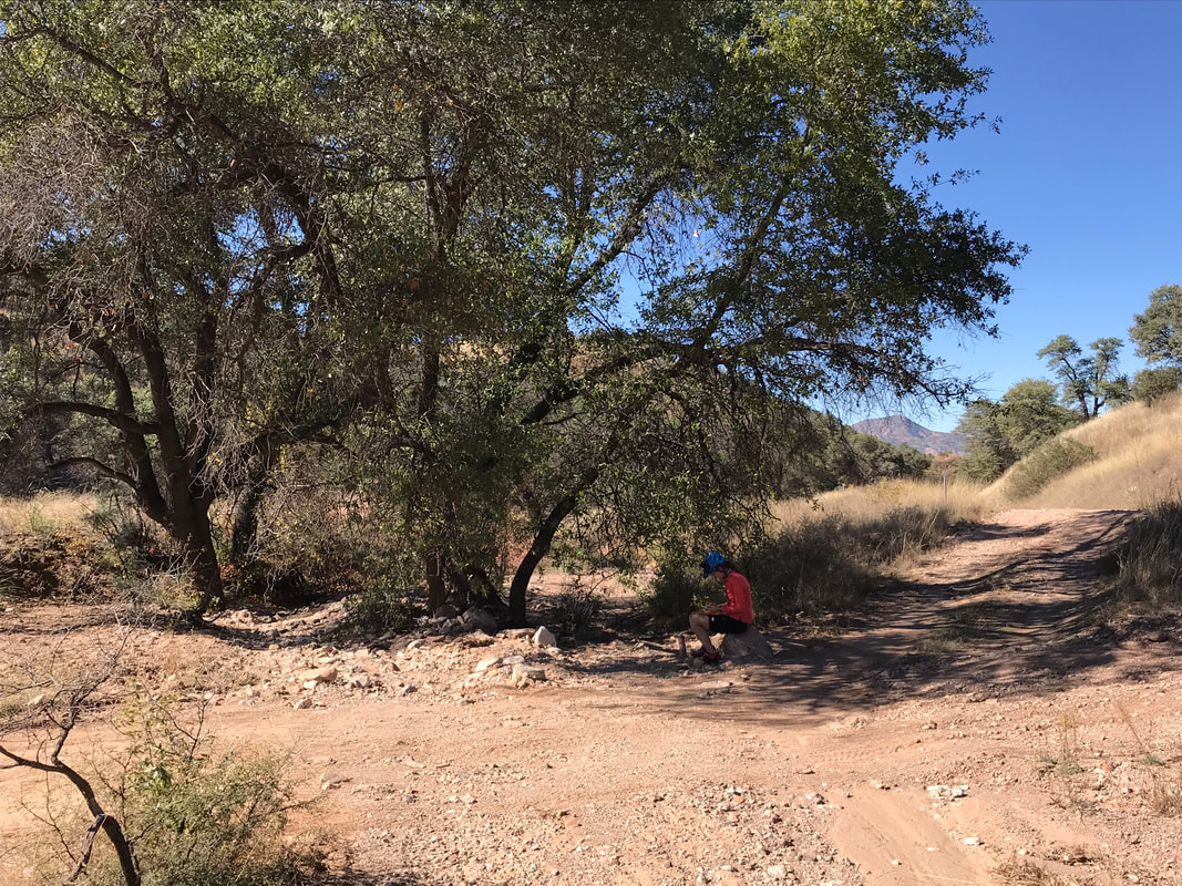
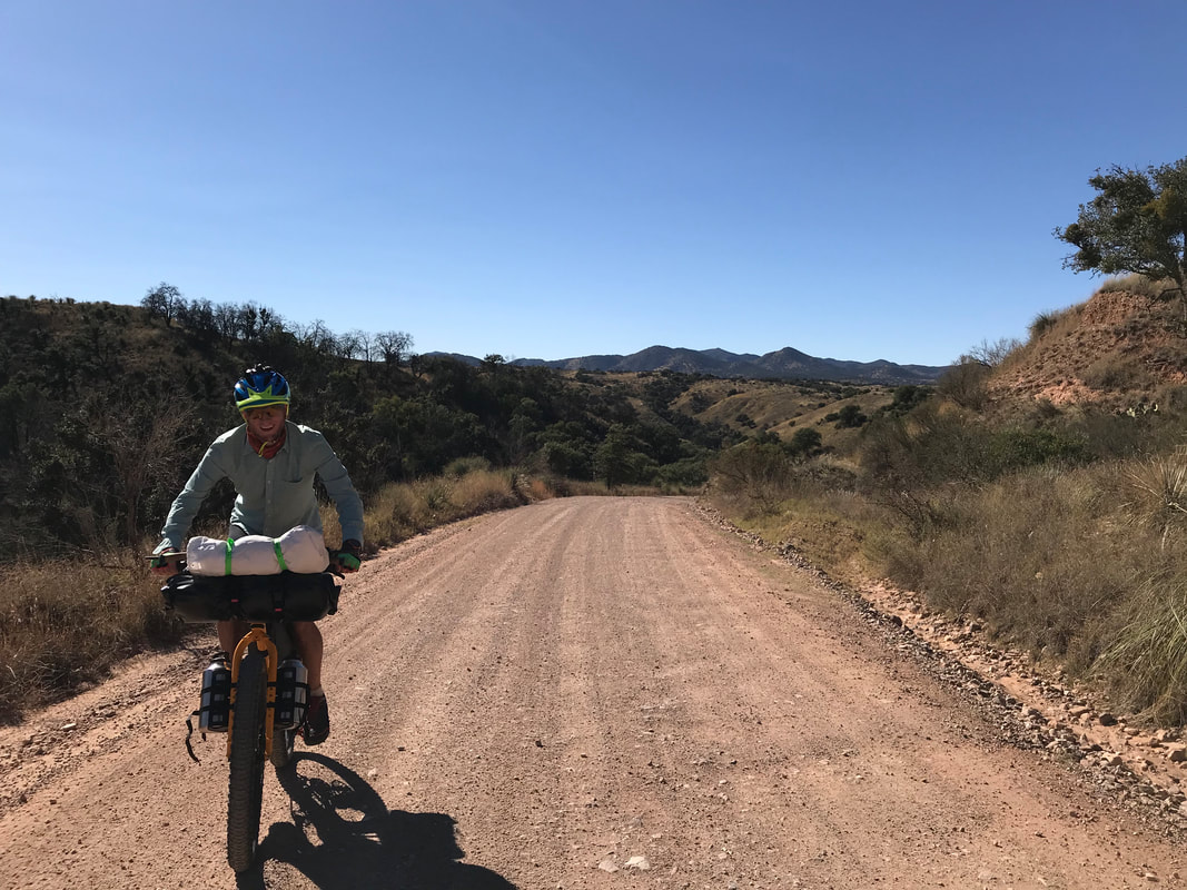
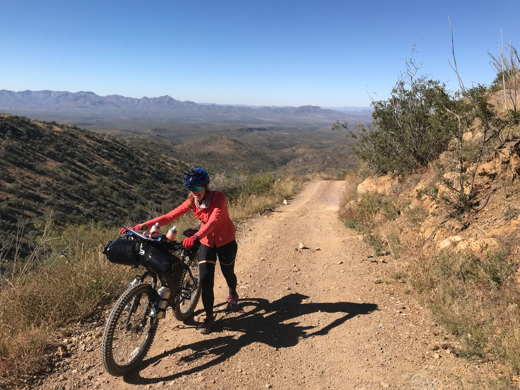
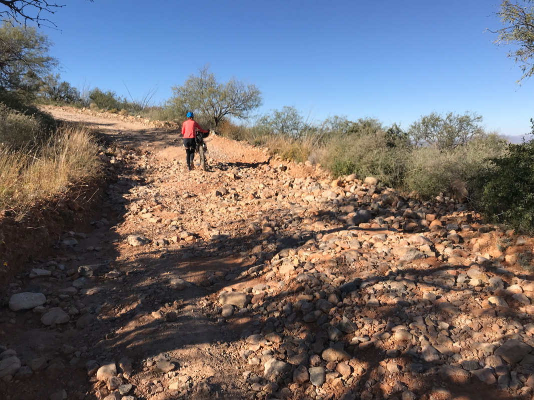
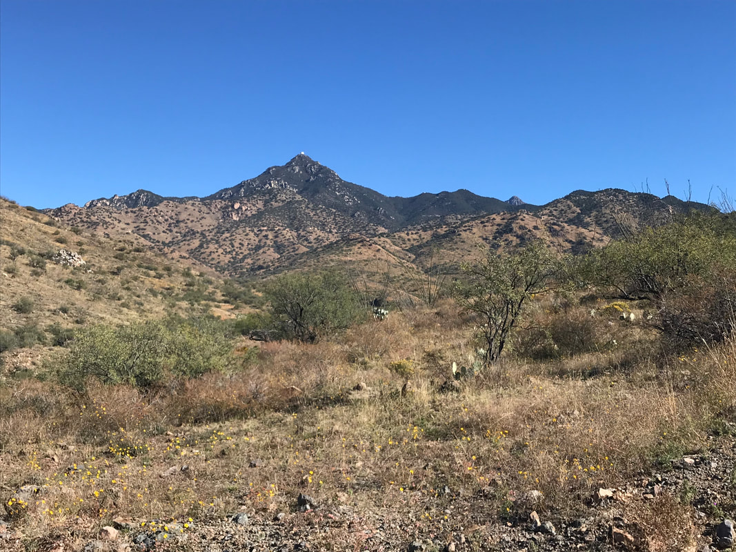
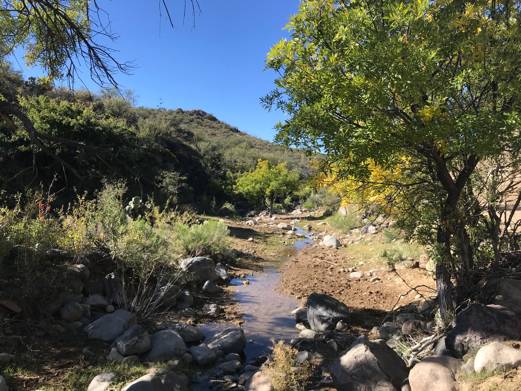
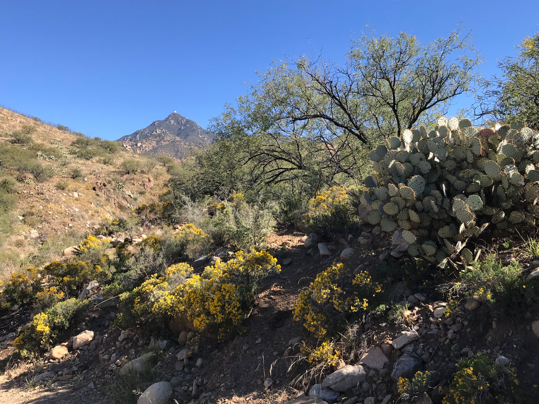
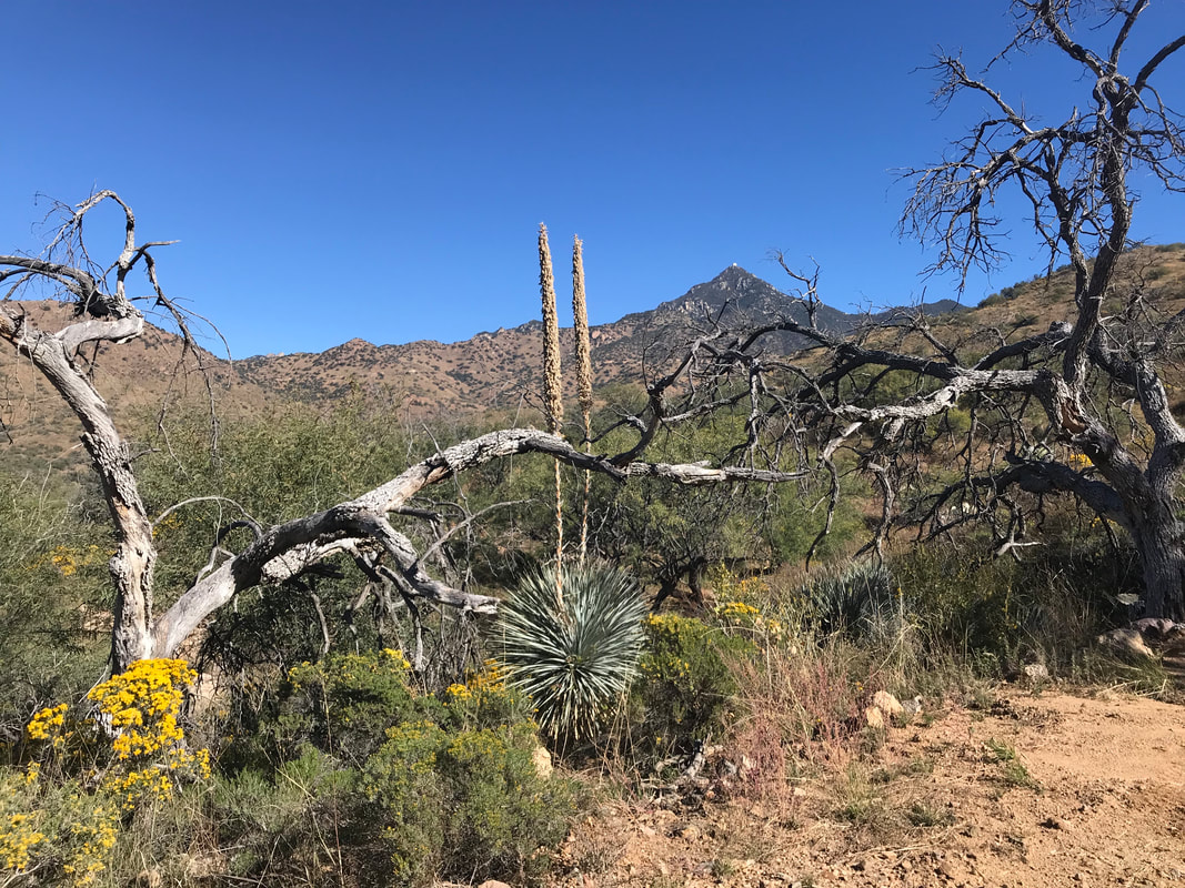
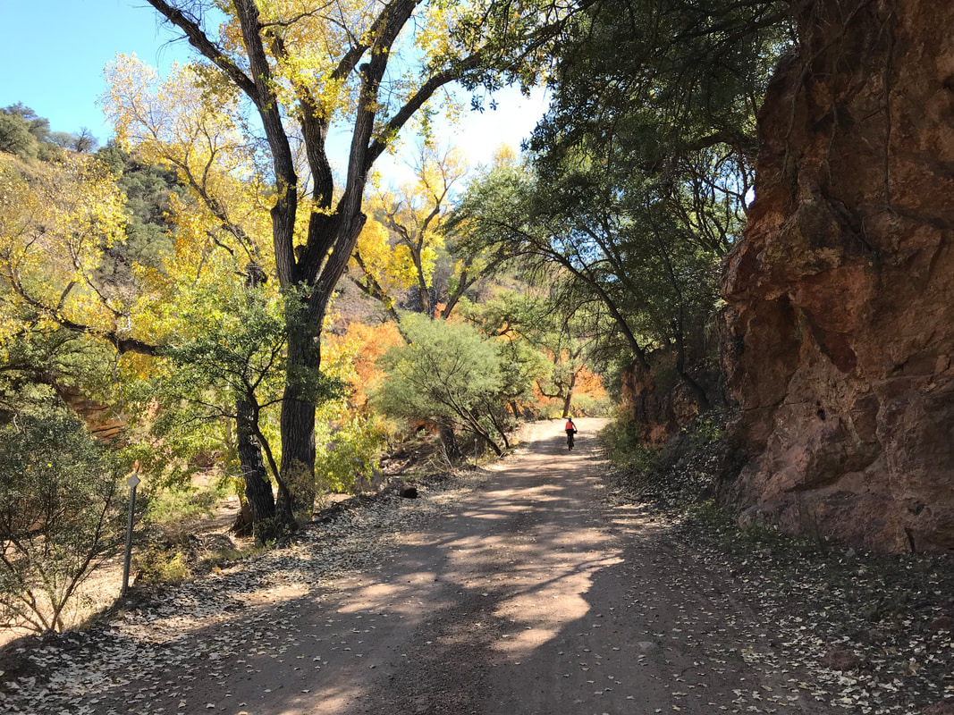
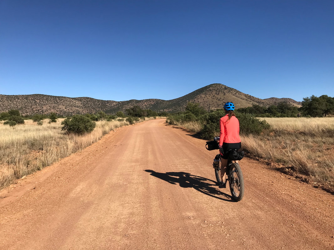
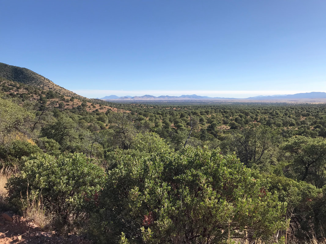
 At first light, I was like, "Let’s get the fuck out of here." Janna slept very well. Me not so much after having a gun and potential threat waved at us. We packed up and starting climbing up the paved road. Immediately, the beauty of the day brought me back to the enjoyment of the moment. We turned off onto a dirt road and the route just decomposed into rock babyheads and rubble. This would prove to a repeat terrain theme of the day. We wound in and out of foothills filled with yuccas and mesquite for several hours until we went up towards the Santa Ritas more directly and passed by an abandoned mine. The route crossed a beautiful stream with a full side view of Mount Wrightson and the observatory. At this point, we began hike-a-biking more steadily. For the next two hours we seemed to alternate between grandma gear pedaling and pushing the bike up steep climbs. I passed two deer hunters scoping the valley below. Eventually, we hit a beautiful saddle. Here, I let loose and flew down into the valleys below. There were more hunters out in camps, everyone surprised to see us out here on bikes and not ATVs (literally, one guy on an ATV passed us and said we were “crazy”). Up and down repeat valleys and passes along with repeat hike-a-bikes until we came to the top of the last big climb. It provided amazing views of Madera Canyon and a whole side-view of the Santa Ritas. 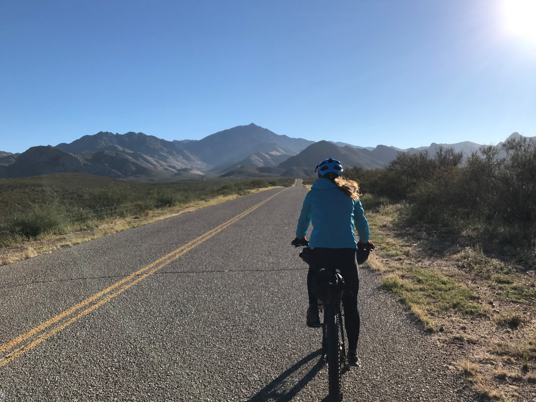 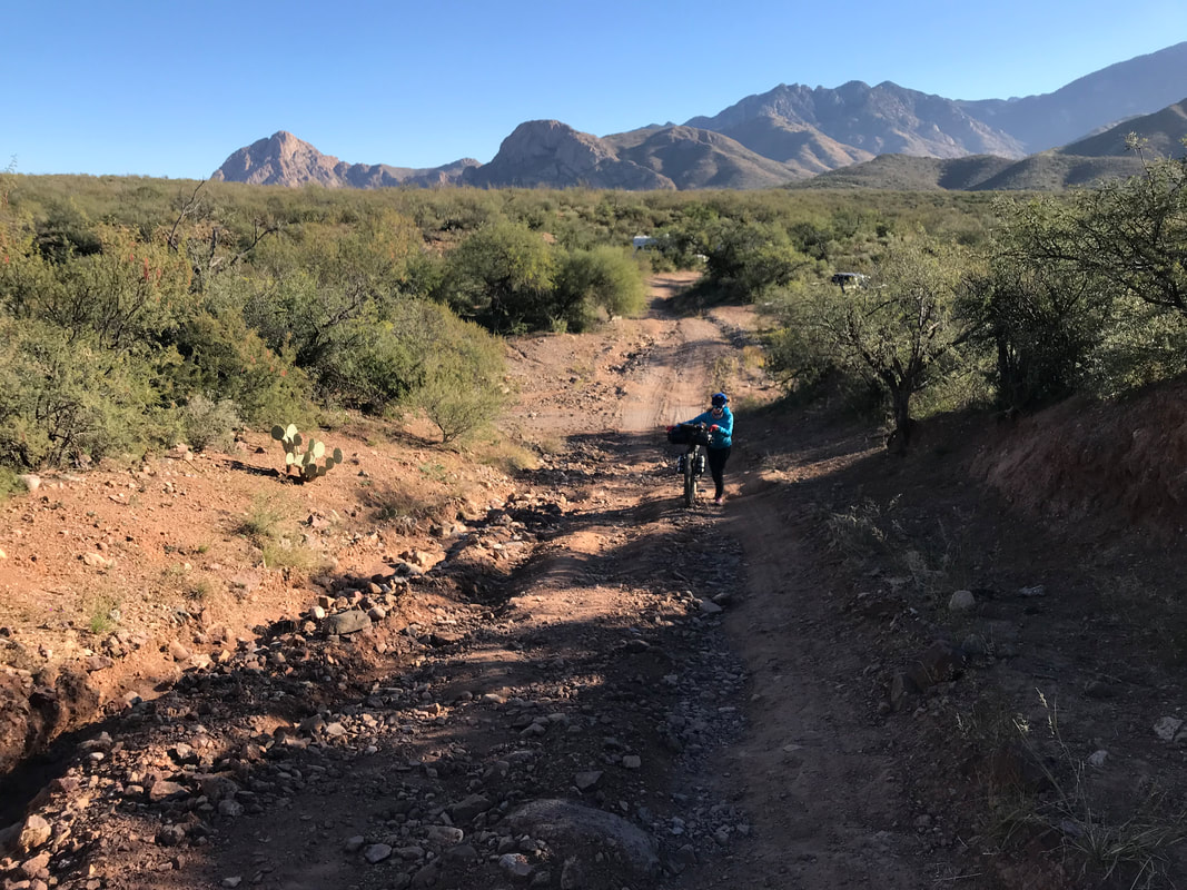 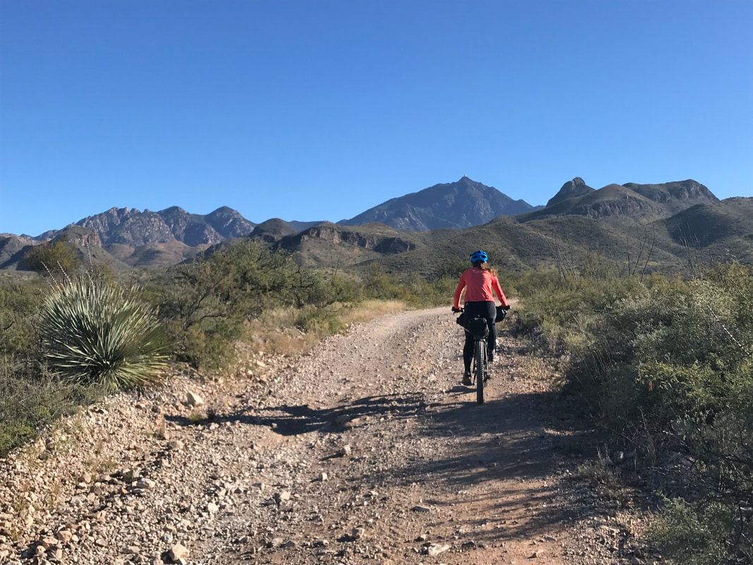
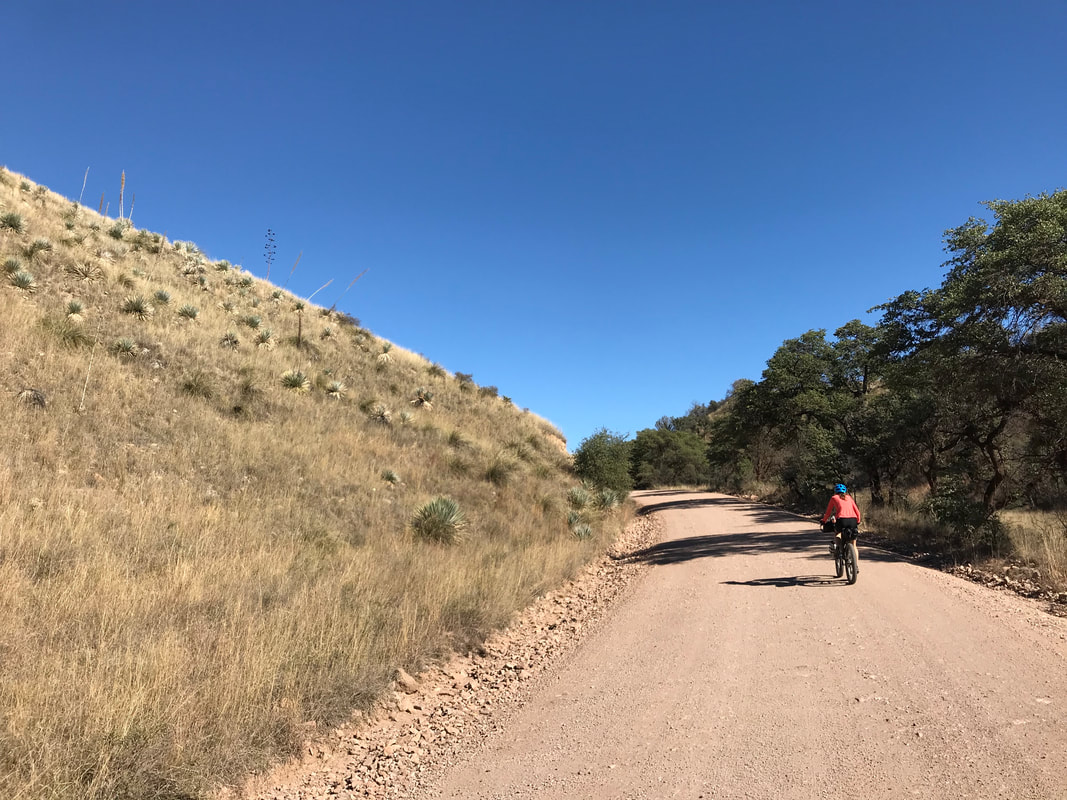
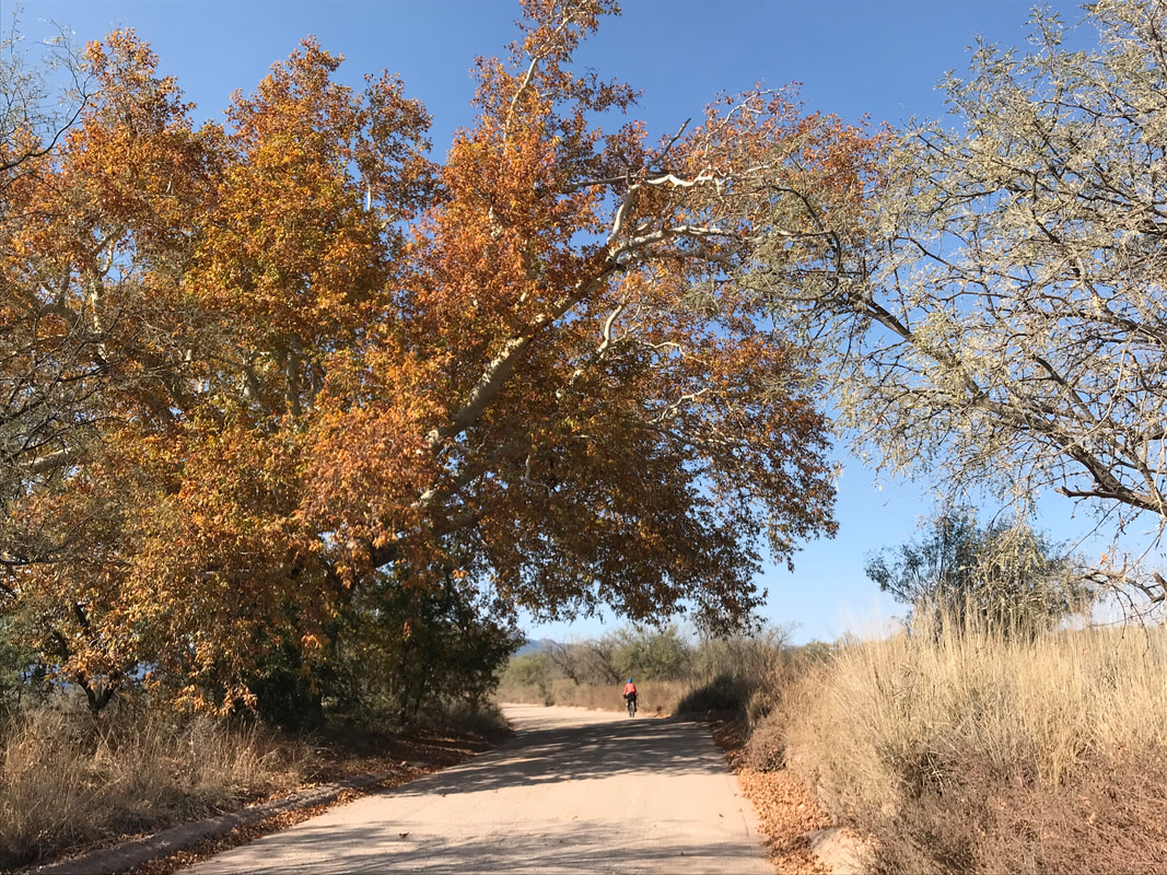
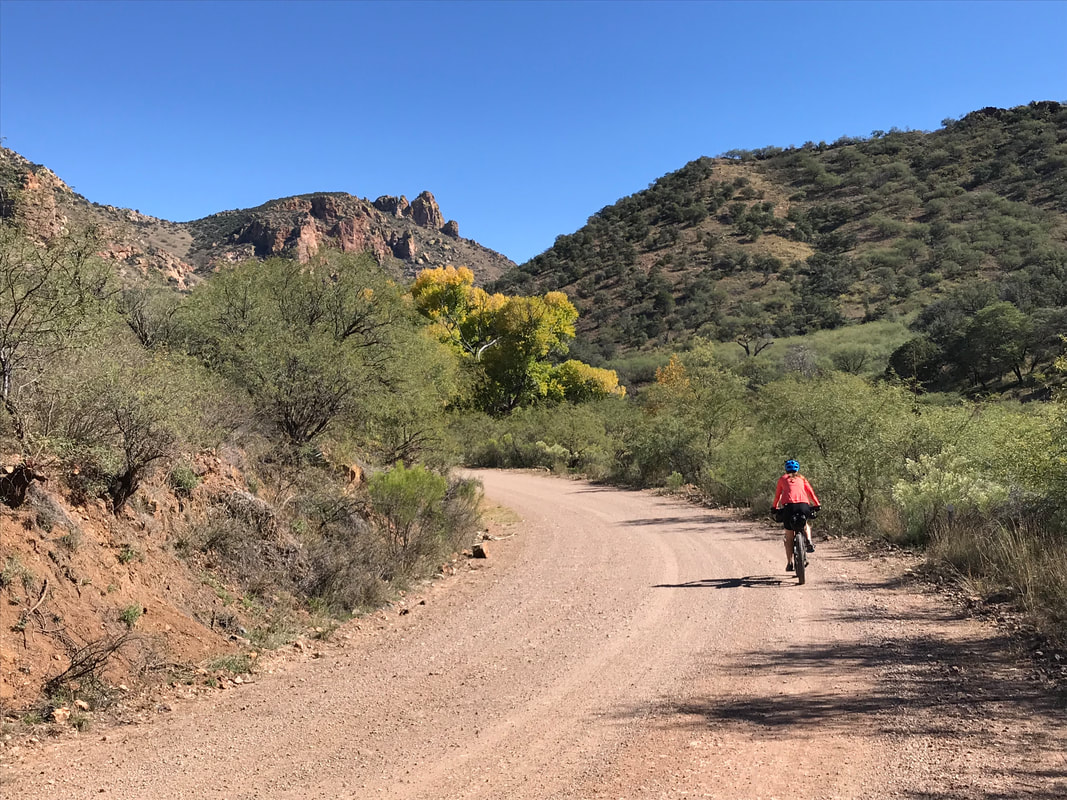
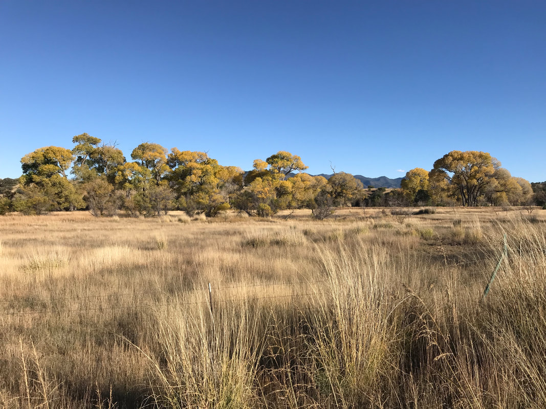
From here, we swept down miles and miles of rocky mountain side road while passing by loads of cattle. Eventually, we crossed a cattle-guard and the road really improved. Ranches appeared along the way as did the presence of Border Patrol vehicles. The dirt road entered a ranch property and traced along the bottom of a gorgeous flowing wash before summiting one last pass with a view of the Patagonia Mountains. A UPS truck came rumbling up the dirt road - it blew my mind that they were willing to drive out here. With that, we plunged down and eventually were riding under gorgeous soaring deciduous autumn-colored trees from The Nature Conservancy’s Patagonia-Sonoita Creek Preserve. It felt like true autumn now in the desert (by November), and it put me in the mood for Thanksgiving and the holiday season ahead. Janna and I turned into downtown Patagonia and made up our way back up Harshaw Road to our car at the AZT Trailhead. We were utterly exhausted by this hardest day of the three, but I was very excited to dream ahead for future bikepacking trips. 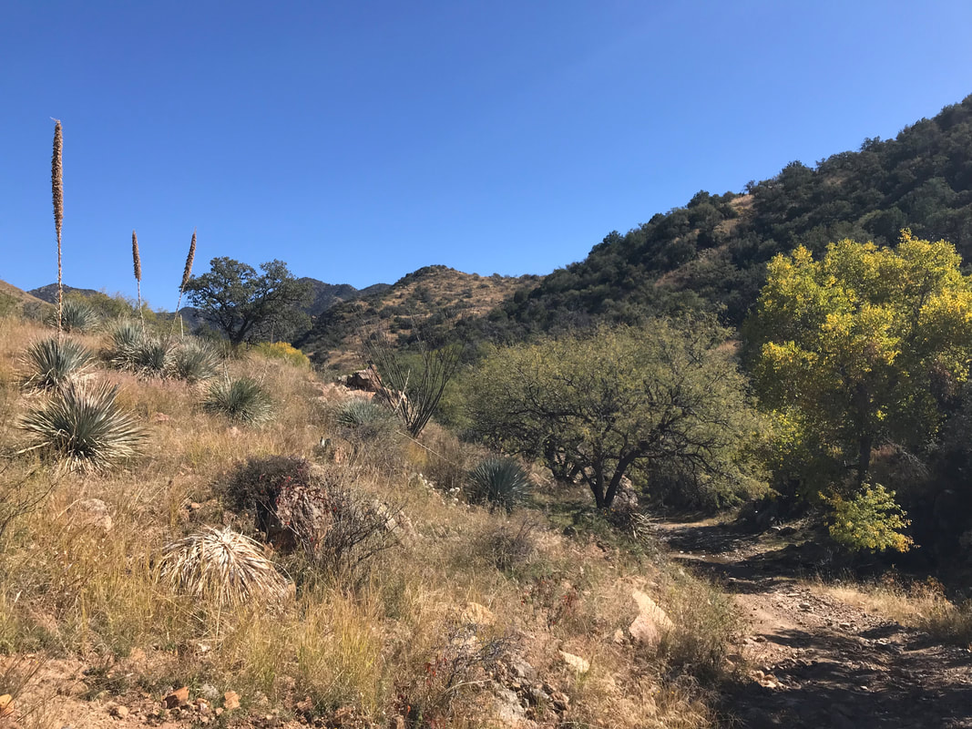  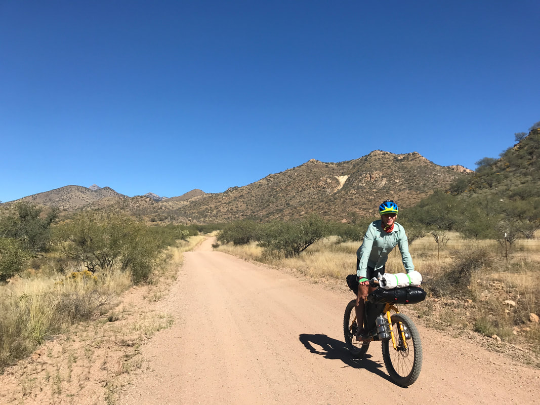 

0 Comments
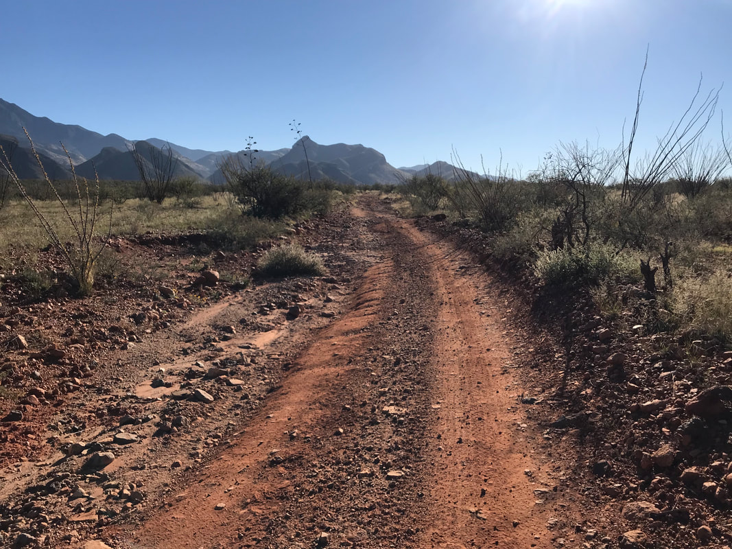
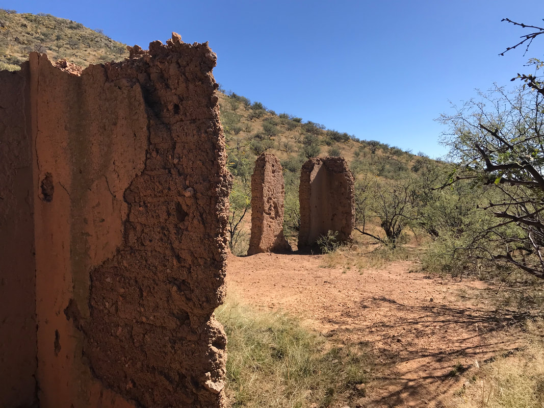
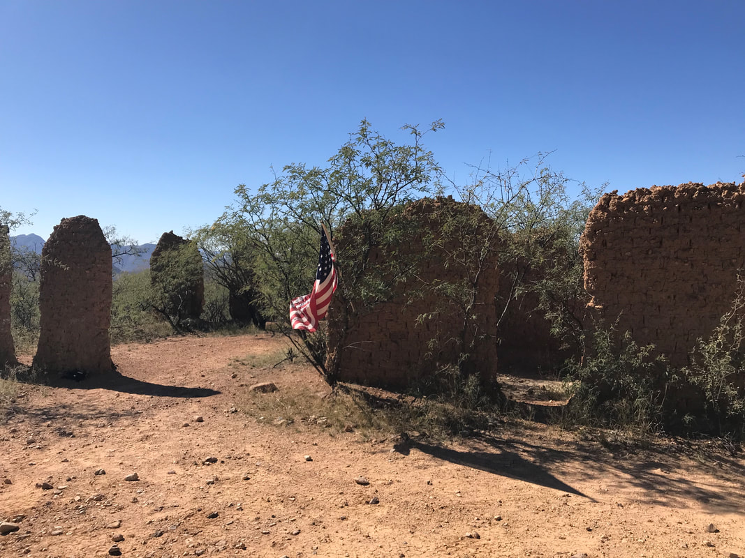
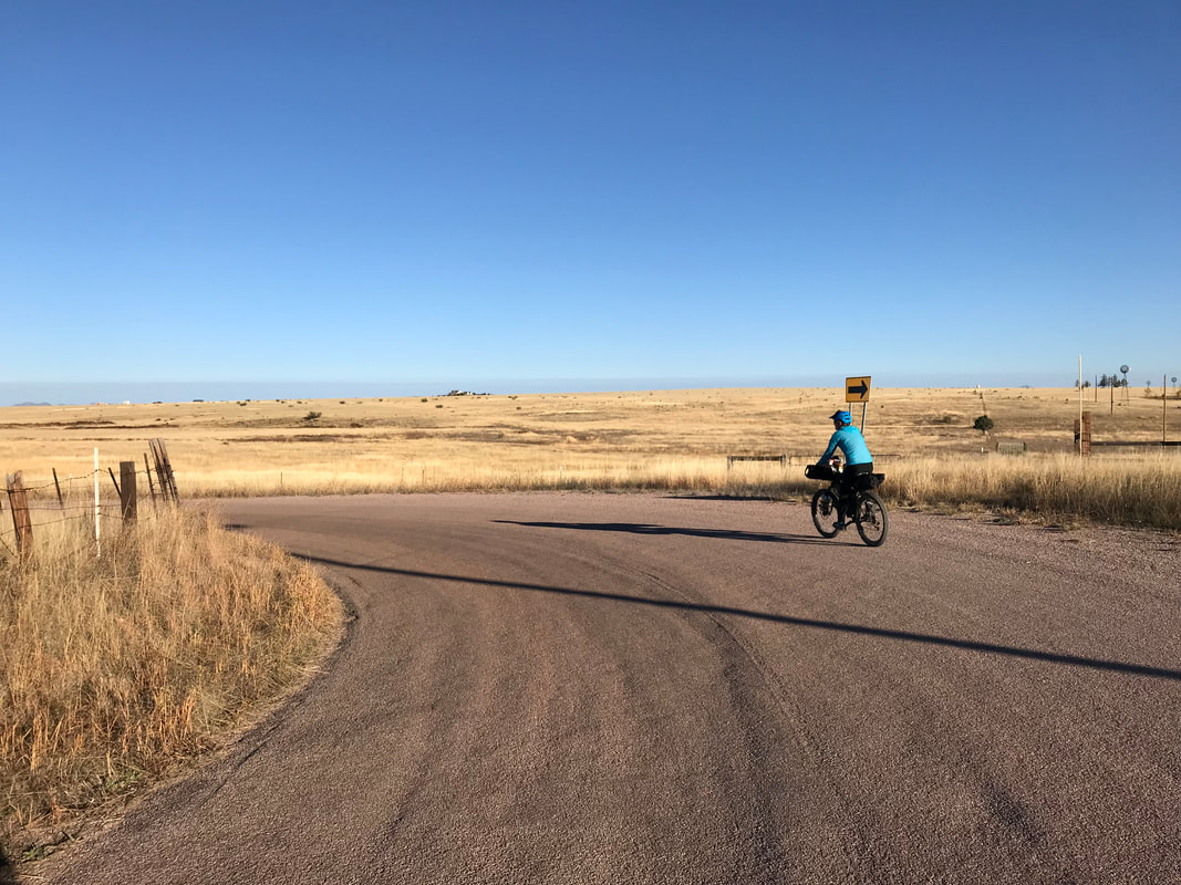
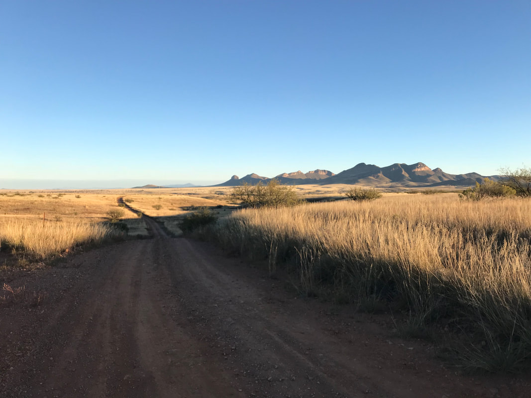
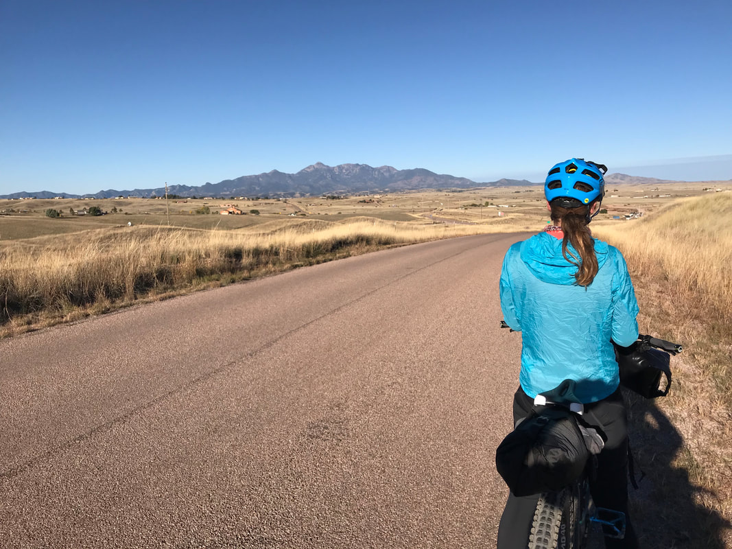
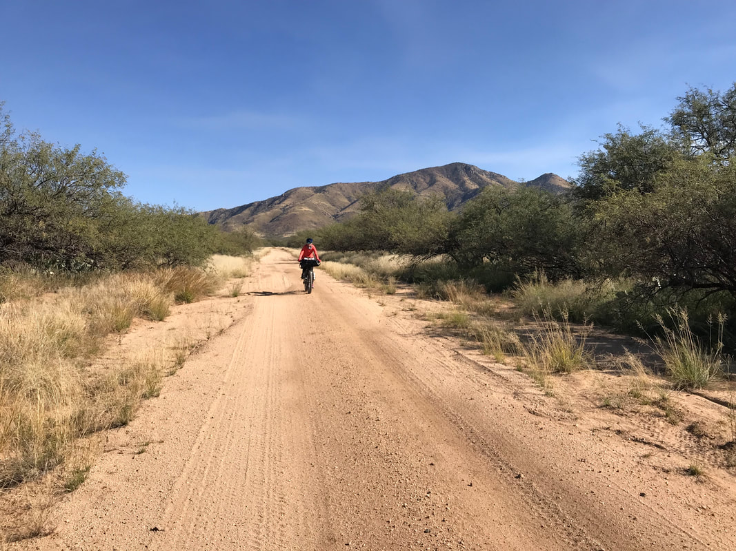
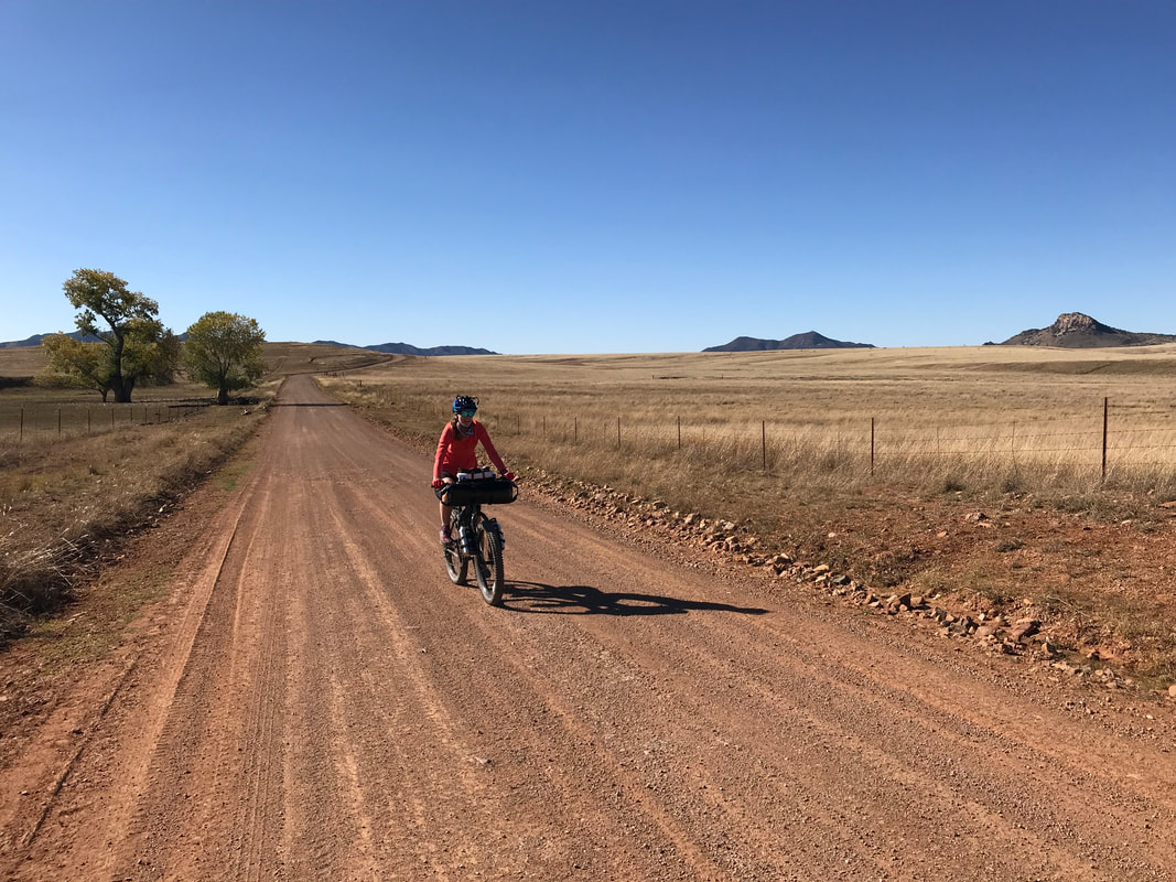
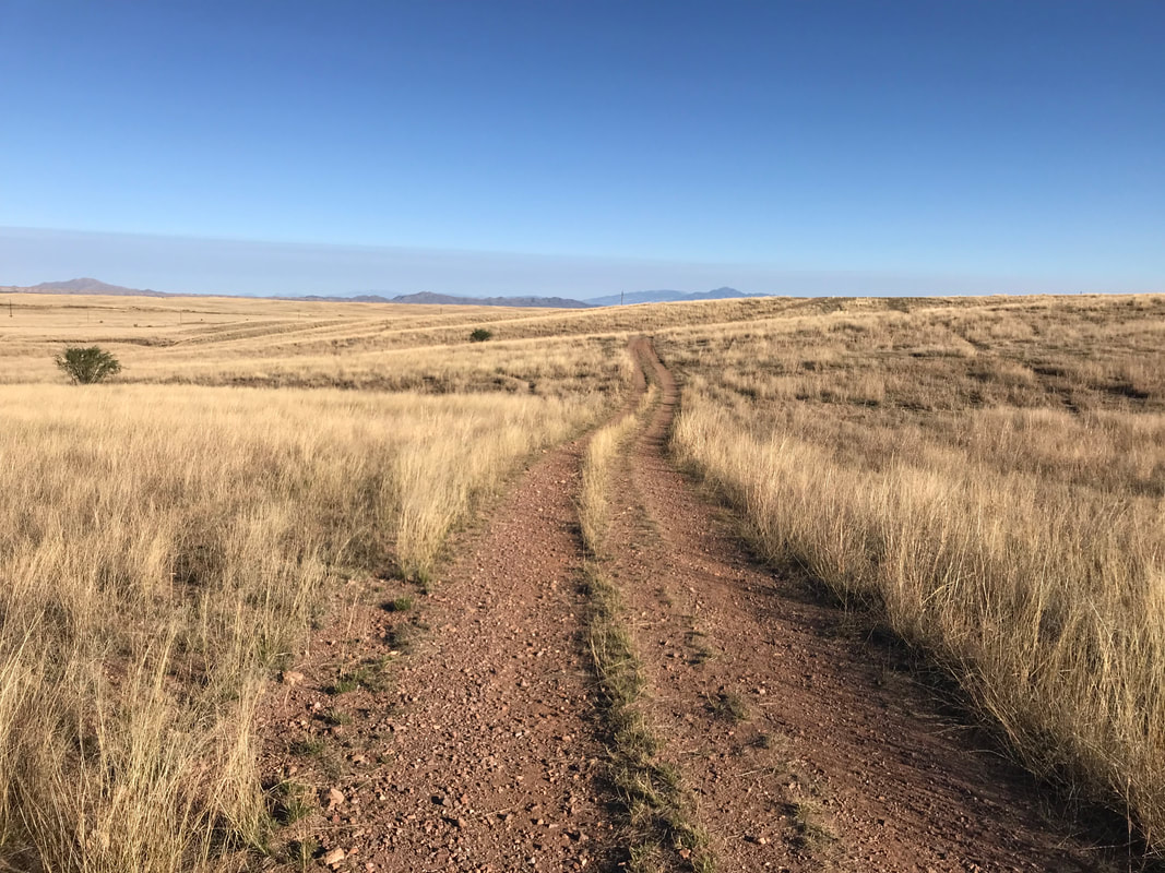
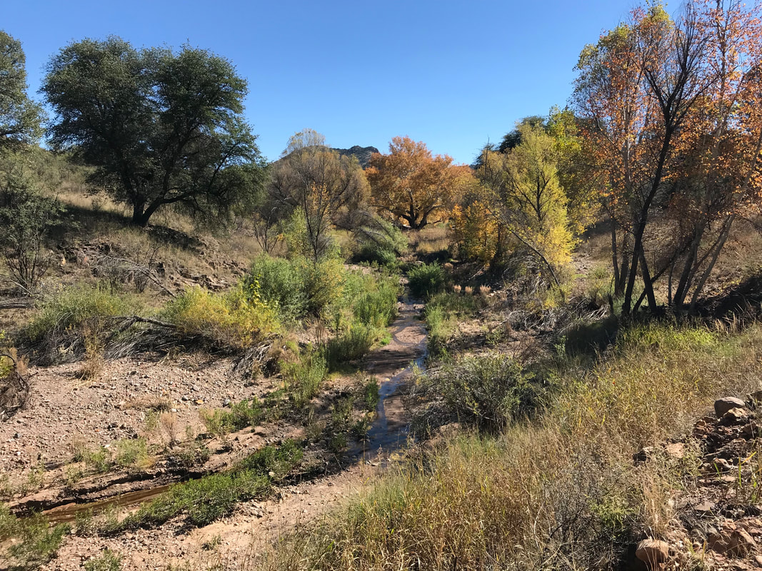
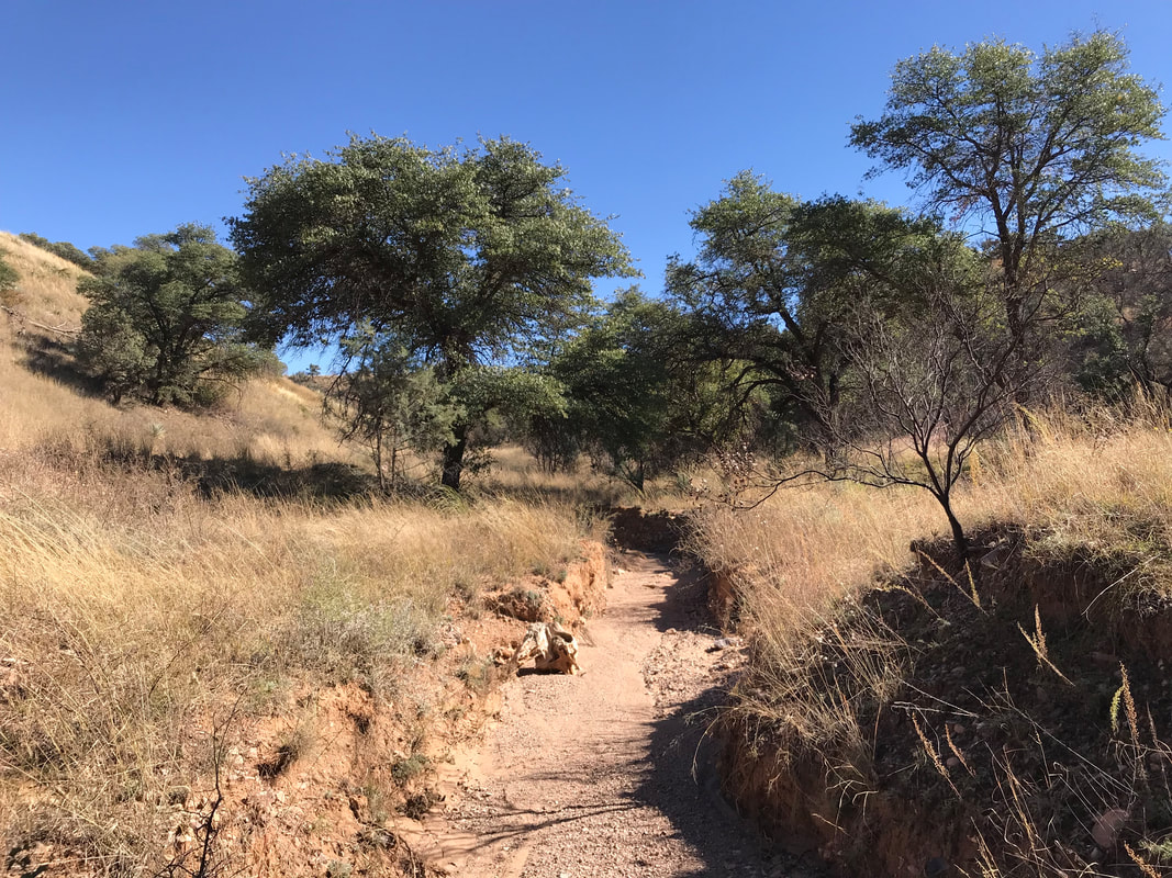
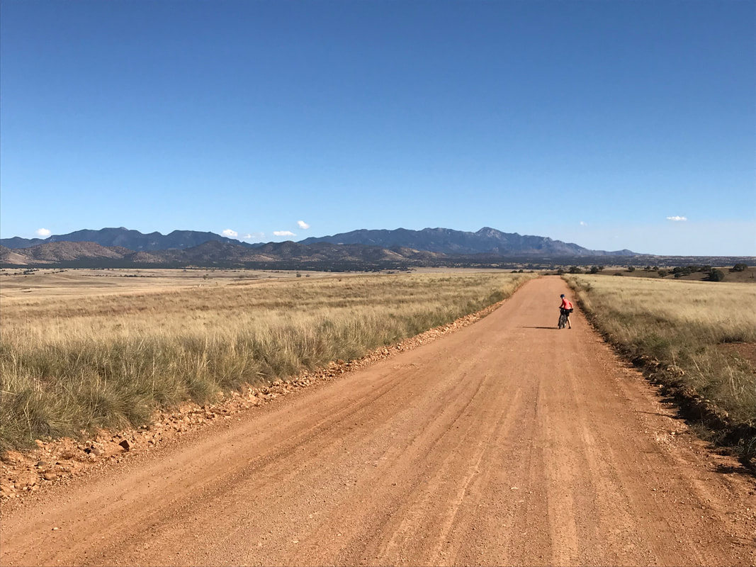
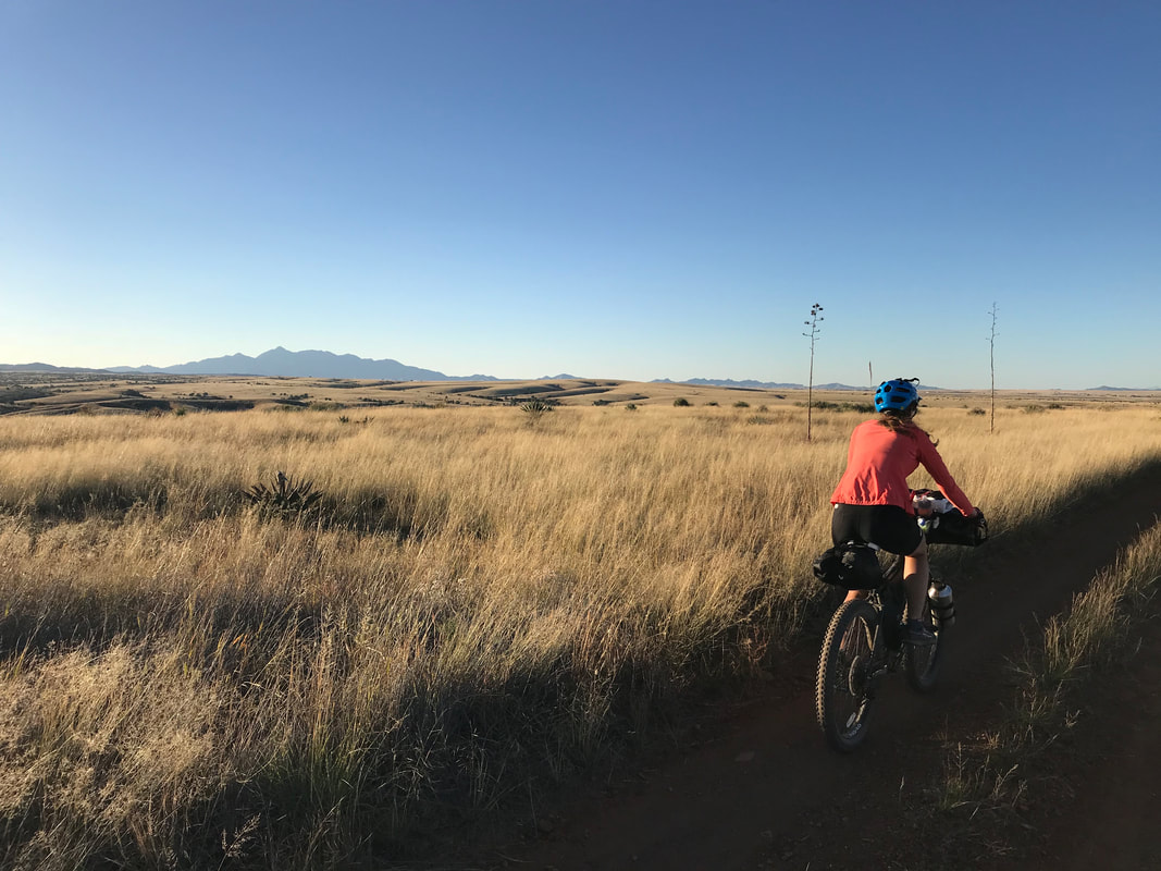
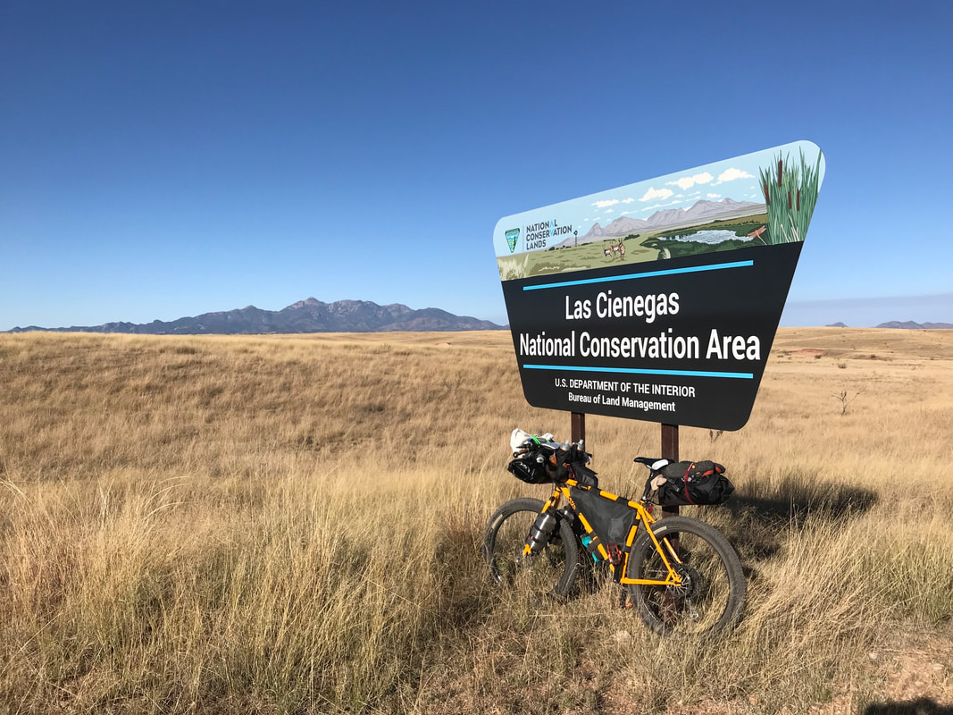 We knew today was going to be our longest day and incorrectly assumed it would also be the hardest. We woke up and were on route by 6 am, which temperatures about 31 degrees F. The first dawn lighting up the grasslands was truly magical. After several miles of pedaling, we made our way through the small town of Elgin and rode the paved road for miles. I kept checking my phone every little bit to make sure we weren’t off route after our many turn-arounds yesterday. Eventually, the route left the paved surface as a dirt cross-road led off to our right into the Las Cienegas Conservation Area. This proved to be one of those moments when my mind was blown again by the beauty and size of the grasslands in southern AZ. After miles of wandering in and out of hills of yucca and stem, we crossed the highway and started up the road to Kentucky Camp. We hadn’t been back to Kentucky Camp since we came with Darren and Dennis. Plus, notably, it’s a famous spot on the AZT so I was anxious to take another look at it. After miles of uphill climbing, we road down to the historic mining buildings now turned into rentable cabins. No one was around except for one AZT thru-hiker. We were feeling exhausted and the day’s warmth had given way to cool temperatures with headwind. We ate, refilled our water, and continued on across the flanks of the Santa Ritas. Janna and I found ourselves increasingly doing hike-a-bikes up hills until we descended down to intersect with Boxy Canyon. 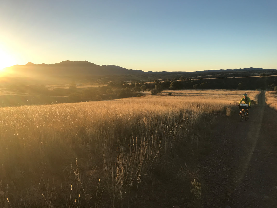 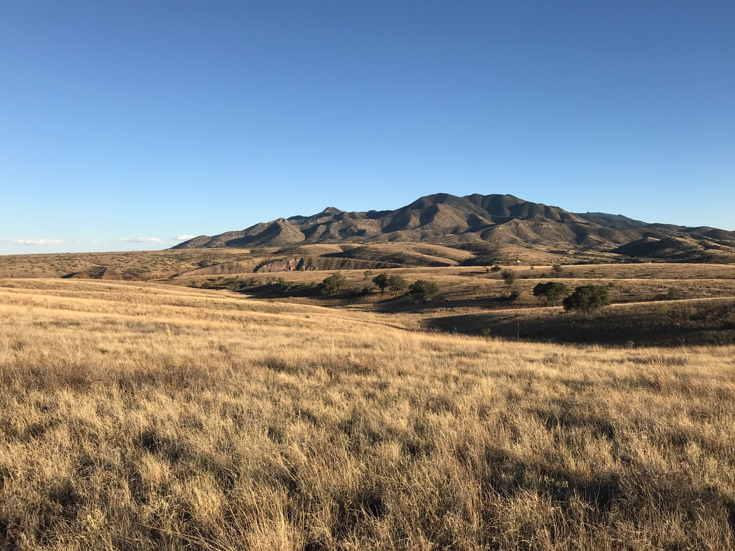 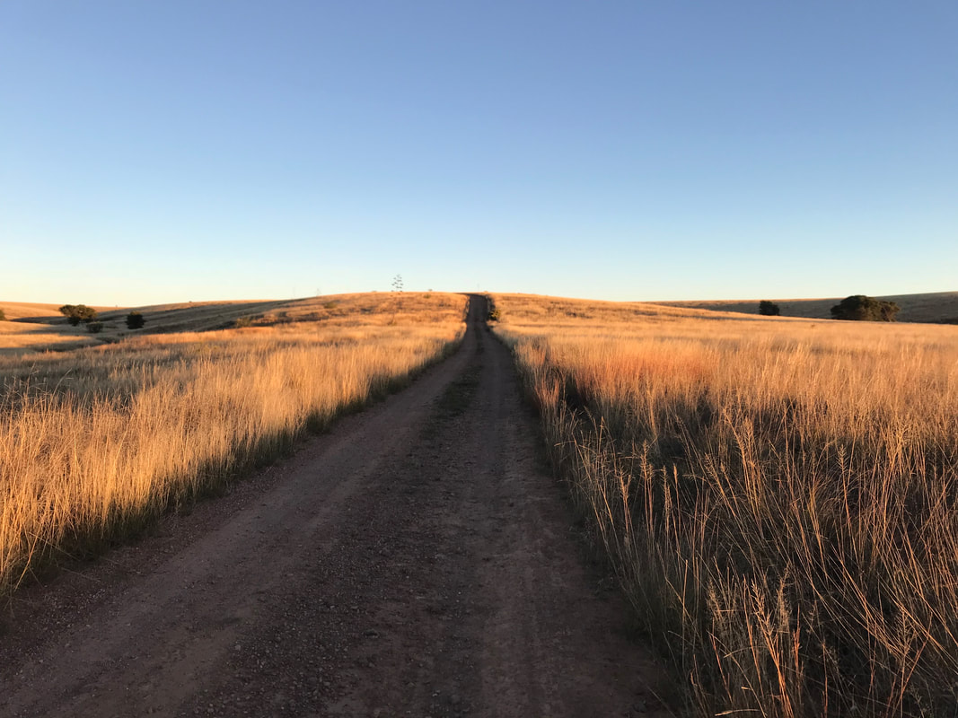 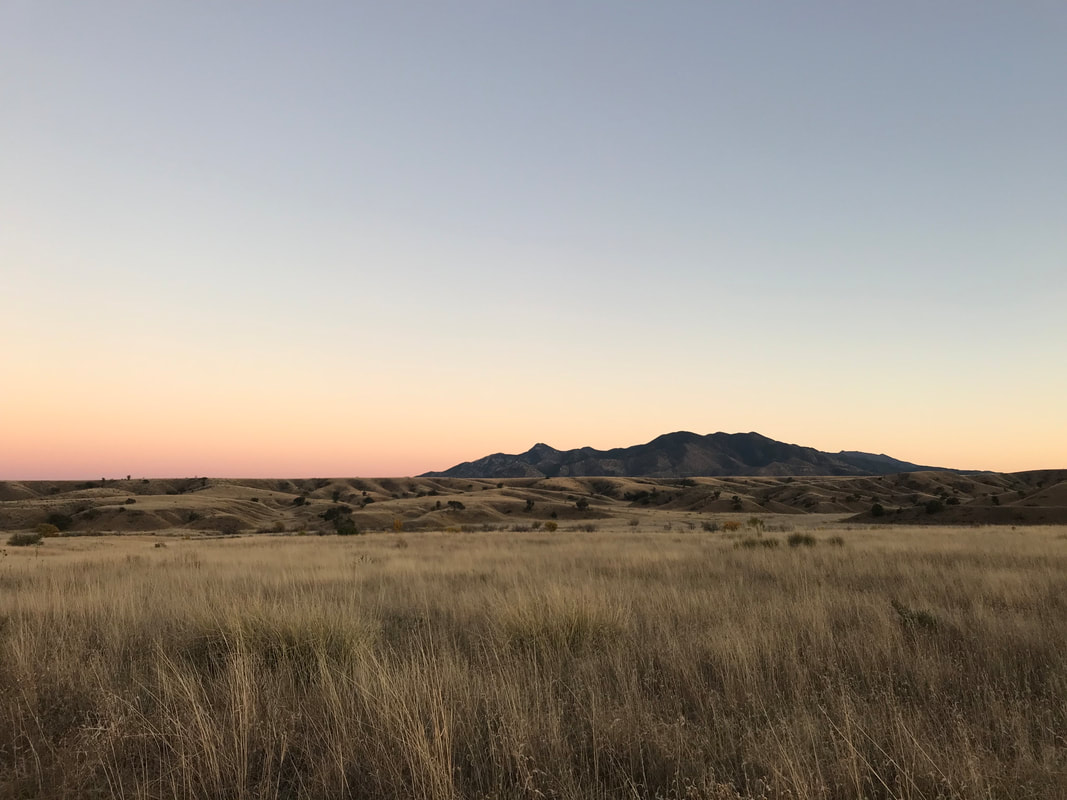 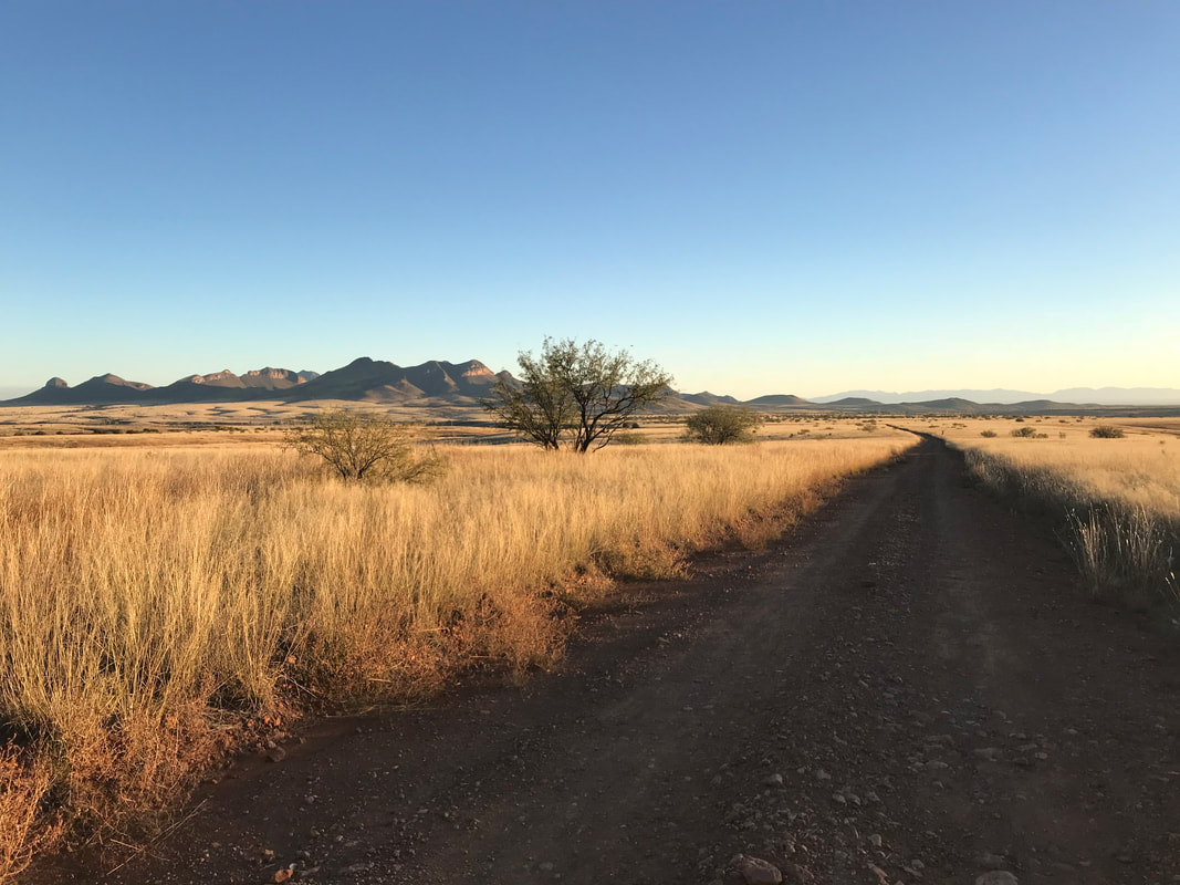 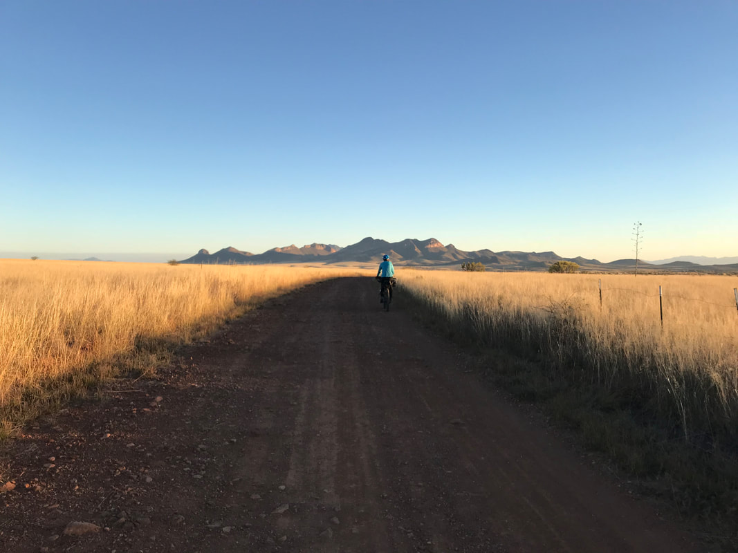
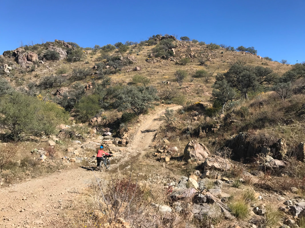
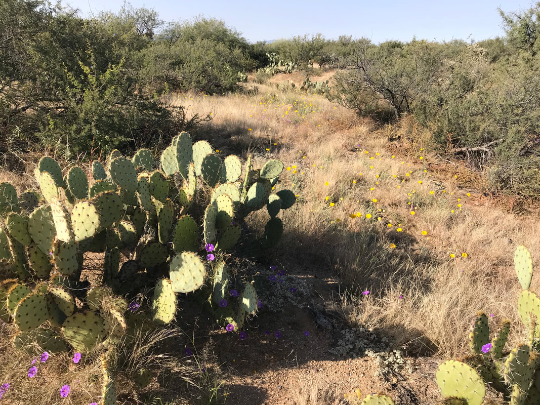
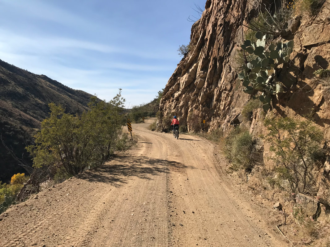
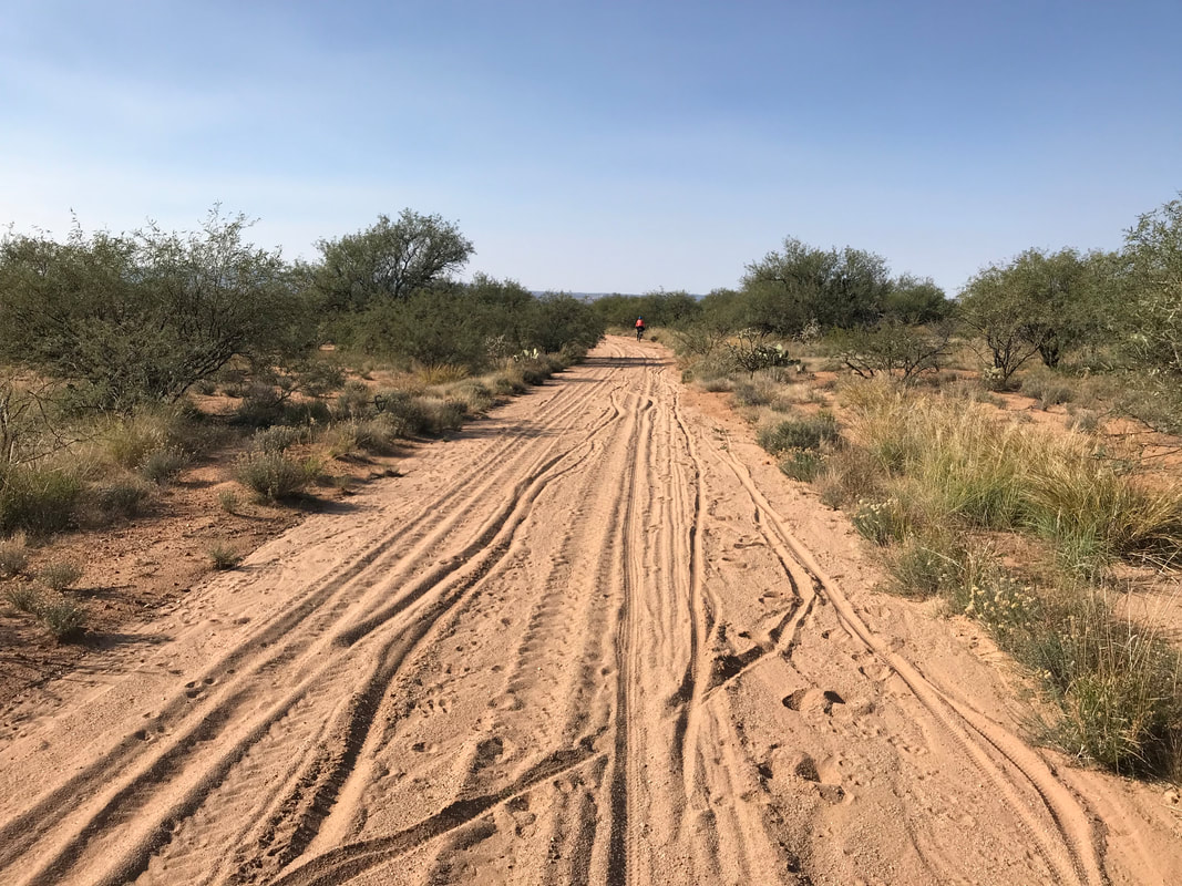
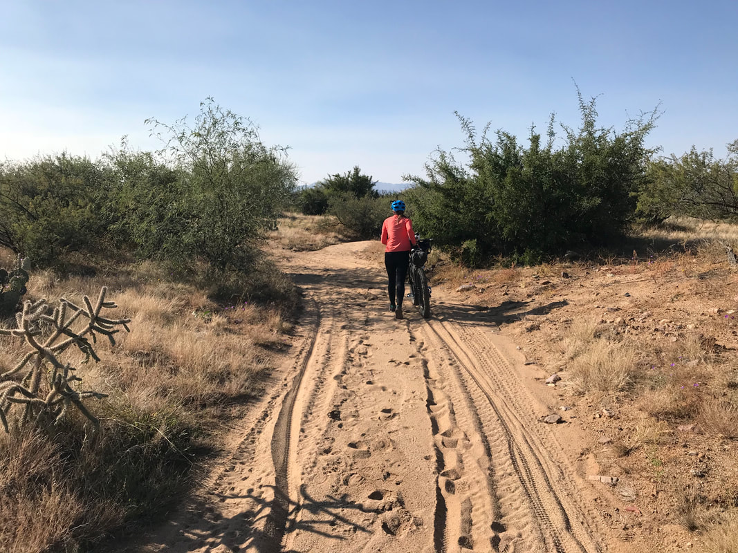
    Here, the road turned left. We passed signs warning of illegal immigration and smuggling before the gentile descent turned into a steeper glorious one. We rounded a curve and the whole of Box Canyon opened before us. It was filled with yellow and red cottonwood trees in full fall foliage. The route curved near a dry waterfall and was built into the side of a cliff and rock wall that was exhilarating to go down. The route joined a rutted and old dirt road that quickly became decayed and sandy. Like REALLY sandy. So sandy that we couldn’t pedal and our bikes with bodies toppled over. We had to walk for a quite a bit (like a few miles) through this section before we found solid dirt again. Janna sped ahead. However, I turned a curve and fell into a cholla and prickly pear cactus. 20 minutes later I freed myself, painstakingly, and made my way to meet her. The route rejoined pavement and we made it to Green Valley. It was now about 4 pm. We stopped at McDonalds to fill our water (the only reliable water for the next two days). A couple walking by were bike tourists and invited us to stay with them. I felt determined to camp out tonight and so declined. Likewise, with the afternoon getting on and the evening approaching, Janna and I skipped the official route in the sandy bed of the San Pedro River for the paved surface of the frontage road. The last of the sun slipped below the horizon; we kept pedaling into the gathering night up the road towards the Santa Ritas. 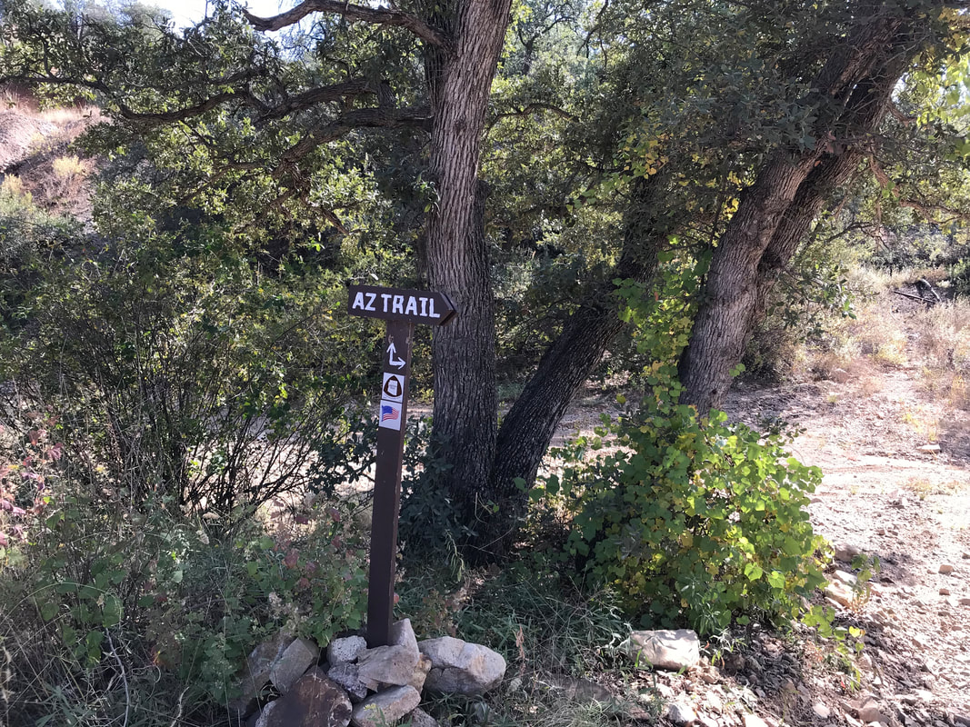 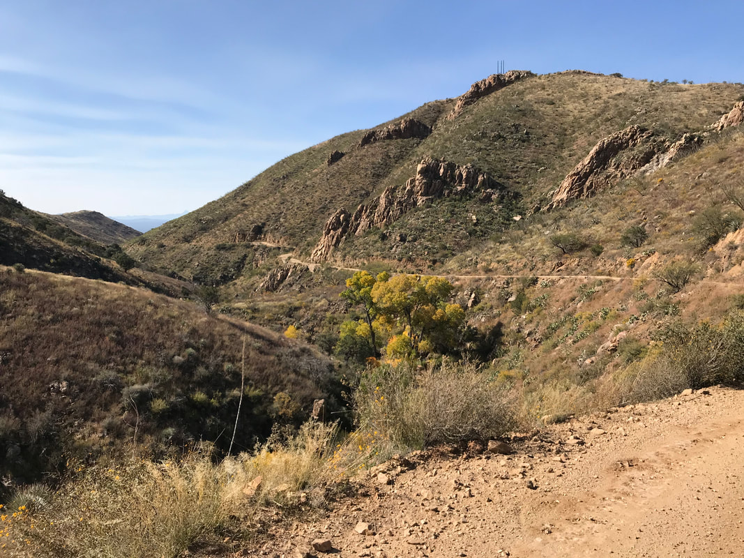 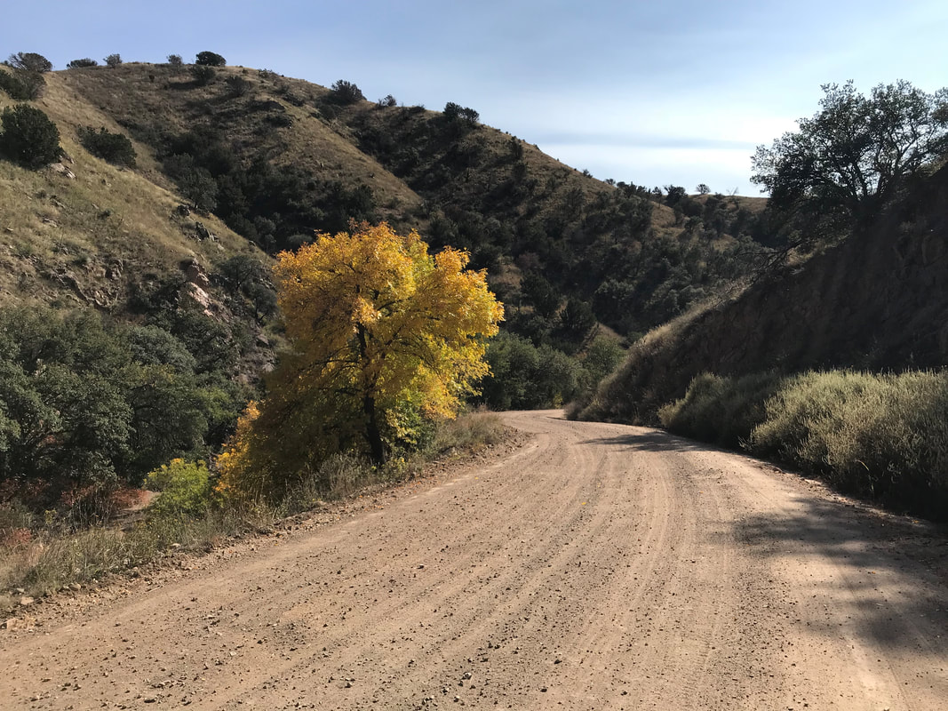
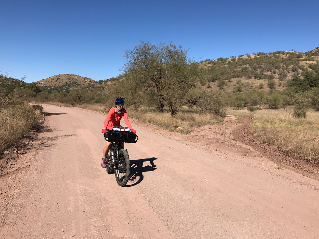
About 70 miles in for the day, Janna began bonking hard. We pulled over in the twilight to rest, eat, and make a plan for evening. I pedaled ahead to see where the Coronado National Forest began so we could do some dispersed camping. Every pullout was occupied by a motorist but I managed to find a good flat grassy spot across the road from an RV. We setup camp and walked down a side road to eat. It was now fully pitch dark. At some point when we were eating in the dark, the people in the RV returned from their daily travel. Janna and I were talking, laughing, eating, our headlamps on when we heard the approach of footsteps. Suddenly, a high-beam flashlight was on us along with a man shouting, “What are you doing here!?” I held my hands up to block my eyes from the light. “We’re just eating,” I responded, annoyed by this person who thought the public land system was theirs. “Speak up!” he shouted back aggressively. “We are two cyclists and we are just camping over there on the other side of the road!” I yelled back. “You need to make yourself known next time. I was about to light you up!” said the guy as he then moves the light away and obviously lowers a gun. HOLY SHIT! Janna and I quickly finish eating and cautiously walk back to our tarp. I was super angry and offended. You are camping, along with everyone else, on public land. And someone camps nearby and your response is to come over and threaten to shoot them if they don’t come and “make themselves known.” It probably doesn’t need to be said, but I barely slept a wink that night as I stayed alert for our possible neighbors to come over and “defend” themselves across the street from two cyclists camping. 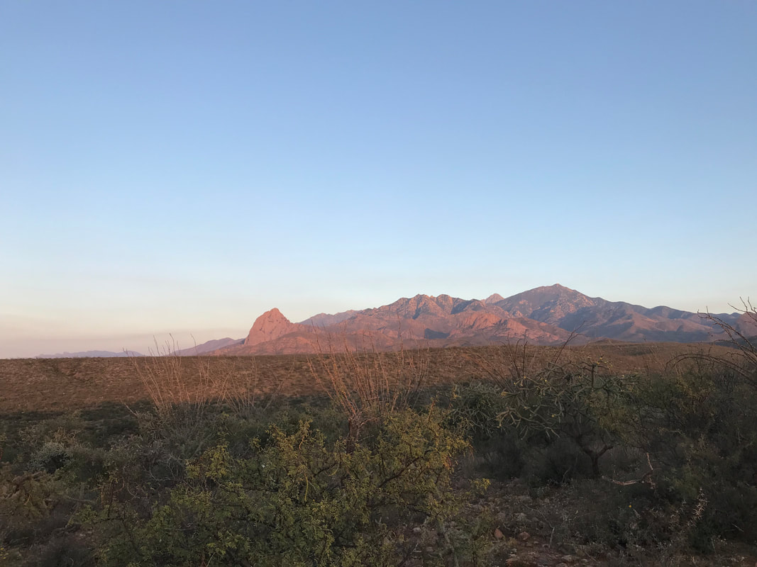 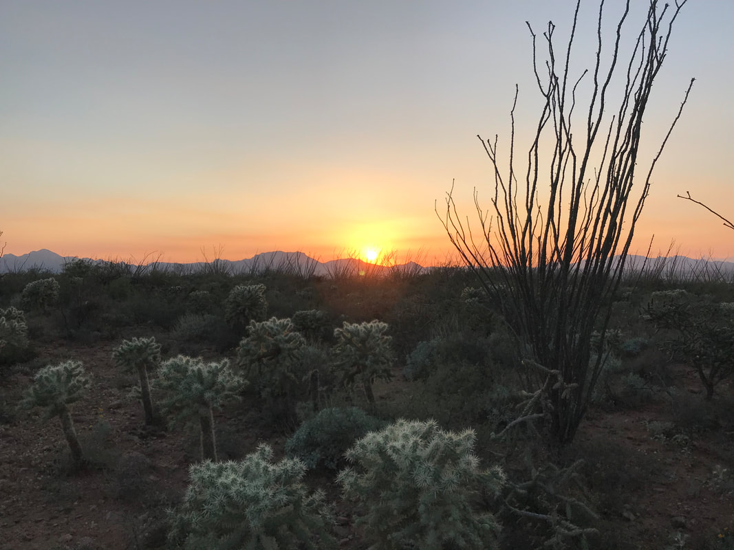 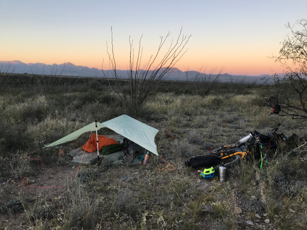 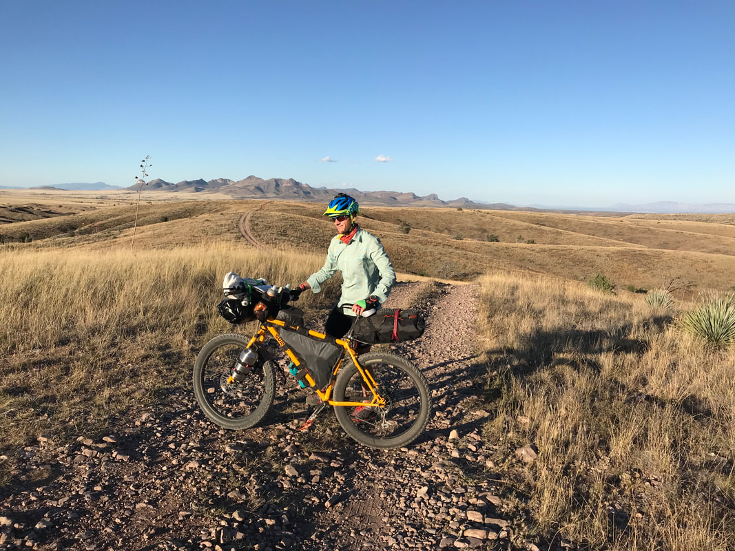 “Classic, like all my trips,” I thought to myself. The night before our first time bikepacking was also the first time I put my bike together with all the foreign bikepacking gear. Janna and i stayed up late, wedging, crushing, and strapping gear all over our bikes. Up until 11 pm, after a full quarter and a half of teaching, we both stood back to look at our bikes completely packed out of volume with gear still needing to be added. If ultralight backpacking makes you aware of gear weight, then ultralight bikepacking made you aware of gear volume. Taking a razor to the remaining gear, we removed anything that was absolutely essential before going to bed exhausted. The next morning, we found ourselves parked outside Patagonia, AZ at the Arizona Trailhead up Harshaw Road. We built up the bikes. The whole time I kept thinking, “How is this all going to fit?…What is this going to ride like?…” The moment I stepped on the bike and pedaled, I realized that the front handlebar bag completely eclipsed any opportunity to see my wheel. I freaked out. Also, the bikes were SO HEAVY. I had a sinking feeling in my stomach I was doing this all wrong, that I was completely unexperienced, and that I would most likely wipeout not being able to see the rolling presence of my front wheel on ground. At this point, some day riders showed up at the trailhead and told us how much they loved bikepacking. On some subconscious level I reasoned that I like like an utter inexperienced toolbag to them. But Janna was ready. There was nothing else to do but push off. We pedaled the heavy bikes up the road. We split onto Harshaw Road only after going the wrong way. I had paper maps of the route, but no formal GPS device. Luckily, I had uploaded the route on the Gaia app just as a backup; a prescient move as after a few wrong turns we realized the paper map were useless. We relied on checking my phone for the remainder of the route, precipitating a Garmin eTrex20 purchase when we got back. We wound up Harshaw Canyon road before taking a “lunch break” under the shade of some oak and pine. We both seemed exhausted after only a few non-technical miles. Food in the stomachs, we continued on by winding through the forested canyon. 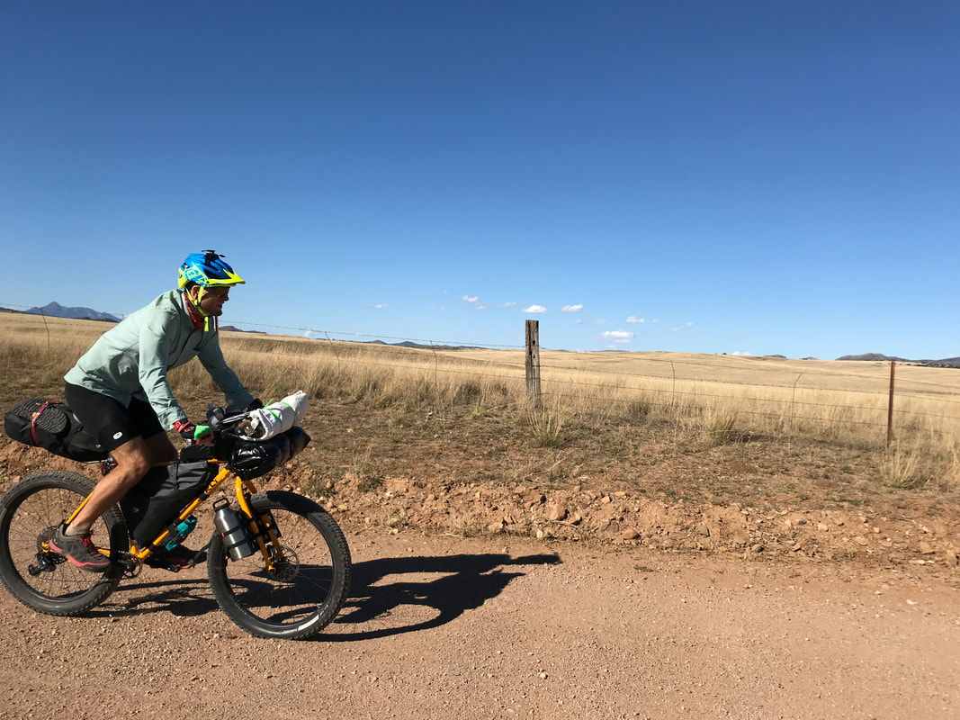 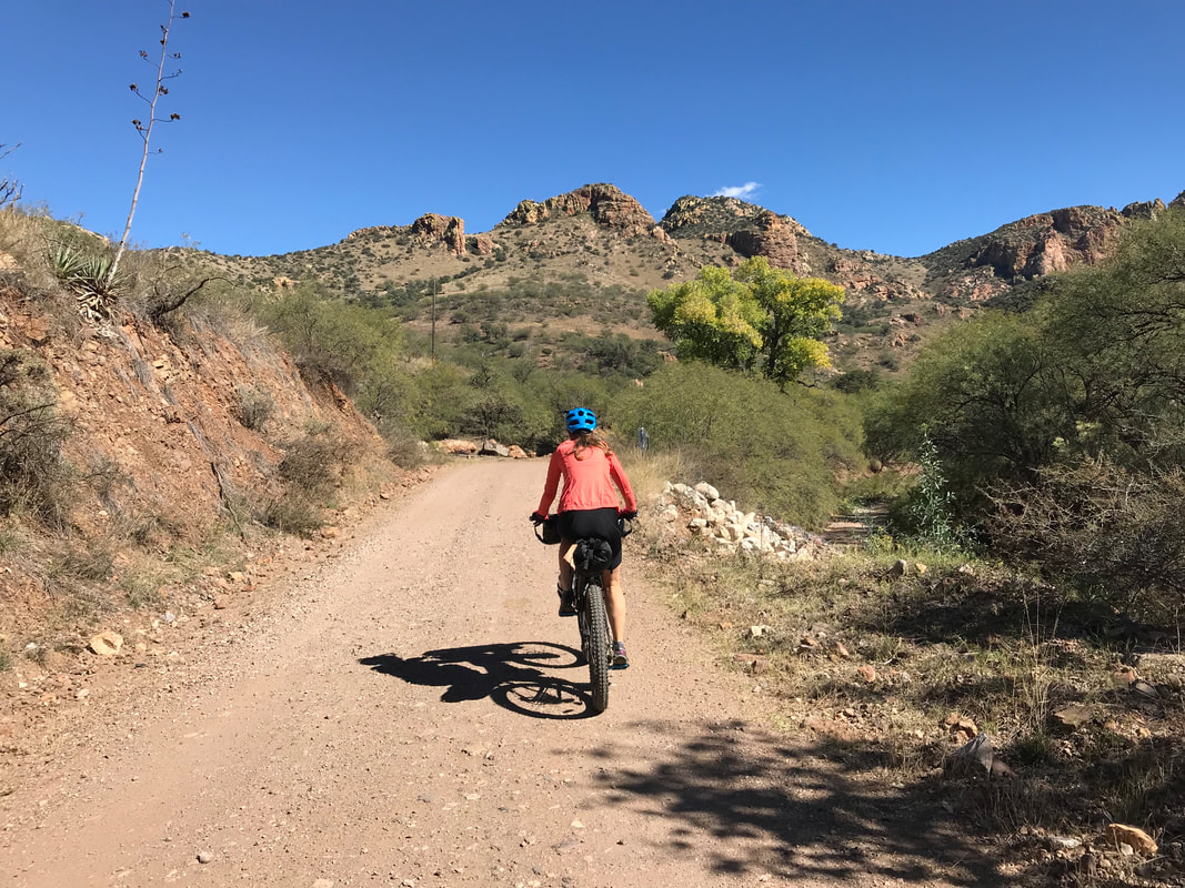
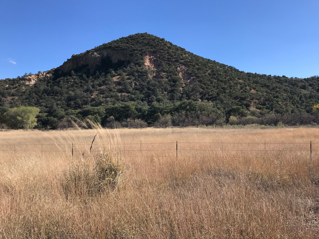
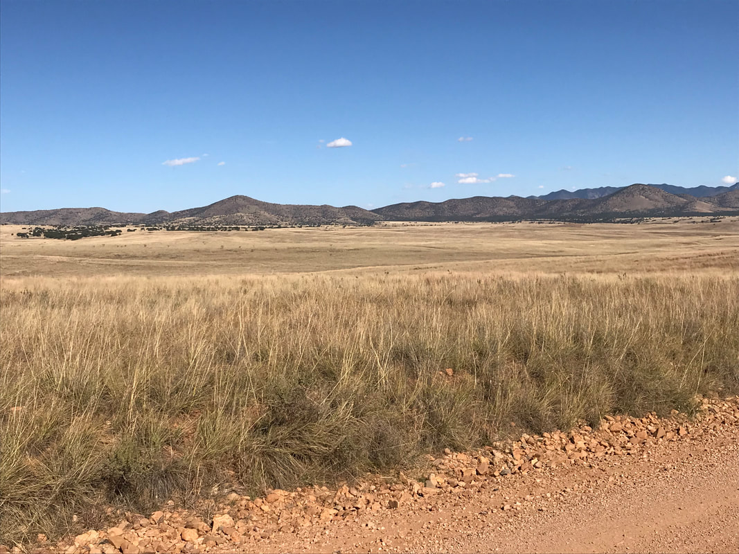
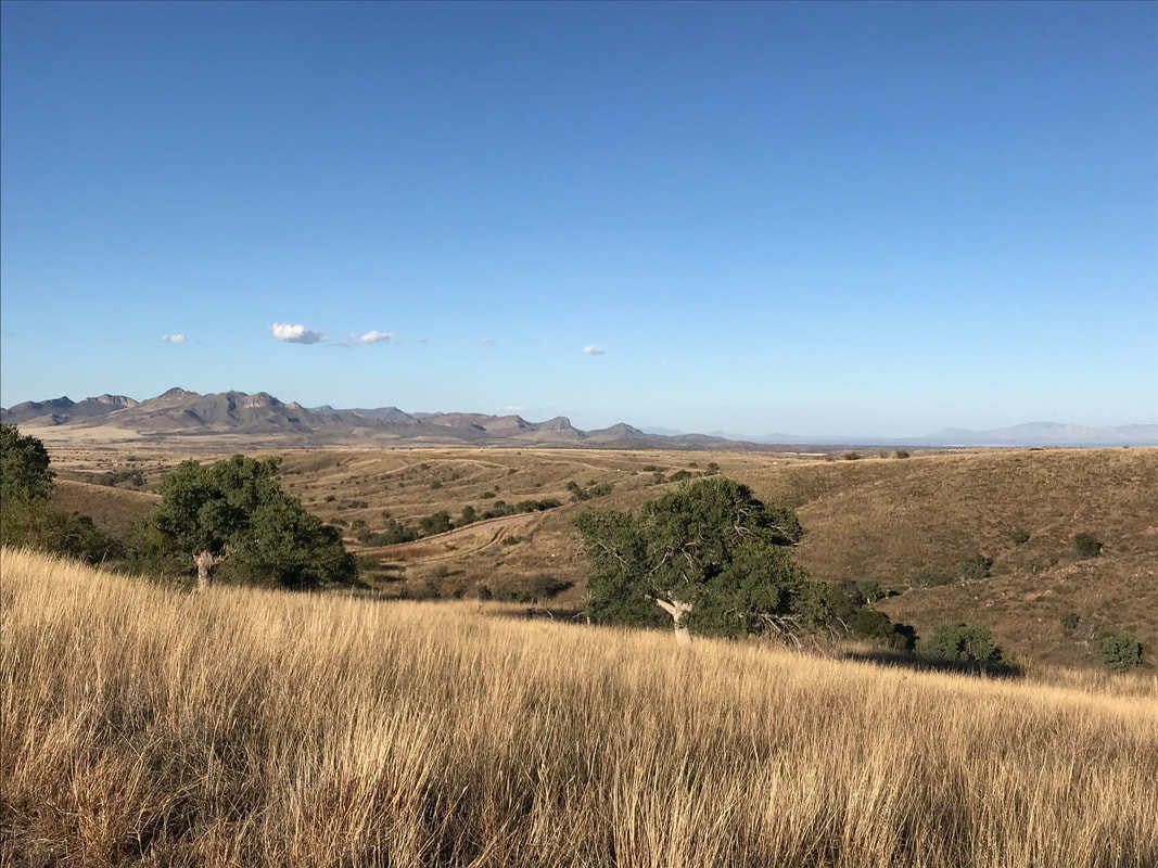
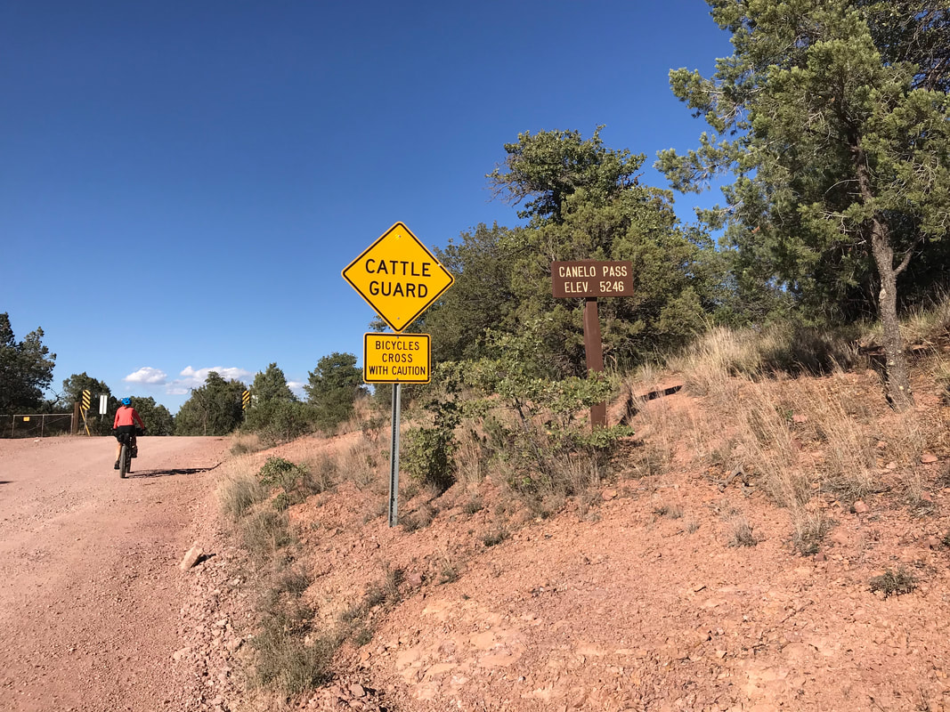
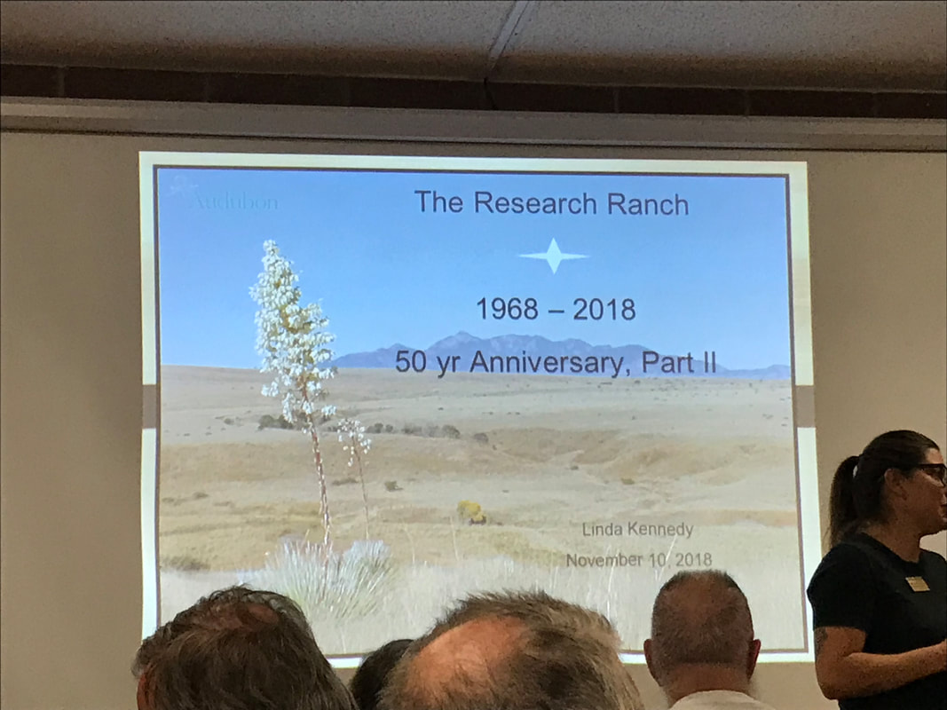
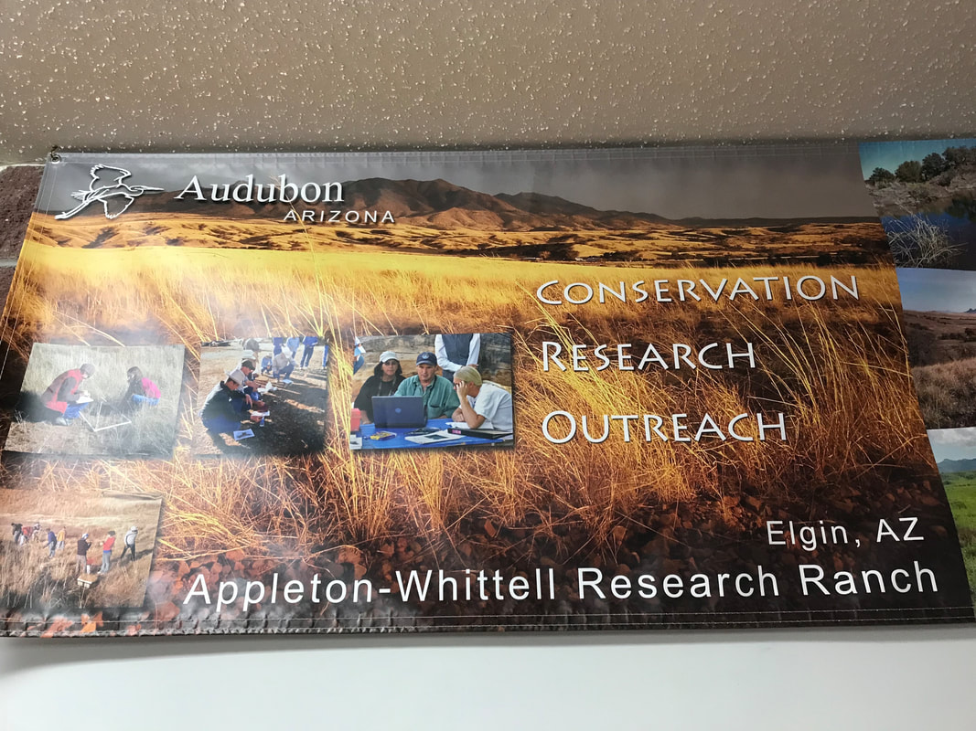
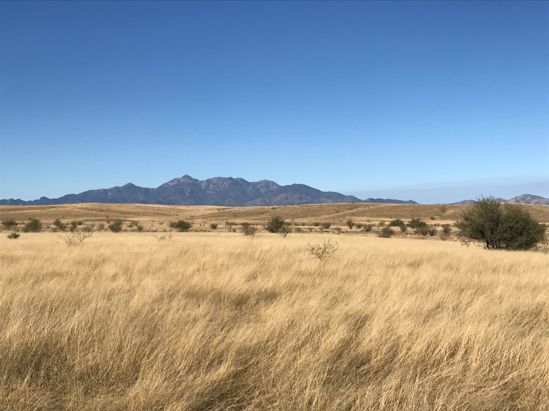
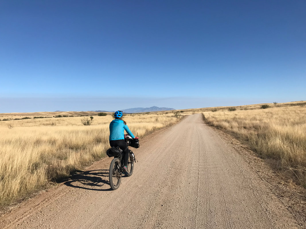
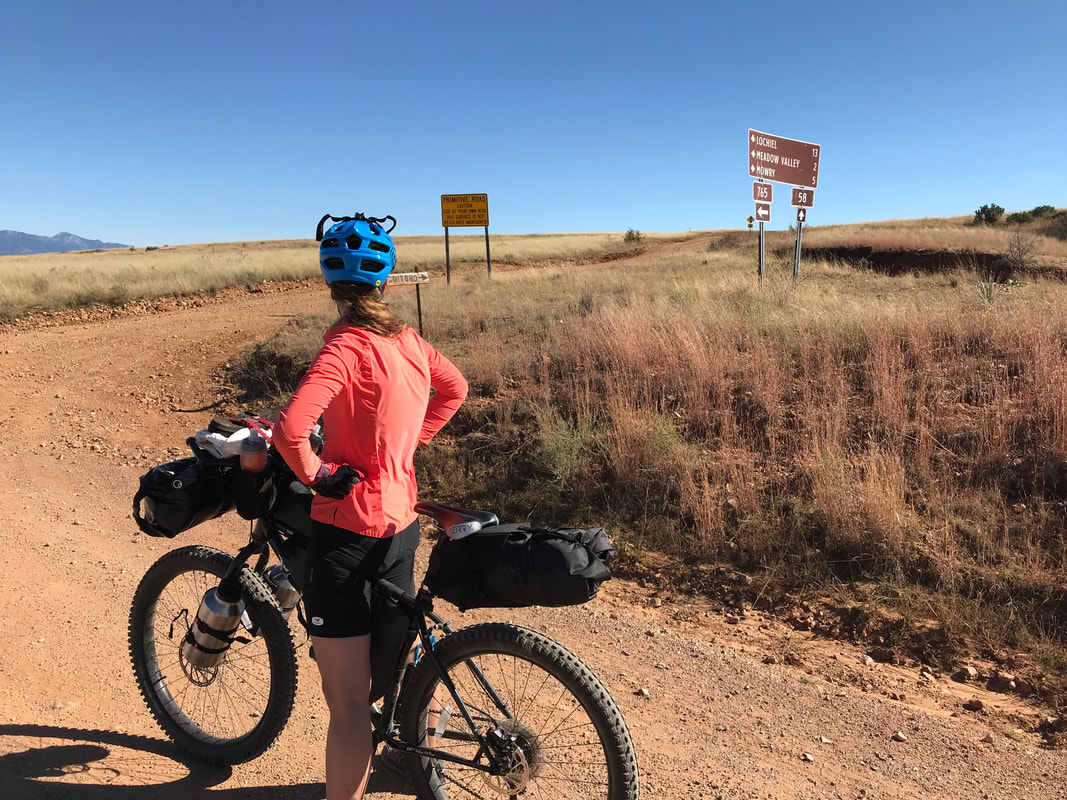
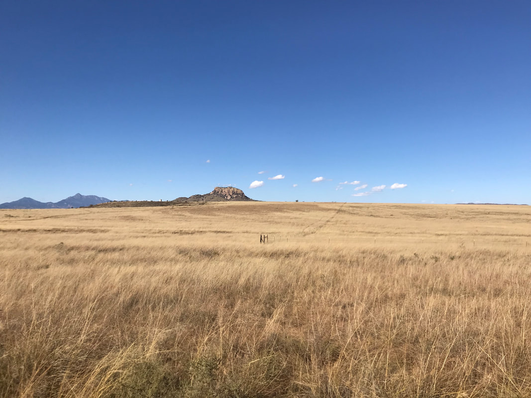
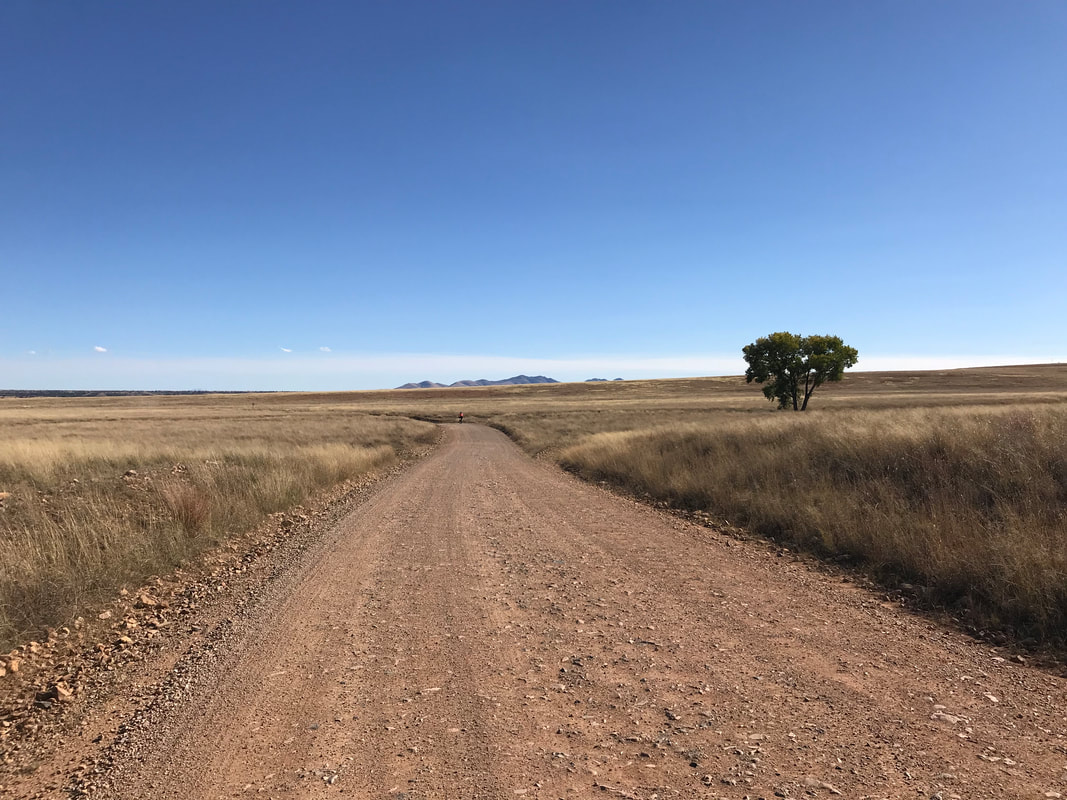
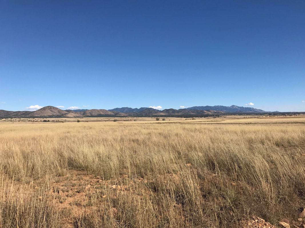
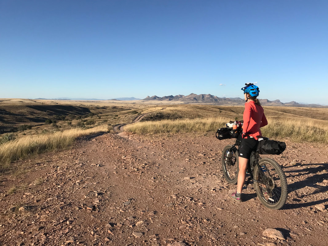
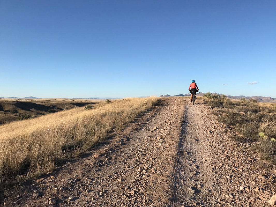
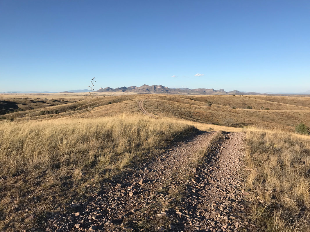
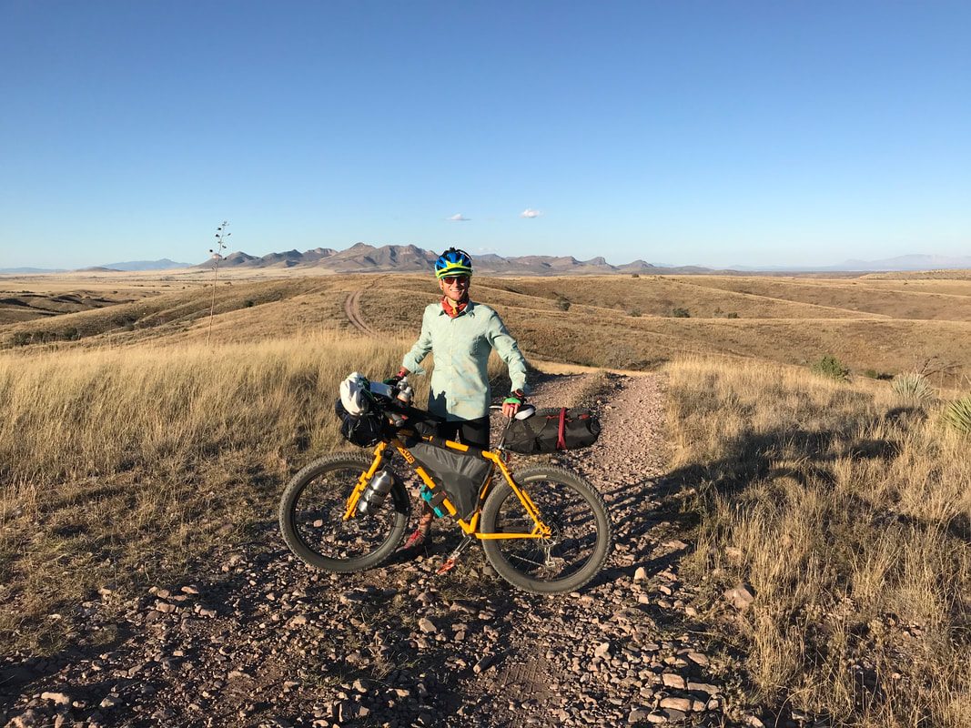
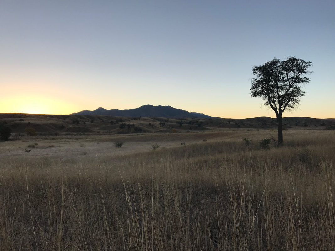
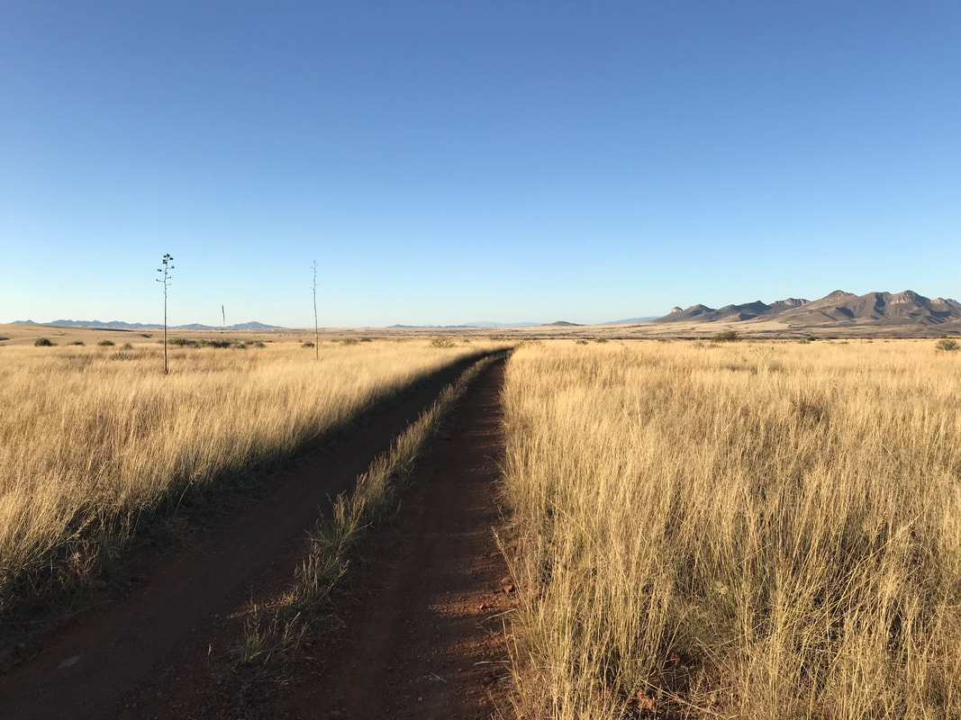
 The dirt road began an ascent until we popped out on the most gorgeous spread of grassland that took both of us by complete surprise. I’ve explored a lot of southern AZ with its grasslands, but this seemed next level. A massive sprawl of golden bunch-grass prairie spread out in all directions. The grass grew evenly over rounded hills and buttes. In the distance, the Huachucas and Canelo Hills split the horizon. We biked slowly, and I couldn’t stop uttering how beautiful it all was. By the time we topped Canelo Pass, it was moving into late afternoon. We sped down the other side and passed by a number of ranches. The road merged with a split paved section. We took the left and enjoyed cottonwoods in yellow dress, that is, until we realized we had gone the wrong way. We retraced our pedalstrokes and took the right, climbing up a hill next to a historically preserved schoolhouse. I was getting anxious with the afternoon turning to evening to get to the Audubon Center. Again, we missed a turn and had to go back up a huge climb. Finally, we found the faint doubletrack that led away from the paved road up onto a ridge. From there, the Whetstone Mountains gorgeously rose behind a curved mesa of grassland cover punctuated by the gentle curves of the doubletrack (see the photo above). I couldn’t get over how beautiful it all was. And despite approaching evening, I stopped to take photo after photo; there was nowhere else I would have rather been. We put the code into the padlock (the Audubon Center provided us) and passed through the fence before descending down to the cluster of buildings that make up the research ranch. We quickly found the casita and were let in. It was a really nice place to stay with a bed, small kitchen, and bathroom. Once changed and showered, we walked up the road for a ¼ mile to the main building. Inside, a massive community potluck was going on. Everyone greeted us warmly, encouraged us to eat heapings of food, and then sit back to enjoy a presentation put on by the Audubon Ranch and the citizens of Elgin. It was so interesting to hear the history of the research ranch, especially the environmental aspects. After dinner, we walked in the frigid night back to the casita. 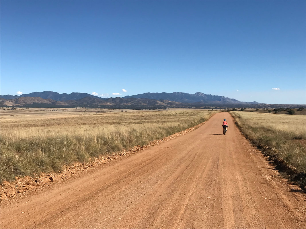
|