Guides to the Full Bikepacking Routes
|
|
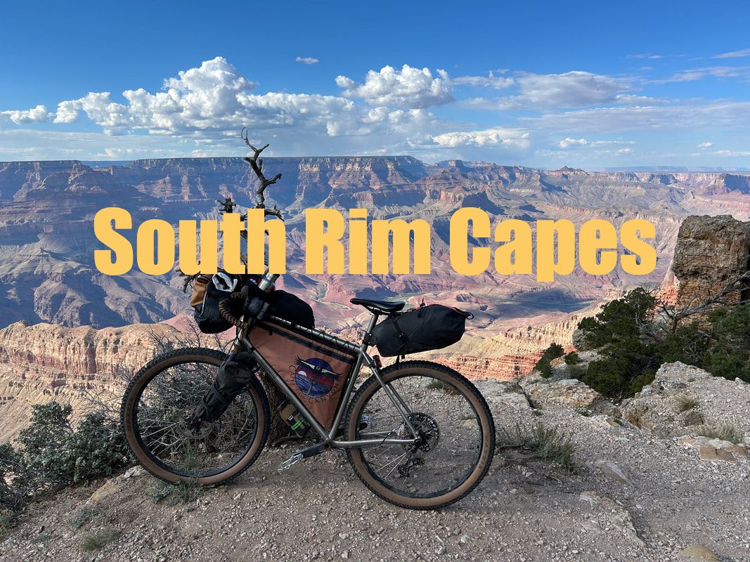
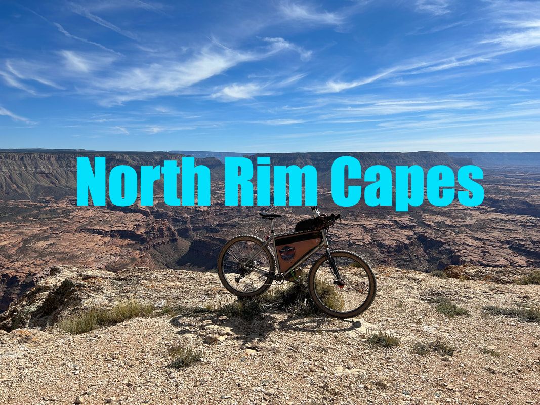
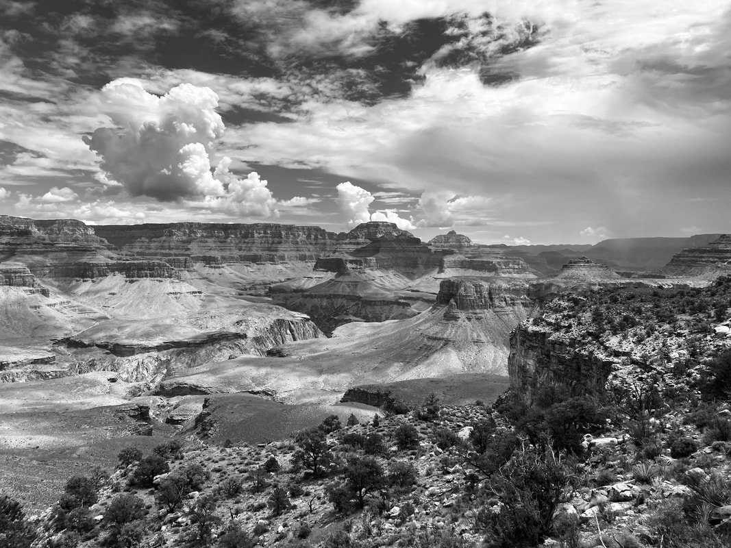
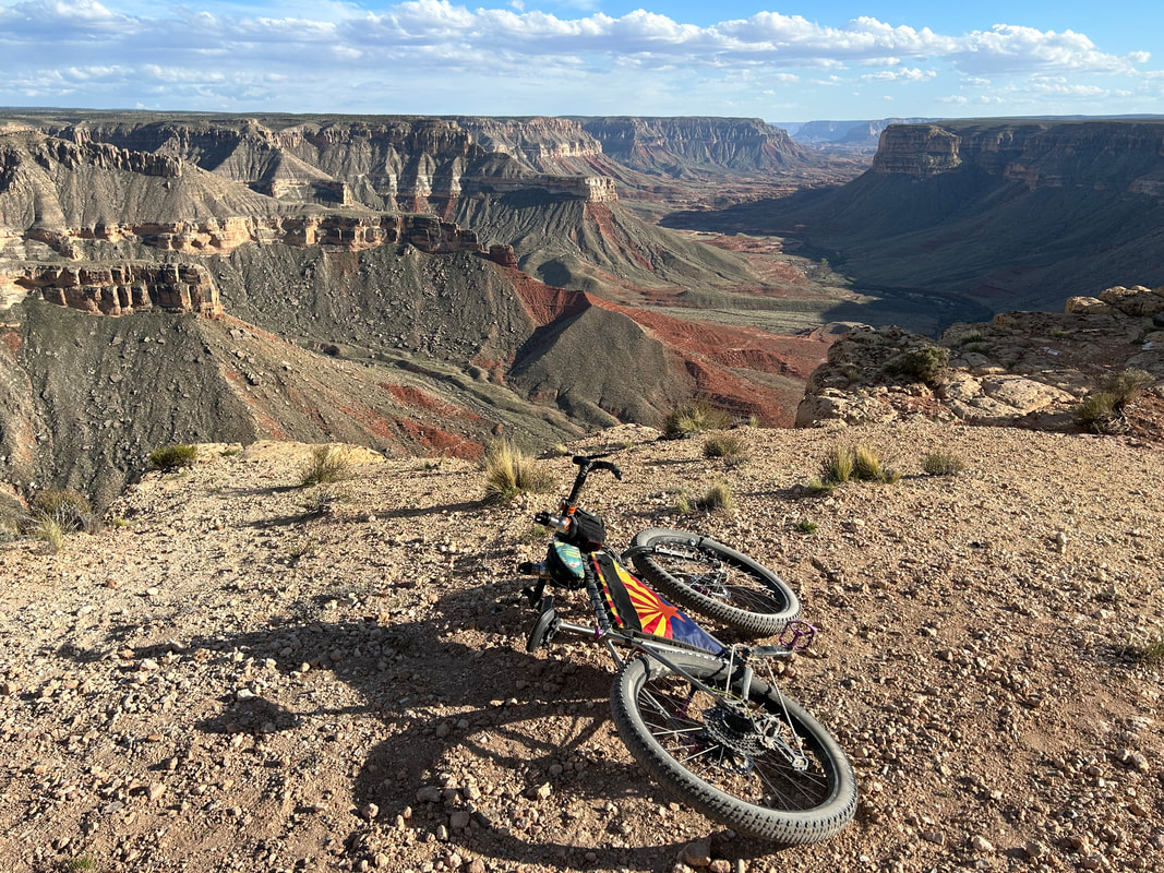
The Capes of the Canyon are a set of two bikepacking routes located on the South and North Rims of Grand Canyon National Park. Both routes traverse classic Colorado Plateau geography. The COTC take riders into vast forests of pinyon, juniper, ponderosa, aspen, and spruce. They travel through open subalpine meadows and arid savannahs. They cross exposed plains of sand, sage, stone, and prickly pear. They traverse across benchlands and canyonlands topography. They touch the waters of the Colorado River. And most strikingly, they take bikepackers to Capes of land jutting out into geological space, providing riders iconically recognizable and rarely regarded views of the Grand Canyon.
The Grand Canyon bisects the portion of the Colorado Plateau found in Northern Arizona into two distinct halves. The South and North Rims offer bikepackers different views, perspectives, elevations, temperatures, climate, vegetation, and remoteness. Thus, the COTC exists as two circuits: South Rim Capes and North Rim Capes.
The Grand Canyon bisects the portion of the Colorado Plateau found in Northern Arizona into two distinct halves. The South and North Rims offer bikepackers different views, perspectives, elevations, temperatures, climate, vegetation, and remoteness. Thus, the COTC exists as two circuits: South Rim Capes and North Rim Capes.
Maps for the Routes
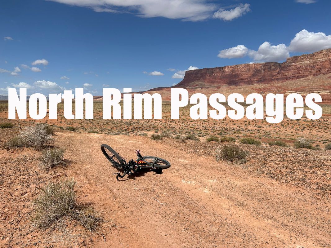
Overnighters and Passages
Ride shorter Overnighters on the COTC or Section-Ride the entire South and North Rim Passages over time!
Overnighters and Passages are ideal for riders who:
Overnighters and Passages are ideal for riders who:
- (a) Want to explore the routes on shorter weekend Overnighters.
- (b) Don't have enough time/money for the full routes in one continuous trip but instead want to section-ride the Passages over time.
- (c) Are new to bikepacking and feel more comfortable taking on shorter Passages of the routes.
- (d) Want to explore the Grand Canyon region on day rides.
- (e) Have narrow weather windows outside of the optimal seasons for riding the whole routes.


|
|
Connecting the Routes and Getting to Them
Capes Connectors are options for riders who are either looking to ride to the start of the routes OR for riders looking to connect both the South and North Rims for one continuous trip.
Partner Organizations

|
|