|
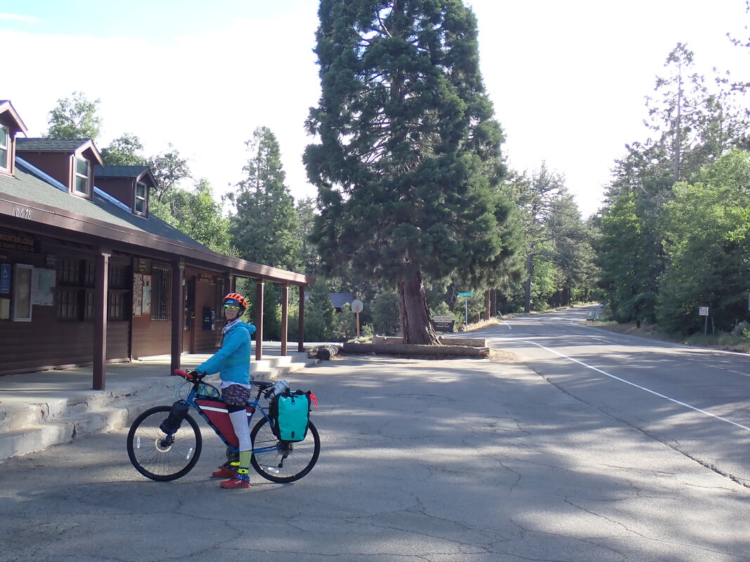
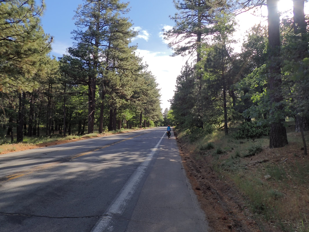
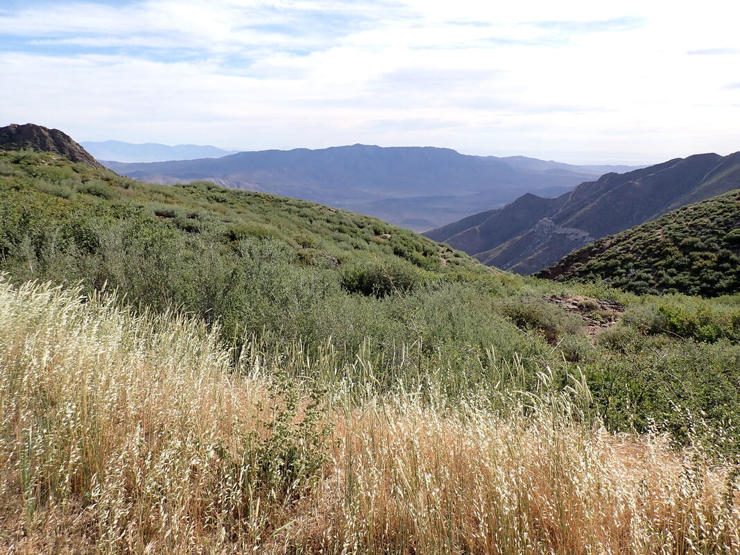
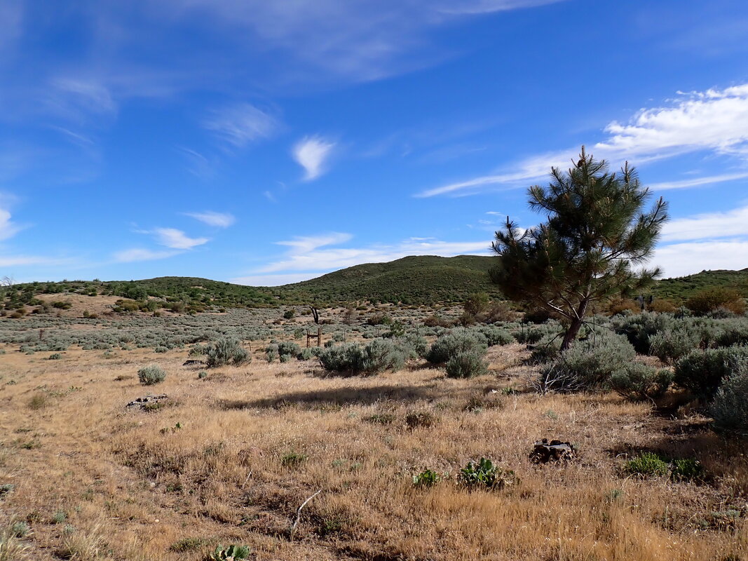
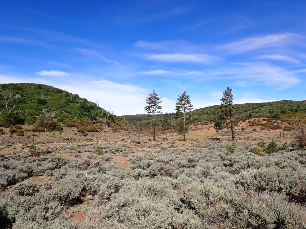
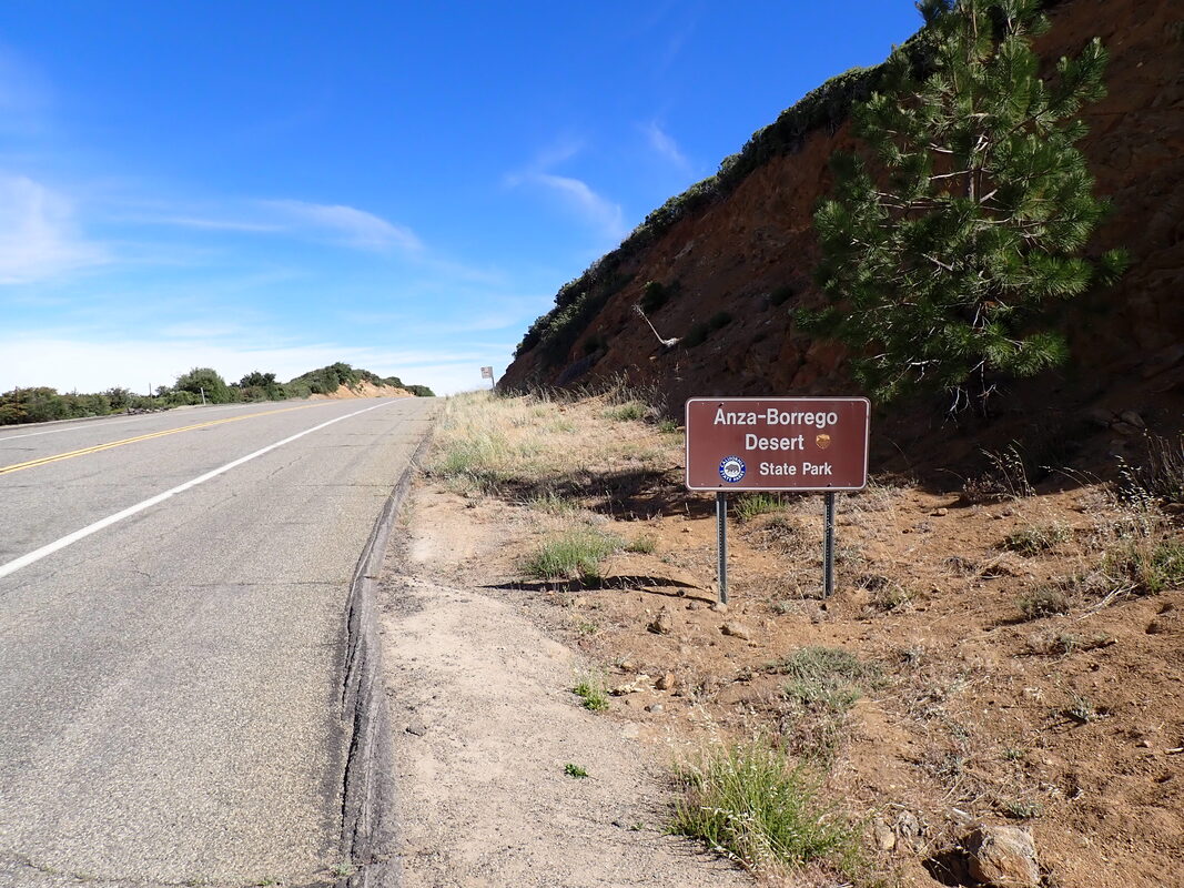
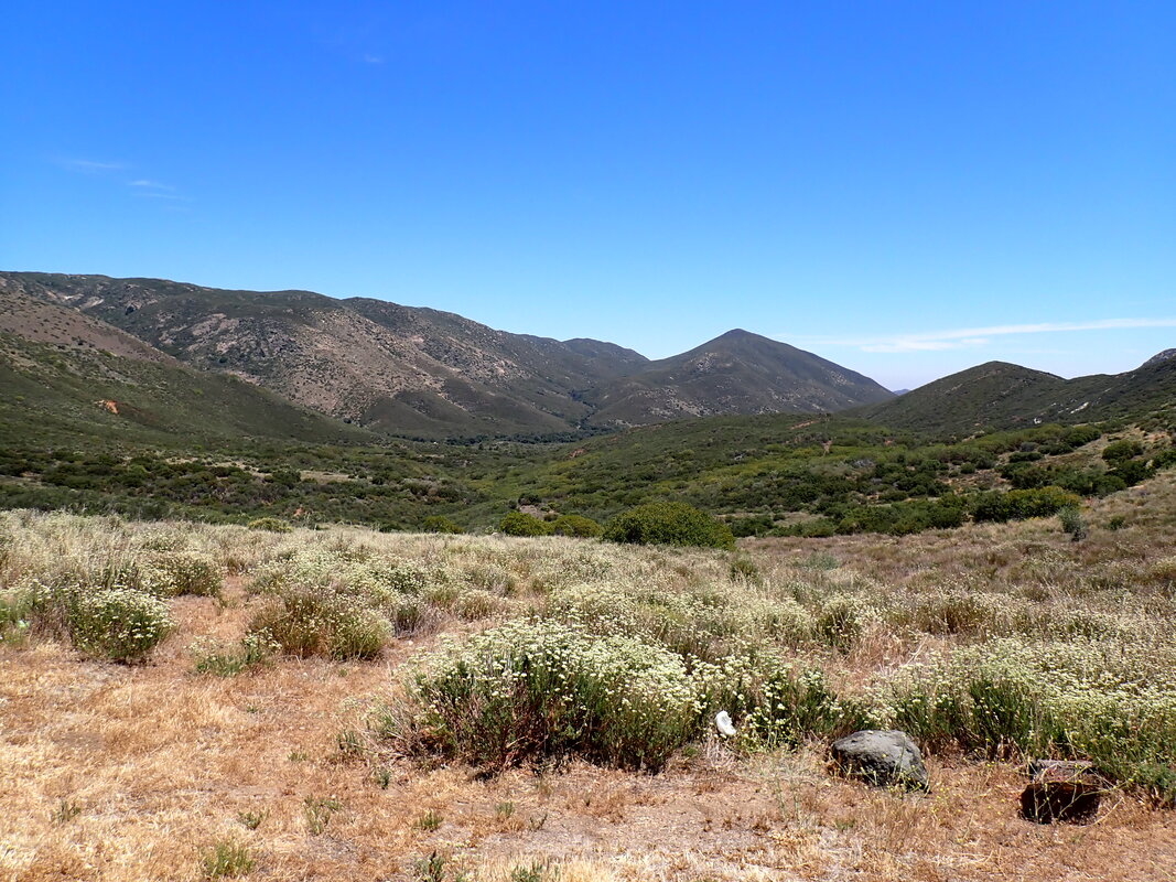
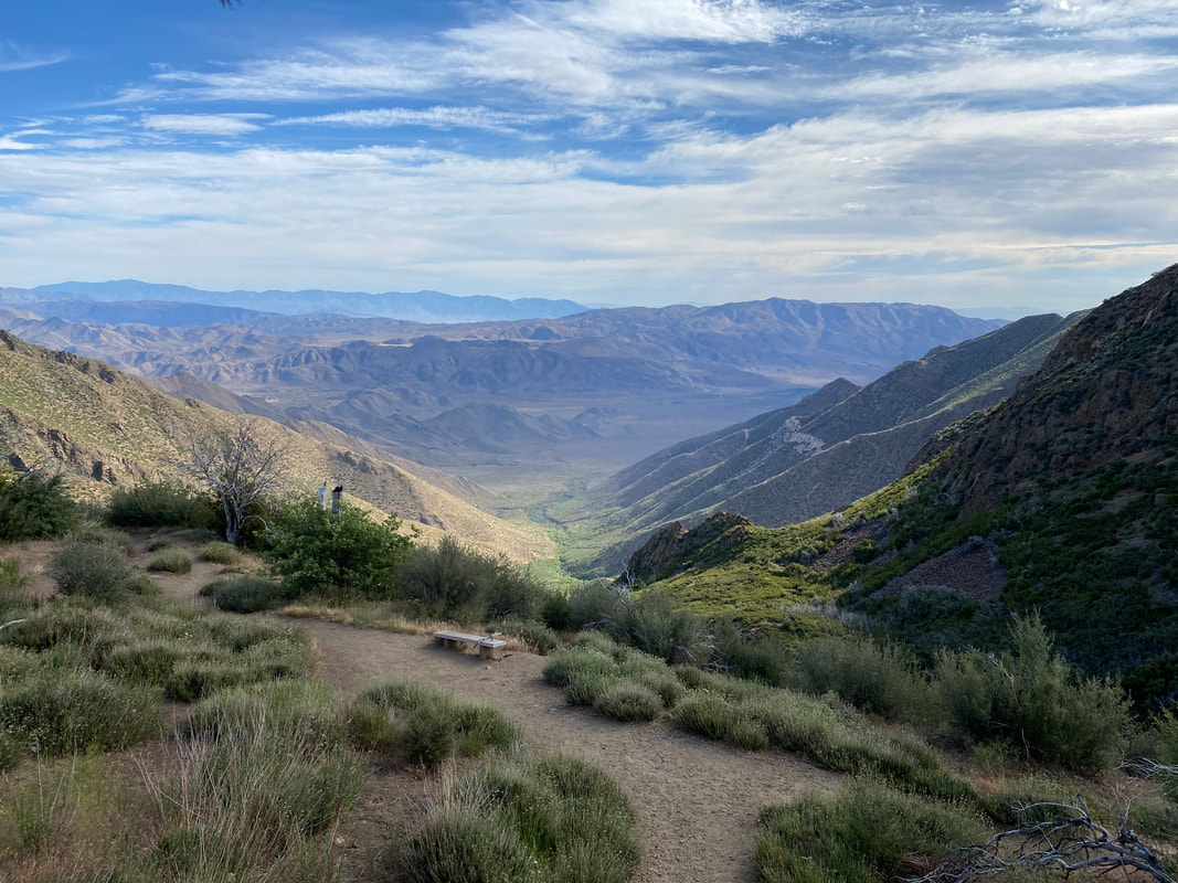
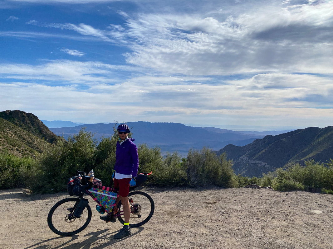
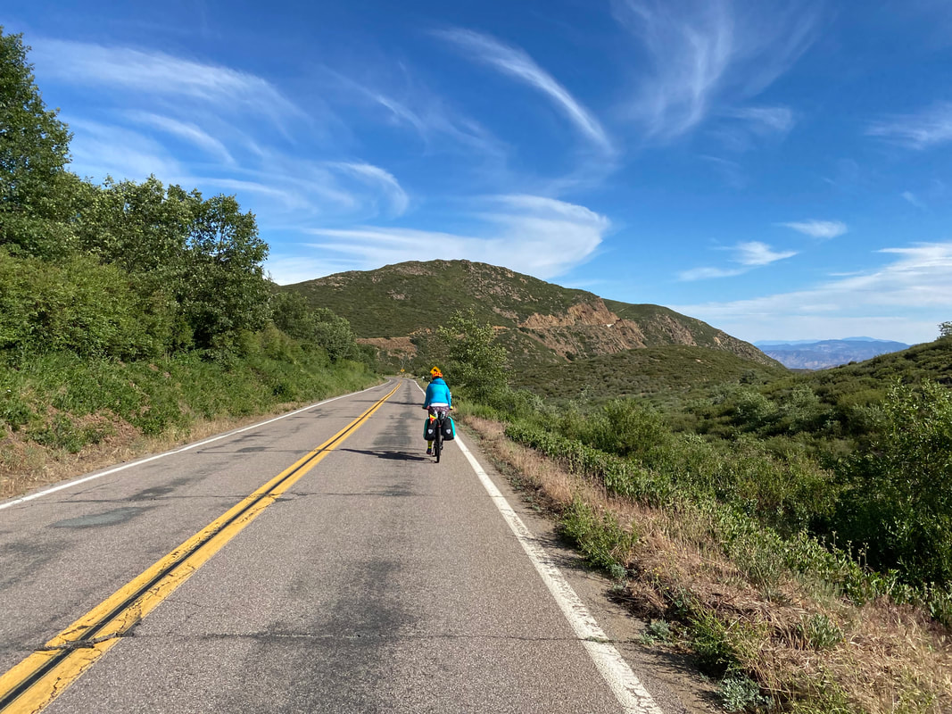
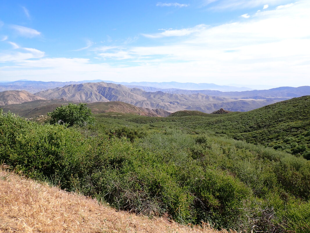
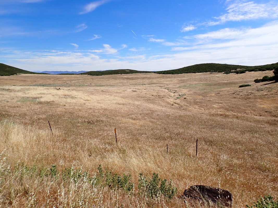
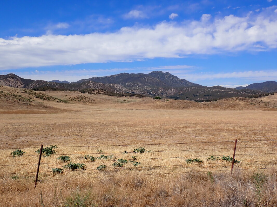
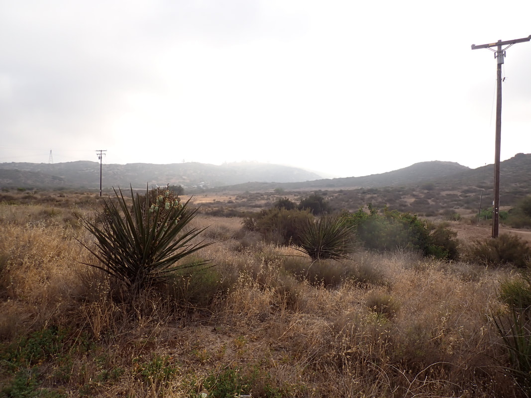
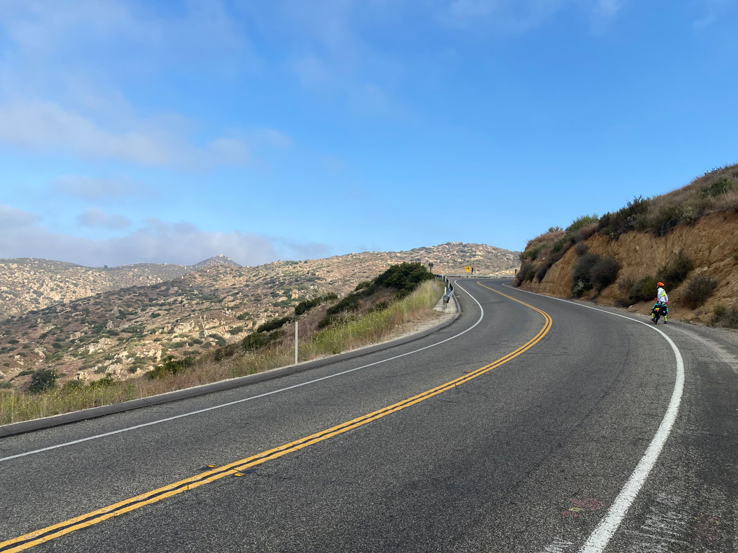
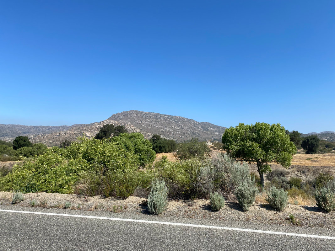
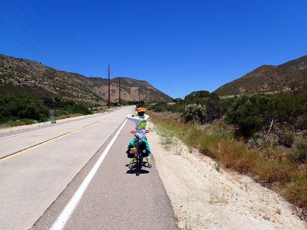
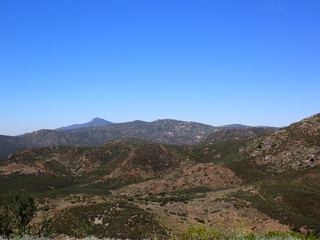
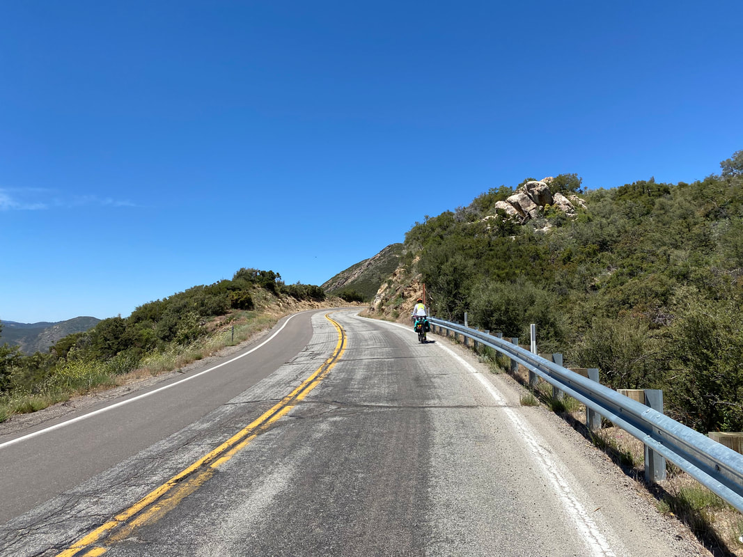
57.52 Miles; 2,707 Feet of Gain; Mt. Laguna, CA to Oak Grove, CA 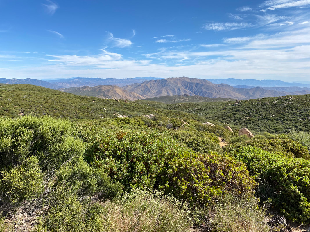 It was a truly relaxing night on top of Mount Laguna. The start of the night left me sweating from the heat of the day, but that quickly dissipated in the early hours of the morning to coolness. In fact, there was a chill in the air when we woke up the next morning. We packed up camp from the quiet and empty campground before pushing out down to the Laguna Mountain Lodge and Trading Post. Unfortunately, it was closed and not due to open for another hour or two; we had miles to go so we took a few pictures and continued up a slight incline in the trees. The road curved and suddenly, we were heading down the north/opposite side of Mount Laguna. Pines quickly faded to oaks which fell away in an old burn scar now filled with manzanita. Before us, expansive views down to Anza-Borrego Desert State Park opened up at every curve in the road. We stopped again and again to gaze down at the legendary desert. It seemed such a contrast to be up here in the green manzanita flanks of a mountain with wind jackets on and high cloud cover ahead while distant bleached desert peaks and a venerable roasting oven of Anza-Borrego Mojave desert lay below us. The threat of June heat didn't evade us. We knew our descent would take us down into it. It was morning still, so we needed to move. Janna and I kept pedaling down the car-free highway until the greenery of altitude was replaced by brown summer grass and faded sage. The high desert grasslands swallowed us up. I sign welcomed us to this high point in Anza-Borrego State Park where another curve in the road brought more manzanita sea flowing with green against earth tones of heat afar. Jumbled rock piles and reminiscent of Joshua Tree stood on distant desert peaks. The day was getting hot, but the movement on the bike kept the convective heat loss in our favor. That, and the marine layer had crept far inland again giving us a "slight" cloud cover this morning. 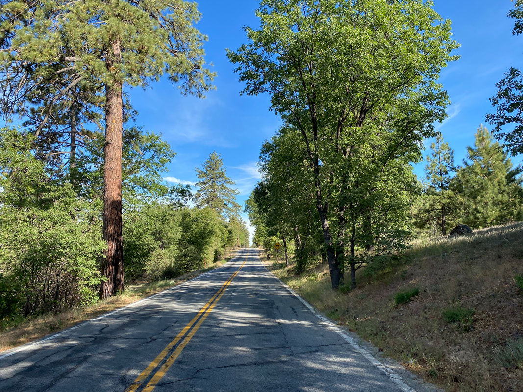
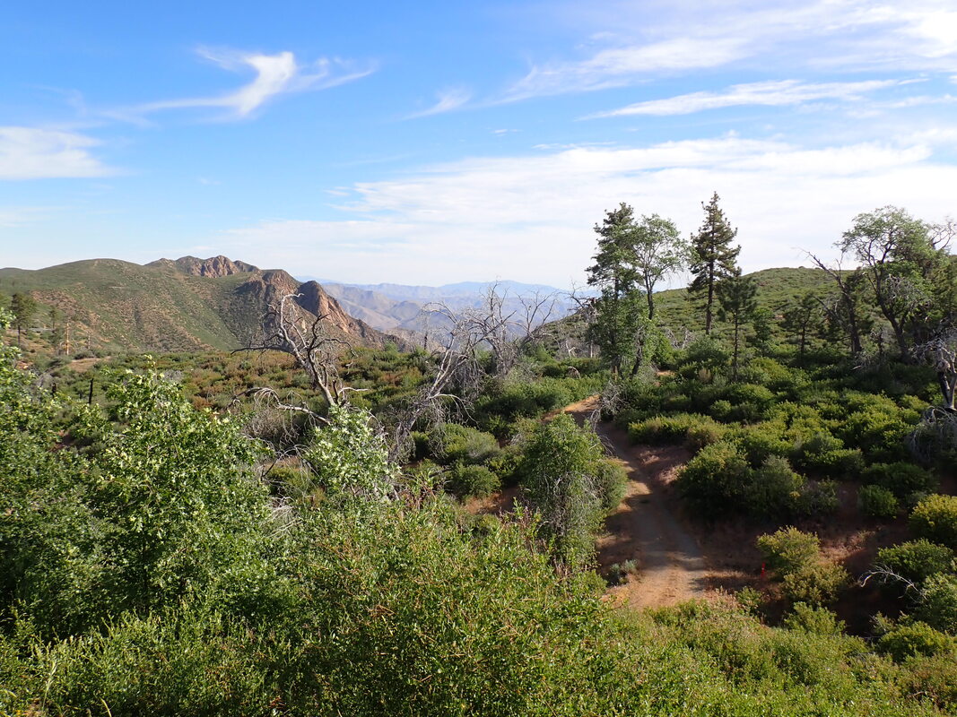   
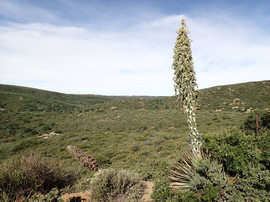
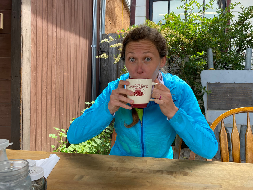
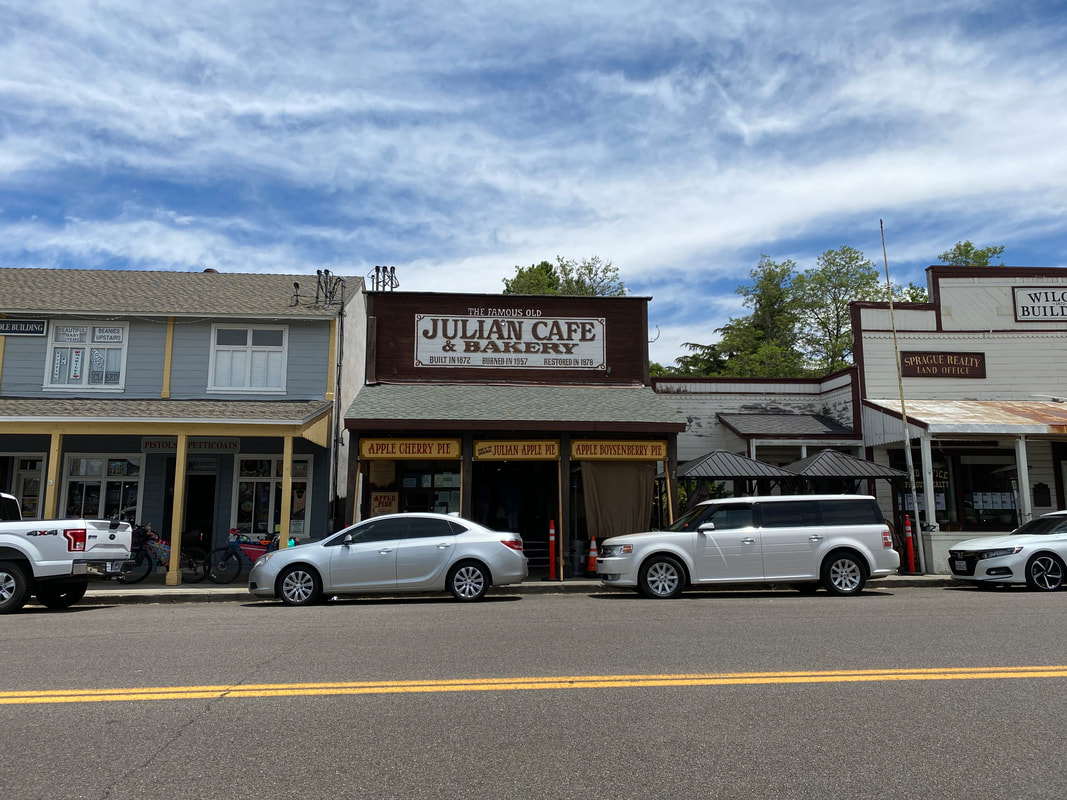
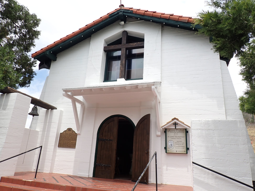
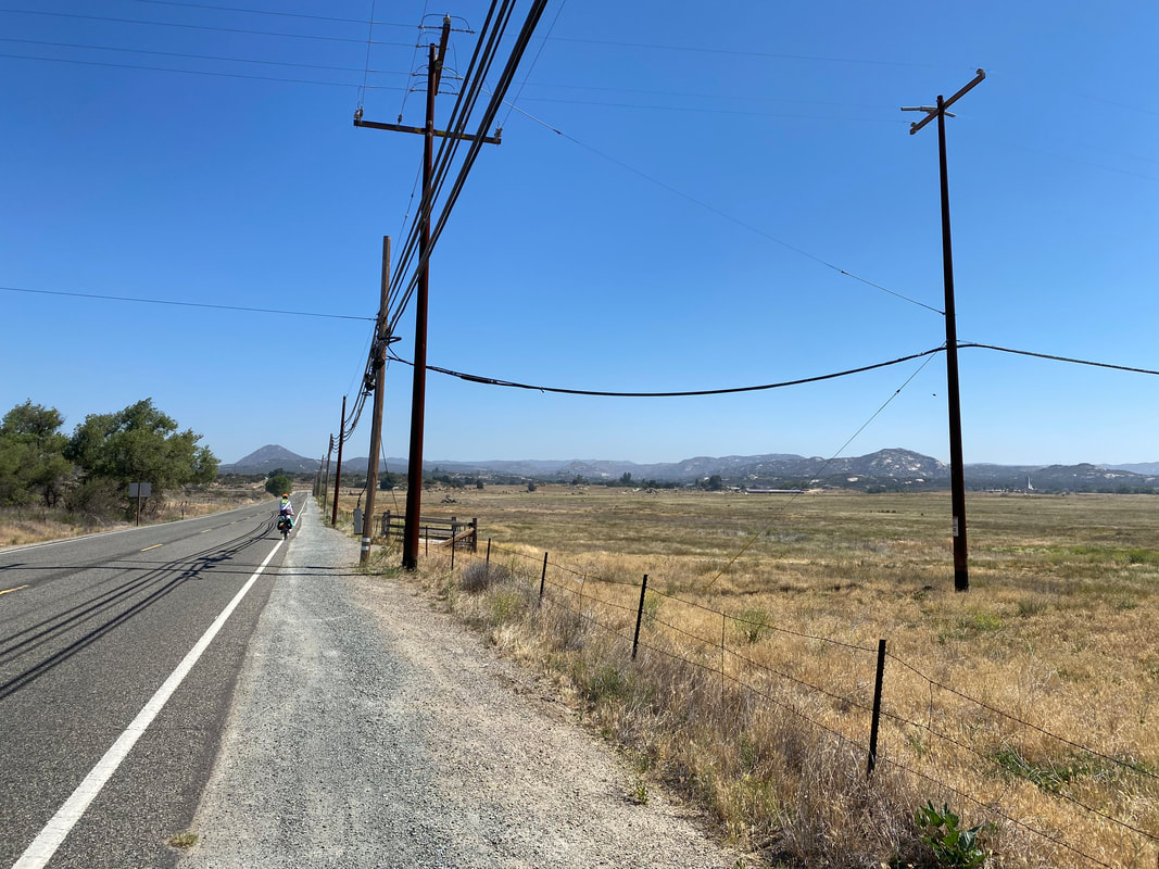
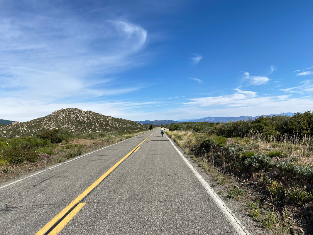
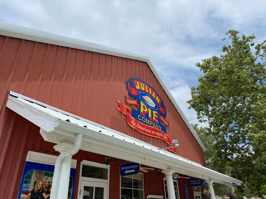
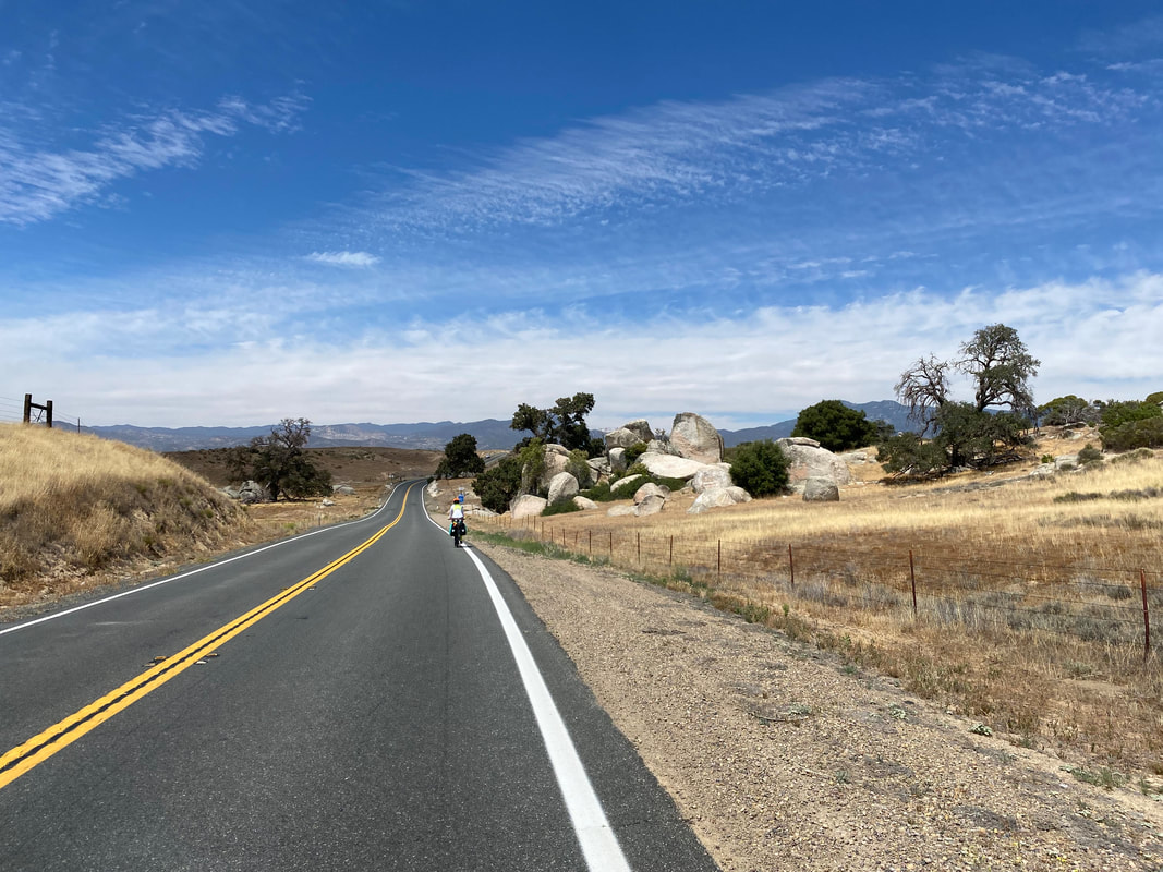
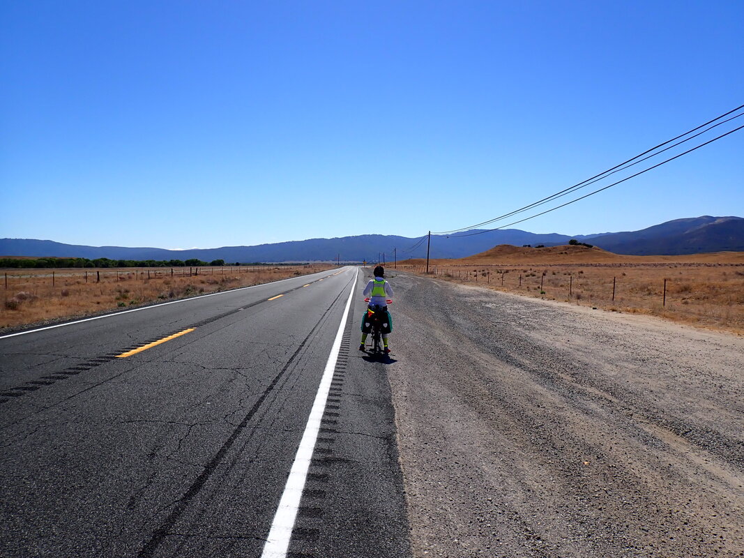
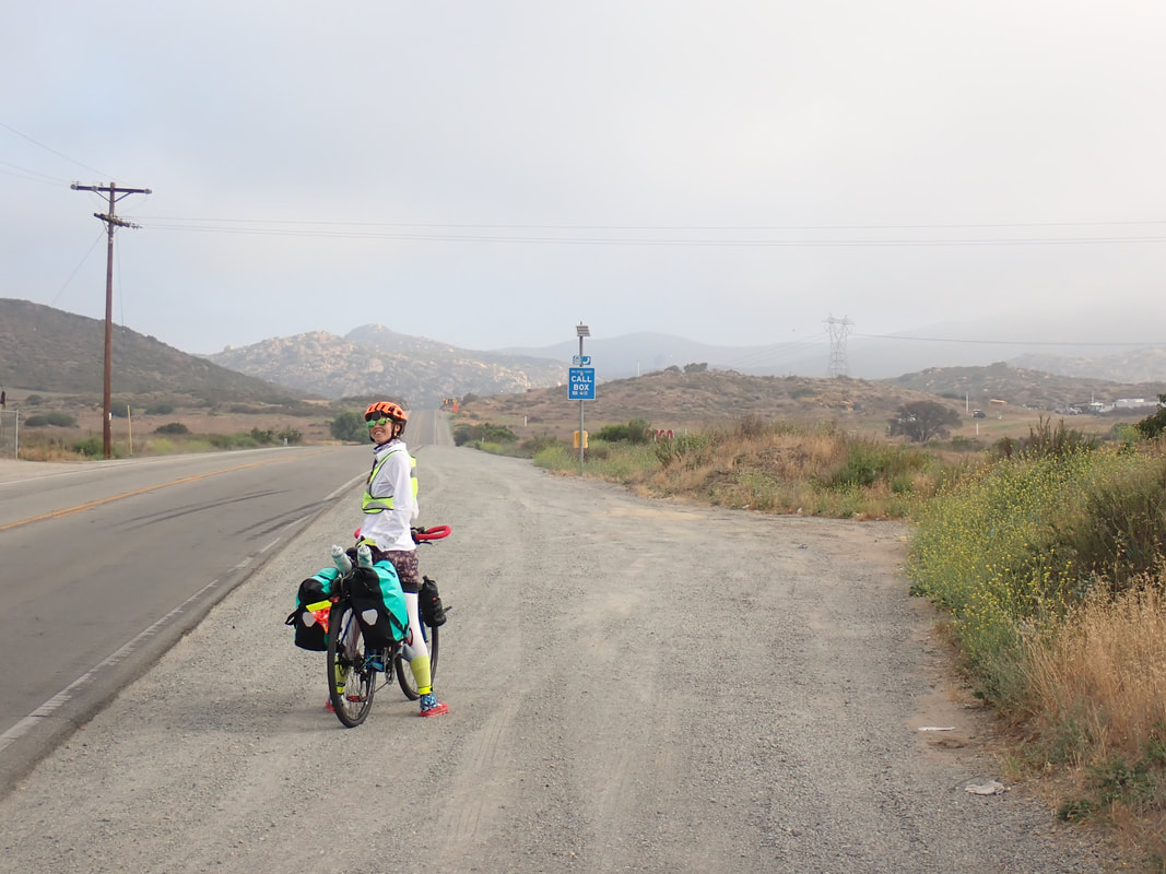
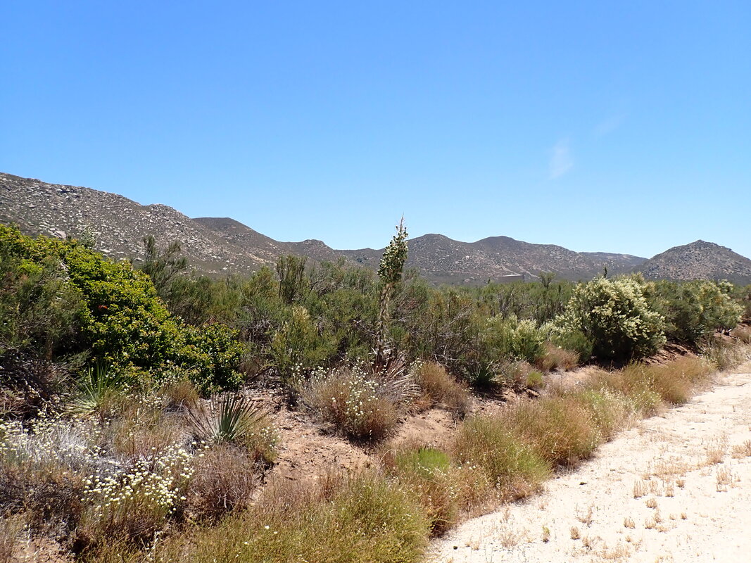
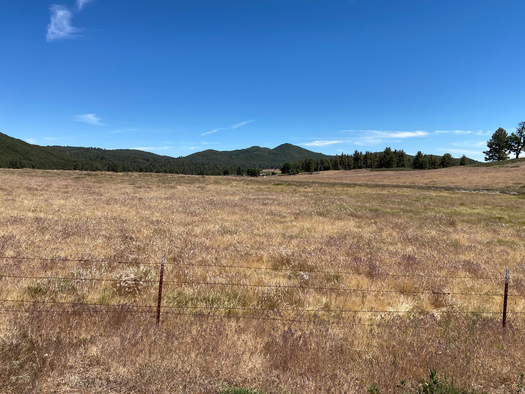
 Sprawling desert grasslands puckered away as a short climb carried us onto a ridge overlooking valleys below. To our west, the marine layer and coastal foliage predominated with pines and greenery. To our east, the rain shadow dried the lee. The downhill gave us big miles that carried us straight into downtown Julian, CA. I had never been here and knew little. We were immediately blown away by the restaurants, outdoor scene, and local vibe. My mom told me later that my Uncle John considered Julian one of his favorite places in the world. Janna and I had covered so much ground by mid-morning with that downhill that we felt it safe to grab some breakfast and take a break. We ate at the Julian Café and Bakery which is where we learned that Julian is famous for pies. Janna, ever a pie-lover, had her eyes light up. After breakfast, we made our way to a small grocery for some resupplies, and then pushed on to descend down to San Ysabel. An old Spanish Mission sat by the road amidst the grasslands and live oaks. A turn in the road brought us by the famous Julian Pie Company. We stopped to grab several slices of pie which we ate in the parking lot next to our bikes in the shade of some trees. Satiated with baked goods, we decided to really get some miles covered through the upcoming exposed high desert grasslands. The highway to Warner Springs was incredibly busy with vehicles coming and going. A highway to our rights led down to the desert floor of Anza-Borrego. We kept going straight as the sun cooked us overhead. Every live oak along the road brought needed shade for a few minute's rest. Eventually, the small town of Warner Springs (a famous PCT resupply) reared up on the other side of a massive basin. We crossed paths with a local walking along the road. We stopped to talk to him and he told us we were lucky to have excellent cool weather for this desert crossing. It felt hot, but I knew it was typically MUCH hotter this time of year. 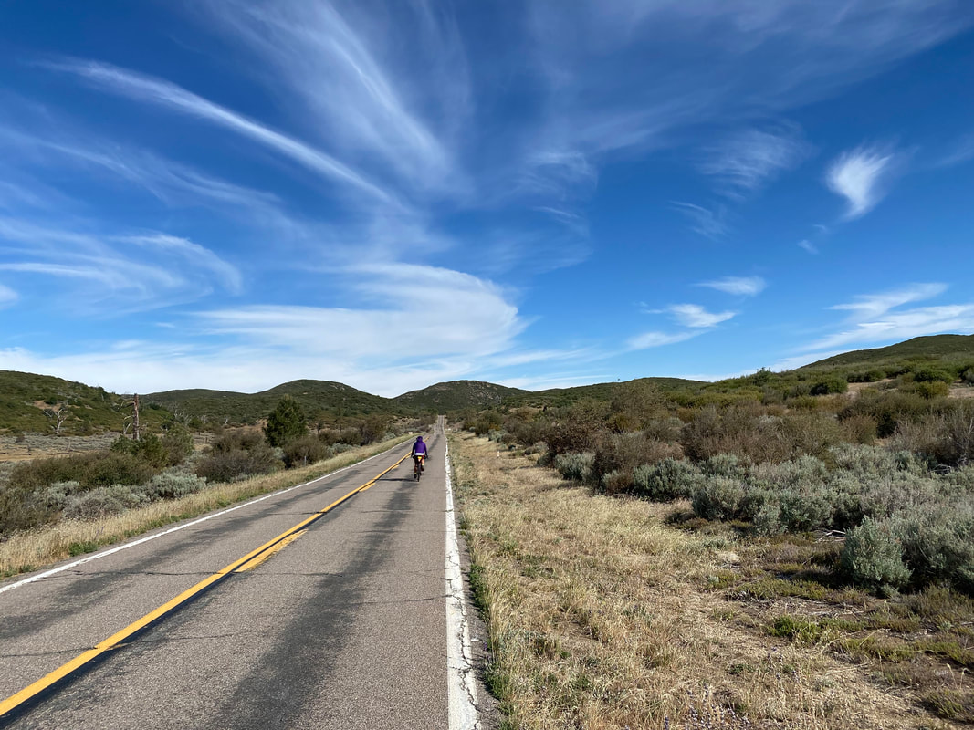 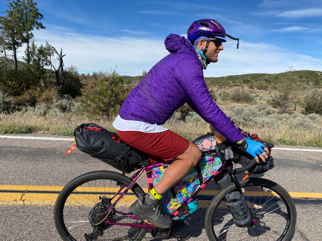
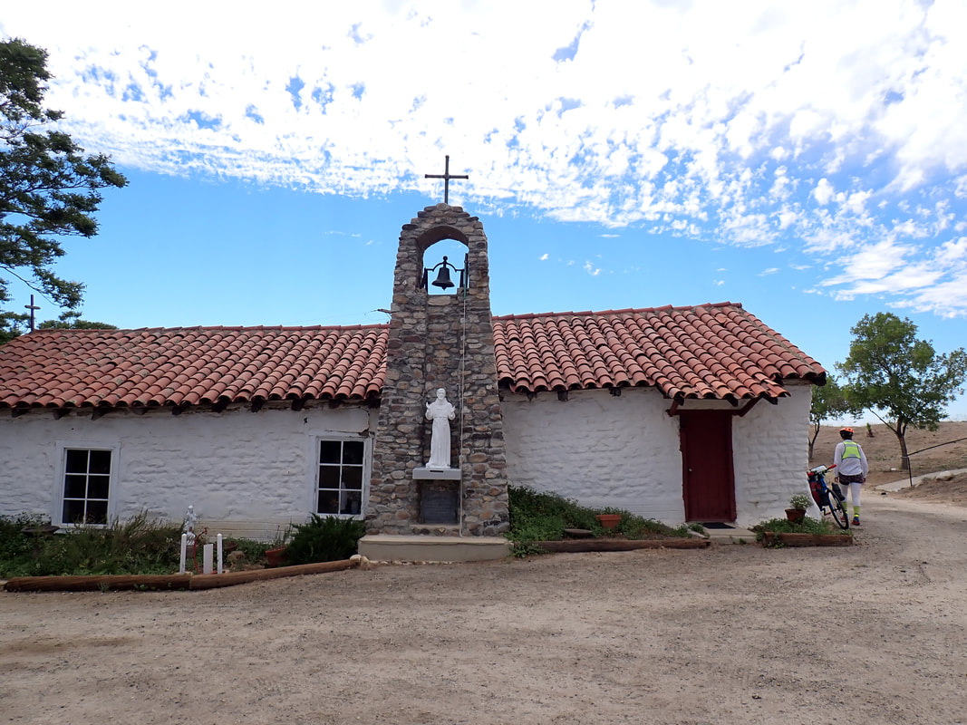
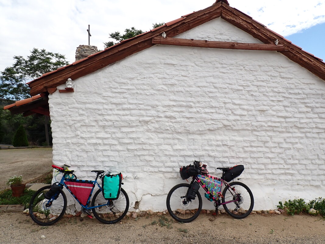
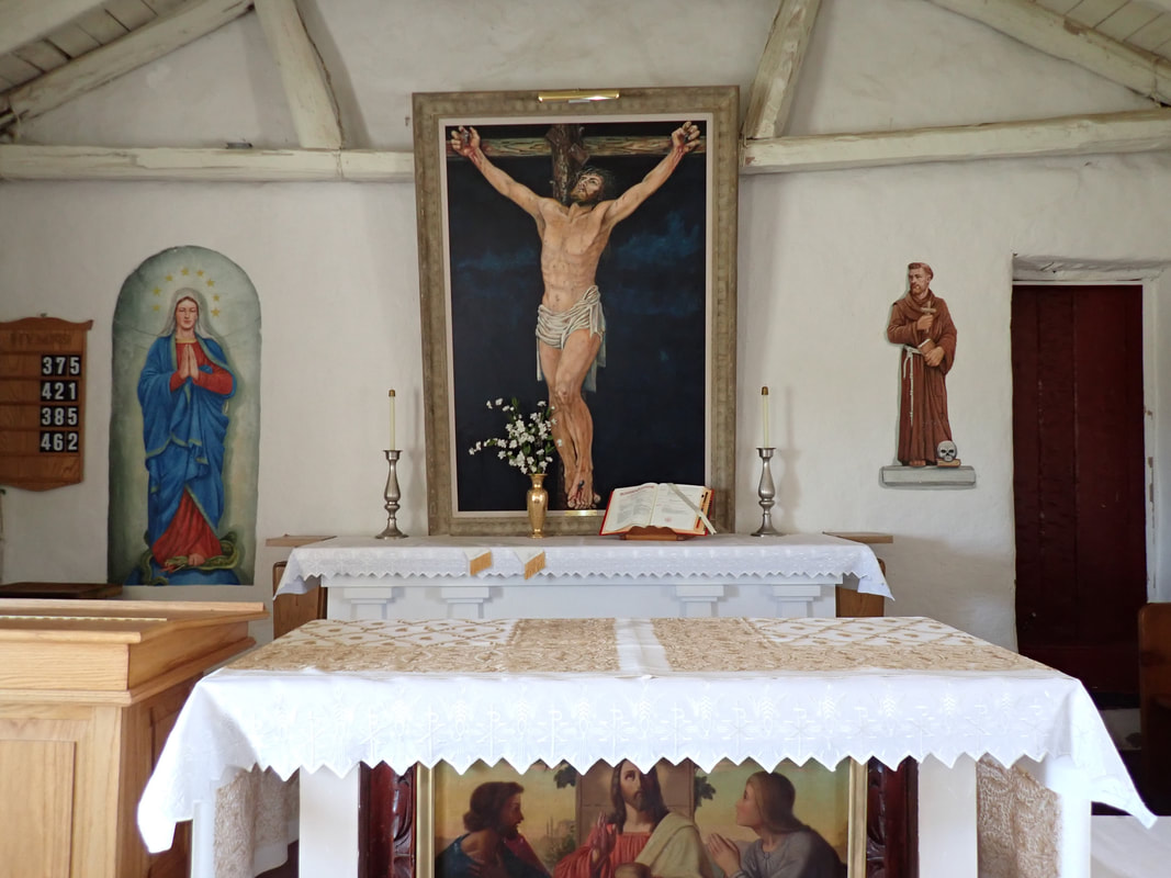
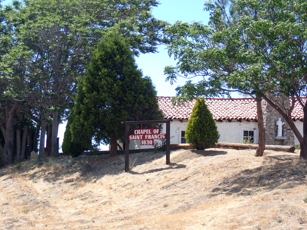
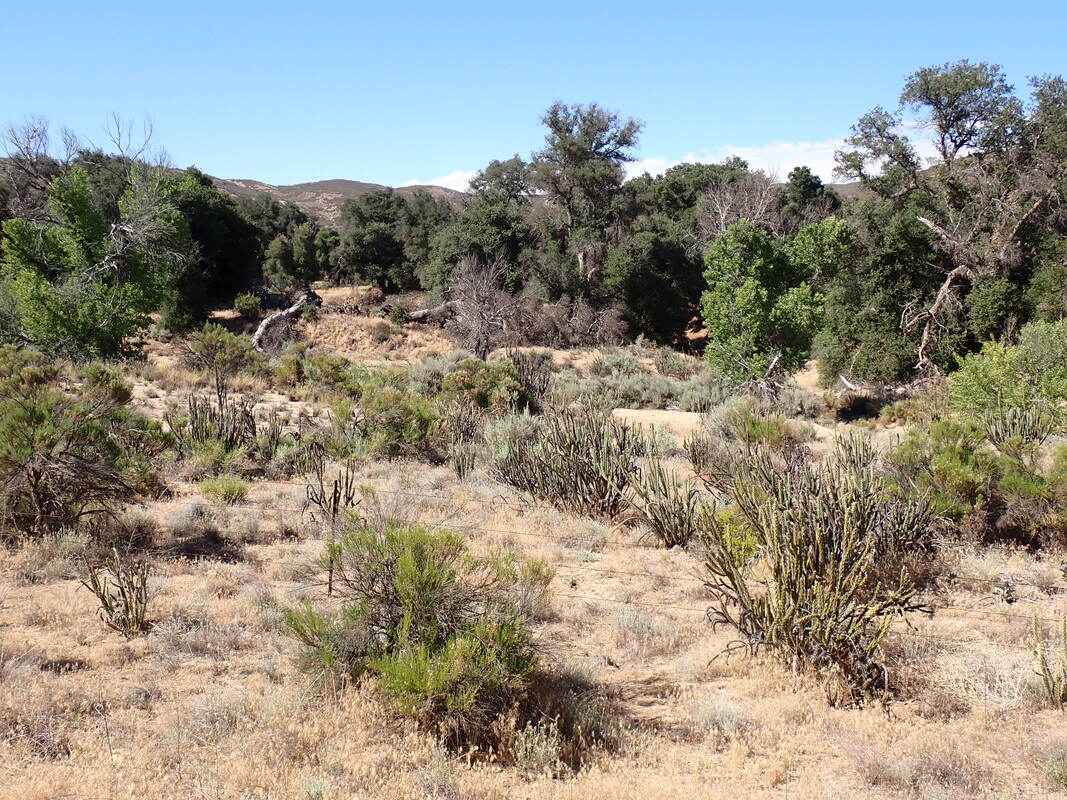
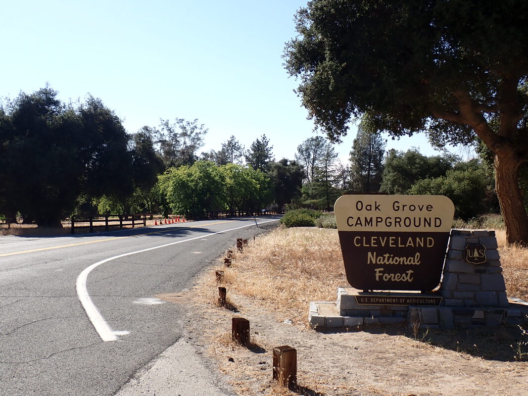
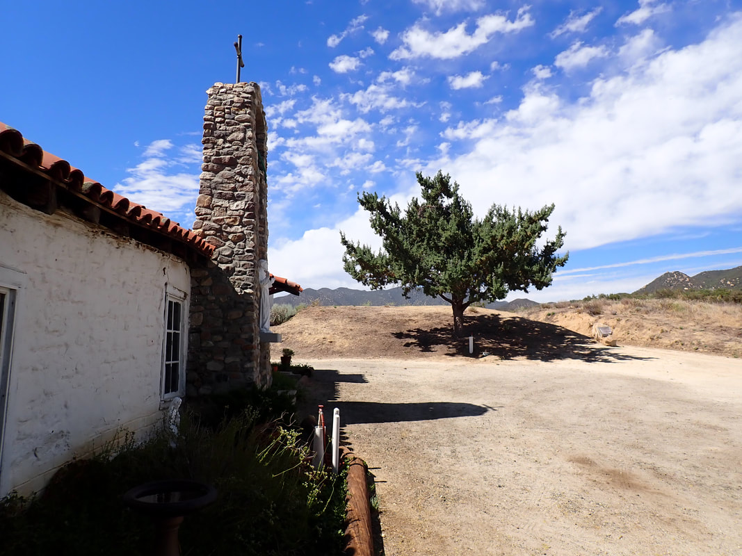
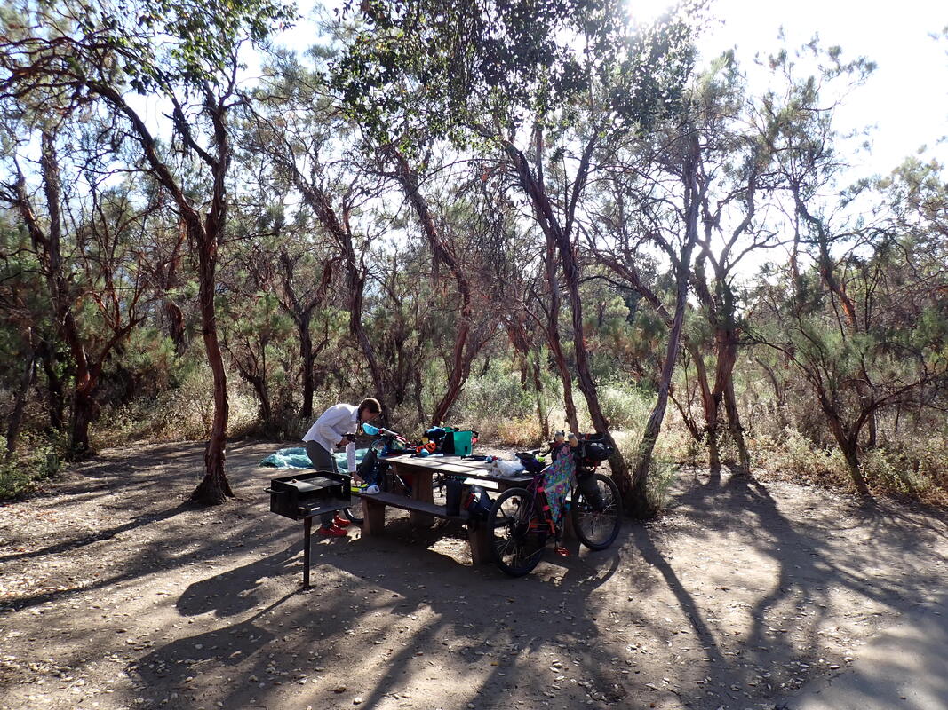
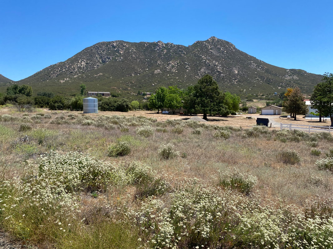
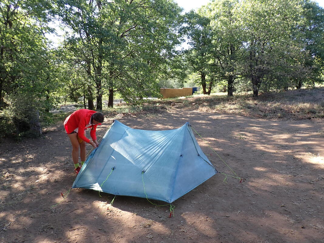
Upon entry to Warner Springs, I was hit by an uncontrollable urge to defecate. It uncoiled in my guts and ripped across my lower abdomen. I thought I was going to shit myself and felt waves of nausea wash over me. This was particularly unpleasant in the high heat of the day. We swung through town but everything was absolutely closed due to COVID still, including the gas station resupply locations. I began to panic trying to think about where I would find a restroom along this stretch of highway flanked by private land and ranches. I continued pedaling as it was the only thing to do, trying to master the urge to shit in my shorts. We rounded the corner and a historic mission, Chapel of St. Francis (built 1830), came up on our rights up a small dirt road on a hill. I pled with hope in my head that there would be a public restroom there. We parked the bikes behind the Spanish mission. I looked up the hill and saw a set of two stucco restrooms. I ran up, and behold, they were open. I went in and lost everything in my body on that toilet. Apparently, this restroom is left open for visitors and travelers as a goodwill gesture. I truly appreciated it. Emptied and finally relaxed from the heat, the relief I felt was instantaneous. I washed up and met Janna outside by a spigot to refill our water. The church was unoccupied, but open, so we stepped in to take a look at the active, but historic structure. It felt so cool and relaxing in there, that we stayed in the area for about an hour to enjoy shade and slowly drink water while eating snacks. Mid-afternoon came. We packed up our bikes and crossed more of the desert. Next to us, a giant private airfield did flights overhead where a pilot trailed a second plane behind it filled with paying guests wanting the thrill of "almost" flying a plane themselves. Desert hills rose around us as the road continued next to a dry wash lined with live oak and filling with cacti. A big mountain cut up to our lefts as we eventually arrived in later afternoon at Oak Grove Campground. The campground was mostly closed due to COVID, and camping was only allowed for those with a reservation beforehand. I had gotten one before leaving, which was a good call because the campground host checking us in tried to initially turn us away before I pulled out a printed receipt with our site. He said too many folks were trying to camp there (there had to be a hundred sites and we maybe say 10 campers). He quickly turned welcoming with our reservation in-hand and walked us around the grounds. The campground is famous for being nestled in a woodland of shagbarks and canyon live oaks. Early summer evenings arrive late. We ate dinner at our picnic table beneath the live oaks and ribbonwood while the marine layer slowly crept up the valley and began to cover Mt. Palomar, the large mountain across from the campground. The temperatures quickly cooled. We ate tortillas with bean dip, home fries carried out from our breakfast in Julian, and cheesy Fritos for dinner. After, we walked through the campground and then crossed the highway over to a small trail near a hotshot crew site. It was getting cooler than comfortable, and the threat of rain seemed imminent, so we headed back to our site and climbed into the Triplex for the night. 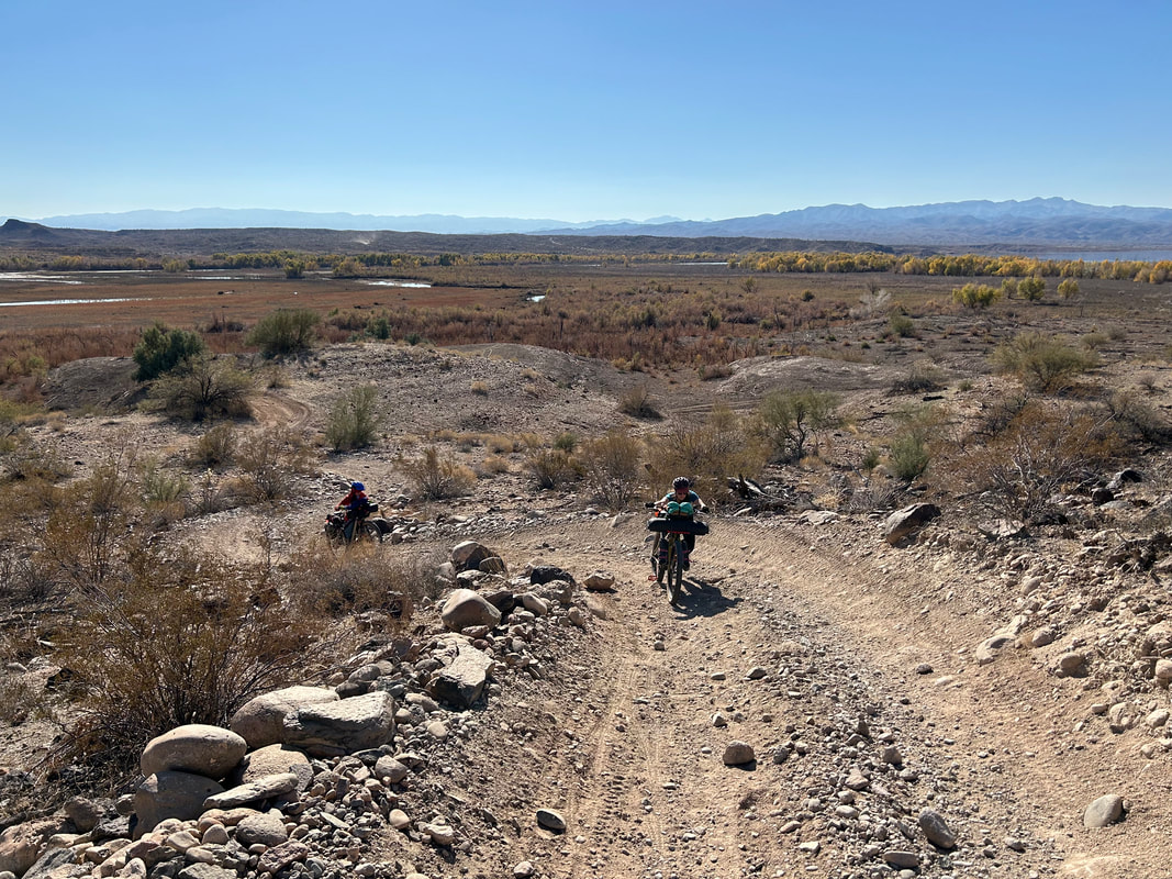 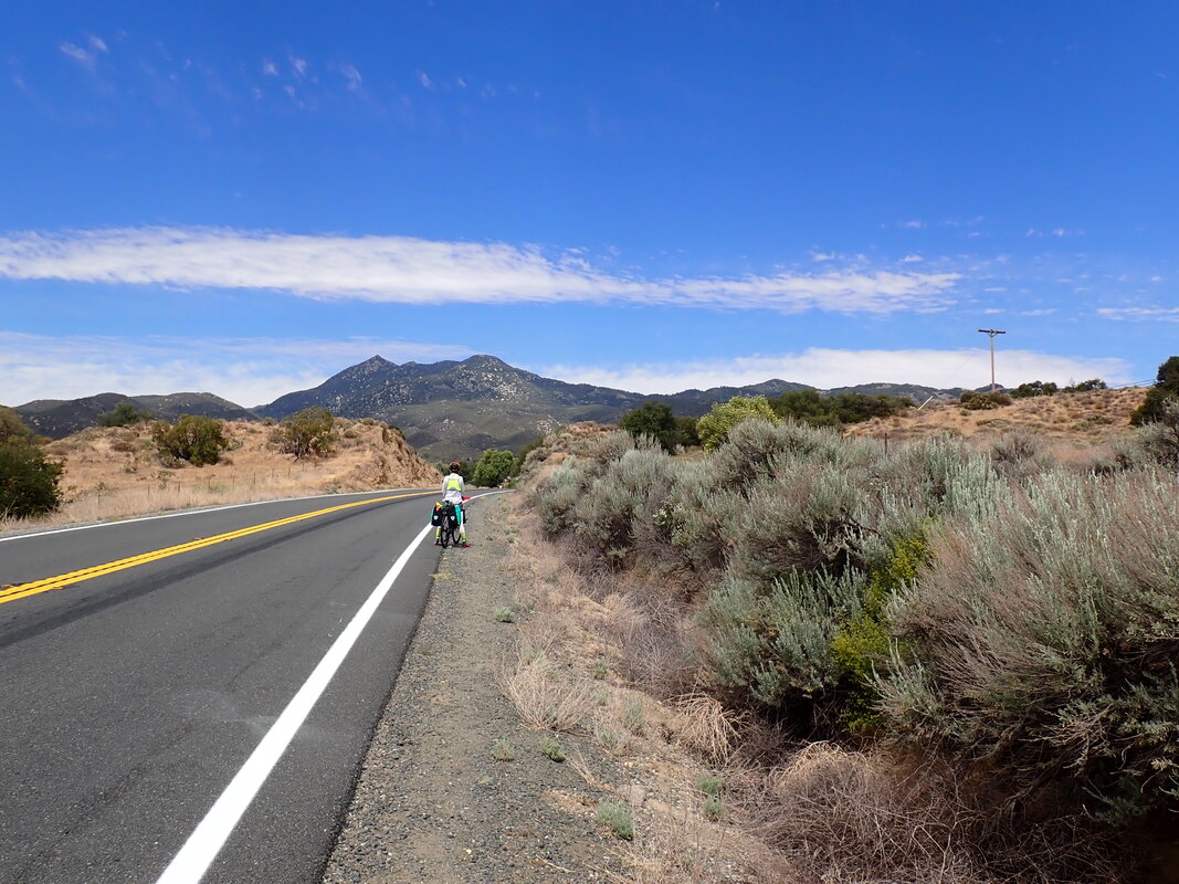
0 Comments
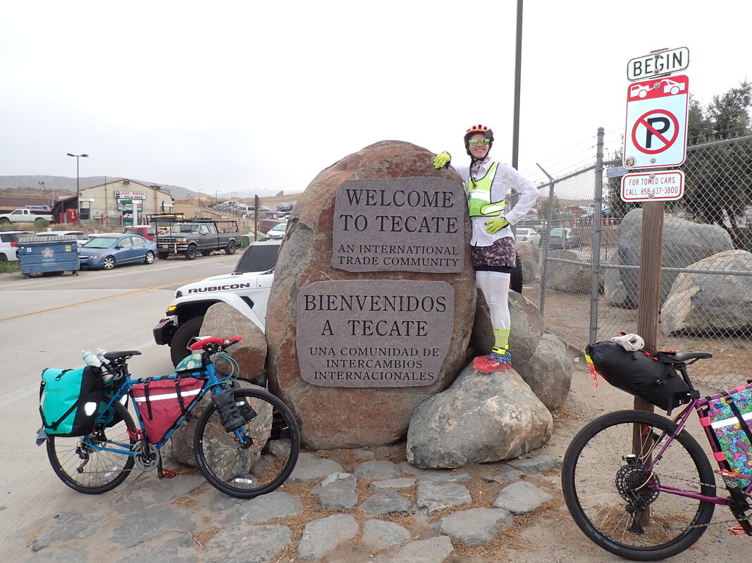
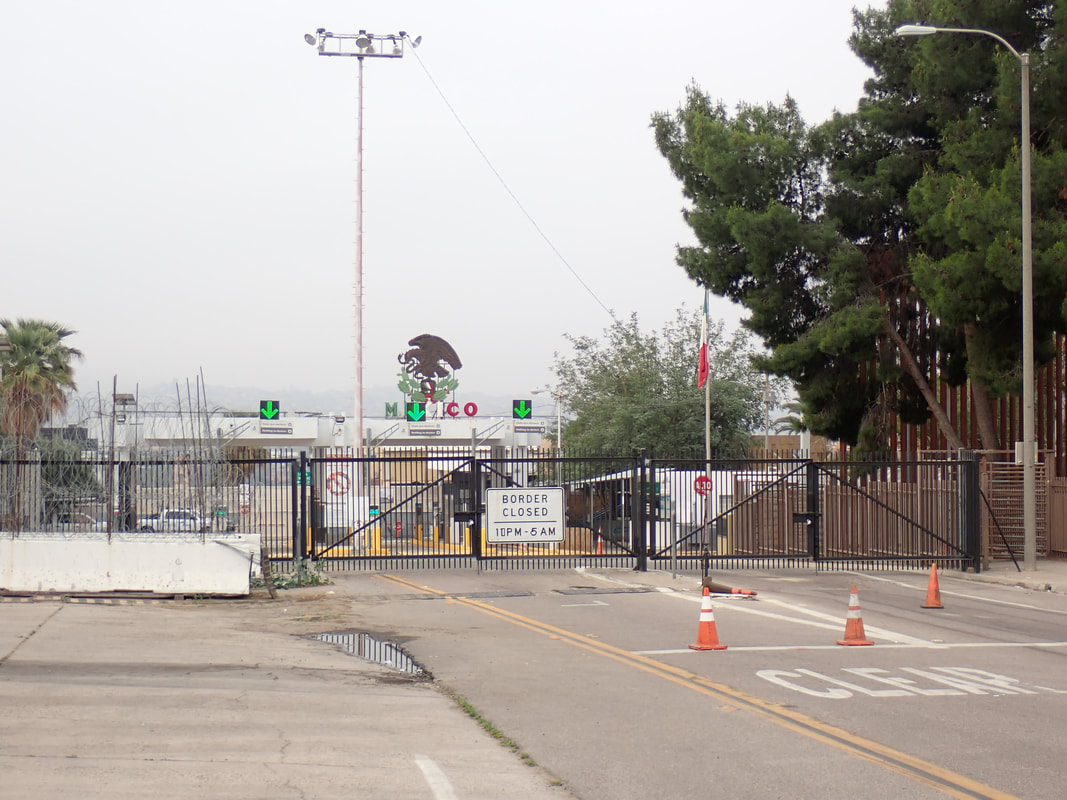
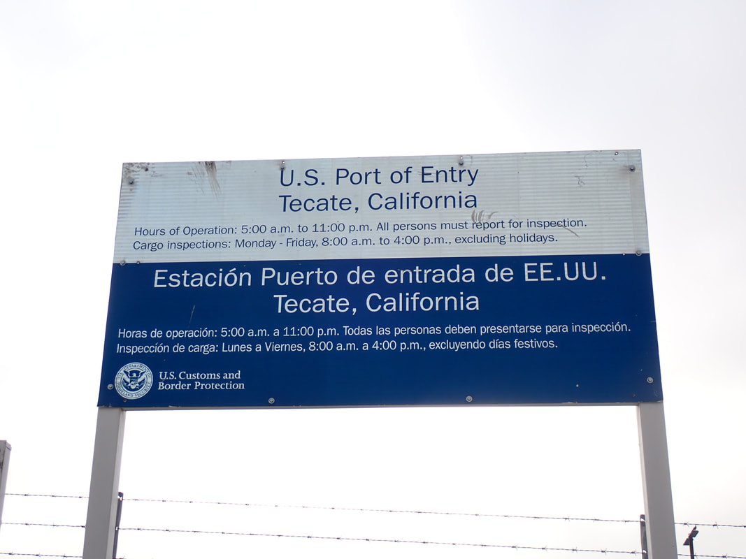
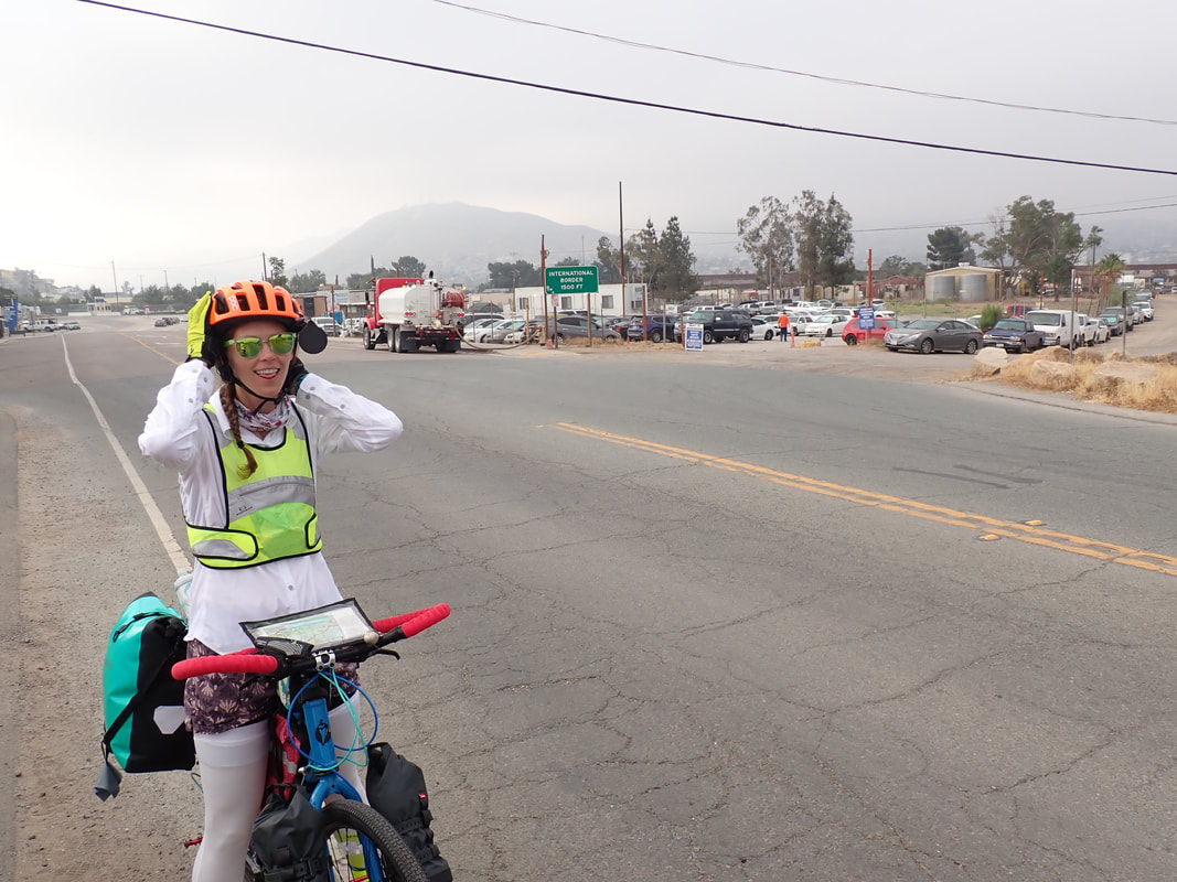
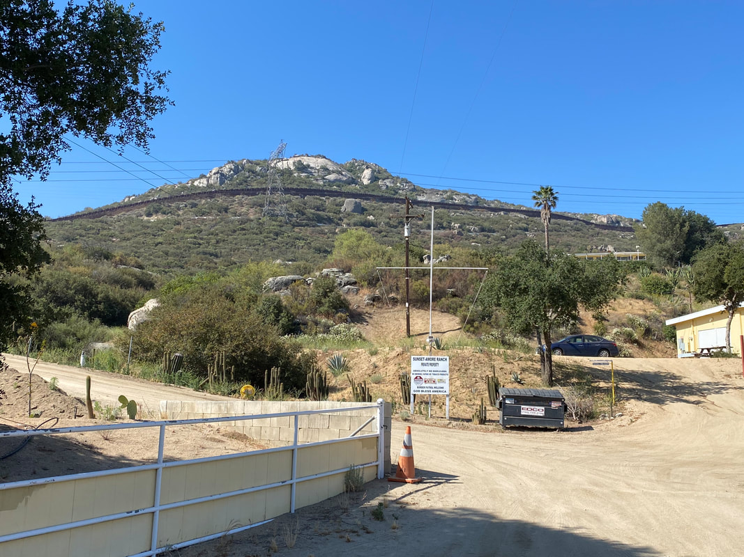
39.12 Miles; 5,480 Feet of Gain; Tecate, US/MX Border to Mt. Laguna, CA 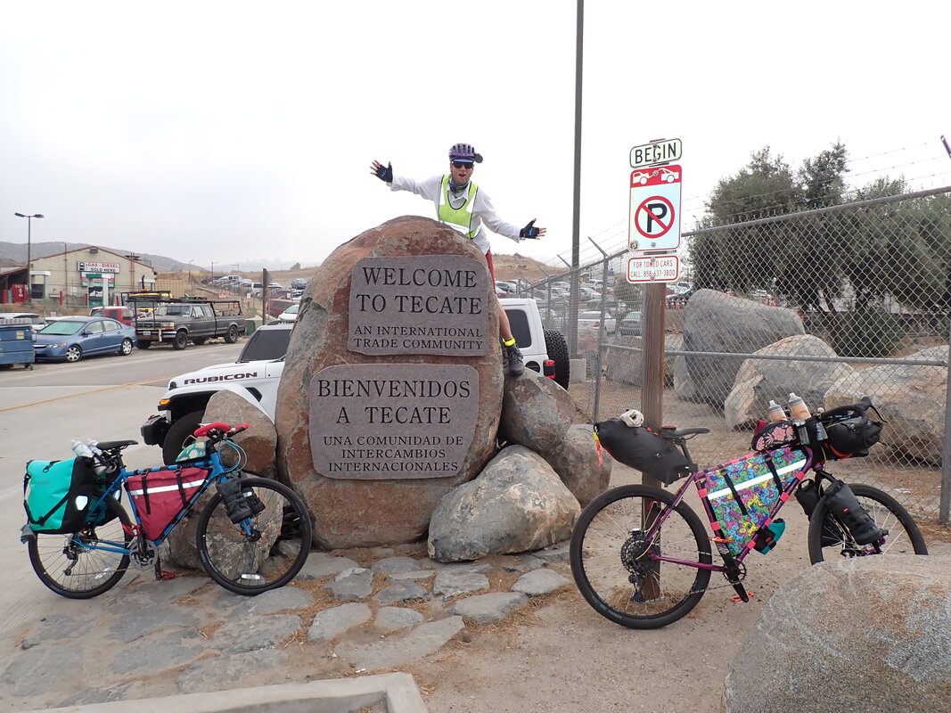 The four of us slept hard given the recent end of the school year. We woke up early and got going in the car by 5 am. Matt and Colleen were driving our vehicle since we had the bike rack on the back with all of our gear. We skirted the streets of El Cajon out towards the rural countryside and into the rocky interior of the Cleveland National Forest. Ranchlands and farms dotted mountainsides amid the chapparal and shrouded mist of marine layer permeating the inland. I stared out the windows as early dawn crept color into the landscape. The rocks and shrouded misty peaks thrilled me that soon I'd be riding and traversing this terrain. Matt and Colleen on the other hand kept musing what it would be like to do what we were doing; but rather than envy, I caught glimpses of disbelief. We turned down a side-road and arrived at the border town of Tecate, Mexico. The prevalent fog made the temperatures unexpectedly cool for this desertscape in early June. I was prepared for stifling foresummer heat; I was pleased by the marine layer coating the atmosphere to a ripe chill requiring a wind jacket. We pulled the car up to just before the International Border port/fence and pulled into a side parking lot and strip mall. A number of borderland businesses had popped up offering insurance, food, and currency exchange. Even a small public school district was adjacent to the border fence. Janna and I jumped out of the vehicle and immediately got to work packing the bikes. We had a big day of climbing ahead of us, and we wanted to gain elevation up Mt. Laguna before Sun burned away mist and subsequently baked the land. A line of cars lined up expectedly at the border gates, waiting for the international crossing to open for the day. After about 40 minutes, we were loaded and ready to ride. Matt and Colleen took a photo of us before they got back in the car and started driving away, looking back and wondering how we were going to bike what we planned to bike before us. The two of us rode down to the Border Fence, as close to the port as possible where a handful of cars rolled down windows and asked us which way we intended to ride. Some shouts of encouragement were thrown at us as we took more photos in front of a stack of rocks with a plaque marking the location as an International Trading Community. And just like that, we turned our bike noses north and pedaled away from Tecate and into the beginning of the Sierra Cascades. 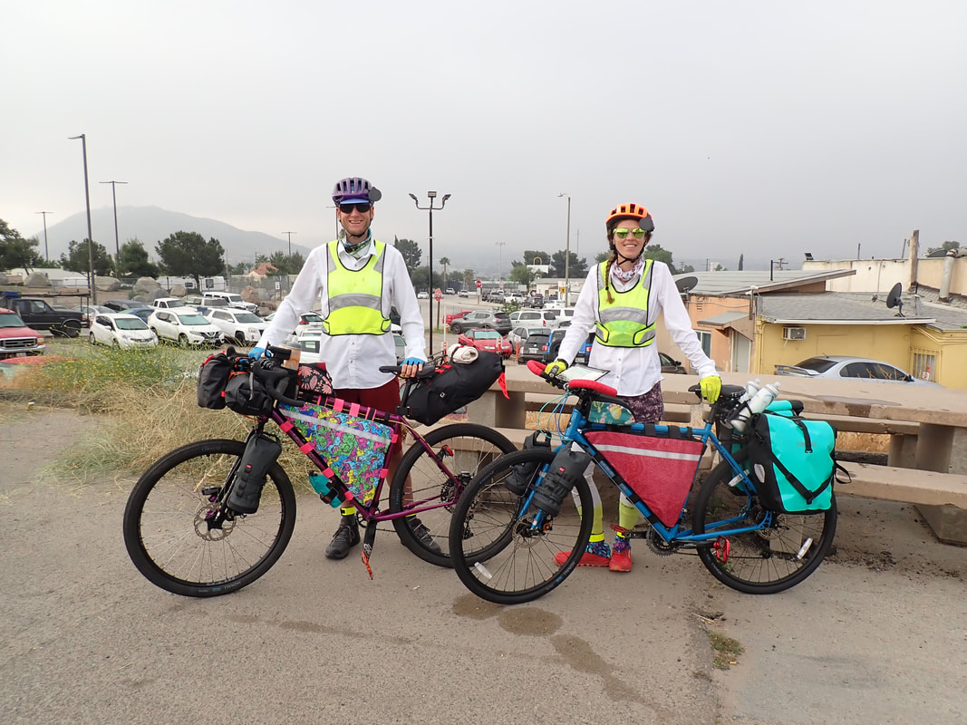
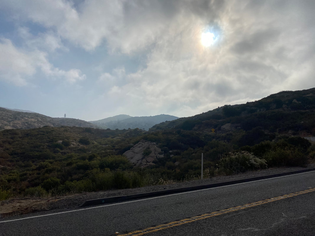
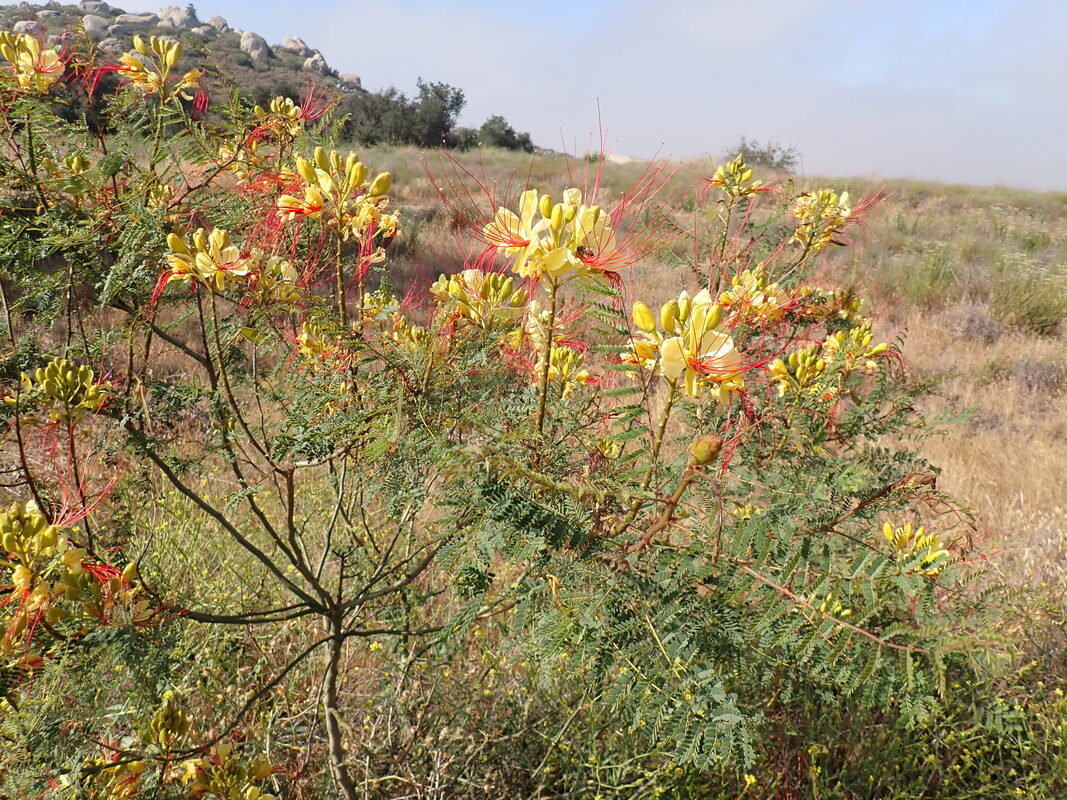
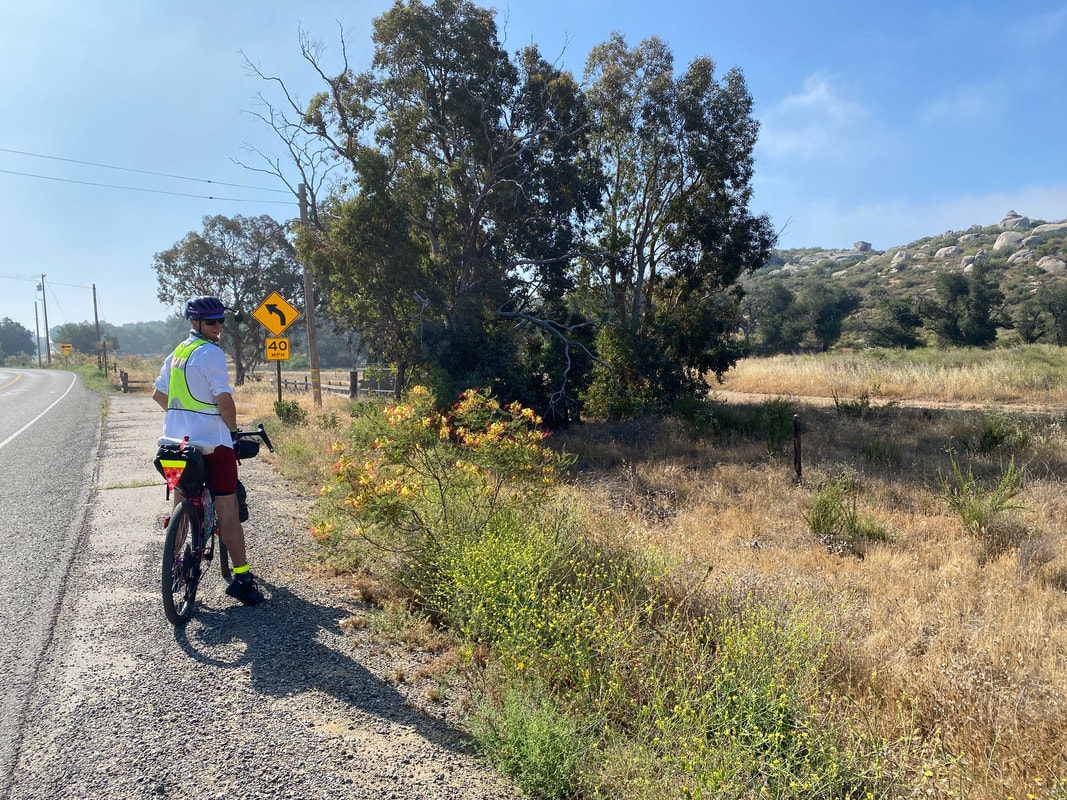
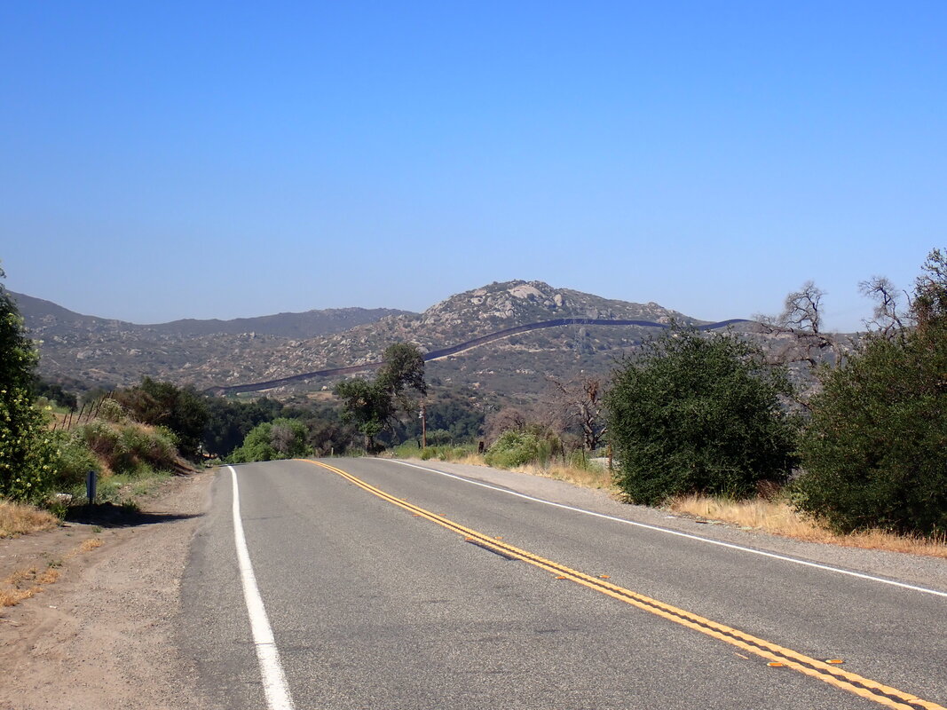
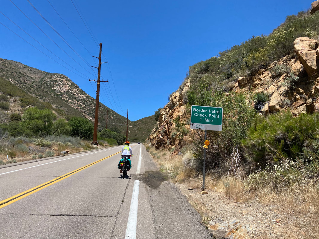
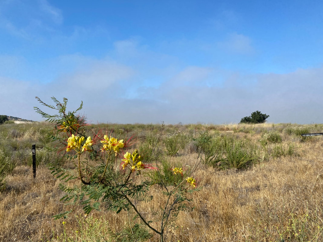
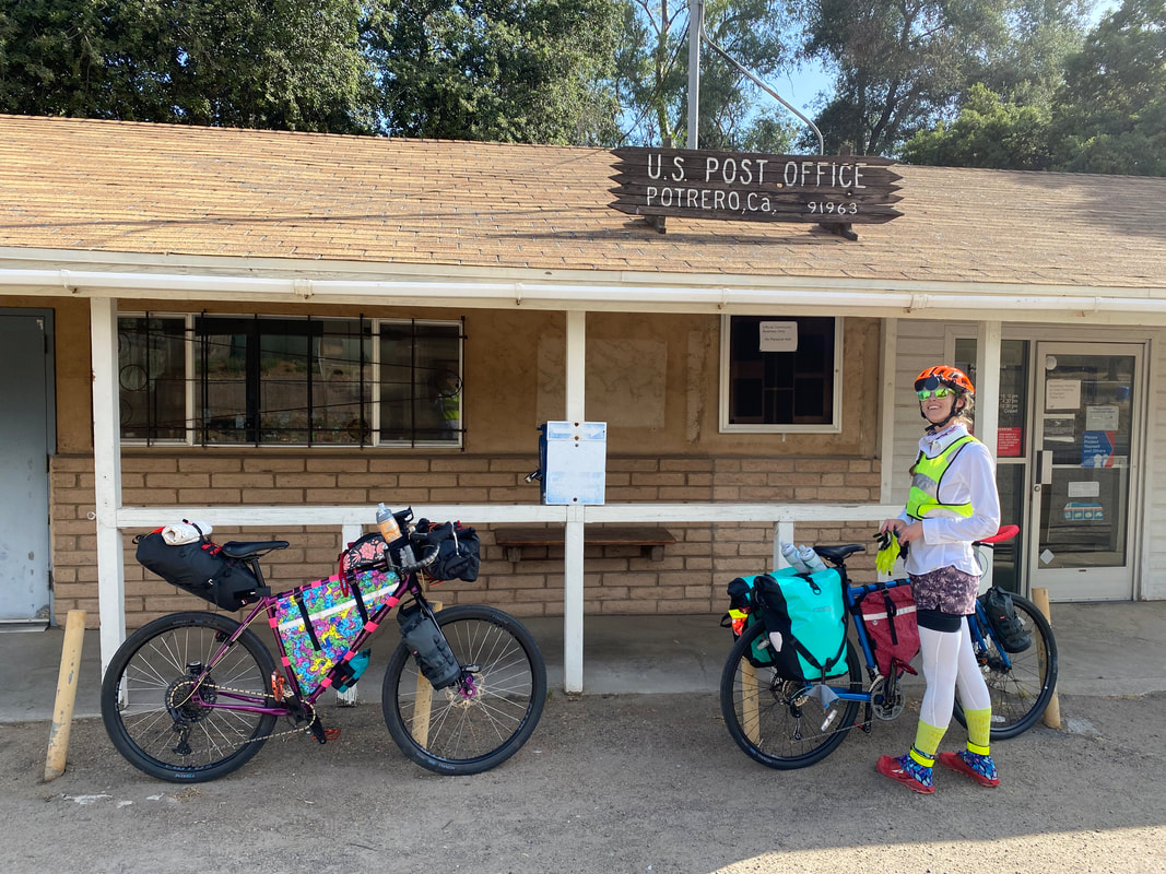
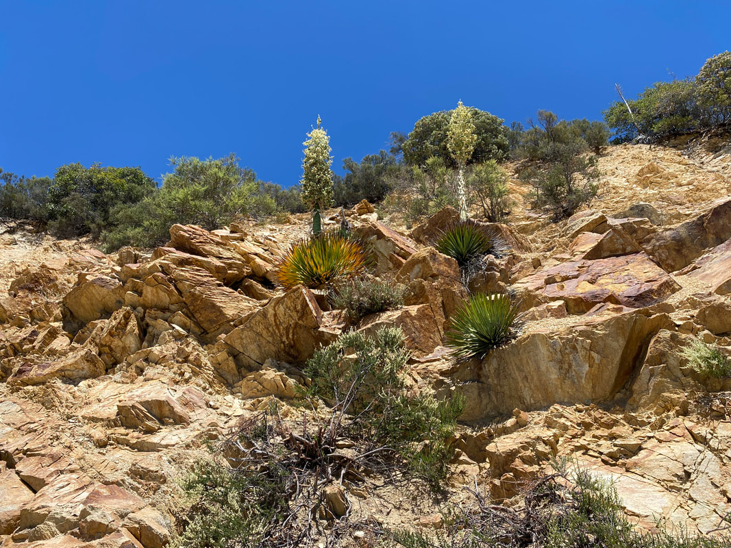
  We started pedaling slowly to avoid injury and not overwork ourselves. I kept stopping my bike to take tones of photos of the lolling mists rolling over the jumbled rocks of the land. High-desert grasslands peppered with yucca punctuated the stonescape as rurality rose up from urbanity. Janna and I turned onto the main highway tracing an east-west bisect of the mountains as shoulder drifted away to very little. Little did we know that is lack of shoulder and persistent riding of heavy-use highways would come to be the stressful norm along the Sierra Cascades route. The road ahead twisted and turned through the mountains, ever taking us up. By mid-morning, we arrived in the small town of Potrero, CA. We stopped to eat snacks outside a post office under a tree. The blue sky was started to emerge from the marine layer and the promise of hot temperatures could be felt. As we were eating, an unstable and aggressive man emerged from the shadows of the building. I said "Good Morning!" to which he walked up to me and began cursing. That encounter encouraged us to get going pronto. All morning we rode west-to-east only a hundred feet or so away from the border wall. The climbs continued up and down the chapparal-coated hills as mist slowly faded into full sunlight. We stopped several times to take pictures of flowers growing copiously in the early summer along the road. We passed several ranches and Border Patrol spots. Janna biked out ahead of me while I slowed back. My knee had been bothering me in the few weeks up to the trip; that, plus my recent bone contusions in my other leg meant I needed to go slow and steady to nurse my performance over the course of the trip. The border wall rose next to me on an adjoining hill when suddenly a gray SUV came roaring downhill along a dirt road perpendicular to the highway. It joined the highway right behind me, hit the pavement away from the border wall, and immediately gunned it so fast that it buzzed me at what had to been nearly 100 mph. I screamed and pulled my bike over to the dirt side of the highway. The SUV swerved across both lanes of highway, passed me, and continued at the same illegal pace up the road. Knowing Janna was ahead, I pedaled hard to catch up and check on her safety. Not four minutes later, an unmarked white SUV came flying down the road behind me. It passed me, threw on the brakes with a loud roaring screech. Then, the car quickly backed up to where I was riding. I stopped, wary of what encounter would happen. It turned out to be an unmarked Border Patrol agent vehicle. The offer rolled down the window and quickly asked me if I had just seen a vehicle come off the hill next to the wall. I affirmed seeing an SUV and said it was flying. She quickly asked for the appearance of the vehicle and the direction it went. The conversation was over in 30 seconds and the Border Patrol agent went flying off in the same direction to chase down the car. I was a bit stunned and caught up to Janna shortly thereafter to relay the series of events. 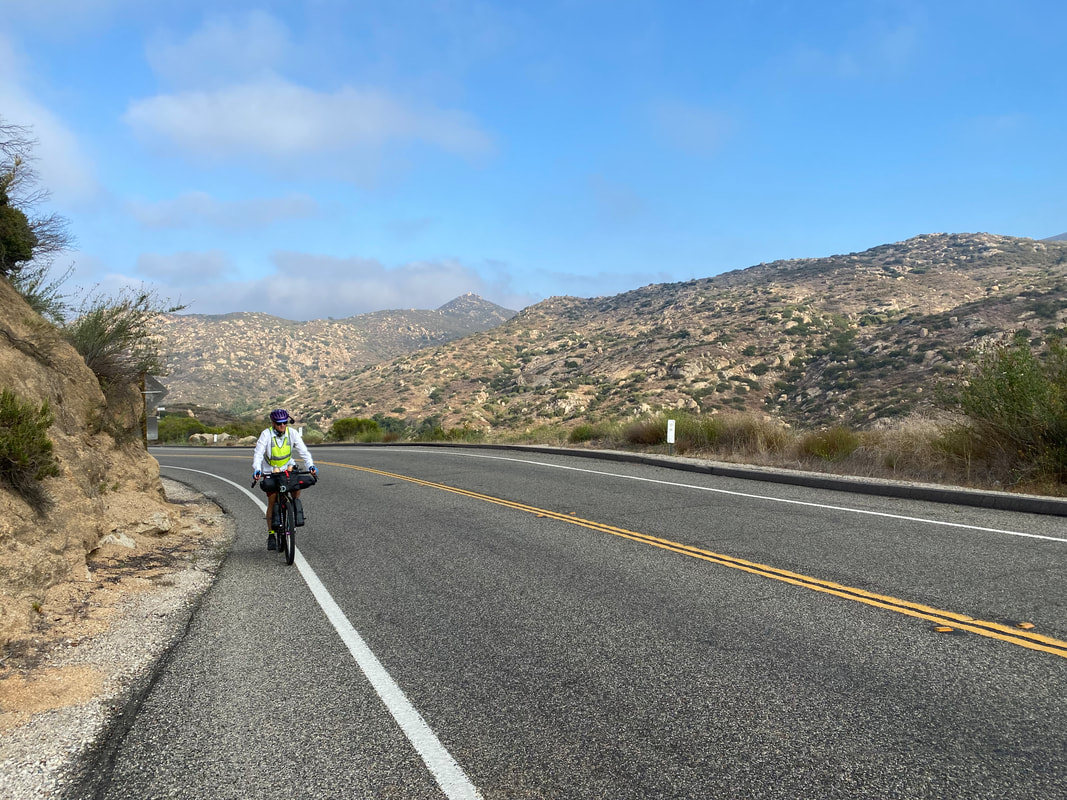 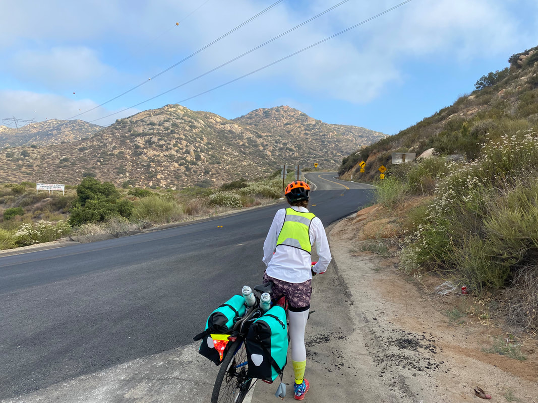
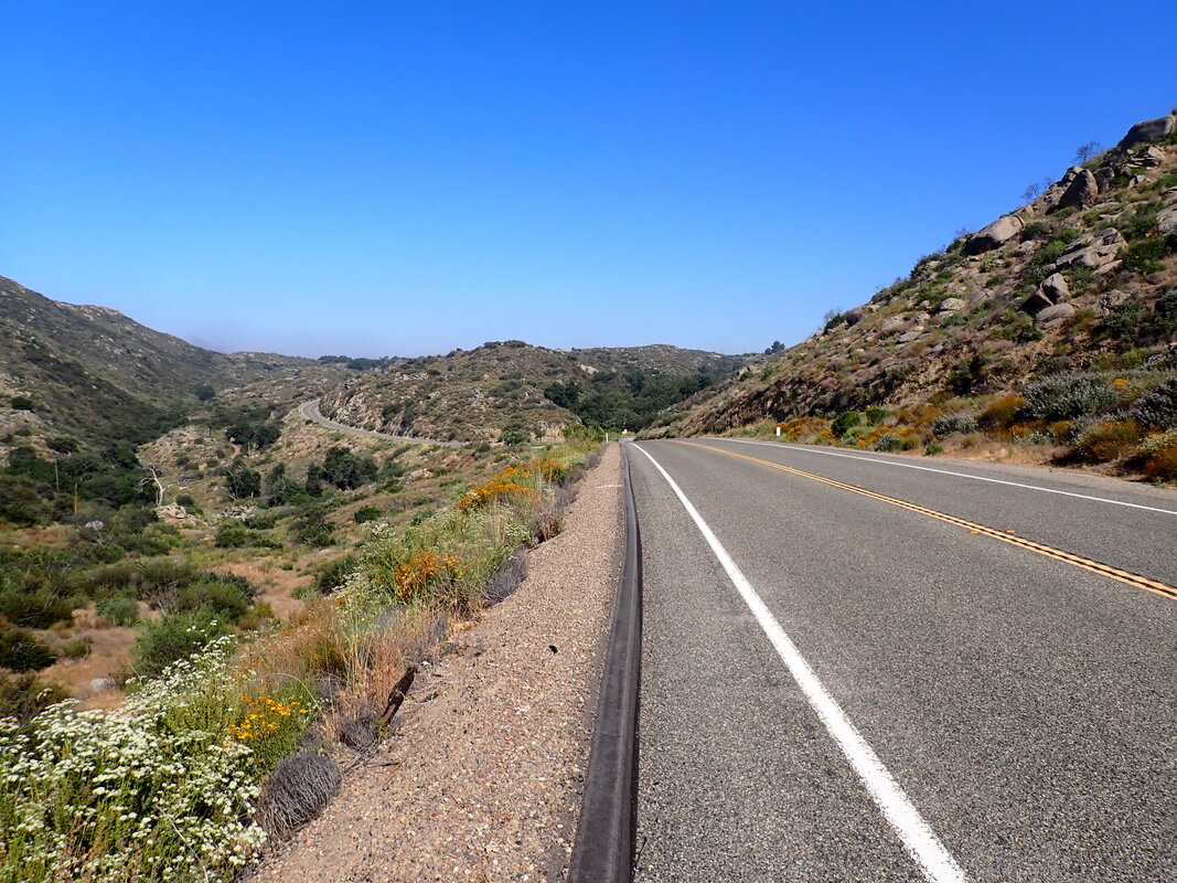
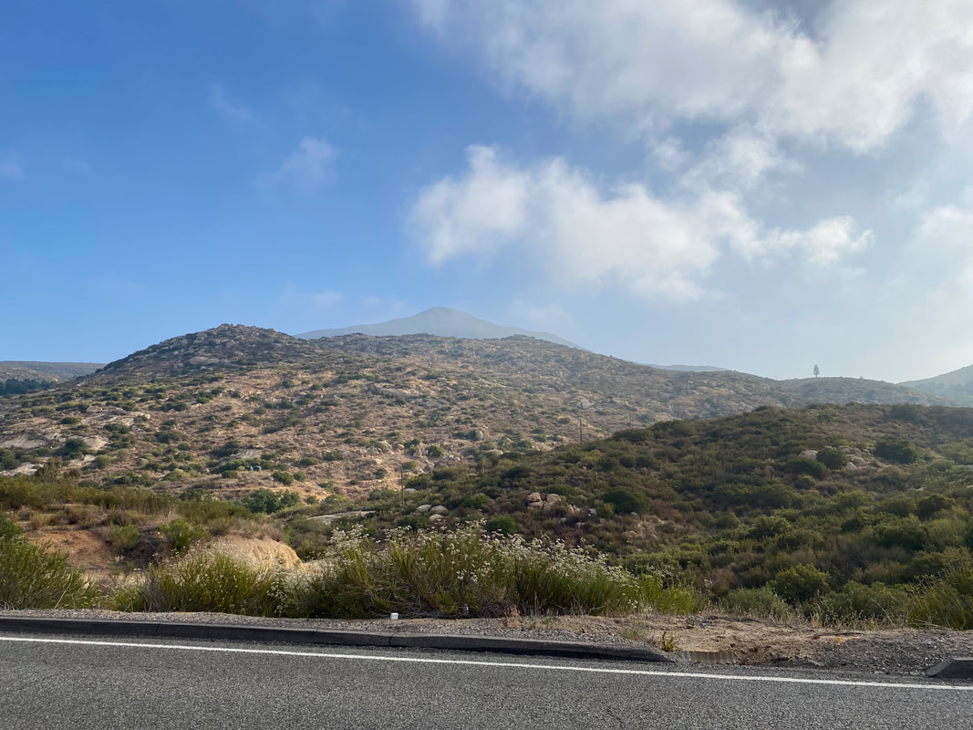
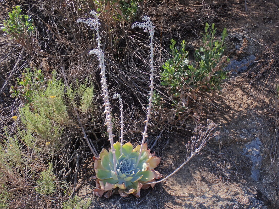
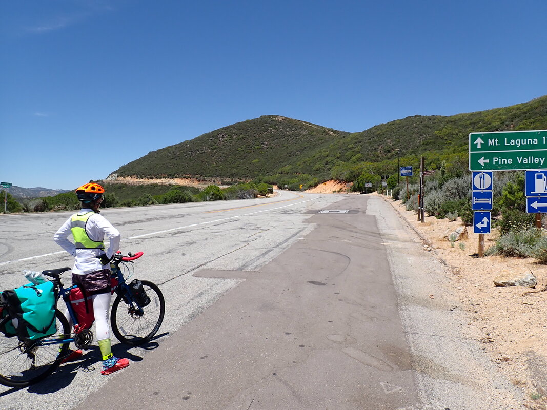
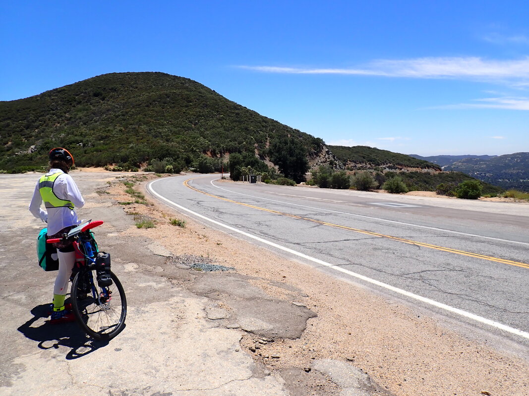
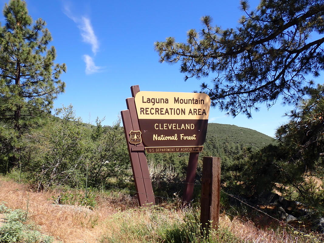
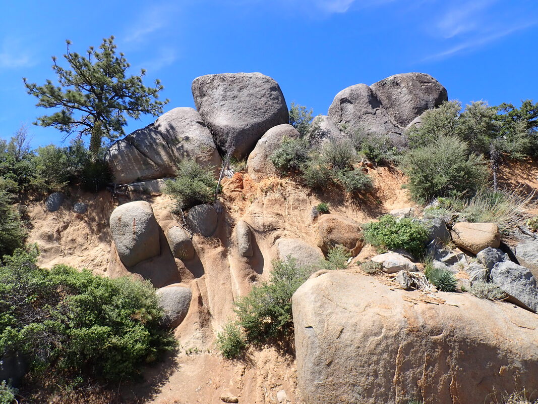
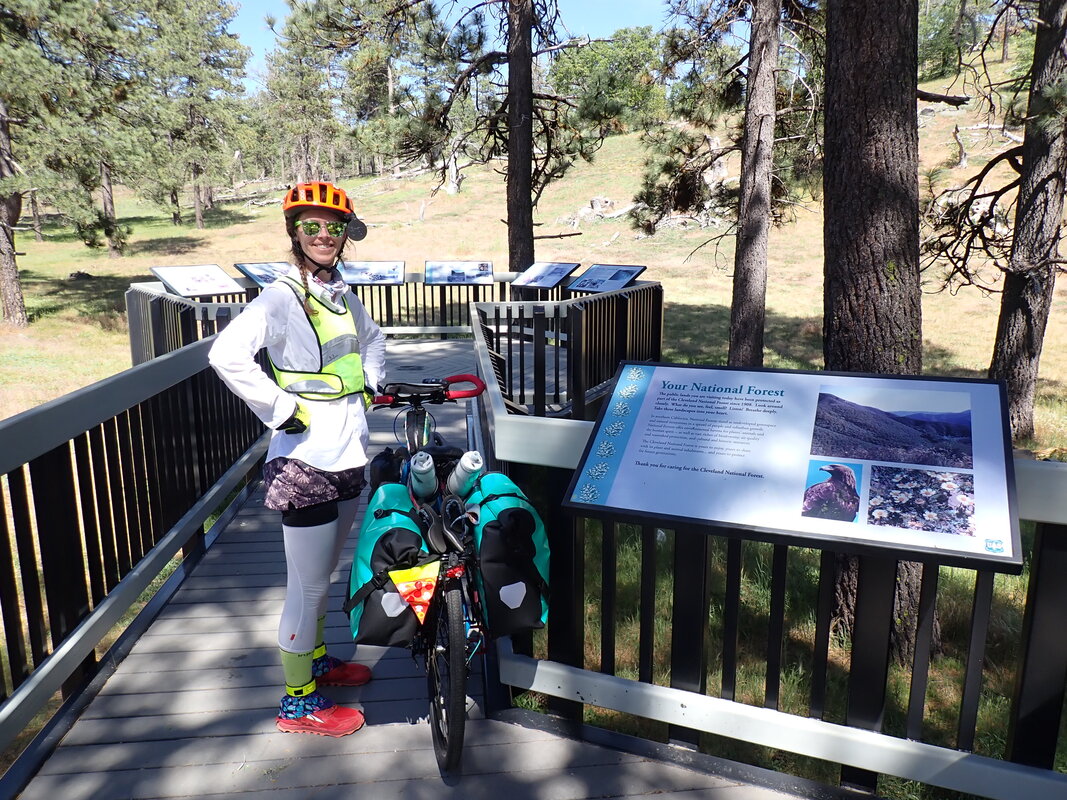
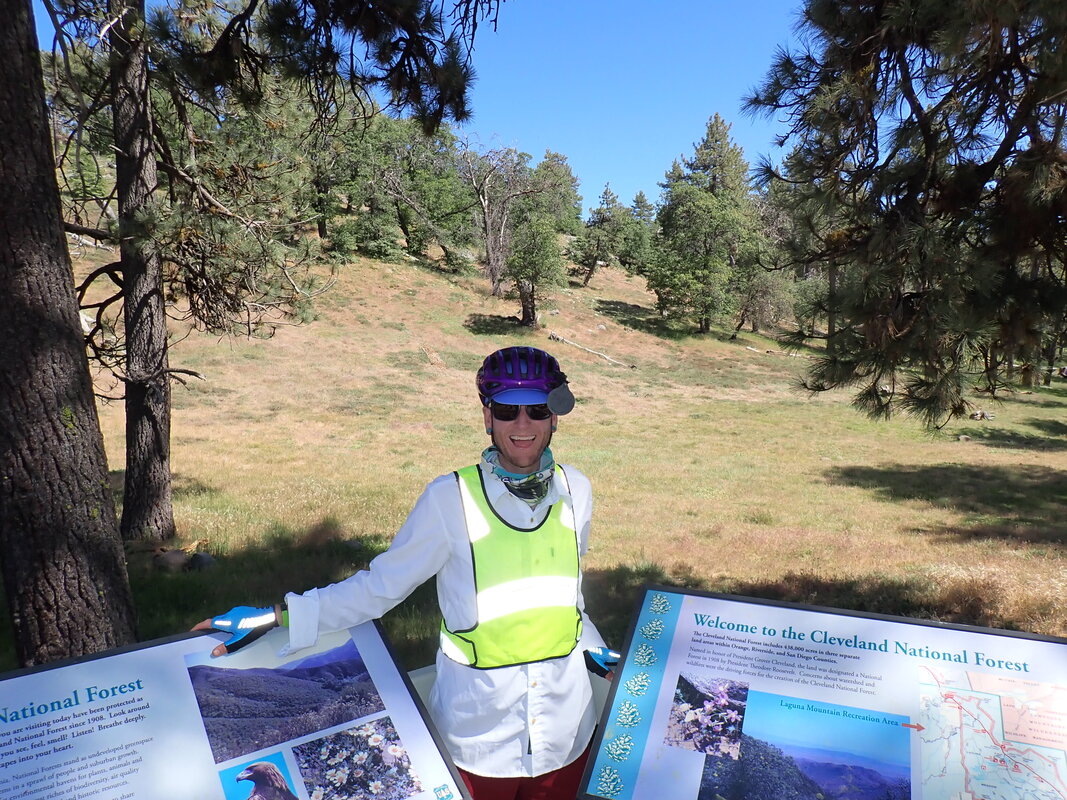
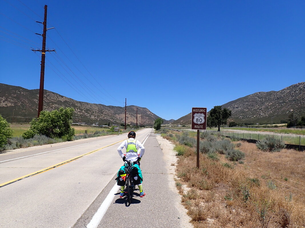
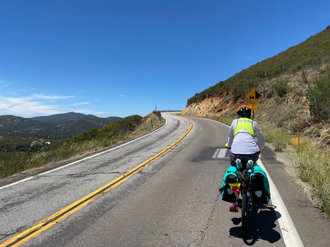
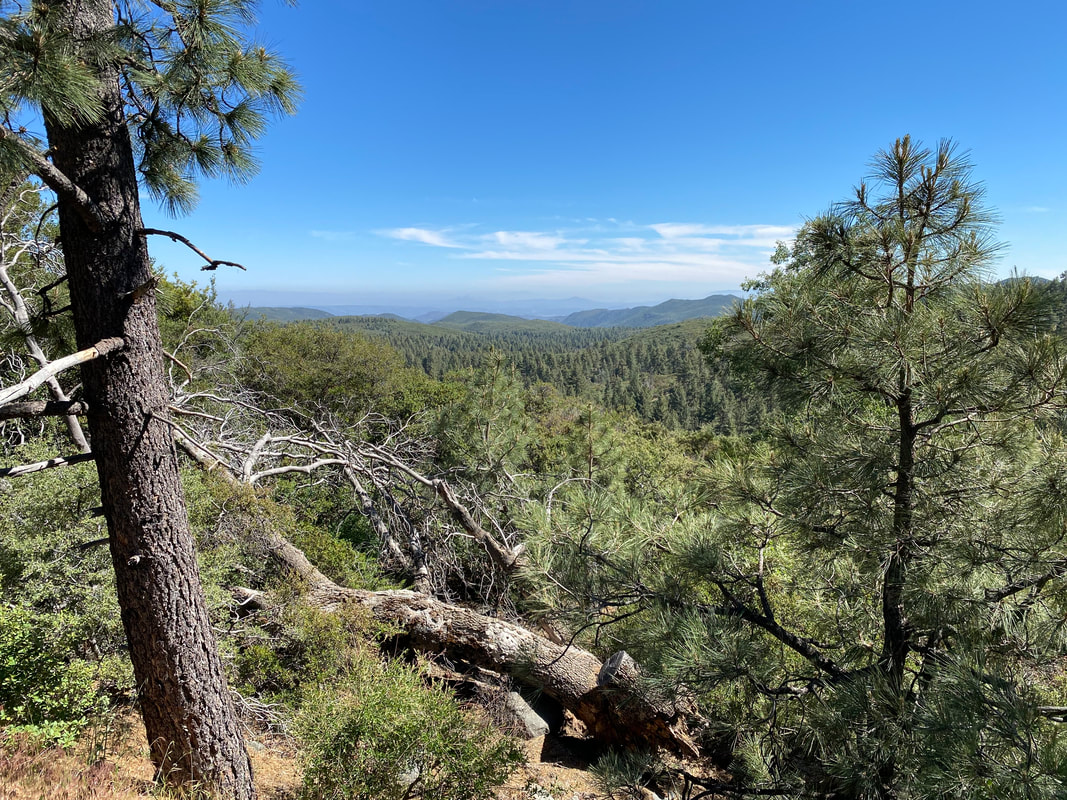
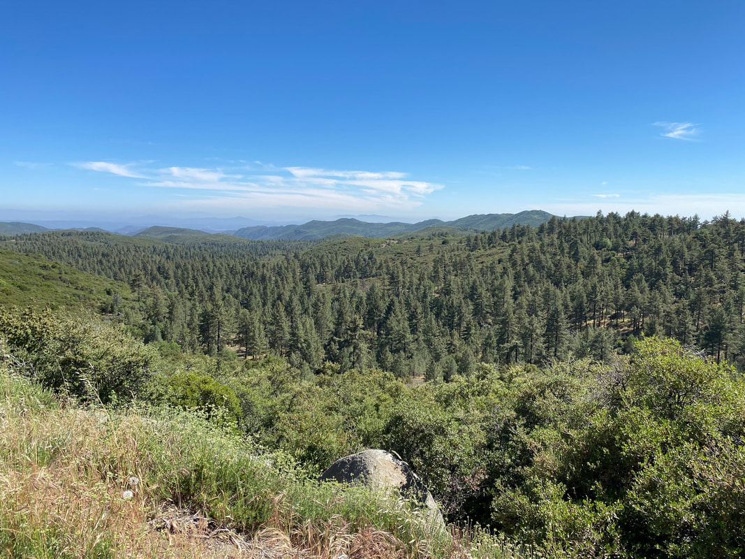
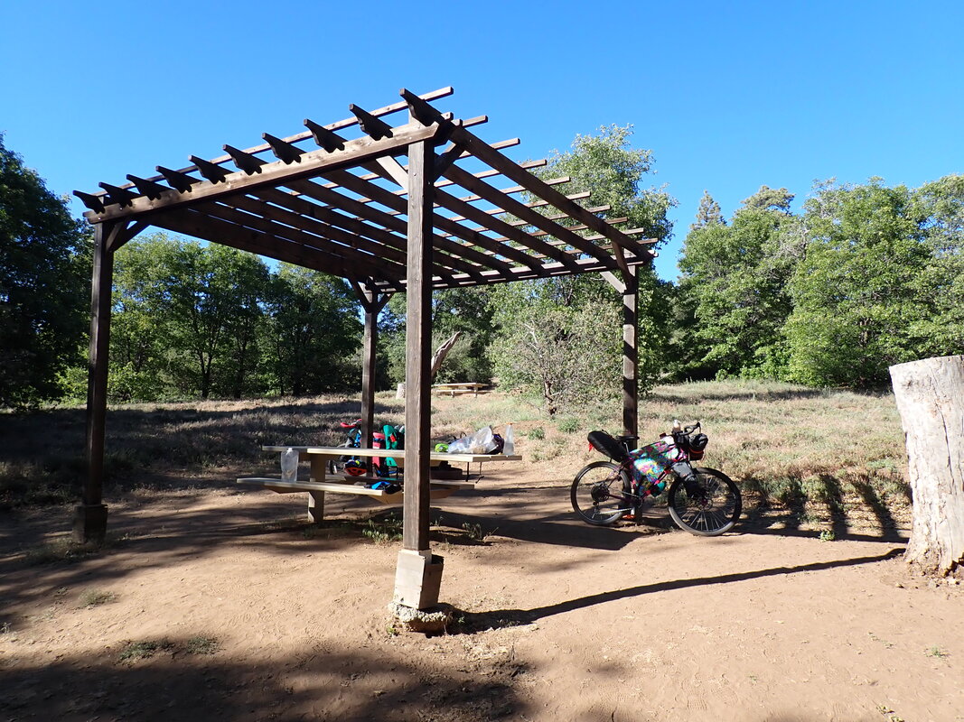
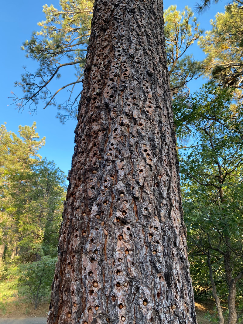
  The Sierra Cascades carried us through groves of Live Oaks and Cottonwood lining a wash before we arrived in Campo, CA. A Circle K gas station sat in the heart of the rural community. We parked our bikes in its shade and went in to grab a ton of water. Usually, we get easy permission to fill our bottles/bladders from sinks or the tap. However, with this being only one year into COVID, we turned away and told to buy bottled. We bought a couple of gallons while masked, filled up our bottles, ate some snacks, and pushed off for a long ride along a country highway that passed by rural home while distant rock-peaks punched into the air. The historic Route 80 was relatively quiet and passed us along dried-grass fields in the floodplains of dry desert washes while interspersed Live Oaks provided intermittent shade. We rode our bikes through a Border Patrol checkpoint and started up a steep climb into more mountains. As elevation increased, the shoulder width decreased, but the views were amazing. A shaded wildland fire station came up on our rights. We turned our bikes into the parking lot and took a long break in the shade of its trees as mid-day heat really got going. Watered and cooled, we got back on the bikes, crossed the interstate on a bridge, and started climbing up the side of Mount Laguna in earnest. The sweat just poured off me on the steep climb. It reminded me of ascending Mt. Lemmon down in Tucson for the relentless uphill coupled with sweeping views of chapparal valleys into the distance. We used a couple of pull offs to let traffic pass on the non-shouldered highway. These provided additional opportunities to observe the wildflowers and take in more viewpoints. Eventually, yucca and grass gave way to montane pine and conifer along with sprawling meadows. We entered the Laguna Mountain Recreation Area in the Cleveland National Forest and stopped to read several information signs and plaques along pull off boardwalks. We pulled into the Burnt Rancheria Campground in mid-afternoon, found a suitable spot, and setup our shelter. The campground was relatively empty as reservations were required and most sites were closed due to COVID precautions. We walked the perimeter of the campground as it was only 4 pm. Large Jeffrey Pines were studded with thousands of holes filled with acorns. The prevalent oak were producing seed that Acorn Woodpeckers were drilling into any space they could find. It was super cool. As evening came around, Janna and I returned to our tent site, ate dinner, and finally felt the cool of the mountain elevation lower temps for a good night's sleep.
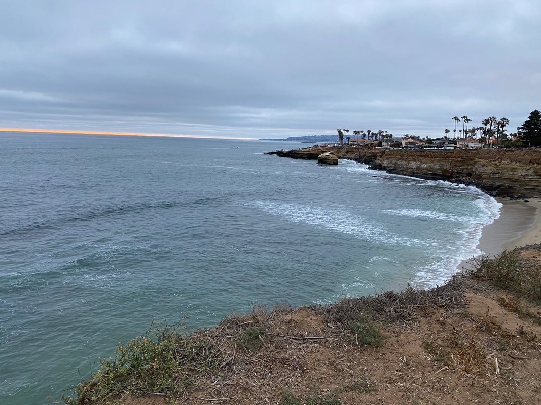
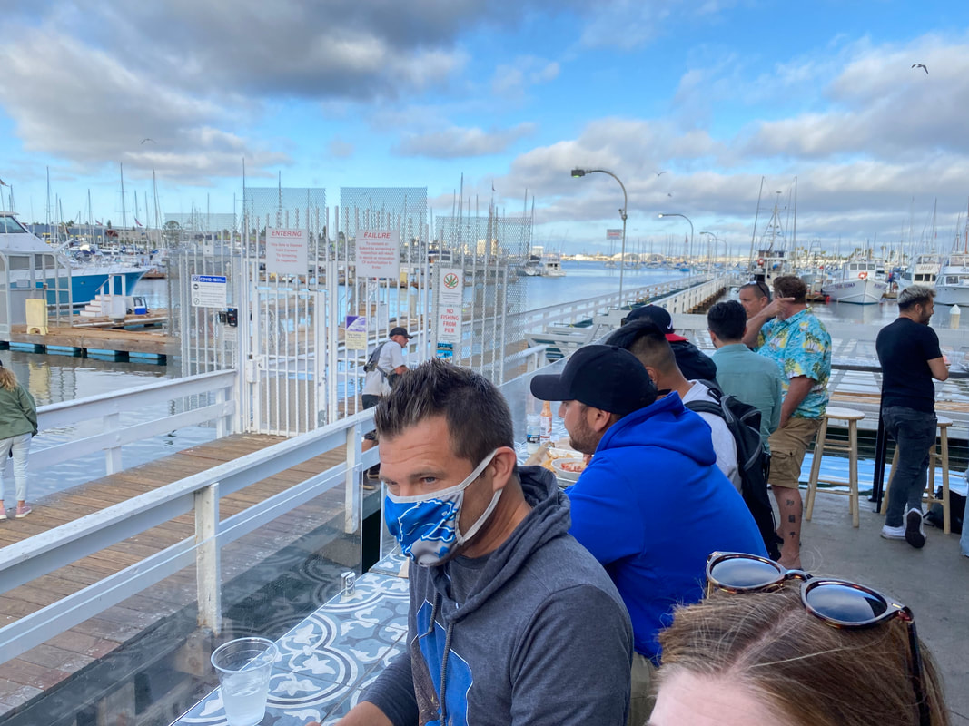
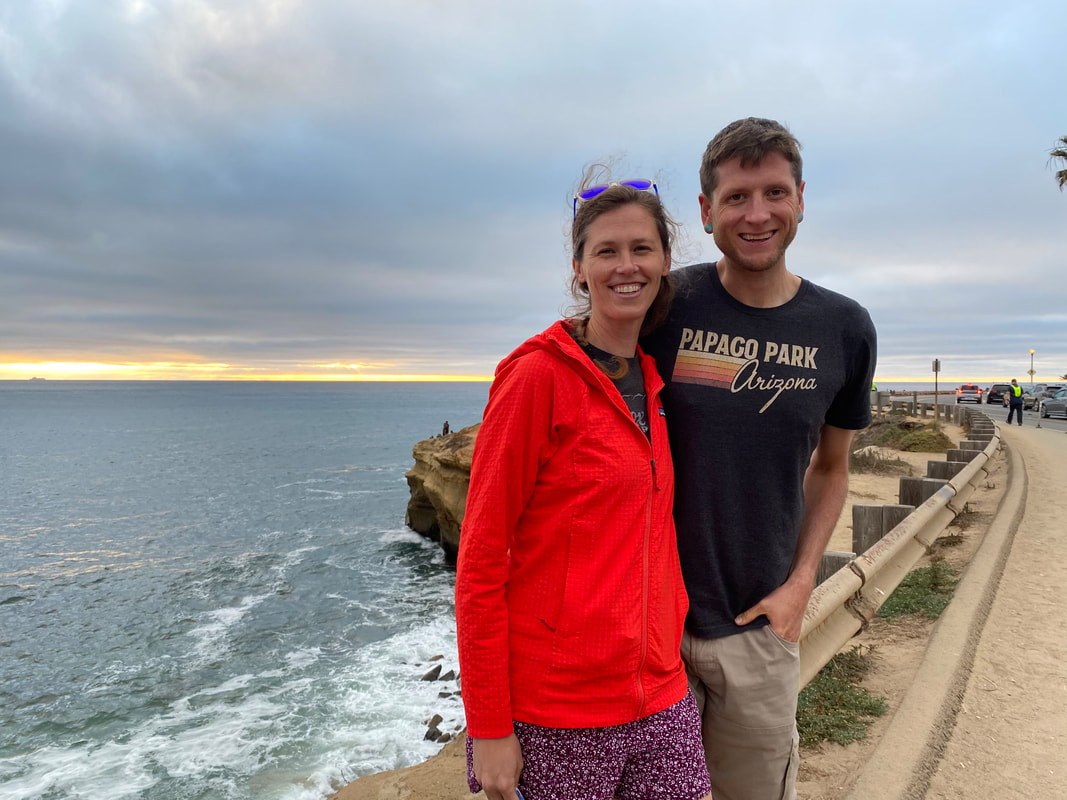
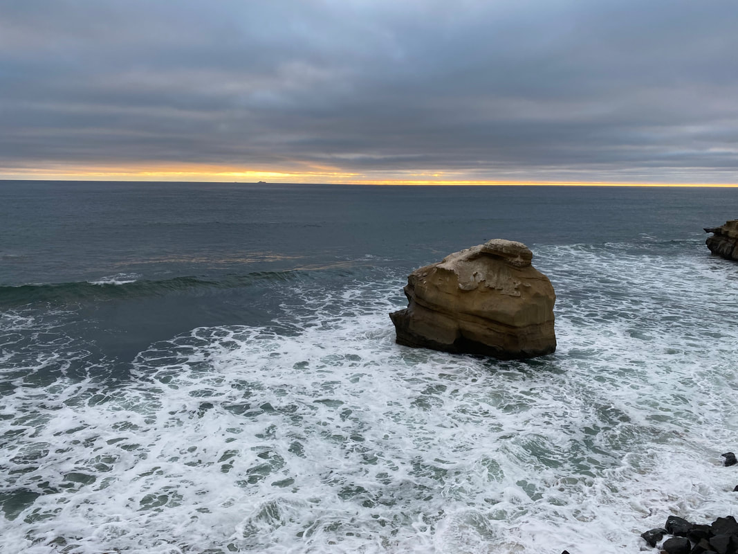
    0 Miles; 0 Feet of Gain; El Cajon, CA 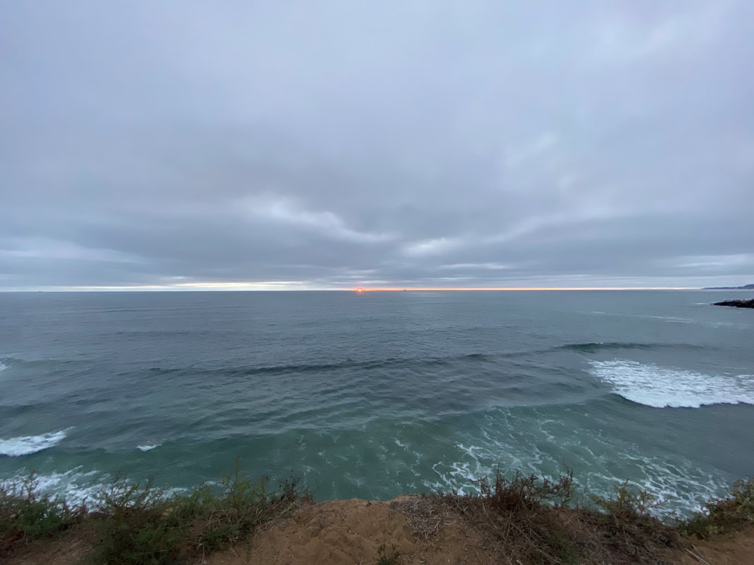 The school year ended after an extension to June given the postponed start due to COVID-19. And with it came the close on my first year working and living at the Grand Canyon. It felt a little off-kiltering to realize the year had come-and-gone all while COVID-19 continued to press down on the world sizably. With summer break nearing, Janna and I fleshed out our adventure plans. We settled on the Sierra Cascades Bicycling Route by the Adventure Cycling Association. The route is a road/pavement-based tour that acts as the bicycle equivalent of the Pacific Crest Trail. It starts in the mountains along the US/Mexico Border and continues across the crest of the western-coast states all the way to Canada. We had eyed the route several years ago when deciding our first tour and wisely thought it too difficult to start with. Our original plans for this summer were to bike the Great Divide Mountain Bike Route. However, an injury I sustained in February resulted in medical advice to avoid jostling rock/dirt surface for pavement. I had injured my right foot bones with expansive and severe bone contusions. I was merely eating lunch at my kitchen table, leg crossed over other, when I stood up to put my dishes away. Unknowingly, my right foot had fallen asleep so thoroughly with numbness that I didn't realize or feel it as I took a step forward and placed all my weight on it. The moment I didn, the foot collapsed from lack of muscle tone and experienced a torsional force that flipped the ankle 180 degrees and crushed all the metatarsals. An audible series of loud cracks from bone crunching bone alit the kitchen, and I went to the floor in searing screaming pain. A trip to the doctors along with X-rays revealed substantial contusions with a risk for bone infection. I was subsequently put in a supportive boot with crutches for several months. As summer approached, I consulted with my doctor about mountain biking the Great Divide. She told me biking was fine but nothing off-pavement where vibrations would certainly lead to pain and possible reinjury. The Great Divide was out. But I wanted something beautiful and epic. The Sierra Cascades seemed to tick those boxes. The school year was wrapping up late due to our delayed start from COVID-19 in September. We extended into early June. I decided that riding the Sierra Cascades in June meant we needed to head northbound, starting at the USA/MEX border in an attempt to cross the heat of the Mohave Desert before full summer truly set in. Most riders take the route southbound, starting at the USA/CAN border. The bottom two sections of the route (the sections we were starting with) are the most difficult in terms of both resupplies, distance, exposure (heat!), and elevation gain per mile. We told ourselves that getting the hard part done first would mean a more relaxed approach to the upper half our ride when we could bask in summer in the evergreens of the Pacific Northwest. As the school year wrapped up, I attended graduation, and Janna and I immediately drove south the next day to Phoenix to meet up with our friends, Matt and Colleen. Matt and Colleen are truly amazing friends as this was the second time they had agreed to help facilitate our travel to/from the beginning of long-distance adventure. Previously, Colleen drove us to the start of our thru-hike of the Arizona Trail in 2019. And now both she and Matt were to drive us to Tecate along the USA/MEX border for us to start this tour. We left the Canyon around 6 am and go to their place in Mesa by 10:30 am. We all jumped in our car (we had bikes on the back) and started the drive to San Diego, CA. The stress of the end of the school year was so recently upon me that me body was still letting go of it; the result was massively tight shoulders/neck and a headache I couldn't shake. Plus, pure exhaustion (as always happens when the school year ends). I was incredibly sleepy and ended up passing out for large chunks of the drive between Phoenix and San Diego. We rolled into El Cajon on the outskirts of San Diego around 4 pm, where I had made some hotel reservations. The hotel was cheap, and super sketchy. We figured it was only one night, so no big deal. We dropped the bikes and ended up driving down to Point Loma to catch the sunset and get some fresh seafood from Mitch's. We all ate the awesome seafare before heading over to the beach to watch the sunset hazily among the marine layer. The temperature was brisk, and a quick check of the weather for tomorrow thankfully revealed cool and cloudy conditions for our start across the desert. We lounged on grass and looked over to watch a marriage proposal happen right in front of us. The beginning of summer break always feels chock full of anticipatory potential and sitting along the beach cemented the feel. Evening came on and the four of returned to the hotel to get to sleep early so we could wake up early. 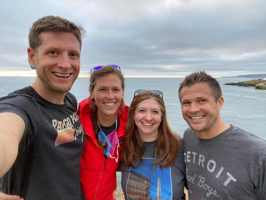 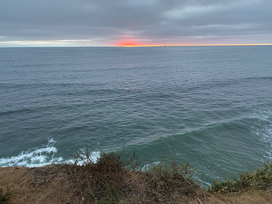
  |