|
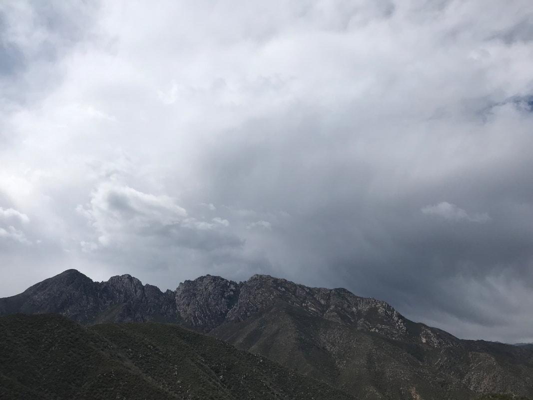
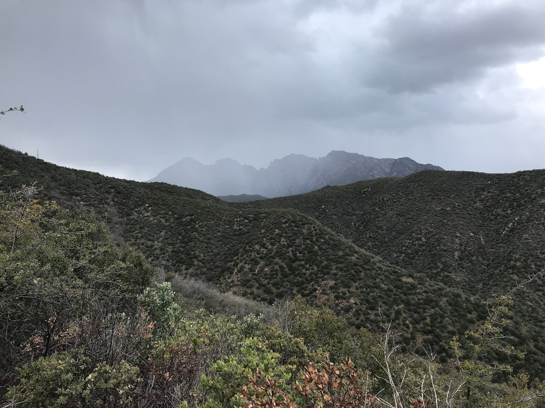
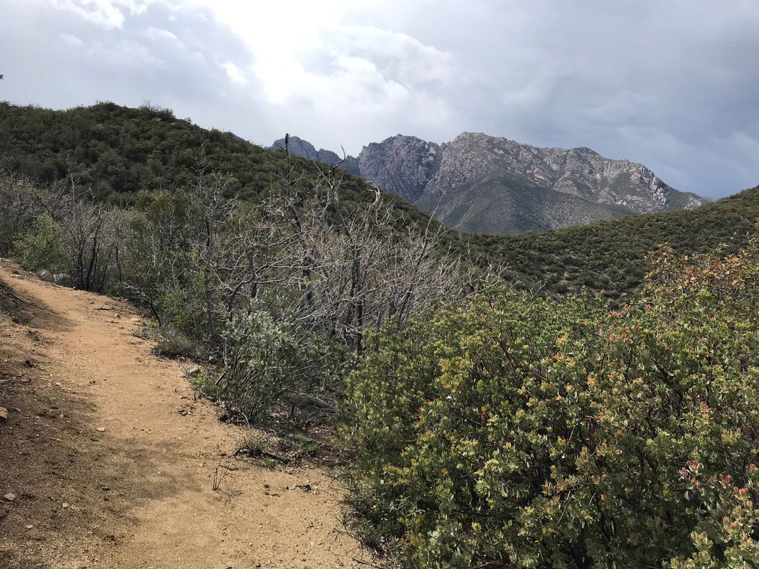
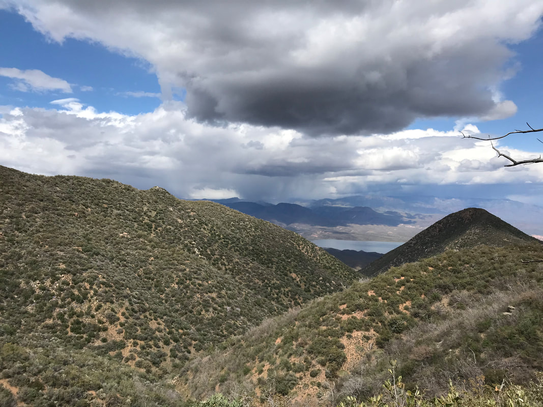
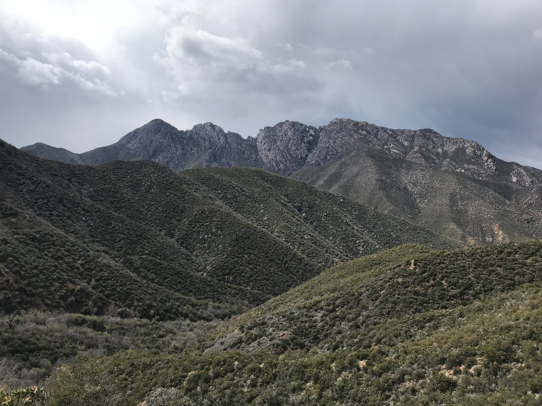
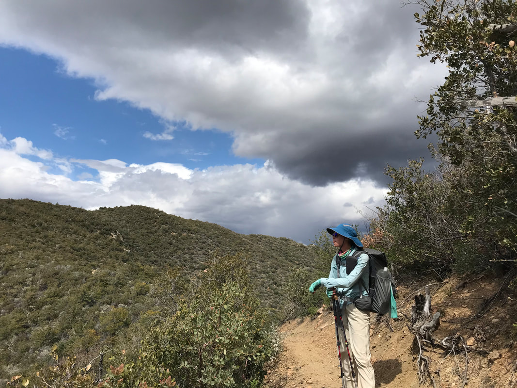
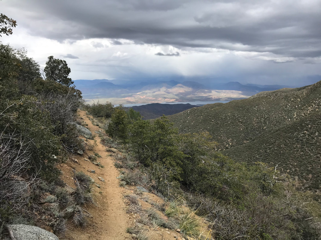
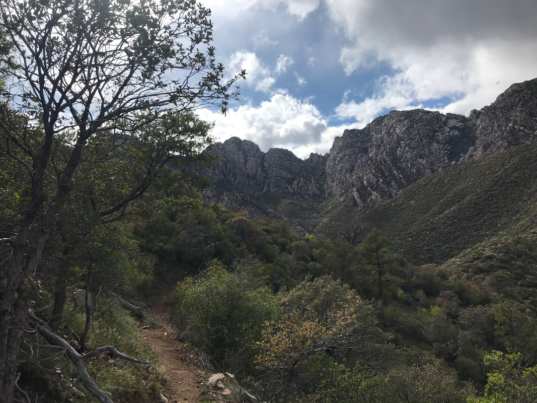
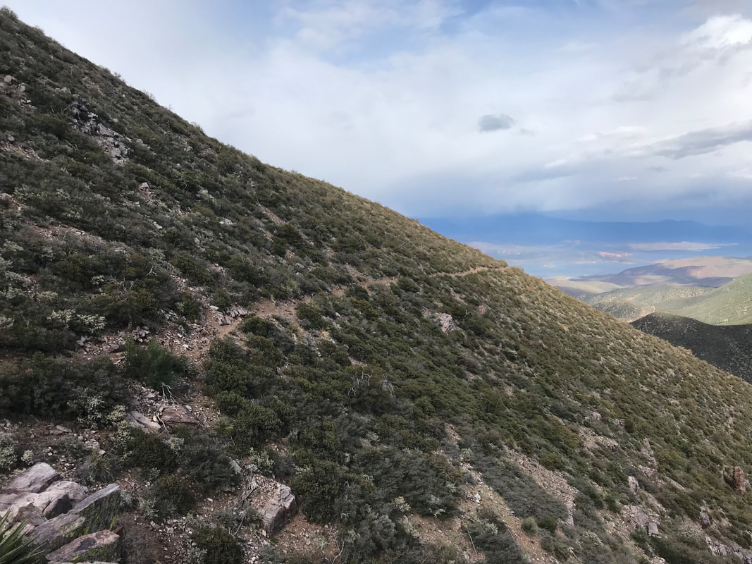
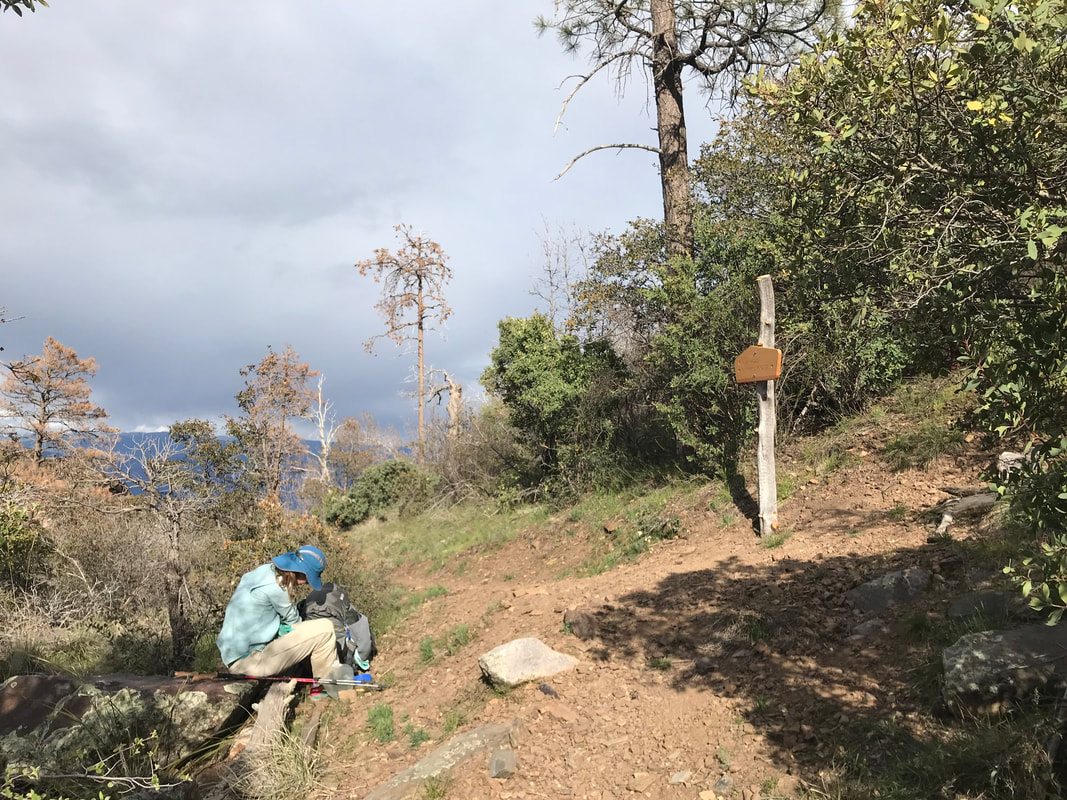
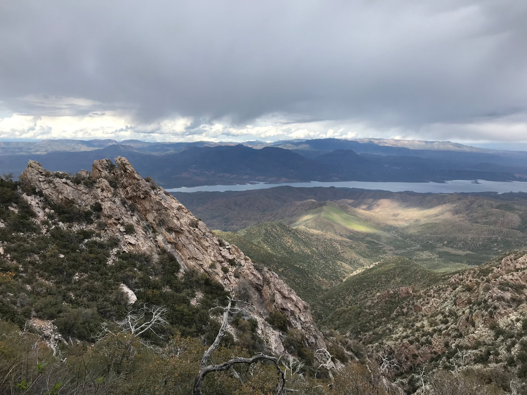
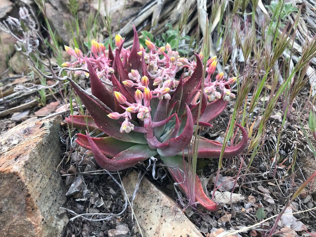
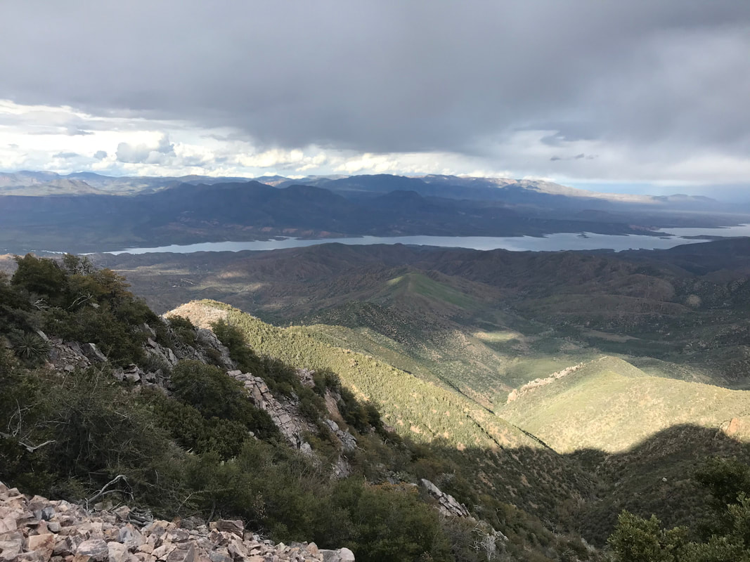
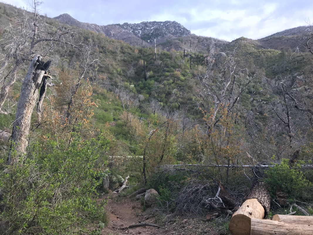
Click here to read Part 1. Rounding the eastern flank, the grizzled and scored tops of the Four Peaks came into view. Plus a massive storm hitting from the northeast. The sweep around the mountain made us realize how we were really paralleling Lake Roosevelt, almost hiking its length from afar. Jagged burnt trunks of lumbering old growth Ponderosa Pine appeared trailside, victims of prior wildfires. The AZT curved to our left into a massive inward valley. I was more stoked than anything to be so up near the Four Peaks. I knew we would get near them, but not nearly right below their exposed granite summits. We turned back to look at where we had come only to see a swirl of rain and light indicate a storm chasing our direction. We put a move on as the AZT finally entered unbroken ponderosa pines. My knees at this point were feeling pretty cooked. We had thousands of feet of elevation gain and our current elevation put us well over 6,000 feet. Janna wasn’t feeling well and went trailside to deal with her stomach. I sat down and for the first time that day, the chill of the wind and sputtering rain hit me. The constant upward exertion, elevation, and cold temperatures suddenly made me completely bonk. Had I been eating enough? Damn. I was so set on motion and making pace with the storms that I had dipped low with my food consumption. I hustled out some Cliff Builder Bars. Janna rejoined me, feeling much better, and now I was the one feeling terrible. We continued on, dipping into a wash and meeting a trail intersection where we stopped next to a sign. At this point, we both took a long rest and looked at the scattered pottery shards. We refilled water, put on some layers, and prepared to exit the pines as we came through the inner curve of the valley and shot right back out along a new flank of the eastern mountainside. The trail was marked as a straight rip into the slanted slab of land. It was almost dizzying to look at. Right above us, the hulking masses of the Four Peaks stood. We moved on as late afternoon/early evening approached. The trees immediately disappeared as we were on the south-facing slope of the eastern flank. The wind hit us, chilling us greatly. We reached the outer edge and found it switchbacking down an INSANELY cornered, steep, and chunky descent; we each went one of the time so that if one fell, the other would not get knocked off the mountain. We stopped again when we could plainly see the Mogollon Rim rising up in the northern distance. It was like a massive sentinel of wall delineating the lower half the state from the northern. Before it stood the rugged and jagged land of the Tonto. Once we ascended it in a few days time, we would be in the high elevation thick forests of northern Arizona. I took some photos of alien-looking succulents sprouting blooms from granite before moving on. As evening approached, we now came around the flank and were suddenly on the north side of the Four Peaks. The north-face of one held chunks of snow and ice still. We walked through burnt logs and standing pines until the sound of a rushing steam caught our ears. We arrived at Shake Spring which was more waterfall and smashing rapids than a spring. Up the hill, we found a series of awesome campsites shielded from the elements by a thick grove of pines and chaparral in the understory, plus some good logs to sit on. We made sure to set our Ursacks well as the northern portions of the Four Peaks contain the largest populations of black bears in the entire southwestern United States. The cold came dramatically and we could see campfire smoke in the distance, someone up near the pass where Four Peaks road is. We climbed into our Triplex not a moment too soon before sleet came down on us, dropping the temperatures. I always sleep well in these conditions though: the sound of a nearby stream, raining pelting my shelter. I always get snuggy and pass out, a feeling of safety from the elements.
0 Comments
Leave a Reply. |
