|
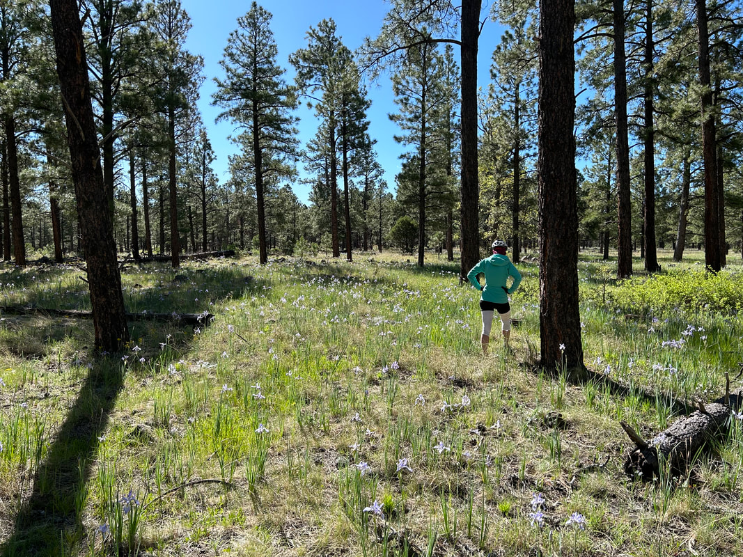
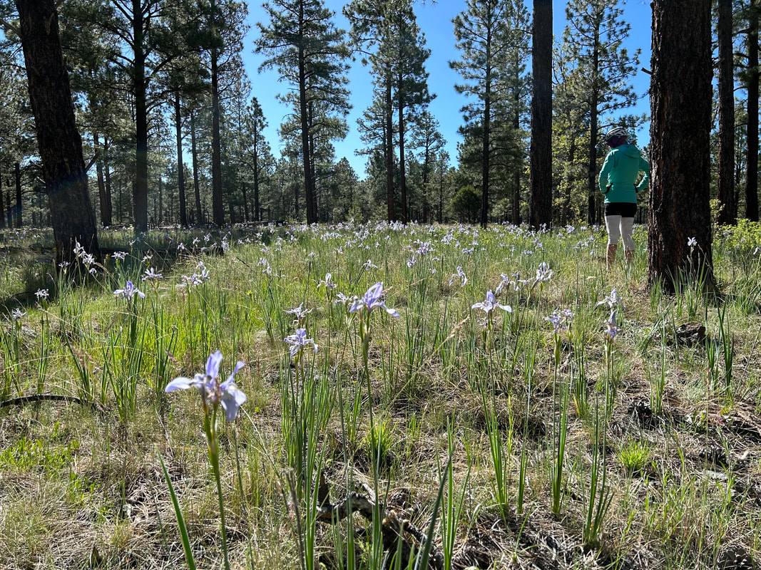
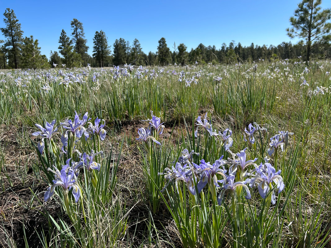
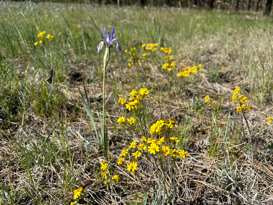
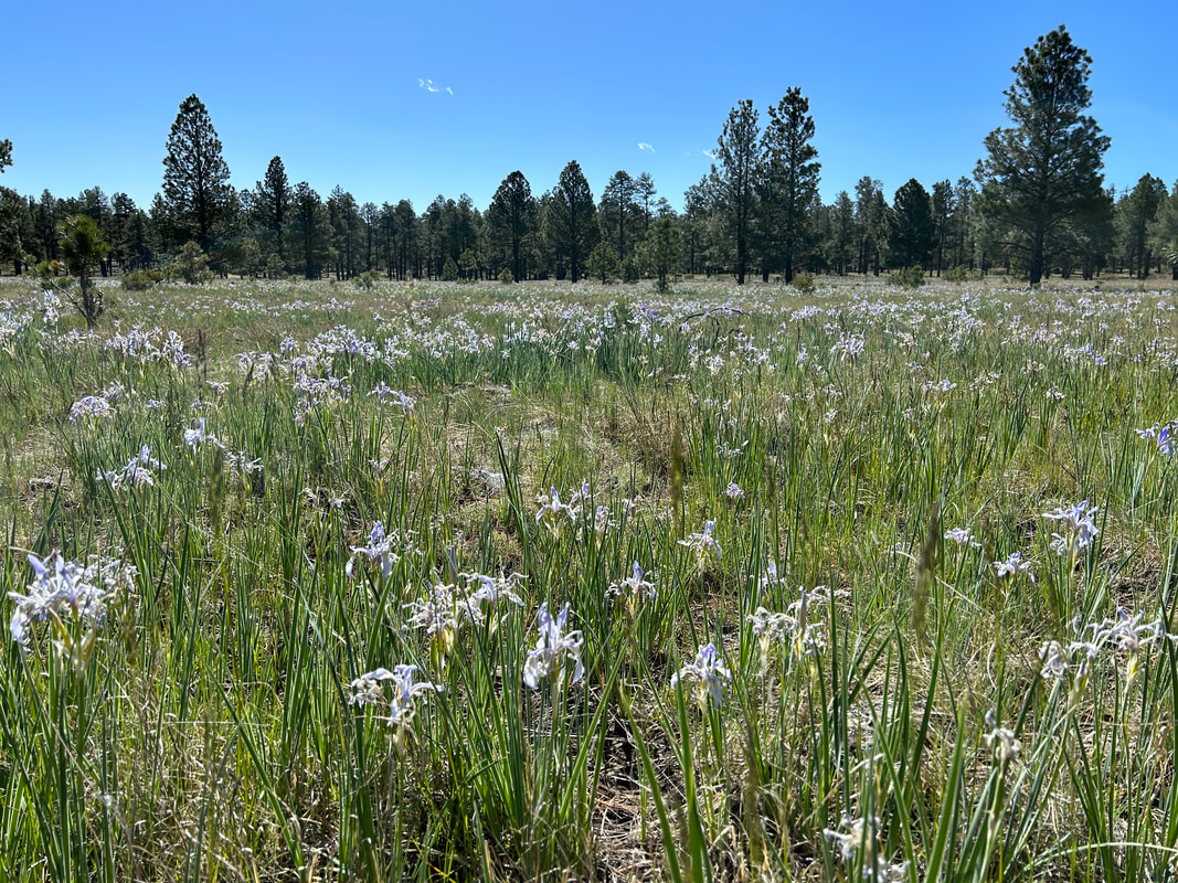
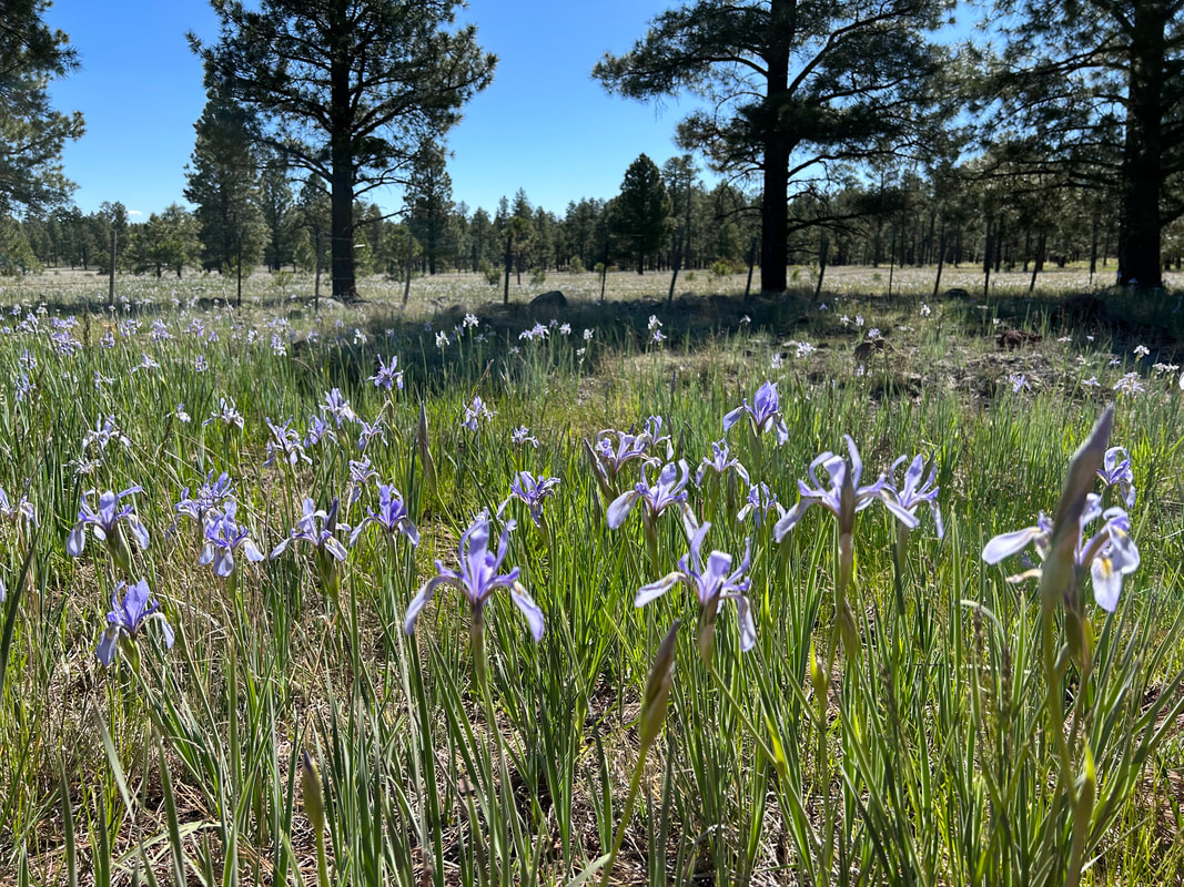
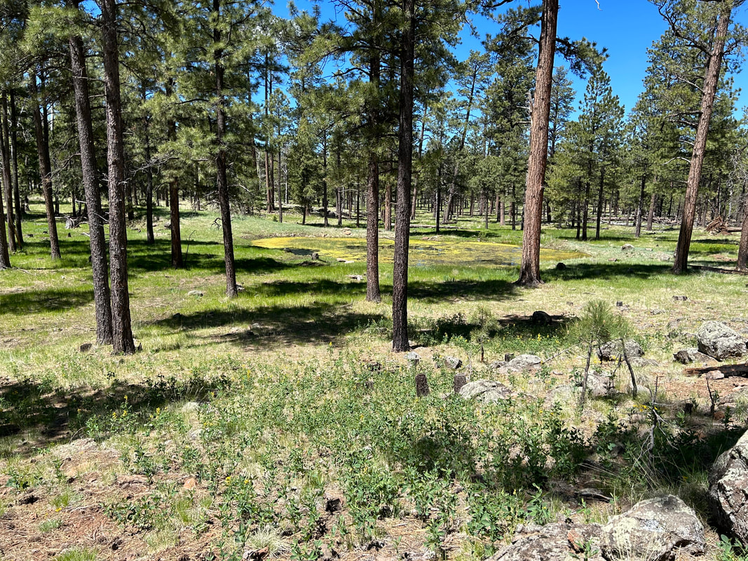
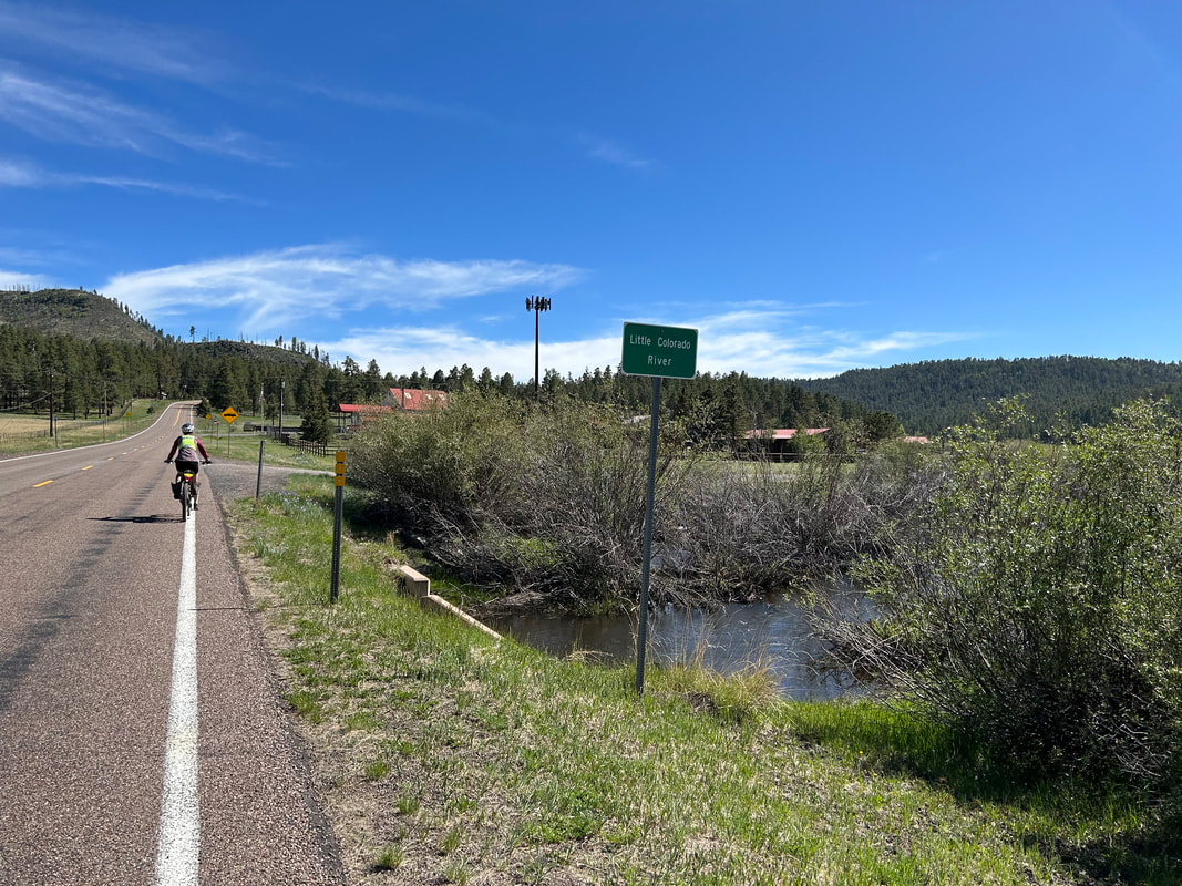
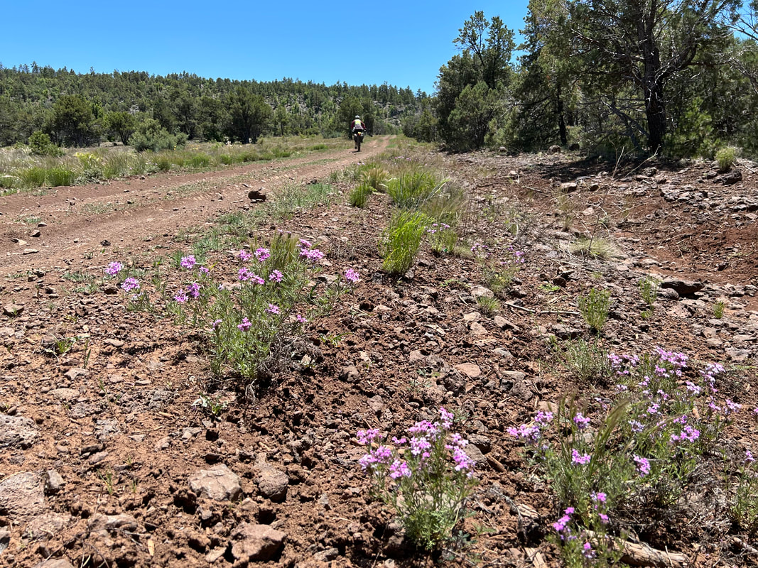
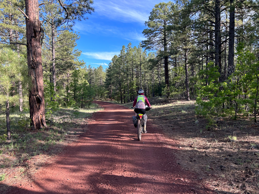
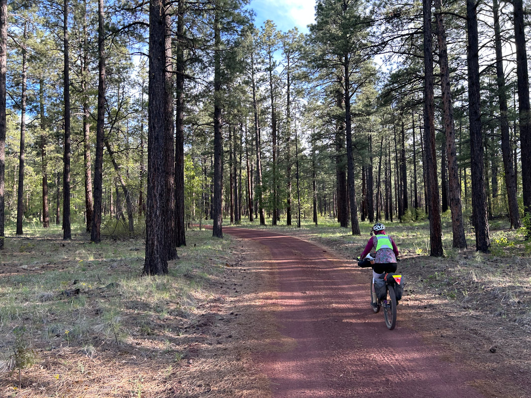
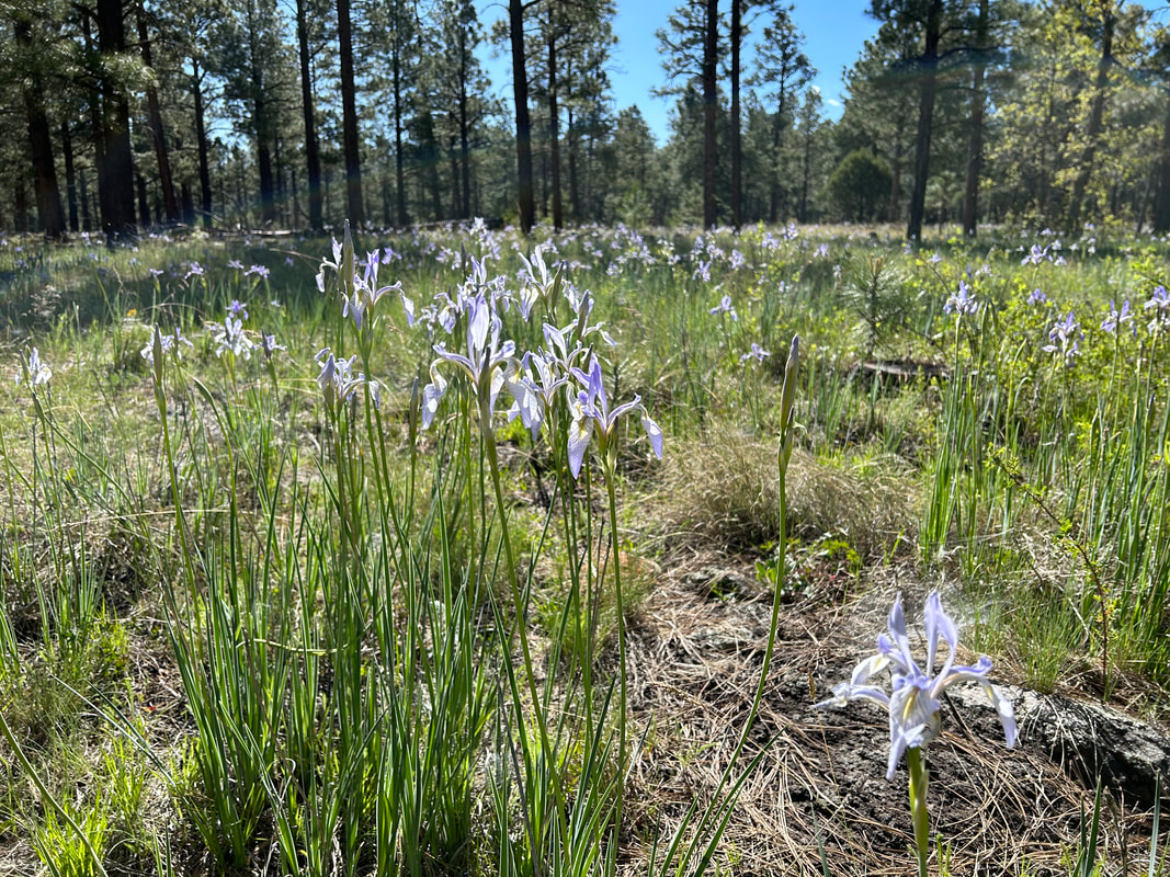
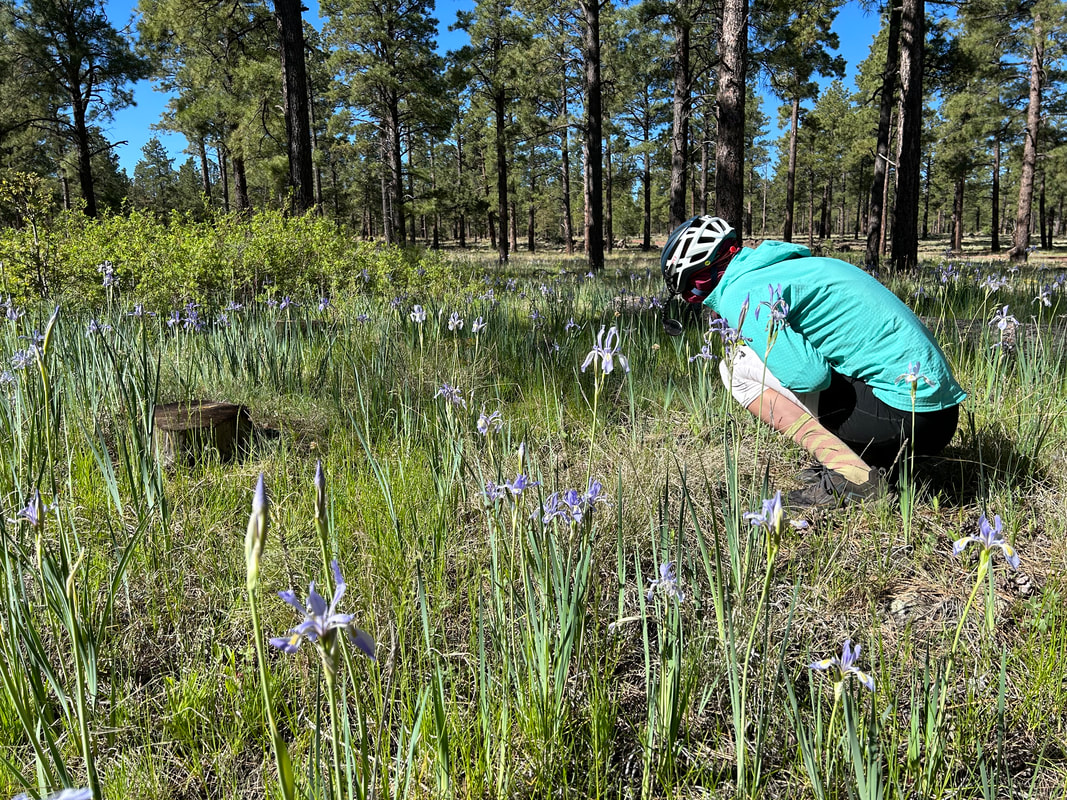
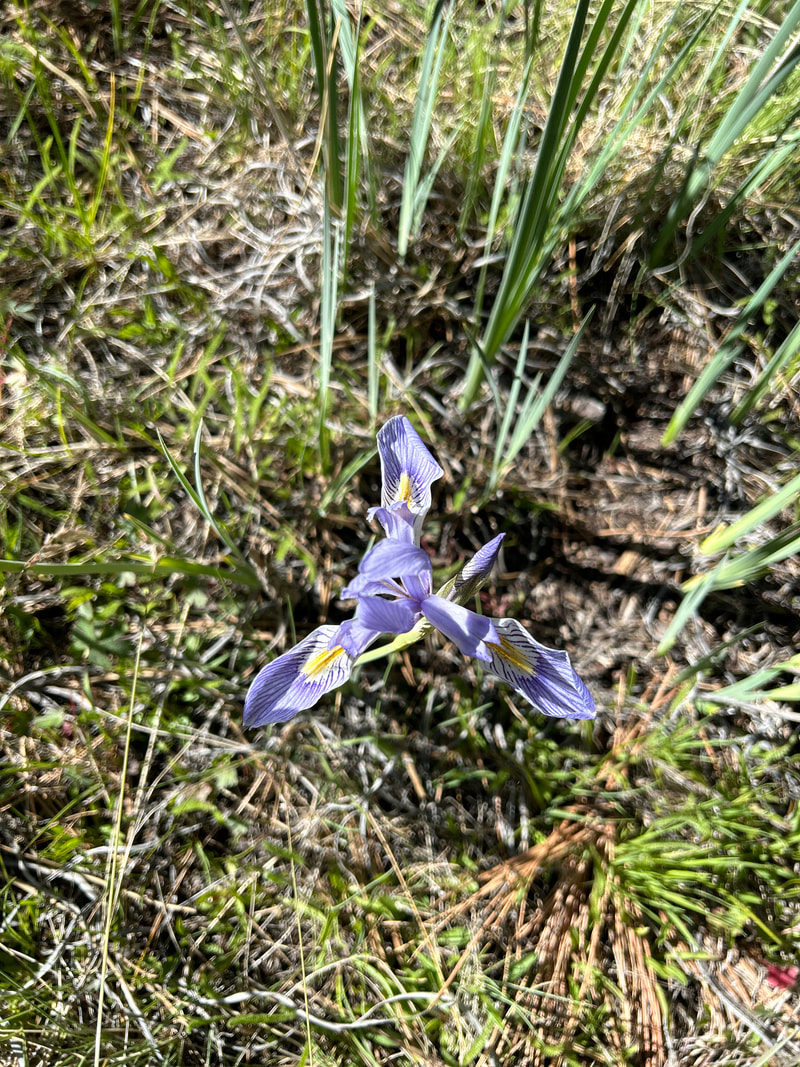
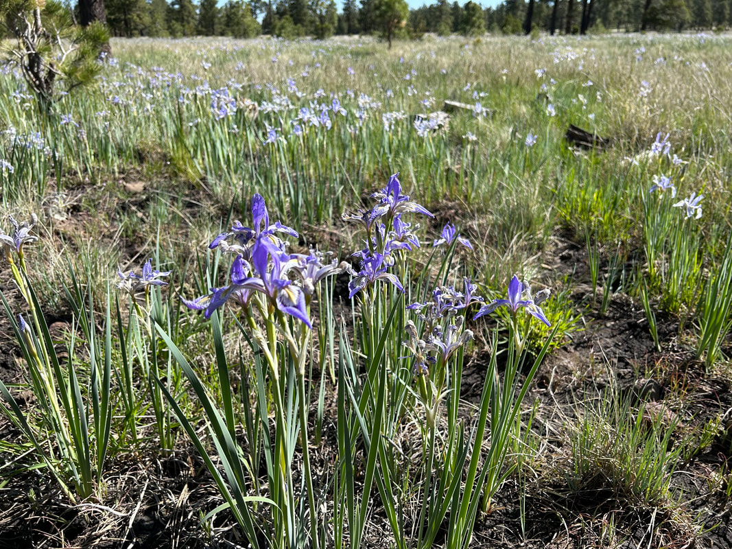
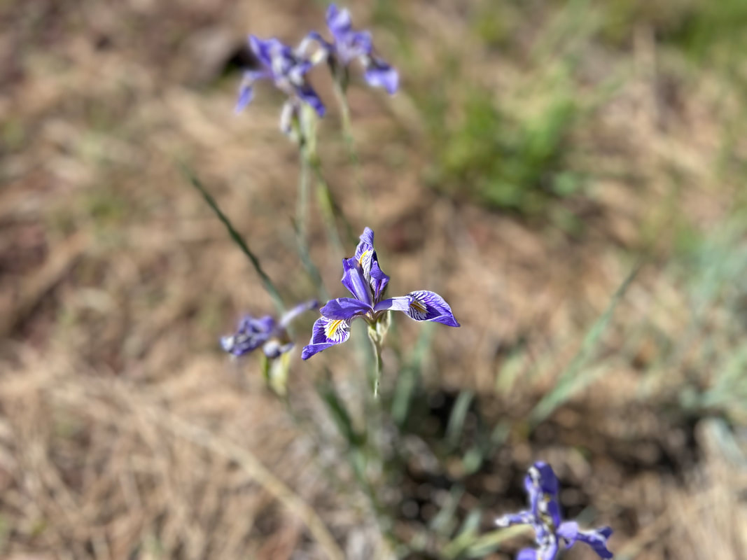
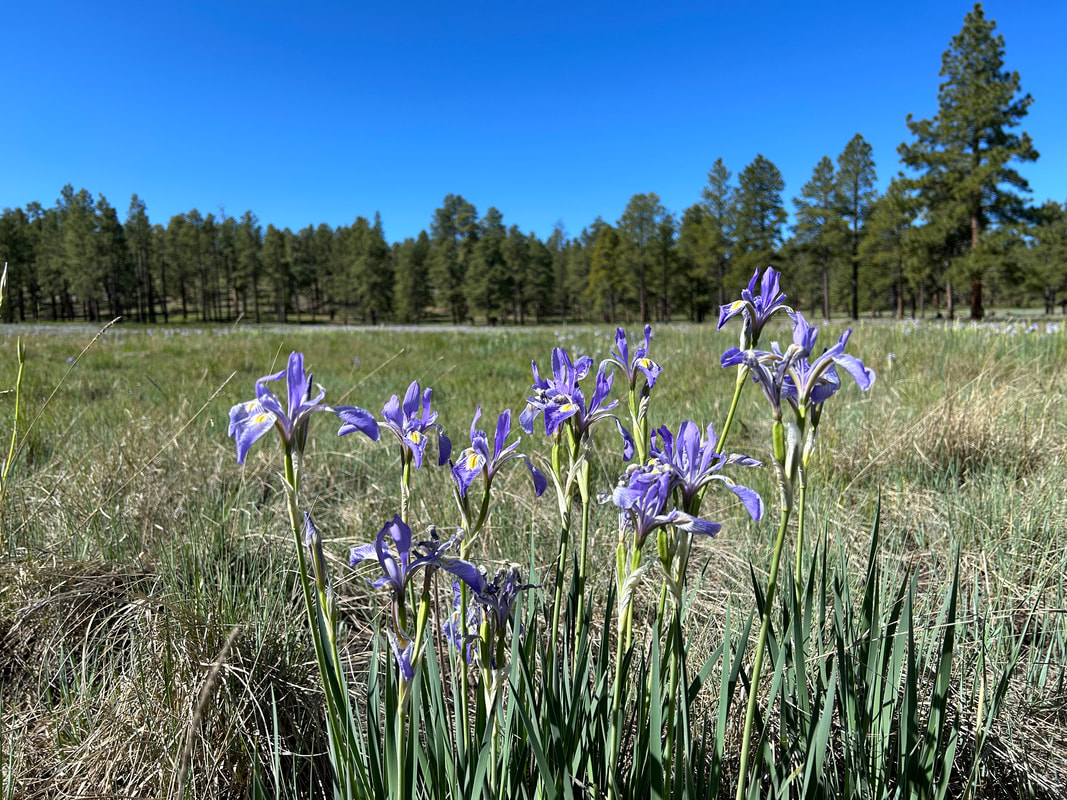
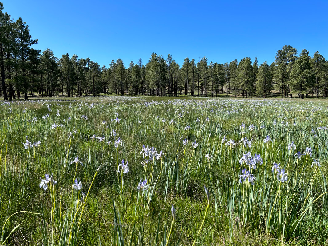
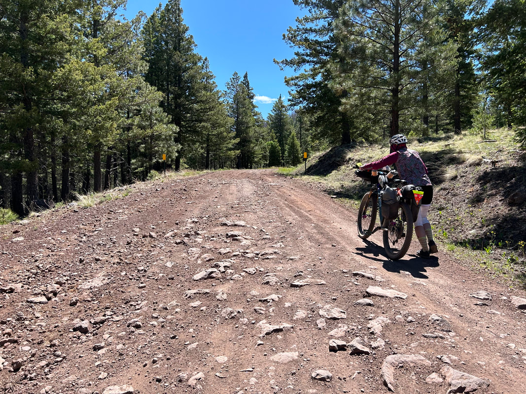
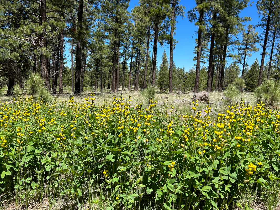
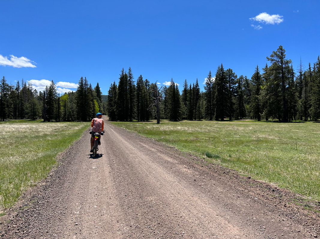
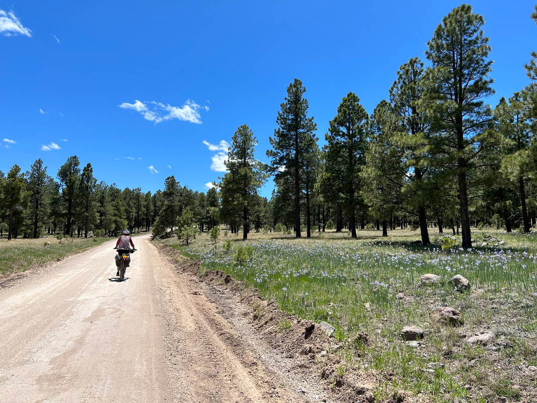
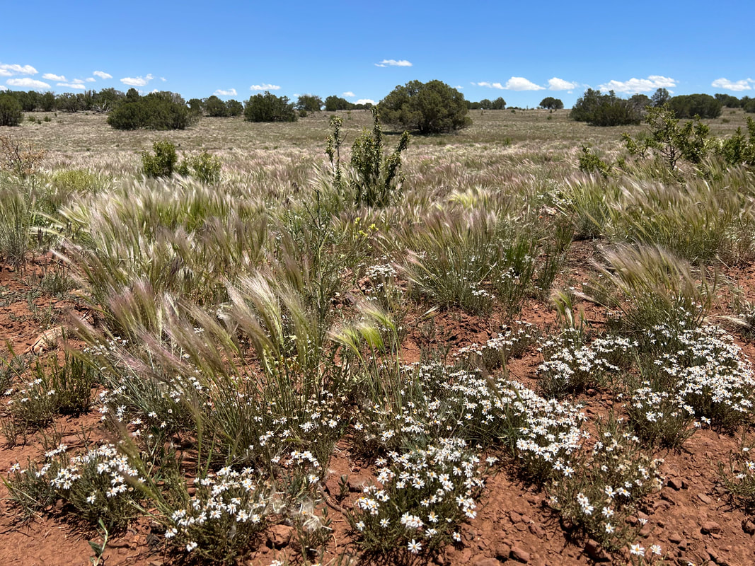
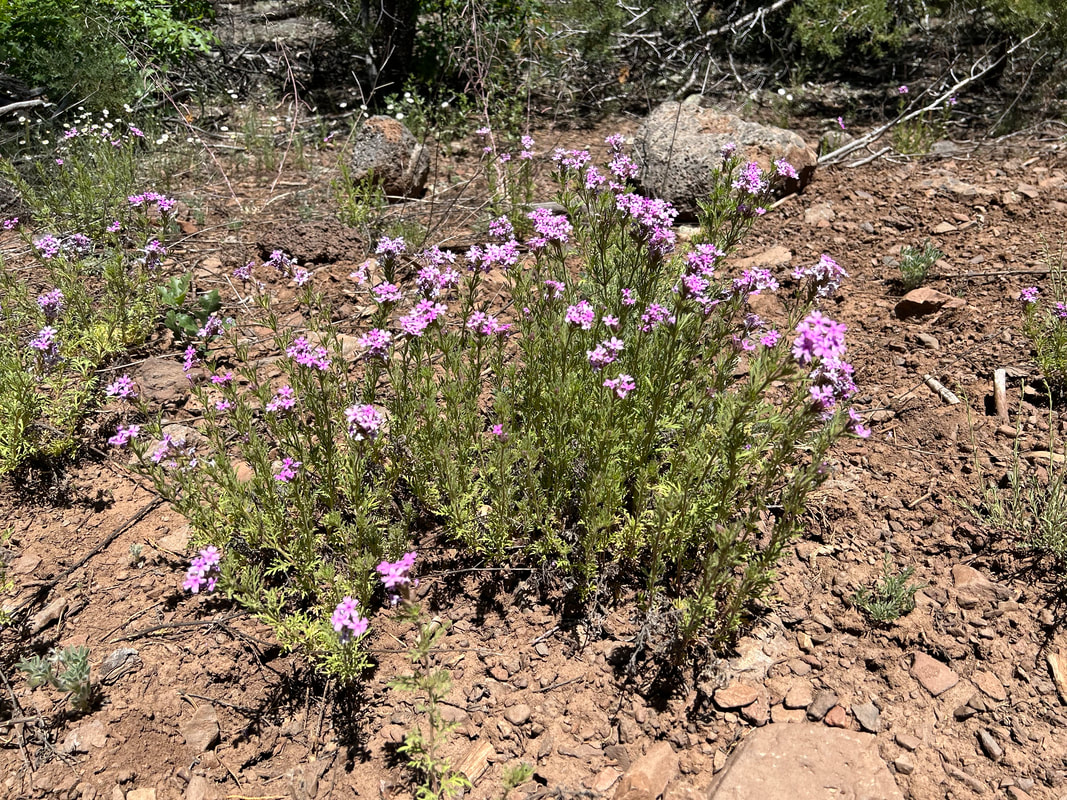
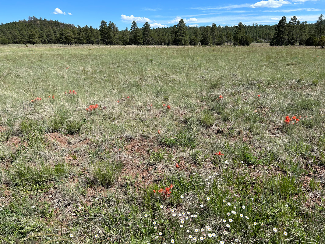
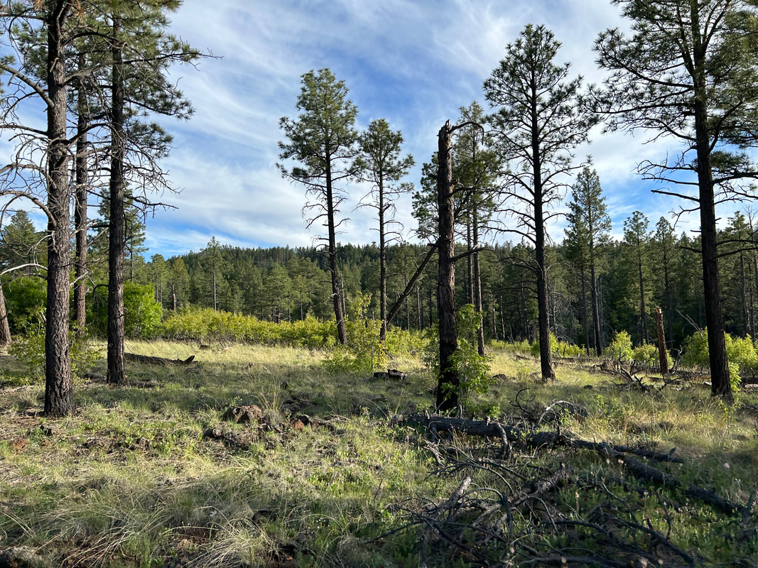
25.32 Miles; 2,418 Feet of Gain; Near Brady Park to Greer, AZ 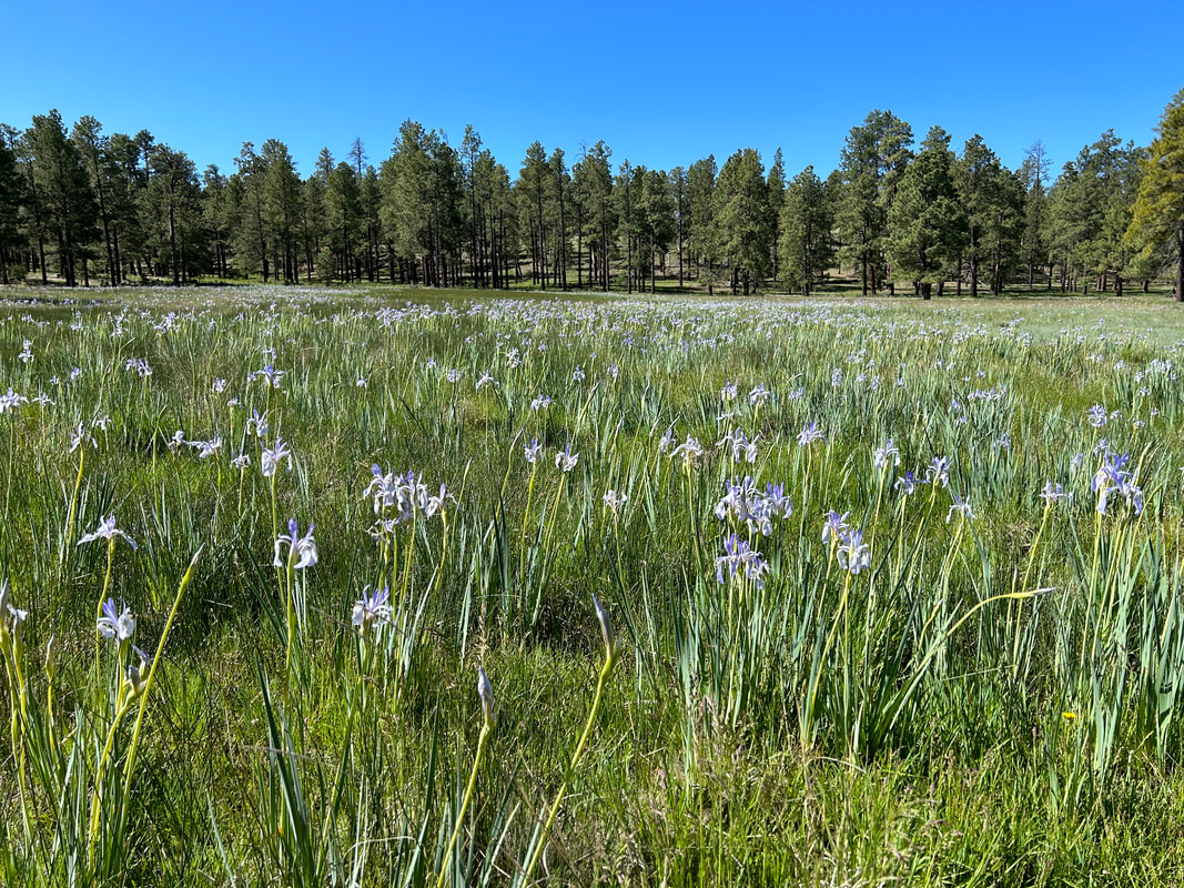 The night was still as stone, and we slept hard. The cool of night began to sweep away at the sun's first glimmers. We had only 25ish miles ahead of us today, plus a reservation at the Rolfe C. Hoyer Campground in Greer, so neither Janna and I felt rushed. We took a long, enjoyable breakfast, took care of our bathroom needs, packed up our gear, and started uphill further into the Apache-Sitgreaves National Forest. No more than ten minutes into our ride did I slam on my brakes and hop off my bike. Throughout the woods, in tremendously dense numbers, a superbloom of wild irises dappled the swaying grass with purple triumph. These were Rocky Mountain Irises, also known as Western Blue Flags, a native staple in spring in the White Mountains. The snow had only recently melted. As a result, the soil was wet and saturated - providing perfect growing conditions for the purple flower. To be honest, I had no idea that the iris was found wild and true in Arizona until I staggered under ponderosa boughs to gape at the large quantities in the woods. They grew abundantly in the neon green meadows of grass that sprung up in the damper portions of the forest. Purple heads caught violet-shine in the sun now brightening our morning. I quickly got to eye-level to take in the purple petals best in bloom. Every shallow scrape of wet soil burst dense with irises. My eyes hummed with them. No sooner had I biked only several hundred feet than a new meadow bursting with iris would leave me unceremoniously leaving my bike sideways in the red cinder road so that I could go and stare at the purple flowers. After an hour only traveling half a mile, we finally arrived at Brady Park where a spring from the hillside (now rather dry) had kept the soil and drainage of the expansive meadow damp. Here, irises grew at the best quantities I had yet seen. Again, I dropped my bike, hopped a cattle fence, and marveled at the carpeted flower meadows. Individuals at the edges of the spring drainage were already crinkled and drying out. But those in the center were verdant and royal. I took photo after photo of the violet-infused glades. 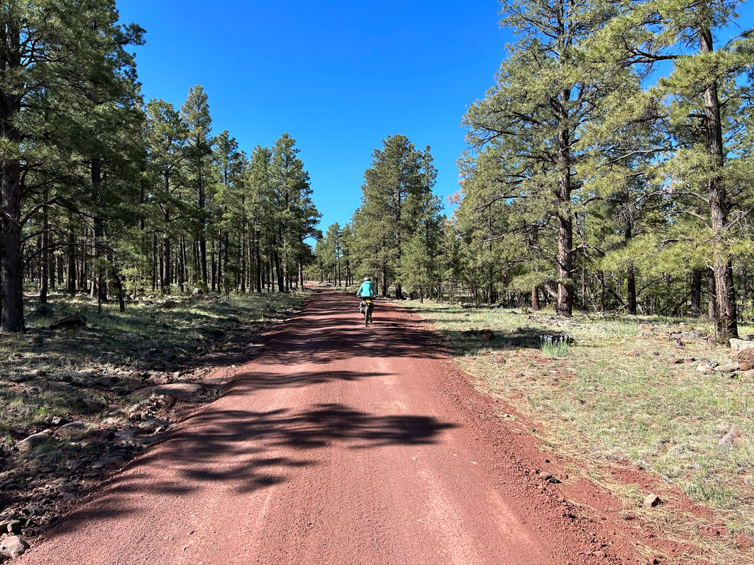
   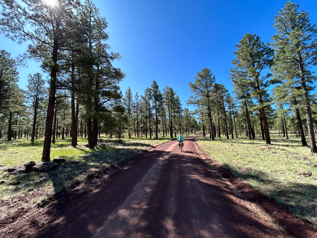  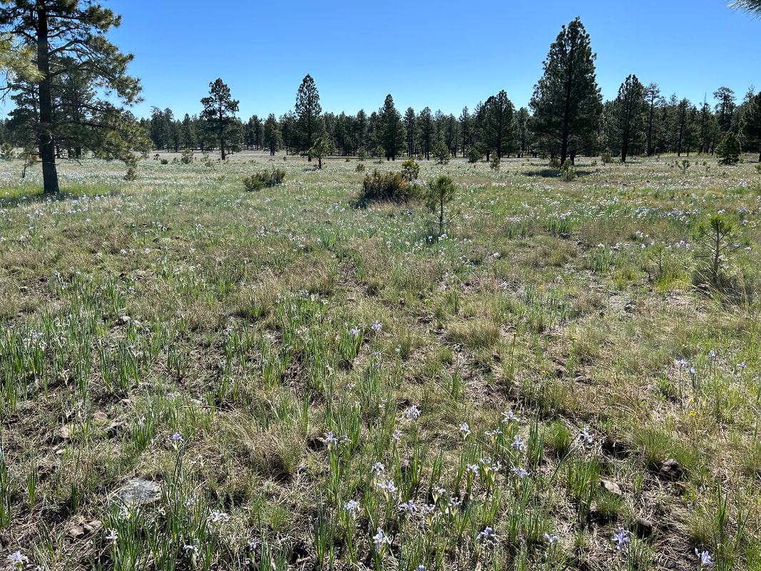
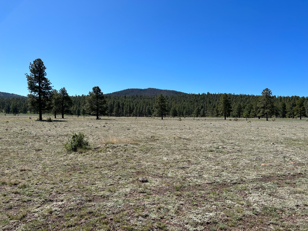
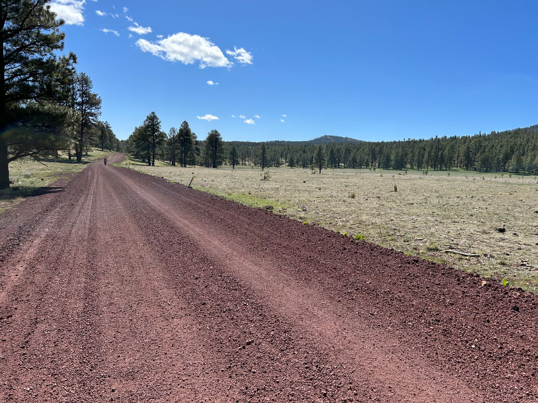
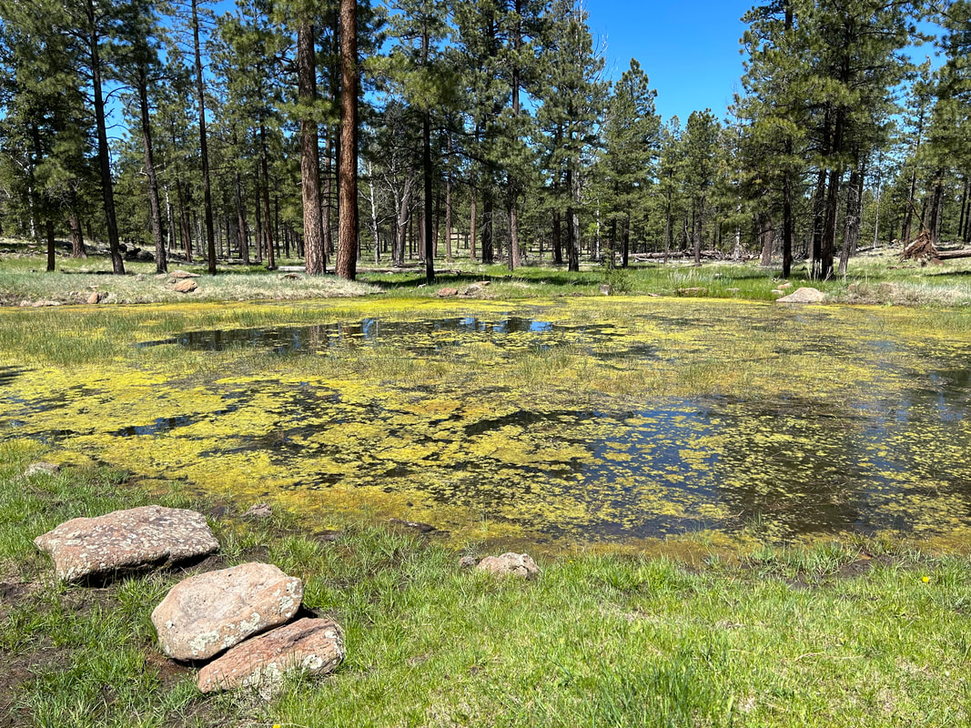
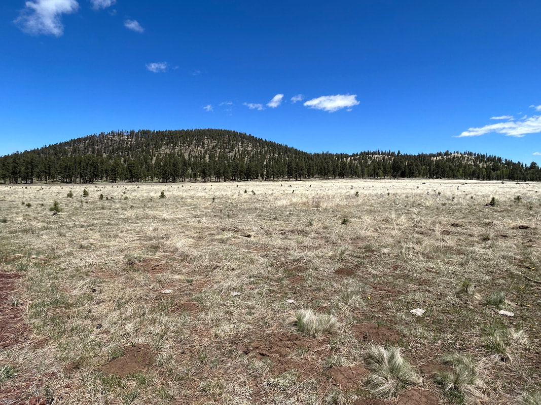
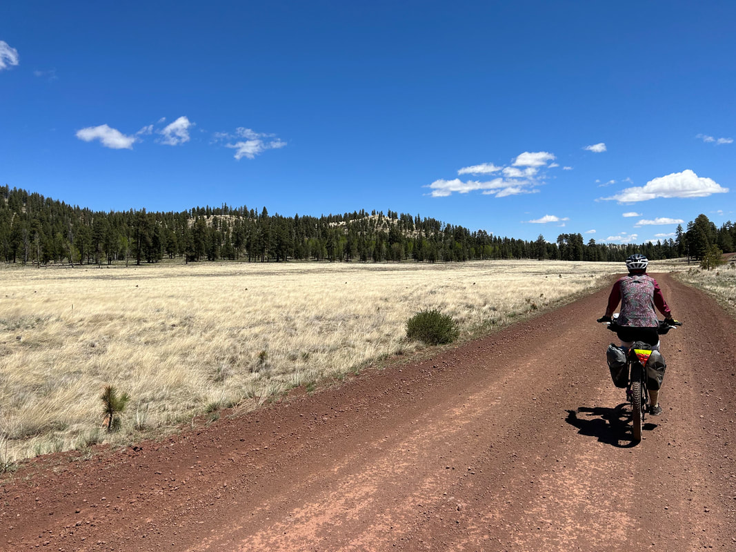
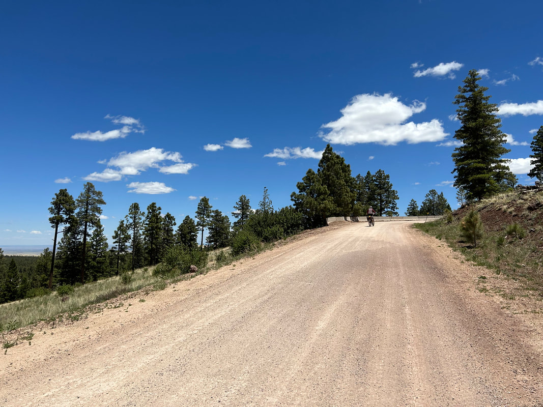
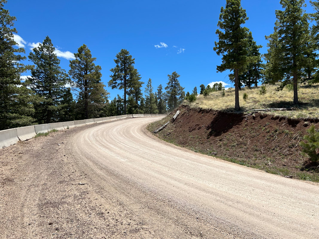
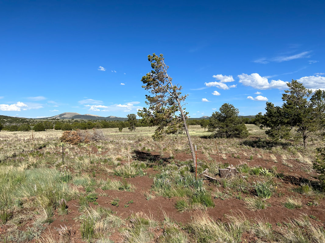
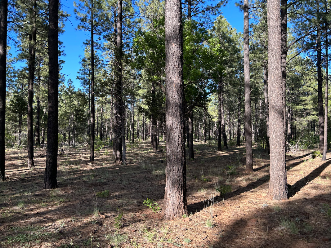
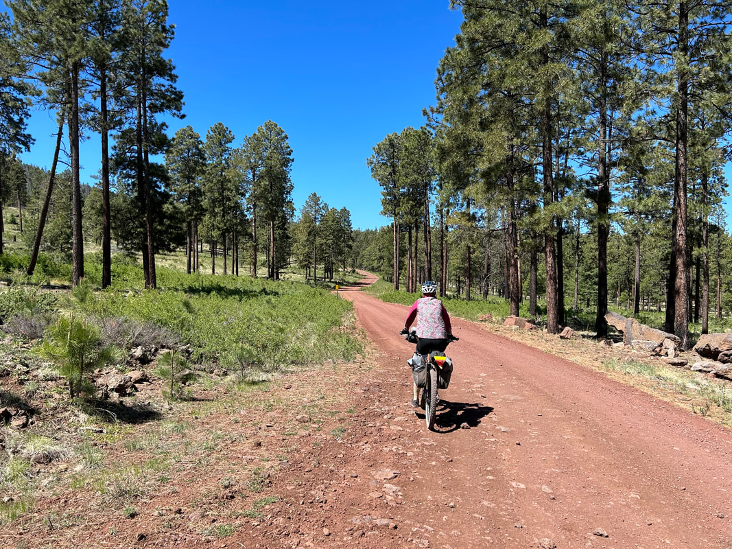
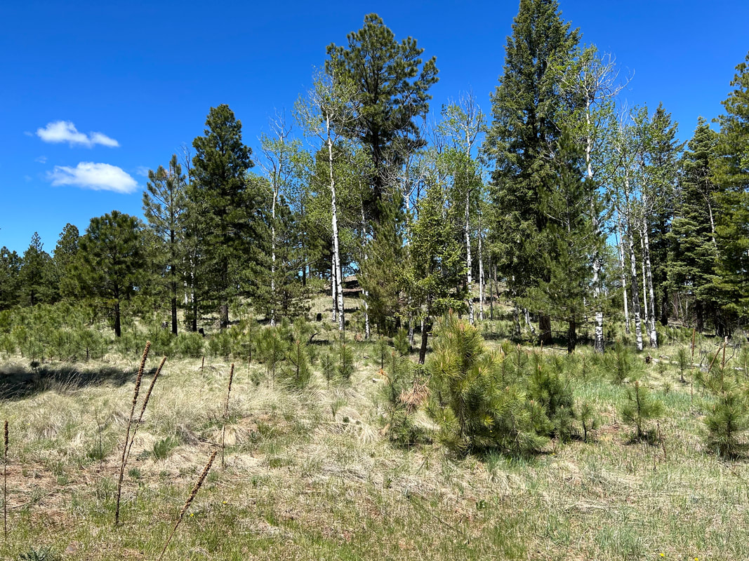
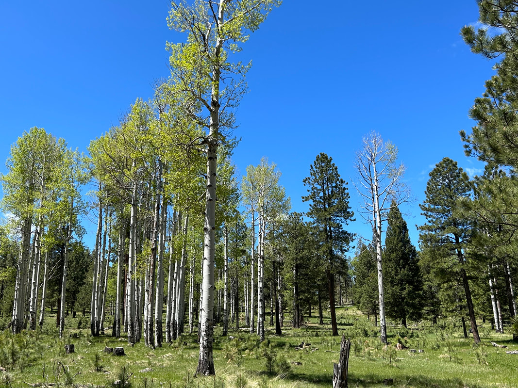
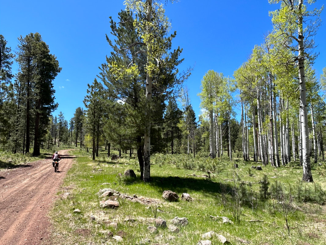
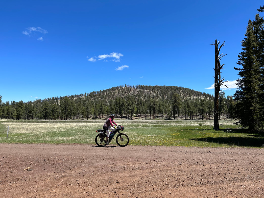
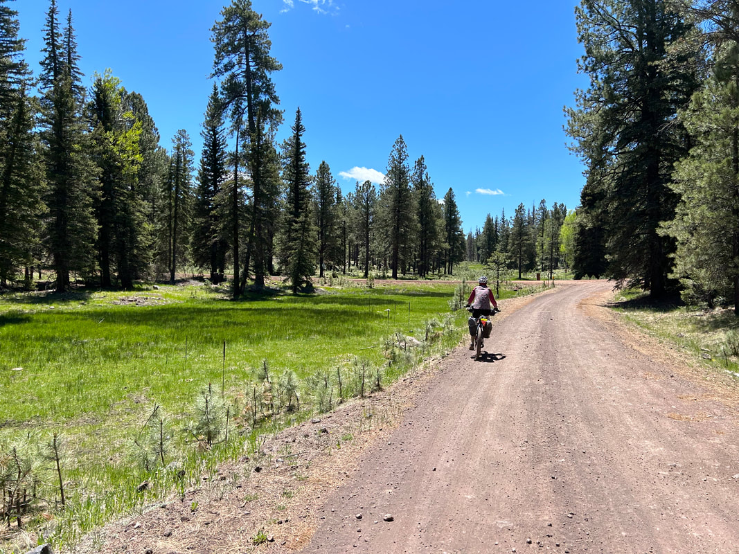
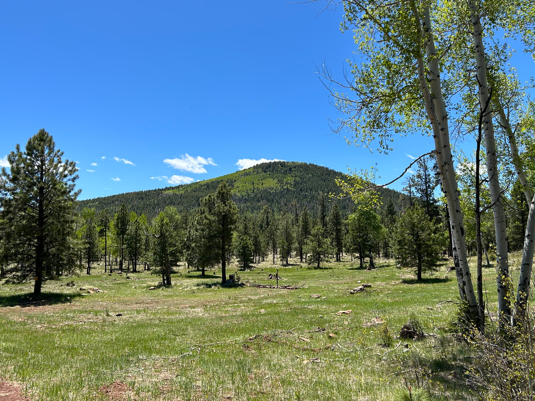
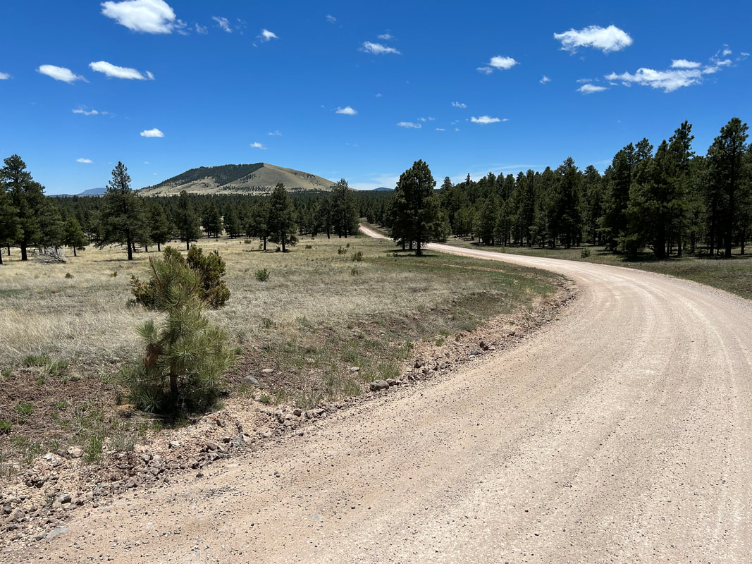
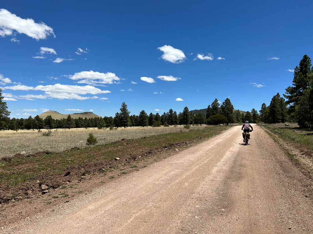
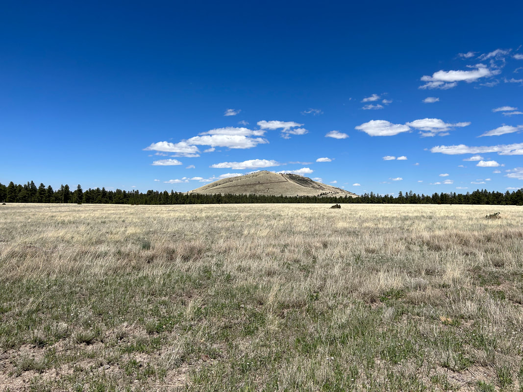
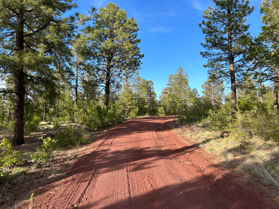
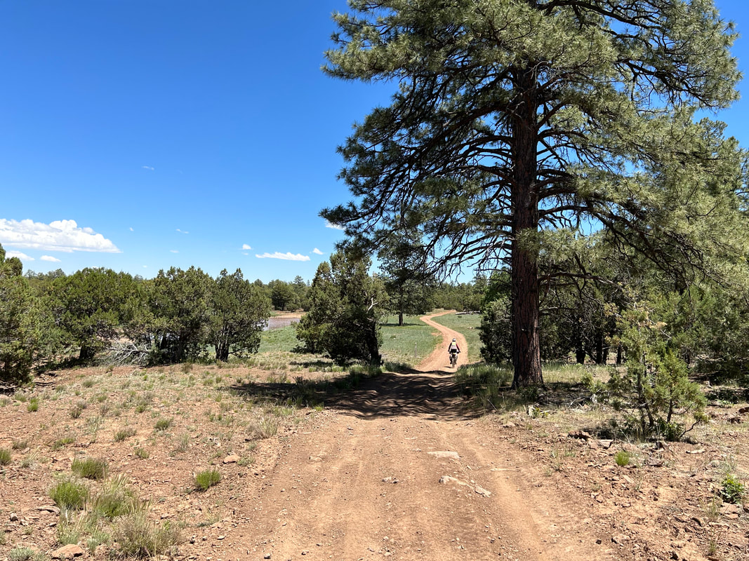
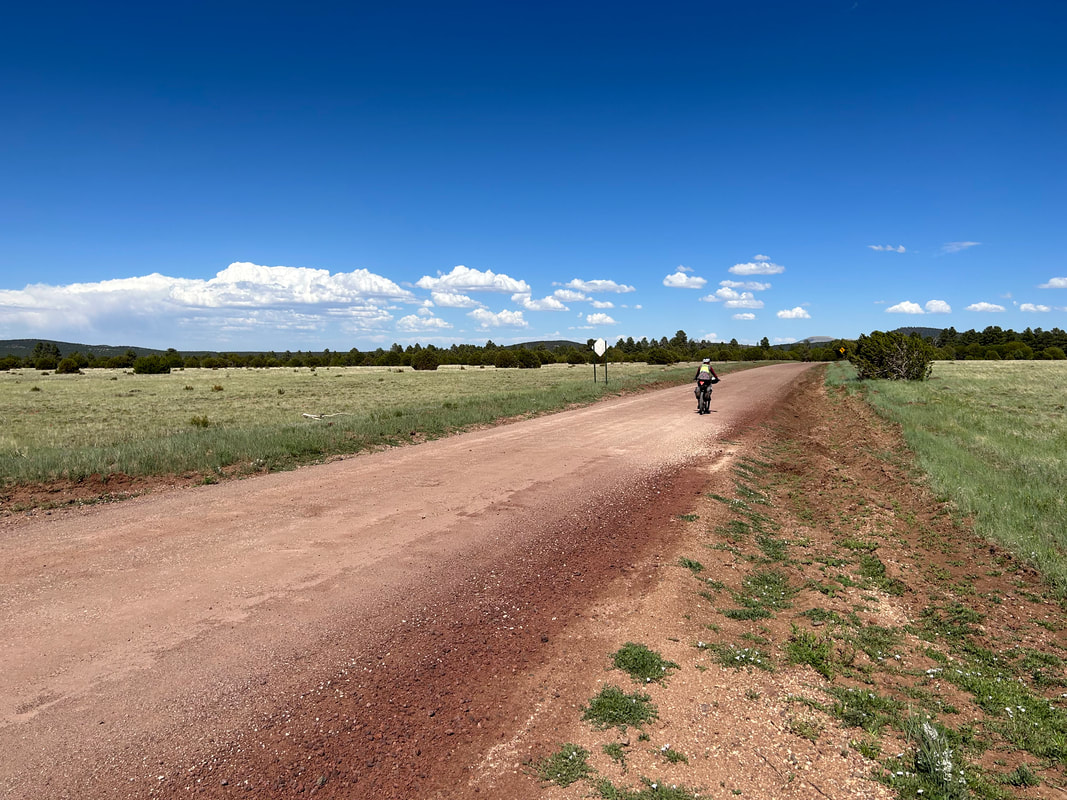
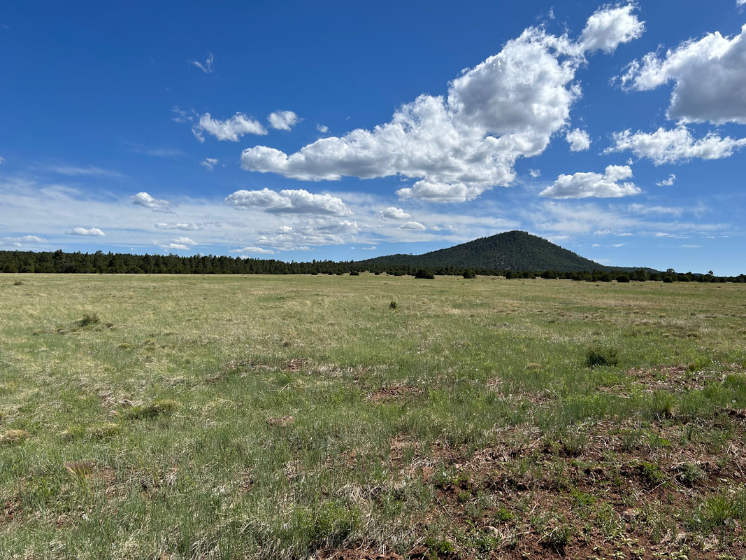
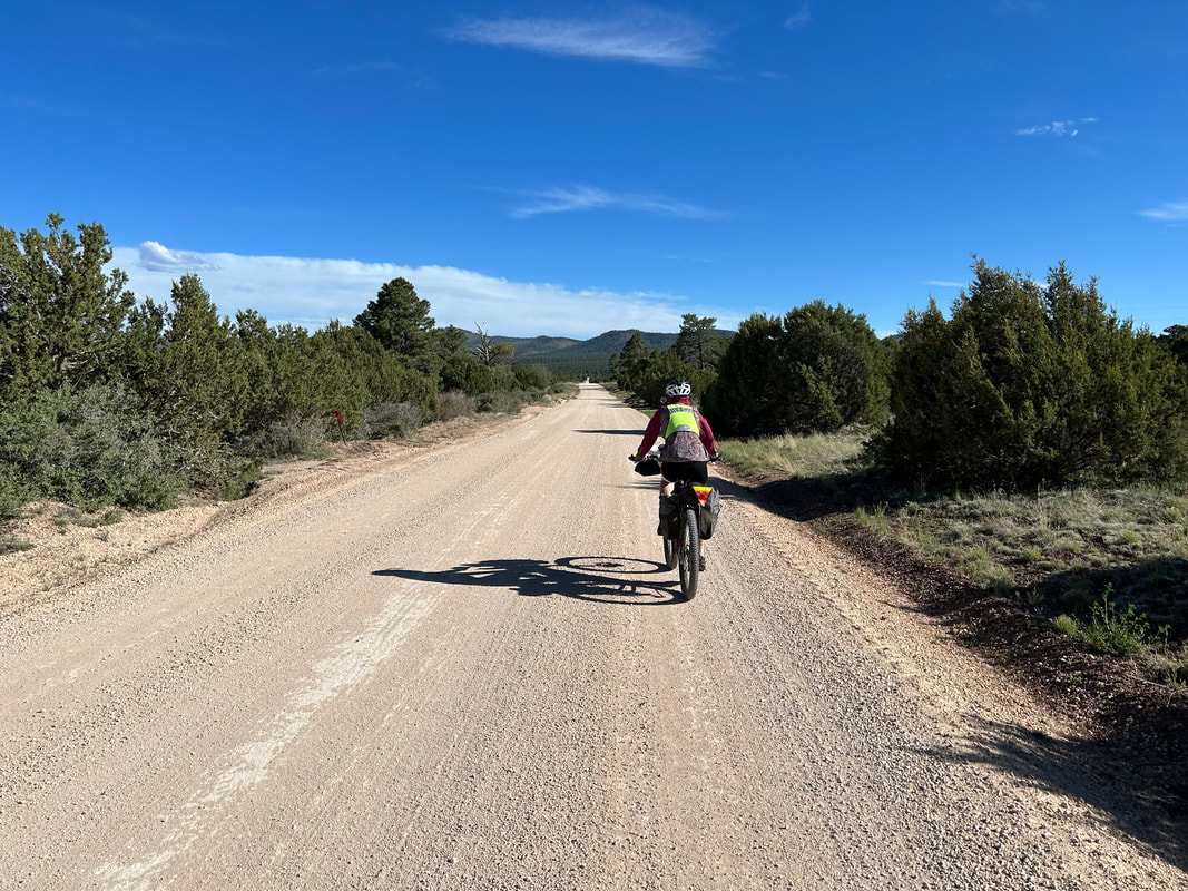
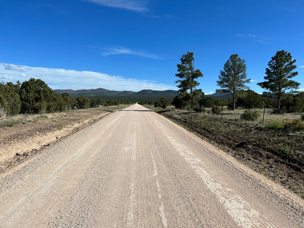
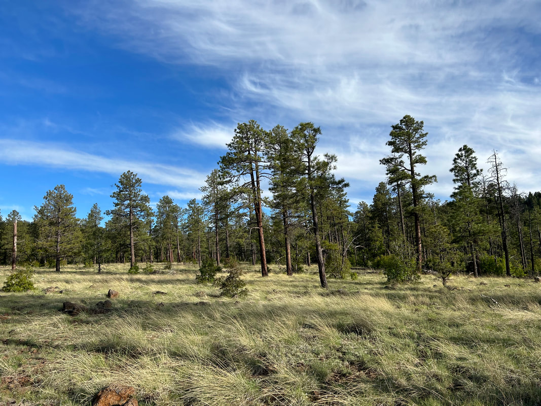
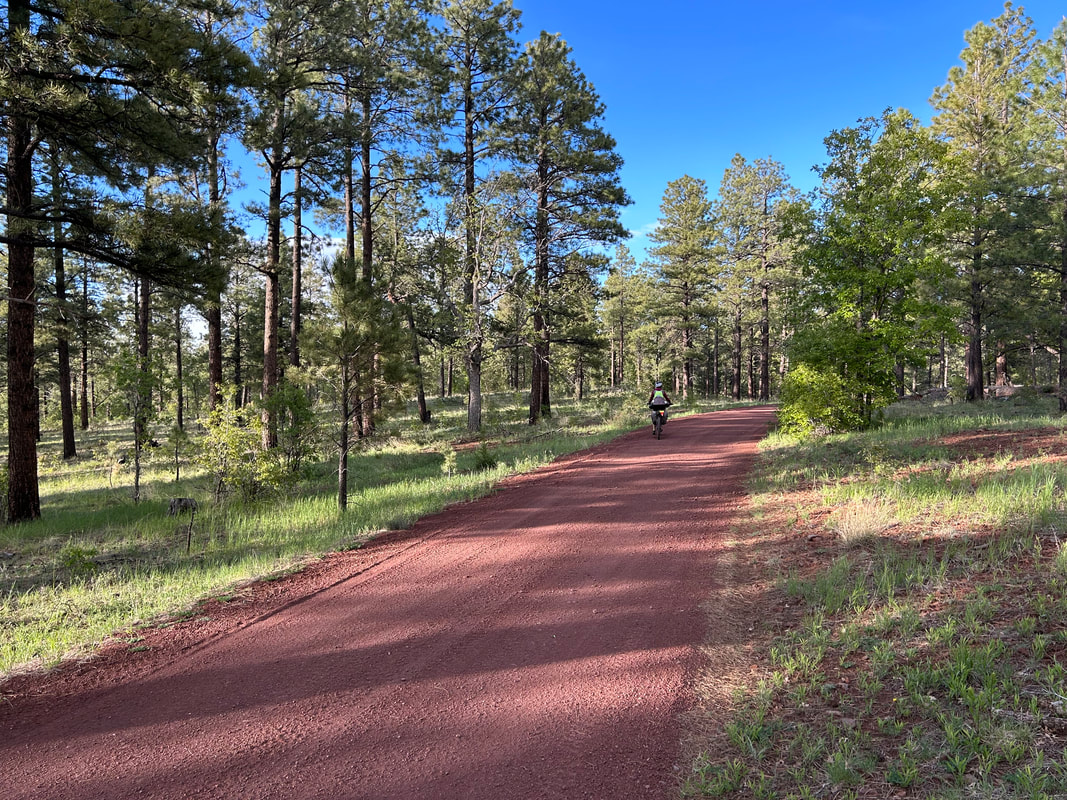
   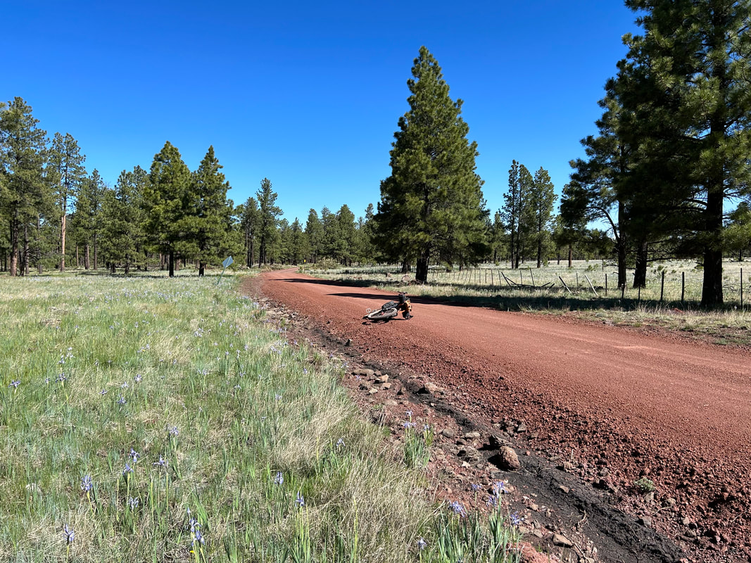 Now, thoroughly two hours into our day, and having only traveled like a mile, I pulled myself away from the flower fields to gain some ground. We still had some solid elevation to gain for the today as we came over the top of the mountains and spun towards Greer. The red cinder road continued on but began a slow transition to ochre brown. And that summer Arizona heat kept building. Granted, the ambient air temperature was relatively low, but the high altitude and direct solar intensity made it feel much hotter in the sun. But midday, we stopped in the shade of several ponderosa pines as we wrapped near Whiting Sawmill area. And with a jaunt around the base of the mountain and a slow climb, the tree diversity began to change. Instead of ponderosa dominance, stands of young, and then mature aspen began to pop up. Firs and spruce sprinkled the forest with the elevation gain. A yellow-green algae-coated cattle tank/spring popped up the woods. I left my bike to hike down to it and was greeted by a chorus of frogs sounding their calls resolutely in the heat of the day. Meadows great into fields, and treelines stood back from where grazing, fire, and lingering-moist soil claimed ground. We turned onto a white gravel road where a sudden clumping of nice homes set back in the trees lay. The road began a steep ascent upwards and several groups of trucks passed us. Rounding the curve at the top, I could see off into New Mexico, and I caught my first glimpse of Escudilla Mountain. We spun down the other side of the cinder-cone hill and were again greeted by a seasonal creek whose drainage was chock full of irises. More and more grass-covered cinder cones and iris-filled drainages appeared in gaps in the woods. It was absolutely gorgeous.
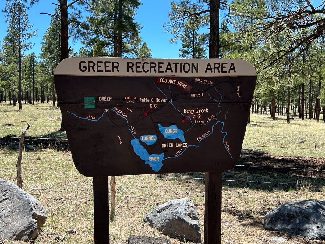
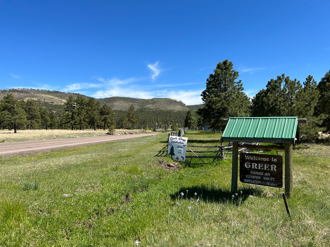
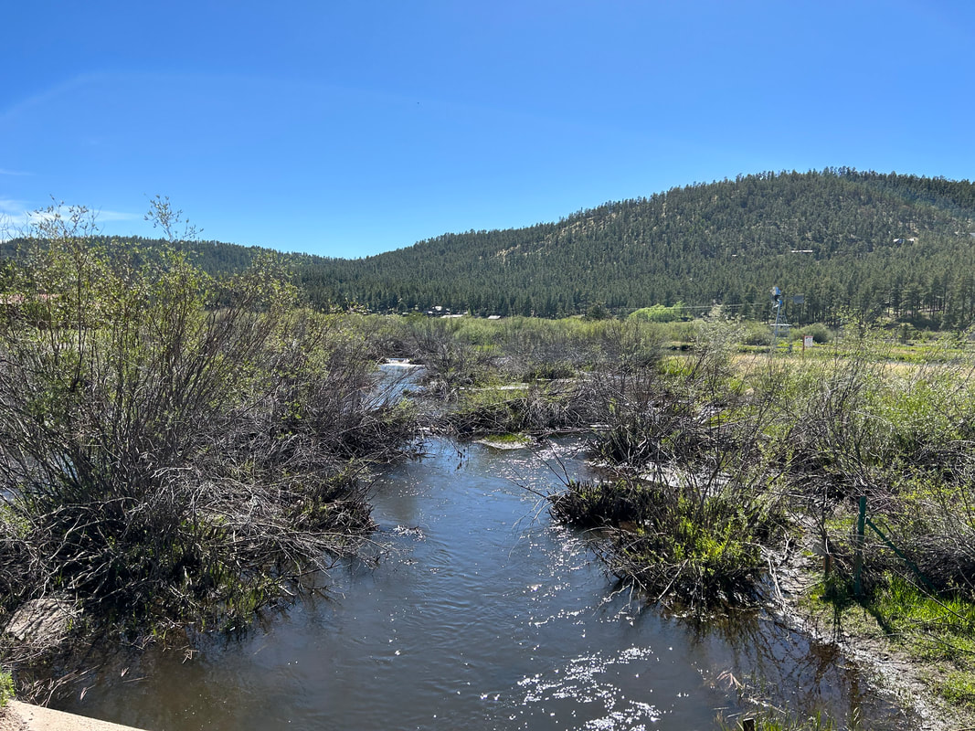
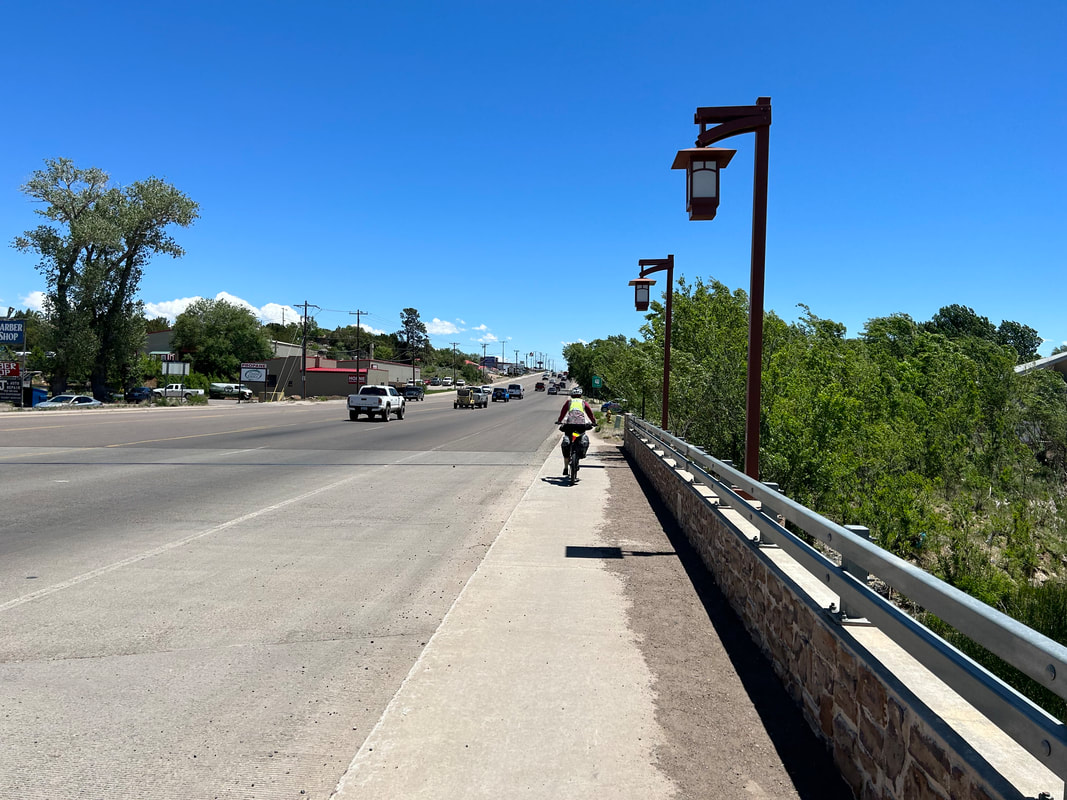
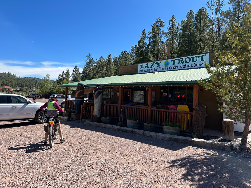
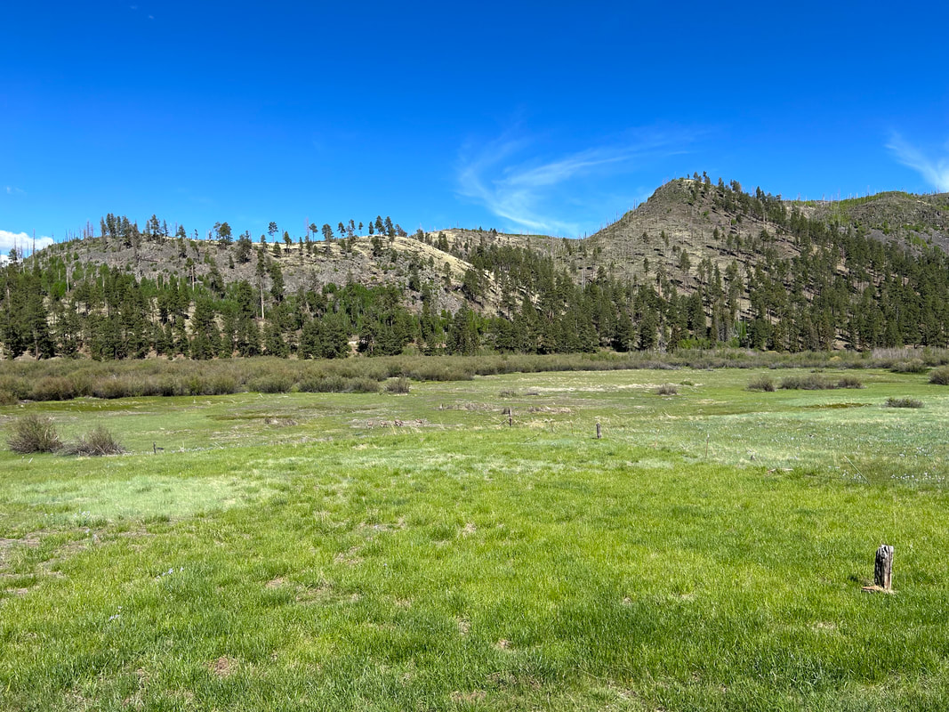
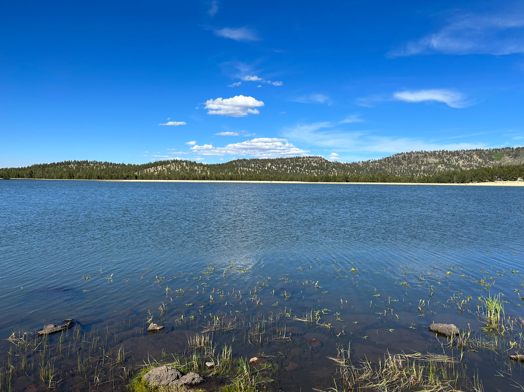
    And just like that, we plopped out on the main highway leading to Springerville from Pinetop. We quickly turned off the main paved road onto a side paved road leading to Greer. Now, houses and cabins began really springing up along with more dirt dams and small ponds. We entered the Greer Recreation Area and went to check into our campsite at the Rolfe C. Hoyer Campground. It turned out that this campground was super nice and head warm, unlimited showers included. We stopped to setup our shelter and deposit some gear before jumping back on the road to ride to downtown Greer. We first stopped at the Lazy Trout Market, which had an excellent selection of food. After grabbing some fresh fruit and eating it on the porch (plus resupplying for tomorrow's ride), we headed further down the road to the main thoroughfare. The Little Colorado River pooled and flowed through the Greer Valley. It was lined with riparian trees and filled with countless active beaver dams. We had just enough reception at the Market to determine that there was a pizza place open. We pulled in, ordered a vegetarian pizza, and relaxed in the shade of the building while charging our electronics while we waited. We ate the pizza and then pushed off back to our campground. But first, I wanted to ride over to Bunch Reservoir to catch a glimpse of the lake in the afternoon sun. Lots of families were picnicking and fishing in the gentle late afternoon temperatures. Janna and I hopped back on our bikes and went to our campground. After locking them up, we got first choice at the showers. The water was well-pressurized and hot - perfect after two days of riding. Warm and clean, we walked back to camp for a late-evening snack before turning in for the night. 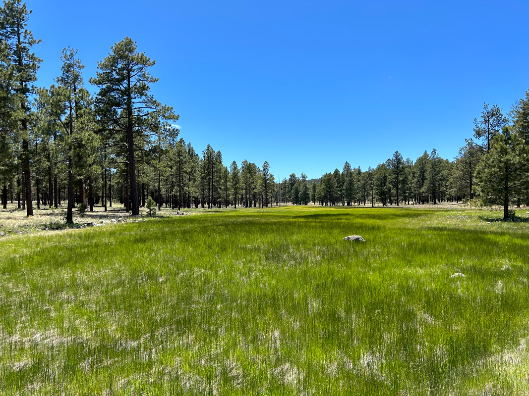
0 Comments
40.61 Miles; 2,966 Feet of Gain; Show Low, AZ to near Brady Park in the Apache-Sitgreaves NF
It's been on my goal list for sometime now to link together all my favorite places in the White Mountains of eastern Arizona. Cool, elevated, gushing with streams and aspens, home to the Mexican Gray Wolf (El Lobo), and often overlooked, these "Alps of Arizona" have served as a biking and hiking location for me for years. Janna and I would head up to Big Lake with mountain bikes in tow nearly every Labor Day with Darren. I'd spend summer weeks camped at Hannagan Meadow Campground each night in order to spend my days wander-cycling around all the dirt roads and pockets of spur doubletrack I could find. And I'd dream of hearing or seeing a wolf.
A couple of years ago, I began to think of taking my favorite spots and a few new-to-me areas in the heart of El Lobo territory and connecting them in a bikepacking route. I poured over Apache-Sitgreaves National Forest maps, analyzed some Ride with GPS + Strava heatmaps, talked to some friends and acquaintances in Show Low/Pinetop, and combined that with my riding to design a preliminary route that highlighted the White Mountains and sprawled about El Lobo habitat (to maximize chances of wildlife viewing). I was all set to ride in fall of 2022 when I contracted COVID-19 for the first time. That effectively nixed that trip. Winter came and the White Mountains snowed-up. I shelved plans for the immediate future and set myself to other projects. Janna and I had planned to ride the North Rim Capes this summer (her first ride on the entire thing) as soon as we got back from visiting my parents in Colorado. But Winter 2022/2023 brought tremendous amounts of snow throughout the southwest. The North Rim ended up getting nearly 300 inches of snow. Roads were eroded, snowed-in, or impassable with fallen trees. The NPS announced that all roads in the area wouldn't be cleared until July 1. Our North Rim Capes ride was cancelled. We scrambled to plan out another route when the El Lobo Lupus jumped to my mind. Although I had originally wanted to ride the route in autumn to maximize the aspen fall colors (I freaking love the White Mountains around Baldy and Escudilla in autumn), an early summer ride the end of May/beginning of June seemed the perfect time to see the new vegetative growth and maximize opportunities for wildflowers. We pivoted plans, and I pulled open the route again. I had originally planned El Lobo Lupus to be a one-way ride that actually went down the Coronado Highway all the way to Clifton. However, I stopped planning that approach once I couldn't find a single tenable option for getting back to our vehicle in a timely/affordable way from that area. I set about keeping the core of the route through the areas I wanted to see but looping it back to a start in Show Low. I reached out to Mike Enfield (a local in Show Low) for his insights on my attempts to loop the route. He gave awesome feedback and insight into the return route which ended up being perfect for keeping mostly to improved dirt roads. Not only that, but his help extended to hospitality to provide us a place to park at his home and a place to shower when finished. Mike and his wife Annette ended up being amazing hosts and fantastic connections who loved to talk about biking and education/schools. At the end of the trip, I asked Mike to become a co-steward of the route which he graciously accepted. The Full Route Guide to El Lobo Lupus is found below - completely tweaked/finalized by Janna and I's full ride. El Lobo Lupus Route Guide
But before I jump to the end, I'll head back to the beginning.
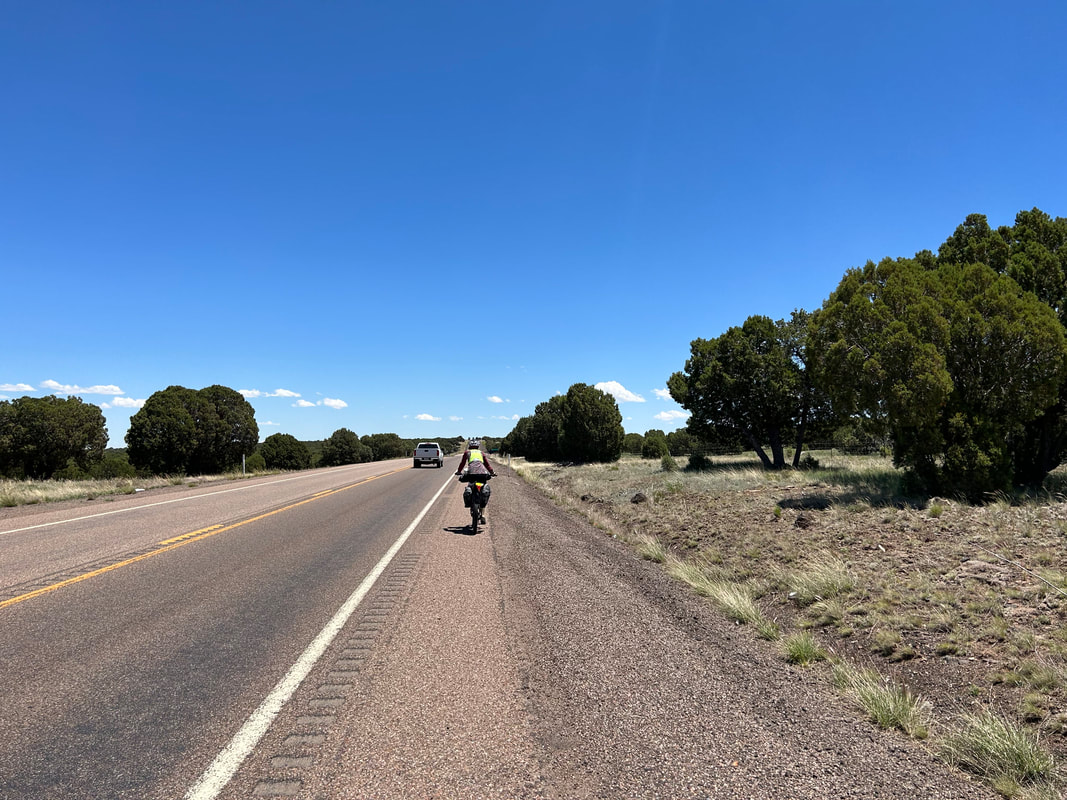
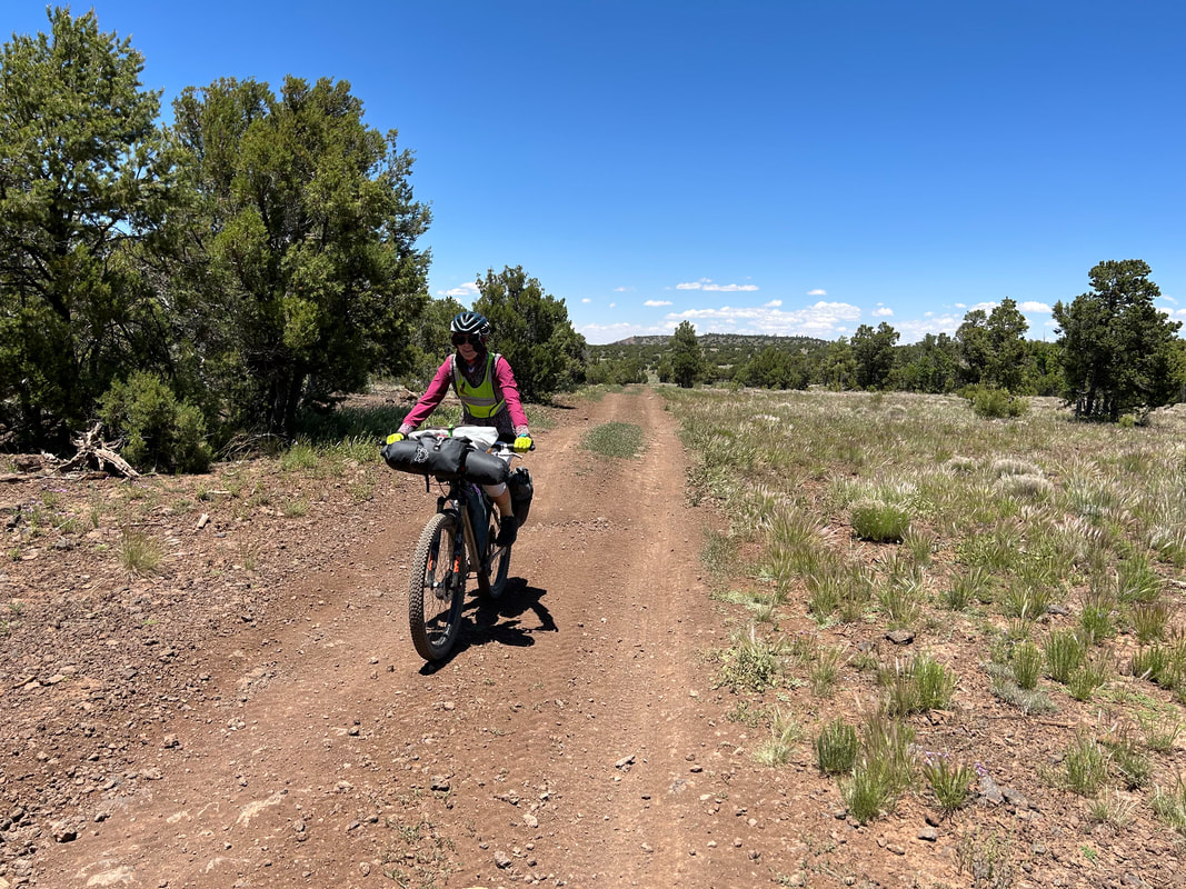
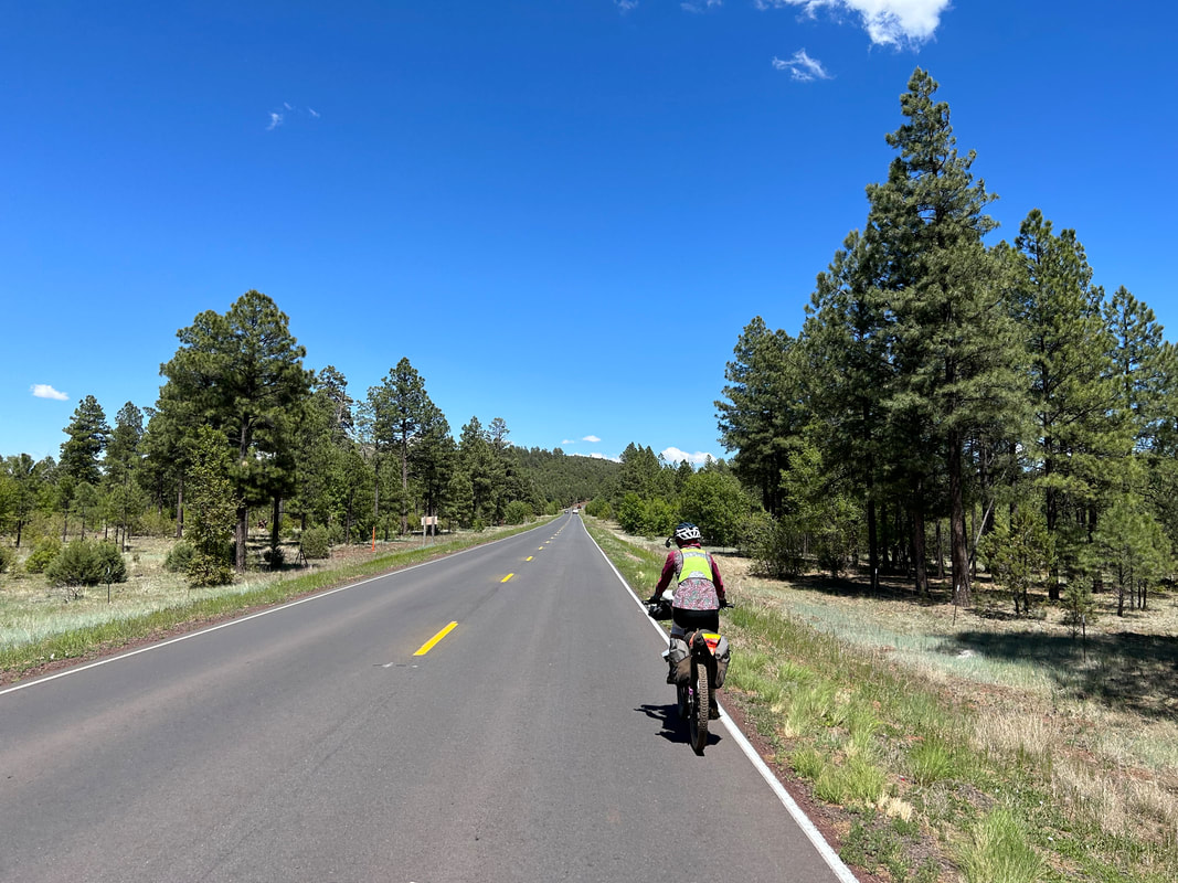
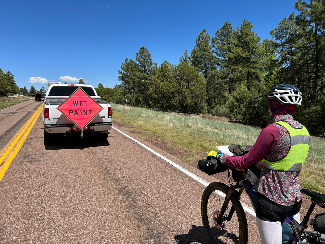
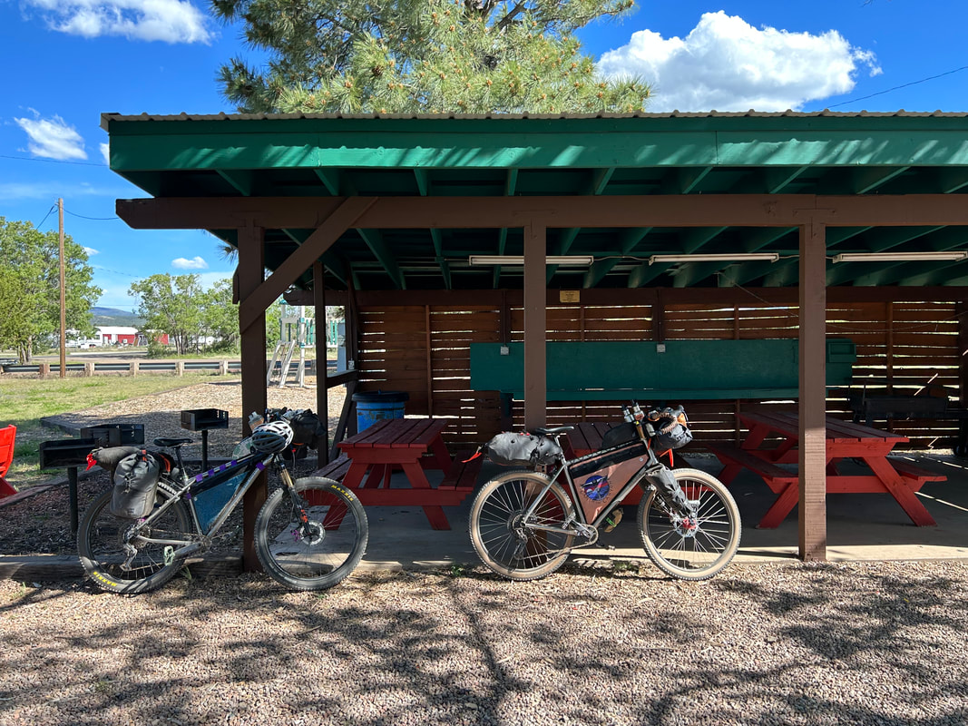
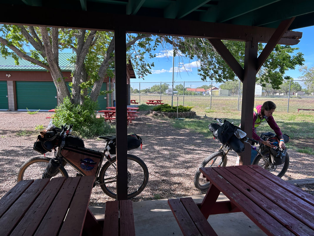
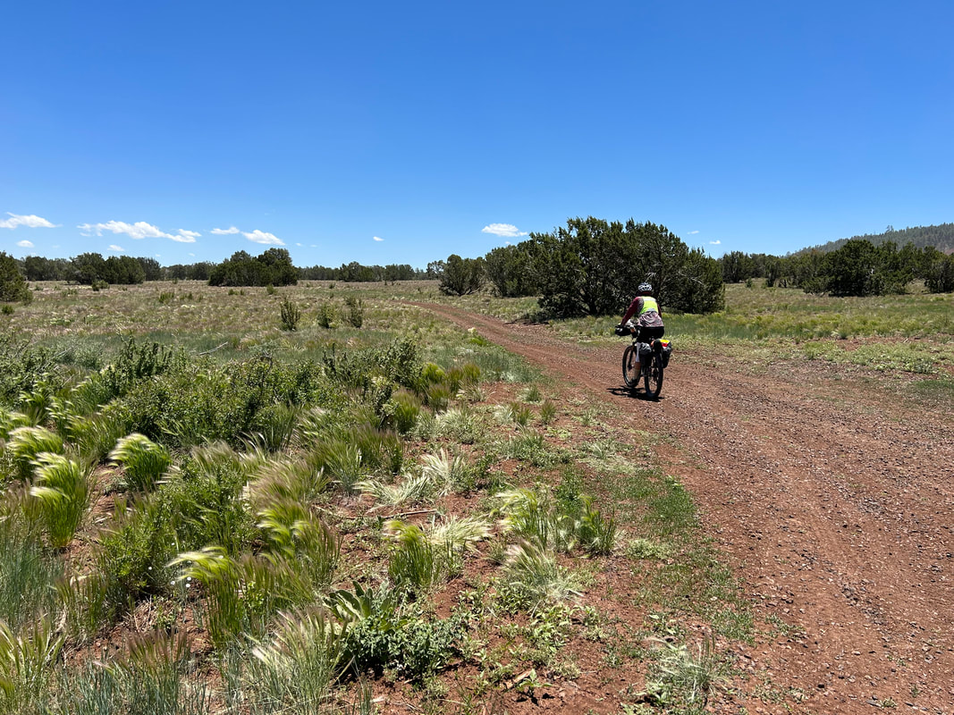
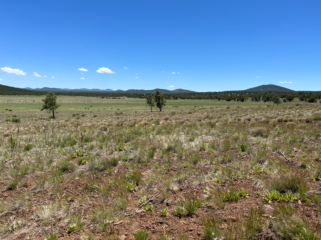
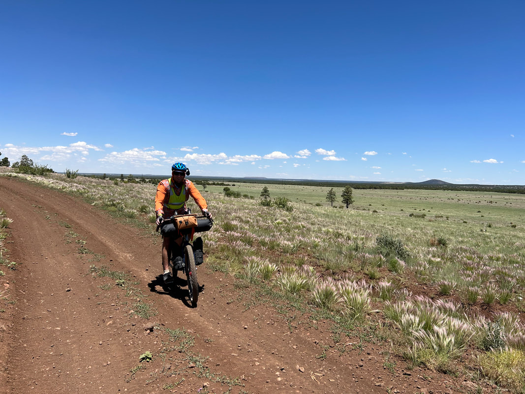
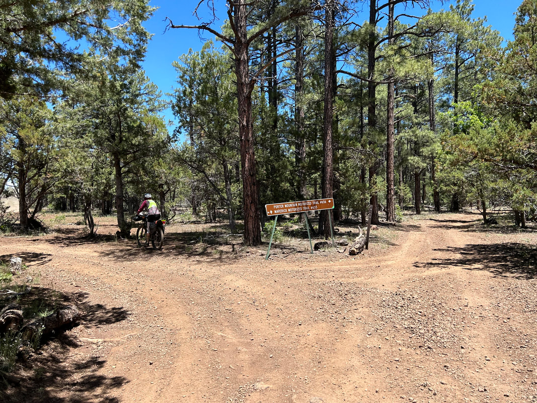
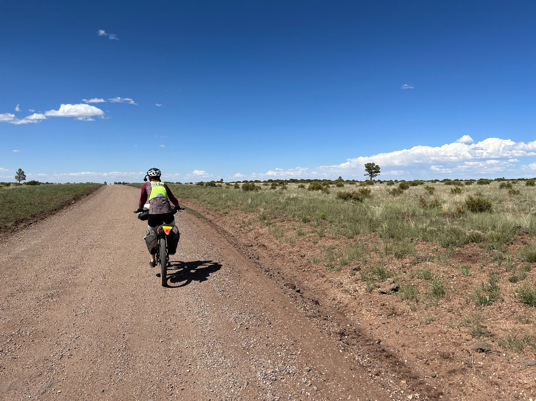
After the trip to visit my parents in Estes Park, CO, Janna and I drove directly to Show Low. We grabbed some cheaper mid-week lodging in Pinetop before waking up and grabbing a big breakfast at Darby's. Post-consumption, we headed back to our room to organize/pack gear, change clothes, and contact Mike about heading over to his place. With that, we were off and pulling up to Mike's house. He and Annette kindly greeted us; the four of us chatted while Janna and I packed up our bikepacking rigs. The morning sun was direct and hot - Janna and I both exchanged nervous glances about how hot the day would get. But thirty minutes later, we were ready to go. We first headed off towards the Show Low Elks building to check-in on the parking since they had so kindly given permission for cyclists to stay there. From there, we rolled downhill and downtown before staying in the sidewalks to ride to the quickening edge of juniper grasslands as the cityscape faded back. Janna and I rode along the shoulder of the highway (great shoulder for bikes) for a couple of miles. Eventually, our turn onto an OHV trail around Porter Mountain arrived. I undid the cowboy fence and we were officially off-pavement. The OHV path was in great shape, not too tutted at all. All around us white flowers pushed up in the red-brown soil, interspersed between luscious jumbles of verdant grass with tassel-heads whipping in the breeze. The grasslands became populated with junipers, pinyons, and ponderosas before long. I couldn't get over how green the vegetation was around Porter Mountain. The heat of the day continued, so we took a midday lunch in the shade of the forest. After the reprieve of shadow, we dashed down the OHV doubletrack and arrived out on fairly quiet pavement. My original plan was to only stay on the pavement for a short bit before turning towards Greer. However, Mike had advised us to stay on the pavement longer to get a great water resupply (the only surely reliable one on this west-east portion between Show Low and Greer) in the town of Vernon. Taking his advice, we climbed up the highway and down towards Vernon. We stopped for a bit while highway crews applied paint to the lines on the road; they let us pass them so we sped down towards elevation 6,000 feet and the heat of juniper-grasslands in the summer. Vernon turned out to be a cool and beautiful little town with a community park replete with a sheltered ramada, picnic tables, a water pump, and charging stations. Everyone we passed in a car waved. It buoyed us to have friendly drivers.
It was a great place to take a break, charge our electronics, and fill out water on this hot day. At 4 PM, we headed south out of town and began ascending up into the thick heart of the Apache-Sitgreaves National Forest. A battalion of hot shot vehicles came from the opposite direction where a lightning-caused burn was slowly creeping through the pines. Luckily, we turned east and away from the burn.
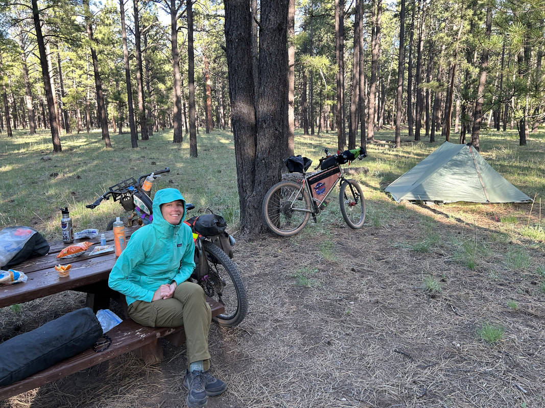
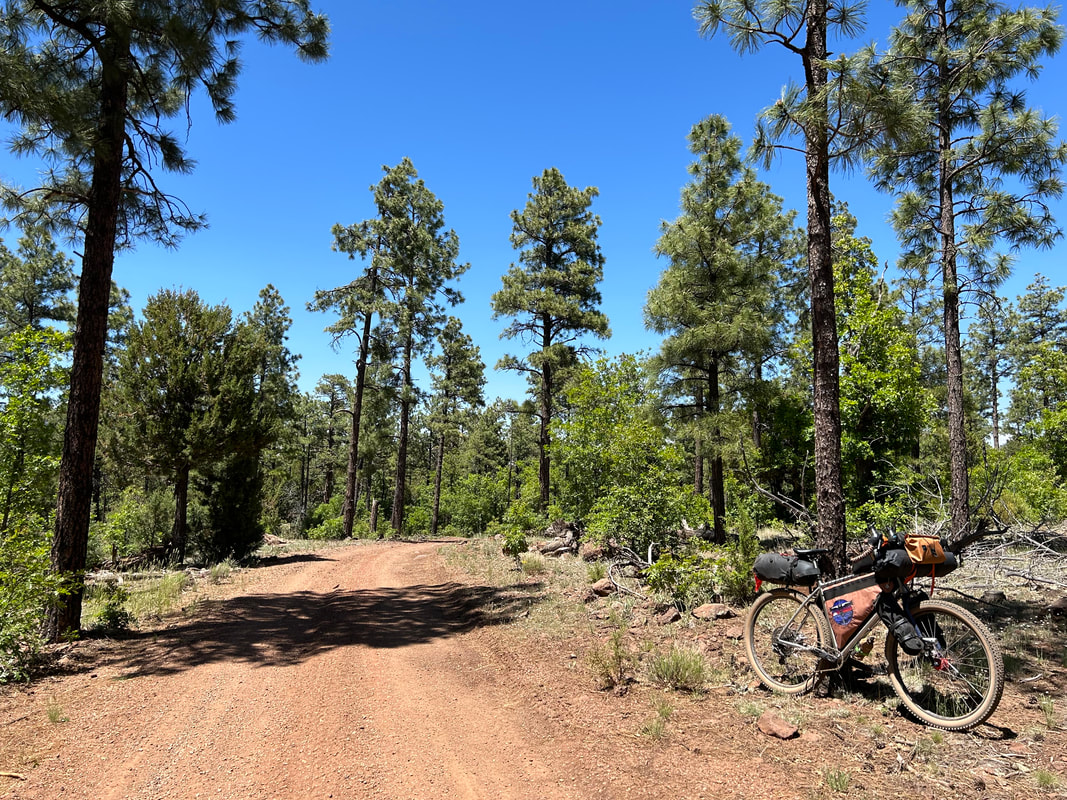
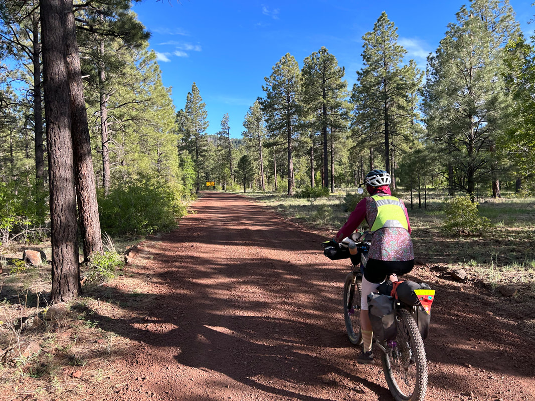
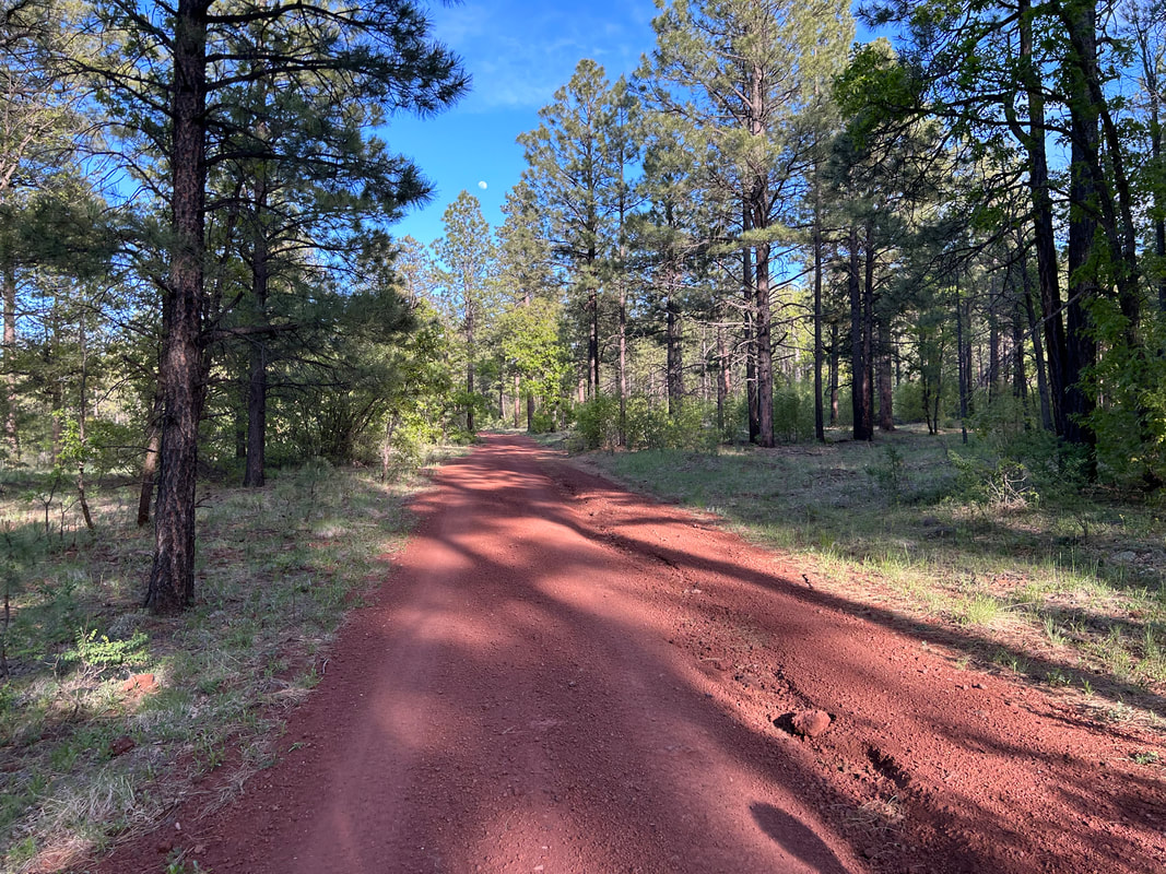
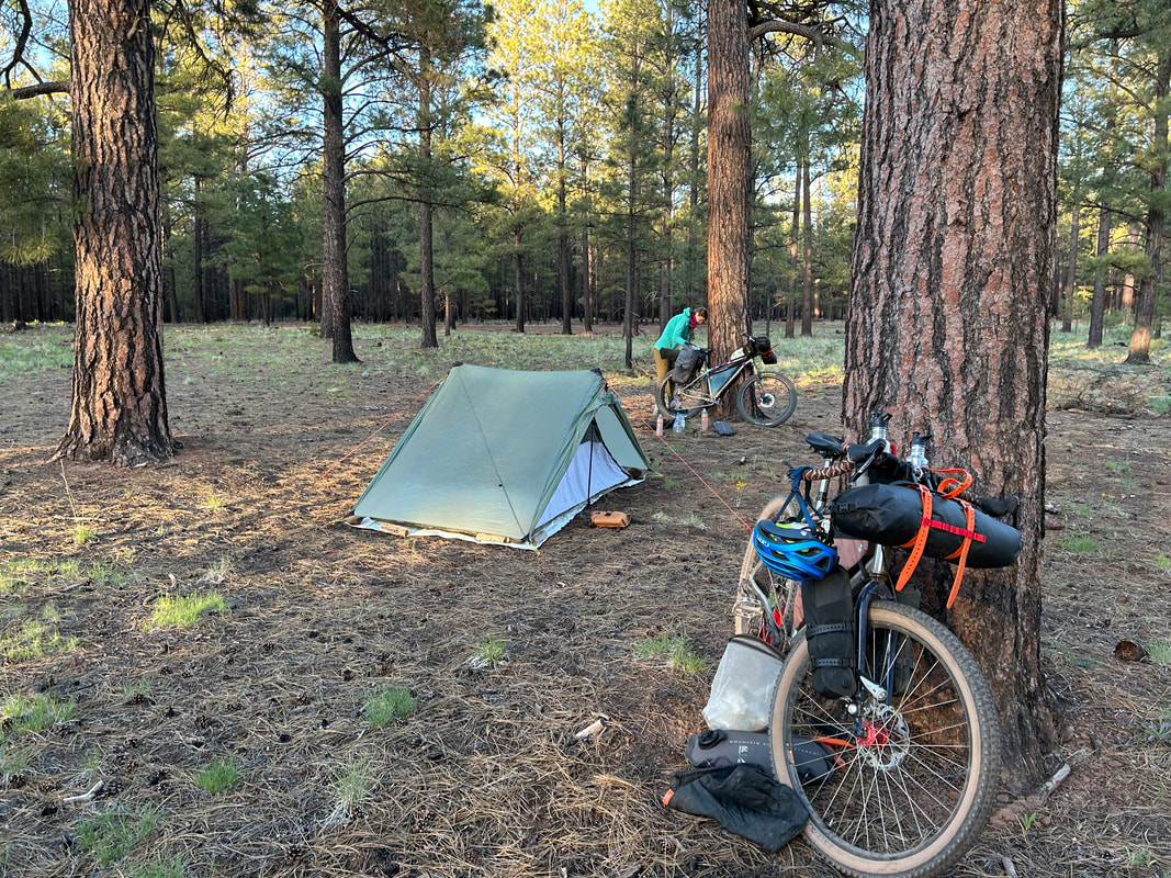
The dirt road that started quickly became a gorgeous red cinder. It was absolutely beautiful and was a complimentary contrast to the evergreens overhead. As the slanted light of late afternoon came, the sun's rays just lit up the forest and the red-cinder road with bursts of color. We passed by some large fenced marshes that invigorated me with their presence of water and bursting biodiversity. The sun continued to head towards the horizon when we pulled off near at a large flat expanse in the ponderosa pines. We setup the Eolus on a bed of pine needles and took our slow time eating dinner and talking about life. It had been barely a week since summer break started and the feeling of unlimited opportunities lay on our lips. We watched the sun's rays blink out as twilight came craftily around us. We crawled into the shelter as the air crisped up for a solid night's sleep.
|