|
37.90 Miles; West Entrance of Kofa National Wildlife Refuge to King Road
Winter has been fecund with snow and rain this year. The South Rim has received well over 100 inches of snow; Janna and I talked with someone who's worked here for over forty years and he said this is the snowiest winter he's seen since 1986. Subsequently, we've been dreaming of warm temps and dry bike riding. Janna and I planned on doing the Stagecoach 400 for Spring Break, which I rode last year during amazing temperatures, to get some SoCal sun, mountains, and ocean. And then the week before Spring Break, another notable atmospheric river came off the coast to settle over the Southwest and bring massive inches of snow and thunderous rain. Idyllwild got caked in powder. The National Forest Service closed roads that were too muddy and trails that were too icy. San Diego looked to be doused in a week of consistent rain and mid-50s temperatures. All conditions the opposite of what we wanted. Mere days before break, we decided to quickly switch plans and find a route drier (we were still expecting rain - but intermittent) and warmer.
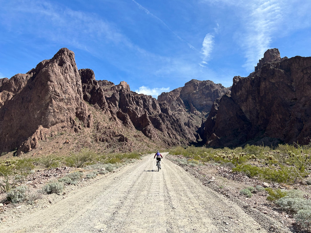
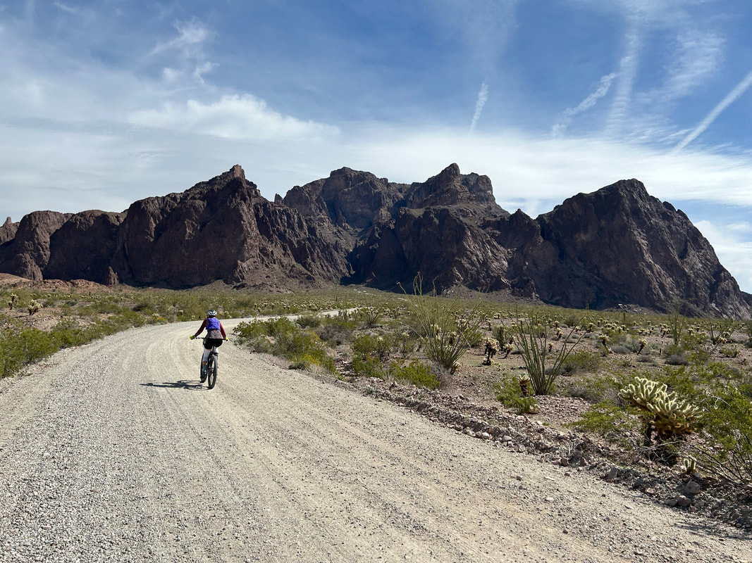
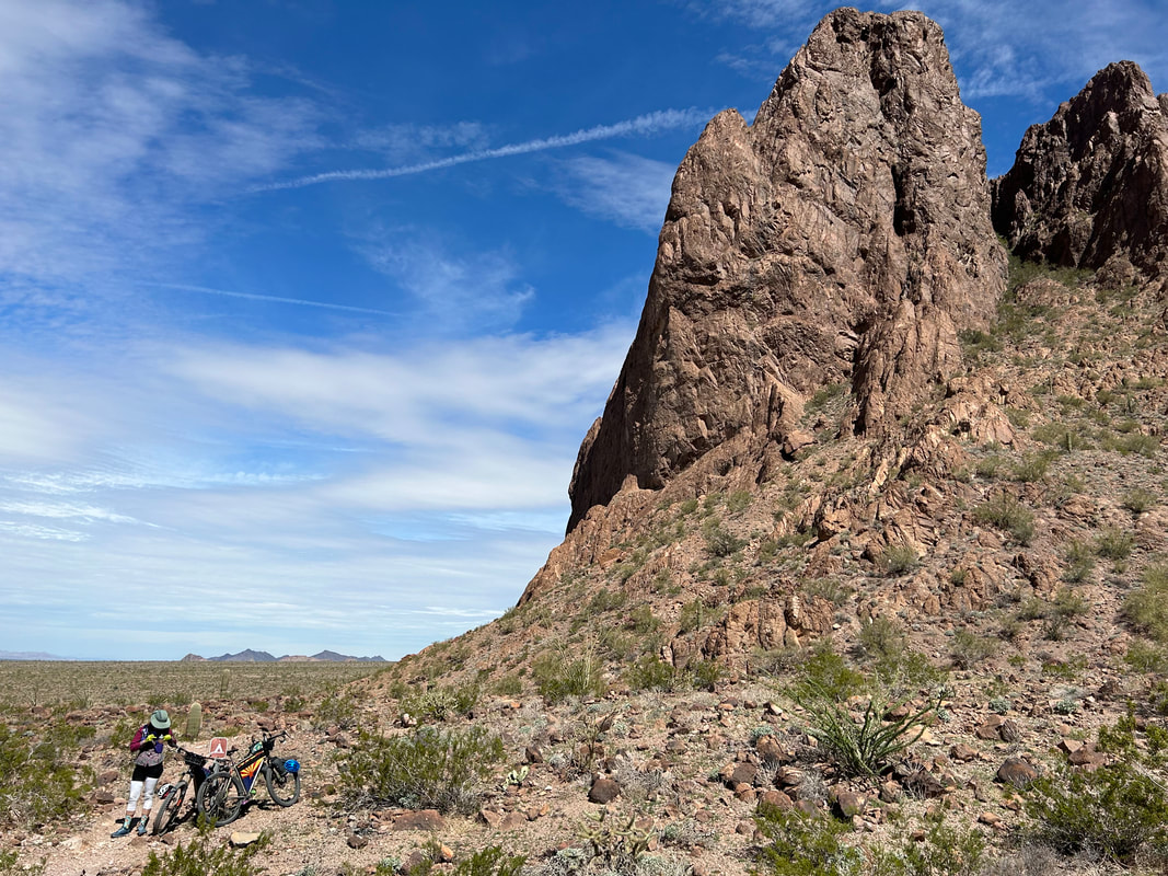
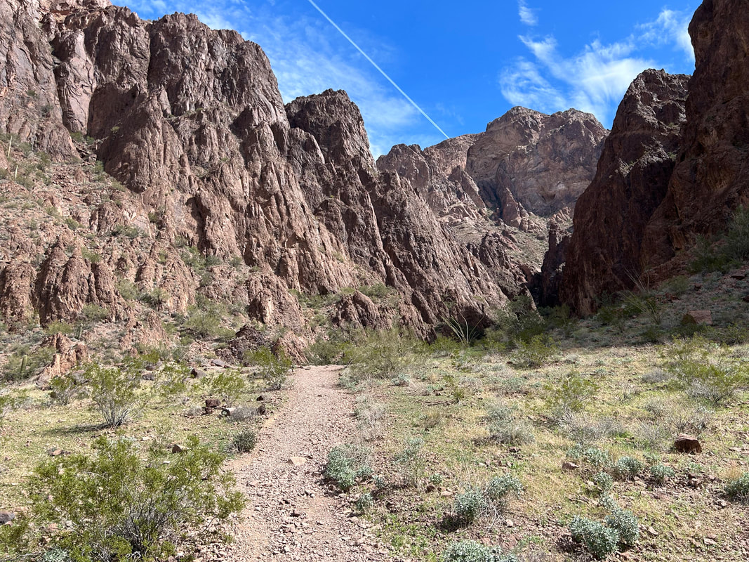
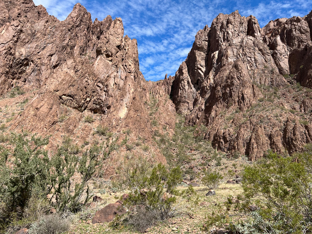
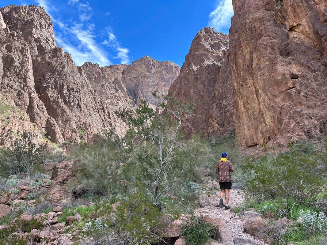
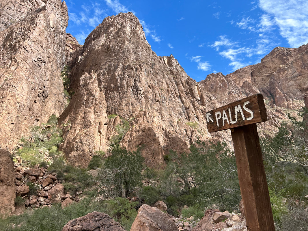
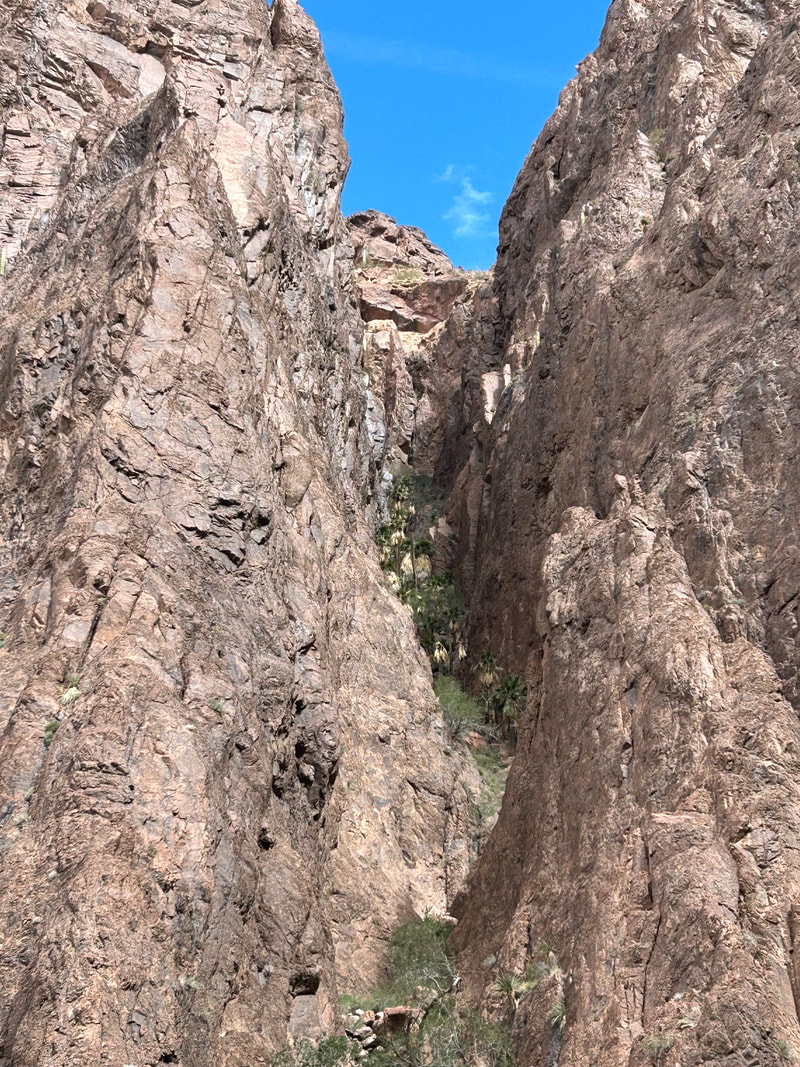
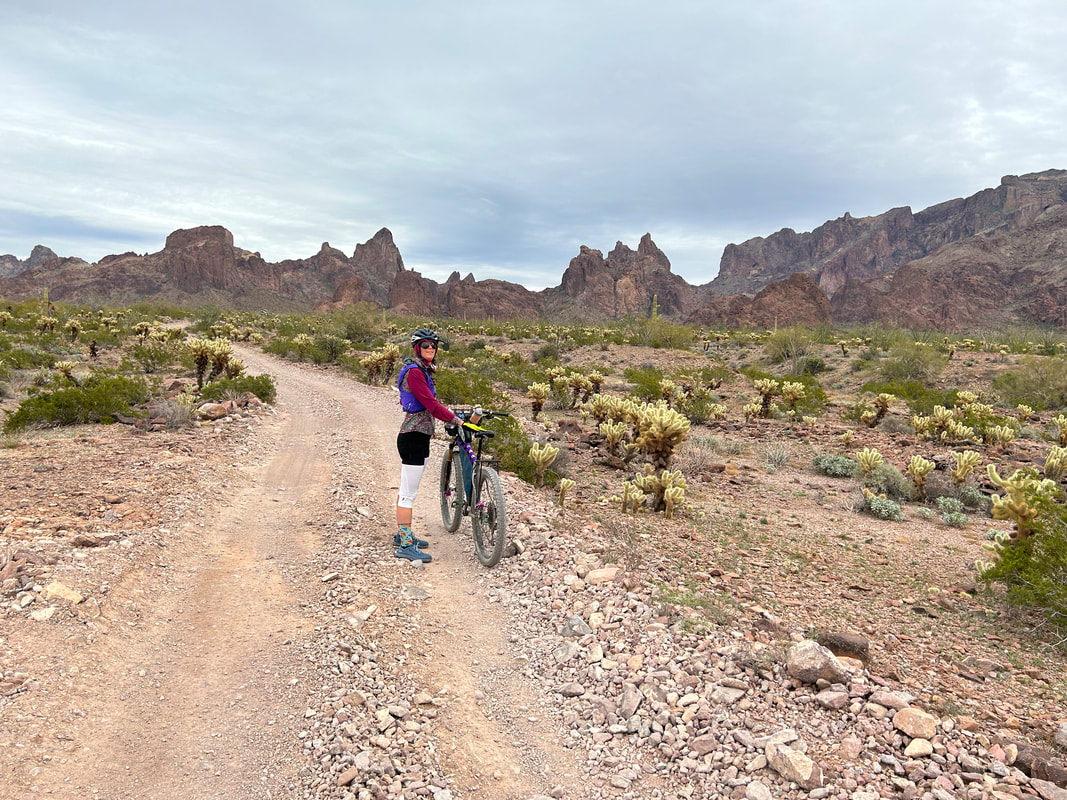
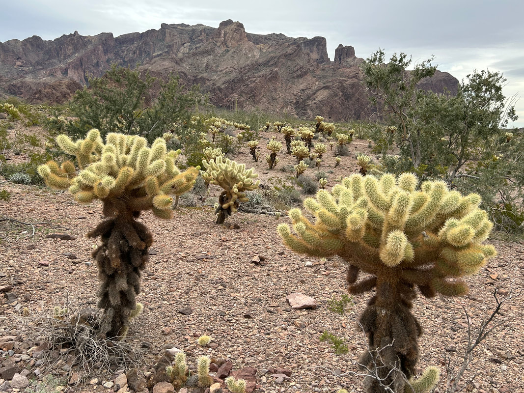
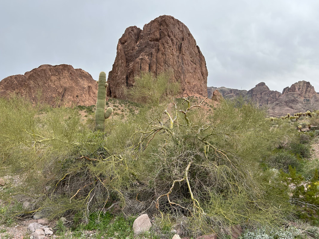
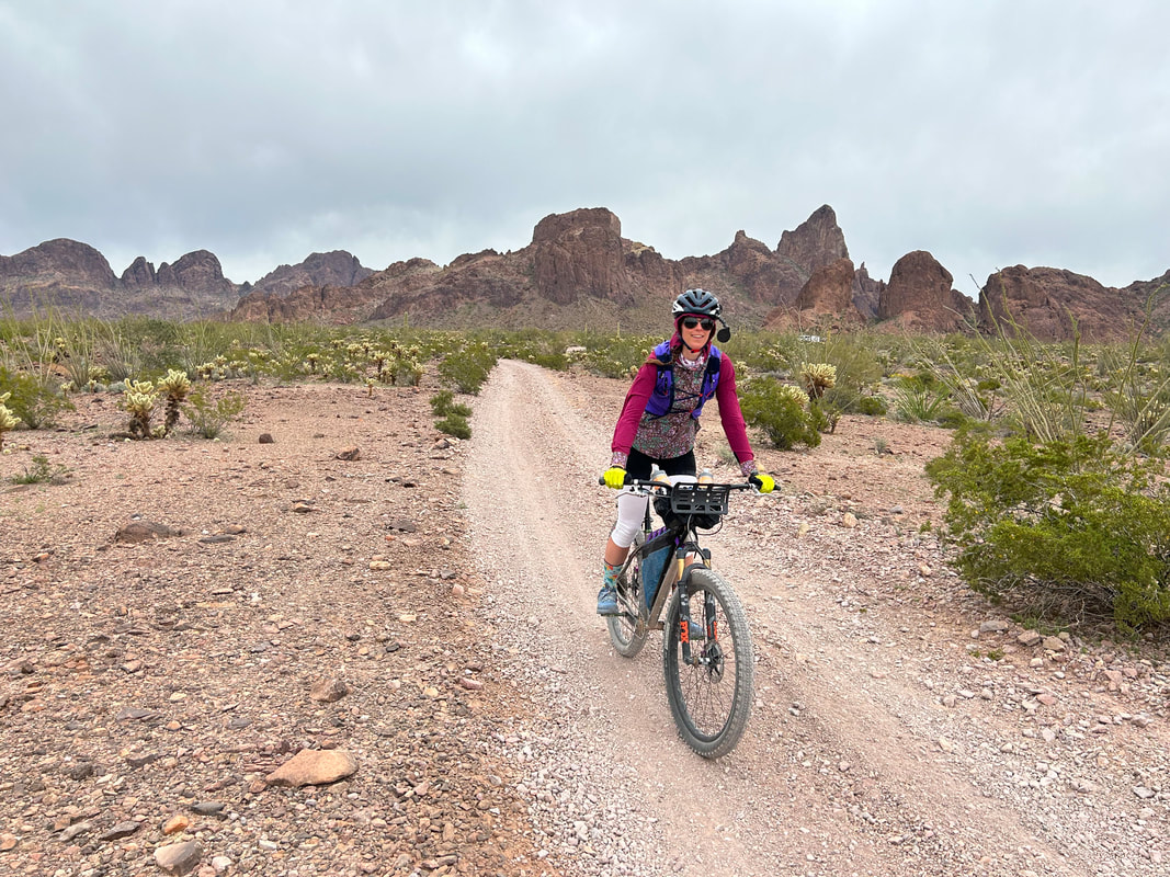
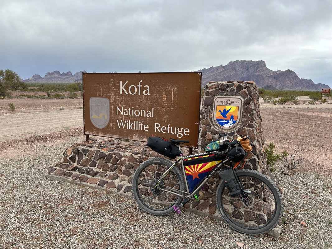
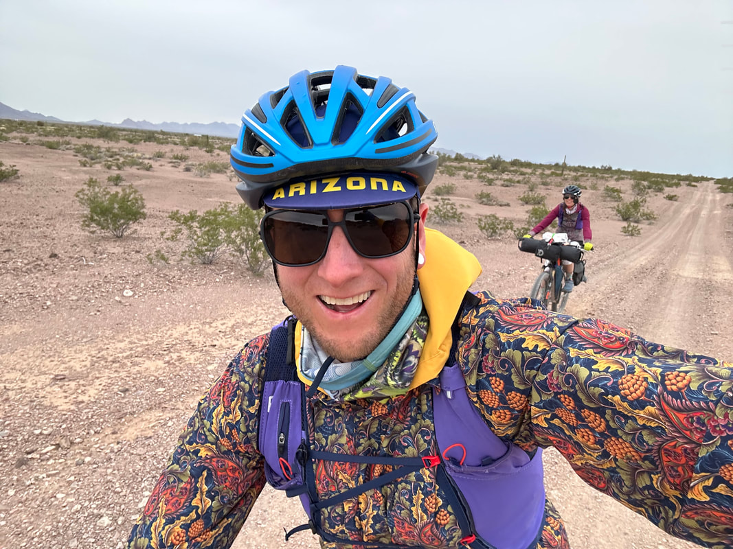
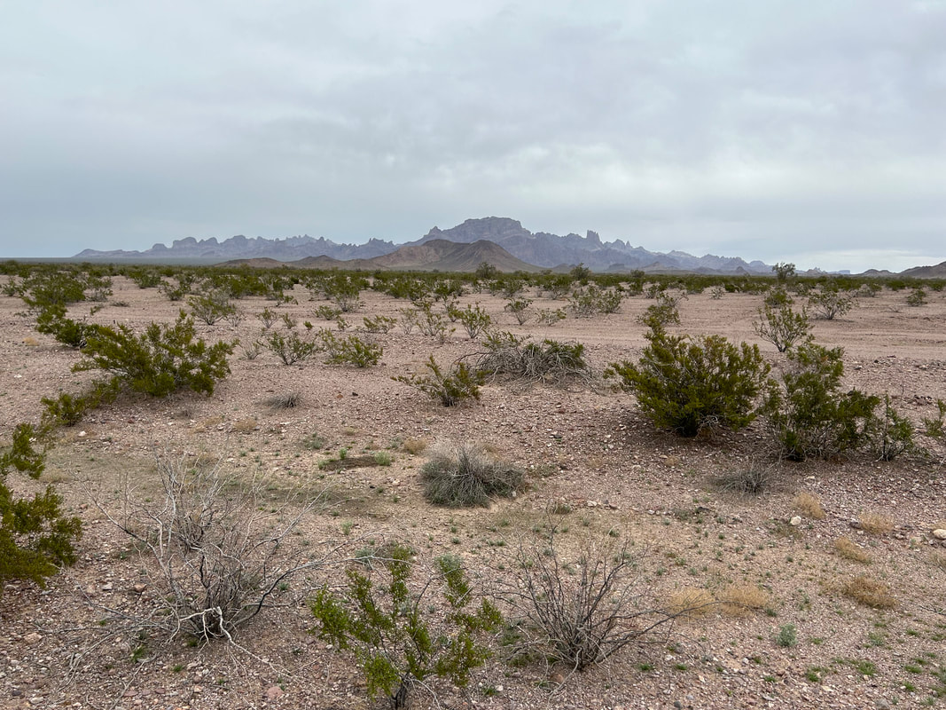
Kurt Refsnider had reached out to me after our El Camino del Diablo trip and had encouraged me to check out A Kofa National Wildlife Refuge Bikepacking Tour. He had made the route in Kofa National Wildlife Refuge and said it was a gorgeous Sonoran spread with good water, no cows, pretty remote, and awesome mountain scenery. I had put it on my short list but thought it might be out this season. Instead, with that winter storm coming, going to just north of Yuma seemed like a perfect time to ride the long version of the route. The temperatures looked to be mid-70s and partly cloudy with a chance of rain at times. Janna and I agreed to switch itineraries and so we headed to southwestern Arizona. We arrived at the western start and terminus of the route around 10 am. The hosts at the entrance to Kofa National Wildlife Refuge took our questions and happily invited us to safely leave our vehicle right next to them. We could see in the west the dramatic squall line of grey cumulus and windy wisps stretching their fingers our way; we needed to get moving before the storms arrived. Kurt did an excellent job making two versions of the route: a long and short. We opted for the long including the side rides out-and-back from canyons and additional hikes. I'd long wanted to see the namesake trees of Palm Canyon. The forty-odd palms here are California fan palms - the only native palms in the only original stand in the state. All other palm trees in Arizona are introduced and purposefully cultivated. I wanted to catch a glimpse up the narrow rock-shelf side-canyon where they grew while the light was strong, the sky blue, and the angle of Sun perfect for looking at them. We biked up to the sprawling jagged rock range before parking our rigs outside the Wilderness Area. A short hike in the heat of the day brought us to the foot of the trees, gorgeously framed by the heart of extinct volcanoes.
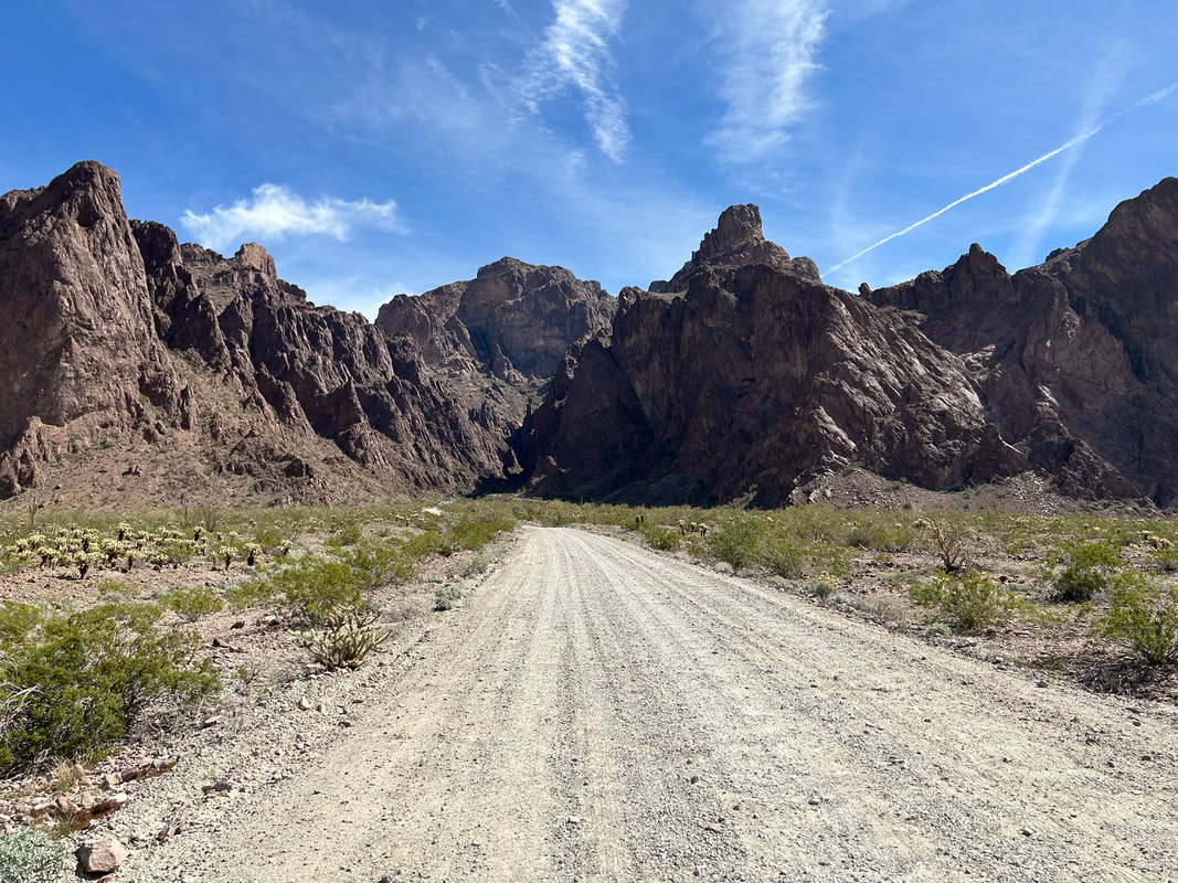
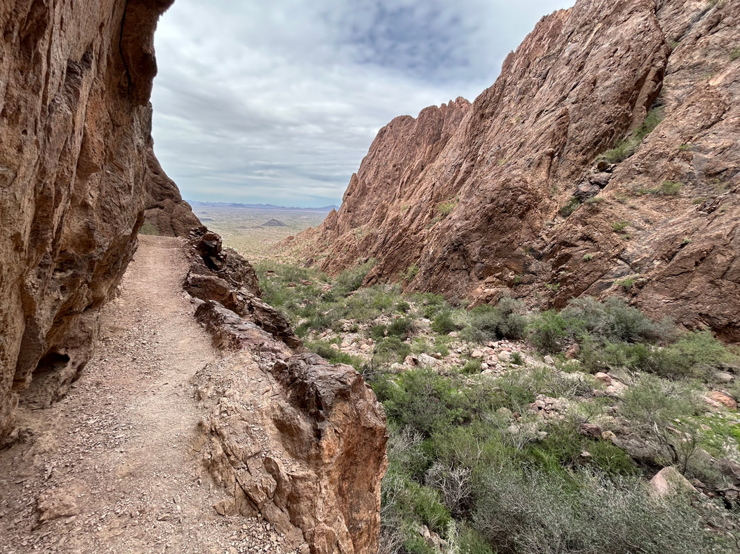
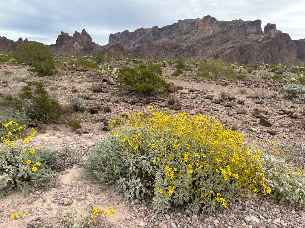
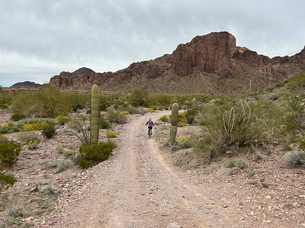
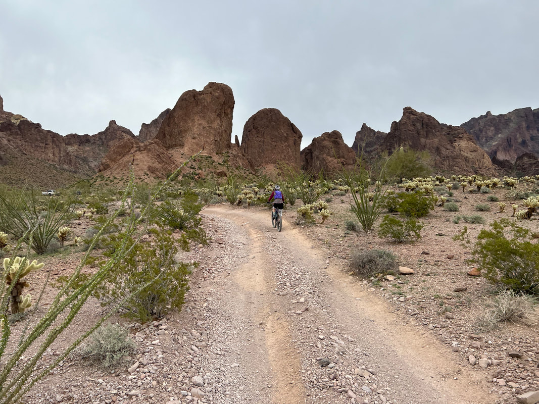
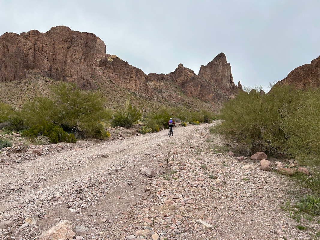
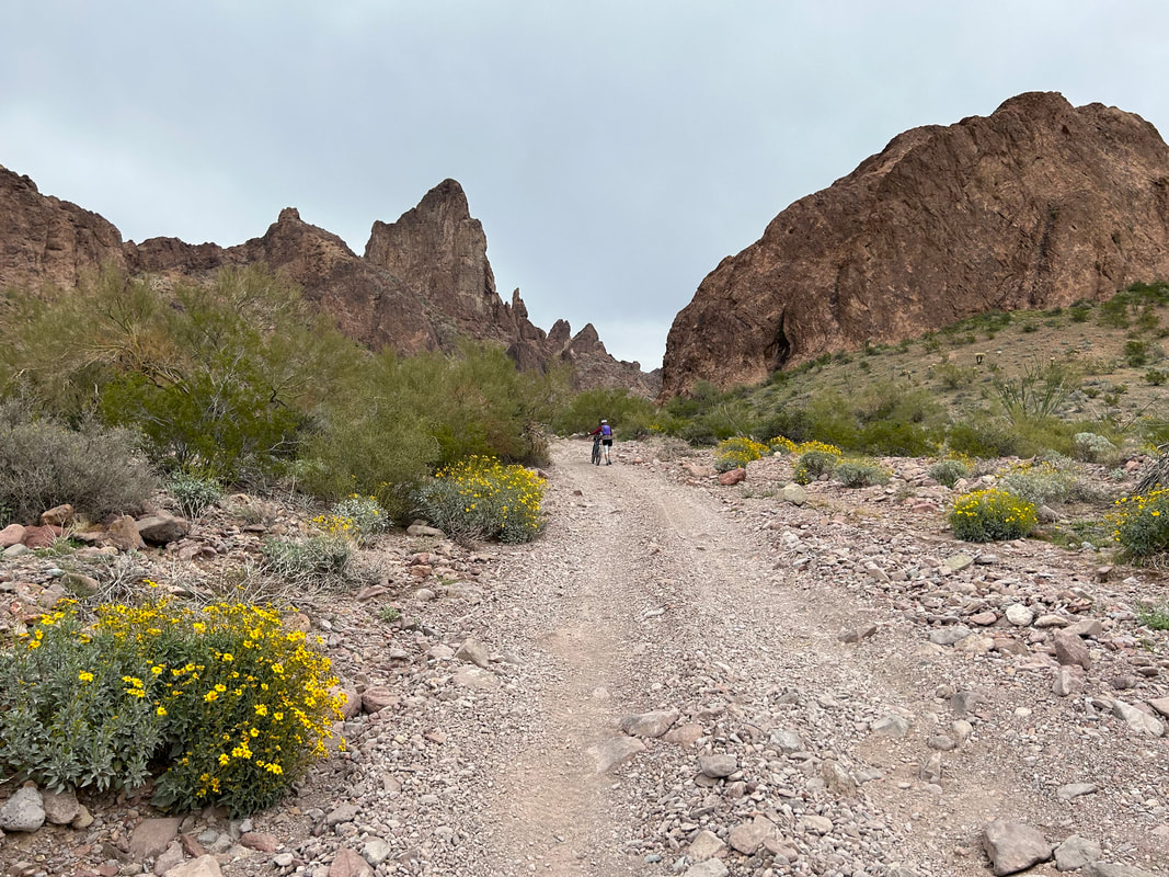
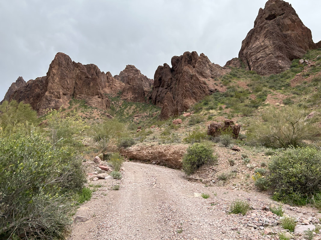
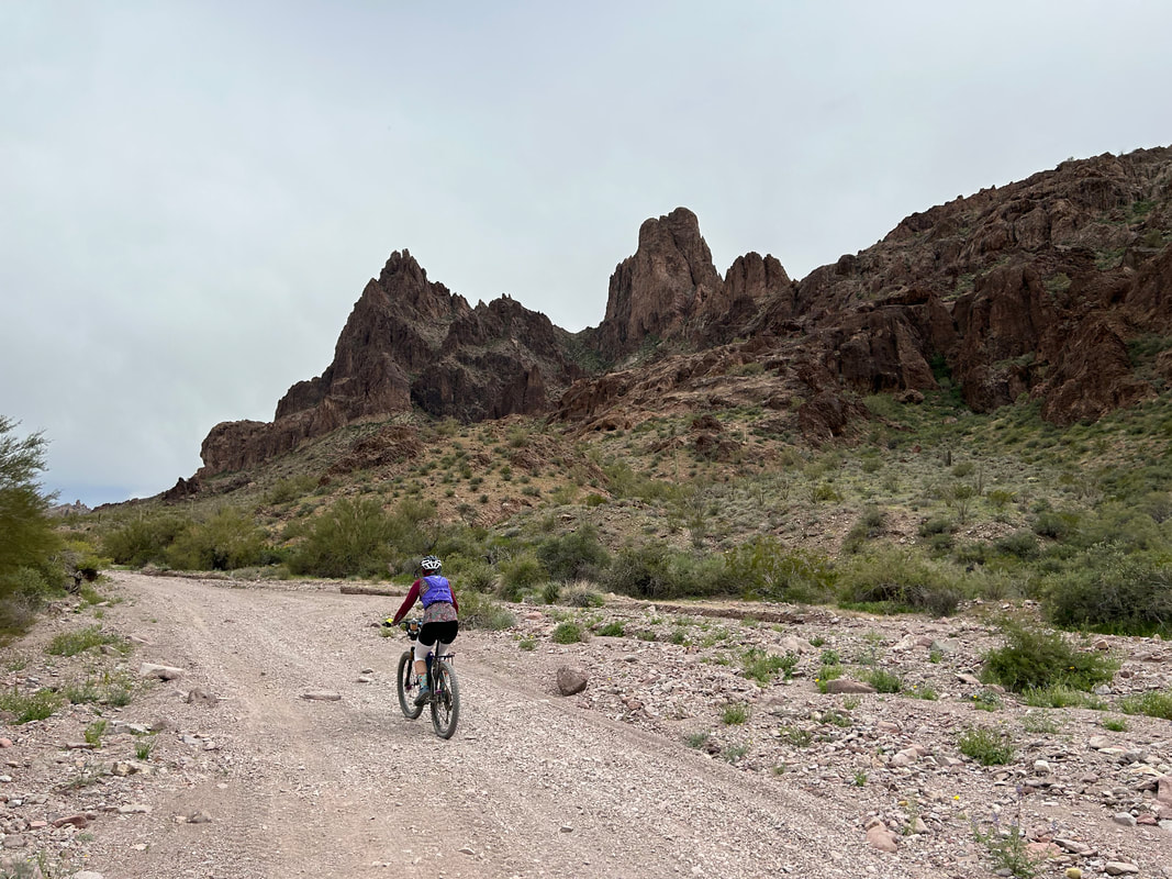
I hiked further up the canyon before turning around and catching the view of skies swaddled gray-monotone as the last blue slipped away behind us. We pedaled back down to our vehicle then headed north up Kofa Queen Canyon in an attempt to climb Signal Peak. But the storm rapidly advanced and the patter of light rain was soon on our backs. We rode up the canyon regardless which was beautiful and reminded me of the Superstition Mountains outside east Phoenix where I had spent loads of time backpacking and hiking. Brittlebush bloomed yellow along the wash of the road. Towards the end of the road and start of the hike we realized that the possibility of rain and thunder were possible, so we skipped the climb to the summit vowing to return in the winter for some more biking and mandatory summit hiking.
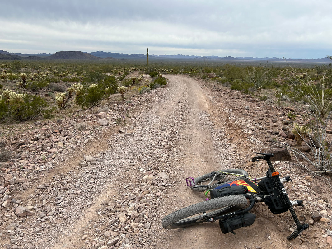
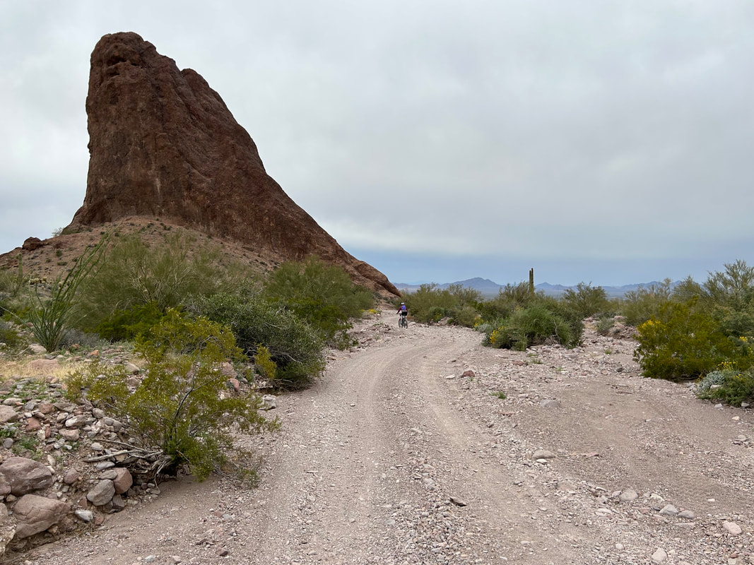
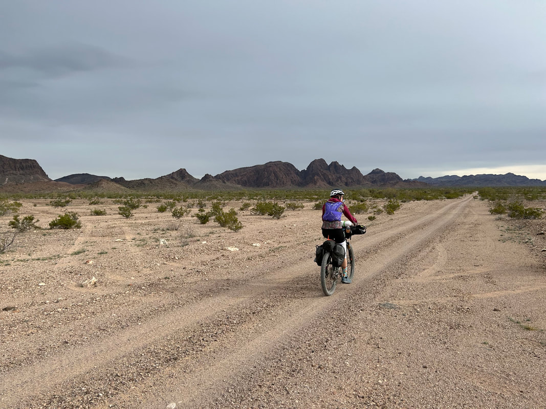
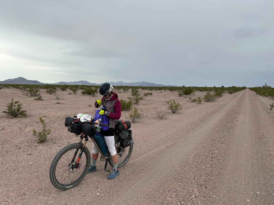
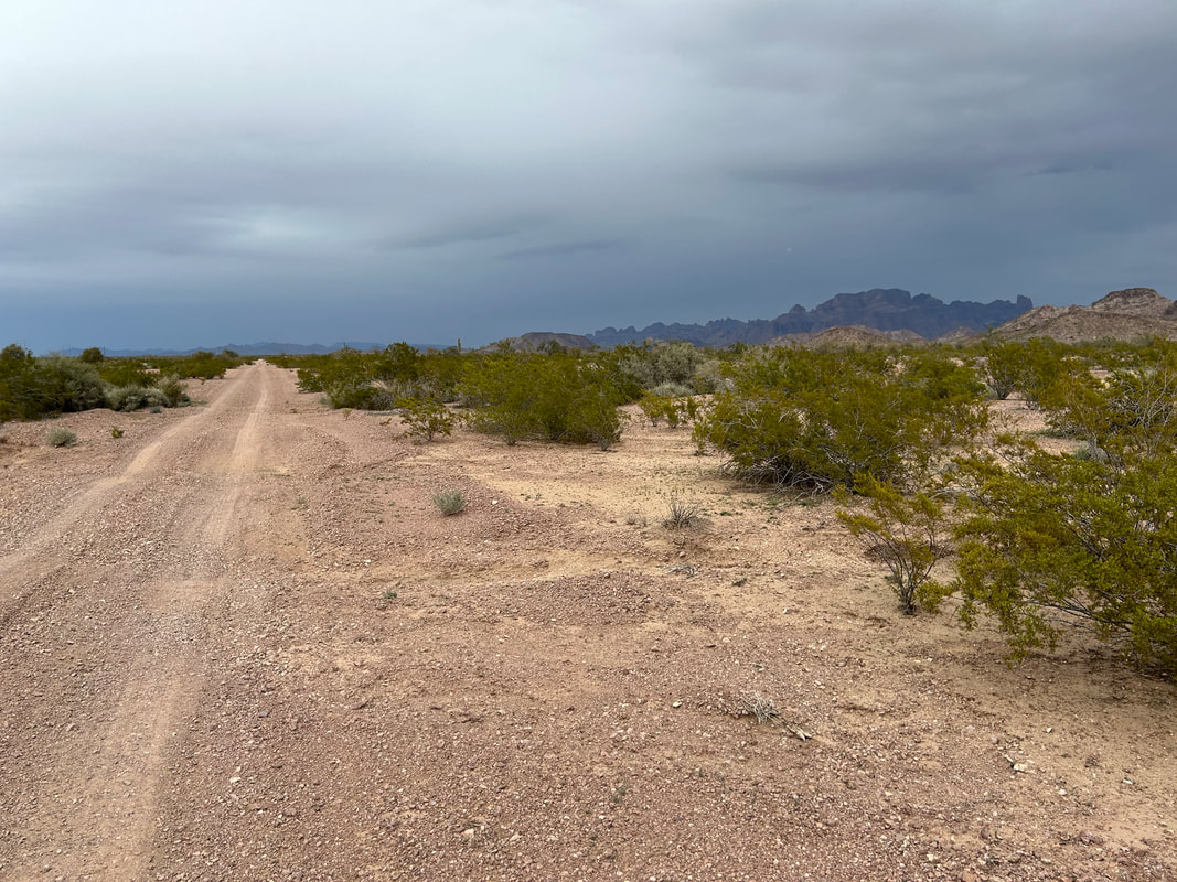
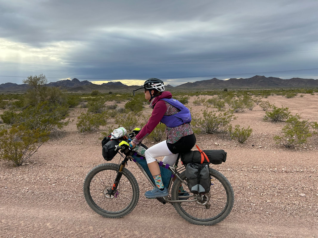
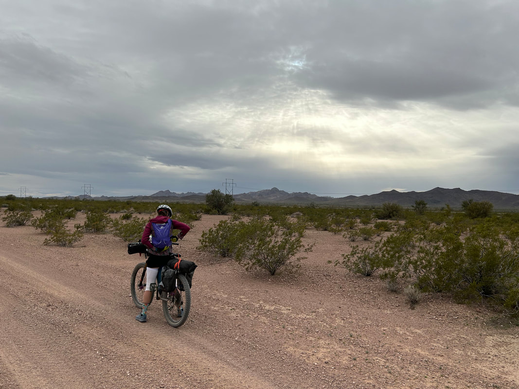
We pedaled back the car where we put the rest of our bikepacking gear on our bikes and filled our water reservoirs full because no certain water would be hit until the afternoon of the next day. By now, sheens of falling rain curtained the surrounding desert plains and obscured distant peaks. The wind had picked up into a frenzy so we biked down the route to the western pipeline road and then immediately shot south into hopefully drier conditions. The road was super flat and the dirt solid so we spun along quickly in the gathering contrast of dark clouds and backlit mountains. At the intersection with King Road we took a left eastwards into the gaining dusk. We sped past another set of well-established dispersed camping areas, up and over a rise/saddle in the range, and then sped alone down the dirt road into the heart of the Refuge. The last forecast I read predicted some solid rain and wind tonight, along with a slight chance of thunderstorms tomorrow (oh how intense they would end up being!).
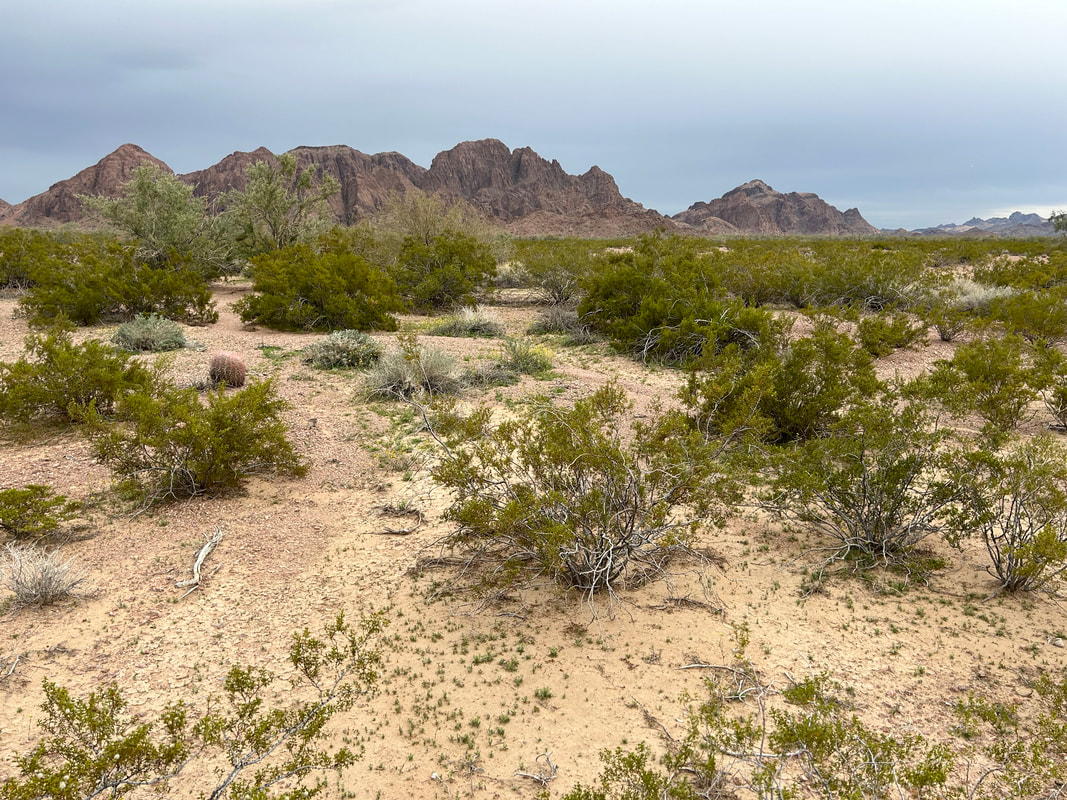
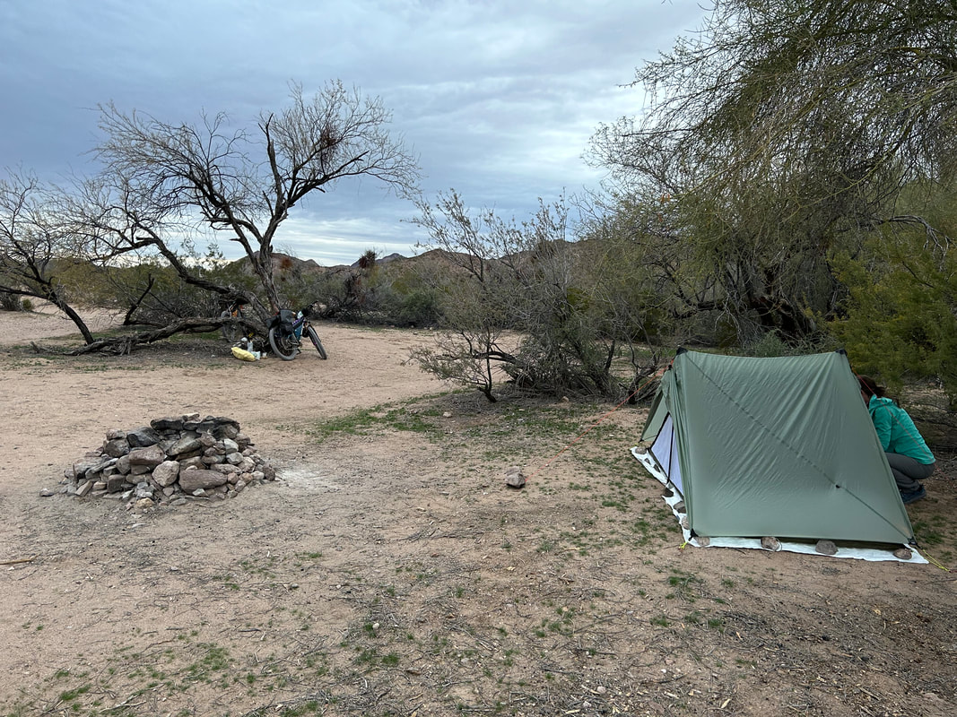
Near a wide, raised wash we spotted an awesome campsite set back in creosote and mesquite. It was roundly protected on all sides with natural windbreaks, it was flat, and above any possible flash flooding. The shelter was out and setup in the glooming gray where we sat and ate a dinner of dehydrated hashbrowns, beans, and nutritional yeast with hot sauce. The dark came on quick with the clouds, and we had no sooner entered the shelter then a steady beat of rain came down on us throughout the rest of the night.
0 Comments
Leave a Reply. |
